Elevation of Dart Canyon Rd, Crestline, CA, USA
Location: United States > California > San Bernardino County > Crestline >
Longitude: -117.26288
Latitude: 34.2578758
Elevation: 1417m / 4649feet
Barometric Pressure: 85KPa
Elevation Map:
Satellite Map:
Related Photos:

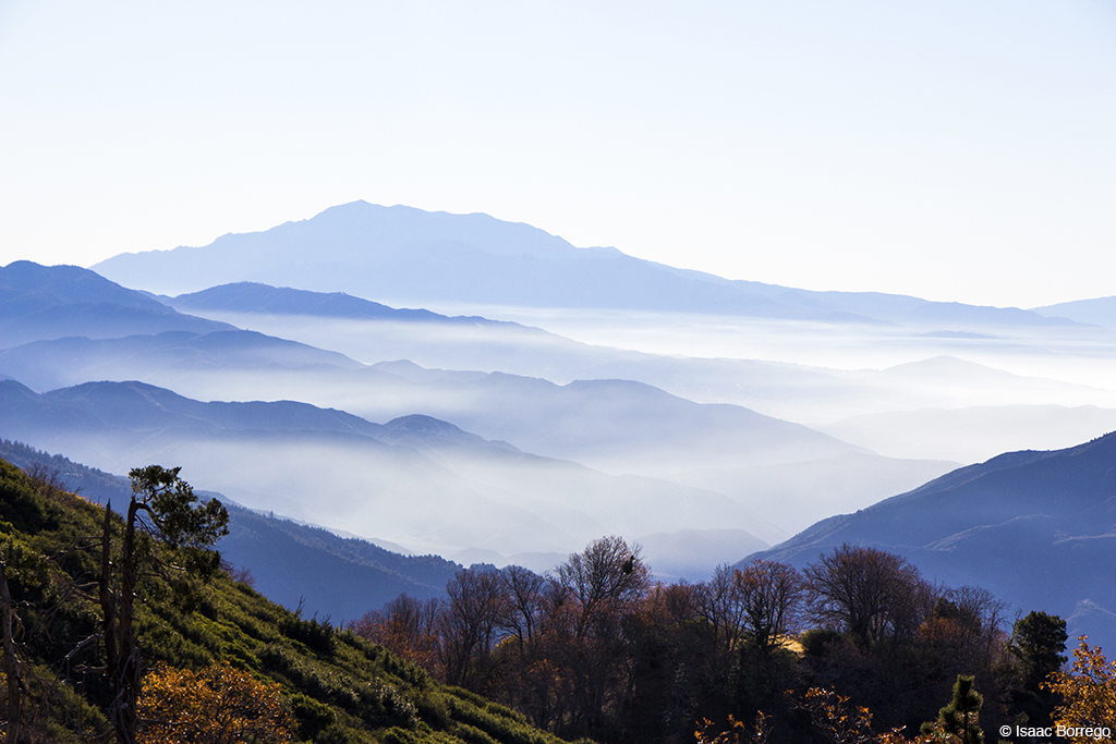
Islands in the Mist

What A Blast!

Rainbow Power

A Face Only UP Could Love
After the Storm, Ord Mountains [Explored]

A Beautiful View With A Beautiful Girl

Snow caps behind

San Bernardino Mountains
Green Topographic

Night View

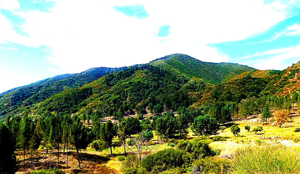
Crestline Jungle - aka My Office View Today

Nighttime over the Inland Empire

McDonald's - Blue Jay, California U.S.A. - Dining Room Entrance [1/2]

McDonald's - Blue Jay, California U.S.A. - Front Lawn

Between Stacks

Ryan Dungey

A Mixture of Fog and Clouds

Mountain Serenity

Above the Clouds

Mountain-Woman

Thanksgiving Sunset HDR
Beauty from Ashes

Fading Storm, San Bernardino Mountains [Explored]

Rainbow over Historic Route 66
Morning Creek

Sunset over Lake Arrowhead

Read the link. BNSF Train under the Old Fire smoke
Harrison Mountain, SBNF

San Bernardino city and National Forest

South from Marie Louise
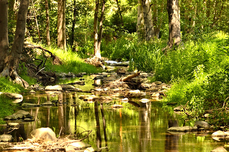
Mountain Creek

All that Remains [Explored]
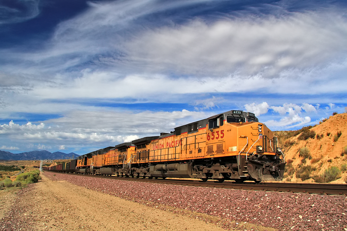
Union Pacific Coal Train at Lugo

Dead or Alive ?
On the Rim of the World

2004 Westbound MoW train in Verdemont, from my collection.

Chaparral Yucca
Topographic Map of Dart Canyon Rd, Crestline, CA, USA
Find elevation by address:

Places near Dart Canyon Rd, Crestline, CA, USA:
389 Dart Canyon Rd
154 Dart Canyon Rd
24886 Edelweiss Dr
234 Delle Dr
374 Dunant Dr
406 Darfo Dr
420 Dunant Dr
454 Delle Dr
161 Pine Ridge Rd
208 Weisshorn Dr
631 Acacia Dr
Lake Gregory
25112 Boa Dr
24375 Zurich Dr
565 Acacia Dr
24355 Zurich Dr
672 Arth Dr
Boaz Road
Arth Drive
25152 Boa Dr
Recent Searches:
- Elevation of Erika Dr, Windsor, CA, USA
- Elevation of Village Ln, Finleyville, PA, USA
- Elevation of 24 Oakland Rd #, Scotland, ON N0E 1R0, Canada
- Elevation of Deep Gap Farm Rd E, Mill Spring, NC, USA
- Elevation of Dog Leg Dr, Minden, NV, USA
- Elevation of Dog Leg Dr, Minden, NV, USA
- Elevation of Kambingan Sa Pansol Atbp., Purok 7 Pansol, Candaba, Pampanga, Philippines
- Elevation of Pinewood Dr, New Bern, NC, USA
- Elevation of Mountain View, CA, USA
- Elevation of Foligno, Province of Perugia, Italy