Elevation of Pine Ridge Rd, Crestline, CA, USA

Location: United States > California > San Bernardino County > Crestline >

Longitude: -117.27531

Latitude: 34.2516592

Elevation: 1439m / 4721feet

Barometric Pressure: 85KPa

Elevation Map:

elevation map of Pine Ridge Rd, Crestline, CA, USA

Satellite Map:

Satellite map of Pine Ridge Rd, Crestline, CA, USA

Related Photos:

california ca travel usa storm tower nature contrast photoshop canon landscape photo interestingness interesting rainbow day photographer cs2 january picture line explore socal adobe summit hesperia southerncalifornia powerpole 2012 adjust infocus cajonpass denoise 60d topazlabs photographersnaturecom davetoussaint
Rainbow Power
city longexposure night canon landscape outdoors lights view scenic nationalforest nighttime 5d southerncalifornia markii inlandempire sanbernardinomountains transverserange
Nighttime over the Inland Empire
california up trains summit unionpacific newline dda40x
UP X-6922E on New Line
california city two white house brick home floors bedroom san estate view five hill 1800s historic southern story mansion pillars majestic twostory bernardino
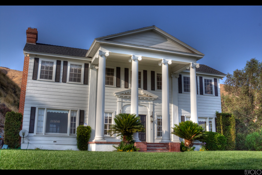
The White House (of San Bernardino)
california castle kids youth forest nikon crestline day remember view clear overlook wander reminisce memorylane lakearrowhead sanbernardino rimoftheworld sanbernardinomountains highway18 nikond90 babylonandbeyond
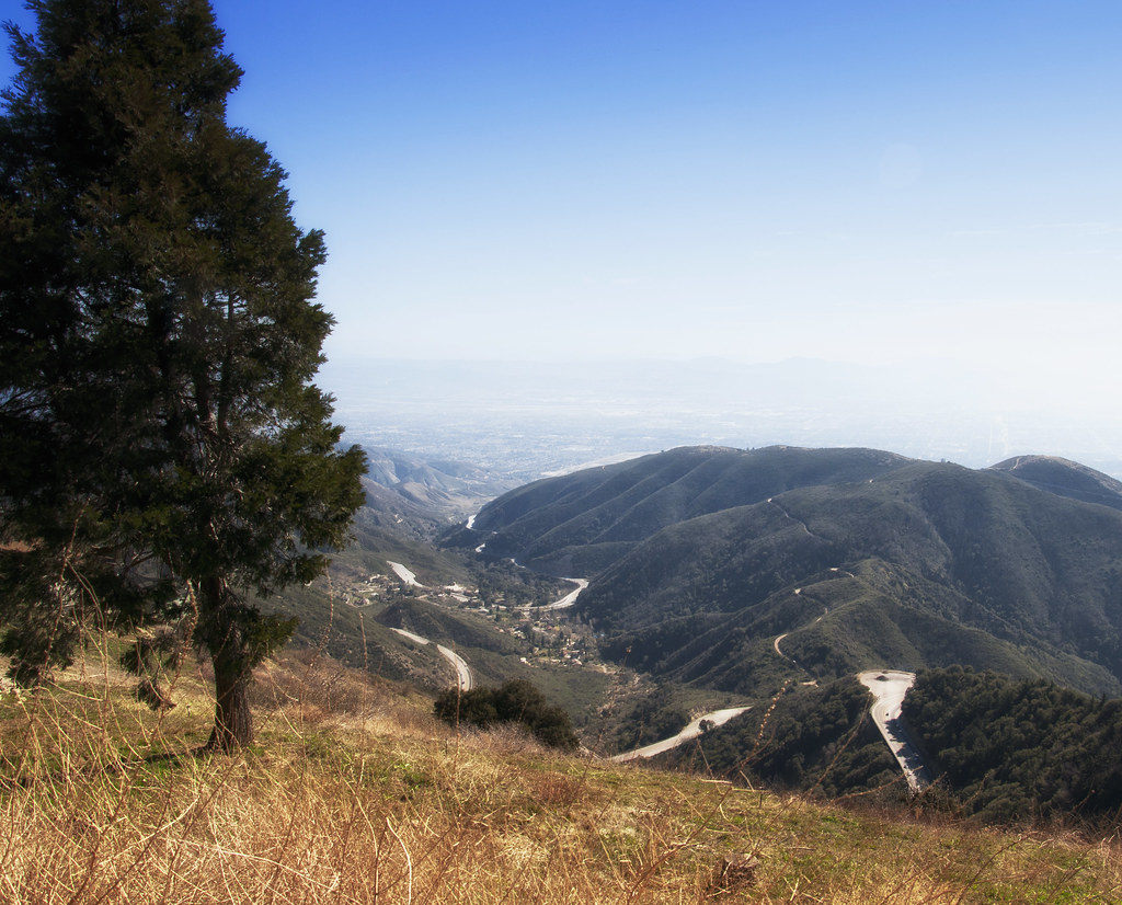
A View of the Mountain Road in Crestline, California
california wild summer baby wet water girl hat swimming fun infant crestline cutie socal recreation bathingsuit waterpark 8077 lakegregory richgreenephotographycom
What A Blast!
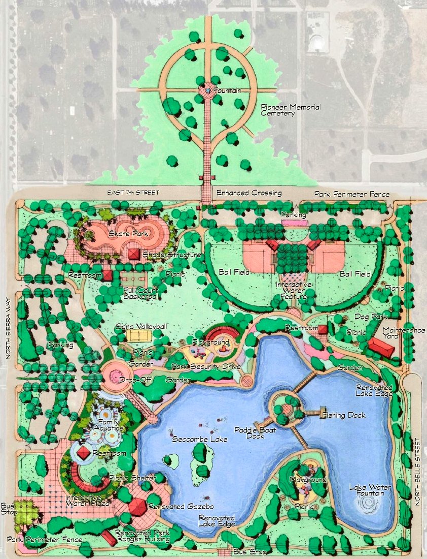
Site Plan for Renovations to Seccombe Lake and for Its Integration with the Pioneer Historical Gardens
california up trains unionpacific ge railroads sanbernardino cajonpass u50c
A Face Only UP Could Love
california canon outdoors socal canondslr bnsf locomotives cajon railroads atsf cajonpass alltrains movingtrains sbcusa alltypesoftransport aphotographersnature
Heading for Barstow
california santafe up trains highland sp summit unionpacific southernpacific espee atsf
Horseshoes and Hand Grenades
california sunset mist mountains green clouds landscape nikon hills arrowhead sanbernardino rimoftheworld jameshale jimhale shutterjack
Islands in the Mist
california old food signs green texture vintage typography lights flickr neon grunge illumination rusty retro queens signage font grungy smugmug sanbernardino explored canon5dmarkii marcshurphotographycom marcshur
Queen's Fine Food
trains sbcusa
Snow caps behind
trains railroads unionpacific up locomotive emd sd402 gp30b sd45 cajonpass summit california
Summit at Dusk
nikon san running springs d200 bernardino 2870mmf28d aplusphoto flickrlovers
Thanksgiving Sunset HDR
trees sky nature canon landscape outdoors view hiking powershot boulders pines southerncalifornia hps lakearrowhead s100 sanbernardinocounty sanbernardinonationalforest sanbernardinomountains highclouds hundredpeakssection mountmarielouise
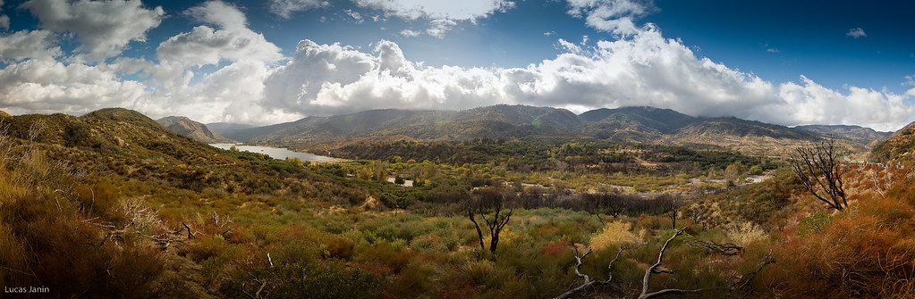
South from Marie Louise
shadow green nature canon landscape outdoors view scenic nationalforest vegetation 5d geography geology southerncalifornia folds markii chaparral topography inlandempire sanbernardinomountains transverserange
Green Topographic
cliff lights city socal sunset blue
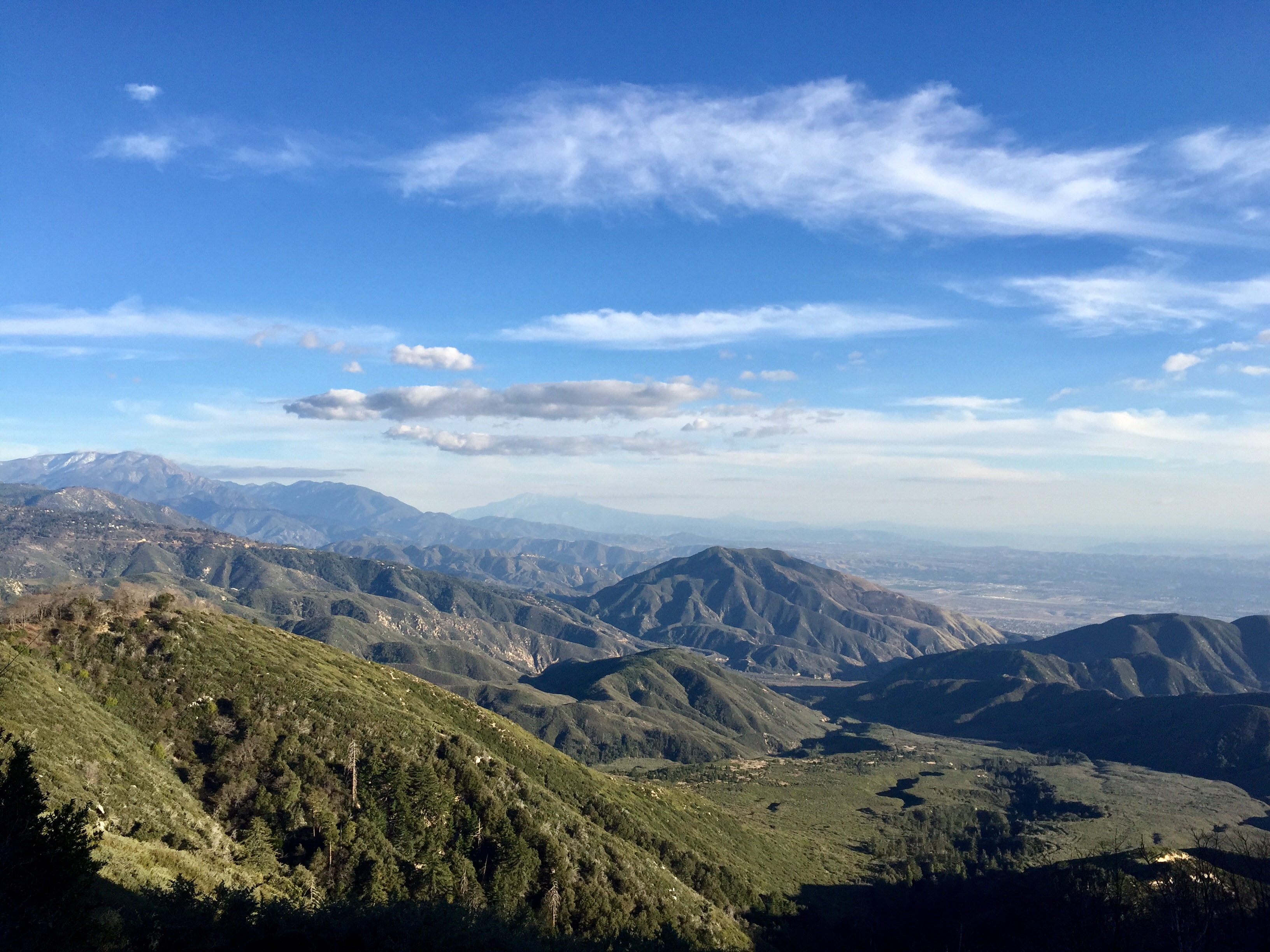
Overlooking the Inland Empire
instagramapp square squareformat iphoneography uploaded:by=instagram lofi
May your day be blessed and full of strippers and burritos or pizza Birds ???? eye ???? view #330
nikon san running springs d200 bernardino 2870mmf28d flickrlovers “nikonflickraward”
Above the Clouds
cliff mountains socal lights city blue
The IE from the Mountains Above
california road ca travel light usa cloud storm color nature photoshop canon landscape photo interestingness interesting rainbow route66 december day photographer cs2 pavement picture historic explore socal adobe southerncalifornia blend adjust infocus inlandempire 2011 devore digitalcameraclub denoise 60d topazlabs keenbrook photographersnaturecom davetoussaint mygearandme mygearandmepremium mygearandmebronze mygearandmesilver mygearandmegold me2youphotographylevel2 me2youphotographylevel3 me2youphotographylevel1 cajopass
Rainbow over Historic Route 66
california santa ca new railroad travel usa 20d nature burlington photoshop canon landscape fire photo interestingness interesting october track photographer cs2 diesel smoke sub picture engine rail east explore socal adobe locomotive fe southerncalifornia northern bnsf 2007 adjust sanbernardino infocus subdivision inlandempire cajonpass es44dc digitalcameraclub thegalaxy denoise topazlabs verdemont photographersnaturecom davetoussaint es44c4 mygearandme blinkagain
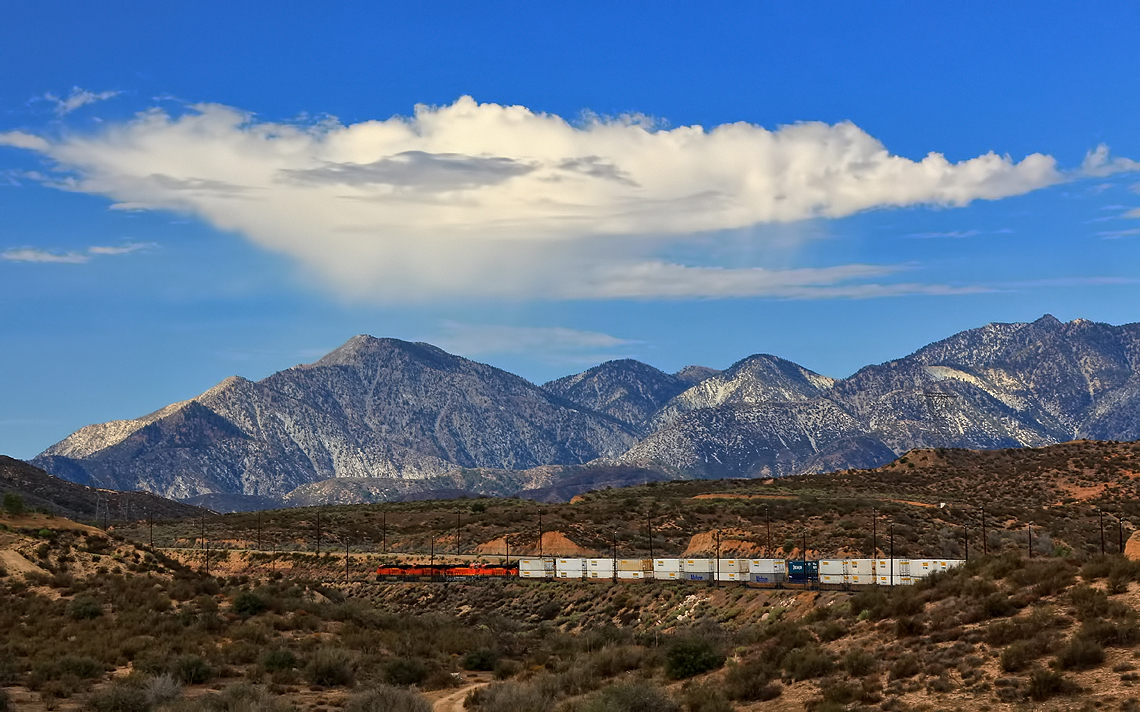
Read the link. BNSF Train under the Old Fire smoke
california blue sky panorama usa cloud lake color green landscape iso200 nikon vert ciel getty nikkor paysage gettyimages f9 lightroom silverwoodlake autopanopro nikond700 lucasjanin afsnikkor2470mmf28ged nikonflickraward ¹⁄₆₄₀sec
Silverwood Lake, CA
canon rebel xsi canyonreflections deepcreek california reflections desert unitedstates america usa
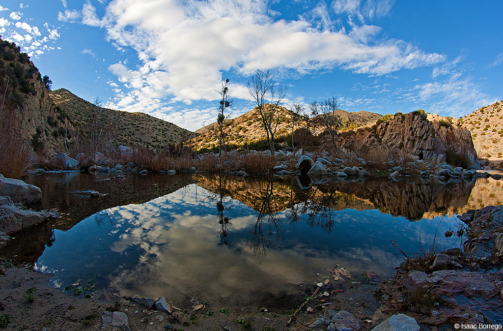
Canyon Reflections - Deep Creek, California
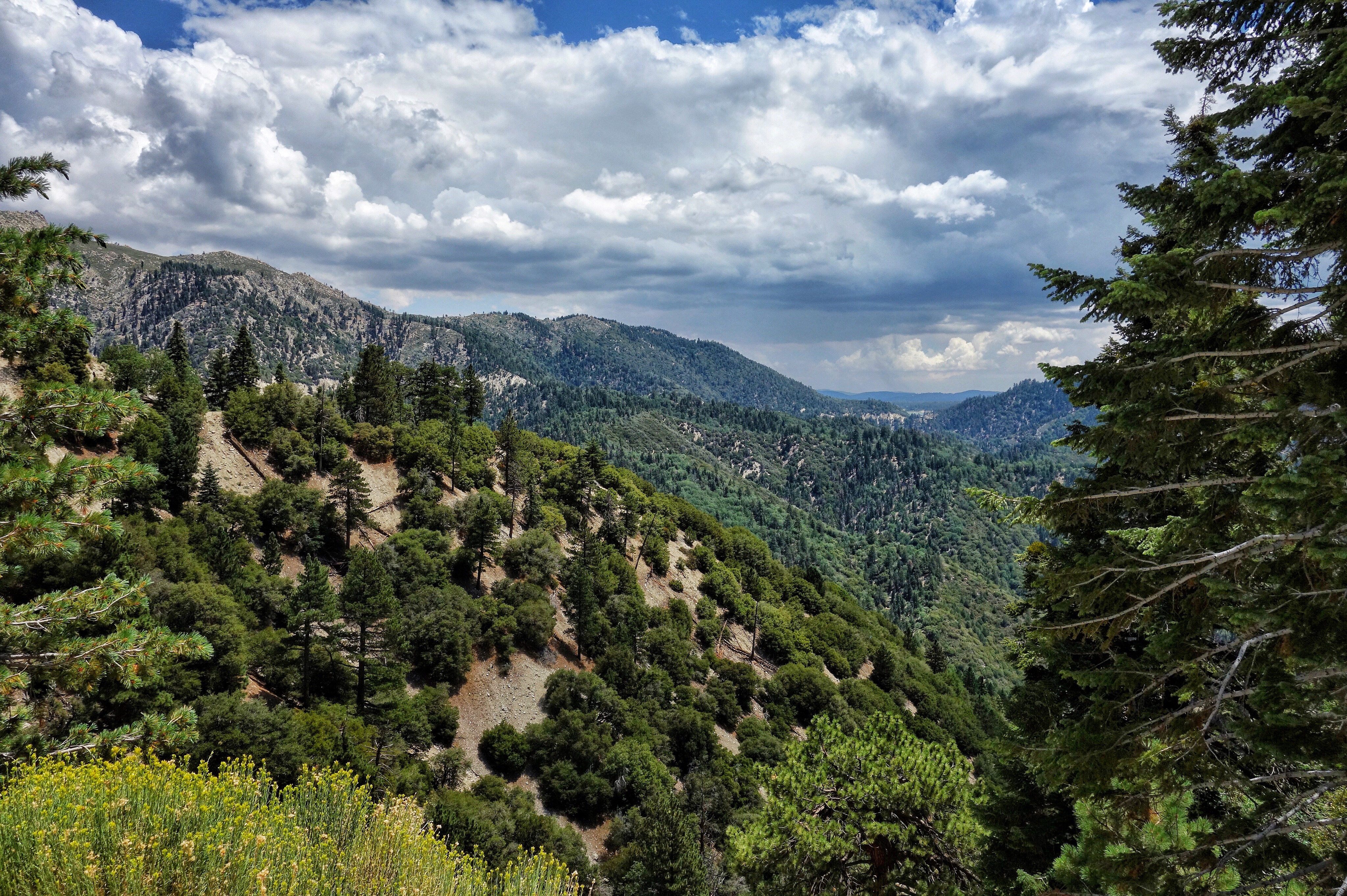
california trees mountain mountains tree nature water creek forest landscape pond nikon san crestline stream southern shade bernardino waterscape d3100
Mountain Creek
california travel 2002 usa heritage up dave train canon landscape photo pacific union 1996 pass stack southern western locomotive 1983 olympic martinez 2009 cajon unit toussaint dpu 40d photographersnaturecom davetoussaintcom kg1la
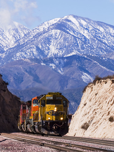
(Rare) Union Pacific KG1LA w/1983, 1996 & 2002 through Cajon Pass
bigbear bigbearlake sanbernardino sanbernardinonationalforest
#bigbear #bigbearlake #sanbernardino #sanbernardinonationalforest
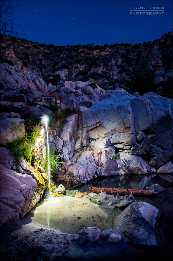
california longexposure sky usa mountain plant lightpainting color green water grass rock night montagne plante river iso800 star nikon outdoor vert ciel 24mm nikkor hotspring nuit couleur herbe fleuve lightroom f50 sanbernardinocounty longueexposition 300sec nikond700 lucasjanin afsnikkor2470mmf28ged lightroom4
Waterfall of Light
Desert trip
square lofi squareformat iphoneography instagramapp uploaded:by=instagram foursquare:venue=500b1edae4b0ddfaa6ed263f
#sanbernardinomountains #mountains #runningsprings #hwy18
cliff sunset mountains socal rimoftheworld blue
Rim of the World Highway
rimoftheworld forest nature socal mountains sunset cliff
Sunset at Rim of the World
california ca travel usa nature train photoshop canon landscape photo interestingness google interesting day photographer cloudy picture clarity september explore socal adobe getty southerncalifornia bnsf adjust infocus sanbernardinonationalforest cajonpass cs6 2013 cajonsummit denoise 60d topazlabs cajonjunction photographersnaturecom davetoussaint
Clouds Over Cajon Summit
california ca railroad travel usa mountain nature train photoshop canon landscape photo interestingness google interesting track photographer sub picture clarity explore socal adobe april getty hesperia southerncalifornia signal bnsf adjust eastbound infocus 2014 intermodal cs6 summitvalley denoise 60d topazlabs photographersnaturecom davetoussaint cajonsubdivision
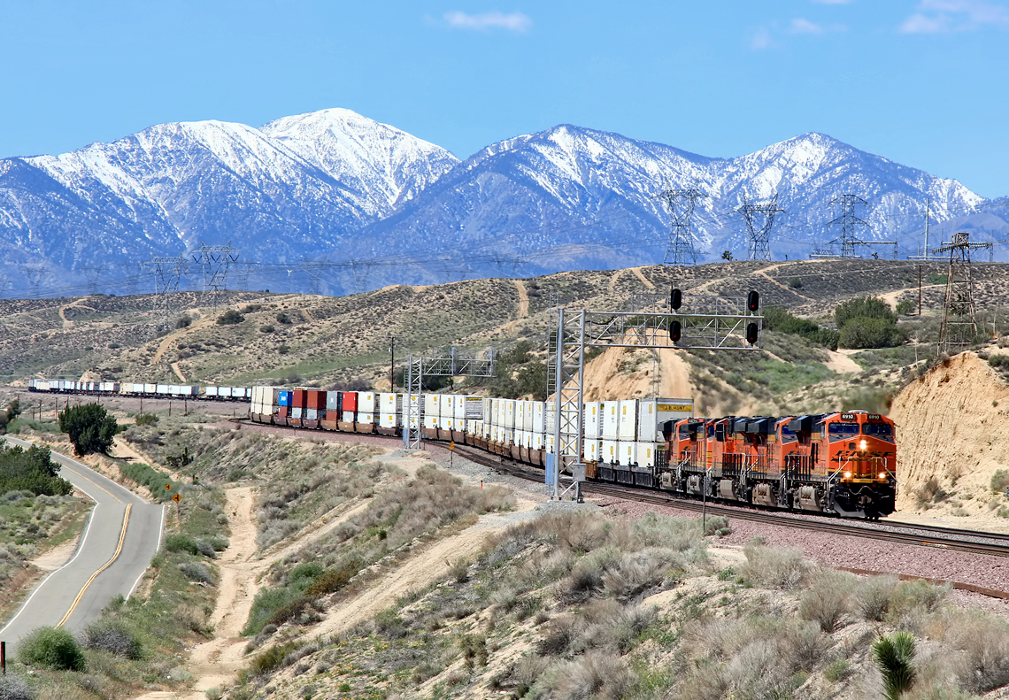
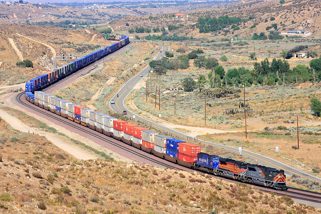
Eastbound through Summit Valley