Elevation of Boa Dr, Crestline, CA, USA
Location: United States > California > San Bernardino County > Crestline >
Longitude: -117.25334
Latitude: 34.2428608
Elevation: 1477m / 4846feet
Barometric Pressure: 85KPa
Elevation Map:
Satellite Map:
Related Photos:

A Face Only UP Could Love

Islands in the Mist

Queen's Fine Food
Snow caps behind

SD Trucks In The Shops Over The Pit

Overlooking the Inland Empire

Thanksgiving Sunset HDR

South from Marie Louise
Green Topographic

May your day be blessed and full of strippers and burritos or pizza Birds ???? eye ???? view #330

Santa Fe Main Leaving San Bernardino
View From Work

Above the Clouds

The IE from the Mountains Above
California Views

Blue-throated Hummingbird

Renaissance Pleasure Faire 1996
Morning #view #snow
Nighttime over the Inland Empire
prcssd. air tanker base. san bernardino, ca. 2011.
House Fire

Rainbow over Historic Route 66
2004 Westbound MoW train in Verdemont, from my collection.
Fire on the Water

110-365 Fishing Reconnaissance
Union Pacific Coal Train at Lugo

BNSF 7509 at Devore, Ca 2011 Mar 3 103

#sanbernardinomountains #mountains #runningsprings #hwy18

Rim of the World Highway

Desert Drive

Sunset at Rim of the World

Above it all

Orange Saddleback
The dead tree
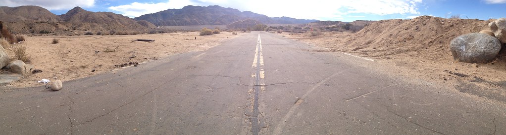
Deserted highway
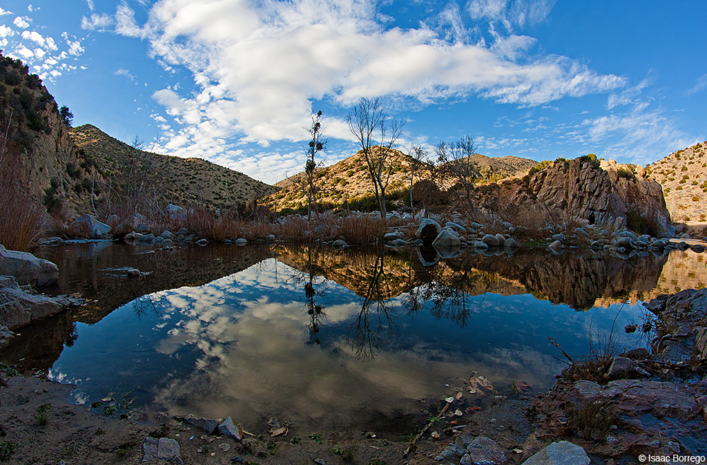
Canyon Reflections - Deep Creek, California
Topographic Map of Boa Dr, Crestline, CA, USA
Find elevation by address:

Places near Boa Dr, Crestline, CA, USA:
656 Chateau Dr
25112 Boa Dr
668 Chillon Dr
631 Acacia Dr
791 Chateau Dr
565 Acacia Dr
801 Arosa Dr
758 Arosa Dr
Boaz Road
983 Chateau Dr
24924 Saxon Dr
Arth Drive
420 Dunant Dr
24902 Matterhorn Ct
Basel Drive
Basel Drive
374 Dunant Dr
24873 Basel Dr
1076 Calanda Dr
672 Arth Dr
Recent Searches:
- Elevation of Zu den Ihlowbergen, Althüttendorf, Germany
- Elevation of Badaber, Peshawar, Khyber Pakhtunkhwa, Pakistan
- Elevation of SE Heron Loop, Lincoln City, OR, USA
- Elevation of Slanický ostrov, 01 Námestovo, Slovakia
- Elevation of Spaceport America, Co Rd A, Truth or Consequences, NM, USA
- Elevation of Warwick, RI, USA
- Elevation of Fern Rd, Whitmore, CA, USA
- Elevation of 62 Abbey St, Marshfield, MA, USA
- Elevation of Fernwood, Bradenton, FL, USA
- Elevation of Felindre, Swansea SA5 7LU, UK