Elevation of Dunant Dr, Crestline, CA, USA
Location: United States > California > San Bernardino County > Crestline >
Longitude: -117.26060
Latitude: 34.2461885
Elevation: 1449m / 4754feet
Barometric Pressure: 85KPa
Elevation Map:
Satellite Map:
Related Photos:

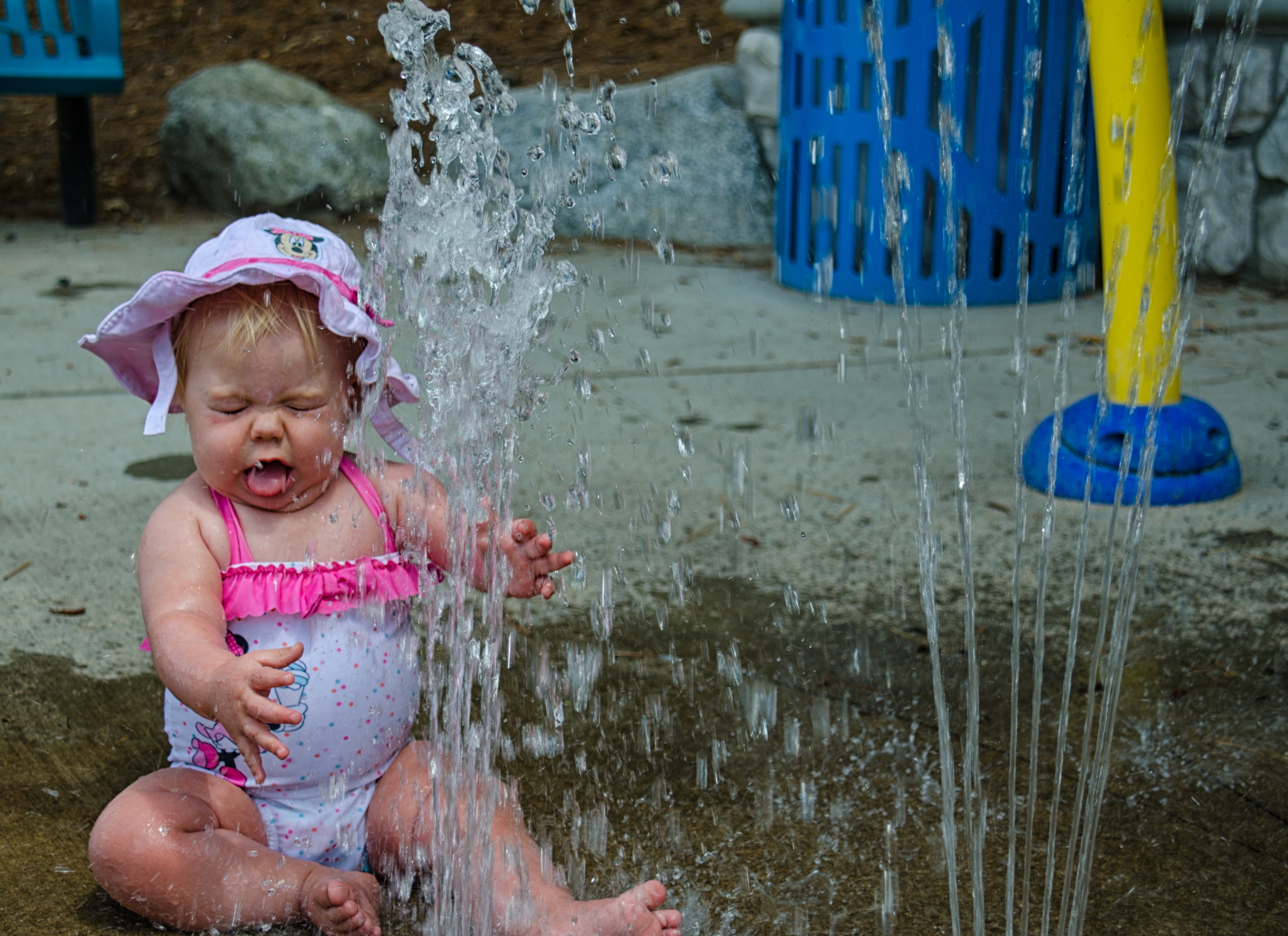
Islands in the Mist
What A Blast!

A Face Only UP Could Love

Queen's Fine Food

prcssd. combat camera. san bernardino, ca. 2011.

South from Marie Louise

Northern Flicker

prcssd. air tanker base. san bernardino, ca. 2011.

View From Work
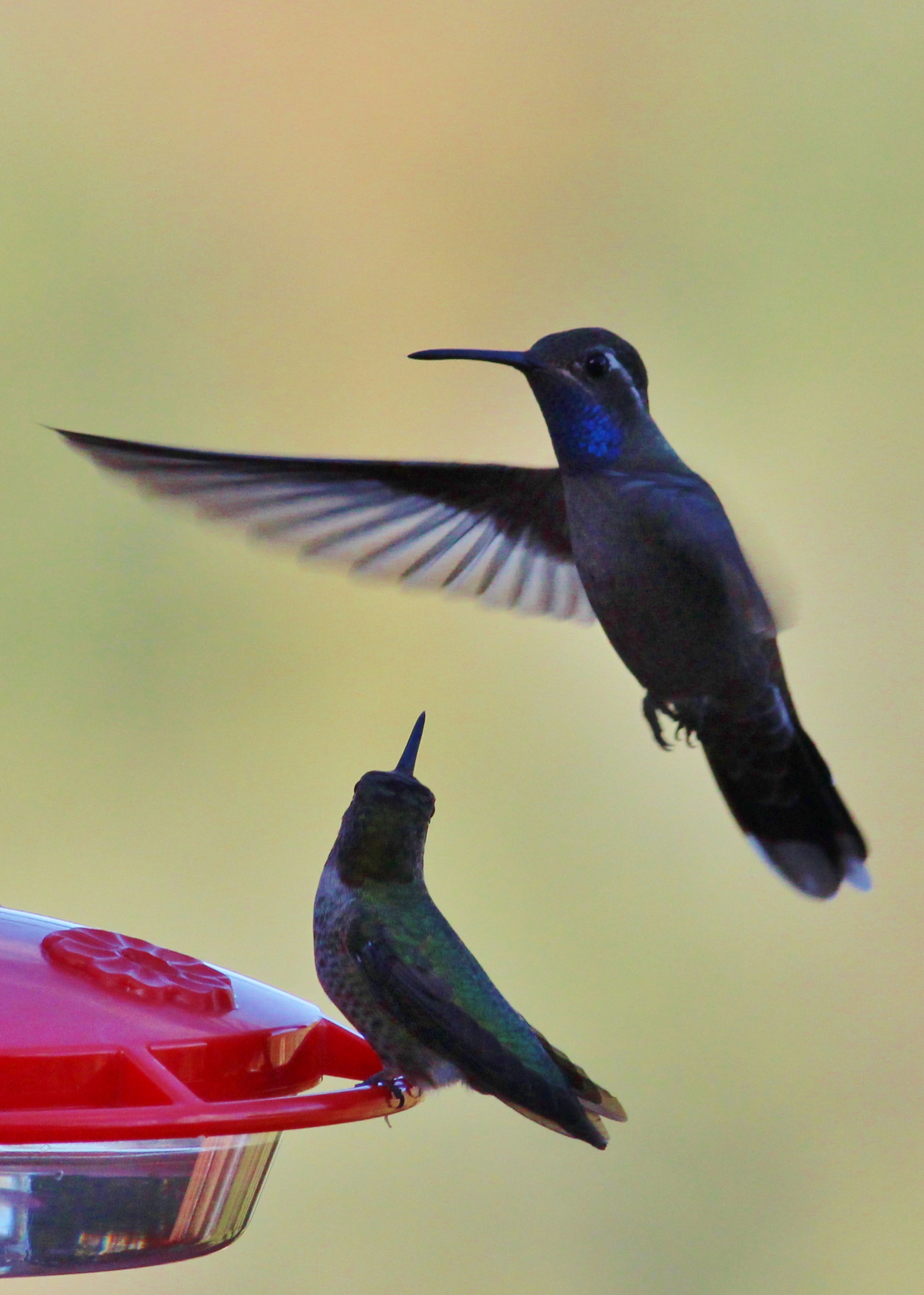
Blue-throated Hummingbird

Ruben's Diner

San Bernardino Shops Storehouse

San Bernardino City Unified School District

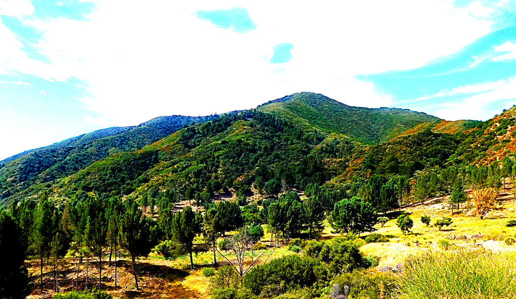
Crestline Jungle - aka My Office View Today

UP SD40-2 #3577

Mountain View 8736

Overlooking the Inland Empire

Renaissance Pleasure Faire 1996

A Mixture of Fog and Clouds

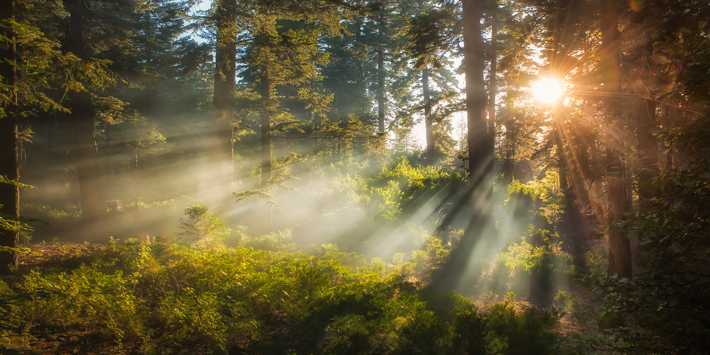
Mountain Serenity

Above the Clouds
Beauty from Ashes

Eastbound through Summit Valley

Rainbow over Historic Route 66

Lake Arrowhead Village, CA 7-15-17
Morning Creek

Sunset over Lake Arrowhead

Carousel Memories, Lake Arrowhead, CA 2017

Snow caps behind
Harrison Mountain, SBNF

San Bernardino Mountains
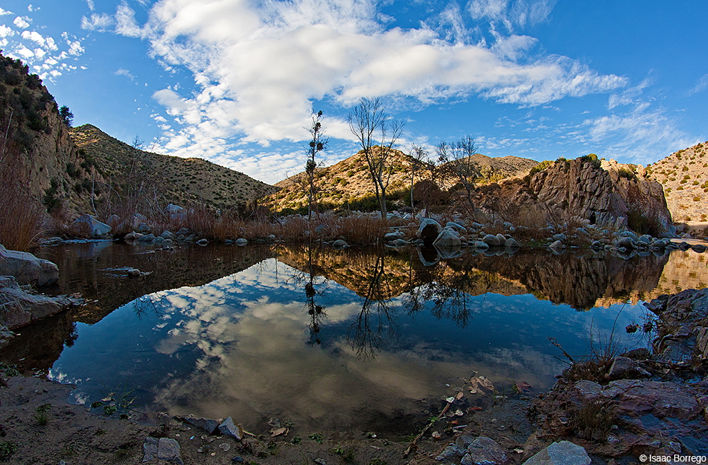
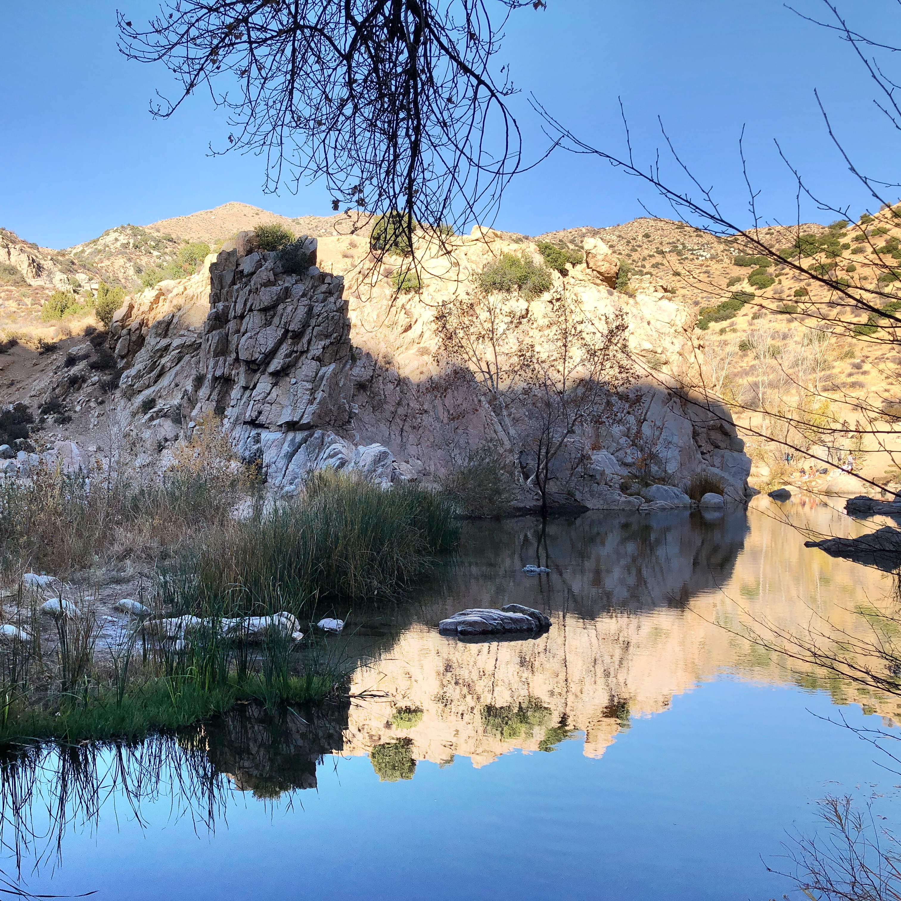
Canyon Reflections - Deep Creek, California

Dead or Alive ?

In-N-Out Burger

2004 Westbound MoW train in Verdemont, from my collection.

1255 Relaxing in the morning sun at Deep Creek Hot Springs

Chaparral Yucca

Top of the World Highway, California

Lake Gregory Reflections

Sheriff's 10K Trail Run
Topographic Map of Dunant Dr, Crestline, CA, USA
Find elevation by address:

Places near Dunant Dr, Crestline, CA, USA:
420 Dunant Dr
454 Delle Dr
406 Darfo Dr
24886 Edelweiss Dr
631 Acacia Dr
565 Acacia Dr
672 Arth Dr
Boaz Road
25112 Boa Dr
Arth Drive
154 Dart Canyon Rd
234 Delle Dr
758 Arosa Dr
24902 Matterhorn Ct
24924 Saxon Dr
25152 Boa Dr
801 Arosa Dr
24873 Basel Dr
Lake Gregory
656 Chateau Dr
Recent Searches:
- Elevation of Elwyn Dr, Roanoke Rapids, NC, USA
- Elevation of Congressional Dr, Stevensville, MD, USA
- Elevation of Bellview Rd, McLean, VA, USA
- Elevation of Stage Island Rd, Chatham, MA, USA
- Elevation of Shibuya Scramble Crossing, 21 Udagawacho, Shibuya City, Tokyo -, Japan
- Elevation of Jadagoniai, Kaunas District Municipality, Lithuania
- Elevation of Pagonija rock, Kranto 7-oji g. 8"N, Kaunas, Lithuania
- Elevation of Co Rd 87, Jamestown, CO, USA
- Elevation of Tenjo, Cundinamarca, Colombia
- Elevation of Côte-des-Neiges, Montreal, QC H4A 3J6, Canada