Elevation of Chillon Dr, Twin Peaks, CA, USA
Location: United States > California > San Bernardino County > Twin Peaks >
Longitude: -117.25143
Latitude: 34.241365
Elevation: 1563m / 5128feet
Barometric Pressure: 84KPa
Elevation Map:
Satellite Map:
Related Photos:

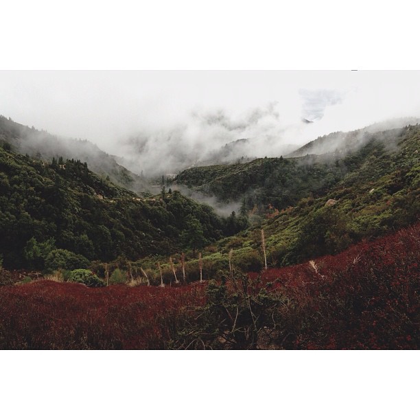
A Mixture of Fog and Clouds
South from Marie Louise

Above the Clouds

Thanksgiving Sunset HDR

air combat camera service. san bernardino, ca. 2011.
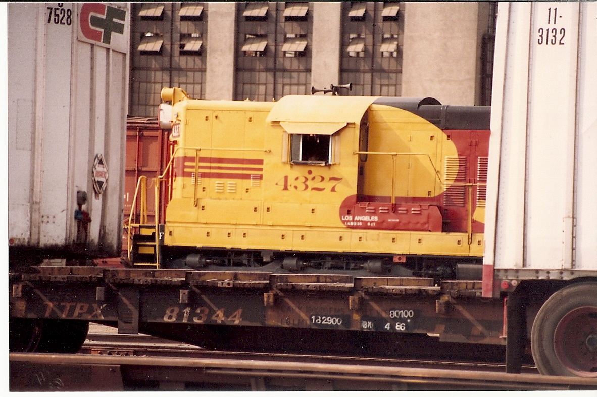
Southern Pacific SD9 #4327 In Radiant Kodachrome
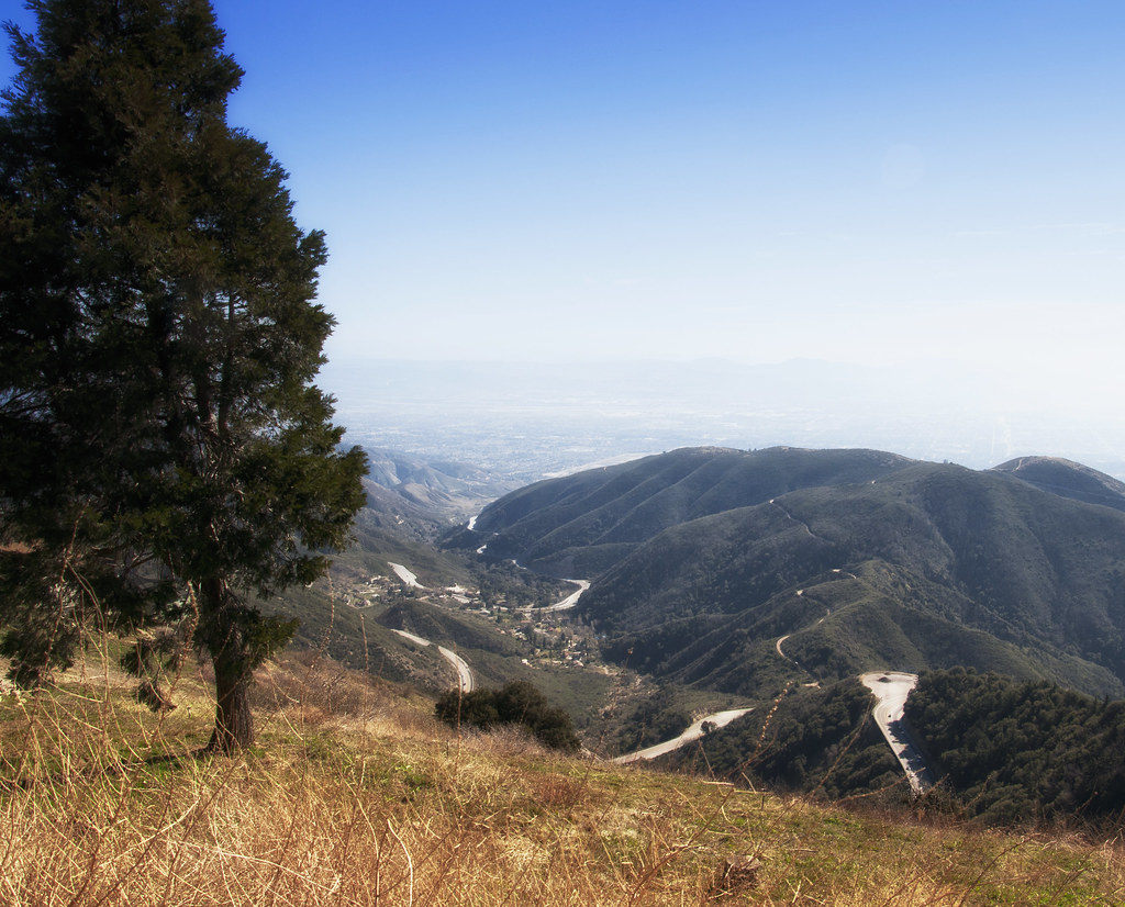
A View of the Mountain Road in Crestline, California
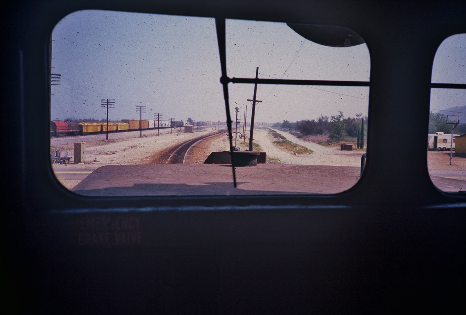
SP in cab
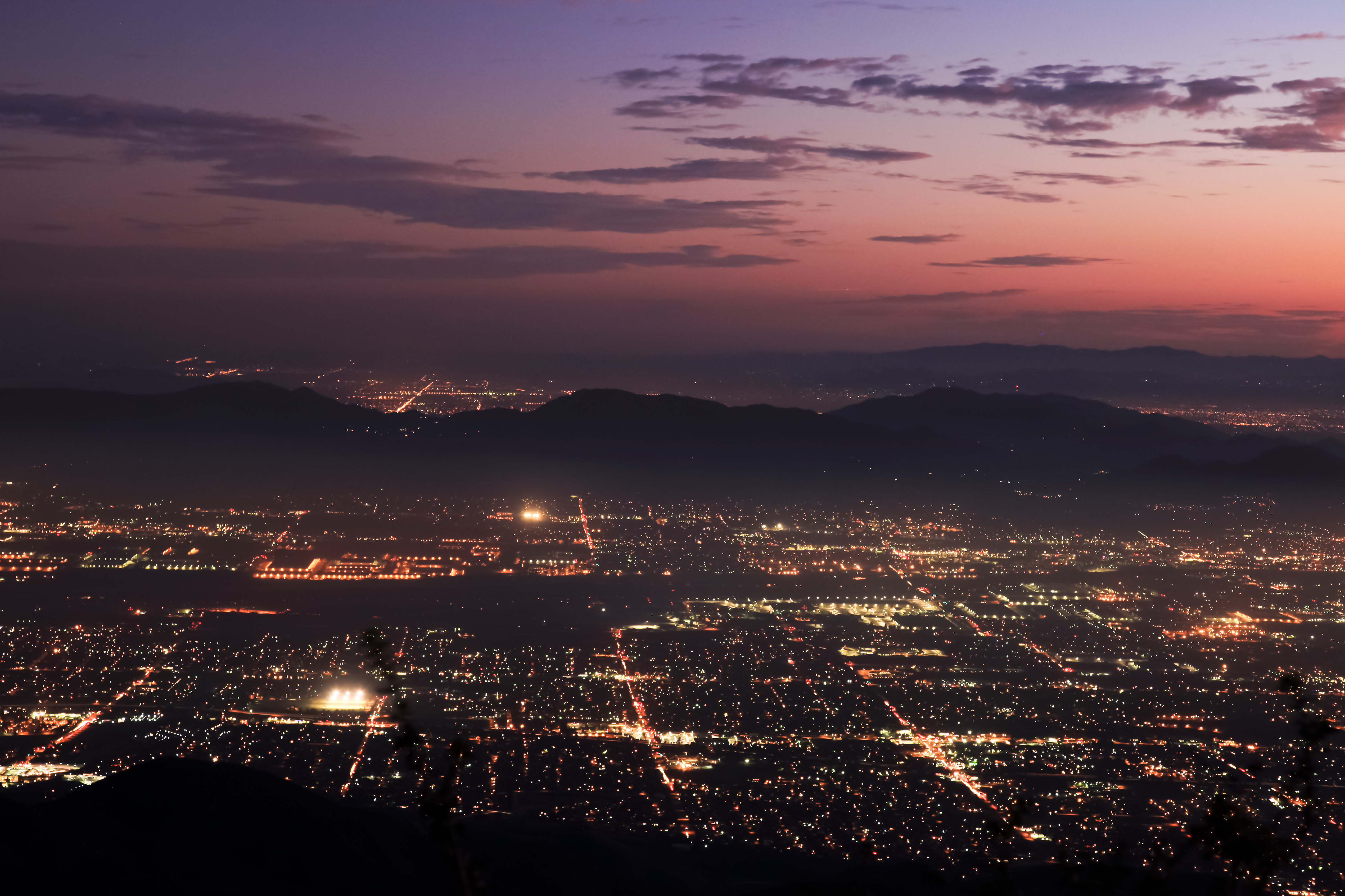
Nighttime over the Inland Empire
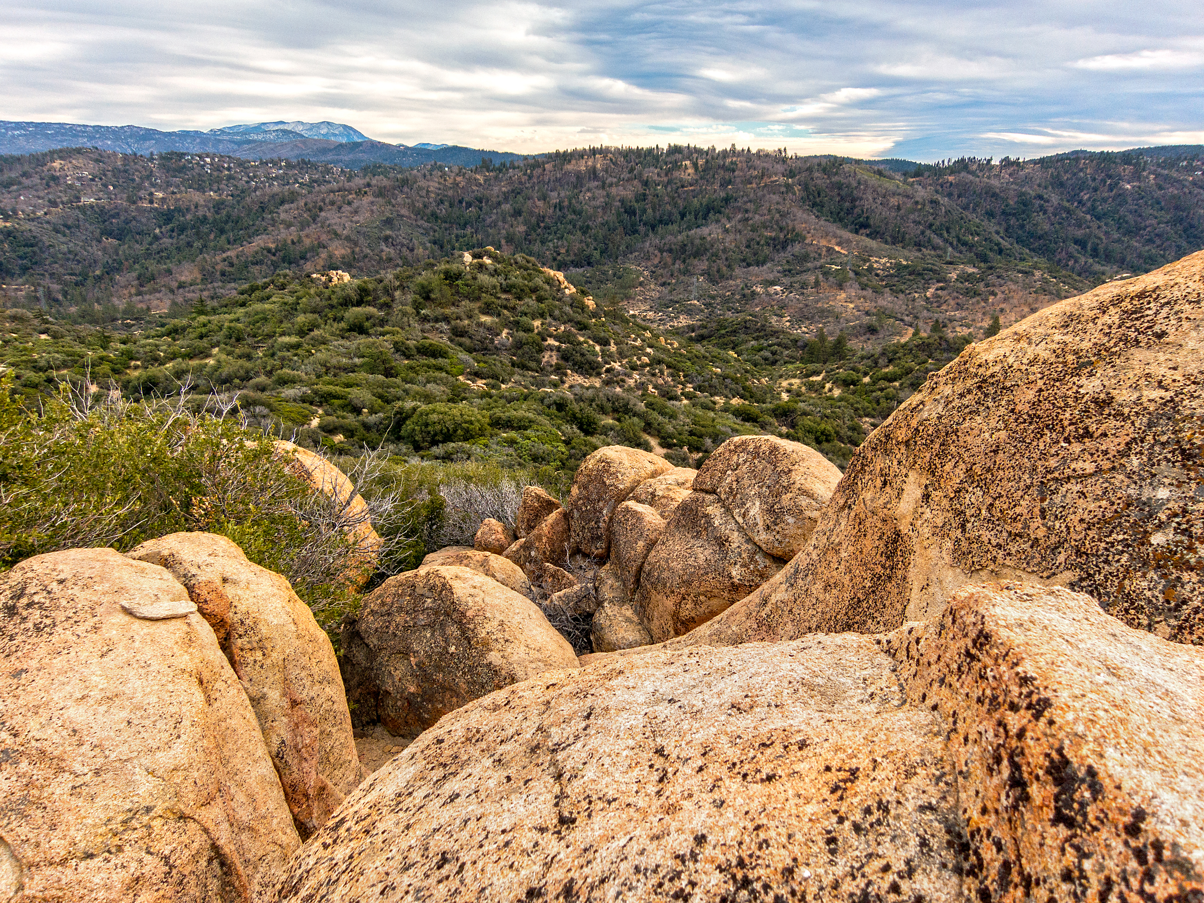
Crumbled Landscape
Wildwood Park, Recreation & Community Center - San Bernardino

A Face Only UP Could Love

Queen's Fine Food

El Cajon Motel
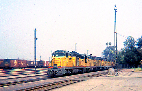
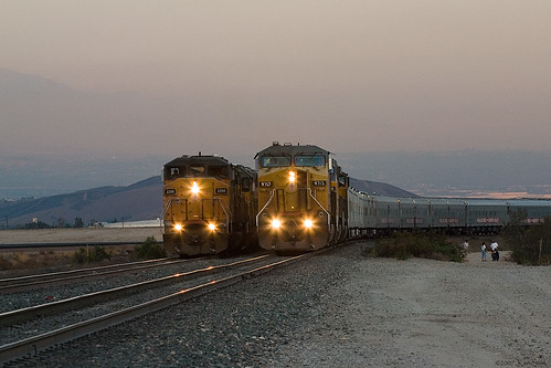
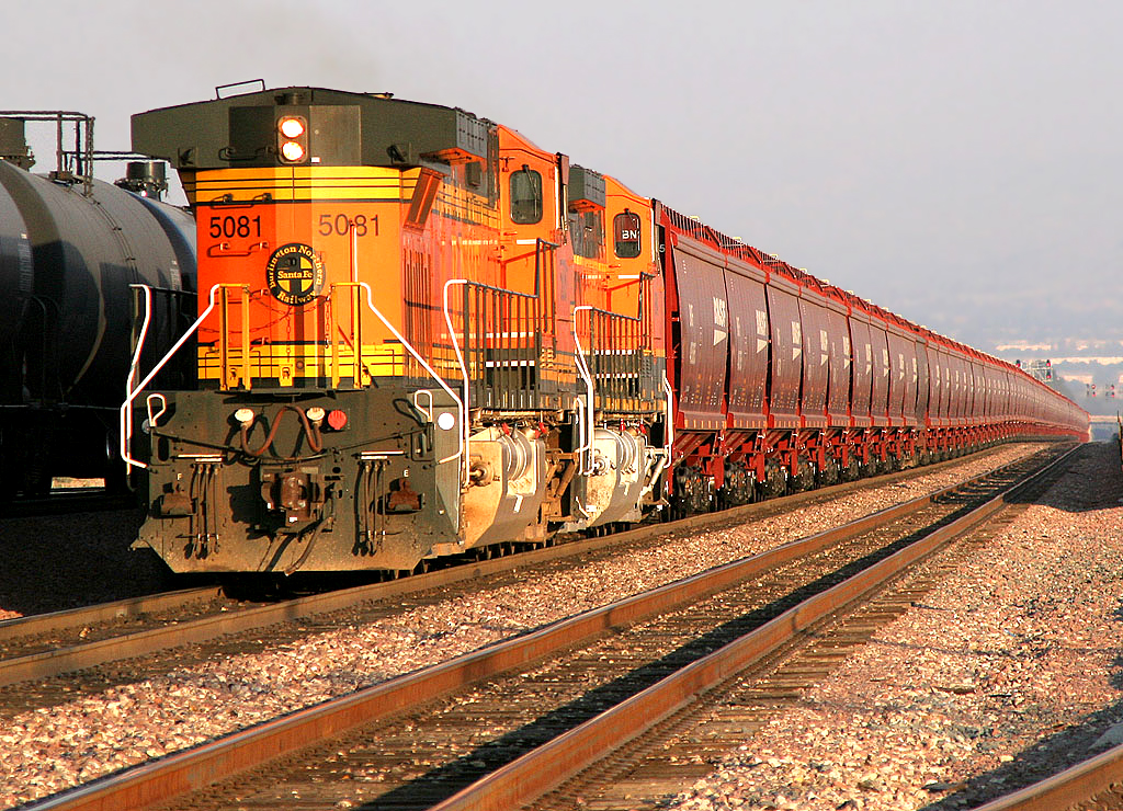
UP Westbound @ San Bernardino

prcssd. combat camera. san bernardino, ca. 2011.
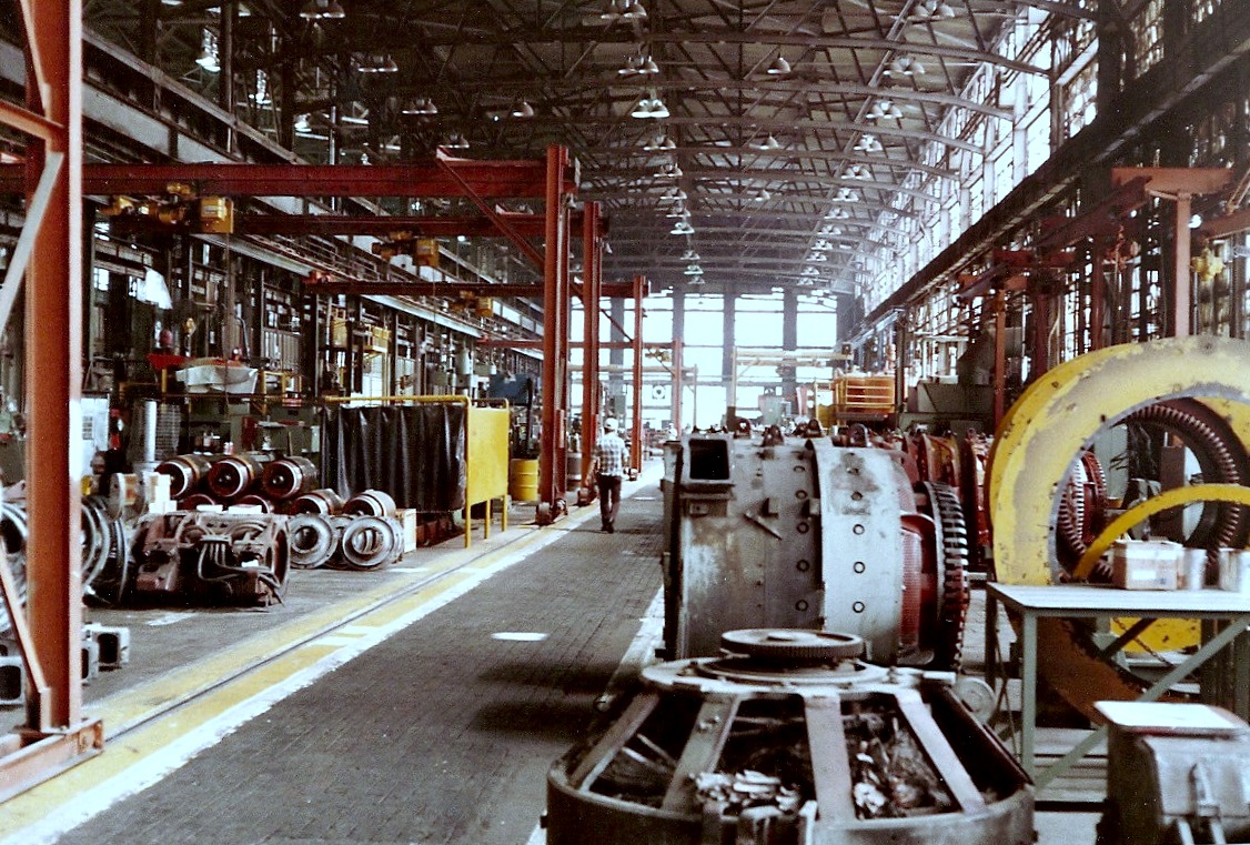
Traction Motor Shop

Santa Fe Main Leaving San Bernardino
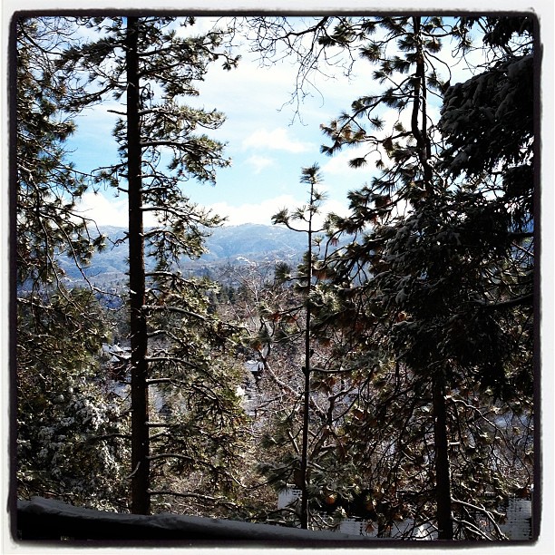
Morning #view #snow
Two @ Dike
Green Topographic
2004 Westbound MoW train in Verdemont, from my collection.
On the Rim of the World
Deep Creek, California
2074 Vista
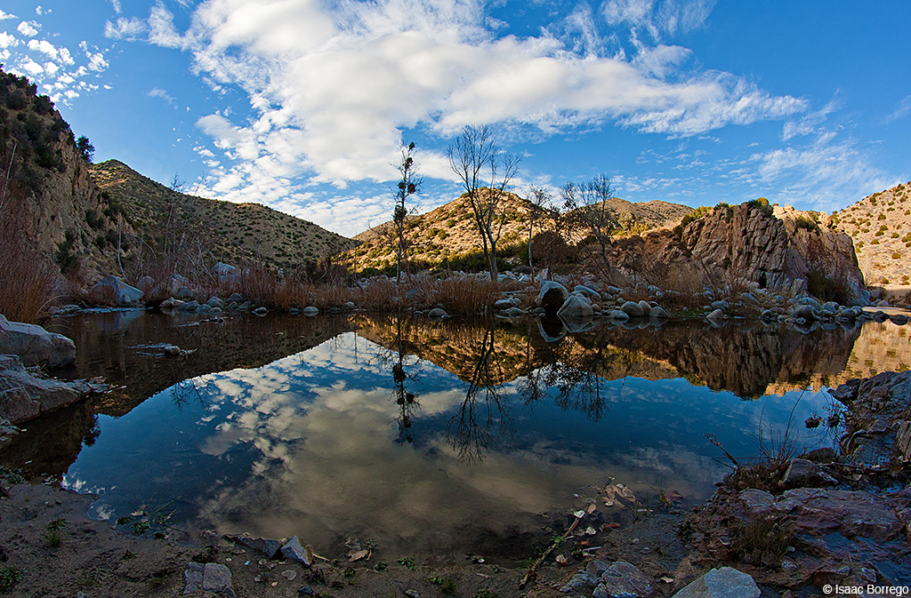
Canyon Reflections - Deep Creek, California

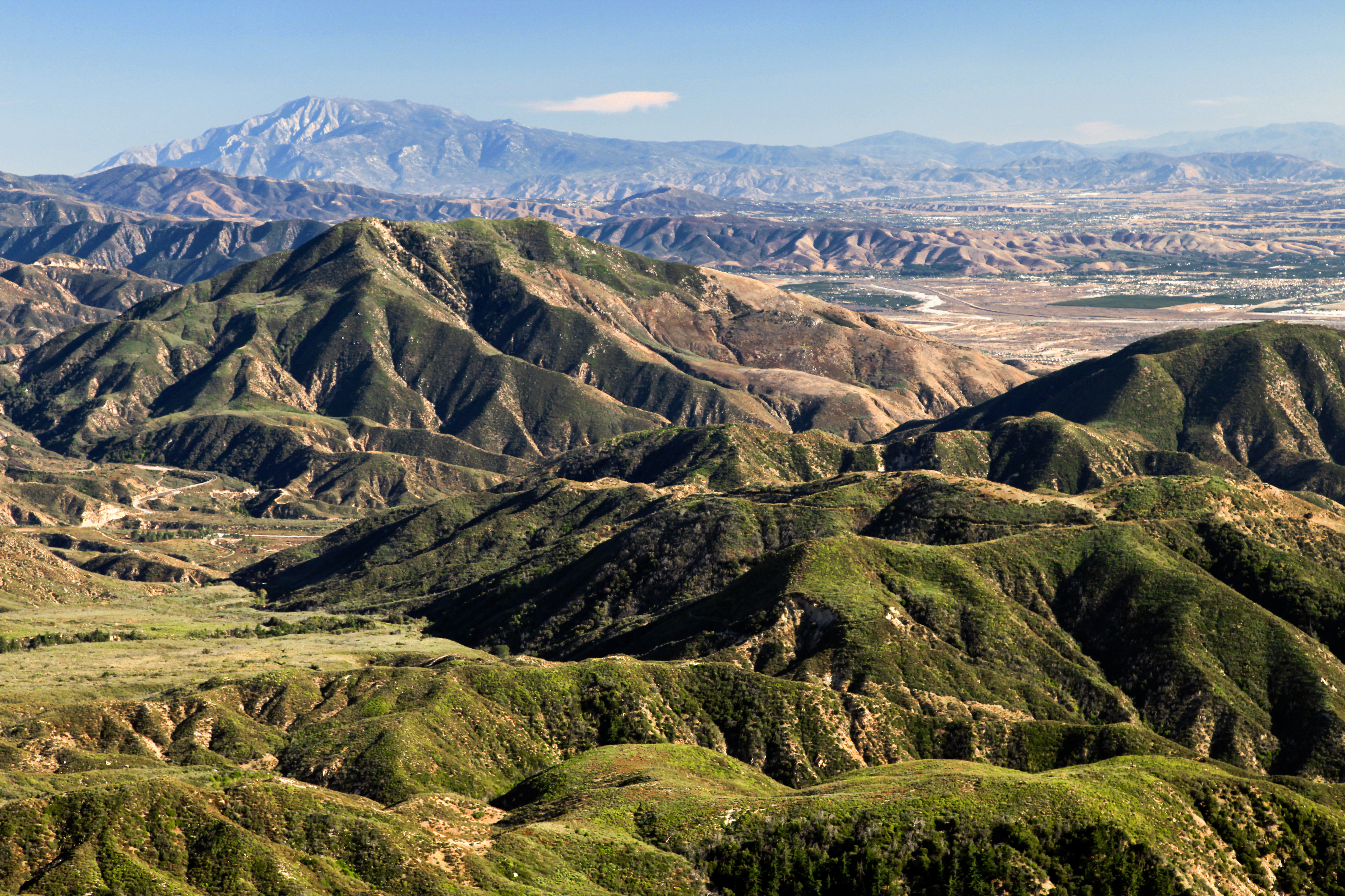
San Bernardino city and National Forest

#GreenValleyLake
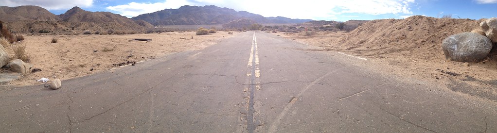
Deserted highway

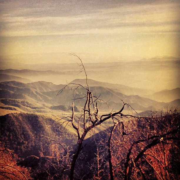
Above it all

110-365 Fishing Reconnaissance

Dead But Still Living
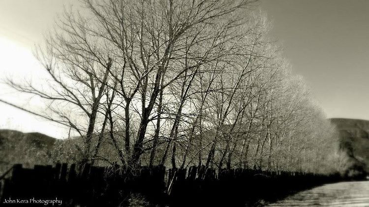
Taken earlier today in Devore, California, just amazing myself with California's landscapes. #nature #landscape #canon #canon_photos #johnkeraphotography #trees #fence #california #blackandwhite #photography #photographer #art
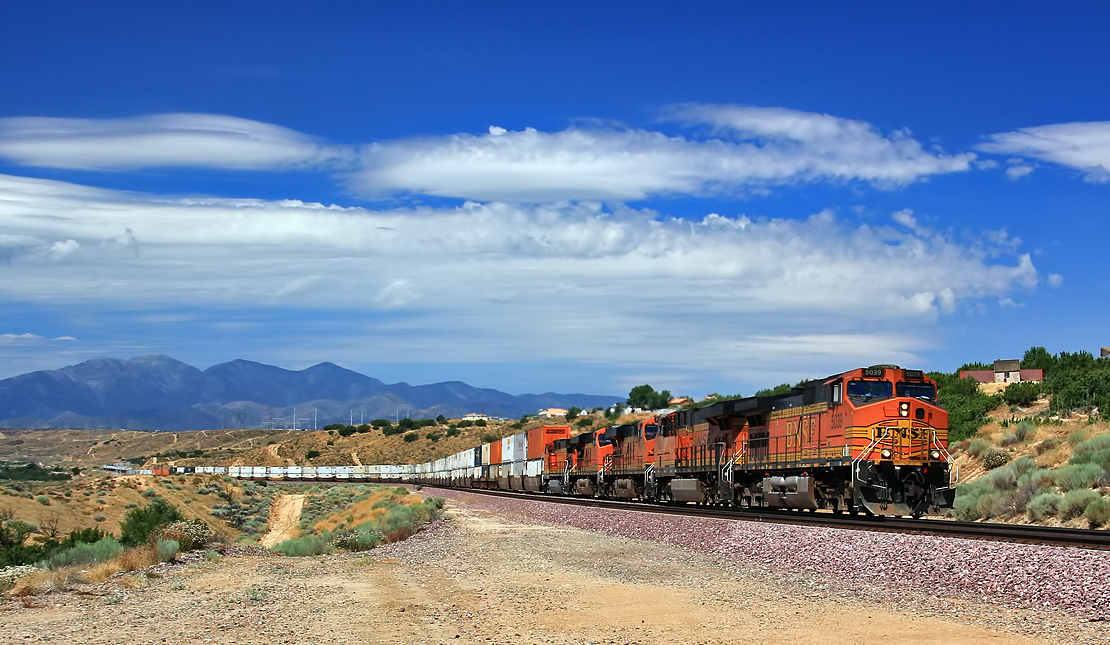
Eastbound BNSF through Lugo

Sheriff's 10K Trail Run
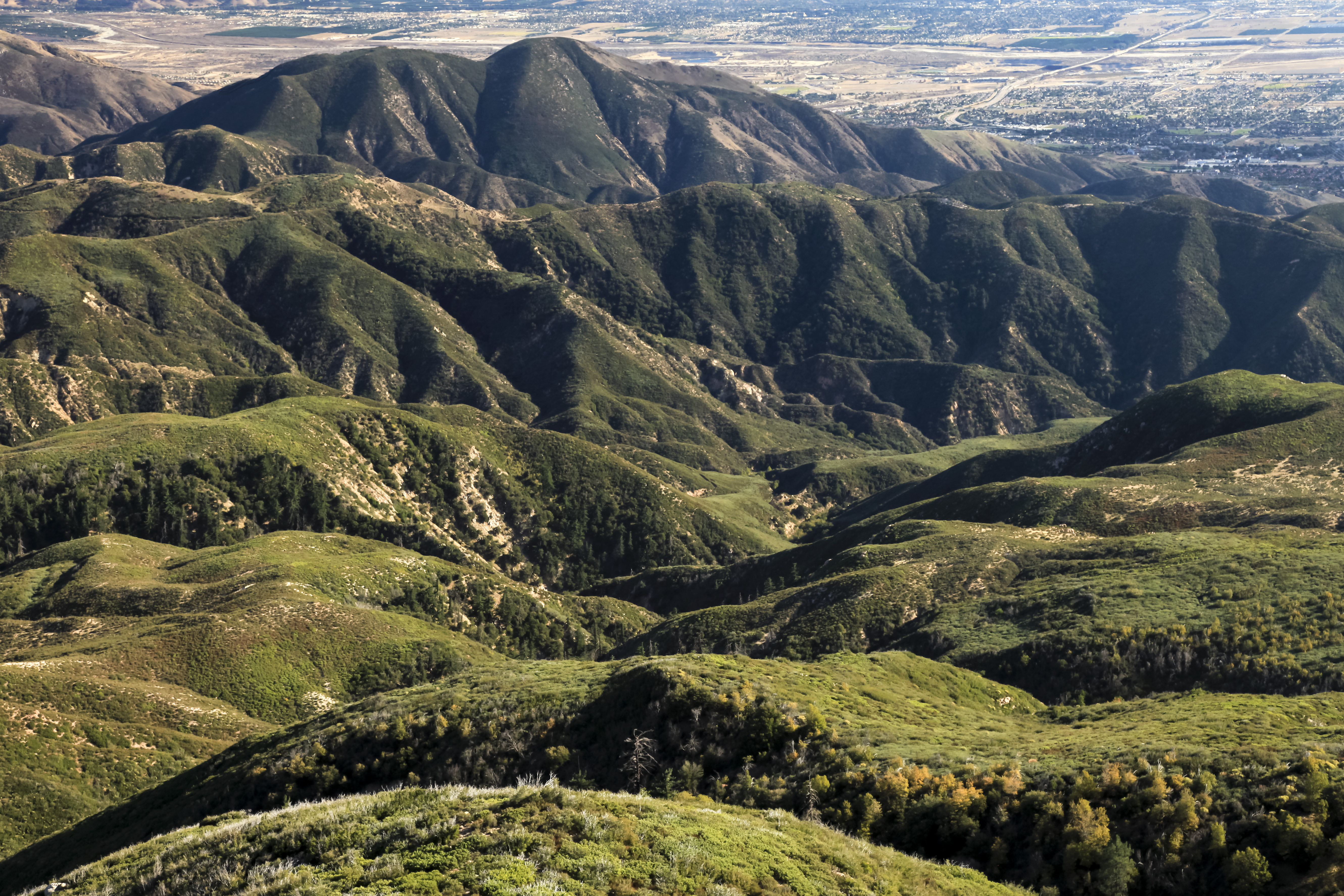
San Bernardino National Forest, California
New Hoppers Going Away
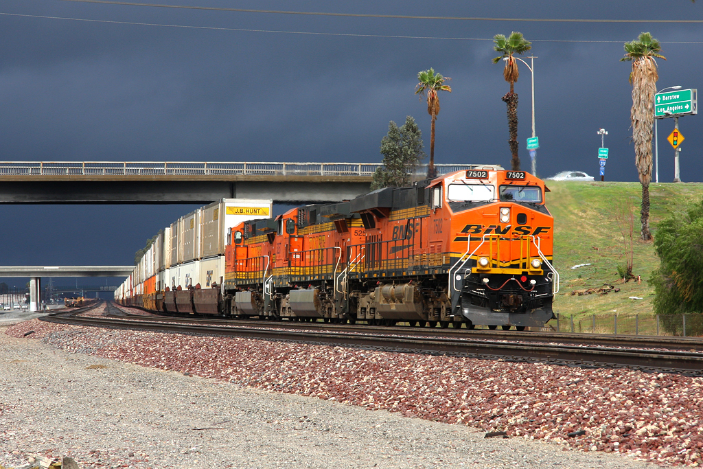
Westbound Intermodal out of the Storm
"Just #go." #saturday #goodmorning #runningsprings

Snow at Lake Silverwood

#sanbernardinomountains #mountains #runningsprings #hwy18
Topographic Map of Chillon Dr, Twin Peaks, CA, USA
Find elevation by address:

Places near Chillon Dr, Twin Peaks, CA, USA:
656 Chateau Dr
25152 Boa Dr
791 Chateau Dr
25112 Boa Dr
801 Arosa Dr
631 Acacia Dr
983 Chateau Dr
565 Acacia Dr
758 Arosa Dr
1076 Calanda Dr
Basel Drive
Basel Drive
Boaz Road
24924 Saxon Dr
24902 Matterhorn Ct
Arth Drive
420 Dunant Dr
24873 Basel Dr
374 Dunant Dr
672 Arth Dr
Recent Searches:
- Elevation of Corso Fratelli Cairoli, 35, Macerata MC, Italy
- Elevation of Tallevast Rd, Sarasota, FL, USA
- Elevation of 4th St E, Sonoma, CA, USA
- Elevation of Black Hollow Rd, Pennsdale, PA, USA
- Elevation of Oakland Ave, Williamsport, PA, USA
- Elevation of Pedrógão Grande, Portugal
- Elevation of Klee Dr, Martinsburg, WV, USA
- Elevation of Via Roma, Pieranica CR, Italy
- Elevation of Tavkvetili Mountain, Georgia
- Elevation of Hartfords Bluff Cir, Mt Pleasant, SC, USA