Elevation of Twin Peaks, CA, USA
Location: United States > California > San Bernardino County >
Longitude: -117.23580
Latitude: 34.2384241
Elevation: 1741m / 5712feet
Barometric Pressure: 82KPa
Elevation Map:
Satellite Map:
Related Photos:

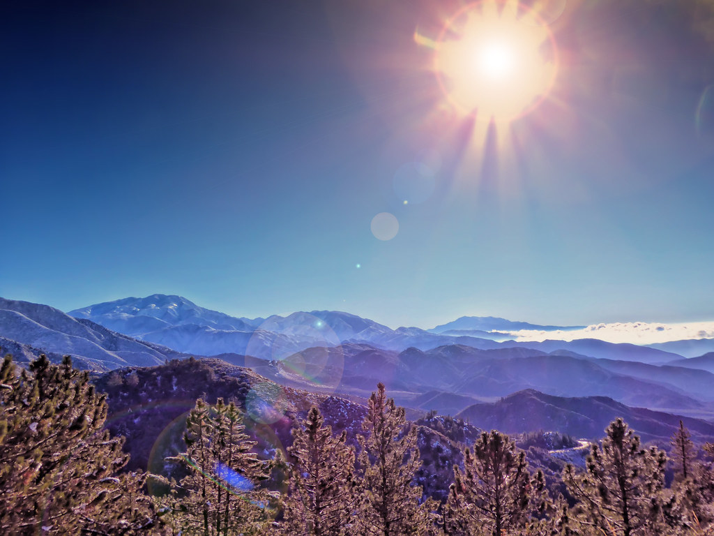
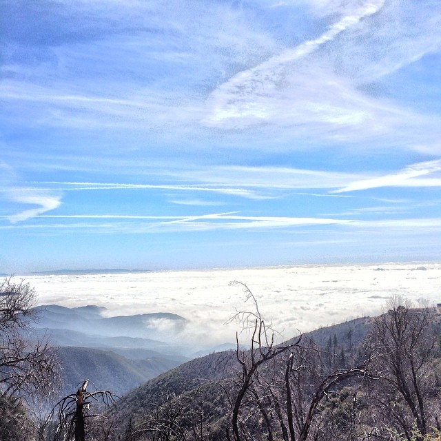
Islands in the Mist
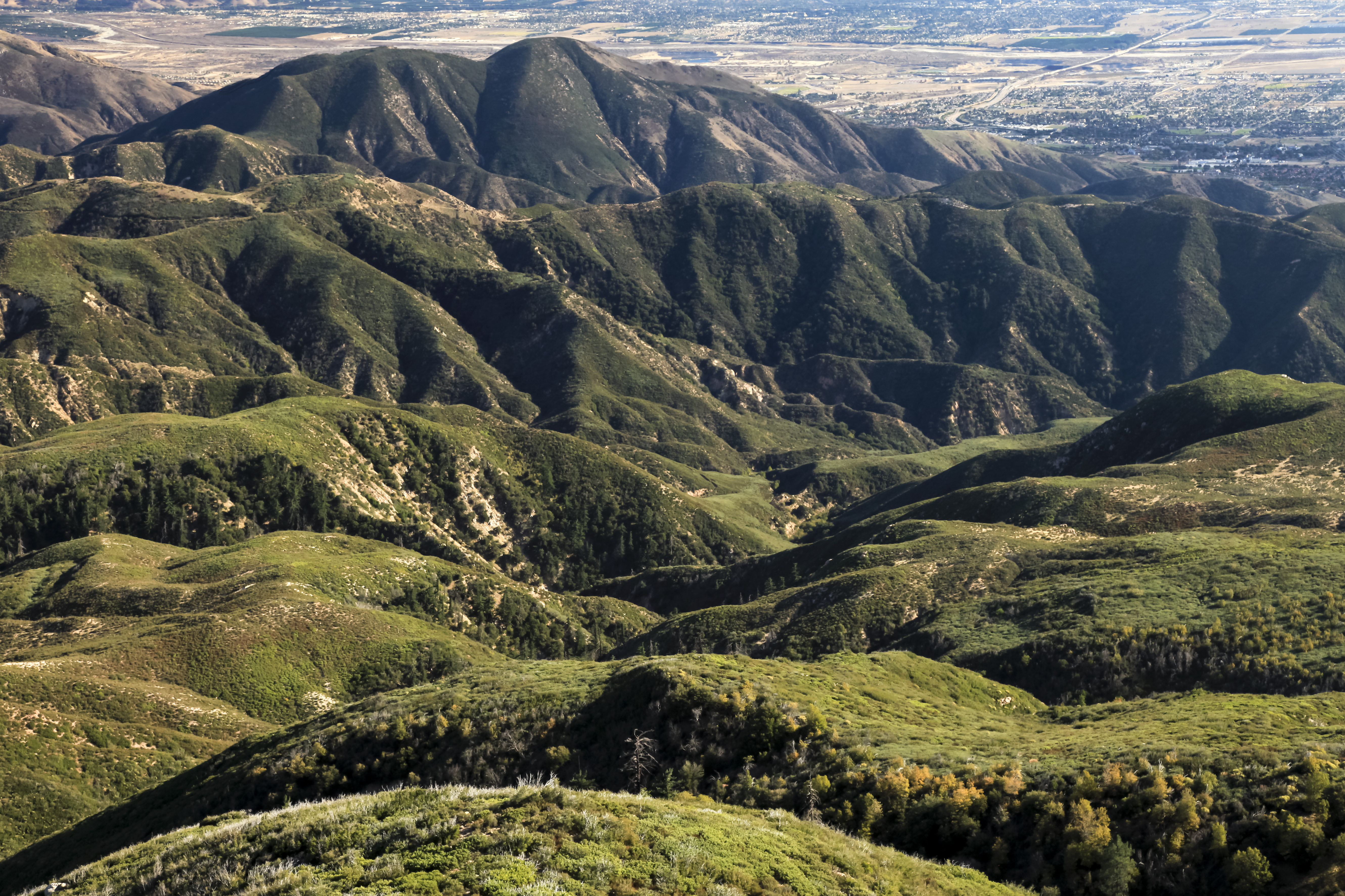
San Bernardino Mountains
South from Marie Louise
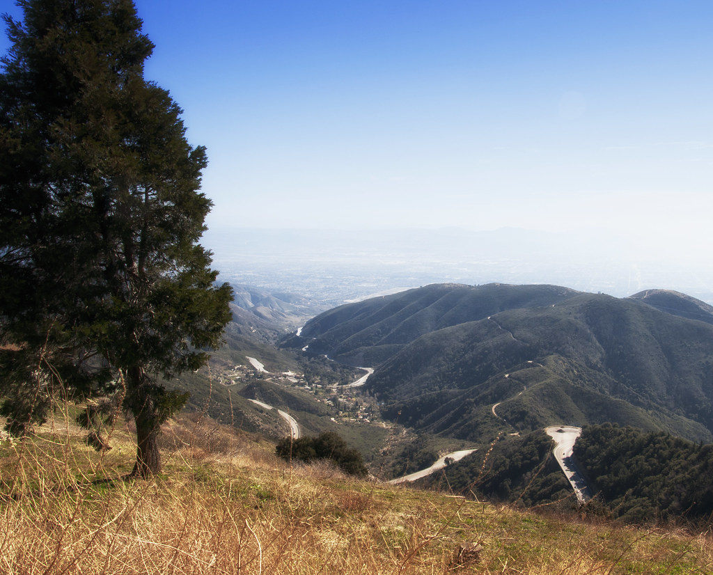
View from the road to Big Bear
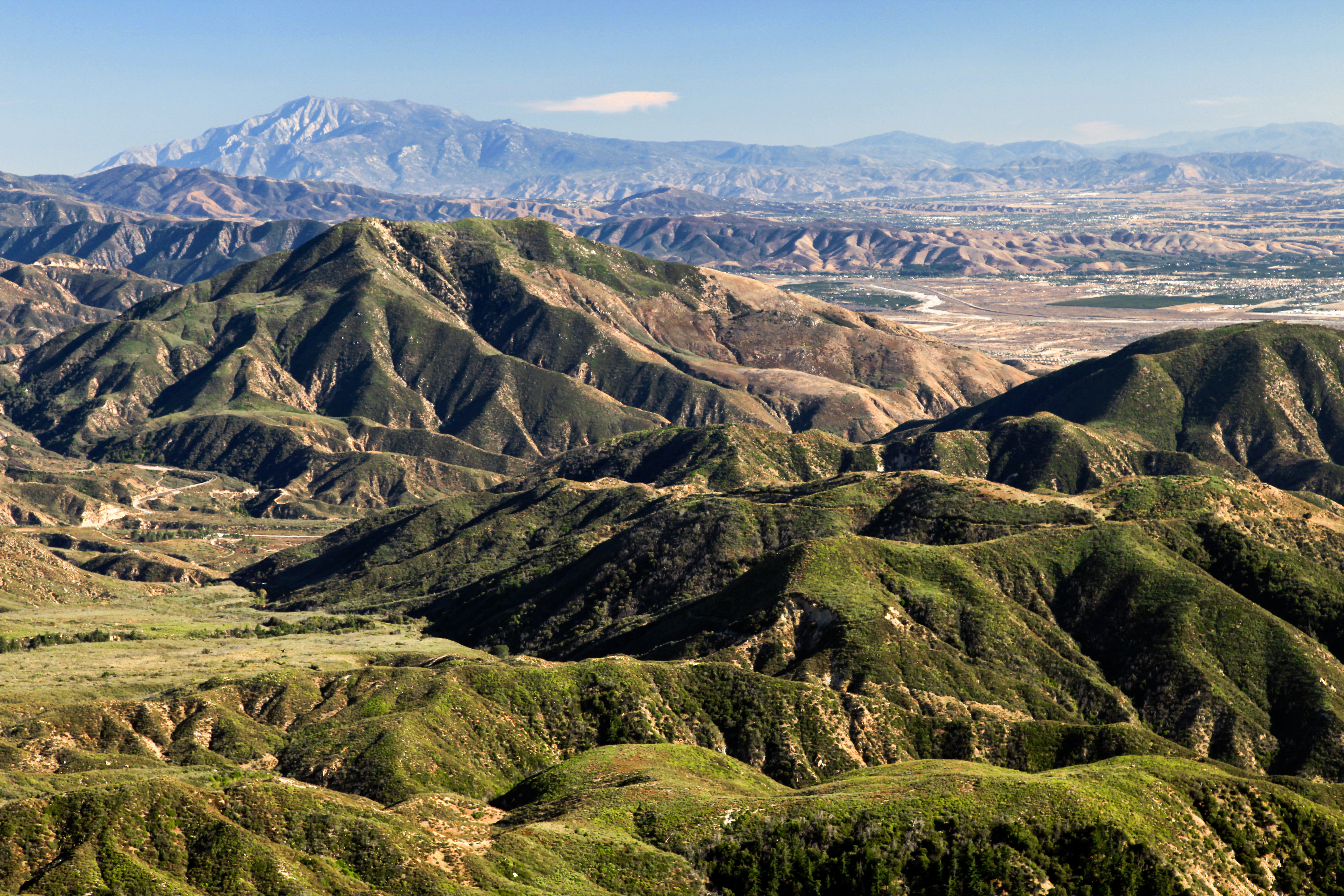
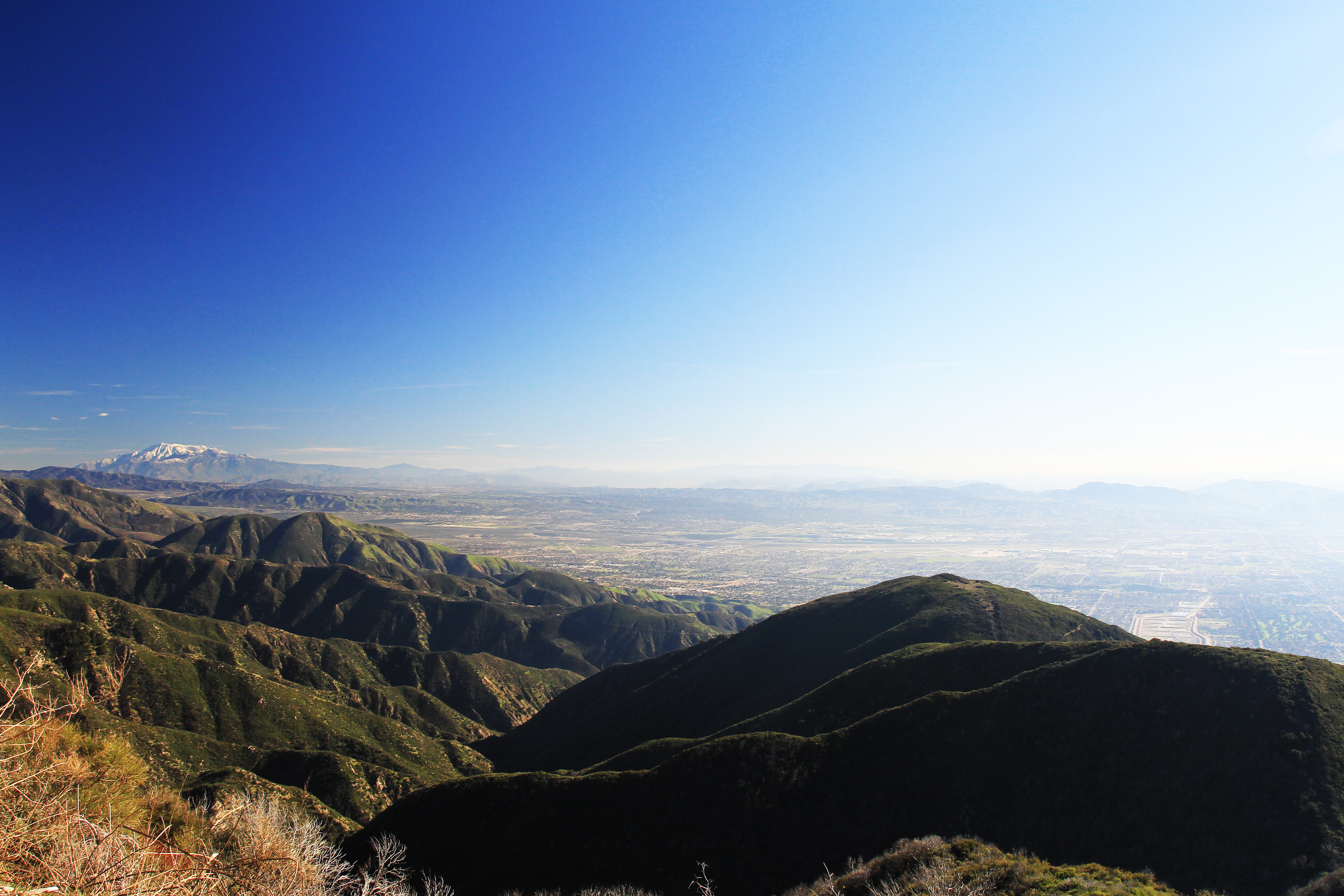
View from San Bernardino Mountains of the Valley and Catalina Island, California
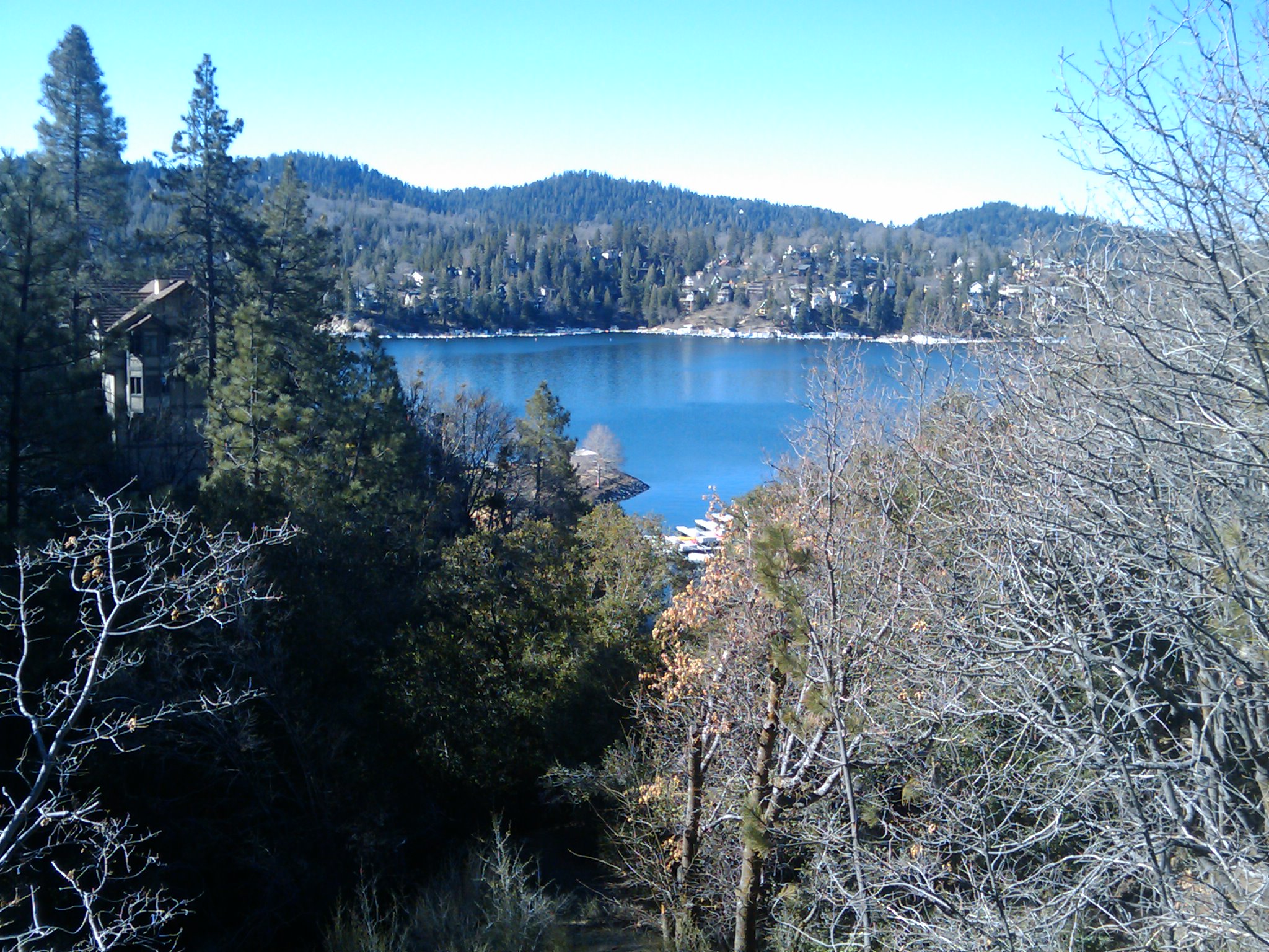
view from the cabine at lake arrowhead

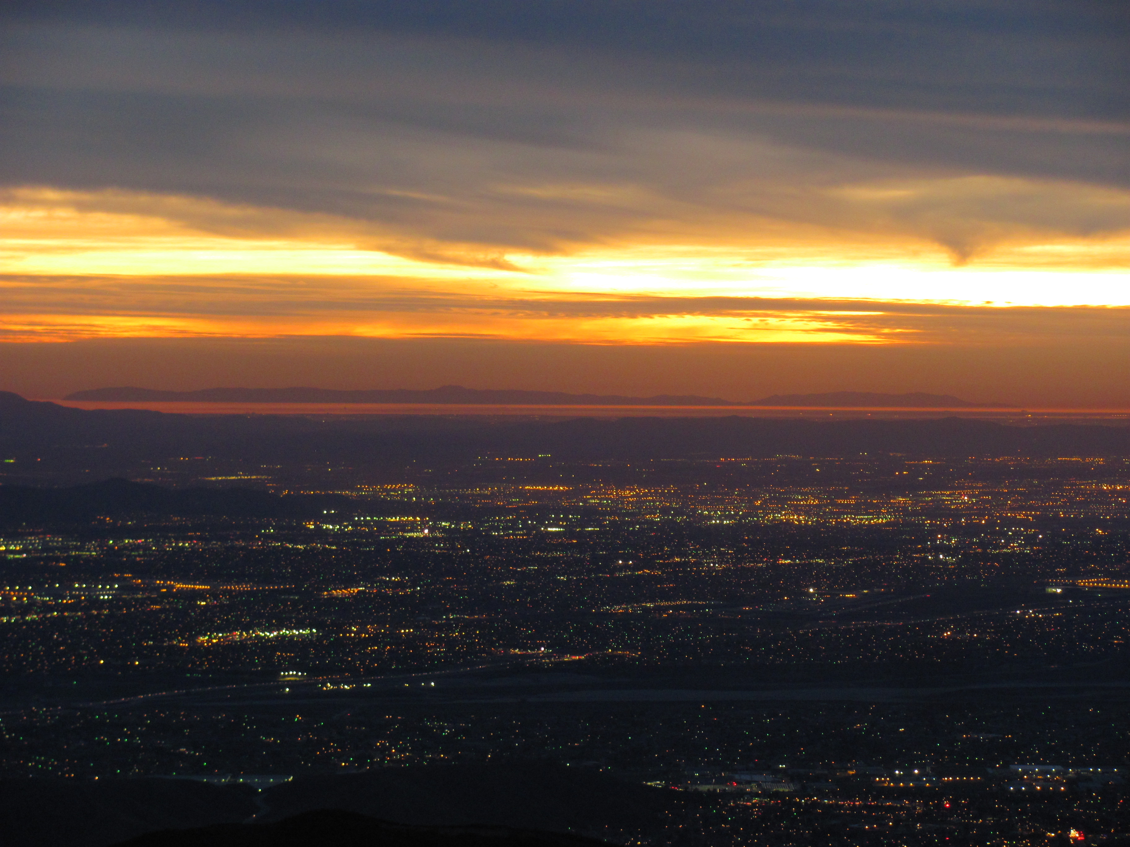
Nighttime over the Inland Empire
A View of the Mountain Road in Crestline, California
Green Topographic

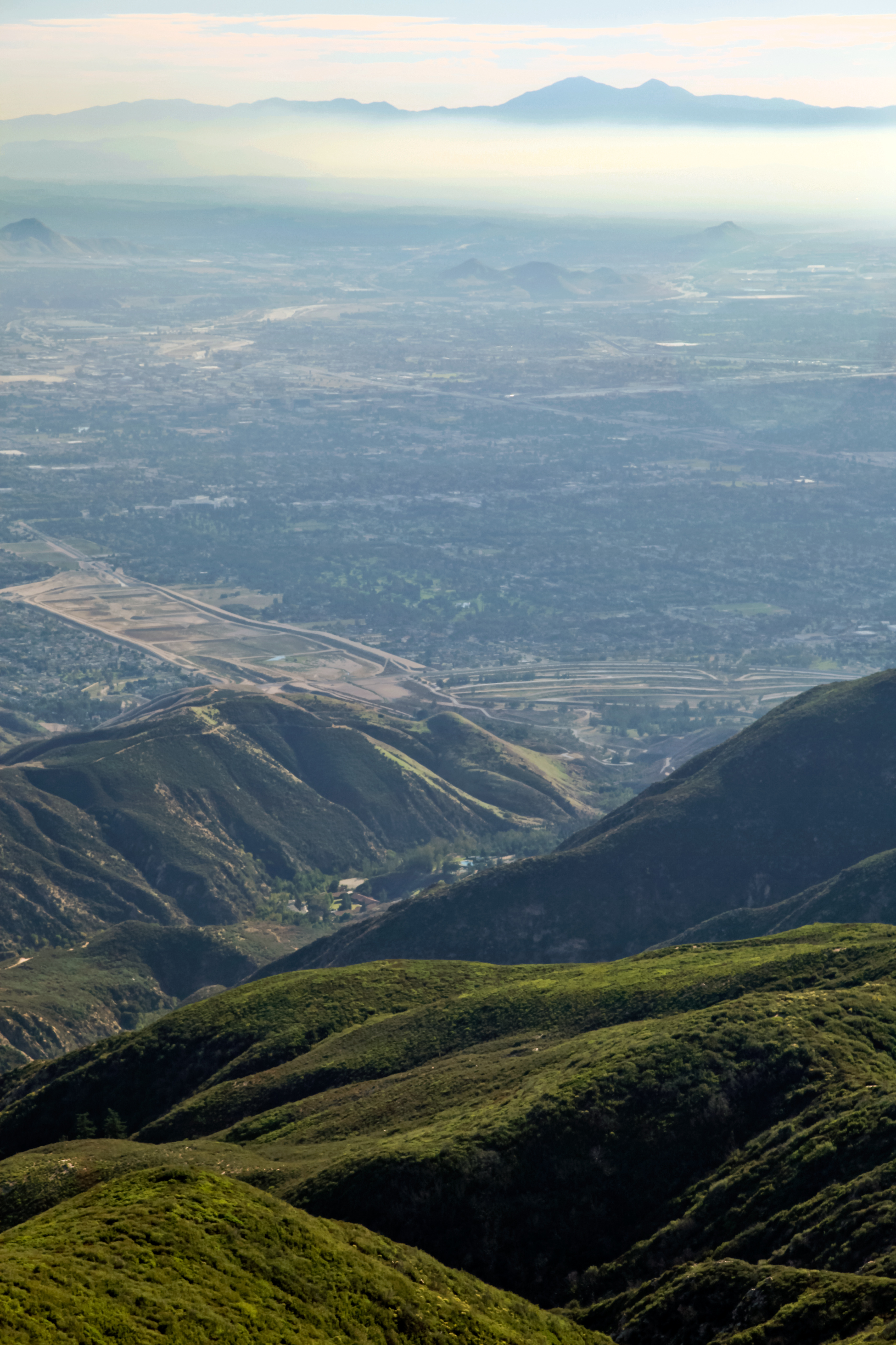
Sunset over the LA Basin
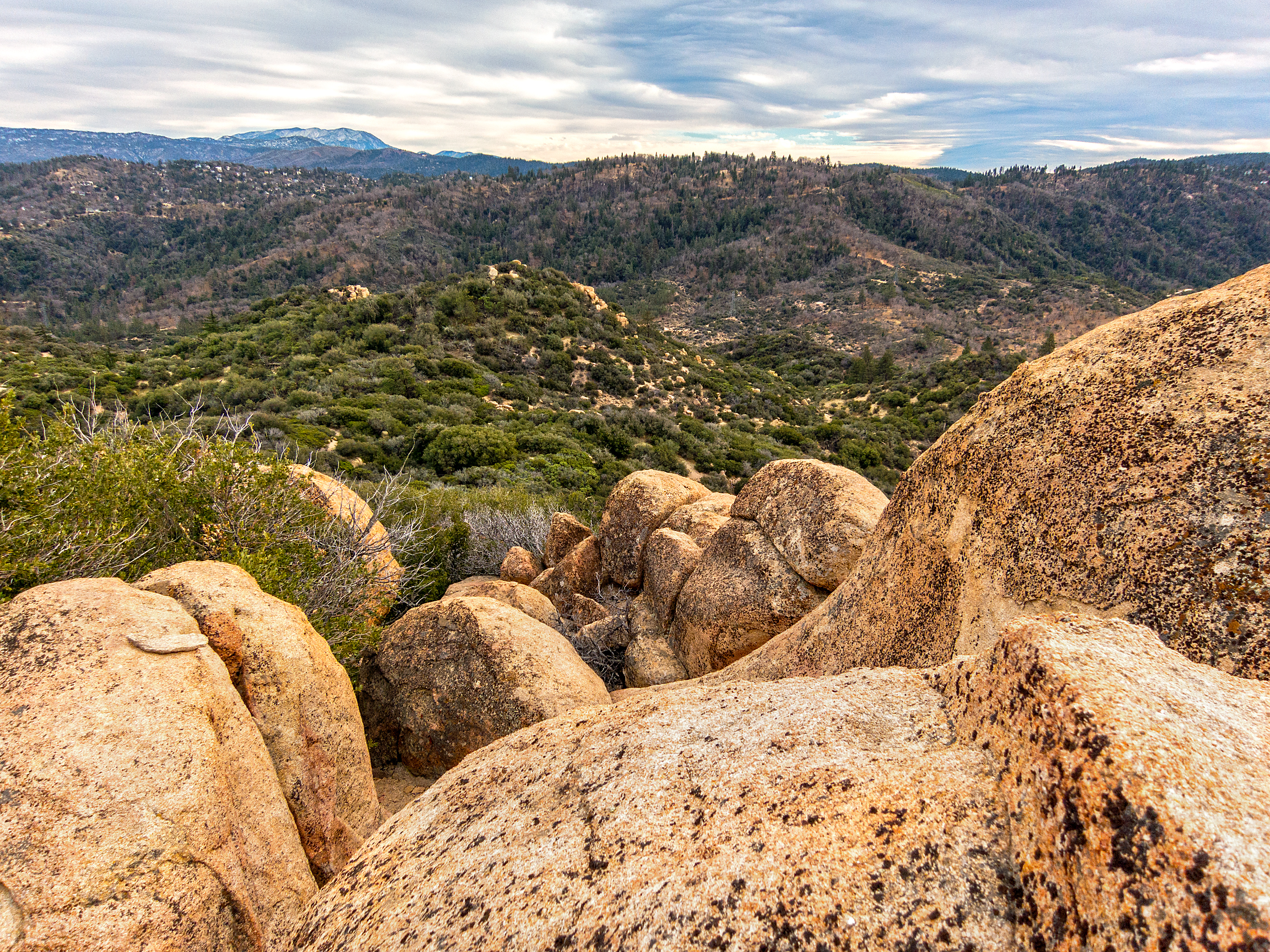
Crumbled Landscape
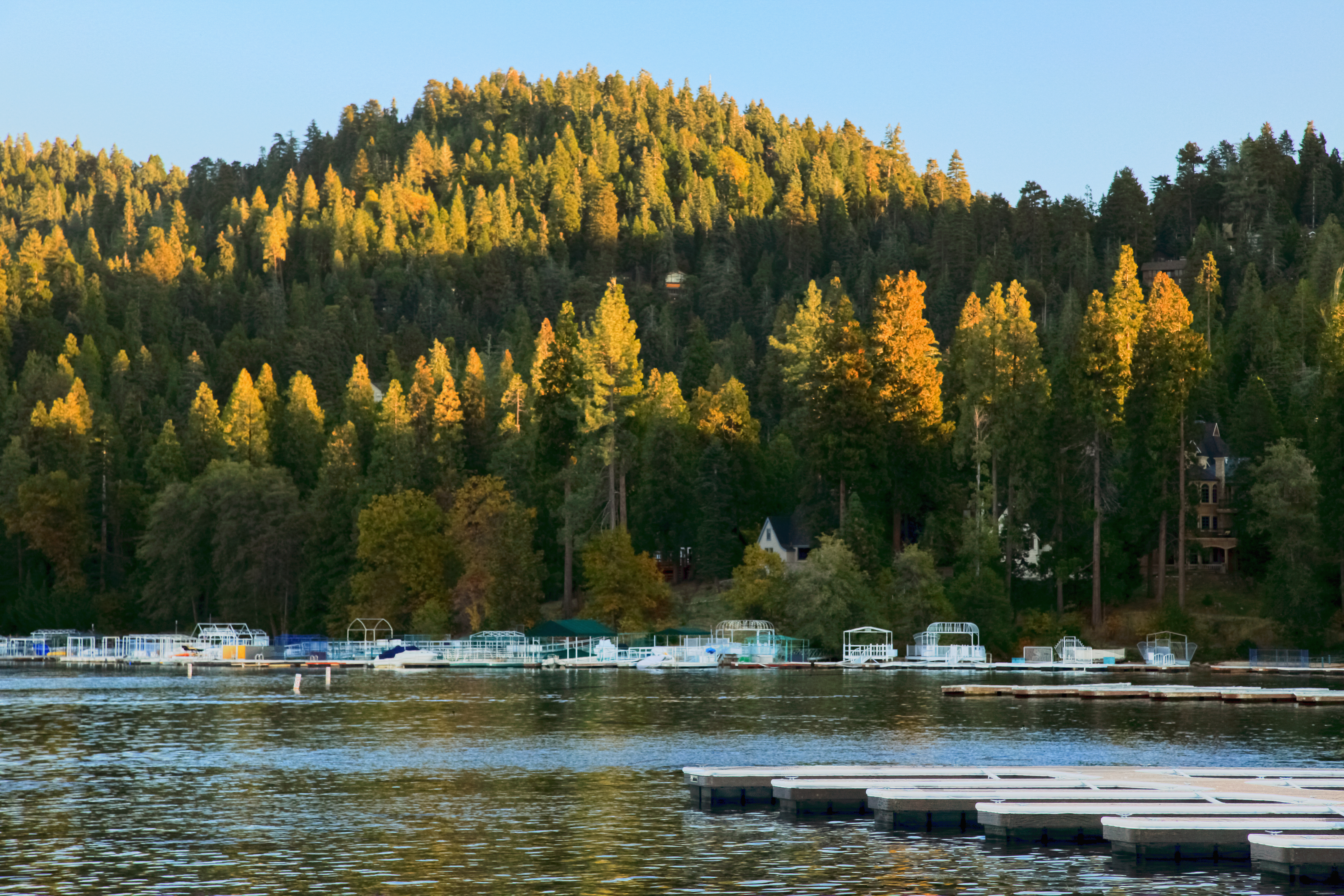
Last Light, Lake Arrowhead

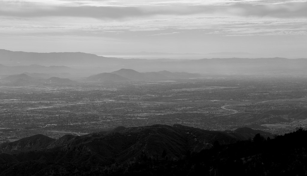
Nighttime, LA Basin
Chaparral Carpet
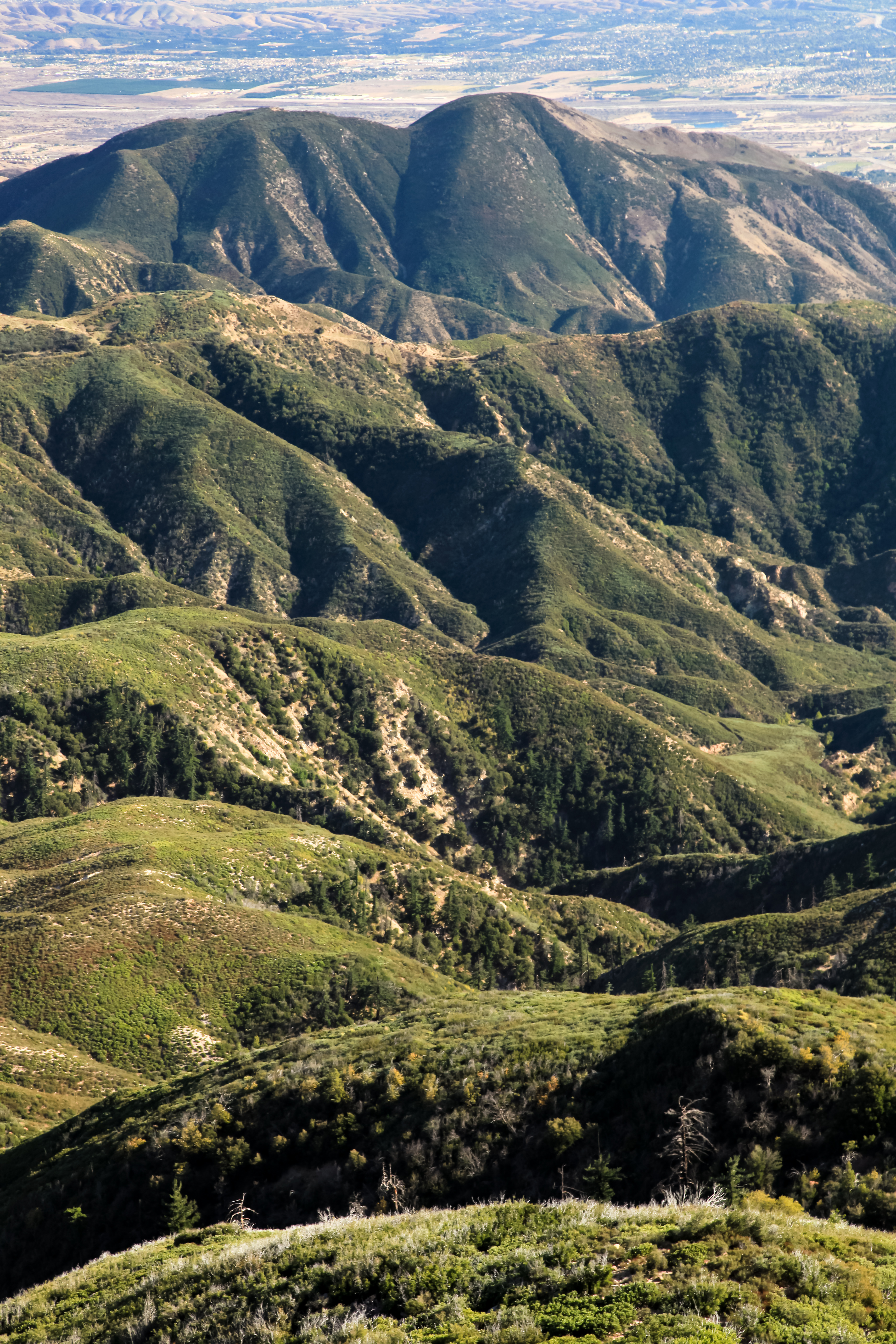
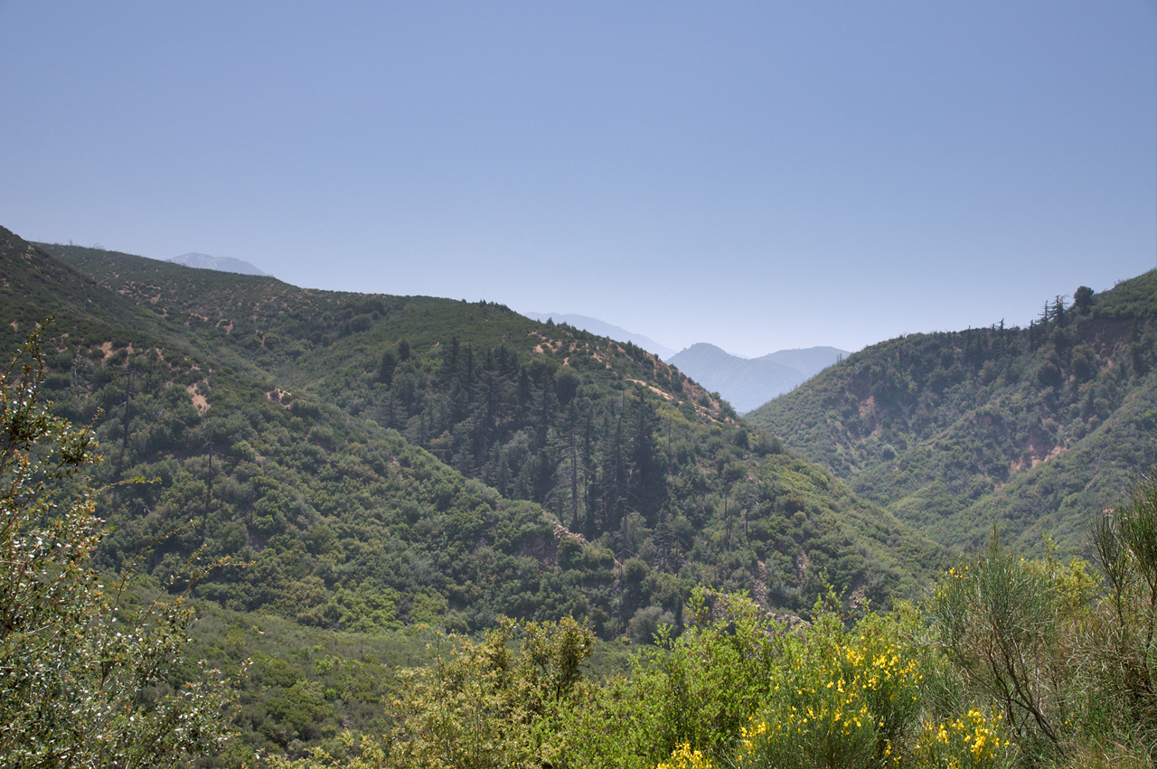
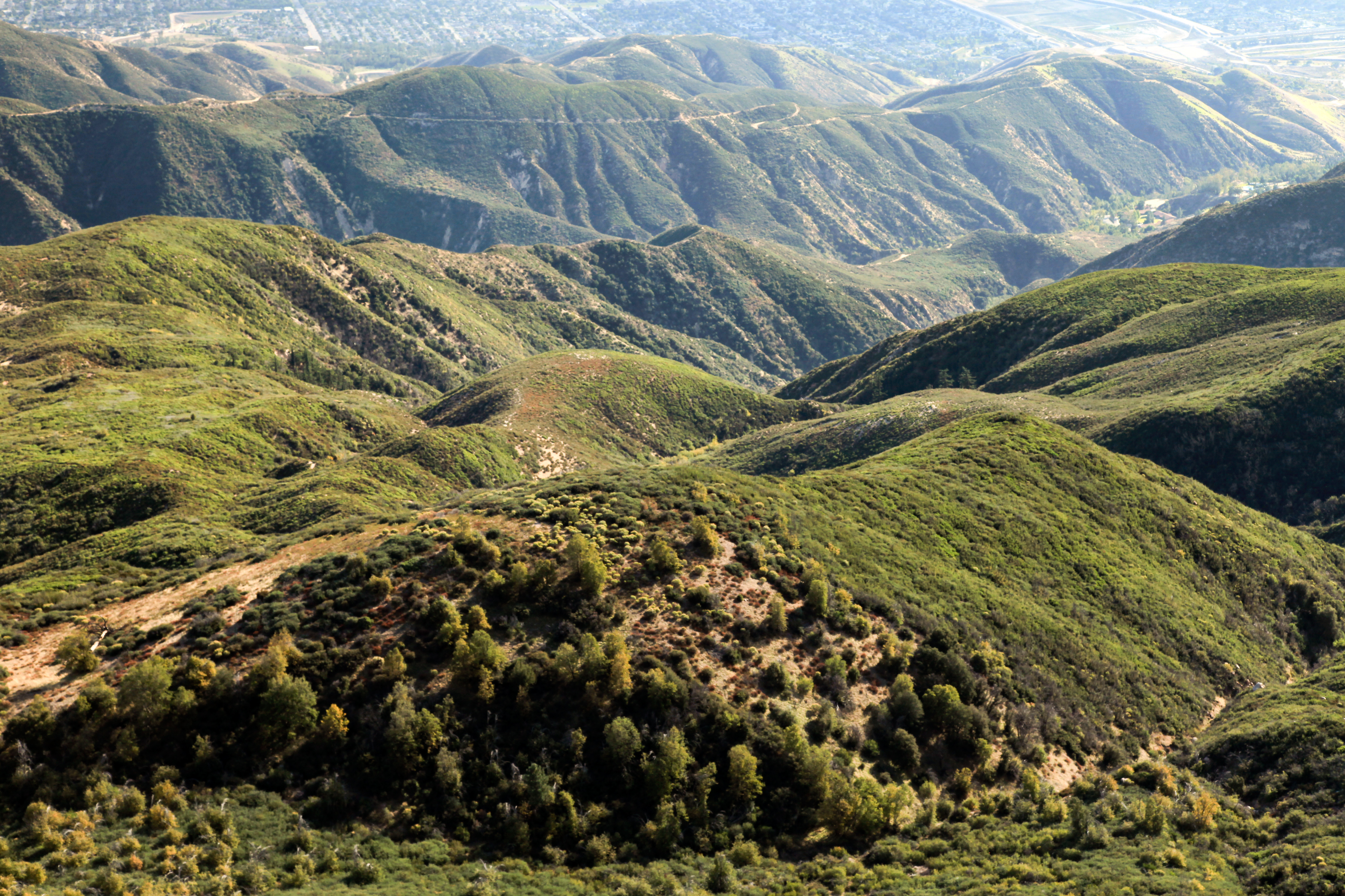
Ridges and Valleys
Old Saddleback from Highway 18
Rim of the World

View from the Rim of the World Highway
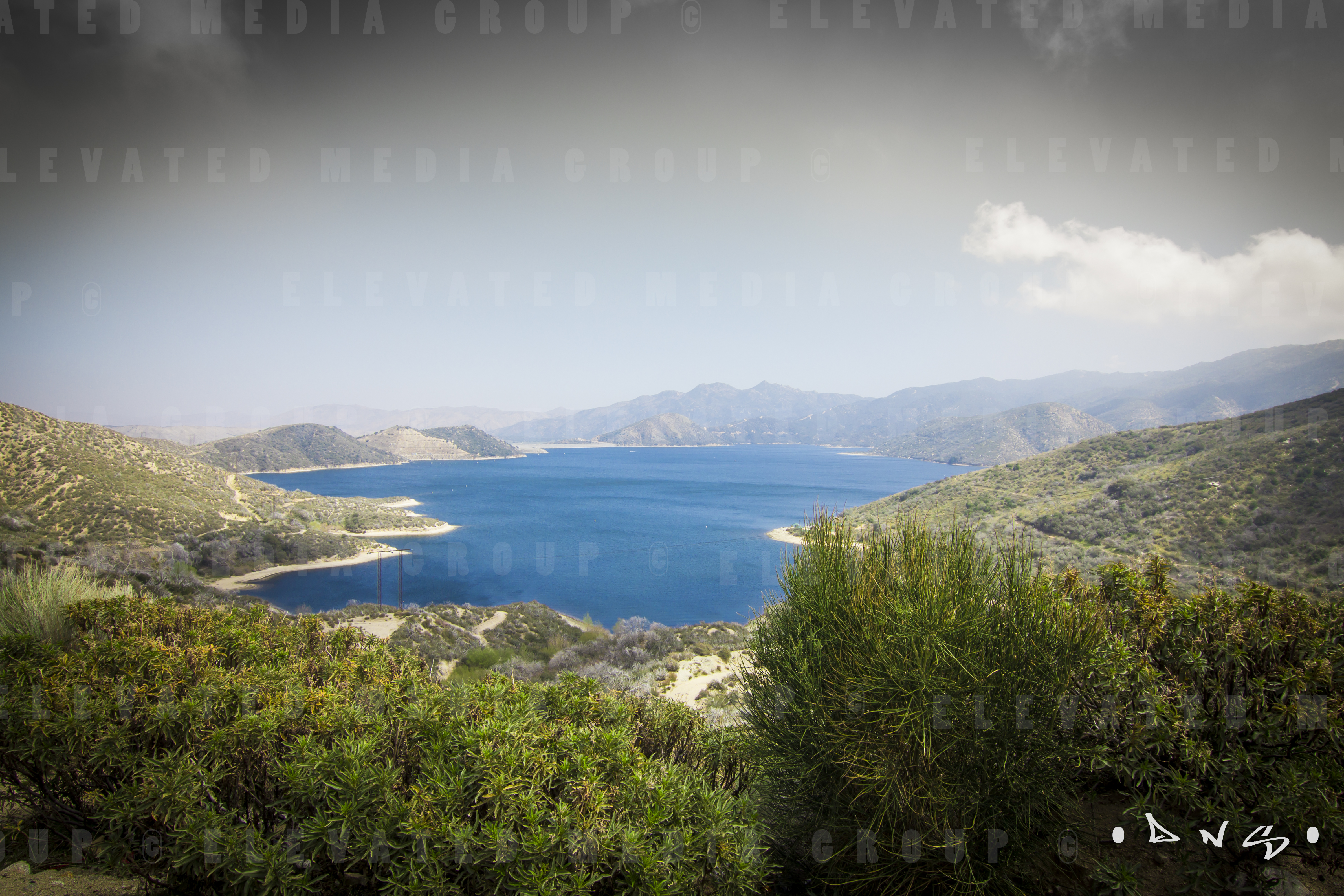
LAKE VIEW
#view from the #top #mothernature
Sunset from Rimforest Jan 22 2013
Topographic Map of Twin Peaks, CA, USA
Find elevation by address:

Places near Twin Peaks, CA, USA:
882 Balsam Ln
547 Rose Ln
26174 Boulder Ln
26174 Boulder Ln
416 Cedarbrook Dr
26325 Forest Ln
372 Cedarbrook Dr
26466 Alpine Ln
26503 Fernrock Rd
664 Maxson Dr
197 Grandview Rd
415 Club House Dr
26619 Thunderbird Dr
272 Fairway Dr
Herrick Kevin Md
180 Brentwood Dr
366 Annandale Dr
26880 Huron Rd
26900 Everest Rd
Huron Road
Recent Searches:
- Elevation of Corso Fratelli Cairoli, 35, Macerata MC, Italy
- Elevation of Tallevast Rd, Sarasota, FL, USA
- Elevation of 4th St E, Sonoma, CA, USA
- Elevation of Black Hollow Rd, Pennsdale, PA, USA
- Elevation of Oakland Ave, Williamsport, PA, USA
- Elevation of Pedrógão Grande, Portugal
- Elevation of Klee Dr, Martinsburg, WV, USA
- Elevation of Via Roma, Pieranica CR, Italy
- Elevation of Tavkvetili Mountain, Georgia
- Elevation of Hartfords Bluff Cir, Mt Pleasant, SC, USA