Elevation of Rose Ln, Twin Peaks, CA, USA
Location: United States > California > San Bernardino County > Twin Peaks >
Longitude: -117.23084
Latitude: 34.2414635
Elevation: 1719m / 5640feet
Barometric Pressure: 82KPa
Elevation Map:
Satellite Map:
Related Photos:

A Face Only UP Could Love

Islands in the Mist

prcssd. combat camera. san bernardino, ca. 2011.

Queen's Fine Food

Thanksgiving Sunset HDR

Overlooking the Inland Empire

South from Marie Louise
Green Topographic

May your day be blessed and full of strippers and burritos or pizza Birds ???? eye ???? view #330

View from a chairlift

Above the Clouds

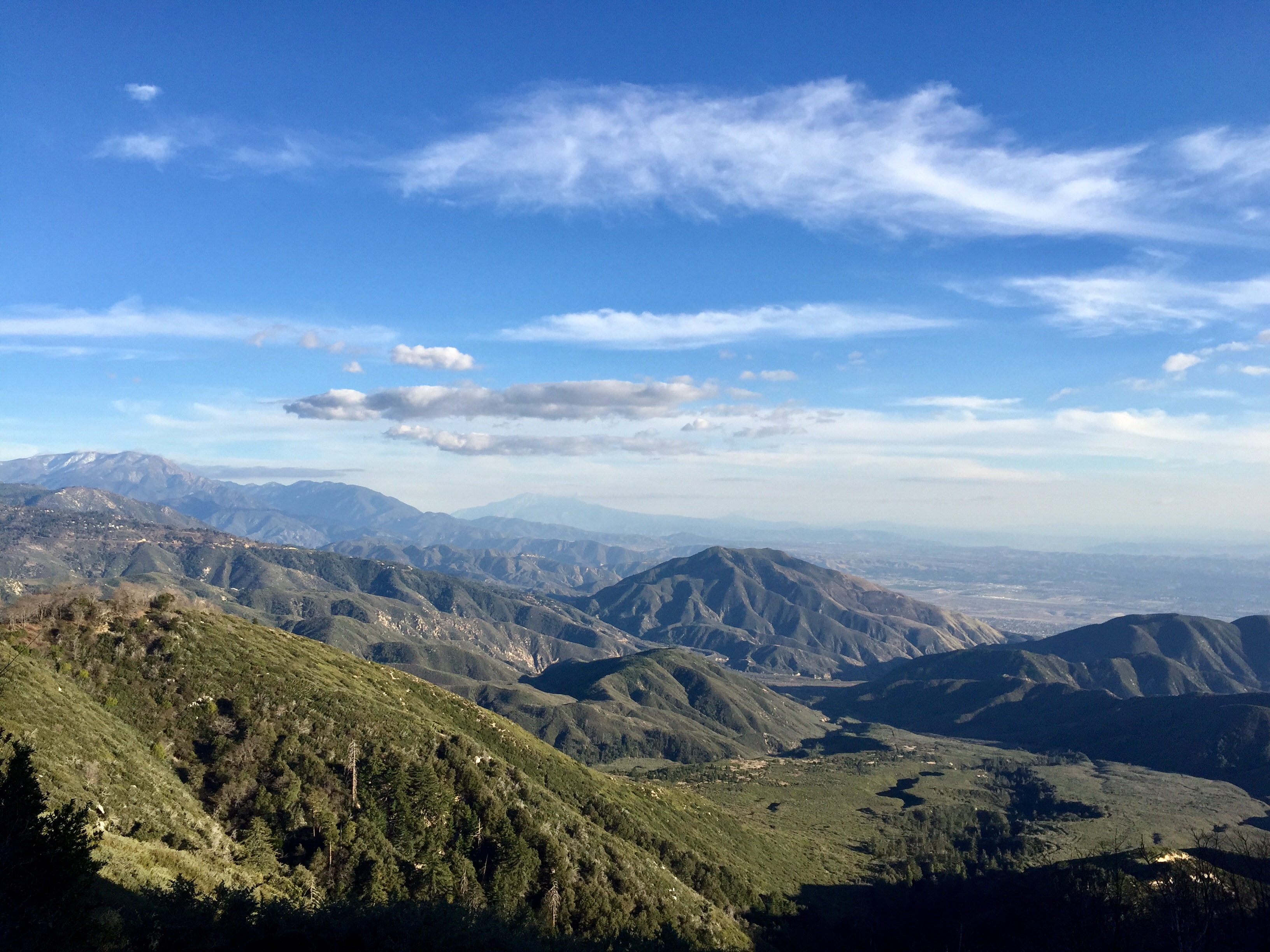
The IE from the Mountains Above
View From Work

Blue-throated Hummingbird

air combat camera service. san bernardino, ca. 2011.
Arrowhead lake
village cove homes
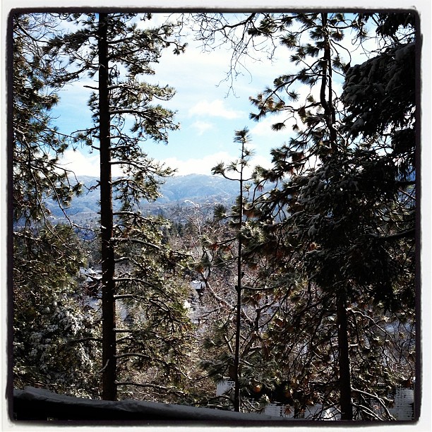
Morning #view #snow
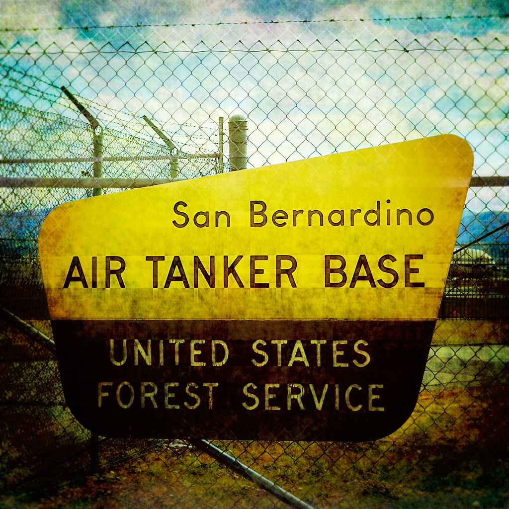
prcssd. air tanker base. san bernardino, ca. 2011.

Nighttime over the Inland Empire
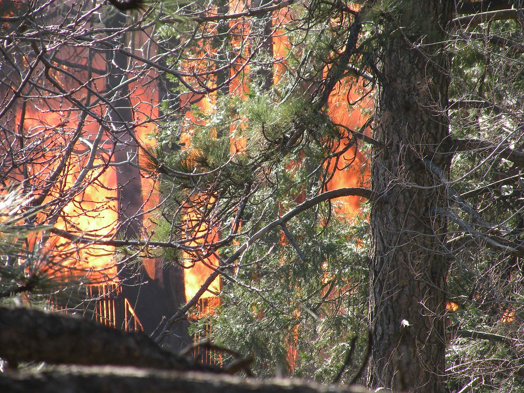
House Fire
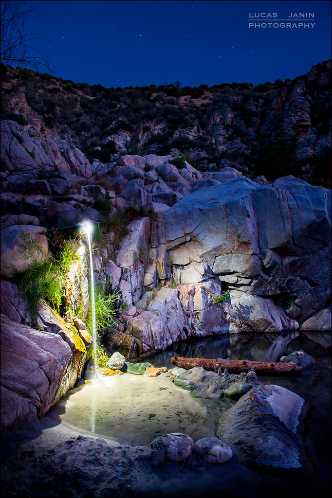
Waterfall of Light
Desert trip
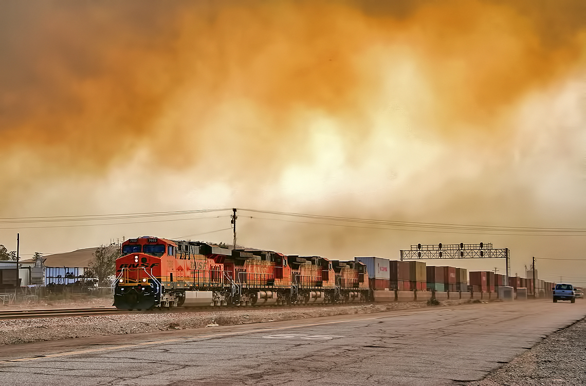
Read the link. BNSF Train under the Old Fire smoke

#sanbernardinomountains #mountains #runningsprings #hwy18

Rim of the World Highway

Mountain Creek

Sunset at Rim of the World
Fire on the Water

Above it all

Orange Saddleback
New Hoppers Going Away
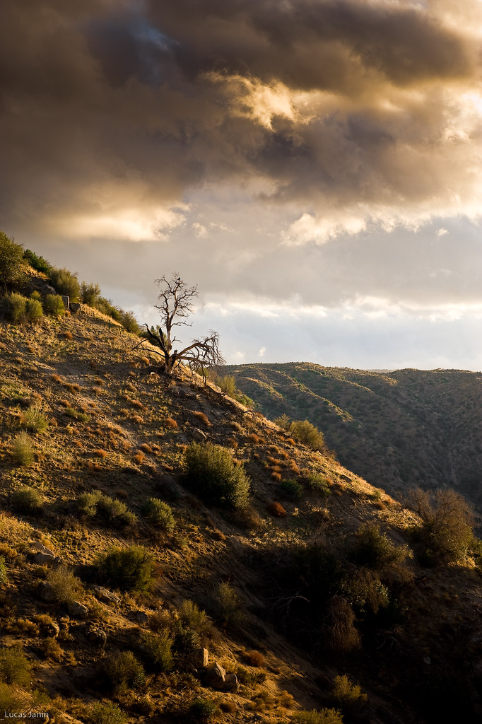
The dead tree
I never thought I would outlive the trees

110-365 Fishing Reconnaissance
On the Rim of the World

All that Remains [Explored]

Patriots Jet Team
3.12.11 - Big Bear
Topographic Map of Rose Ln, Twin Peaks, CA, USA
Find elevation by address:

Places near Rose Ln, Twin Peaks, CA, USA:
26174 Boulder Ln
26174 Boulder Ln
26325 Forest Ln
882 Balsam Ln
26466 Alpine Ln
416 Cedarbrook Dr
664 Maxson Dr
Twin Peaks
372 Cedarbrook Dr
415 Club House Dr
26503 Fernrock Rd
197 Grandview Rd
26619 Thunderbird Dr
272 Fairway Dr
Herrick Kevin Md
180 Brentwood Dr
366 Annandale Dr
26880 Huron Rd
26900 Everest Rd
Huron Road
Recent Searches:
- Elevation of W Granada St, Tampa, FL, USA
- Elevation of Pykes Down, Ivybridge PL21 0BY, UK
- Elevation of Jalan Senandin, Lutong, Miri, Sarawak, Malaysia
- Elevation of Bilohirs'k
- Elevation of 30 Oak Lawn Dr, Barkhamsted, CT, USA
- Elevation of Luther Road, Luther Rd, Auburn, CA, USA
- Elevation of Unnamed Road, Respublika Severnaya Osetiya — Alaniya, Russia
- Elevation of Verkhny Fiagdon, North Ossetia–Alania Republic, Russia
- Elevation of F. Viola Hiway, San Rafael, Bulacan, Philippines
- Elevation of Herbage Dr, Gulfport, MS, USA