Elevation of Alpine Ln, Twin Peaks, CA, USA
Location: United States > California > San Bernardino County > Twin Peaks >
Longitude: -117.22588
Latitude: 34.241318
Elevation: 1711m / 5614feet
Barometric Pressure: 82KPa
Elevation Map:
Satellite Map:
Related Photos:

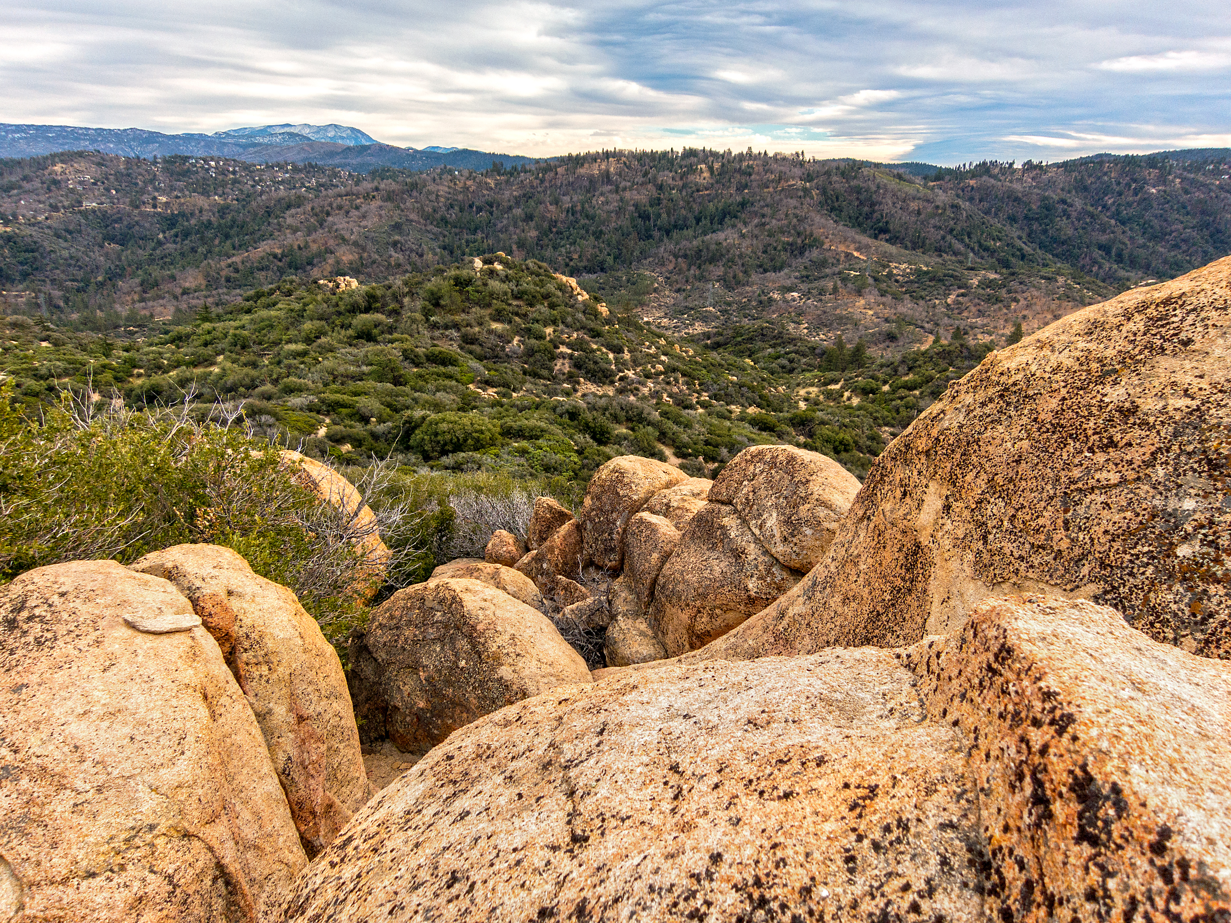
A Face Only UP Could Love

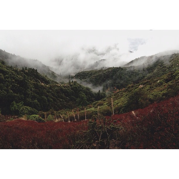
A Mixture of Fog and Clouds

prcssd. combat camera. san bernardino, ca. 2011.
South from Marie Louise

Queen's Fine Food

El Cajon Motel

Above the Clouds

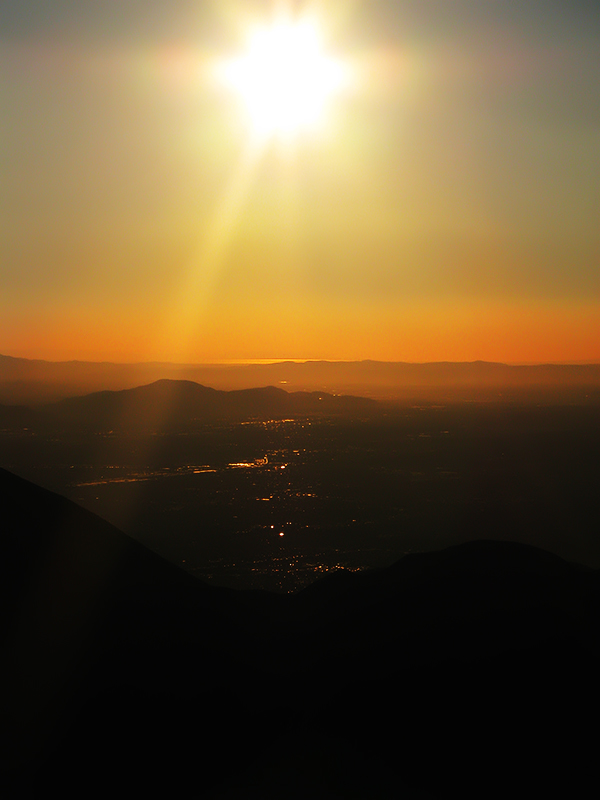
Thanksgiving Sunset HDR

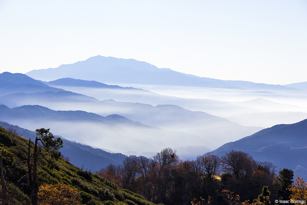
Islands in the Mist
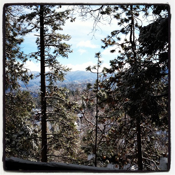
Morning #view #snow
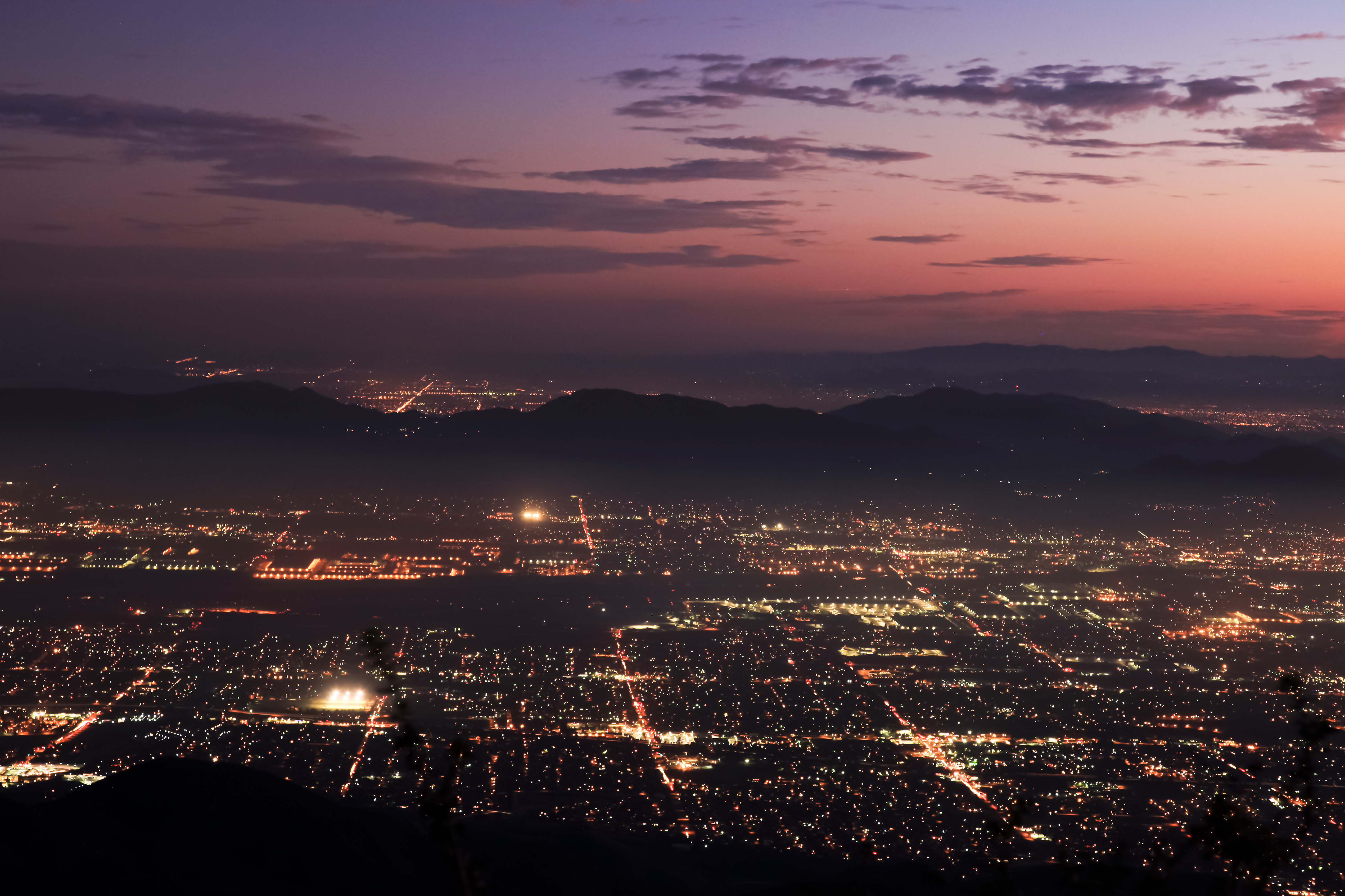
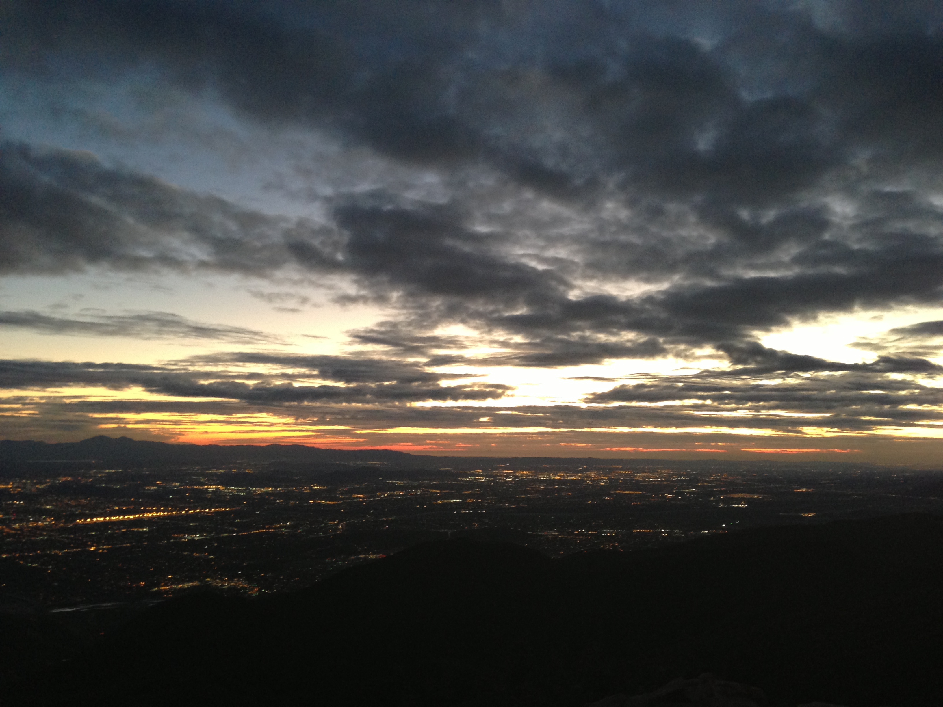
Nighttime over the Inland Empire
Green Topographic
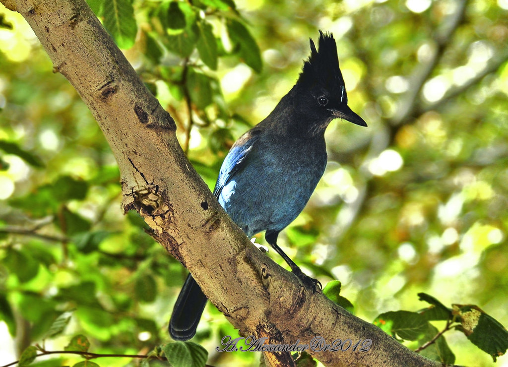
AXA_3660Style creek San Bernardino ca(Steller Jay)
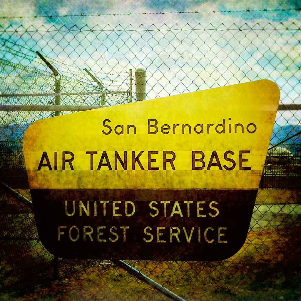
prcssd. air tanker base. san bernardino, ca. 2011.
The Distant Pacific
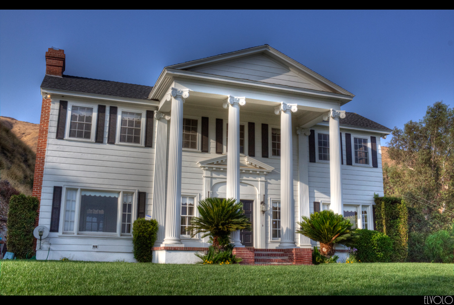
The White House (of San Bernardino)
Cal-3 024
1425 Panorama view of Deep Creek near PCT mile 312 - only two miles to the car
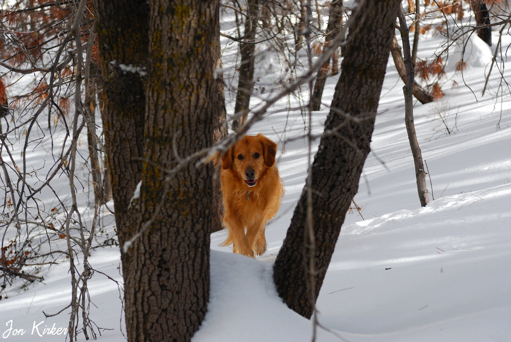
My Dog
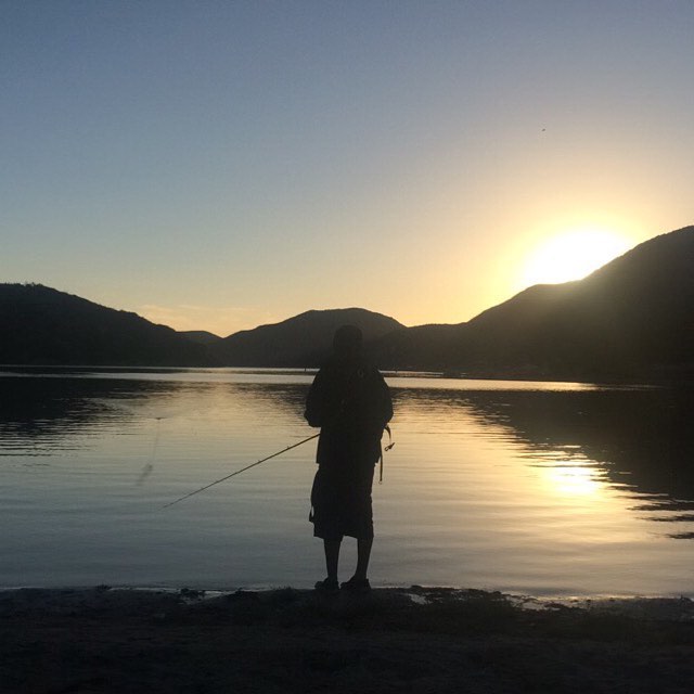
yesterday @bubbiefied and our friend Caleb and I went to Silverwood Lake, and the view of the sunrise was amazing. #nofilter
A View of the Mountain Road in Crestline, California

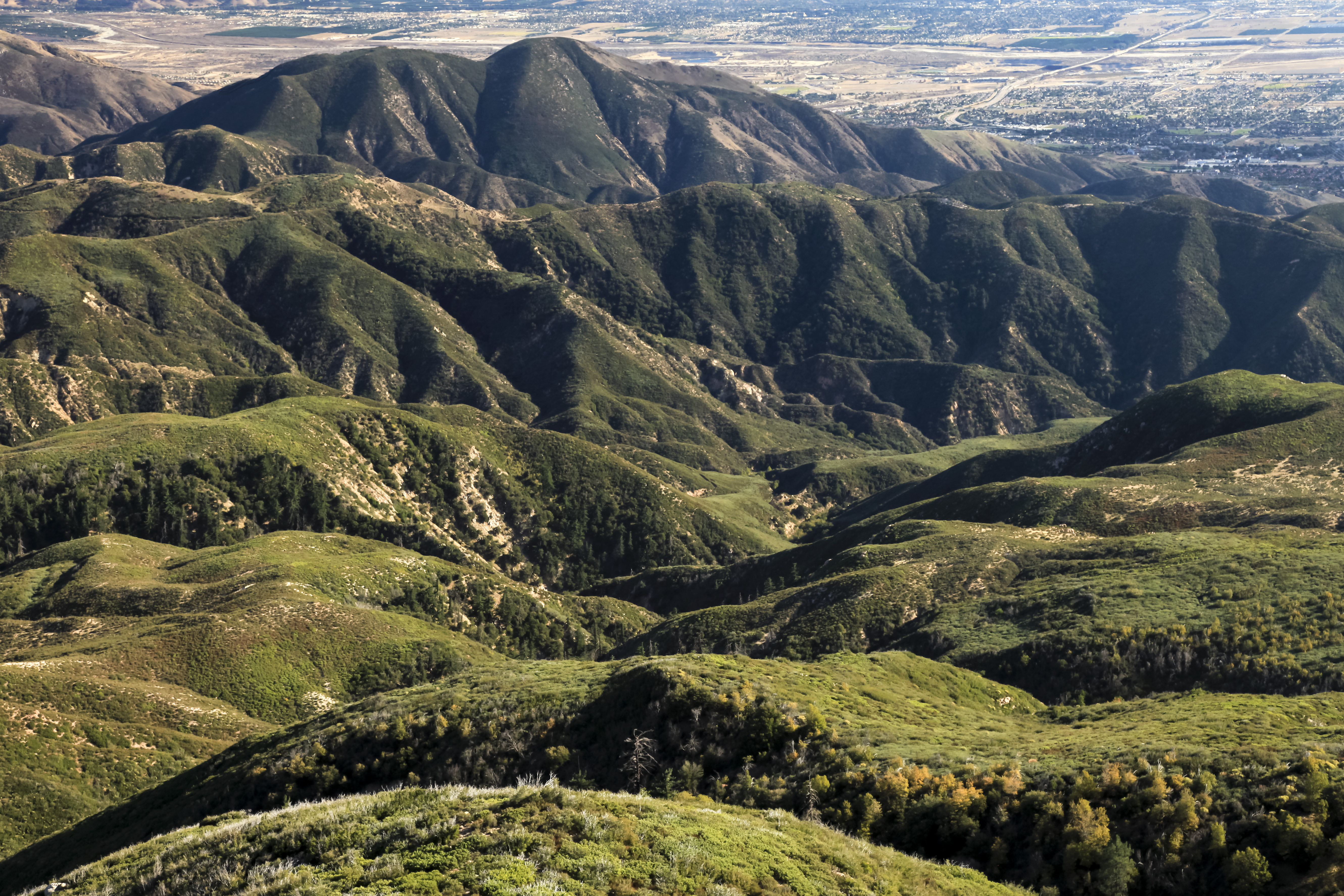
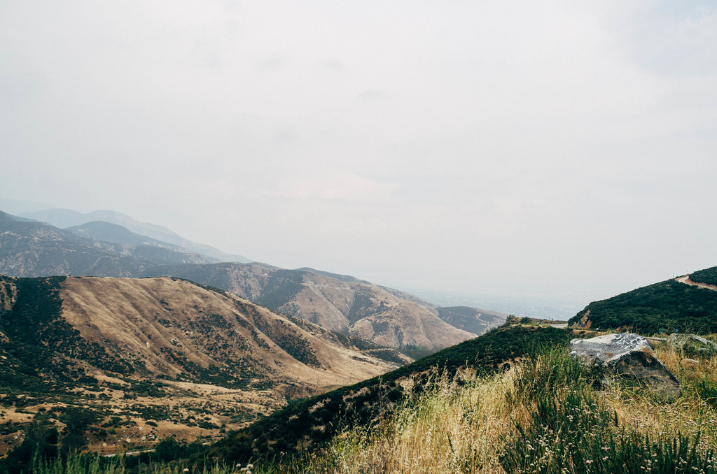
San Bernardino city and National Forest
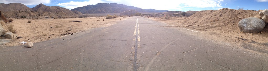
Deserted highway

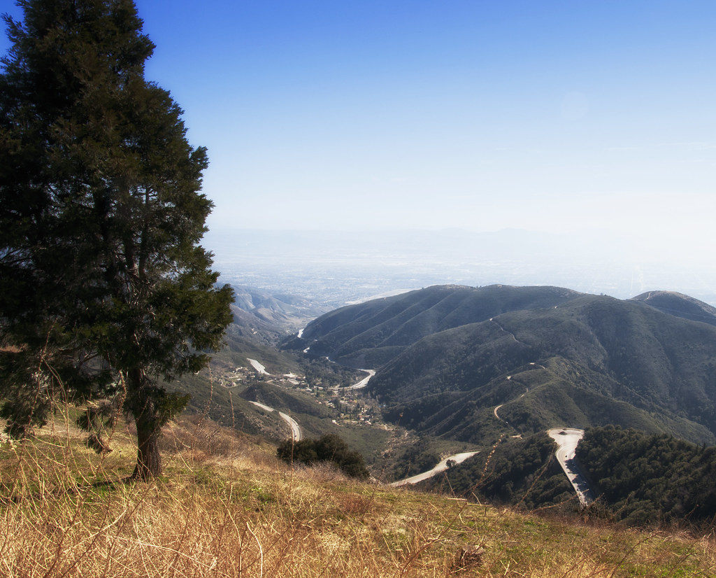
Above it all
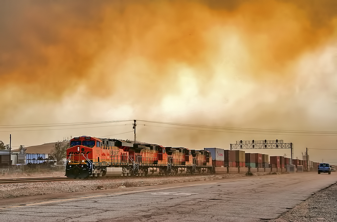
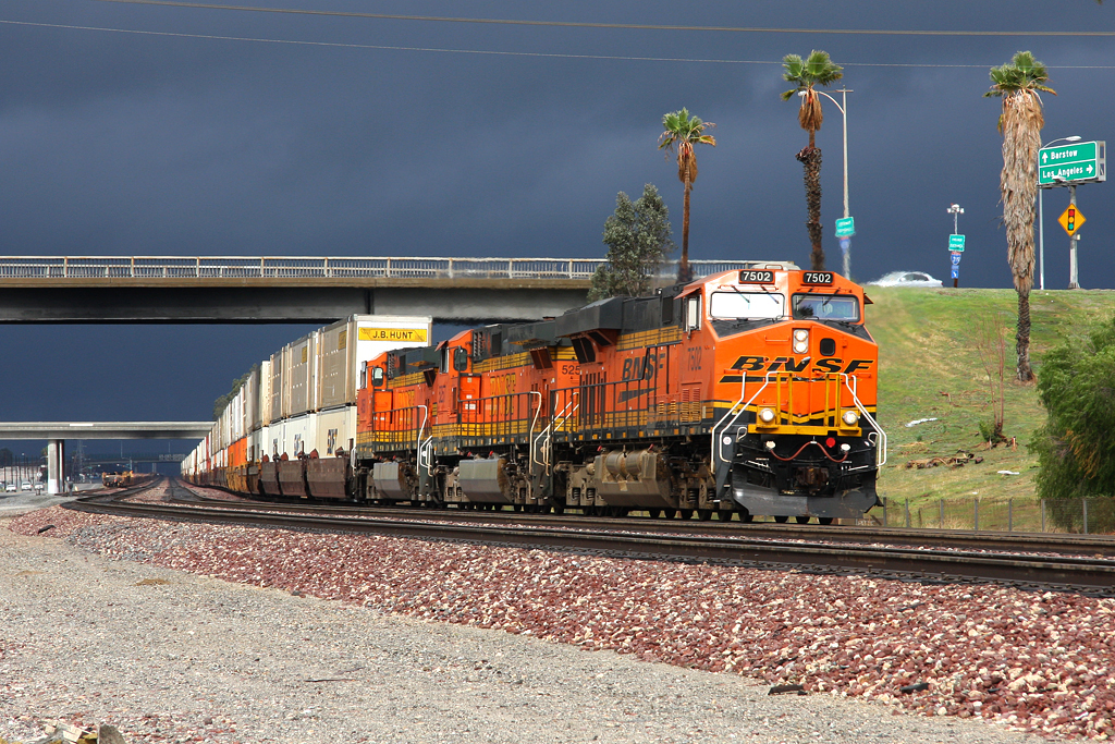
Read the link. BNSF Train under the Old Fire smoke
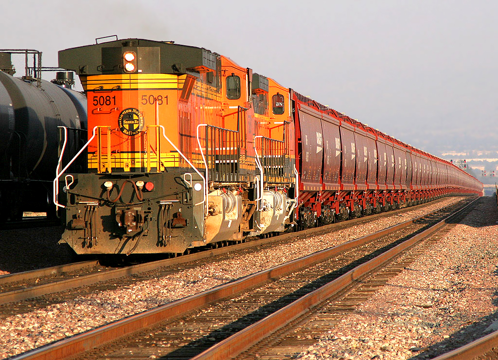
2004 Westbound MoW train in Verdemont, from my collection.
On the Rim of the World

Mountain Creek

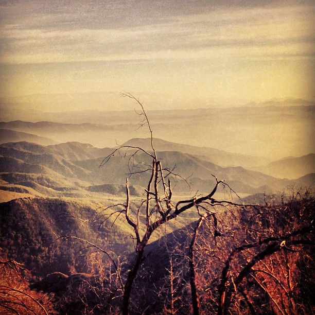
Dead But Still Living
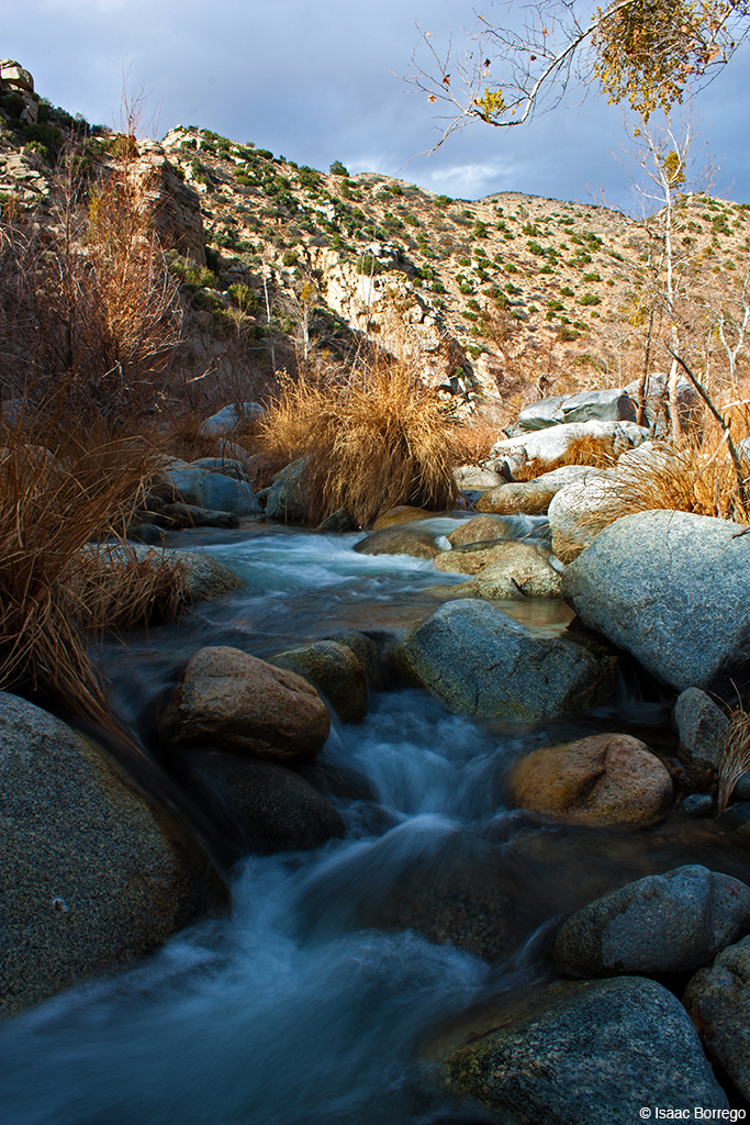
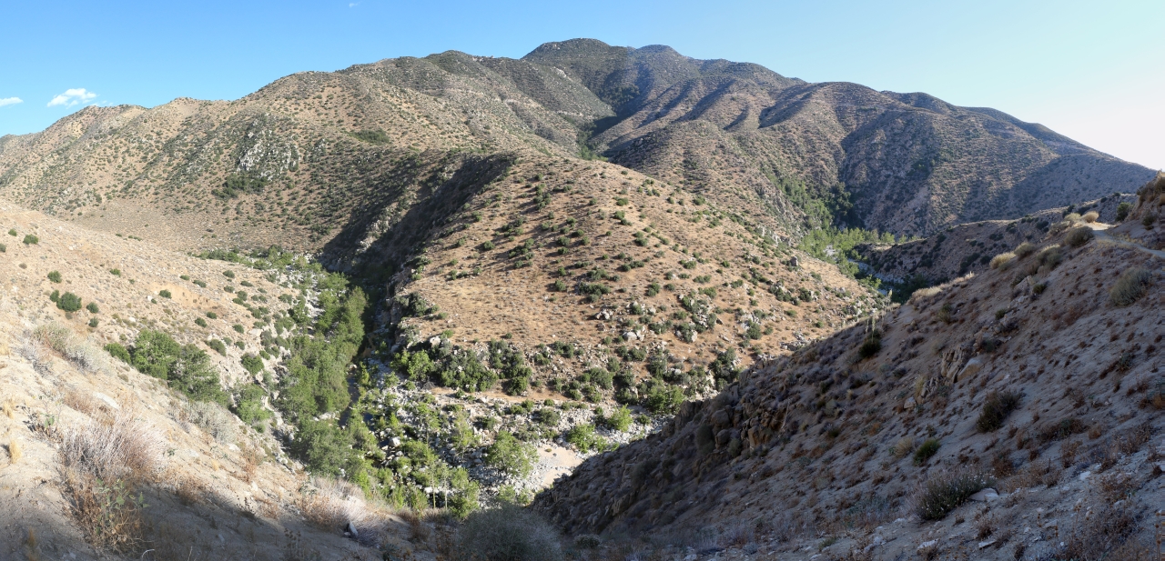
Deep Creek, California
2074 Vista
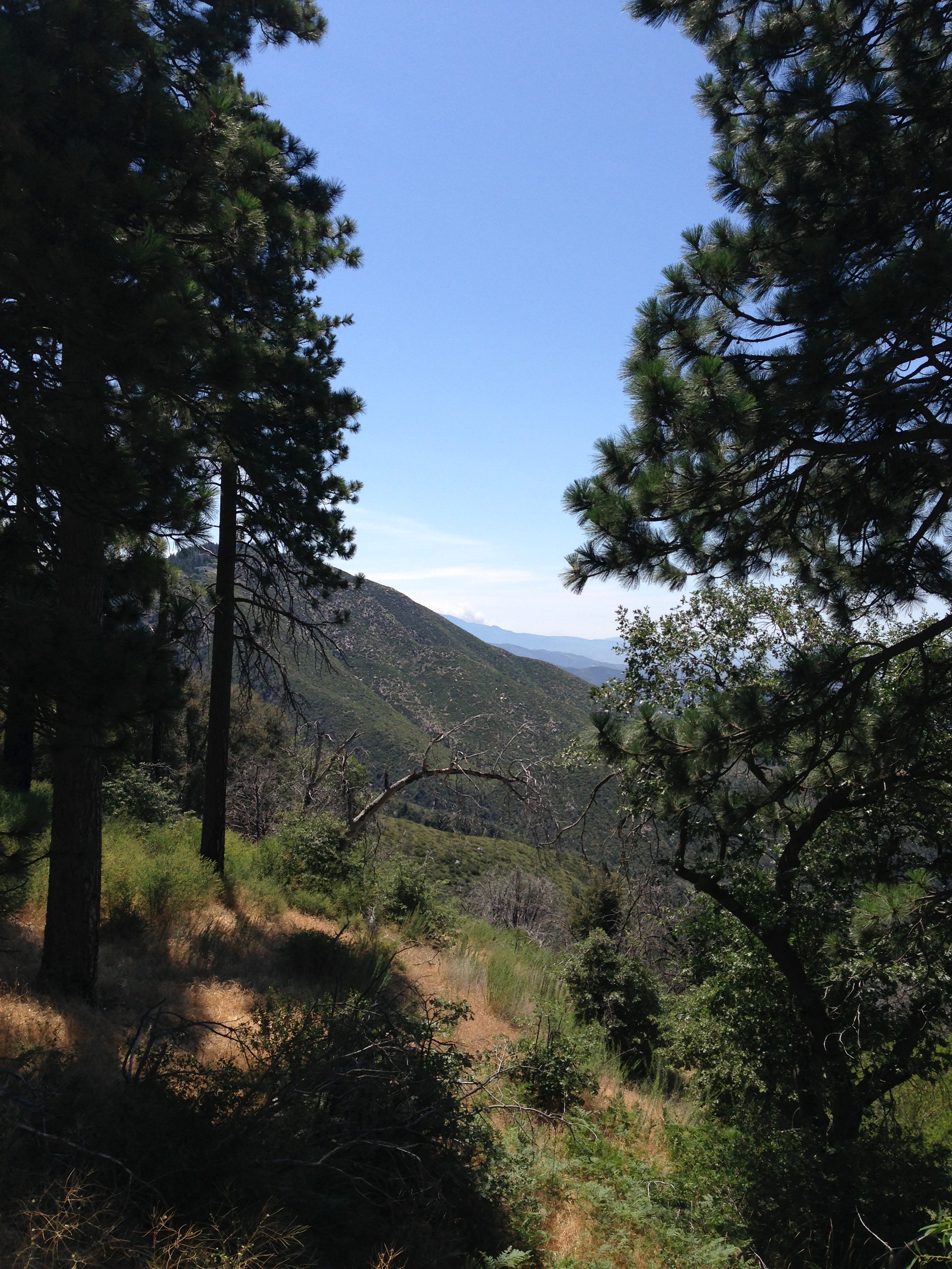
San Bernardino National Forest, California
"Just #go." #saturday #goodmorning #runningsprings
New Hoppers Going Away
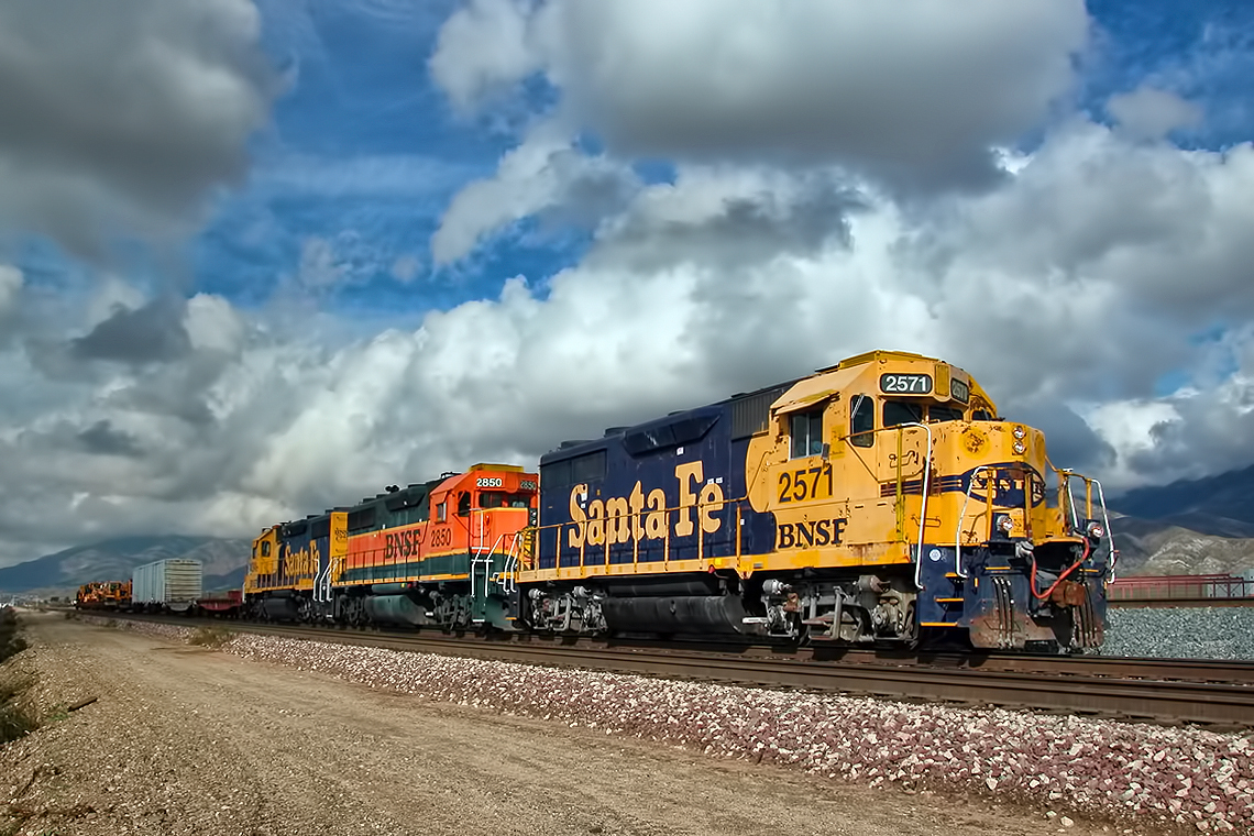
Westbound Intermodal out of the Storm

Snow at Lake Silverwood

#sanbernardinomountains #mountains #runningsprings #hwy18

Blue lake. #LakeArrowhead
dark city
Sundown with sundowners
Topographic Map of Alpine Ln, Twin Peaks, CA, USA
Find elevation by address:

Places near Alpine Ln, Twin Peaks, CA, USA:
664 Maxson Dr
26503 Fernrock Rd
26325 Forest Ln
415 Club House Dr
547 Rose Ln
882 Balsam Ln
26174 Boulder Ln
26174 Boulder Ln
26619 Thunderbird Dr
272 Fairway Dr
372 Cedarbrook Dr
Herrick Kevin Md
416 Cedarbrook Dr
Twin Peaks
180 Brentwood Dr
26900 Everest Rd
197 Grandview Rd
26880 Huron Rd
Huron Road
366 Annandale Dr
Recent Searches:
- Elevation of Slanický ostrov, 01 Námestovo, Slovakia
- Elevation of Spaceport America, Co Rd A, Truth or Consequences, NM, USA
- Elevation of Warwick, RI, USA
- Elevation of Fern Rd, Whitmore, CA, USA
- Elevation of 62 Abbey St, Marshfield, MA, USA
- Elevation of Fernwood, Bradenton, FL, USA
- Elevation of Felindre, Swansea SA5 7LU, UK
- Elevation of Leyte Industrial Development Estate, Isabel, Leyte, Philippines
- Elevation of W Granada St, Tampa, FL, USA
- Elevation of Pykes Down, Ivybridge PL21 0BY, UK