Elevation of Maxson Dr, Twin Peaks, CA, USA
Location: United States > California > San Bernardino County > Twin Peaks >
Longitude: -117.22505
Latitude: 34.2410402
Elevation: 1700m / 5577feet
Barometric Pressure: 82KPa
Elevation Map:
Satellite Map:
Related Photos:

prcssd. combat camera. san bernardino, ca. 2011.

Queen's Fine Food

Thanksgiving Sunset HDR

Overlooking the Inland Empire

May your day be blessed and full of strippers and burritos or pizza Birds ???? eye ???? view #330

Above the Clouds

The IE from the Mountains Above
prcssd. air tanker base. san bernardino, ca. 2011.
Nighttime over the Inland Empire
The White House (of San Bernardino)
Cal-3 024
Last Light, Lake Arrowhead

What A Blast!
Cal-3 023
The Distant Pacific
Site Plan for Renovations to Seccombe Lake and for Its Integration with the Pioneer Historical Gardens
Mill Peak View

A Face Only UP Could Love

Islands in the Mist

South from Marie Louise
Green Topographic
2004 Westbound MoW train in Verdemont, from my collection.
3.12.11 - Big Bear
San Bernardino National Forest, California
#bigbear #bigbearlake #sanbernardino #sanbernardinonationalforest
Orange Saddleback

#sanbernardinomountains #mountains #runningsprings #hwy18

Rim of the World Highway

Sunset at Rim of the World
Read the link. BNSF Train under the Old Fire smoke

Above it all
Fire on the Water

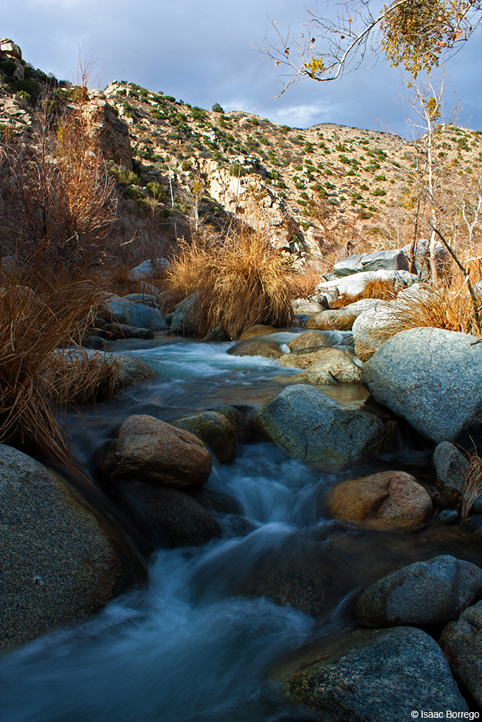
110-365 Fishing Reconnaissance
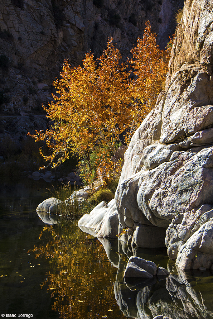
Canyon Reflections - Deep Creek, California
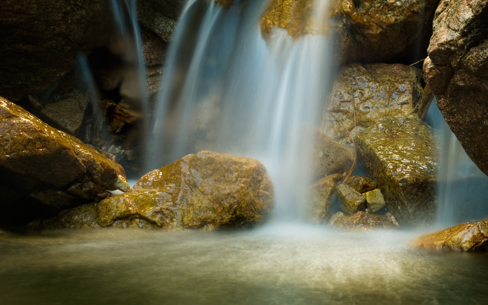
Pine Falls
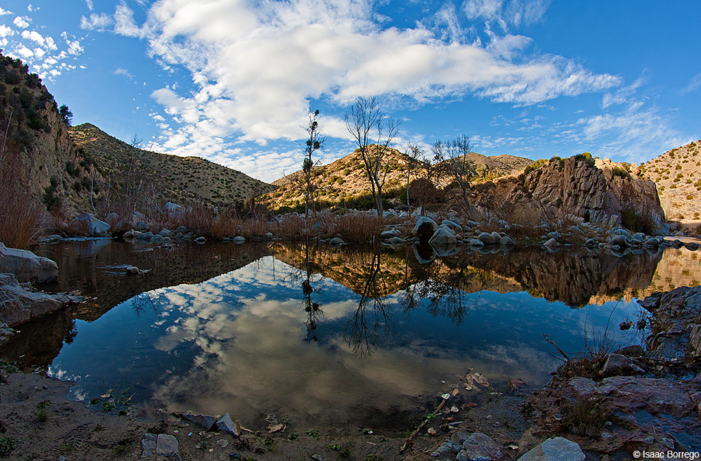
Deep Creek, California
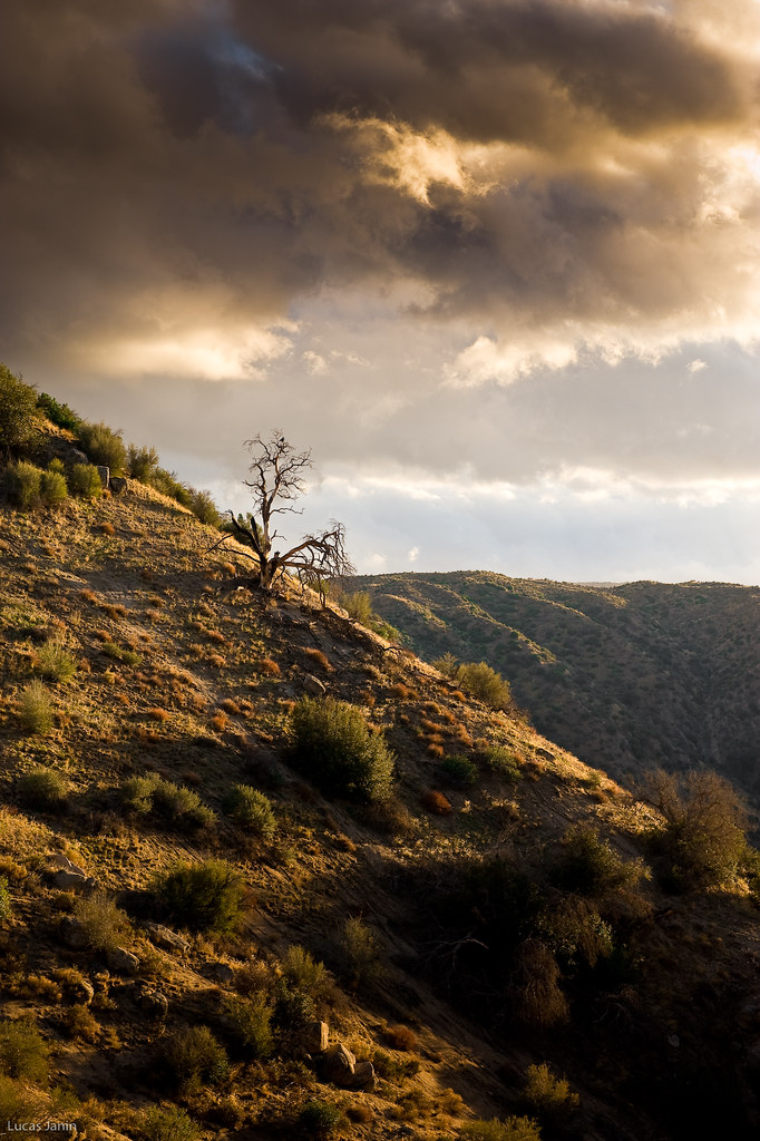
The dead tree
Topographic Map of Maxson Dr, Twin Peaks, CA, USA
Find elevation by address:

Places near Maxson Dr, Twin Peaks, CA, USA:
26466 Alpine Ln
26503 Fernrock Rd
415 Club House Dr
26325 Forest Ln
547 Rose Ln
882 Balsam Ln
26174 Boulder Ln
26174 Boulder Ln
26619 Thunderbird Dr
272 Fairway Dr
Herrick Kevin Md
372 Cedarbrook Dr
416 Cedarbrook Dr
Twin Peaks
180 Brentwood Dr
26900 Everest Rd
26880 Huron Rd
Huron Road
197 Grandview Rd
366 Annandale Dr
Recent Searches:
- Elevation of Elwyn Dr, Roanoke Rapids, NC, USA
- Elevation of Congressional Dr, Stevensville, MD, USA
- Elevation of Bellview Rd, McLean, VA, USA
- Elevation of Stage Island Rd, Chatham, MA, USA
- Elevation of Shibuya Scramble Crossing, 21 Udagawacho, Shibuya City, Tokyo -, Japan
- Elevation of Jadagoniai, Kaunas District Municipality, Lithuania
- Elevation of Pagonija rock, Kranto 7-oji g. 8"N, Kaunas, Lithuania
- Elevation of Co Rd 87, Jamestown, CO, USA
- Elevation of Tenjo, Cundinamarca, Colombia
- Elevation of Côte-des-Neiges, Montreal, QC H4A 3J6, Canada