Elevation of Cypress St, Longville, LA, USA
Location: United States > Louisiana > Beauregard Parish > 4b > Longville >
Longitude: -93.235683
Latitude: 30.6038627
Elevation: 41m / 135feet
Barometric Pressure: 101KPa
Elevation Map:
Satellite Map:
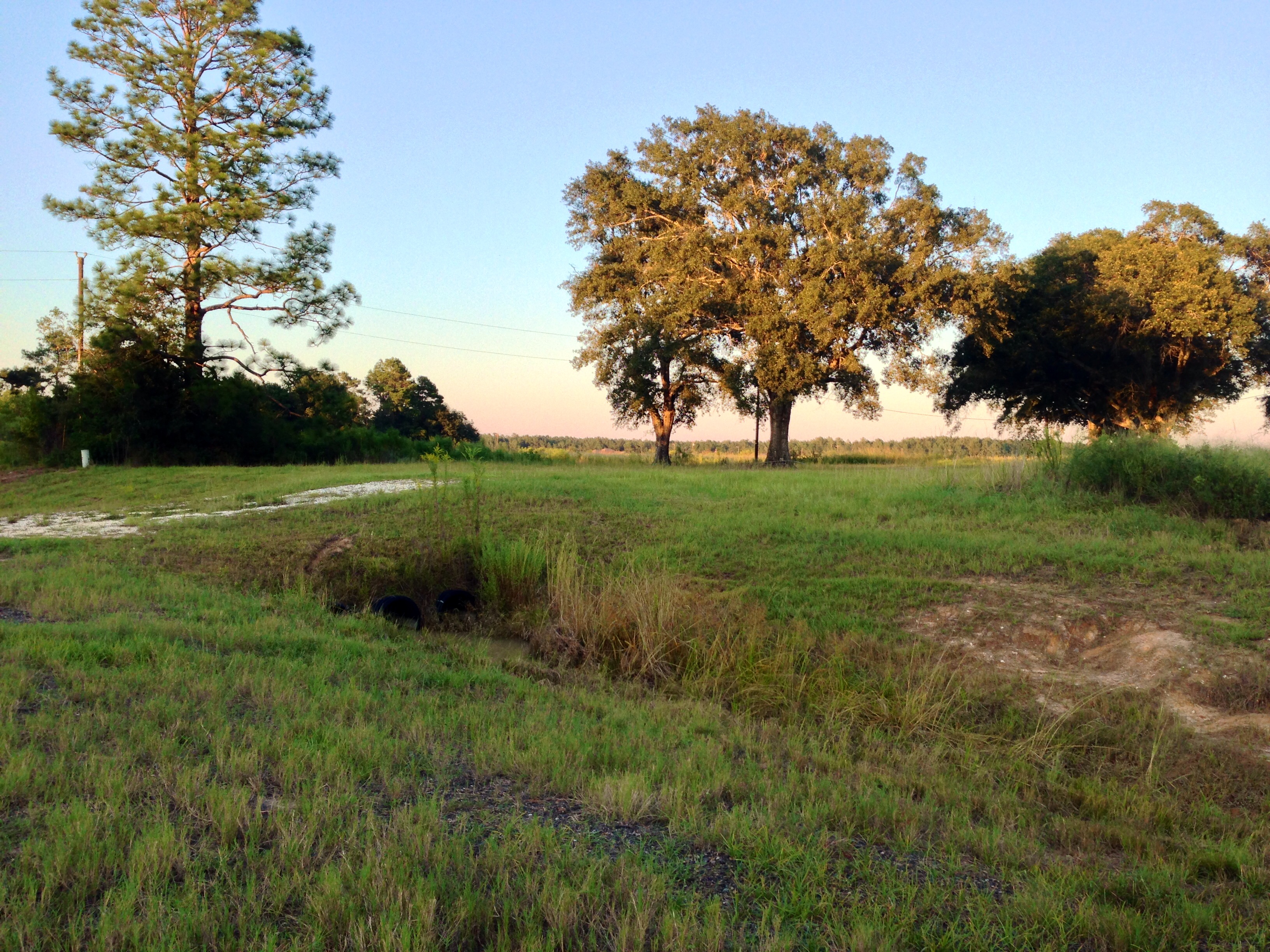
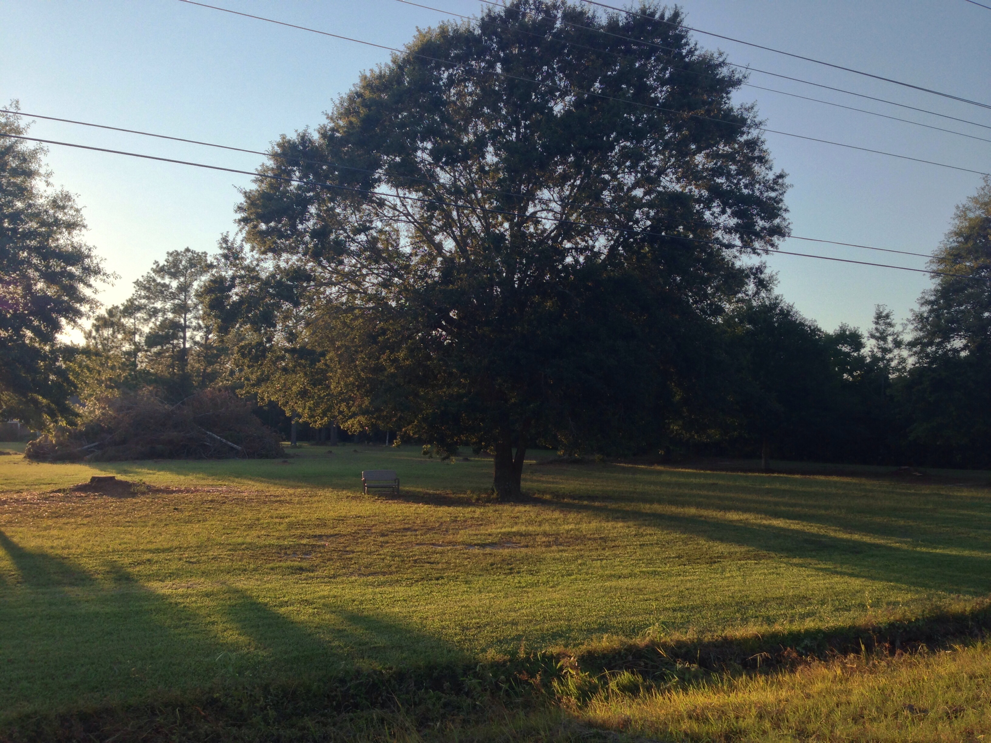
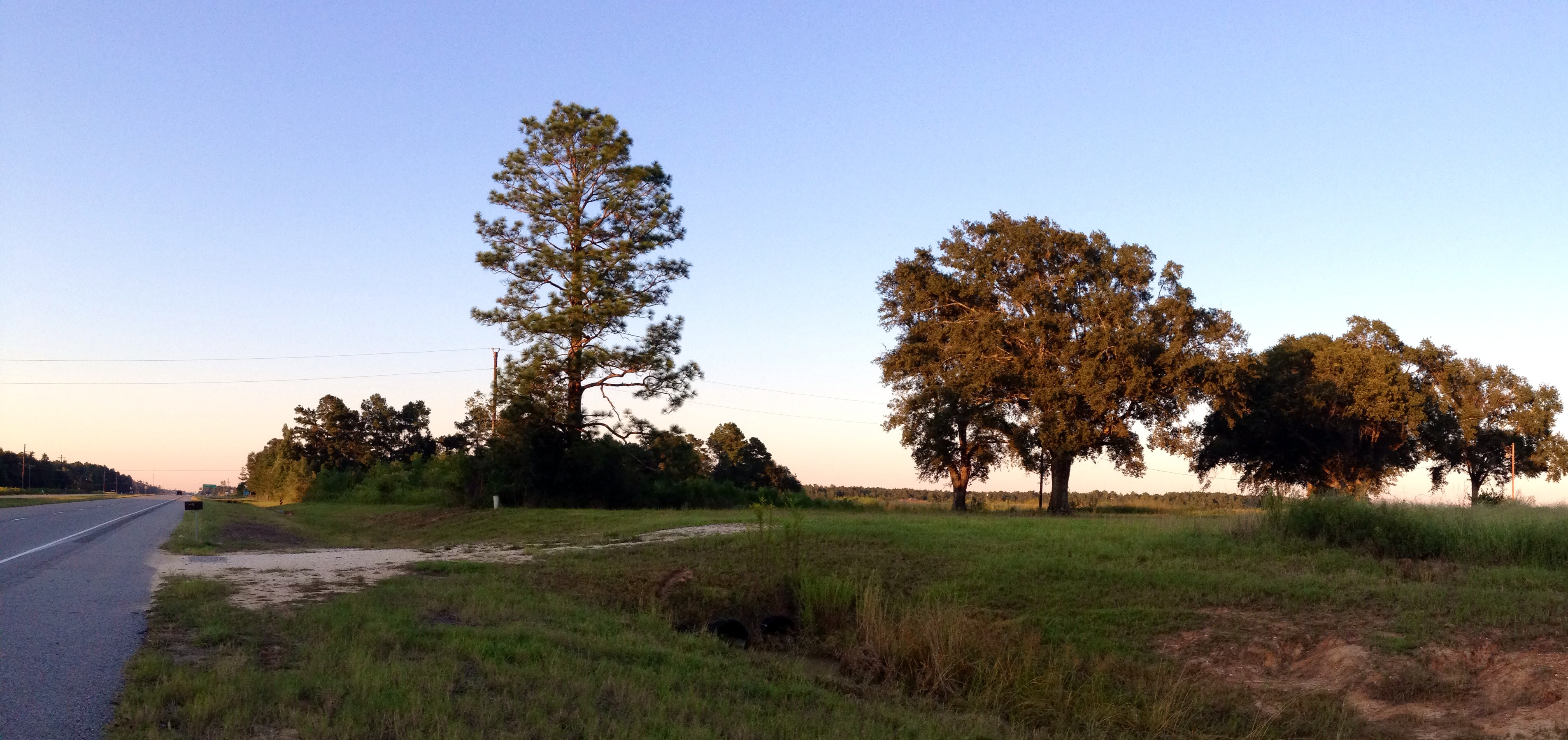
Related Photos:

Longville Lake pano
Take a Walk
Take a Walk

Take a Walk
Take a Walk

Roseate Skimmer

Little Blue Dragonlet

Clouded Skipper

Black Vulture

Phillip looking for the sign
Topographic Map of Cypress St, Longville, LA, USA
Find elevation by address:

Places near Cypress St, Longville, LA, USA:
Longville
635 Longville Acres Rd
896 S A Cooley Rd
270 Allen-dale Rd
2107 Magnolia Church Rd
Ragley
4a
Hunt Road
4b
14765 Us-171
15870 Us-171
821 Mennonite Rd
446 S Smokey Cove Rd
Pierce Road
Ragley, LA, USA
435 Beehive Loop
2396 S Smokey Cove Rd
4876 Greentown Rd
Ivan Gimnick Road
Panhandle Road
Recent Searches:
- Elevation of Laurel Rd, Townsend, TN, USA
- Elevation of 3 Nestling Wood Dr, Long Valley, NJ, USA
- Elevation of Ilungu, Tanzania
- Elevation of Yellow Springs Road, Yellow Springs Rd, Chester Springs, PA, USA
- Elevation of Rēzekne Municipality, Latvia
- Elevation of Plikpūrmaļi, Vērēmi Parish, Rēzekne Municipality, LV-, Latvia
- Elevation of 2 Henschke Ct, Caboolture QLD, Australia
- Elevation of Redondo Ave, Long Beach, CA, USA
- Elevation of Sadovaya Ulitsa, 20, Rezh, Sverdlovskaya oblast', Russia
- Elevation of Ulitsa Kalinina, 79, Rezh, Sverdlovskaya oblast', Russia