Elevation of S A Cooley Rd, Longville, LA, USA
Location: United States > Louisiana > Beauregard Parish > 4a >
Longitude: -93.265197
Latitude: 30.5464346
Elevation: 26m / 85feet
Barometric Pressure: 101KPa
Elevation Map:
Satellite Map:
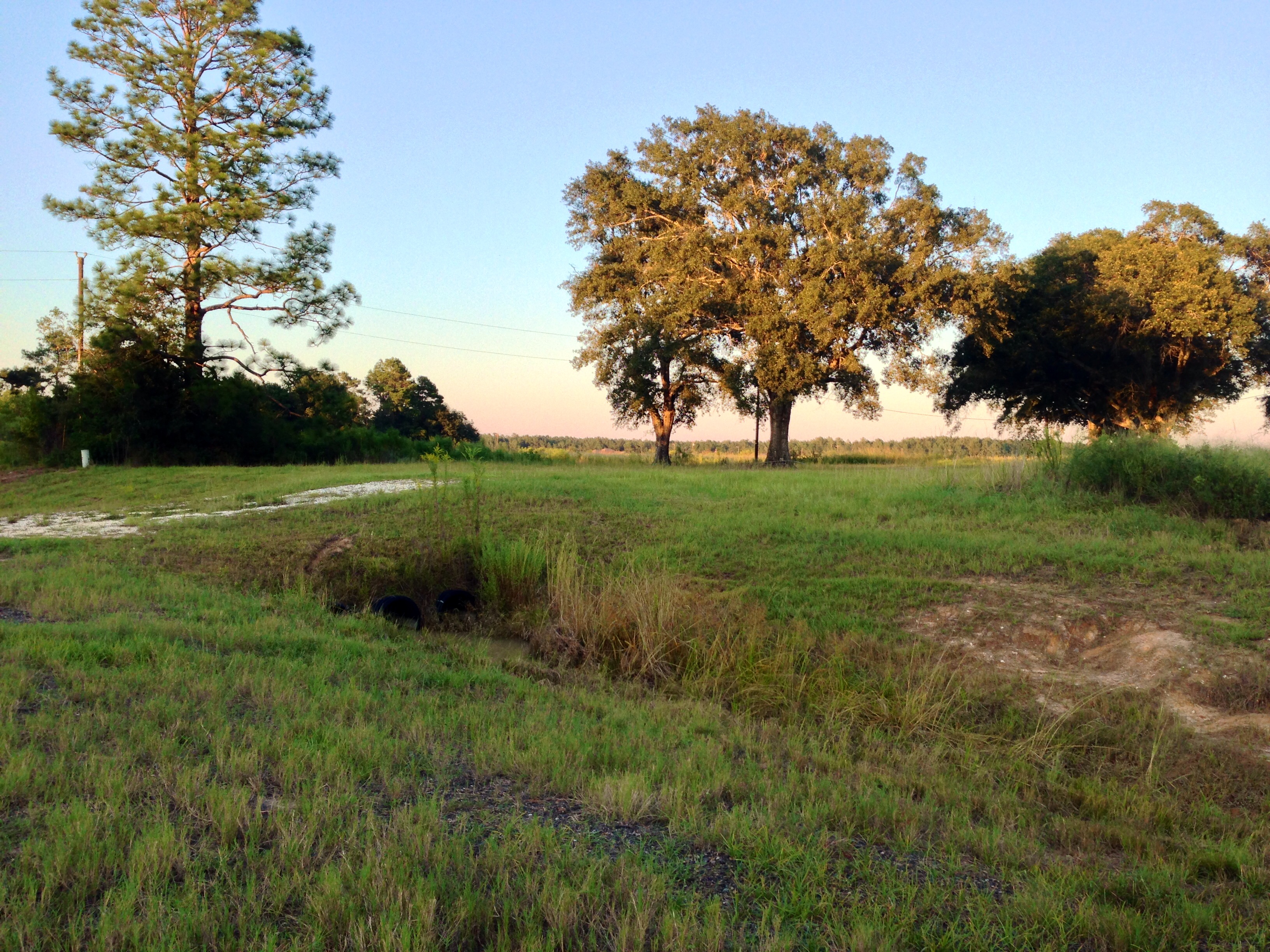
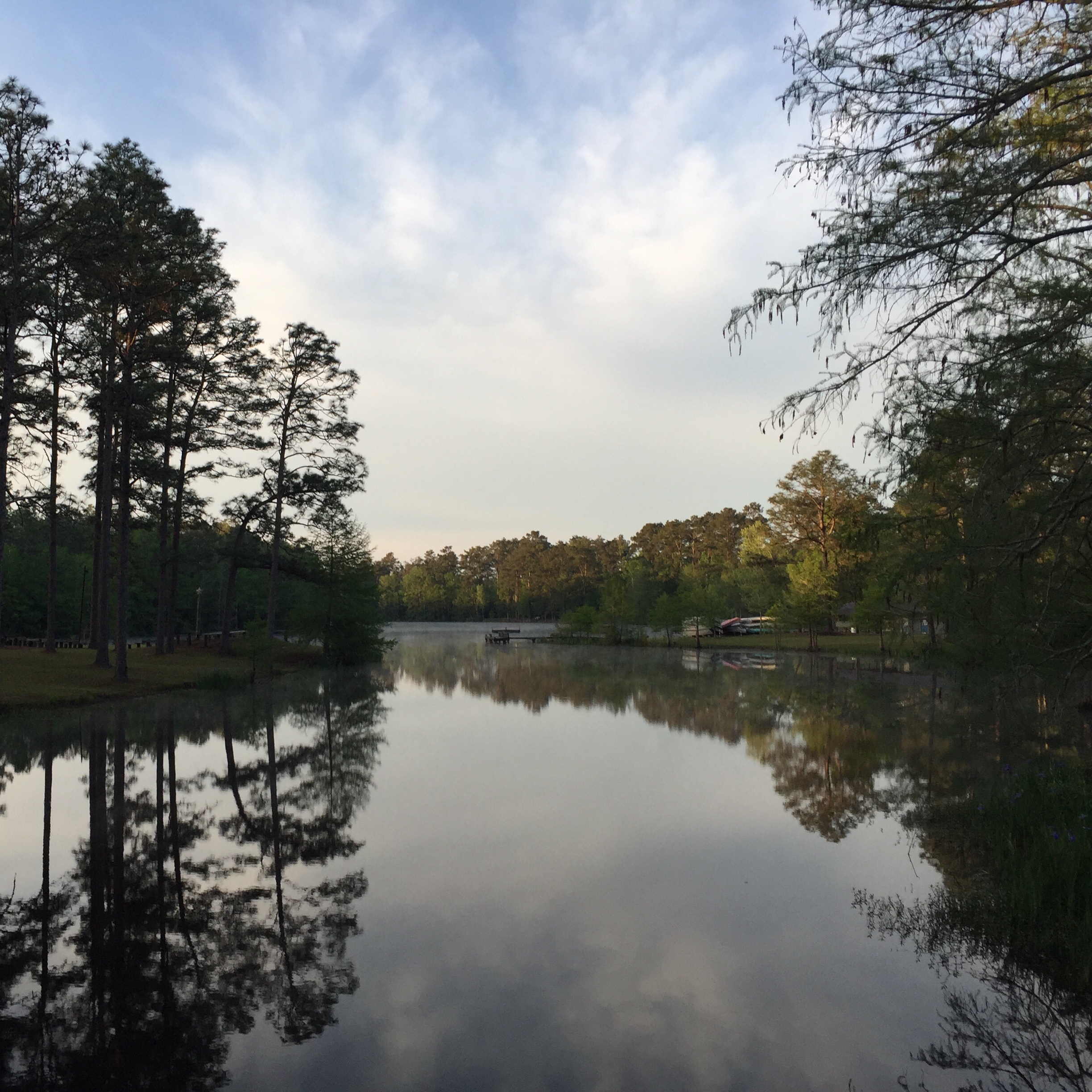
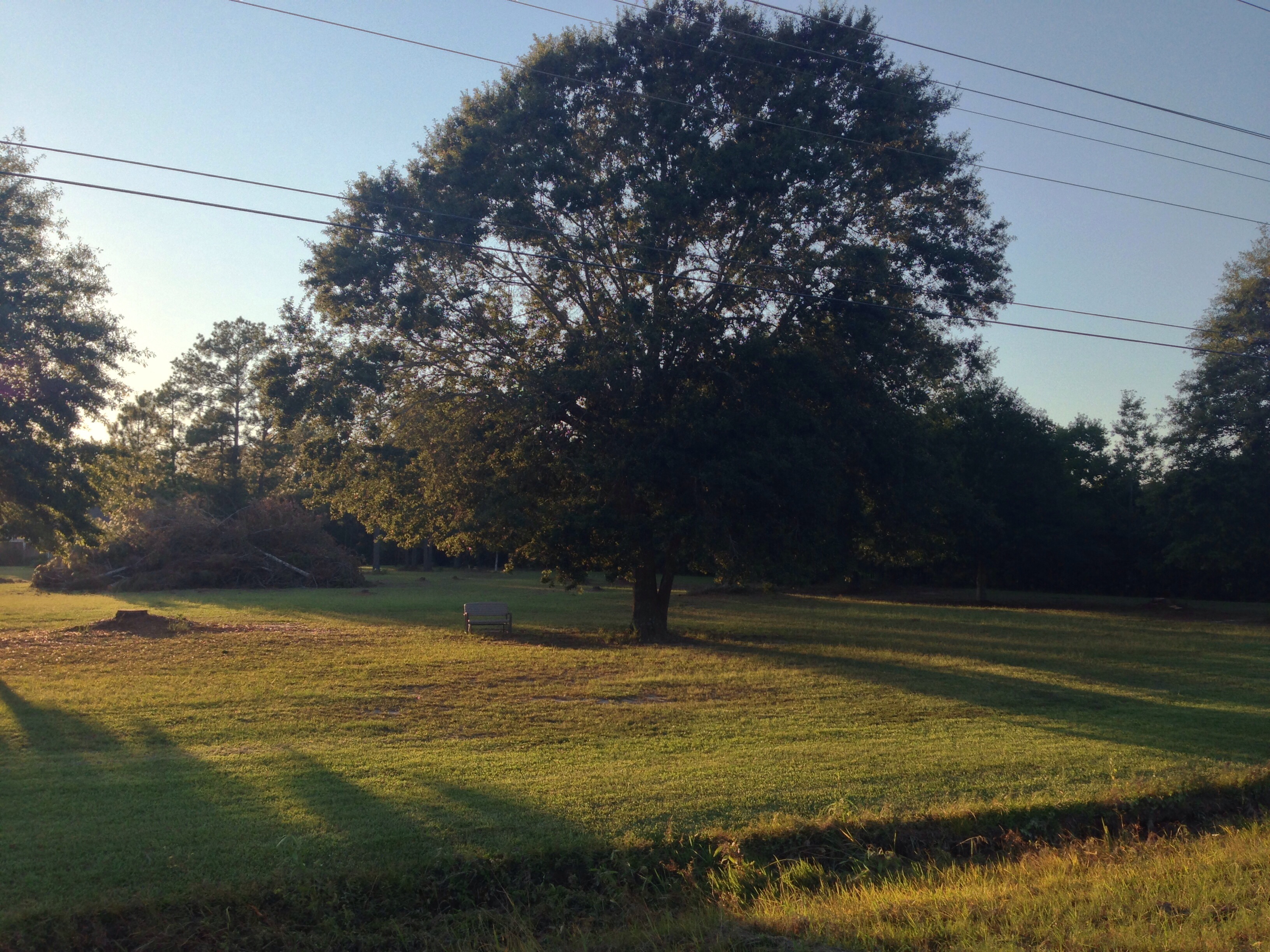
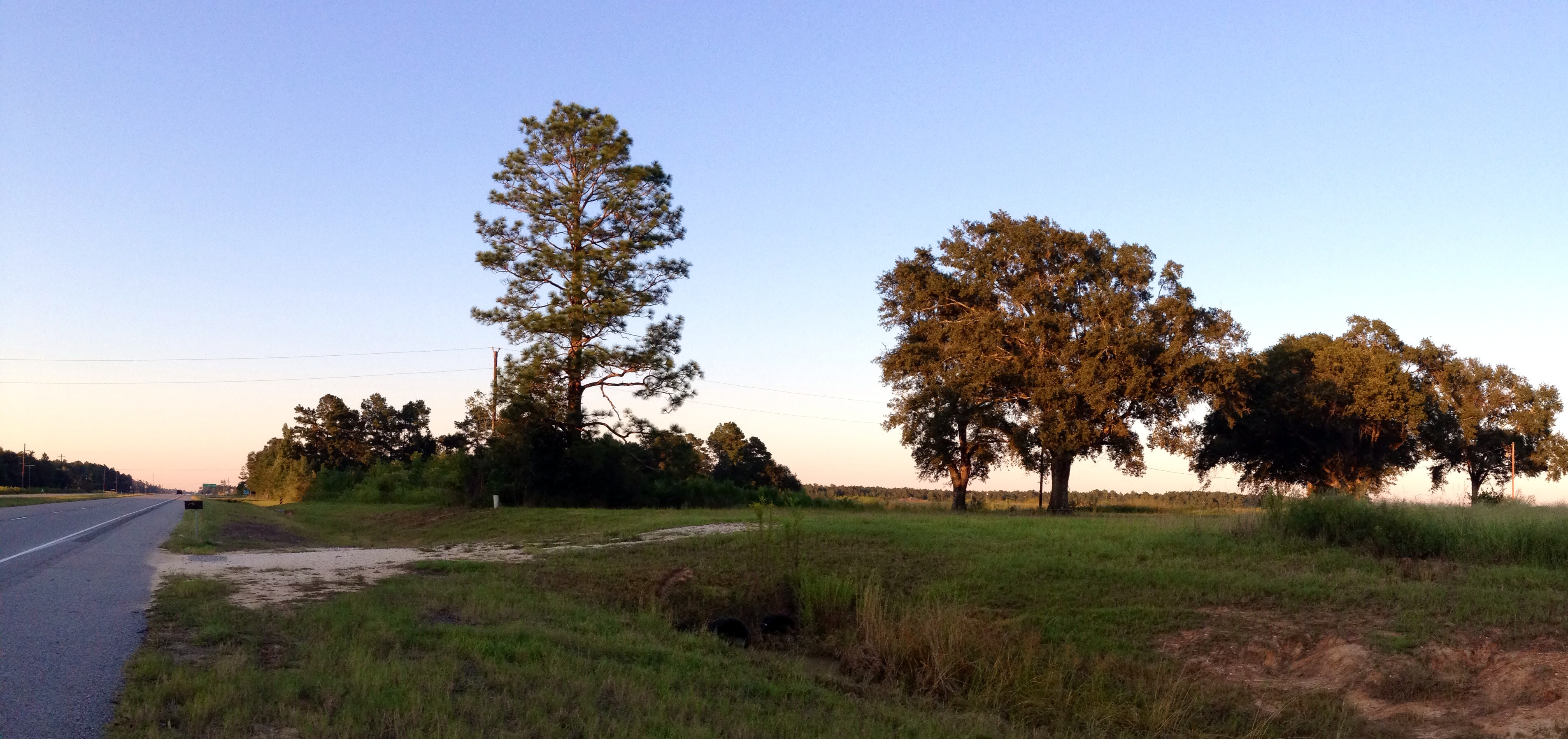
Related Photos:

Longville Lake pano
Take a Walk
Camp Edgewood
Take a Walk

Take a Walk
Take a Walk

Is It So Bad Never Seeing Your Face Again
Phillip looking for the sign
Topographic Map of S A Cooley Rd, Longville, LA, USA
Find elevation by address:

Places near S A Cooley Rd, Longville, LA, USA:
4a
Ragley
14765 Us-171
270 Allen-dale Rd
Pierce Road
15870 Us-171
2107 Magnolia Church Rd
Panhandle Road
Ivan Gimnick Road
Pilgrim Rest Road
Harvey Parker Road
Herman Ellender Road
Ned Smith Road
Alston Cemetery Road
4985 Camp Edgewood Rd
183 Buddy Cooper Rd
183 Buddy Cooper Rd
1237 Dougharty Rd
121 Foghorn Dr
407 Old Seale Rd
Recent Searches:
- Elevation of Lampiasi St, Sarasota, FL, USA
- Elevation of Elwyn Dr, Roanoke Rapids, NC, USA
- Elevation of Congressional Dr, Stevensville, MD, USA
- Elevation of Bellview Rd, McLean, VA, USA
- Elevation of Stage Island Rd, Chatham, MA, USA
- Elevation of Shibuya Scramble Crossing, 21 Udagawacho, Shibuya City, Tokyo -, Japan
- Elevation of Jadagoniai, Kaunas District Municipality, Lithuania
- Elevation of Pagonija rock, Kranto 7-oji g. 8"N, Kaunas, Lithuania
- Elevation of Co Rd 87, Jamestown, CO, USA
- Elevation of Tenjo, Cundinamarca, Colombia