Elevation of Ned Smith Road, Ned Smith Rd, 4A, LA, USA
Location: United States > Louisiana > Beauregard Parish > 4a > Ragley >
Longitude: -93.262420
Latitude: 30.418983
Elevation: 16m / 52feet
Barometric Pressure: 101KPa
Elevation Map:
Satellite Map:
Related Photos:

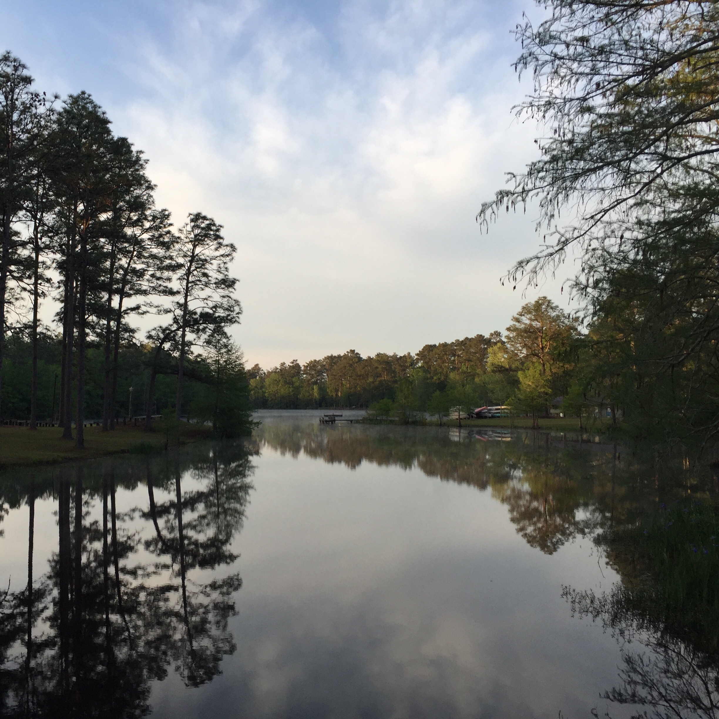
Bayou Sunrise

Sam Houston Jones Cypress

Clouds--sunset--turtle
Camp Edgewood
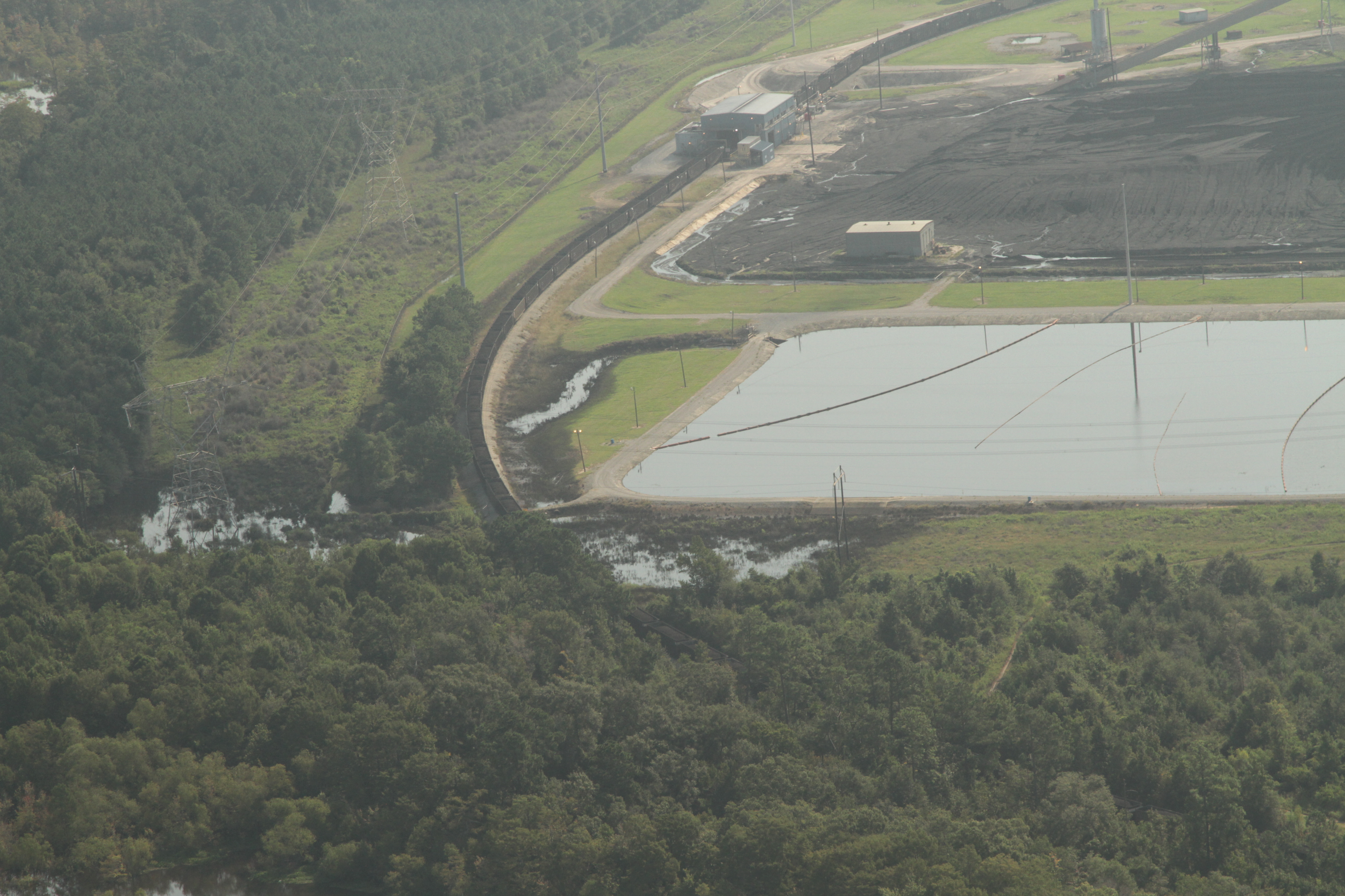
aa nrc r s nelson plant overflow IMG_7341
Take a Walk

Backwoods Living

Altered Perception
bird feeder black and white
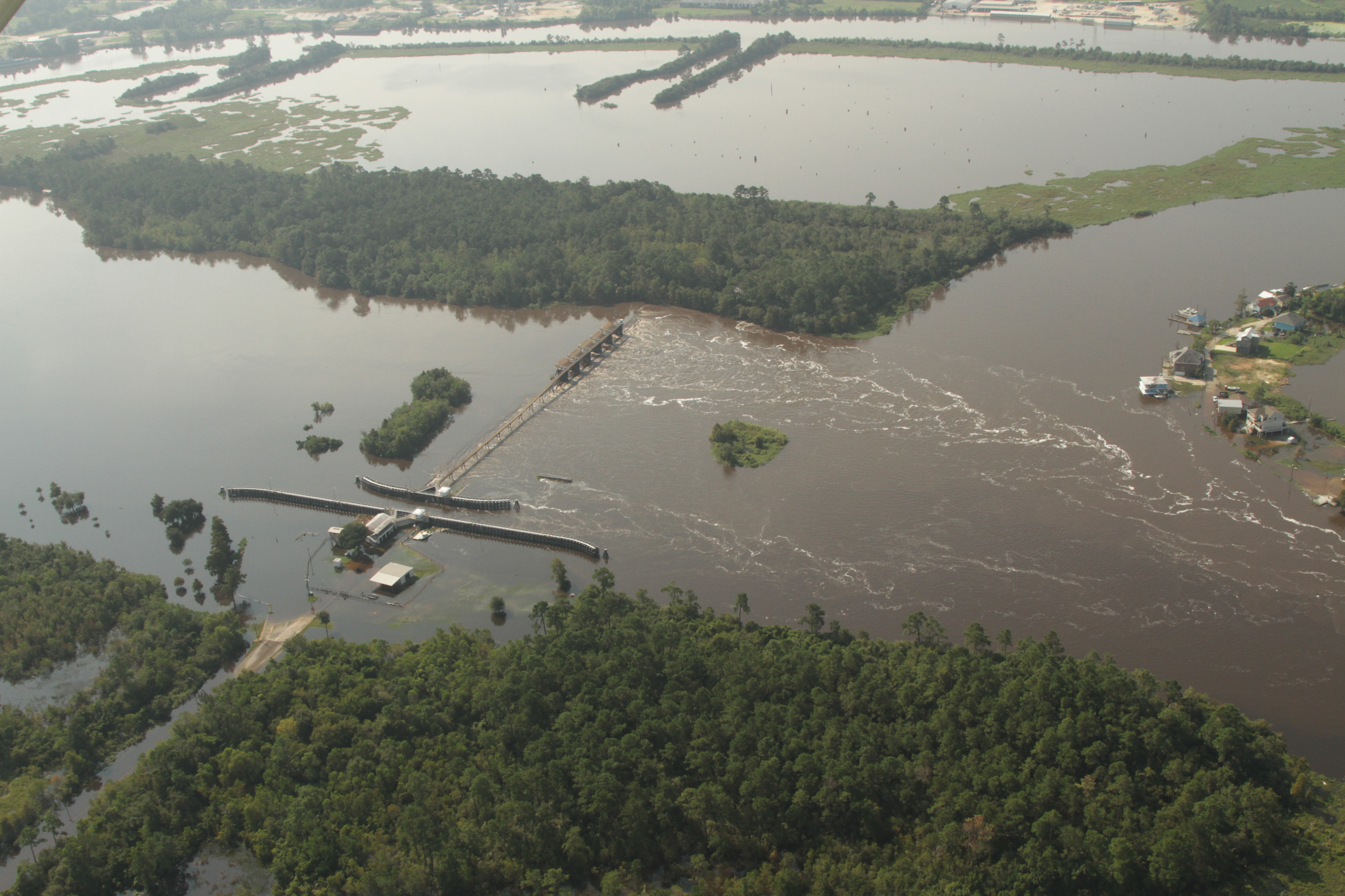
a houston or calc river i think at flood IMG_7544
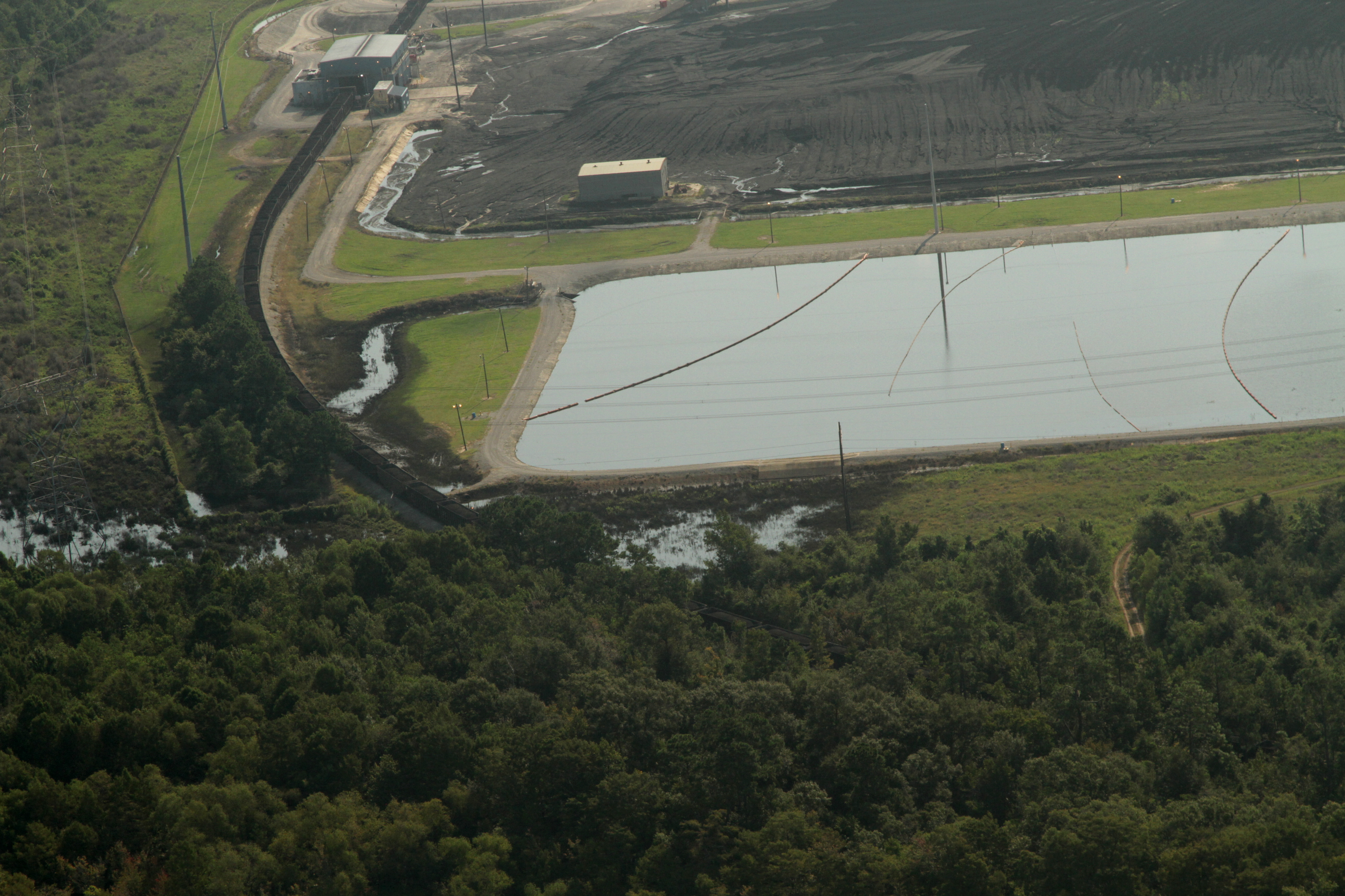
aa IMG_7343 R S Nelson coal plant stormwater overflow
Topographic Map of Ned Smith Road, Ned Smith Rd, 4A, LA, USA
Find elevation by address:

Places near Ned Smith Road, Ned Smith Rd, 4A, LA, USA:
Panhandle Road
Herman Ellender Road
15870 Us-171
Harvey Parker Road
14765 Us-171
Pierce Road
Alston Cemetery Road
Pilgrim Rest Road
4a
Ragley
Ivan Gimnick Road
4985 Camp Edgewood Rd
896 S A Cooley Rd
270 Allen-dale Rd
Dequincy, LA, USA
2107 Magnolia Church Rd
1237 Dougharty Rd
601 N Grand Ave
235 Peach St
Dequincy
Recent Searches:
- Elevation of Lampiasi St, Sarasota, FL, USA
- Elevation of Elwyn Dr, Roanoke Rapids, NC, USA
- Elevation of Congressional Dr, Stevensville, MD, USA
- Elevation of Bellview Rd, McLean, VA, USA
- Elevation of Stage Island Rd, Chatham, MA, USA
- Elevation of Shibuya Scramble Crossing, 21 Udagawacho, Shibuya City, Tokyo -, Japan
- Elevation of Jadagoniai, Kaunas District Municipality, Lithuania
- Elevation of Pagonija rock, Kranto 7-oji g. 8"N, Kaunas, Lithuania
- Elevation of Co Rd 87, Jamestown, CO, USA
- Elevation of Tenjo, Cundinamarca, Colombia