Elevation of Magnolia Church Rd, Ragley, LA, USA
Location: United States > Louisiana > Beauregard Parish > 4a >
Longitude: -93.178842
Latitude: 30.5336935
Elevation: 19m / 62feet
Barometric Pressure: 101KPa
Elevation Map:
Satellite Map:
Related Photos:

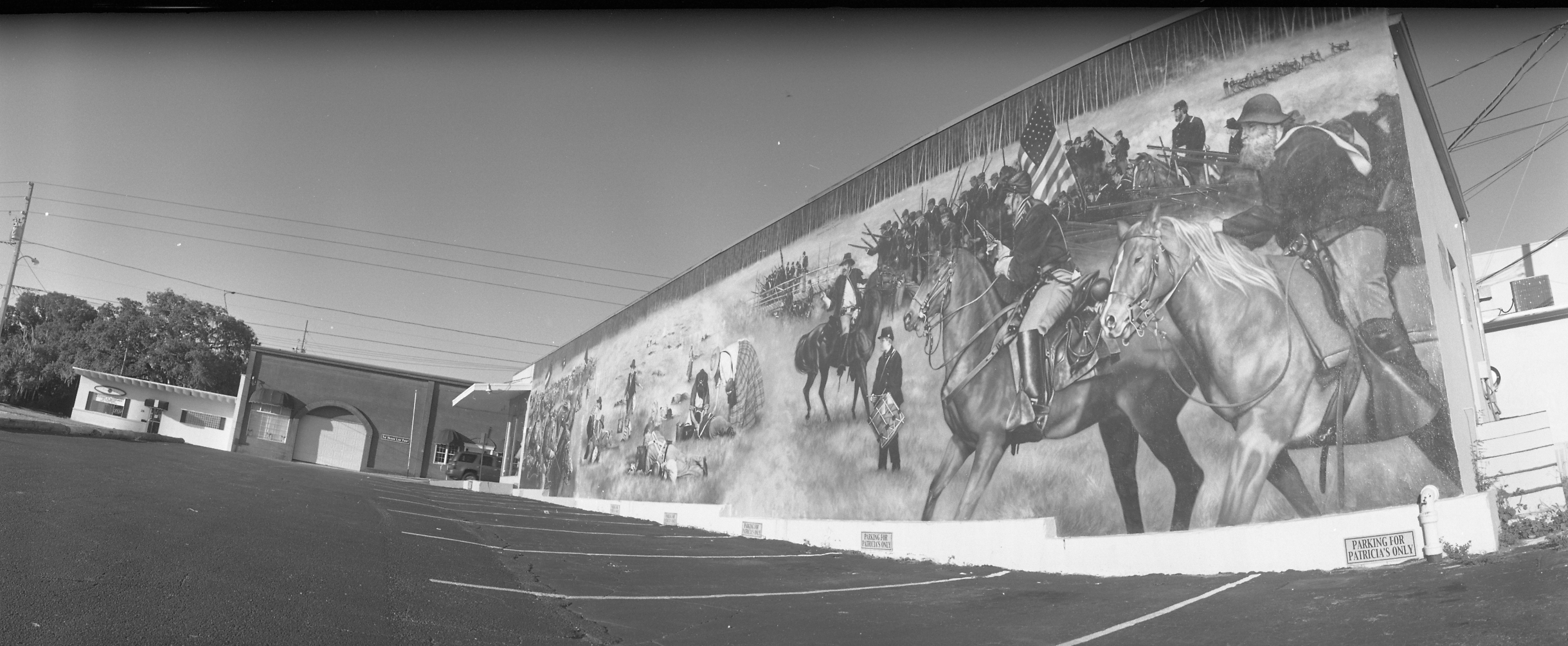
Backwoods Living

Altered Perception

Longville Lake pano
Take a Walk

Jozlyn and Lezlie

Sabrina and Lezlie
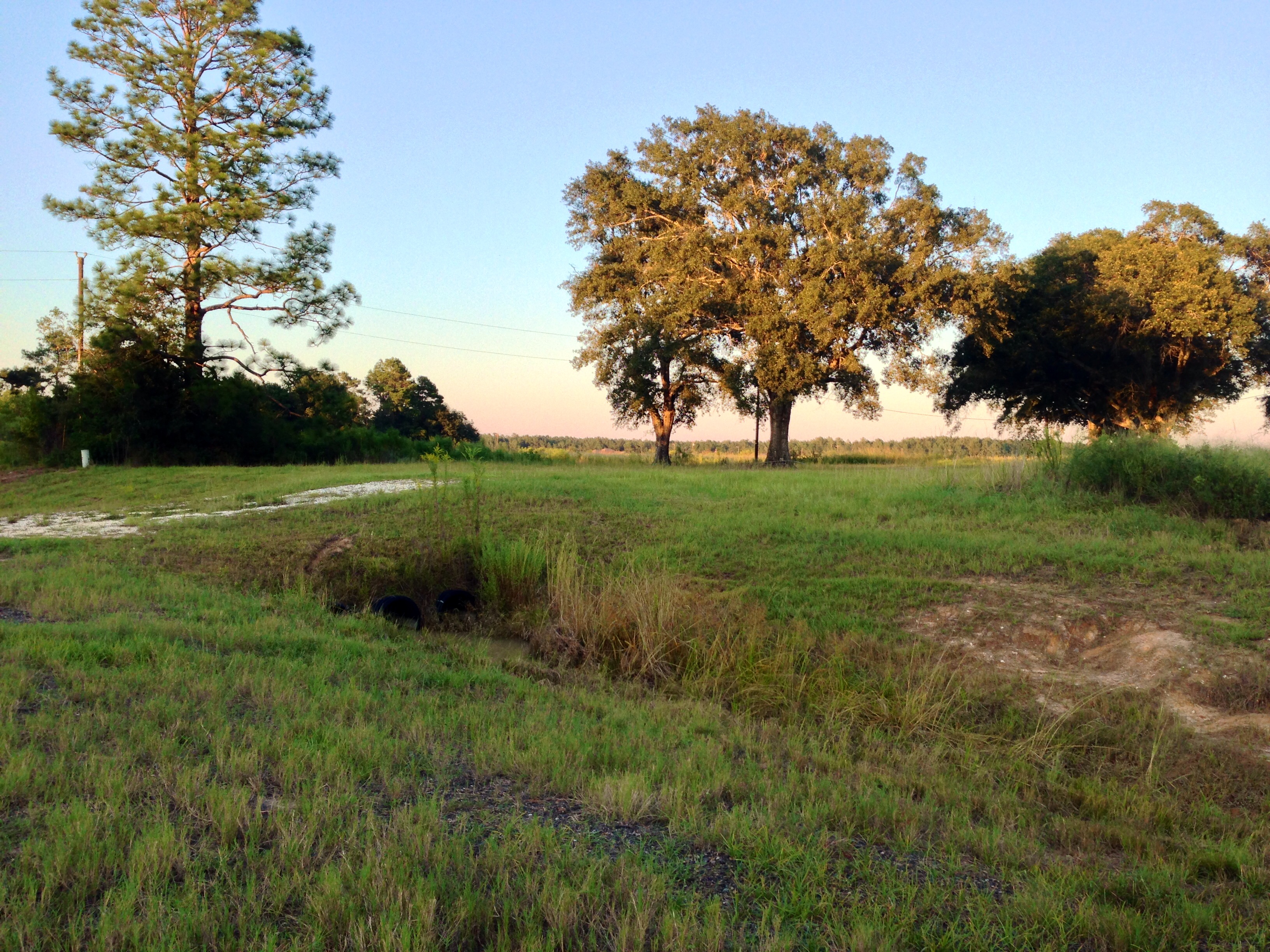
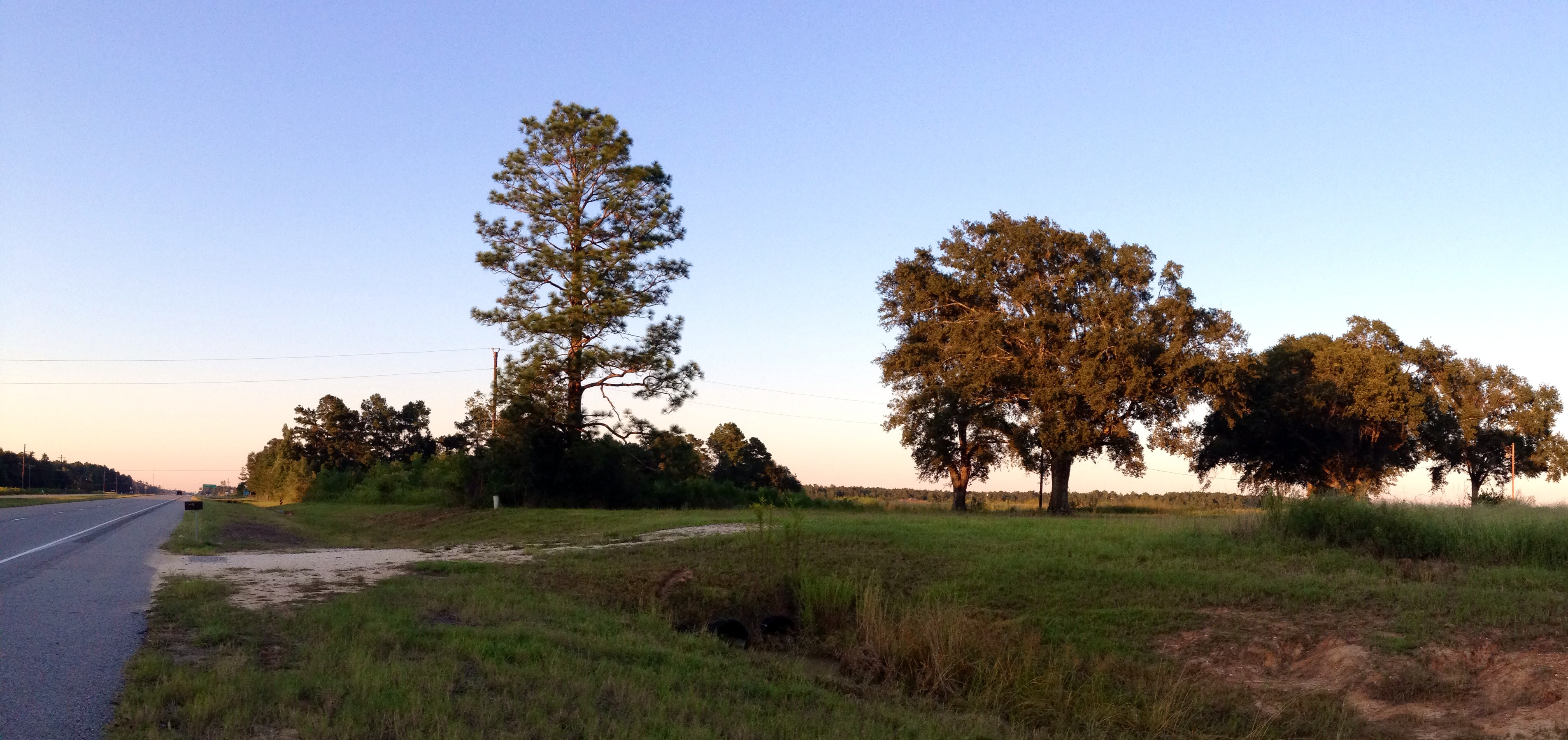
Country Road Beauty

Country Living
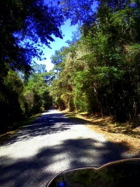
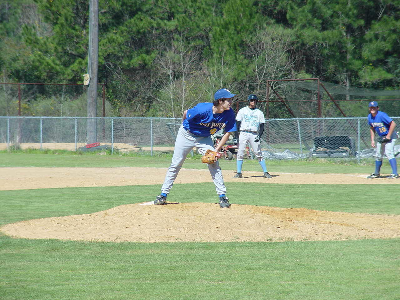
Take a Walk

Take a Walk
Take a Walk
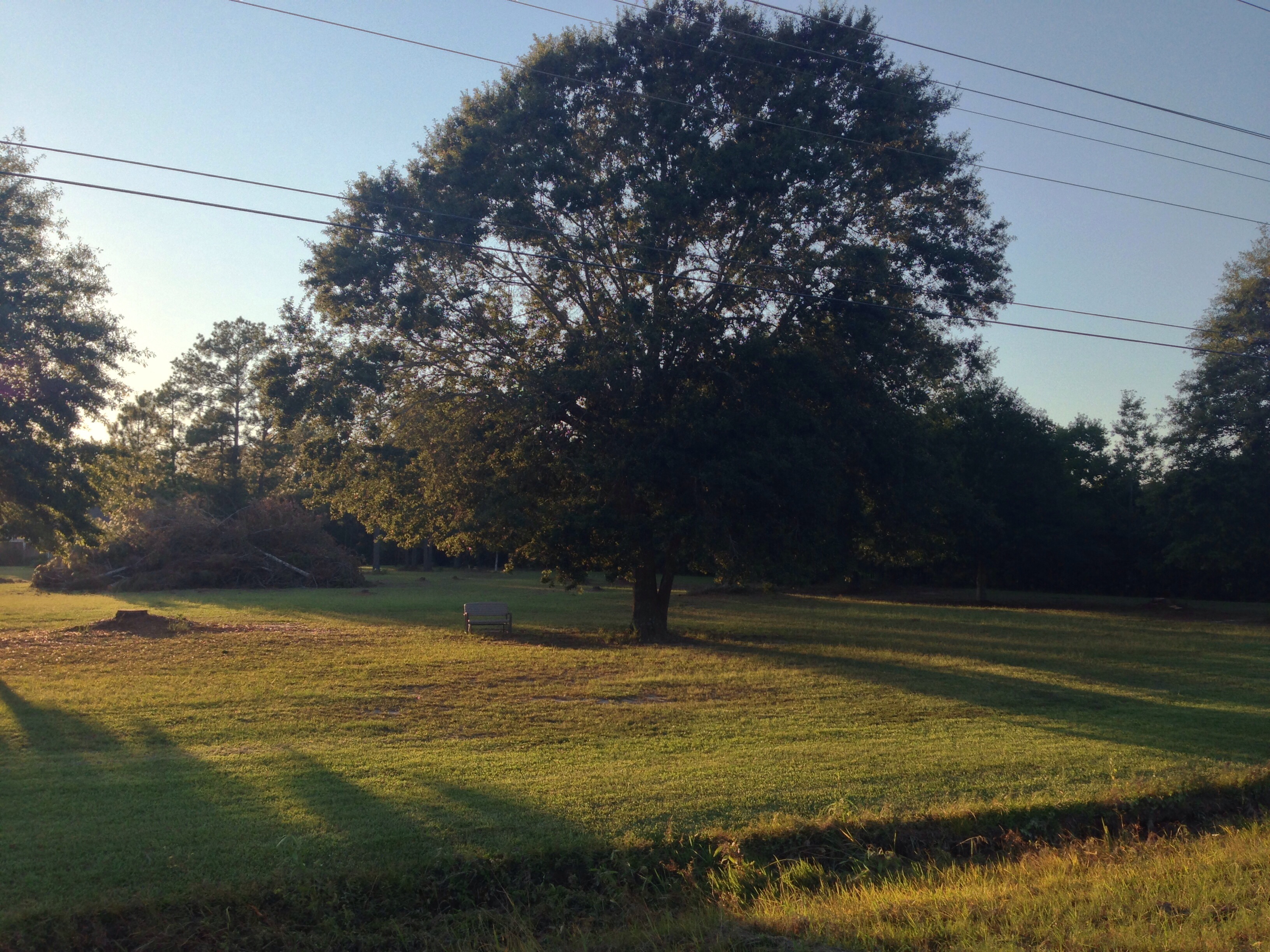
Maybe All You Needed Was Some Time for Quiet Contemplation

Waiting for cake
Phillip looking for the sign
Topographic Map of Magnolia Church Rd, Ragley, LA, USA
Find elevation by address:

Places near Magnolia Church Rd, Ragley, LA, USA:
270 Allen-dale Rd
Ragley
4a
14765 Us-171
15870 Us-171
896 S A Cooley Rd
Pierce Road
Ned Smith Road
Panhandle Road
Herman Ellender Road
Harvey Parker Road
Pilgrim Rest Road
Ivan Gimnick Road
Alston Cemetery Road
4985 Camp Edgewood Rd
1237 Dougharty Rd
183 Buddy Cooper Rd
183 Buddy Cooper Rd
Dequincy, LA, USA
121 Foghorn Dr
Recent Searches:
- Elevation of Congressional Dr, Stevensville, MD, USA
- Elevation of Bellview Rd, McLean, VA, USA
- Elevation of Stage Island Rd, Chatham, MA, USA
- Elevation of Shibuya Scramble Crossing, 21 Udagawacho, Shibuya City, Tokyo -, Japan
- Elevation of Jadagoniai, Kaunas District Municipality, Lithuania
- Elevation of Pagonija rock, Kranto 7-oji g. 8"N, Kaunas, Lithuania
- Elevation of Co Rd 87, Jamestown, CO, USA
- Elevation of Tenjo, Cundinamarca, Colombia
- Elevation of Côte-des-Neiges, Montreal, QC H4A 3J6, Canada
- Elevation of Bobcat Dr, Helena, MT, USA