Elevation of S Smokey Cove Rd, Singer, LA, USA
Location: United States > Louisiana > Beauregard Parish > > Singer >
Longitude: -93.375931
Latitude: 30.6082256
Elevation: 35m / 115feet
Barometric Pressure: 101KPa
Elevation Map:
Satellite Map:
Related Photos:

Longville Lake pano

Is It So Bad Never Seeing Your Face Again
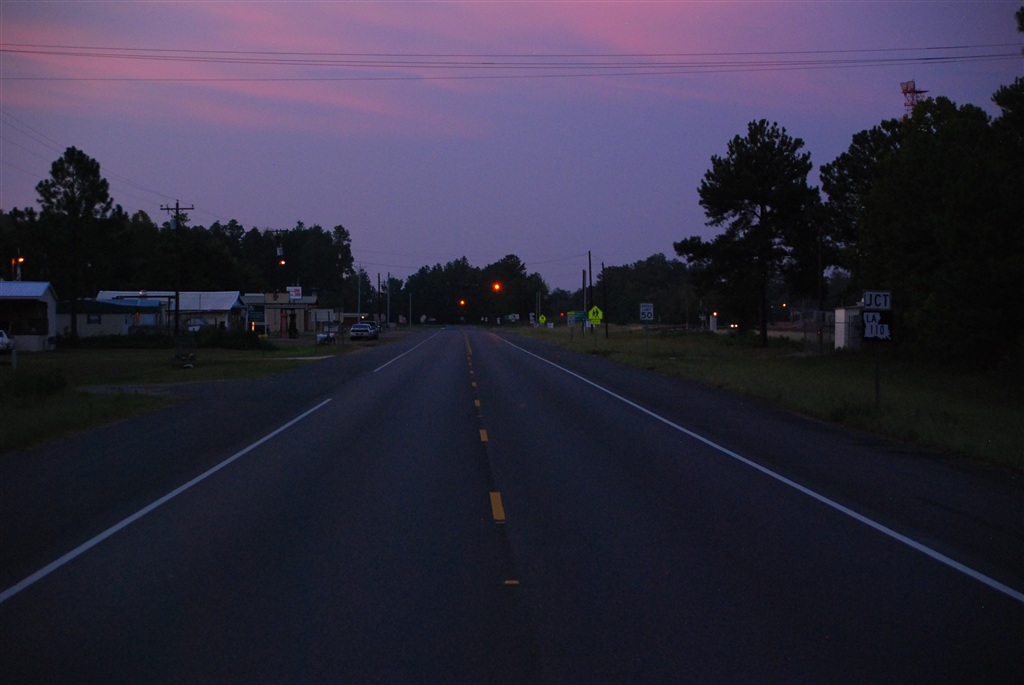
Blinking lights of Singer, LA
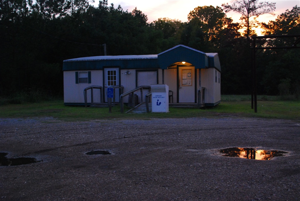
The Singer Library
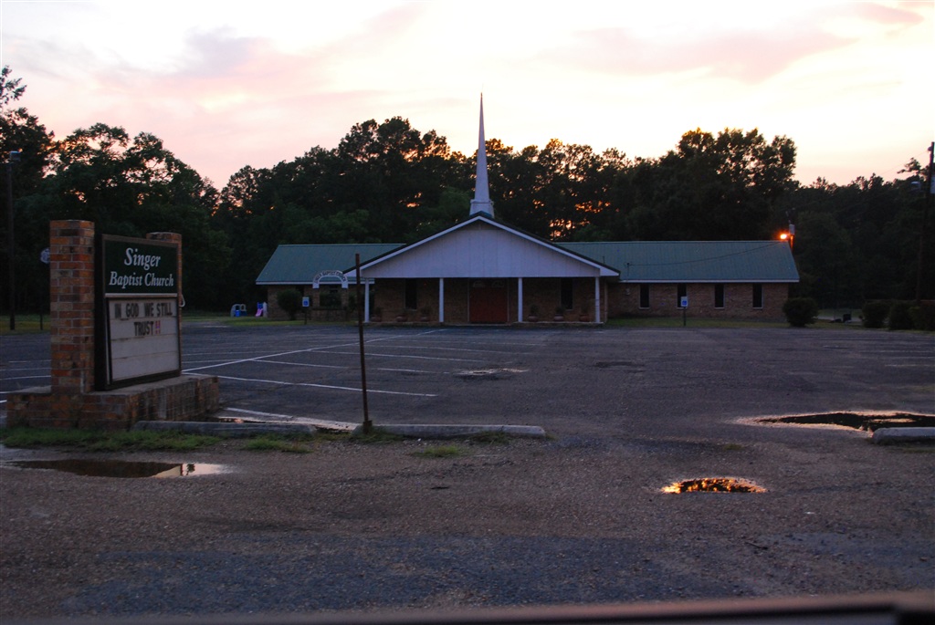
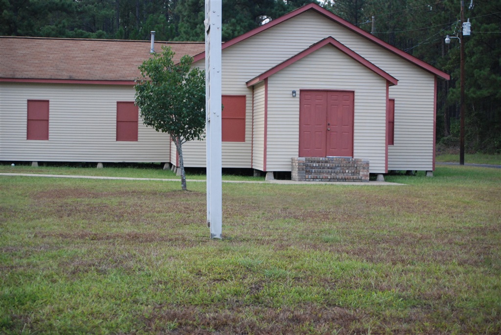
Singer Baptist Church
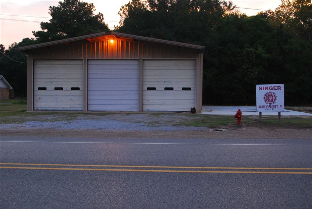
Volunteer Fire Department
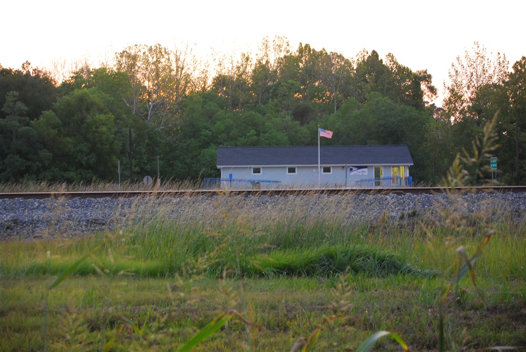
Singer Post Office
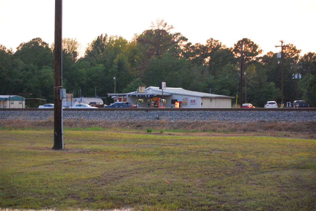
Singer One Stop
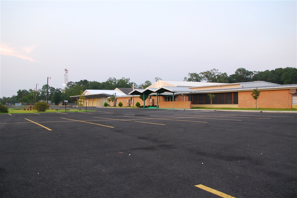
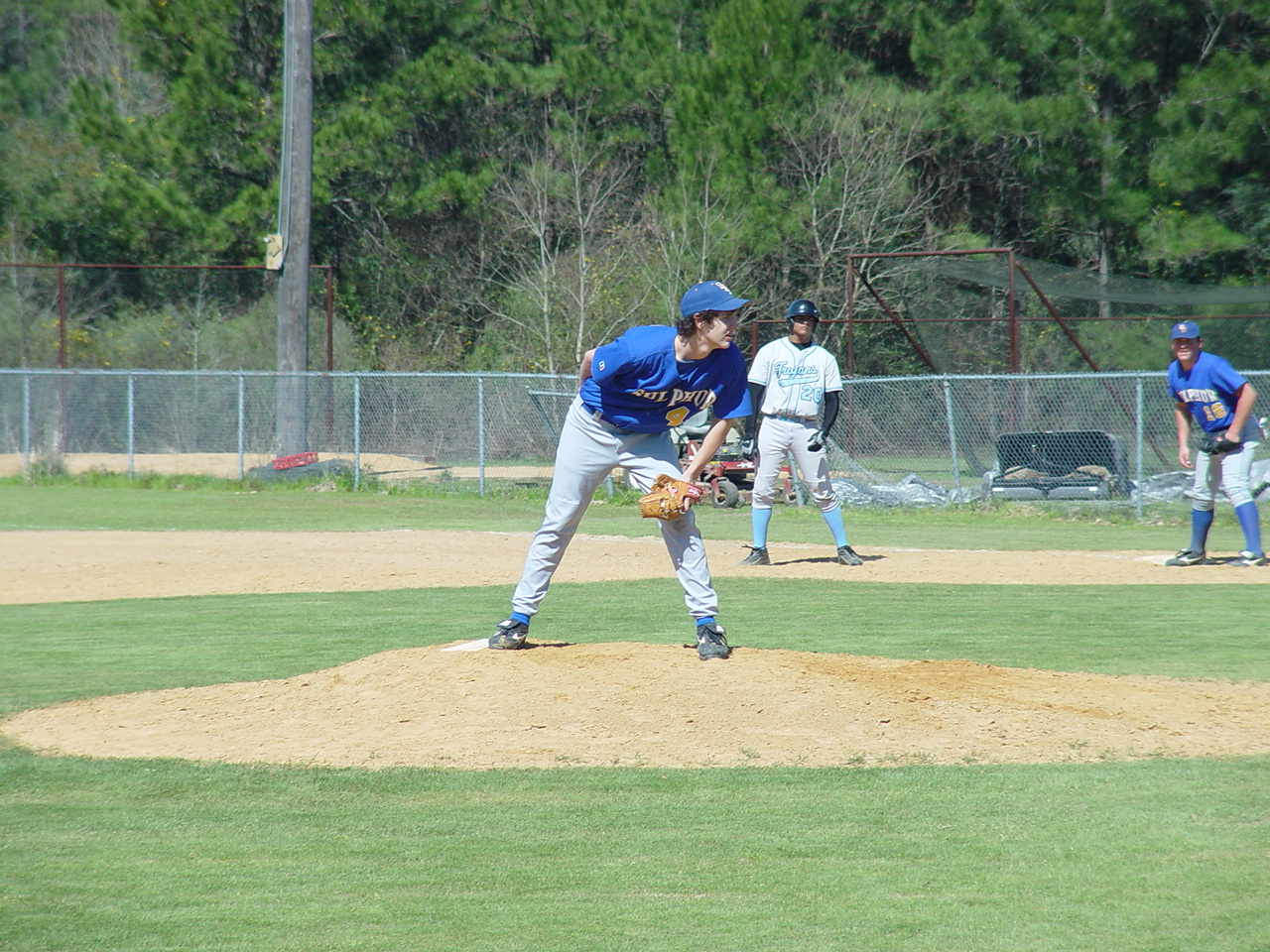
Singer High School campus

In the Bible belt
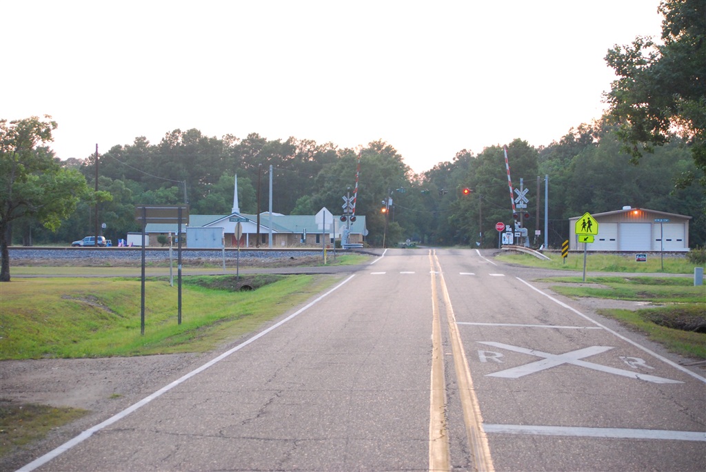
The blinking light of Singer
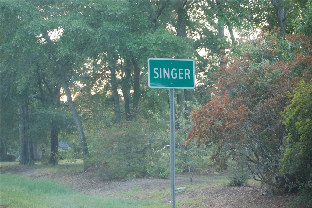
The Singer sign

Faith Worship Center
Faith Worship Center

Wedding Day 11.23.06 042
Phillip looking for the sign
Topographic Map of S Smokey Cove Rd, Singer, LA, USA
Find elevation by address:

Places near S Smokey Cove Rd, Singer, LA, USA:
2396 S Smokey Cove Rd
435 Beehive Loop
Singer
LA-27, Singer, LA, USA
407 Old Seale Rd
183 Buddy Cooper Rd
183 Buddy Cooper Rd
121 Foghorn Dr
896 S A Cooley Rd
144 Cypress St
Ivan Gimnick Road
Longville
1349 Rosie Hollie Rd
1445 Hargrove Loop
1445 Hargrove Loop
952 Jim West Rd
Pierce Road
Pilgrim Rest Road
635 Longville Acres Rd
1195 La-389
Recent Searches:
- Elevation of Formby Ct, Myrtle Beach, SC, USA
- Elevation of Hobbyhorse Ct, Dover, DE, USA
- Elevation of Horseshoe Ln, Dahlonega, GA, USA
- Elevation of Village Point Dr, Daphne, AL, USA
- Elevation map of Kabardino-Balkarian Republic, Russia
- Elevation of Tyrnyauz, Kabardino-Balkarian Republic, Russia
- Elevation of Sunset Dr, Hernando, MS, USA
- Elevation of Lake Rotoroa, Tasman, New Zealand
- Elevation of George St, New Bern, NC, USA
- Elevation of Cove Rd, Jasper, GA, USA