Elevation of Ragley, LA, USA
Location: United States > Louisiana > Beauregard Parish > 4a >
Longitude: -93.157887
Latitude: 30.4668137
Elevation: 22m / 72feet
Barometric Pressure: 101KPa
Elevation Map:
Satellite Map:
Related Photos:

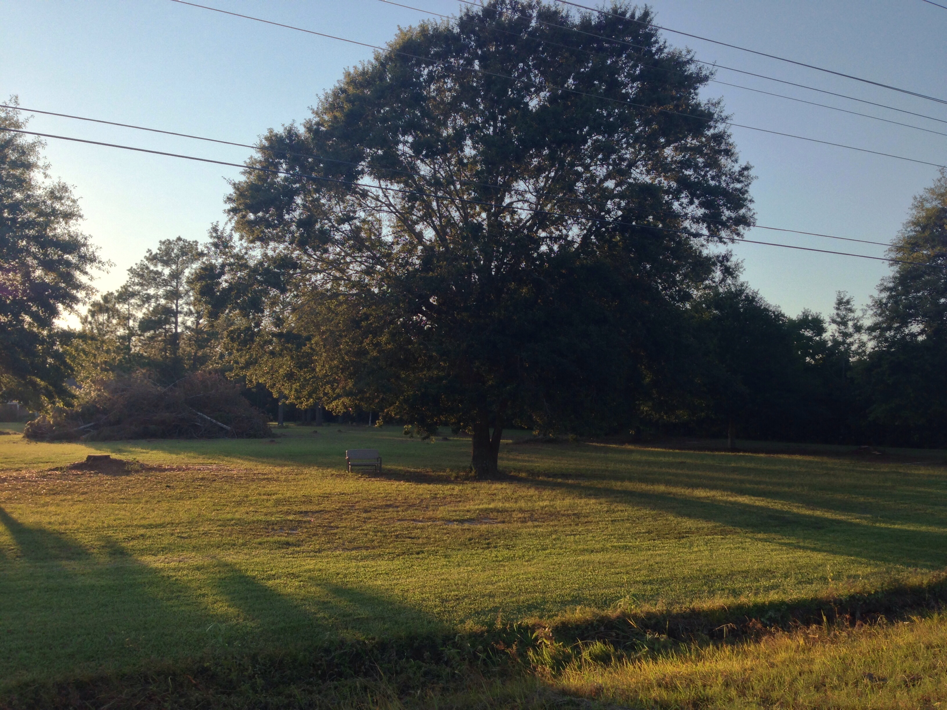
Backwoods Living

Altered Perception
Take a Walk
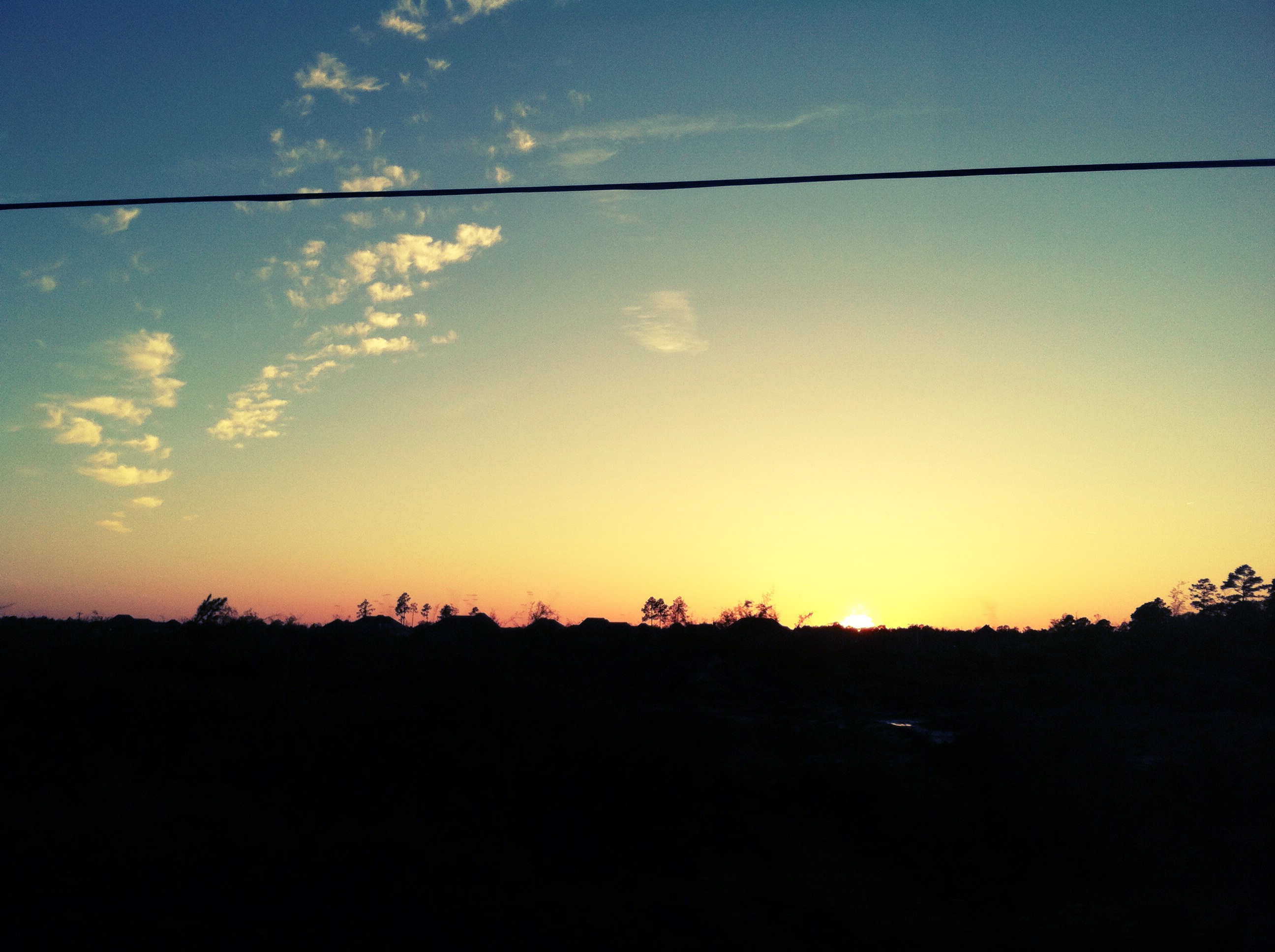
Clouds--sunset--turtle

Jozlyn and Lezlie

Sabrina and Lezlie
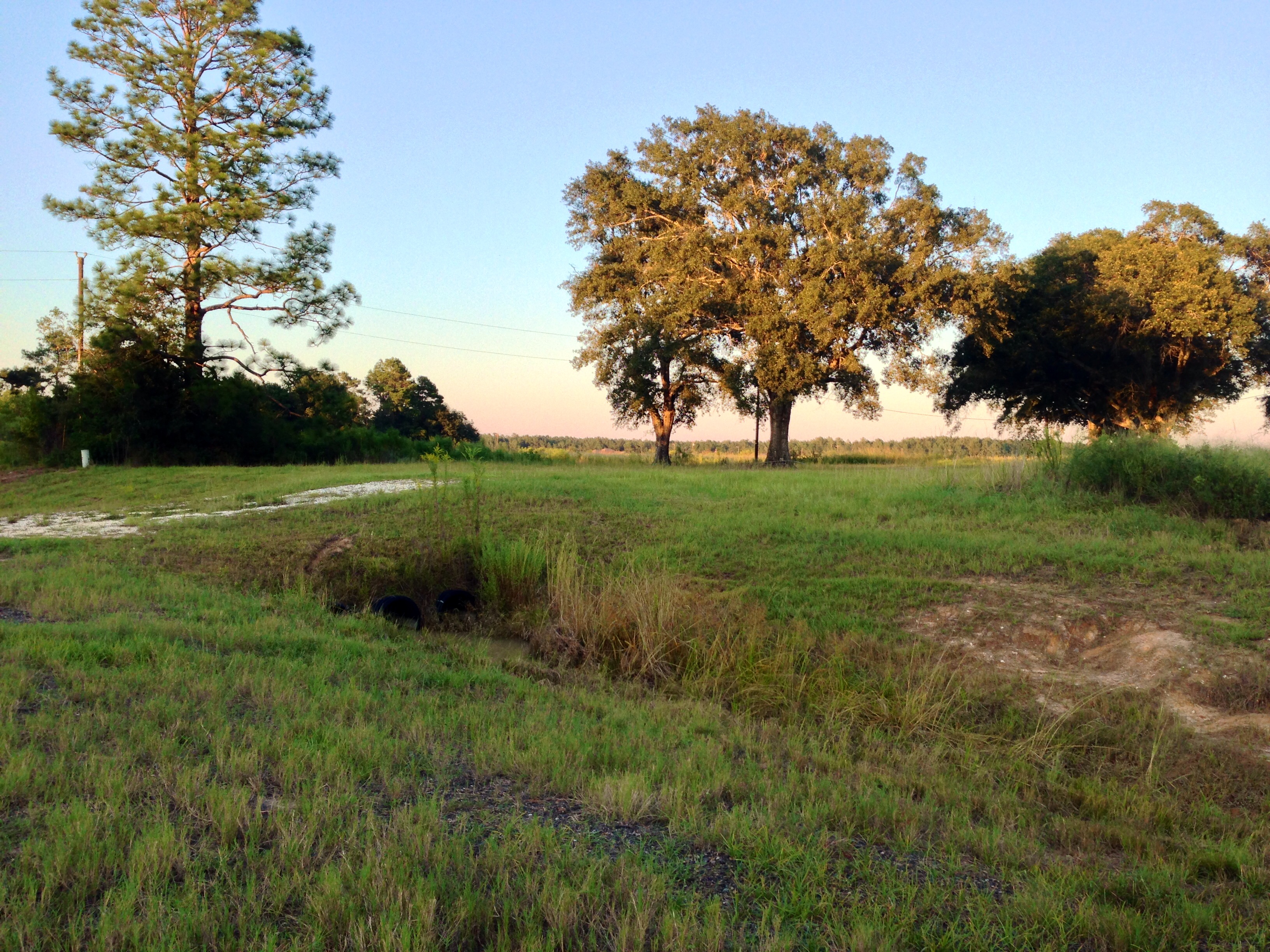
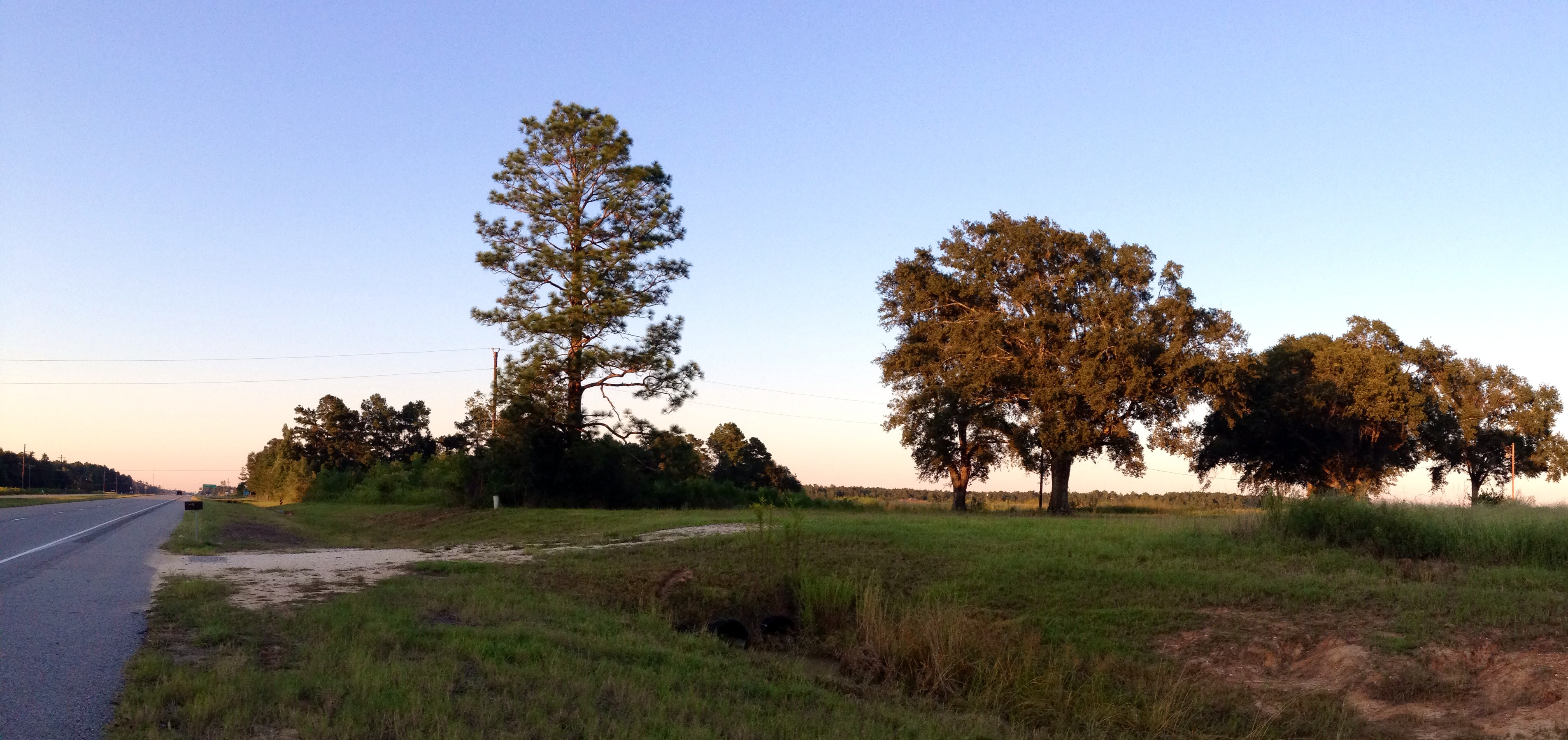
Country Road Beauty

Country Living
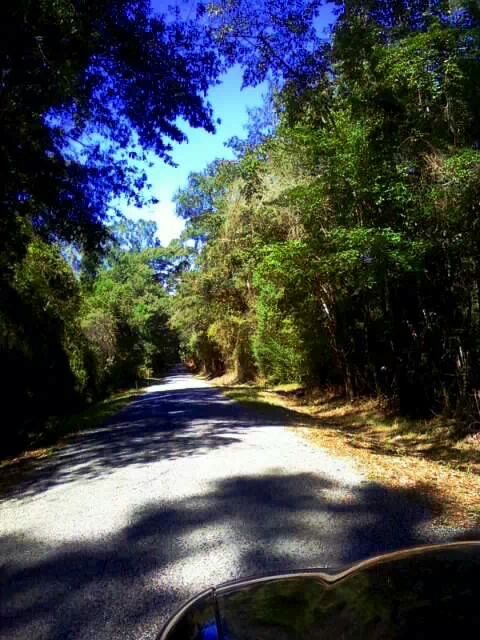
Take a Walk

Take a Walk
Take a Walk

Clouds--sunset--turtle

Clouds--sunset--turtle
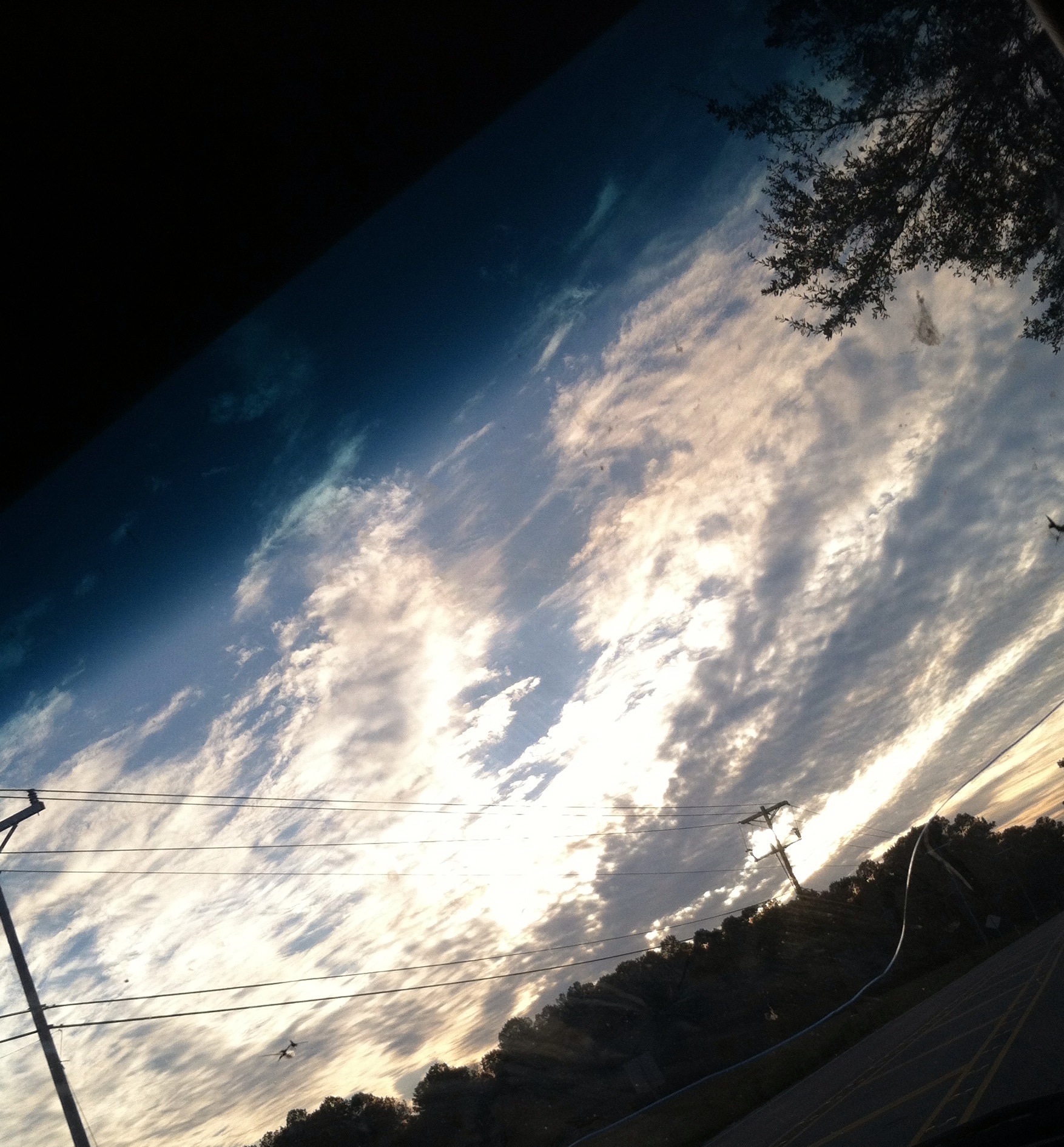
Clouds--sunset--turtle

Clouds--sunset--turtle

Clouds--sunset--turtle
Maybe All You Needed Was Some Time for Quiet Contemplation

Waiting for cake
Phillip looking for the sign
Topographic Map of Ragley, LA, USA
Find elevation by address:

Places near Ragley, LA, USA:
2107 Magnolia Church Rd
270 Allen-dale Rd
14765 Us-171
15870 Us-171
Topsy Road
Hunt Road
Ragley
Topsy Bel Rd, Lake Charles, LA, USA
4a
1737 Birdnest Rd
346 Wildflower Ln
3191 Mesa Ln
Ned Smith Road
US-, Reeves, LA, USA
Reeves
7, LA, USA
2421 Northern Dr
4674 Hickory Branch Rd
2643 Southern Dr
Panhandle Road
Recent Searches:
- Elevation of Congressional Dr, Stevensville, MD, USA
- Elevation of Bellview Rd, McLean, VA, USA
- Elevation of Stage Island Rd, Chatham, MA, USA
- Elevation of Shibuya Scramble Crossing, 21 Udagawacho, Shibuya City, Tokyo -, Japan
- Elevation of Jadagoniai, Kaunas District Municipality, Lithuania
- Elevation of Pagonija rock, Kranto 7-oji g. 8"N, Kaunas, Lithuania
- Elevation of Co Rd 87, Jamestown, CO, USA
- Elevation of Tenjo, Cundinamarca, Colombia
- Elevation of Côte-des-Neiges, Montreal, QC H4A 3J6, Canada
- Elevation of Bobcat Dr, Helena, MT, USA