Elevation of Cotton Row, Nahunta, GA, USA
Location: United States > Georgia > Brantley County > Nahunta >
Longitude: -82.004461
Latitude: 31.1560546
Elevation: 19m / 62feet
Barometric Pressure: 101KPa
Elevation Map:
Satellite Map:
Related Photos:

Regular/Irregular

Nahunta_GA-54

Nahunta_GA-108

Nahunta_GA-145

Satilla River

Nahunta_GA-140
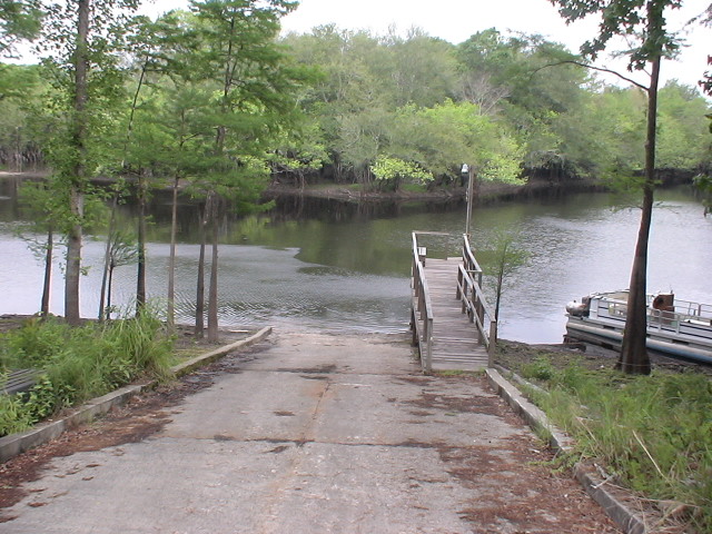
Brantley 140 boat ramp
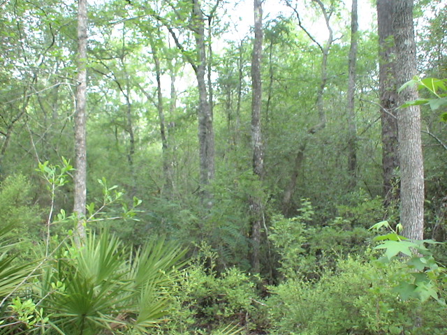
Brantley 140 transition

Brantley 140 acres

Dark Passages
Topographic Map of Cotton Row, Nahunta, GA, USA
Find elevation by address:

Places near Cotton Row, Nahunta, GA, USA:
Nahunta, GA, USA
Brantley County
7618 Britt Still Rd
6086 Caney Bay Rd
Nahunta
Raybon Rd W, Nahunta, GA, USA
255 Harvest Rd
Satilla River
US-, Folkston, GA, USA
Raybon Rd E, Nahunta, GA, USA
Hoboken
Brantley Ave, Hoboken, GA, USA
67 4th Ave
County Rd, Nahunta, GA, USA
13 Happy Landing Rd, Waynesville, GA, USA
5110 Taylor Rd
17583 Rd 230
Atkinson
GA-, Hortense, GA, USA
Brushy Creek Road
Recent Searches:
- Elevation of 2 Henschke Ct, Caboolture QLD, Australia
- Elevation of Redondo Ave, Long Beach, CA, USA
- Elevation of Sadovaya Ulitsa, 20, Rezh, Sverdlovskaya oblast', Russia
- Elevation of Ulitsa Kalinina, 79, Rezh, Sverdlovskaya oblast', Russia
- Elevation of 72-31 Metropolitan Ave, Middle Village, NY, USA
- Elevation of 76 Metropolitan Ave, Brooklyn, NY, USA
- Elevation of Alisal Rd, Solvang, CA, USA
- Elevation of Vista Blvd, Sparks, NV, USA
- Elevation of 15th Ave SE, St. Petersburg, FL, USA
- Elevation of Beall Road, Beall Rd, Florida, USA