Elevation of Commerce Street, Commerce St, Tunnelton, WV, USA
Location: United States > West Virginia > Preston County > Fifth > Tunnelton >
Longitude: -79.745630
Latitude: 39.3903872
Elevation: 579m / 1900feet
Barometric Pressure: 95KPa
Elevation Map:
Satellite Map:
Related Photos:

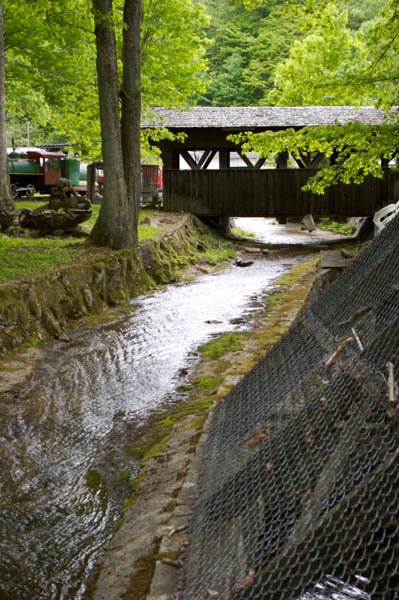
Cool Springs Park, Mountain View, WV
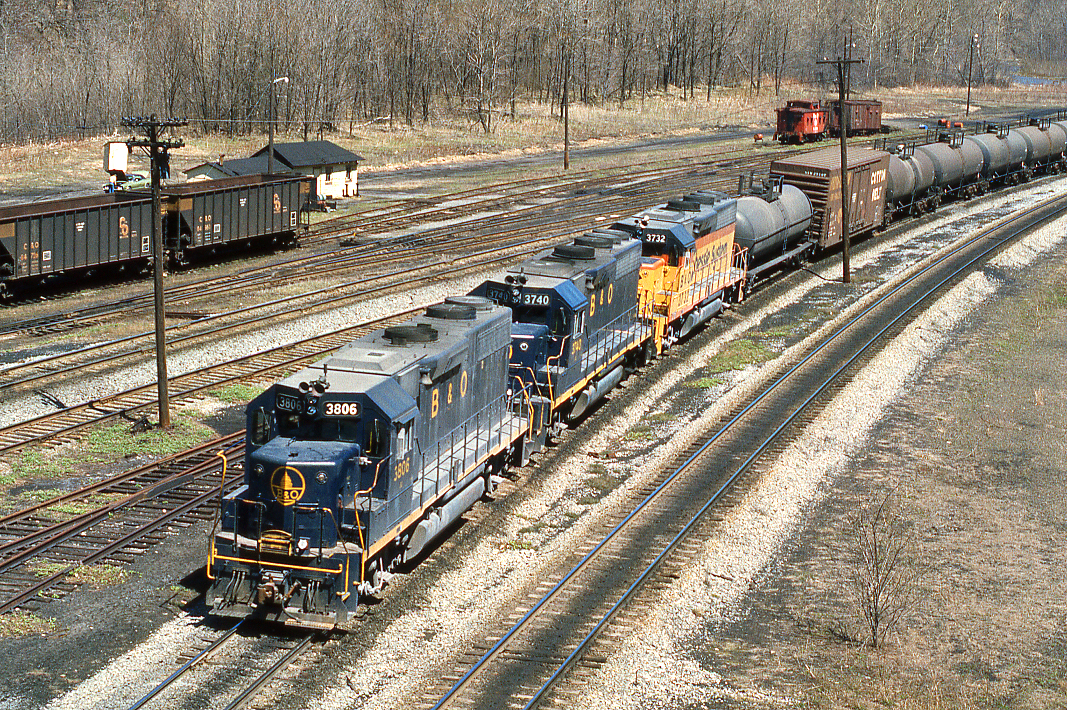
1977 04-09 1220 B&O-CS GP38-3806 W/B at Rowlesburg,WV
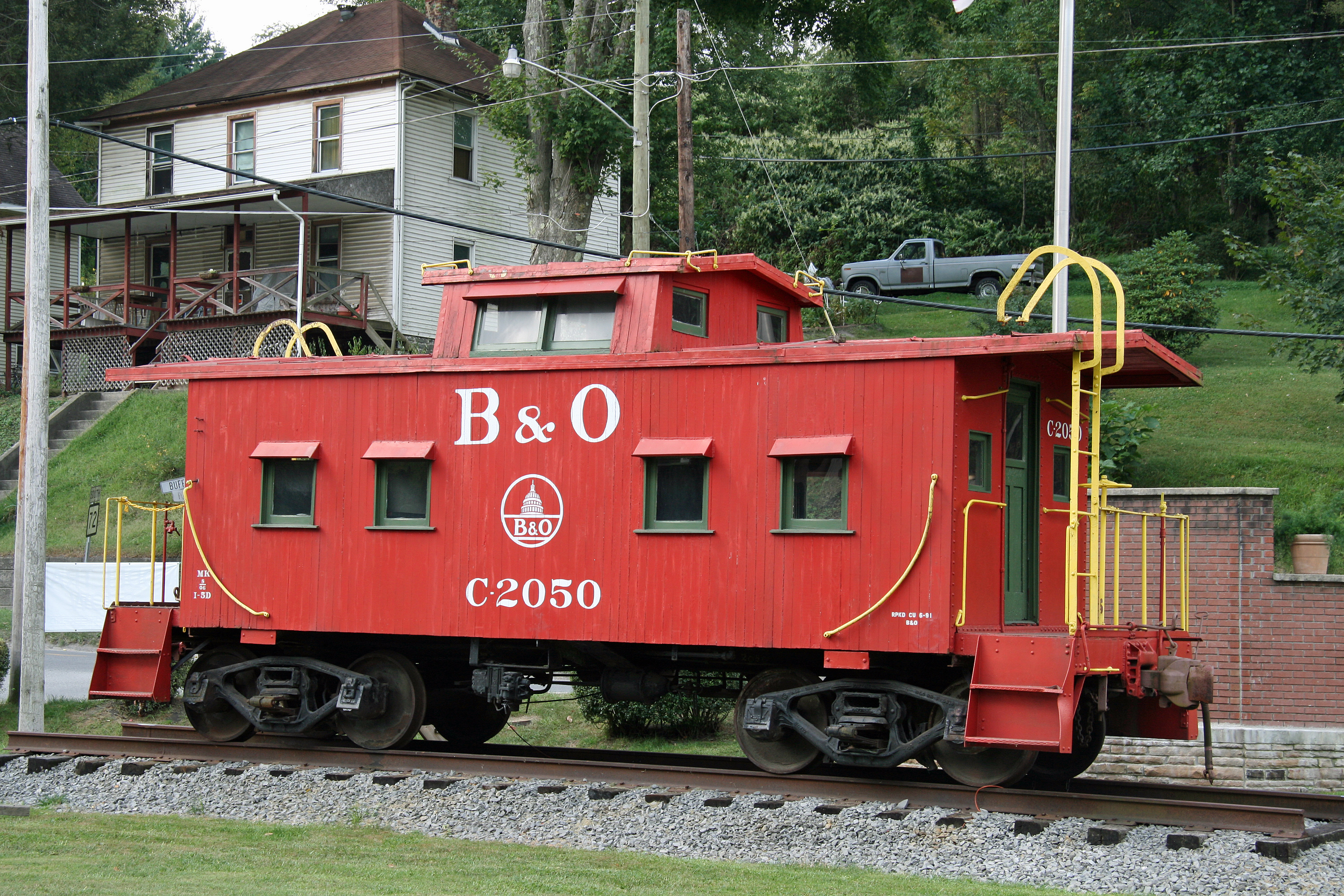
B&O Caboose - Rowlesburg, WV
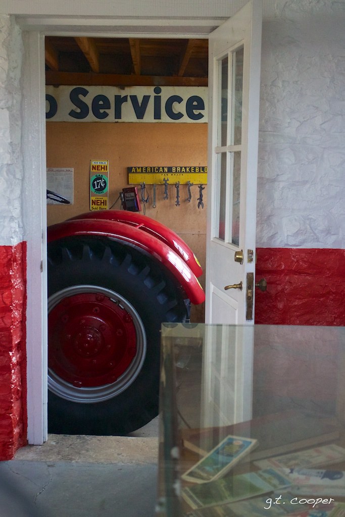
Arthurdale Esso Station

Cool Springs Park, Mountain View, WV

unidentified toothed mushroom, side view

B&O Buckhorn Wall on Cheat River grade WV 1964
Dog Run Road/Seven Islands Road
B&O
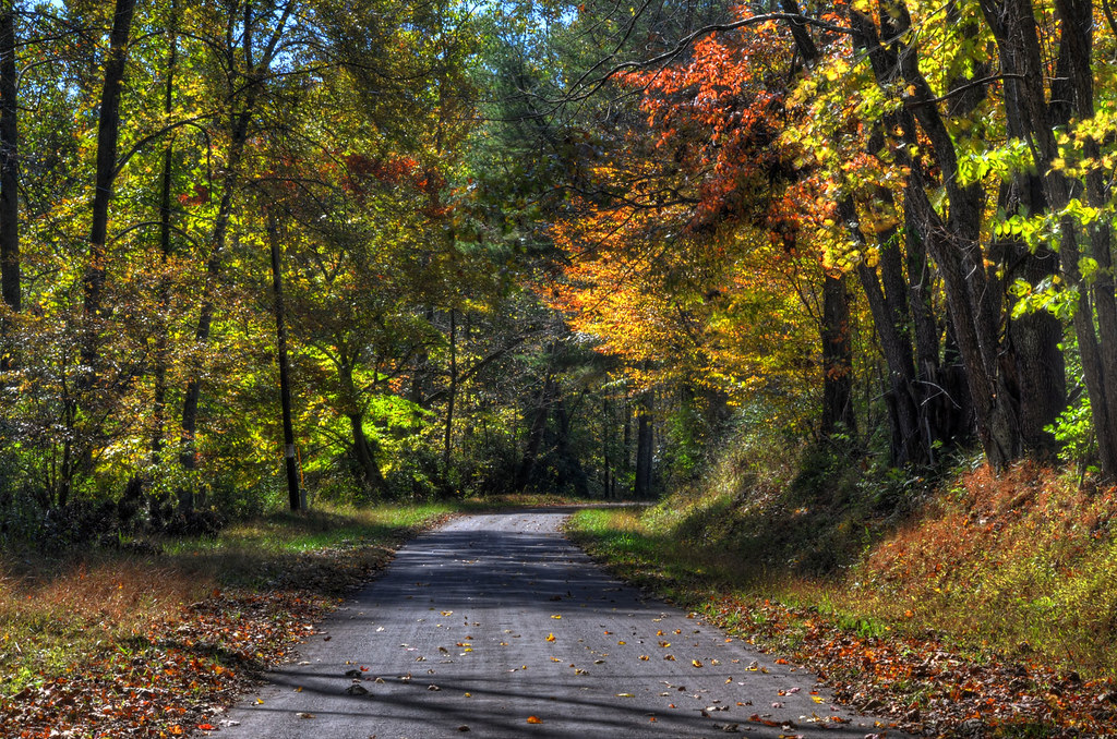
Good morning, autumn
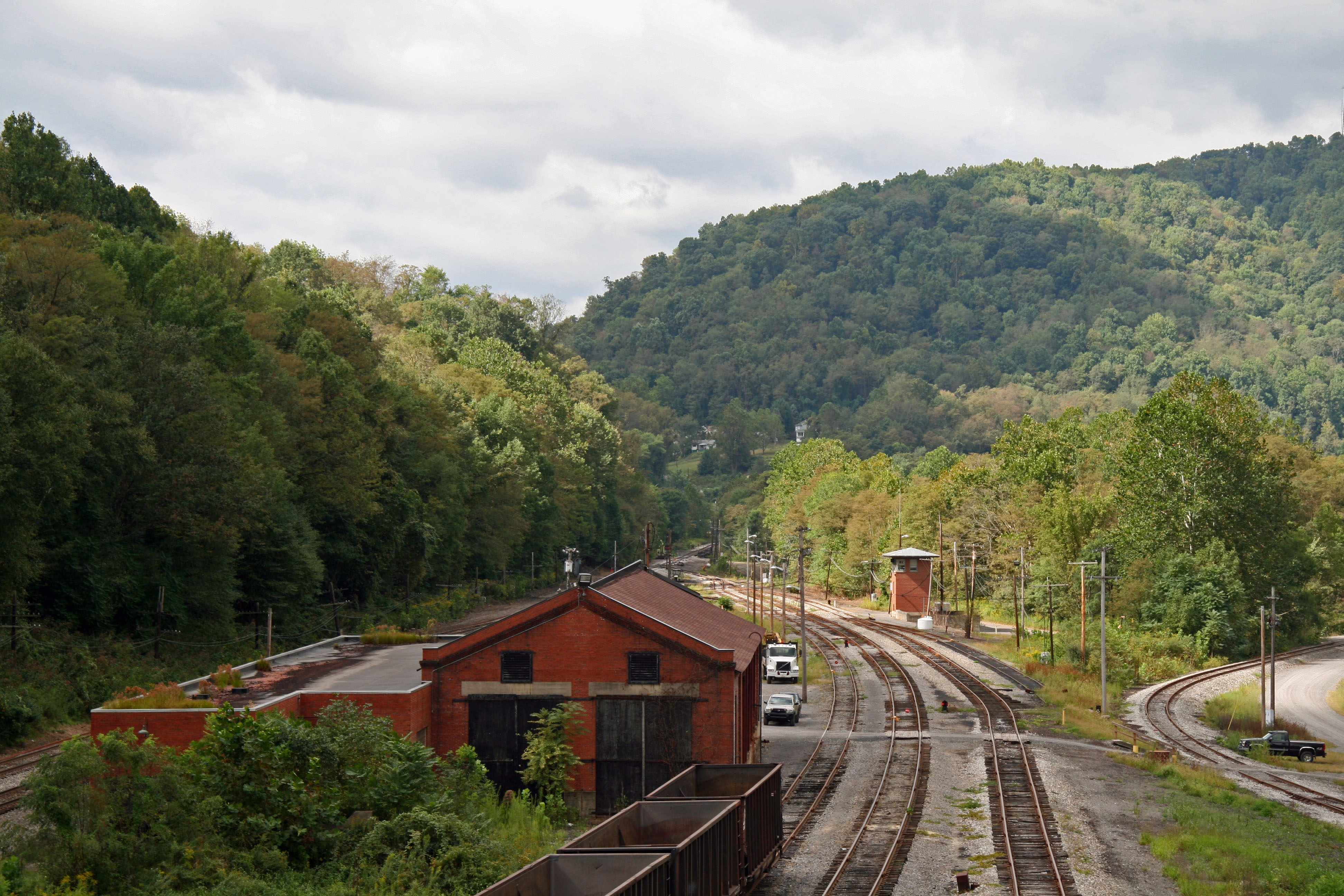
Another Tower Gone
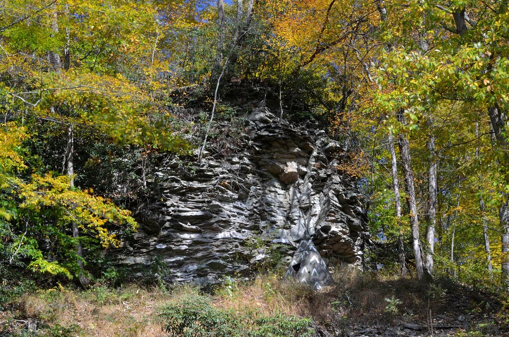
Crazy Cliff (Explored)

Heading Toward Winter

Hipsta Milkweed
Fairfax Pond-Rehe Wildlife Management Area
Deckers Creek Trail

In That Direction
Deckers Creek Trail 10

Cheat River Morning
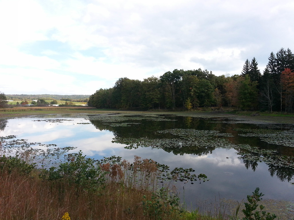
Upper Deckers Creek pond
Blackwater Falls Trip
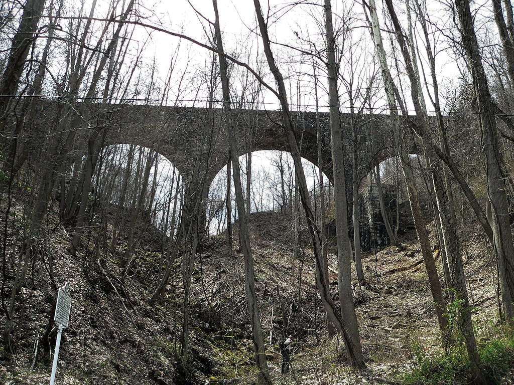
baltimore and ohio viaduct

WV camping
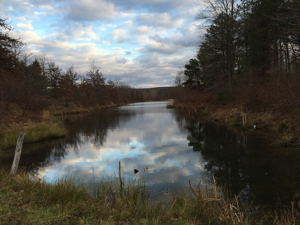
Upper Deckers Creek WMA
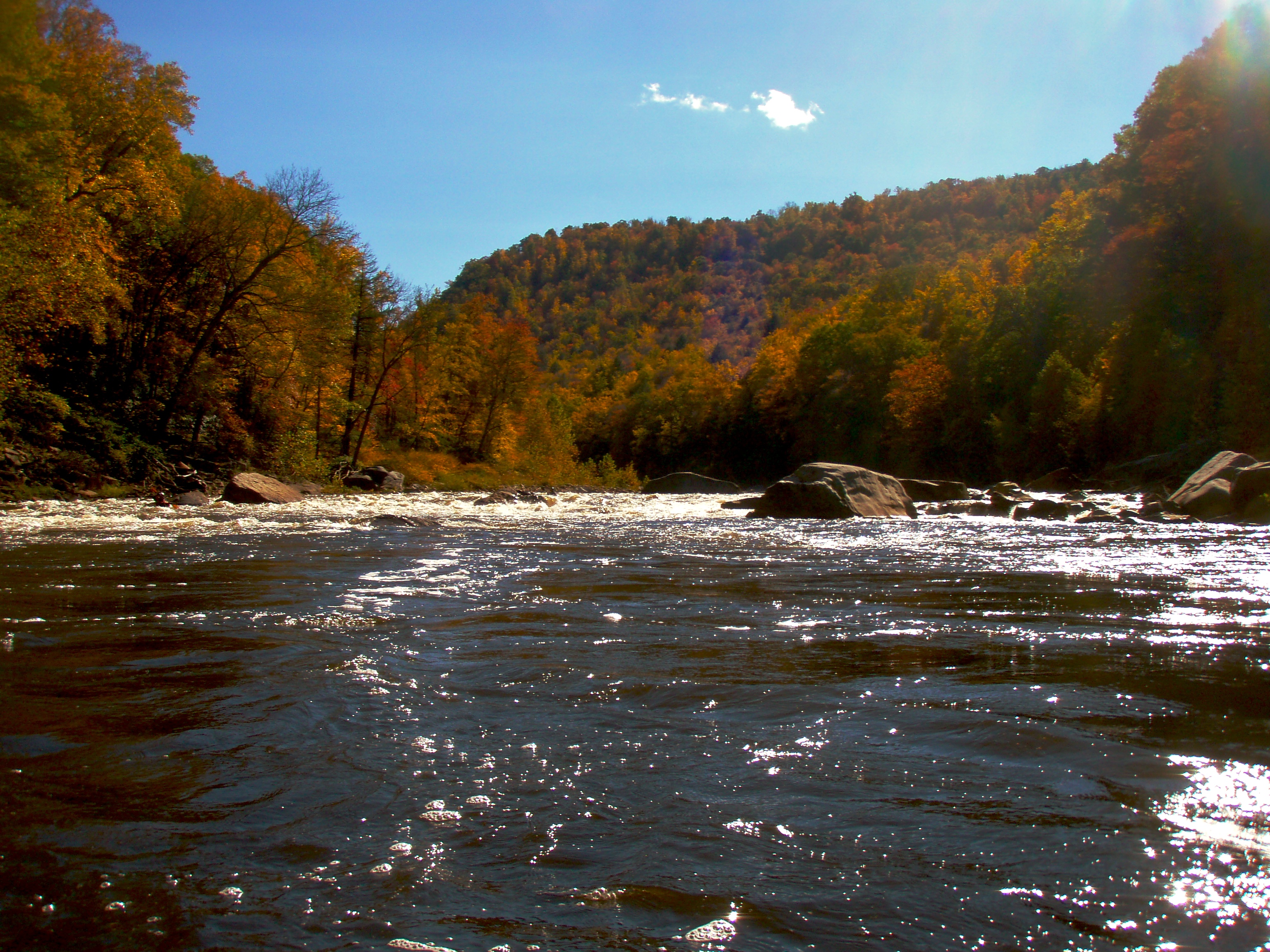
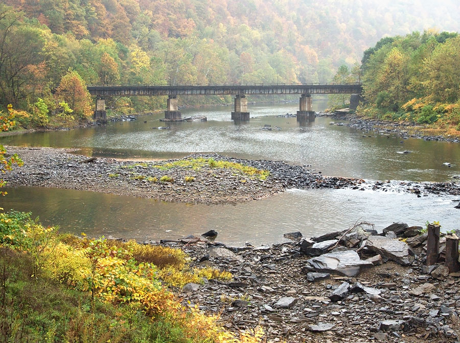
Fall trip down the Cheat
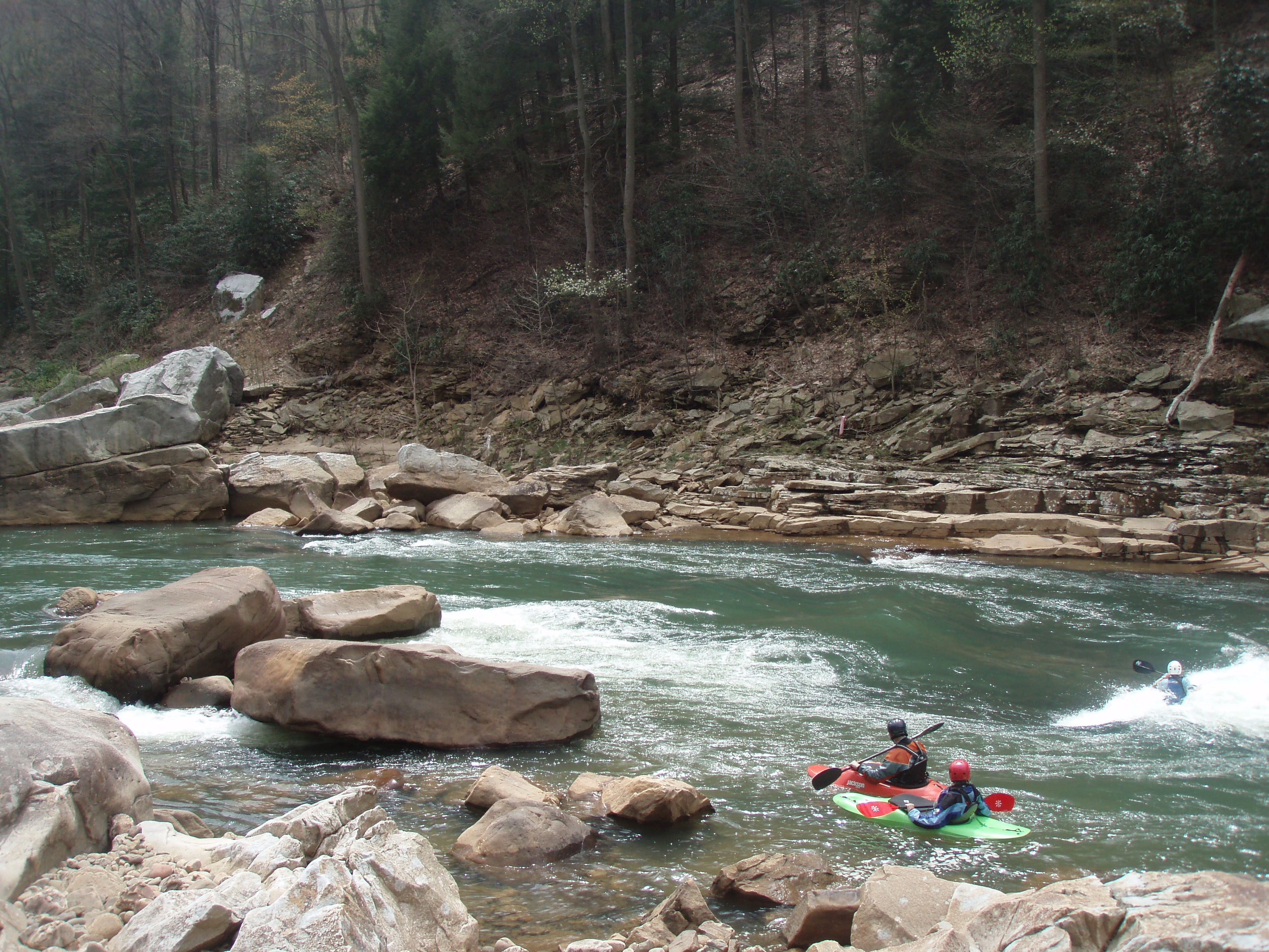
Spring trip down the Cheat Canyon at 2 feet
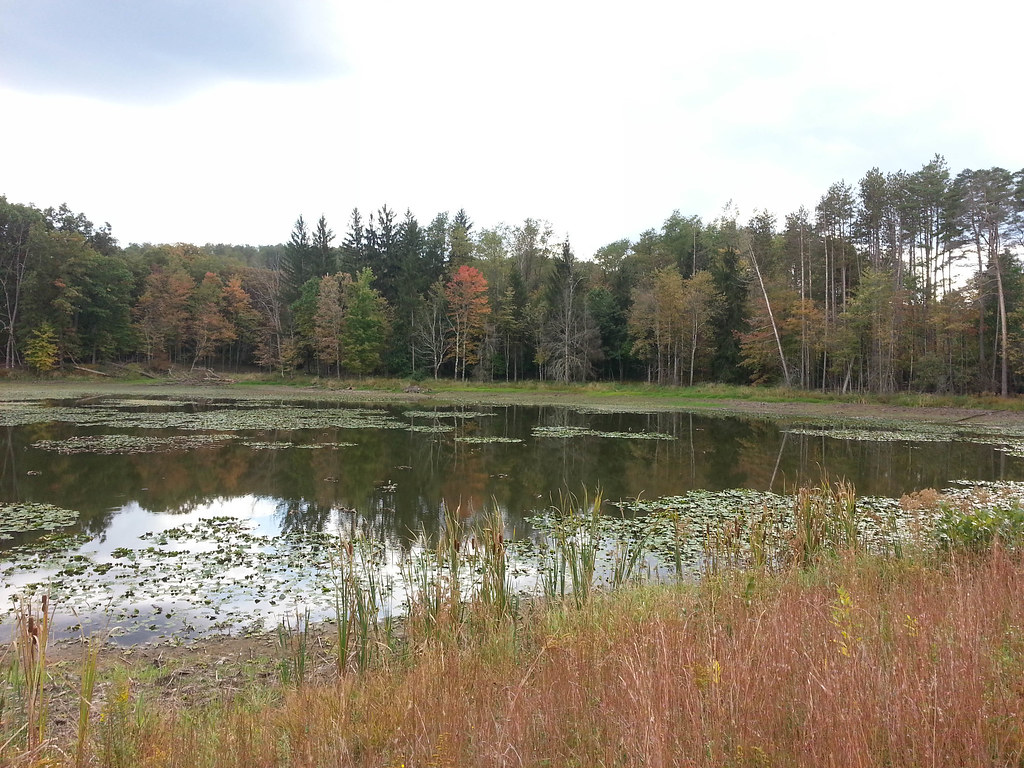
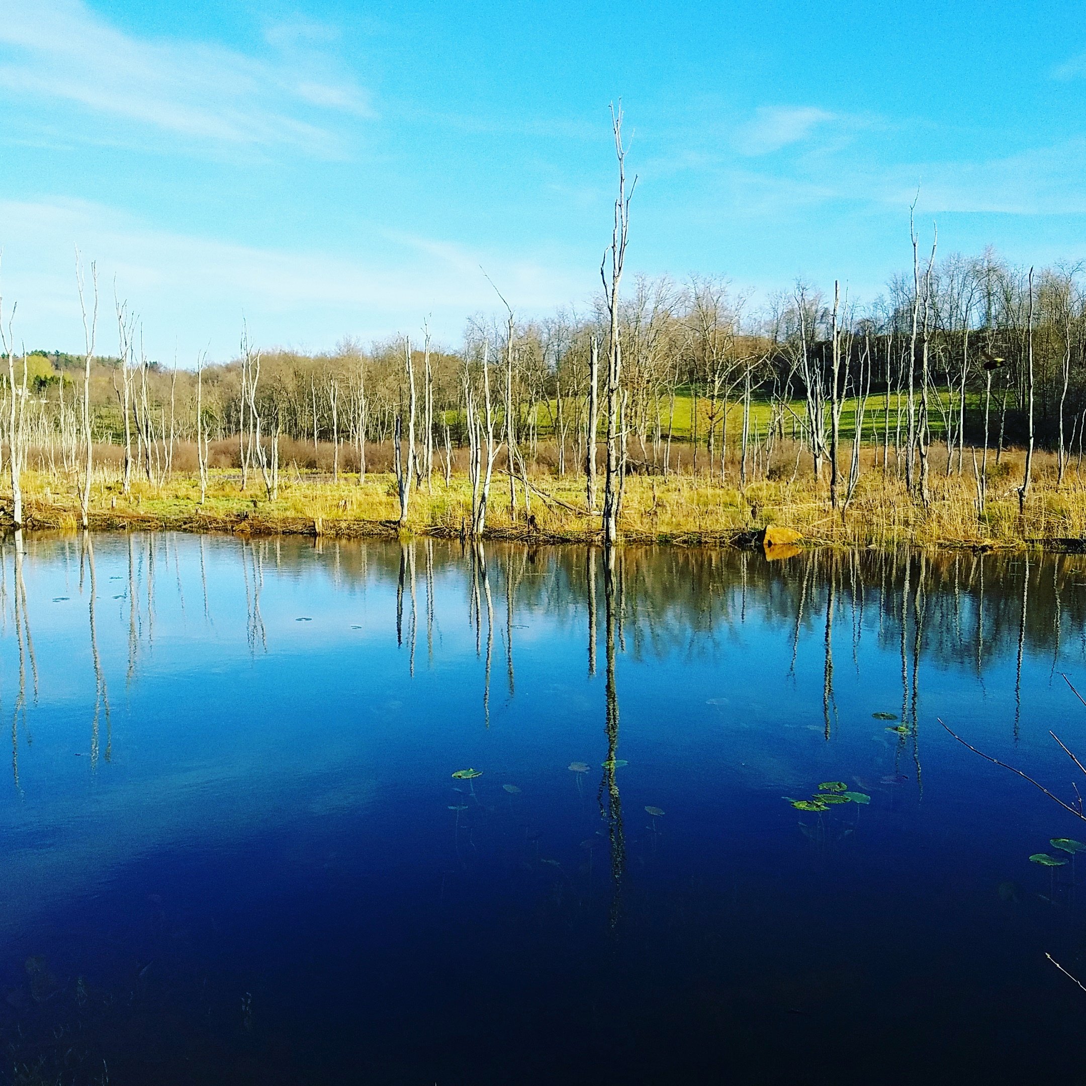
Upper Deckers Creek WMA
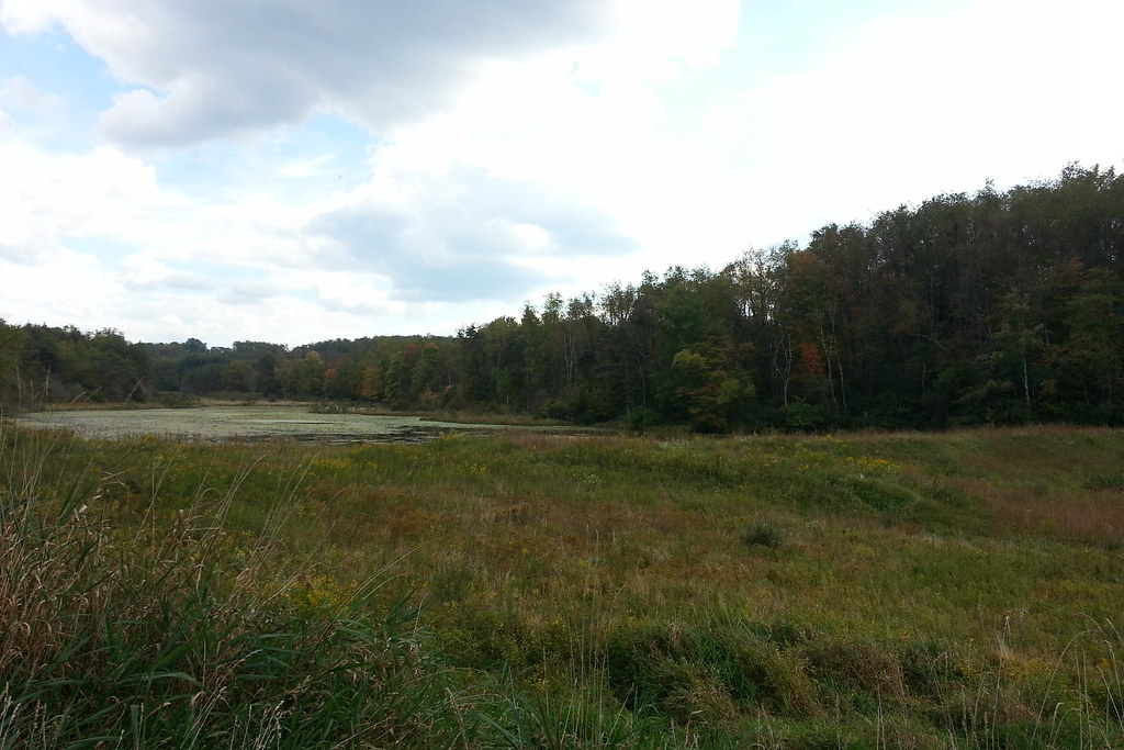
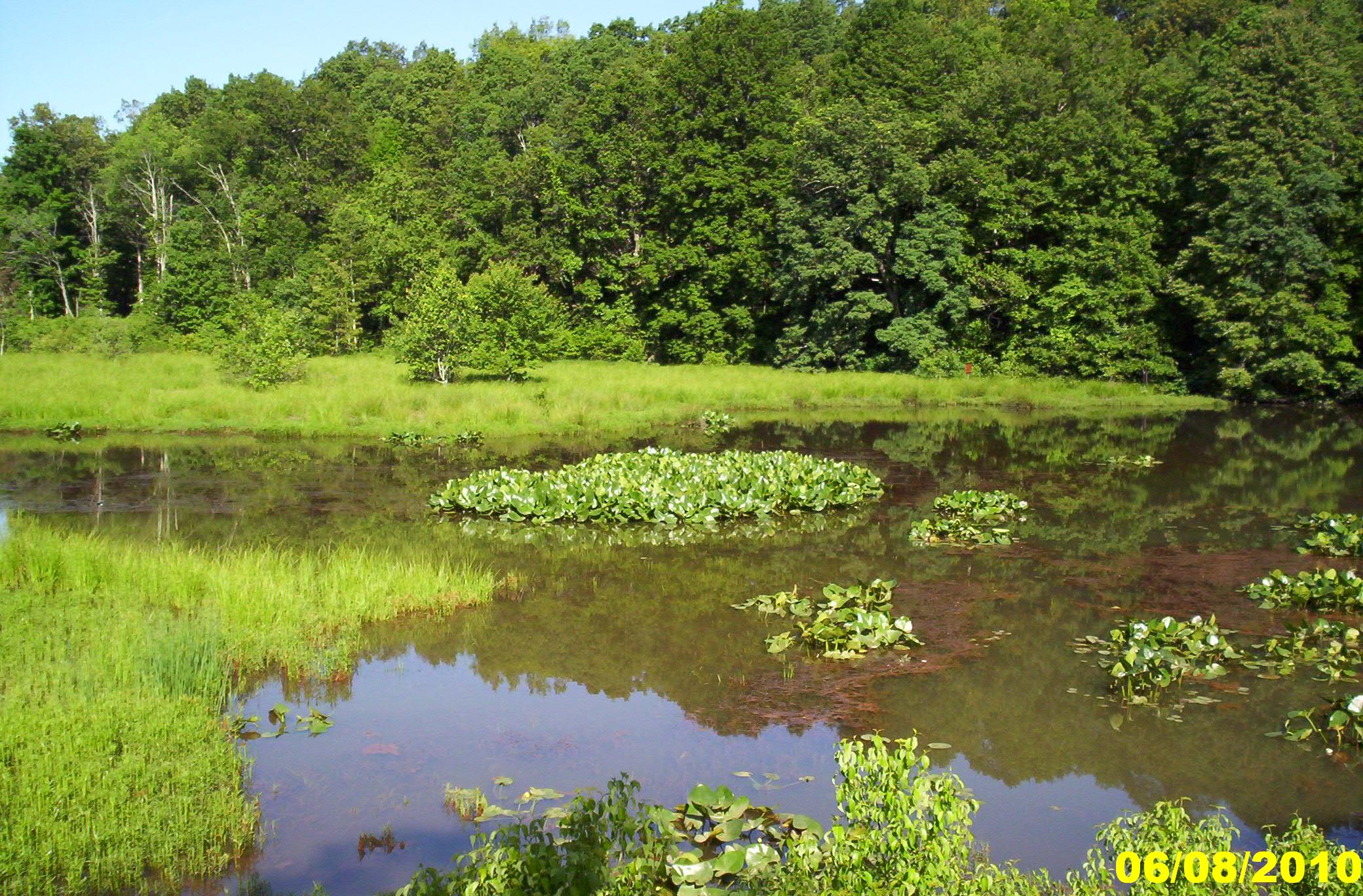
Upper Deckers Creek WMA
Topographic Map of Commerce Street, Commerce St, Tunnelton, WV, USA
Find elevation by address:

Places near Commerce Street, Commerce St, Tunnelton, WV, USA:
Tunnelton
78 Co Rte 26/69
78 Co Rte 26/69
Fortney
2811 Birds Creek Rd
124 St Joseph Church Rd
Saint Josephs Church
910 St Joseph Church Rd
Pell Road
Kingwood
Preston County
31 Larue Ave
3 Seemont Dr
Reedsville
Albright
1746 Long Hollow Rd
65 Crane School Rd E, Albright, WV, USA
Herring Rd, Masontown, WV, USA
155 Molly Ln
155 Co Rte 7/23
Recent Searches:
- Elevation of Lampiasi St, Sarasota, FL, USA
- Elevation of Elwyn Dr, Roanoke Rapids, NC, USA
- Elevation of Congressional Dr, Stevensville, MD, USA
- Elevation of Bellview Rd, McLean, VA, USA
- Elevation of Stage Island Rd, Chatham, MA, USA
- Elevation of Shibuya Scramble Crossing, 21 Udagawacho, Shibuya City, Tokyo -, Japan
- Elevation of Jadagoniai, Kaunas District Municipality, Lithuania
- Elevation of Pagonija rock, Kranto 7-oji g. 8"N, Kaunas, Lithuania
- Elevation of Co Rd 87, Jamestown, CO, USA
- Elevation of Tenjo, Cundinamarca, Colombia