Elevation of 65 Crane School Rd E, Albright, WV, USA
Location: United States > West Virginia > Preston County > Fourth > Albright >
Longitude: -79.632363
Latitude: 39.489484
Elevation: 377m / 1237feet
Barometric Pressure: 97KPa
Elevation Map:
Satellite Map:
Related Photos:

1977 04-09 1220 B&O-CS GP38-3806 W/B at Rowlesburg,WV

Arthurdale Esso Station

All Good 2010 77

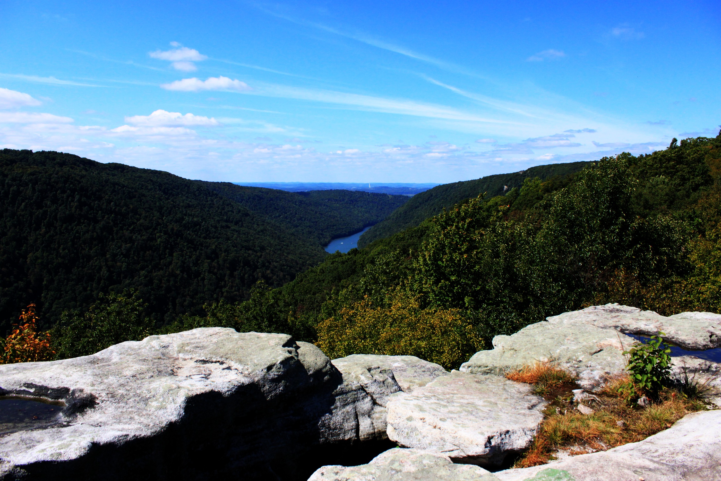
WEST VIRGINIA : Cooper Rock
Bridge over Big Sandy Creek, Rockville, WV
view from the Terra Alta Pike

Another view
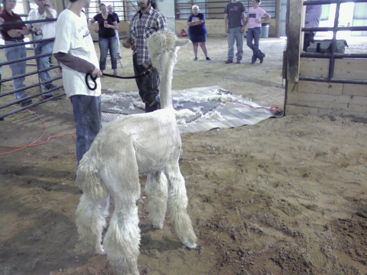
Pedro view from behind after shearing

Allgood view

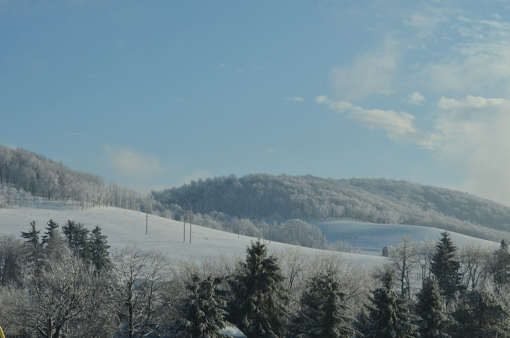
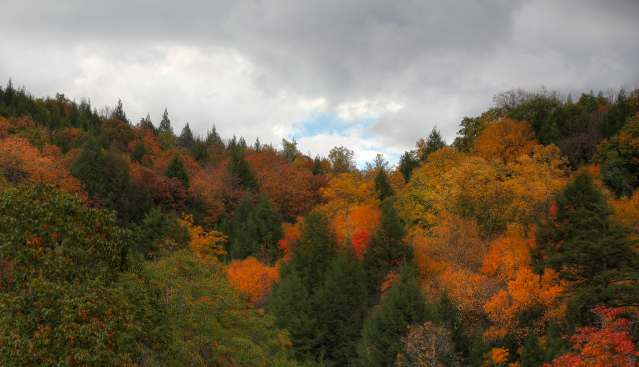
Heading Toward Winter

rekphoto-10062012-063
Cranesville Swamp Pine Trail - HDR
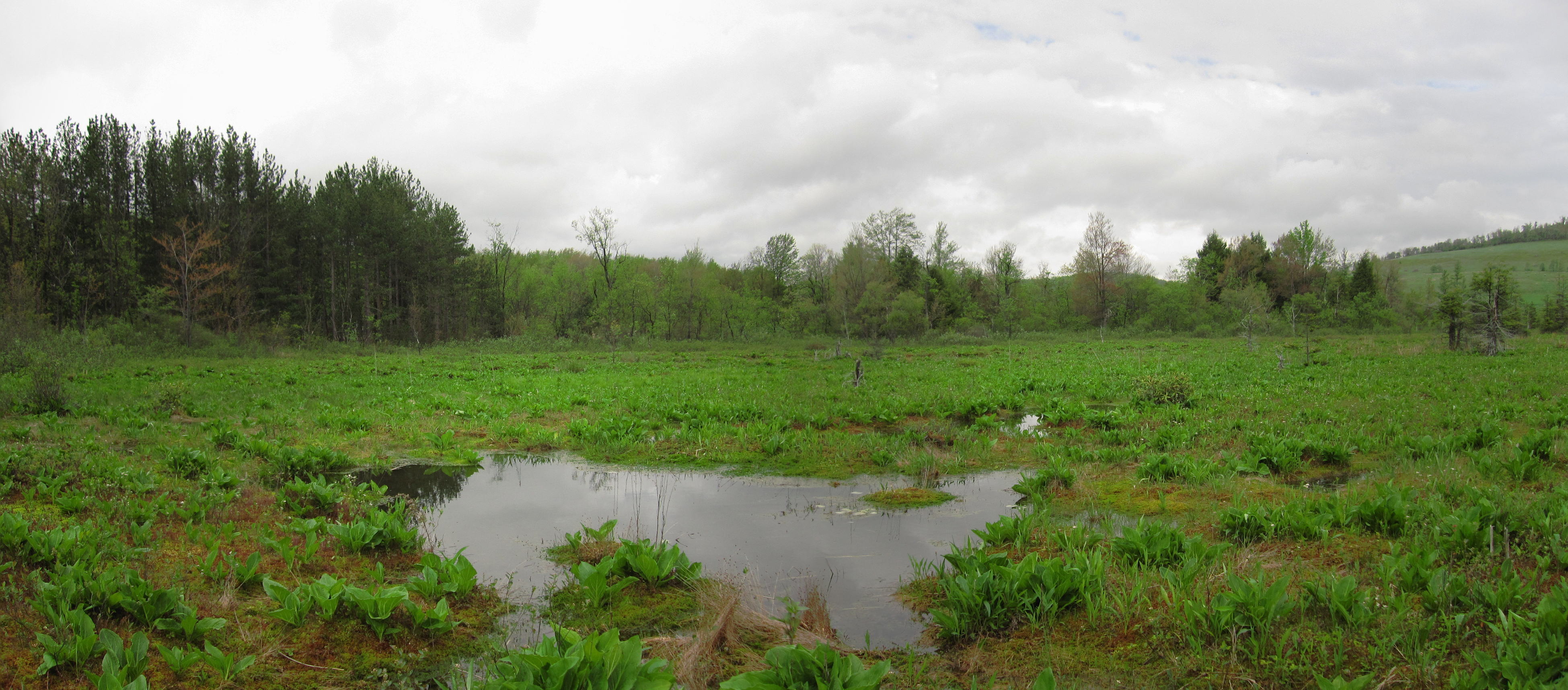
Cranesville Swamp
Deckers Creek Trail

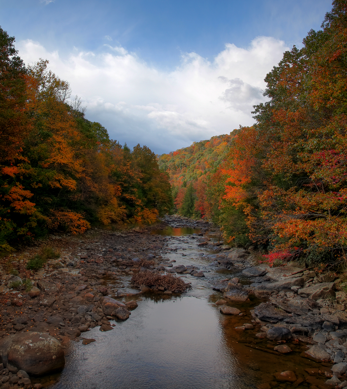
the falls of muddy creek

Hipsta Milkweed

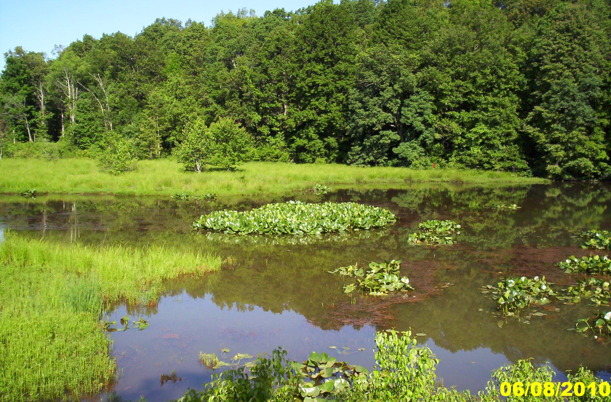
Fairfax Pond-Rehe Wildlife Management Area
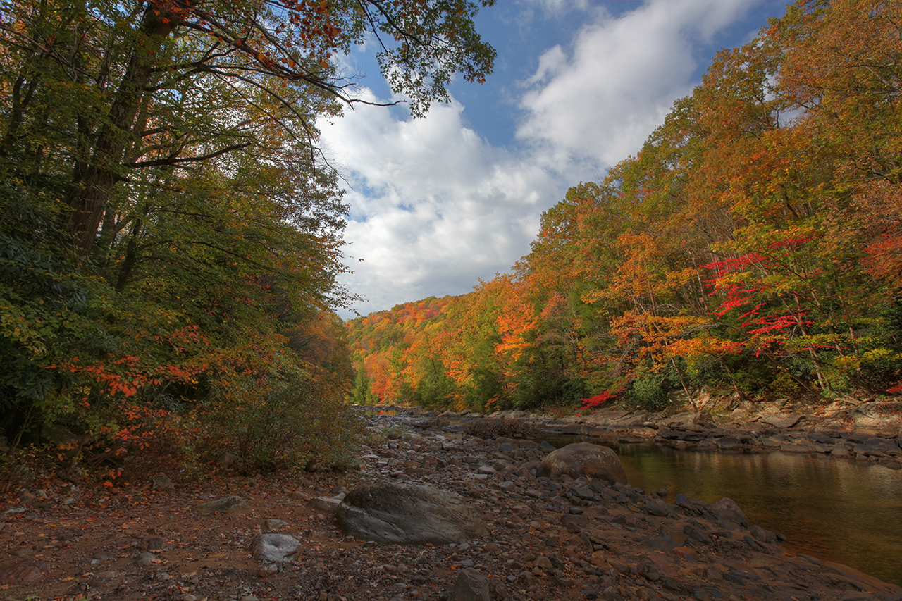
cheat river valley
Deckers Creek Trail 10

Smooth Carrionflower
B&O

George Walls Rd, Rockville, WV
Big Sandy Creek, Rockville, WV

rekphoto-10062012-058
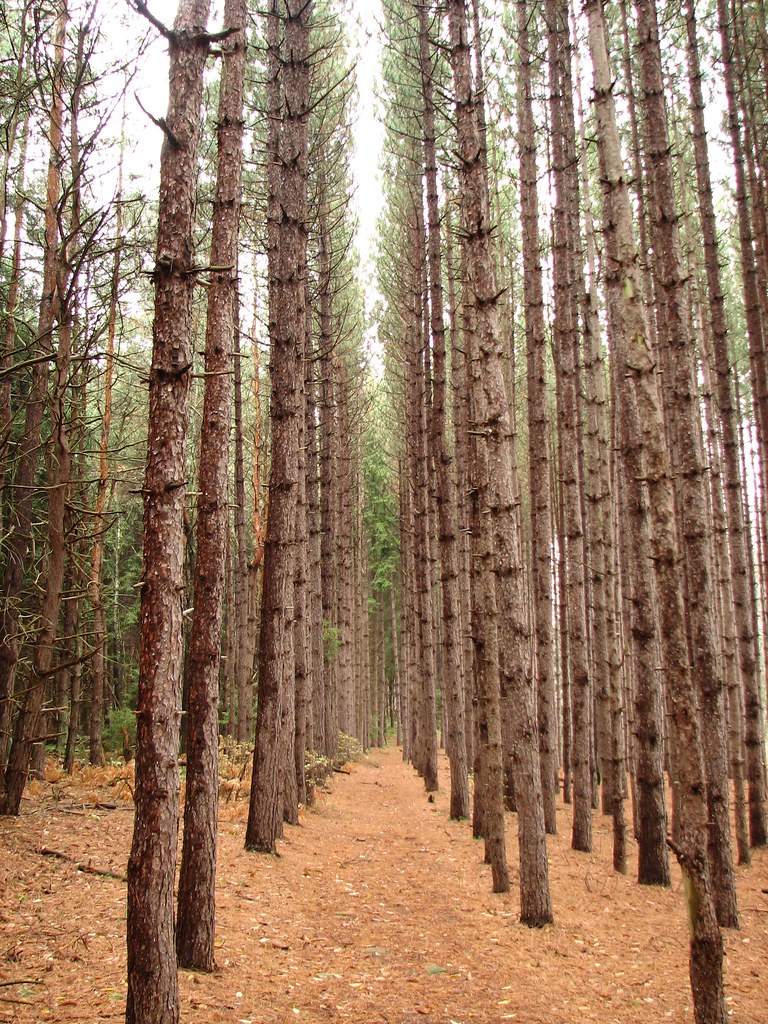
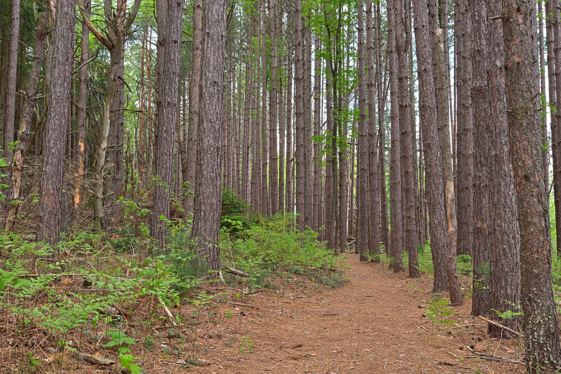
Tall Pines
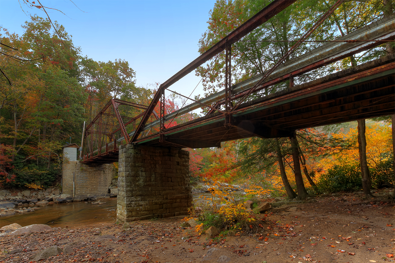
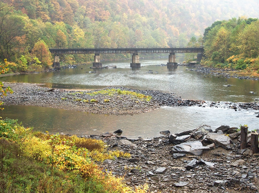
Big Sandy Creek, Rockville, WV
Big Sandy Creek, Rockville, WV
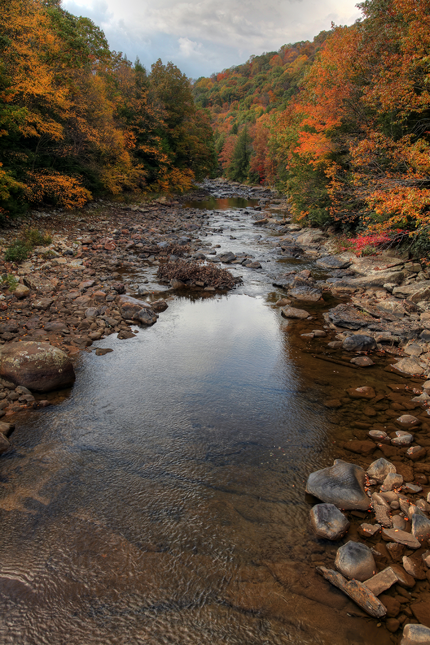
Big Sandy Creek, Rockville, WV

In That Direction
love these =)
Topographic Map of 65 Crane School Rd E, Albright, WV, USA
Find elevation by address:

Places near 65 Crane School Rd E, Albright, WV, USA:
Albright
3 Seemont Dr
31 Larue Ave
Albright, WV, USA
Kingwood
Preston County
2793 Beech Run Rd
244 Lutheran Church Rd
Fourth
6686 Saltlick Rd
Terra Alta
Greggs Knob
Terra Alta, WV, USA
910 St Joseph Church Rd
Herring Rd, Masontown, WV, USA
124 St Joseph Church Rd
Saint Josephs Church
1206 Sisler Rd
Cranesville
Fortney
Recent Searches:
- Elevation of Corso Fratelli Cairoli, 35, Macerata MC, Italy
- Elevation of Tallevast Rd, Sarasota, FL, USA
- Elevation of 4th St E, Sonoma, CA, USA
- Elevation of Black Hollow Rd, Pennsdale, PA, USA
- Elevation of Oakland Ave, Williamsport, PA, USA
- Elevation of Pedrógão Grande, Portugal
- Elevation of Klee Dr, Martinsburg, WV, USA
- Elevation of Via Roma, Pieranica CR, Italy
- Elevation of Tavkvetili Mountain, Georgia
- Elevation of Hartfords Bluff Cir, Mt Pleasant, SC, USA