Elevation of St Joseph Church Rd, Kingwood, WV, USA
Location: United States > West Virginia > Preston County > Kingwood >
Longitude: -79.746651
Latitude: 39.457481
Elevation: 635m / 2083feet
Barometric Pressure: 94KPa
Elevation Map:
Satellite Map:
Related Photos:

WEST VIRGINIA : Cooper Rock

Arthurdale Esso Station
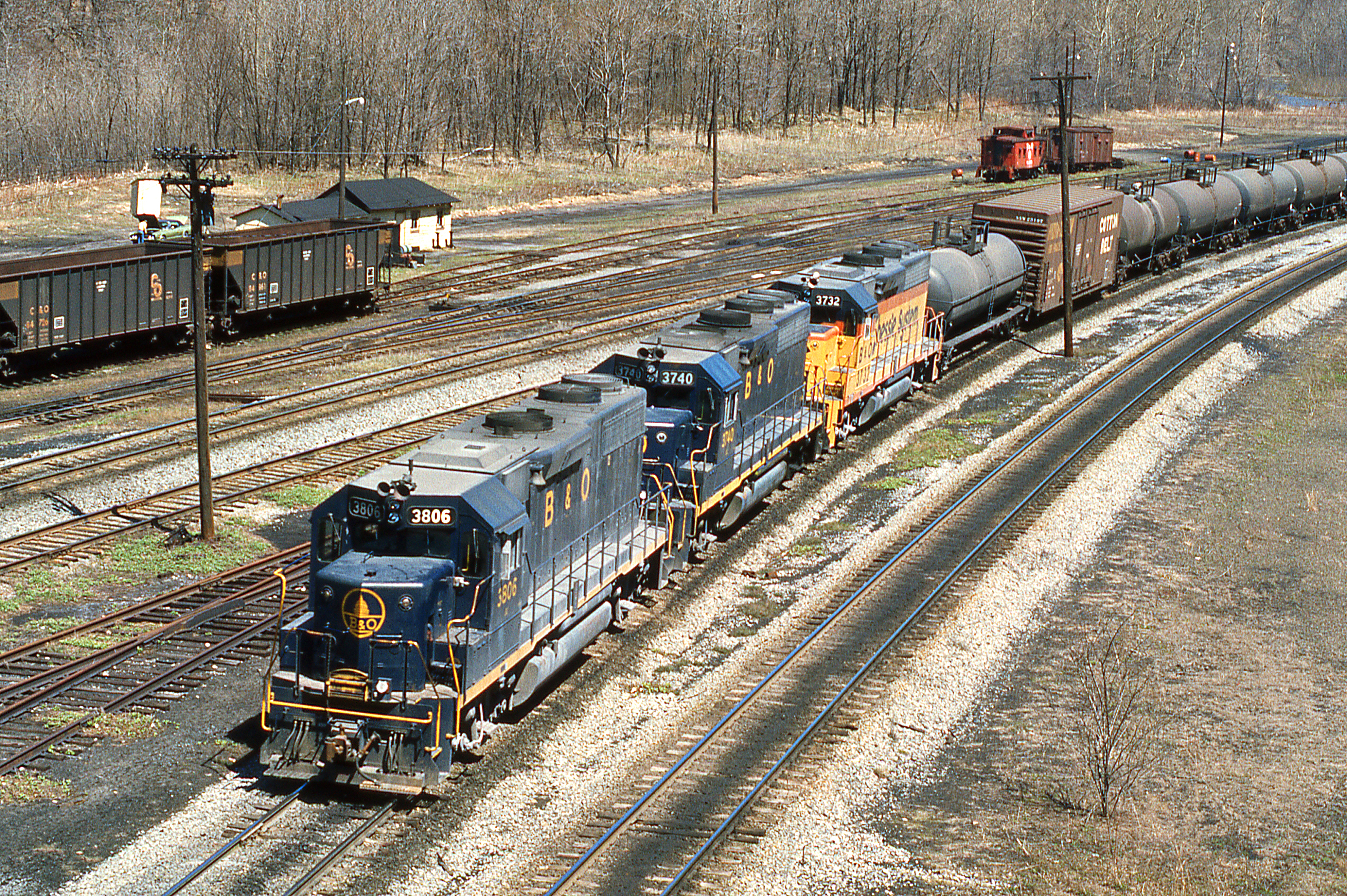
1977 04-09 1220 B&O-CS GP38-3806 W/B at Rowlesburg,WV
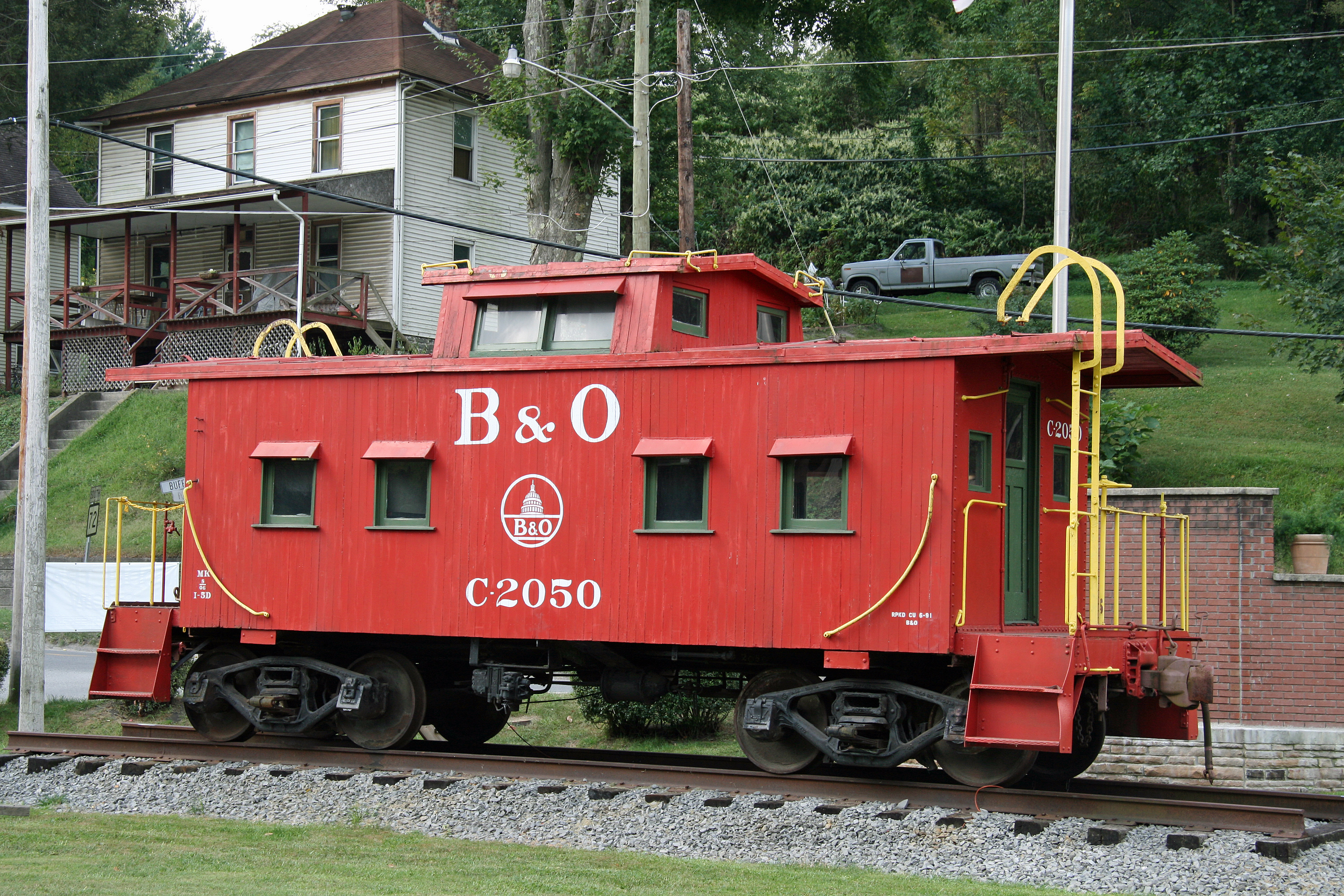
B&O Caboose - Rowlesburg, WV

Cool Springs Park, Mountain View, WV

Cool Springs Park, Mountain View, WV
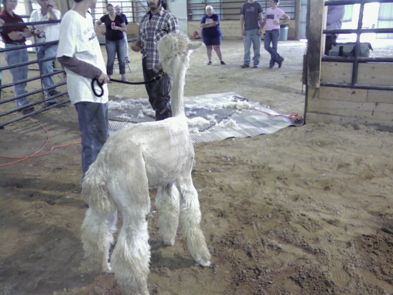
Pedro view from behind after shearing

Allgood view

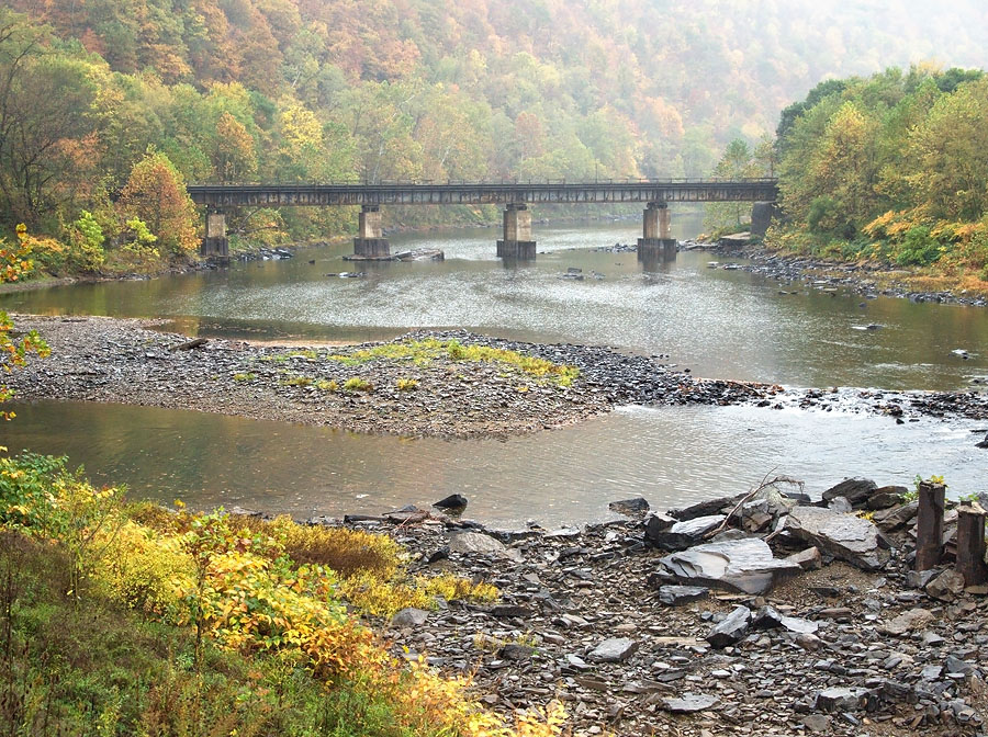
B&O Buckhorn Wall on Cheat River grade WV 1964

Cool Springs Park, Mountain View, WV

All Good 2010 77

Another view

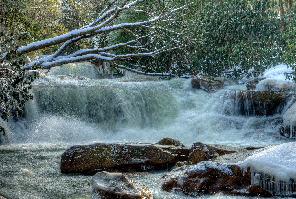
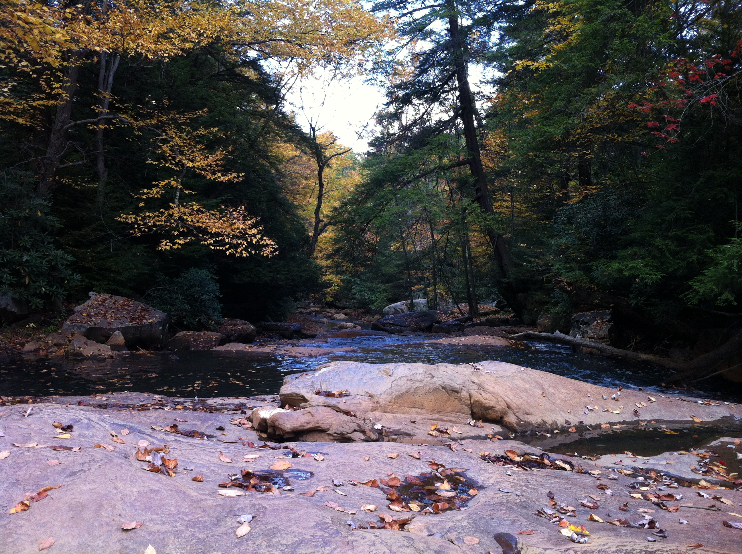
the falls of muddy creek
B&O
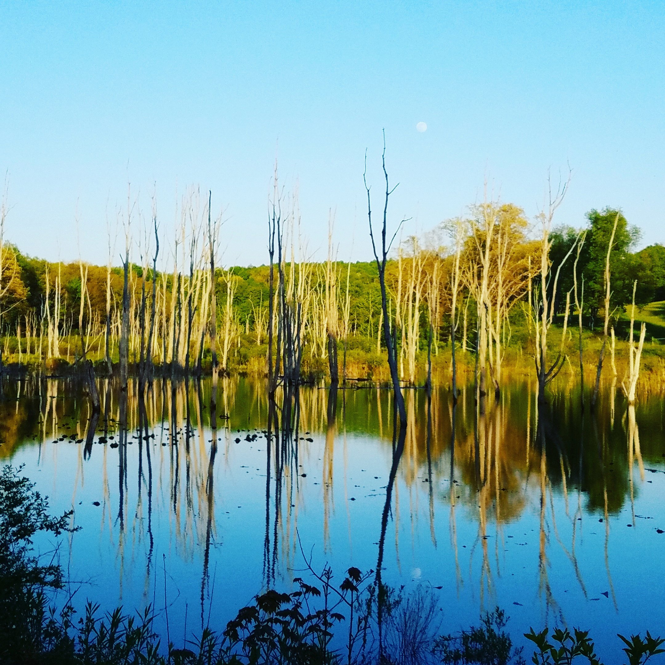
Upper Deckers Creek pond
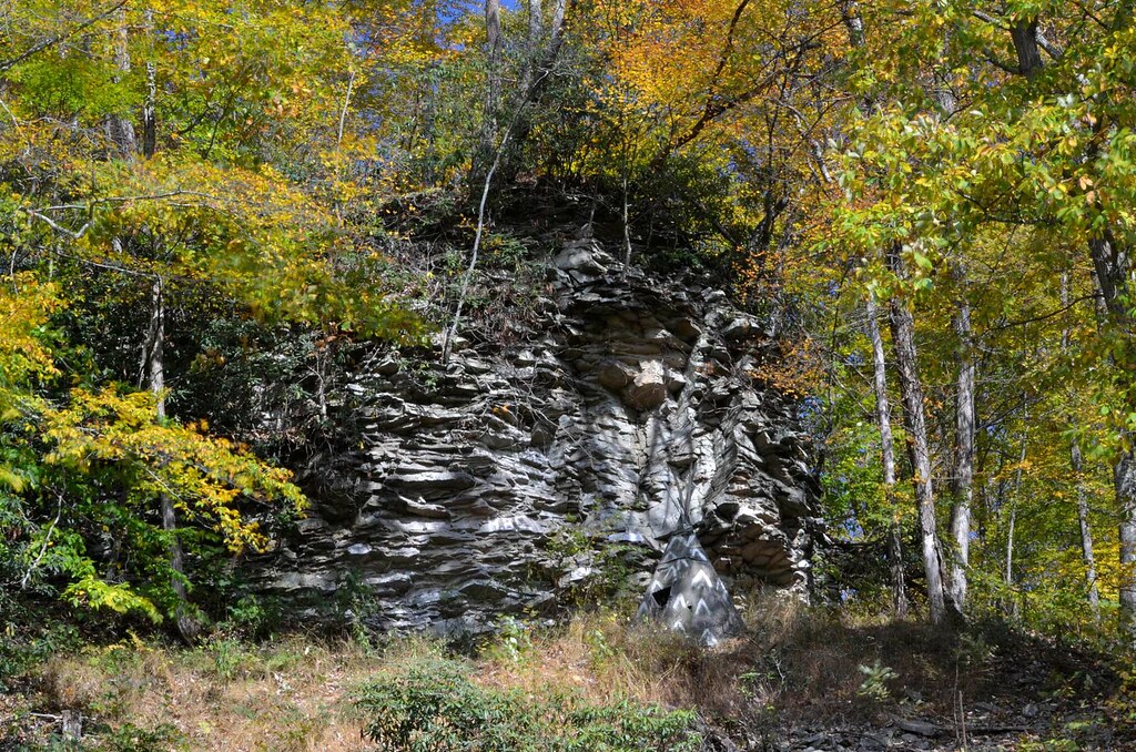
Crazy Cliff (Explored)

Heading Toward Winter
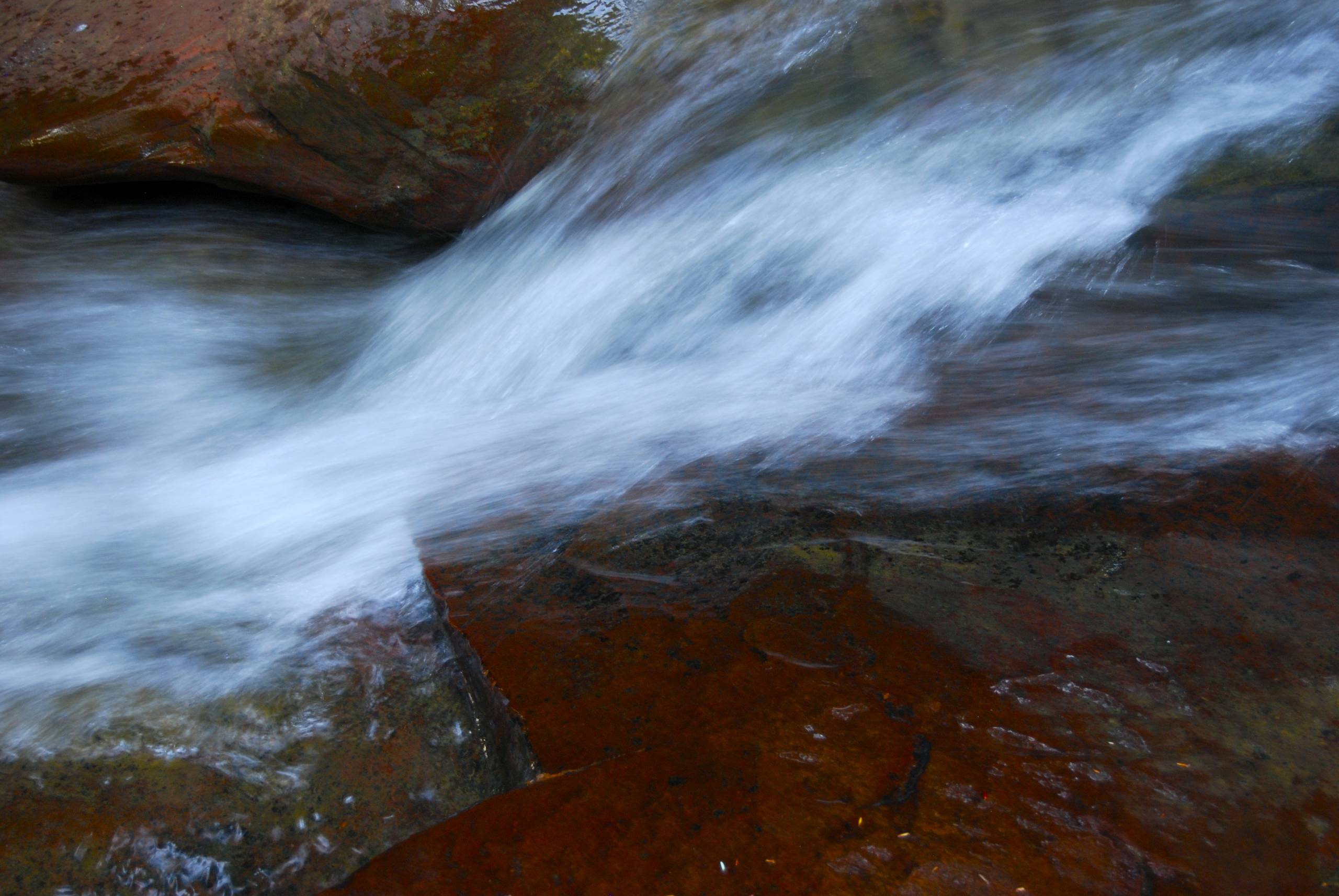
Down Deckers Creek

Summer 2012
Summer 2012
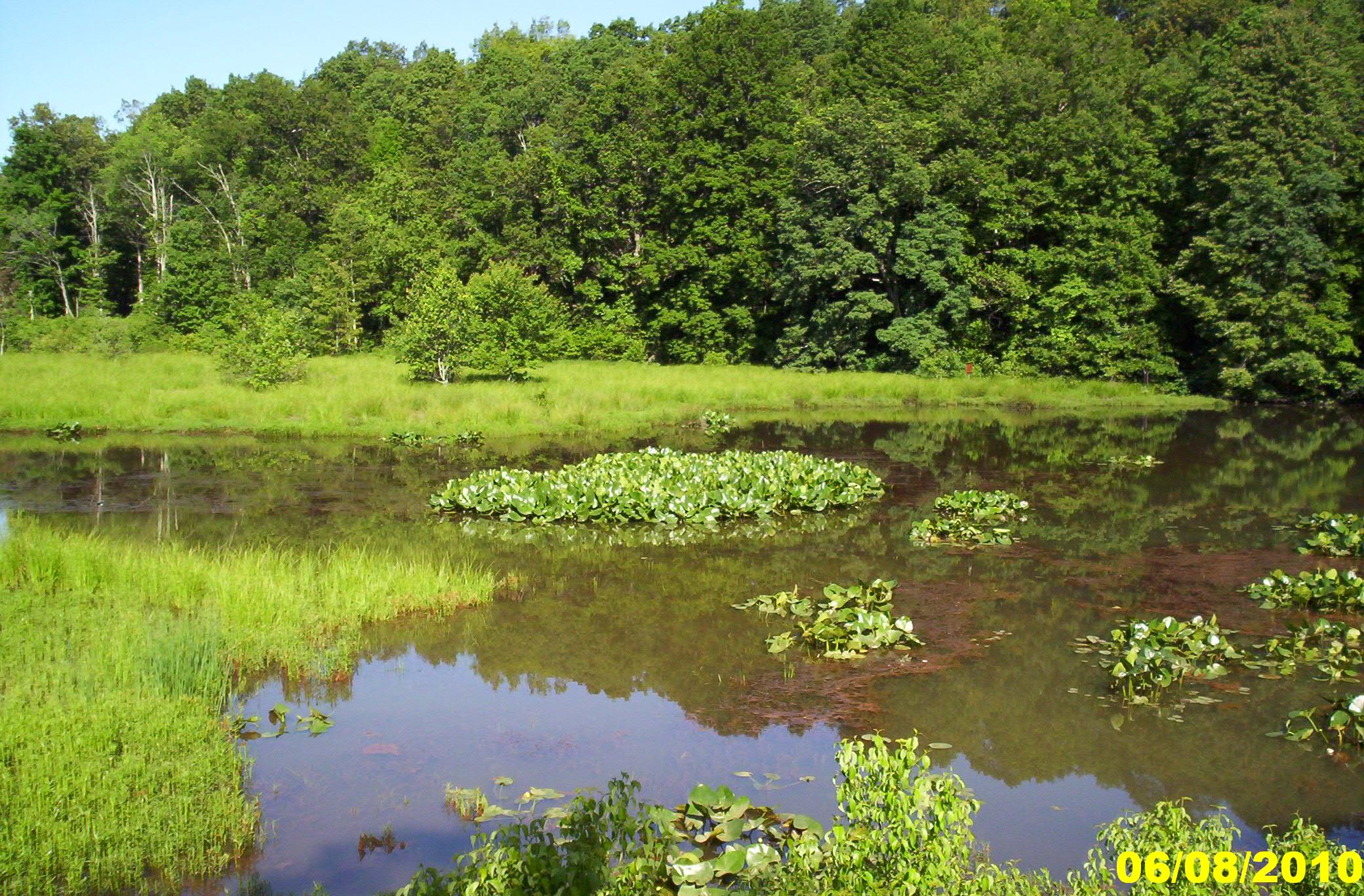
Fairfax Pond-Rehe Wildlife Management Area
Deckers Creek Trail
Summer 2012

Summer 2012
Landscape Enlargements
Landscape Enlargements

Hipsta Milkweed

10-8-12

In That Direction
Deckers Creek Trail 10
Topographic Map of St Joseph Church Rd, Kingwood, WV, USA
Find elevation by address:

Places near St Joseph Church Rd, Kingwood, WV, USA:
Saint Josephs Church
124 St Joseph Church Rd
2811 Birds Creek Rd
Pell Road
Fortney
78 Co Rte 26/69
78 Co Rte 26/69
Kingwood
Tunnelton
Commerce Street
Reedsville
31 Larue Ave
3 Seemont Dr
1746 Long Hollow Rd
Herring Rd, Masontown, WV, USA
First
155 Molly Ln
155 Co Rte 7/23
Preston County
Albright
Recent Searches:
- Elevation of E Brightview Ave, Pittsburgh, PA, USA
- Elevation of Cavendish Rd, Harringay Ladder, London N4 1RR, UK
- Elevation of 1 Zion Park Blvd, Springdale, UT, USA
- Elevation of Ganderbal
- Elevation map of Konkan Division, Maharashtra, India
- Elevation of Netaji Nagar, Hallow Pul, Kurla, Mumbai, Maharashtra, India
- Elevation of Uralsk, Kazakhstan
- Elevation of 45- Kahana Dr, Honokaa, HI, USA
- Elevation of New Mexico 30, NM-30, Española, NM, USA
- Elevation of Santmyer Way, Charles Town, WV, USA