Elevation of Birds Creek Rd, Tunnelton, WV, USA
Location: United States > West Virginia > Preston County > Third >
Longitude: -79.757445
Latitude: 39.439824
Elevation: 678m / 2224feet
Barometric Pressure: 93KPa
Elevation Map:
Satellite Map:
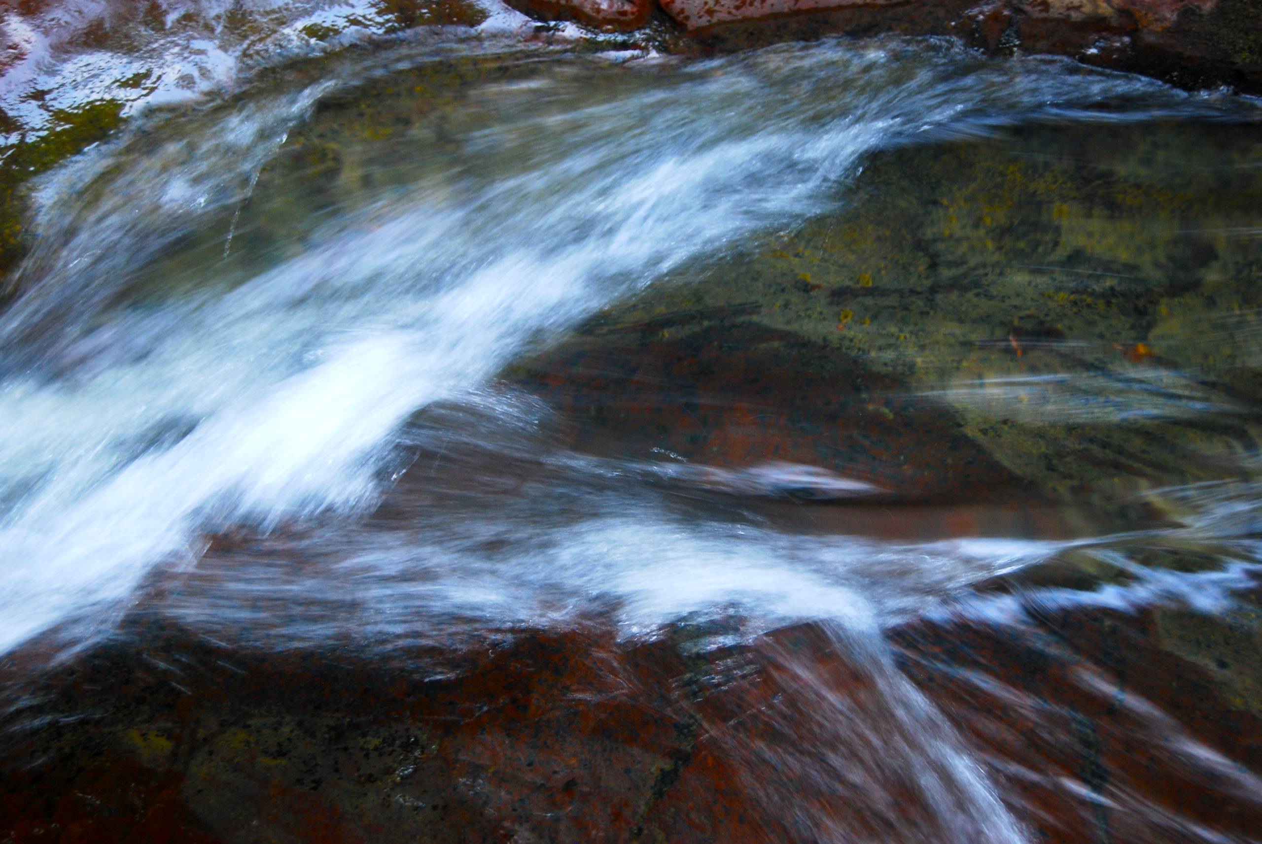
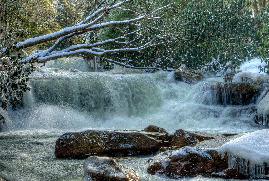
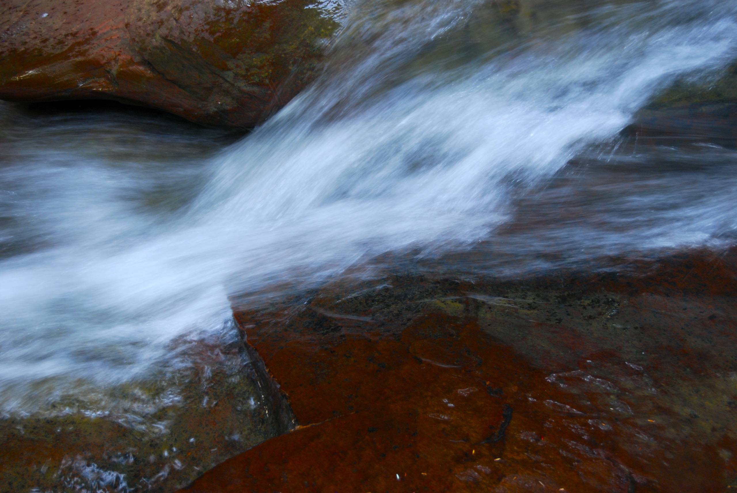
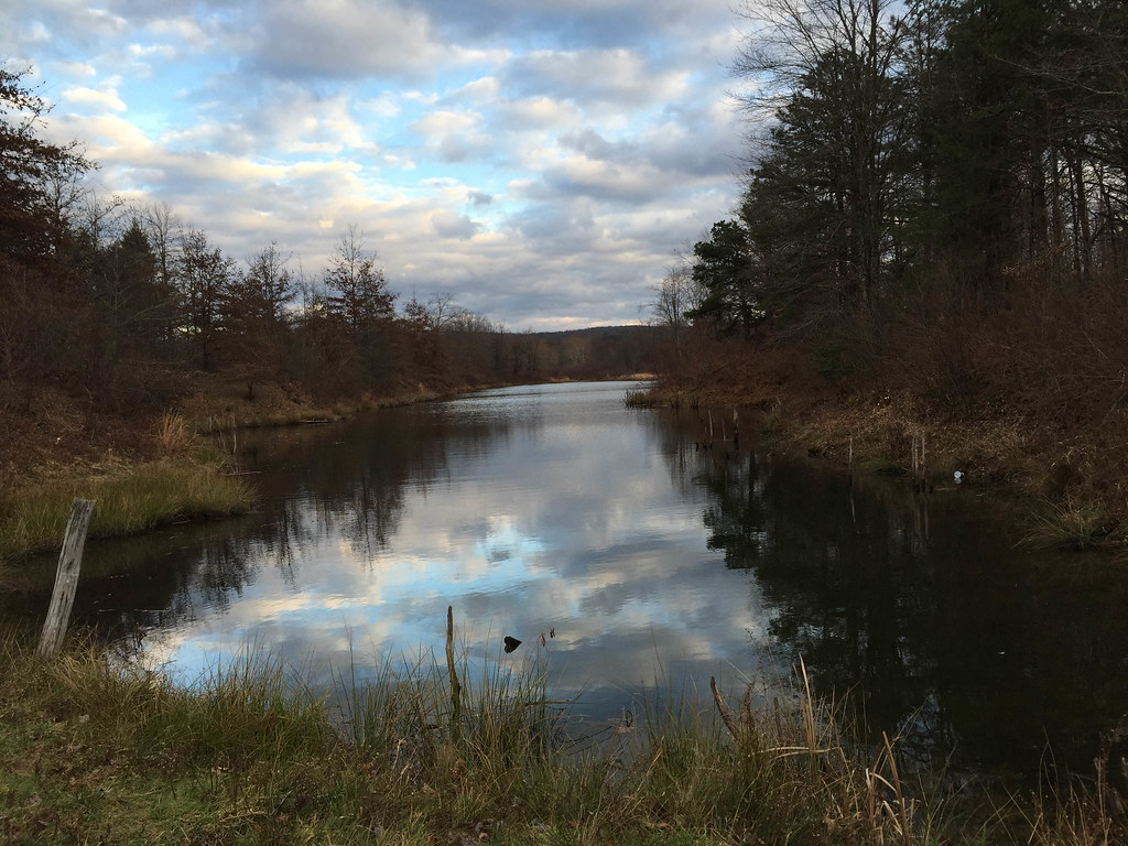
Related Photos:
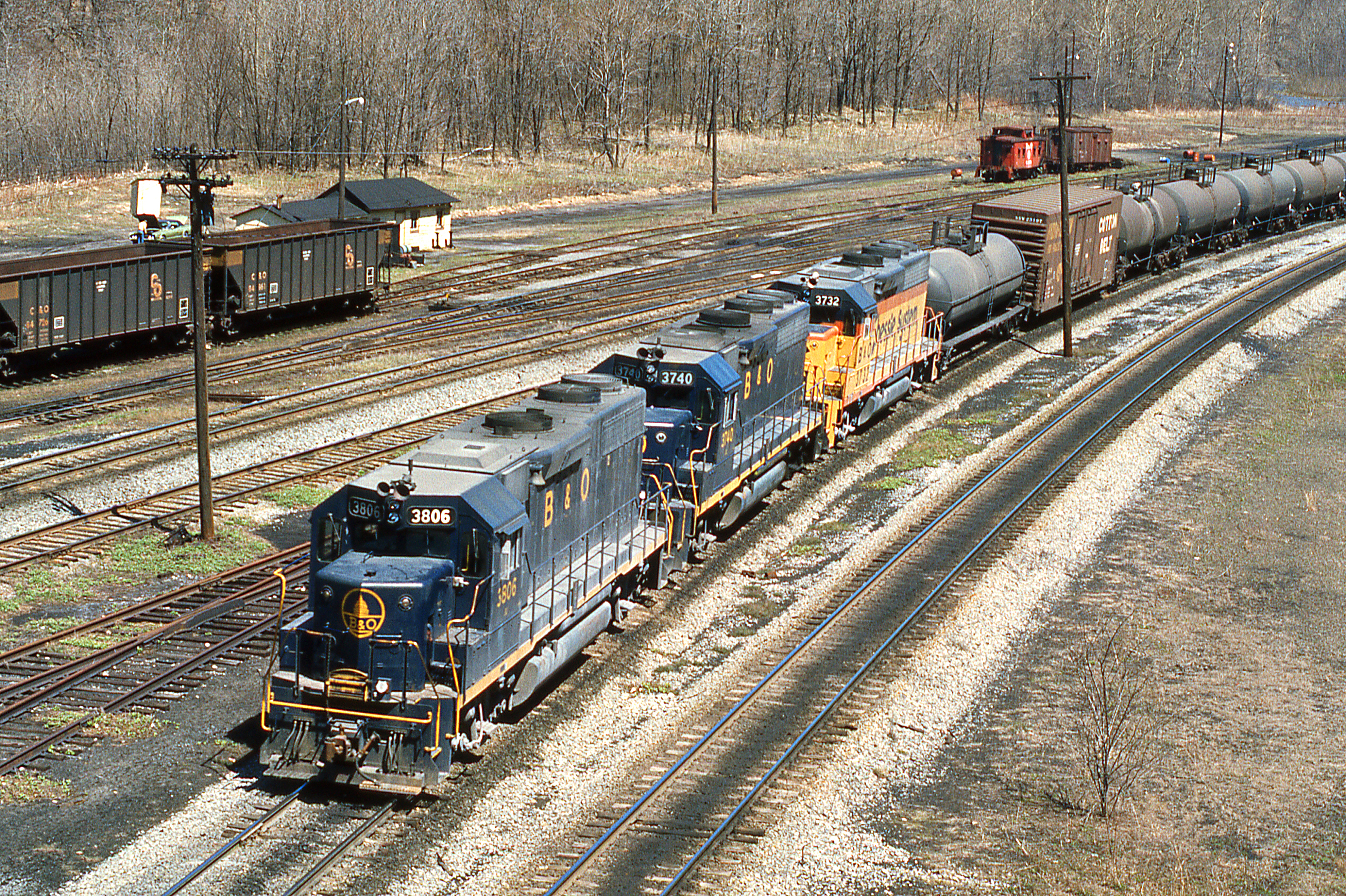
1977 04-09 1220 B&O-CS GP38-3806 W/B at Rowlesburg,WV
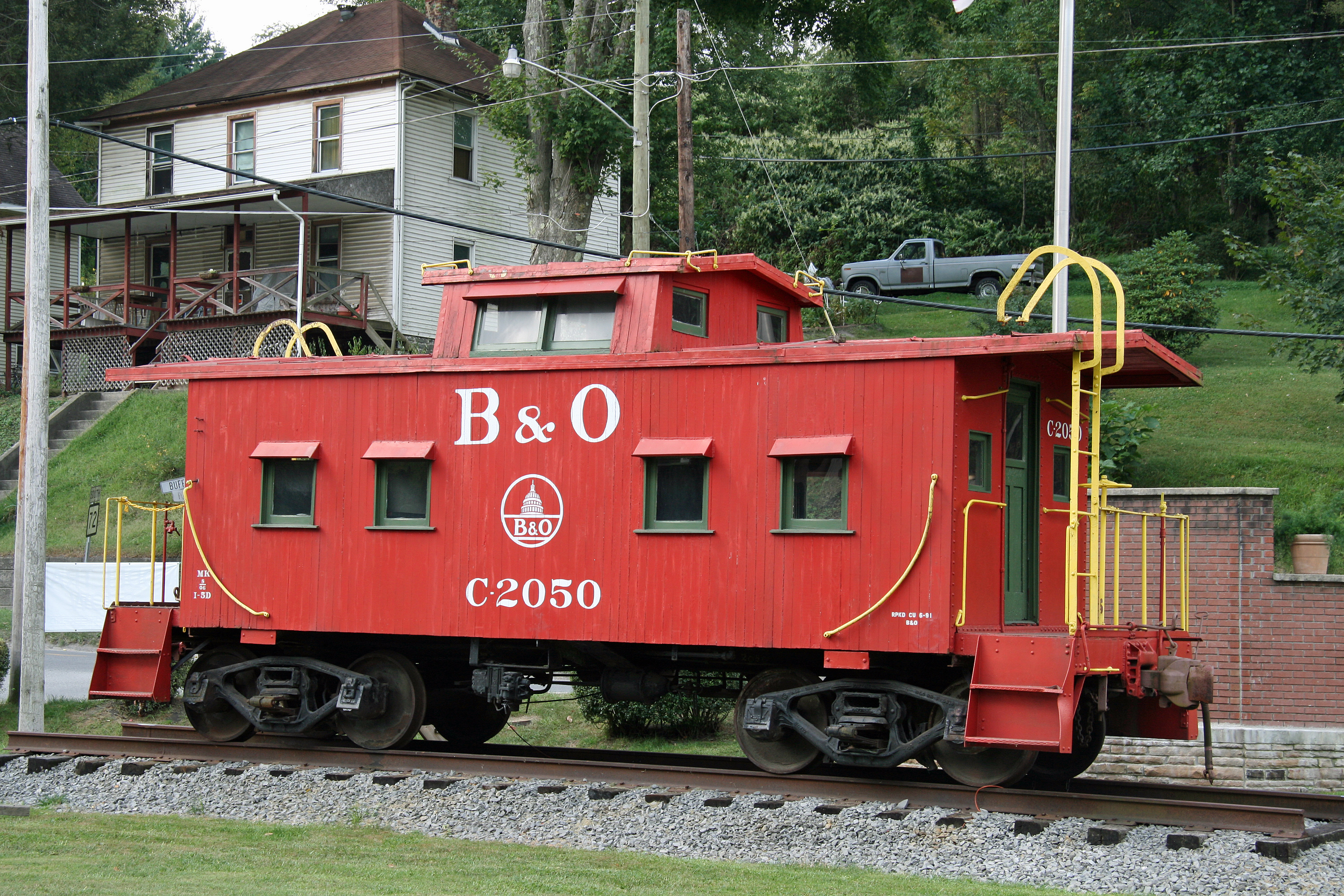
B&O Caboose - Rowlesburg, WV

Arthurdale Esso Station

Cool Springs Park, Mountain View, WV

Cool Springs Park, Mountain View, WV

B&O Buckhorn Wall on Cheat River grade WV 1964
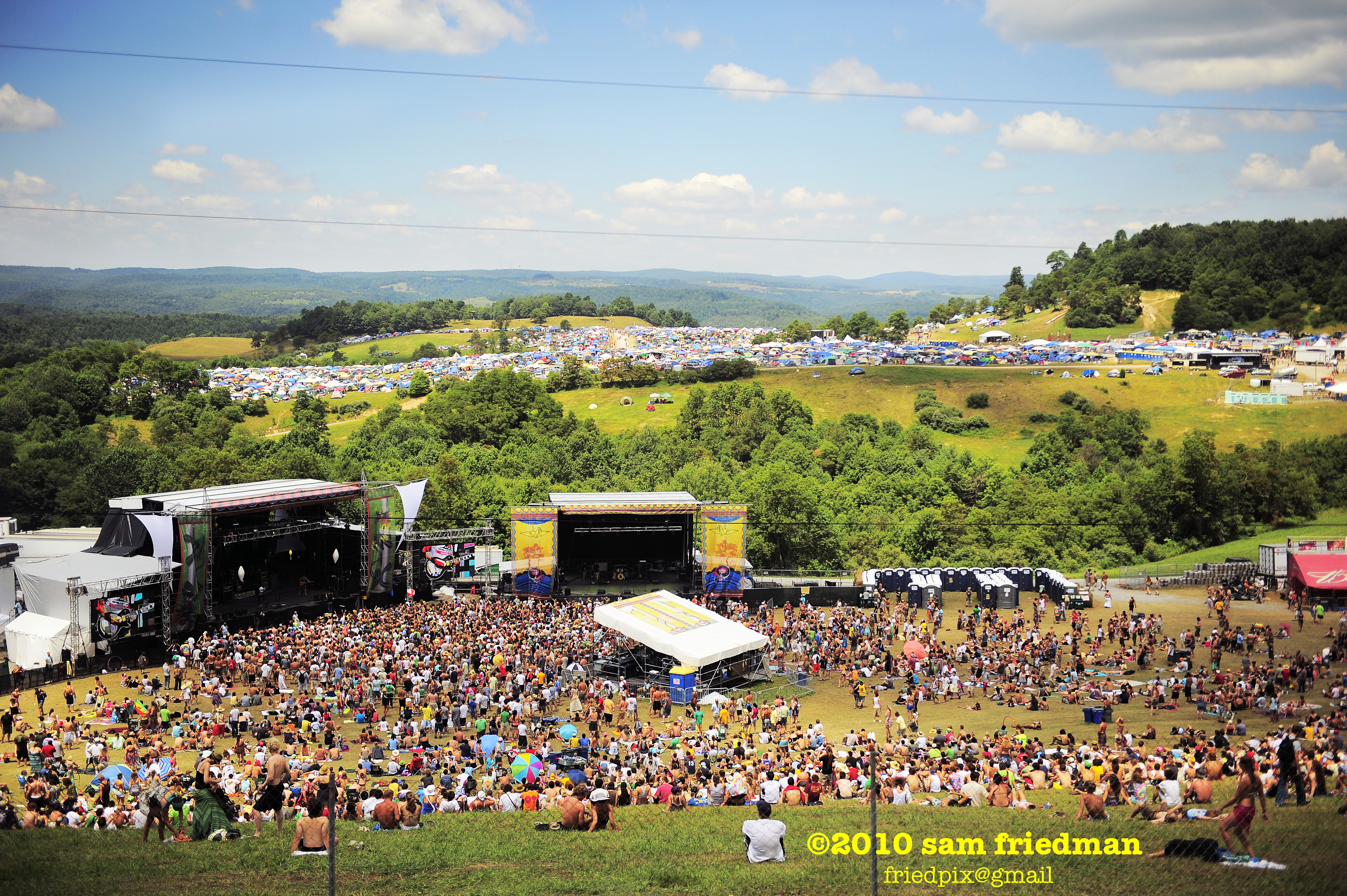
All Good 2010 77

In That Direction
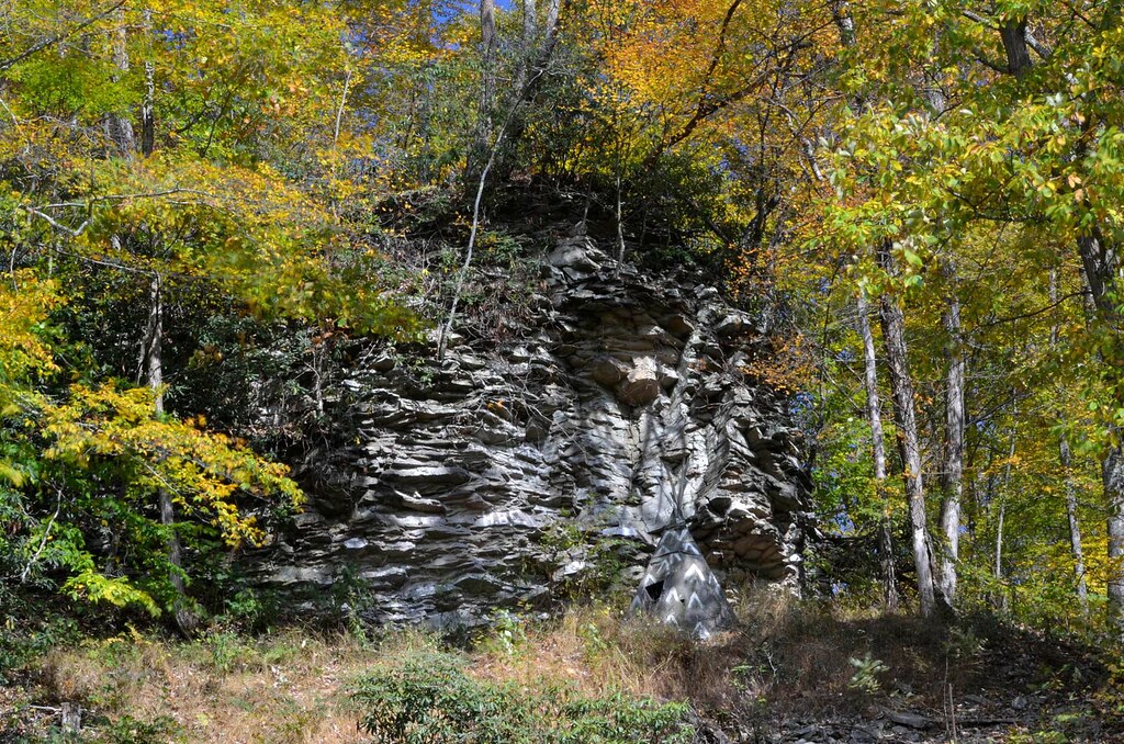
Crazy Cliff (Explored)

Heading Toward Winter

Hipsta Milkweed

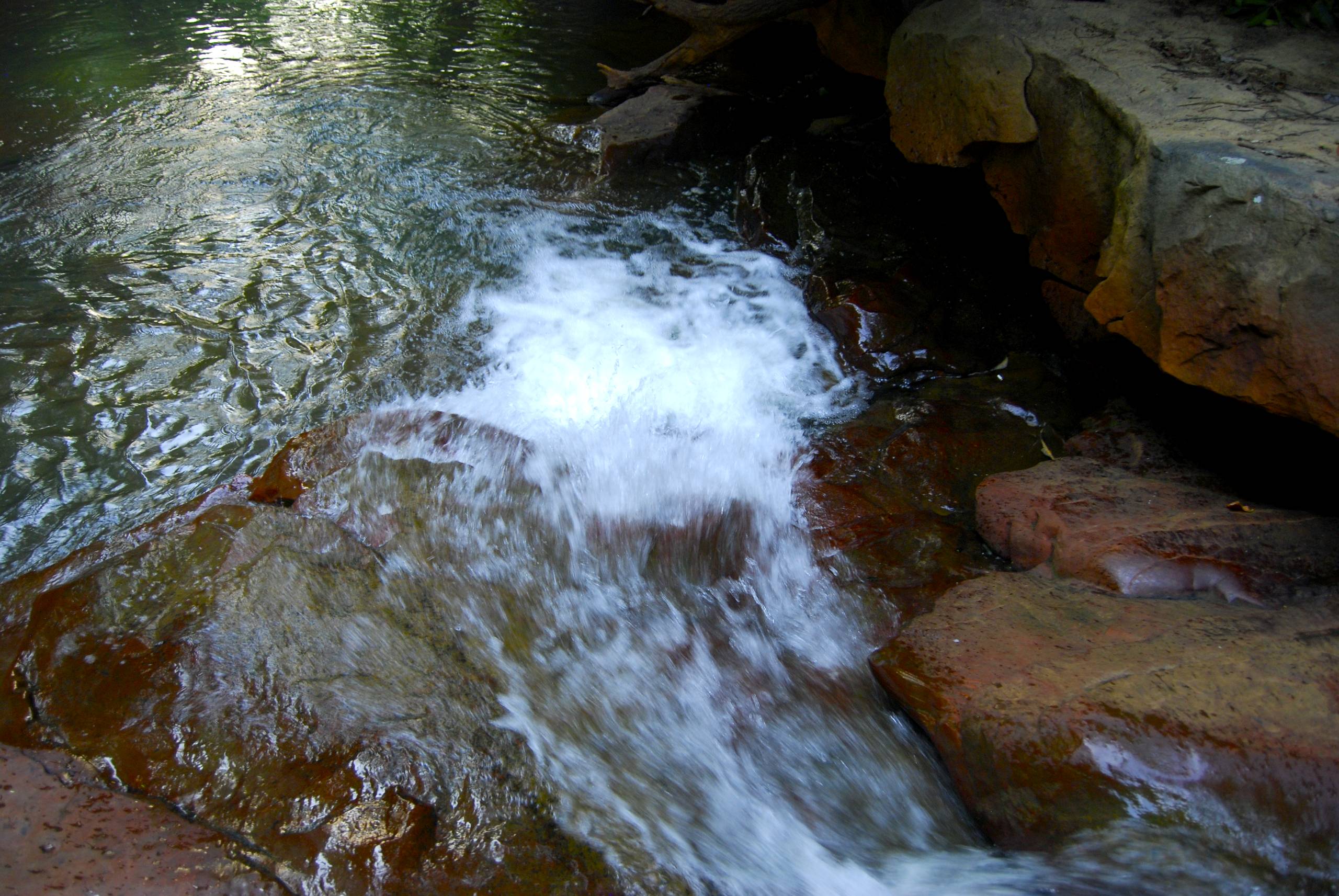
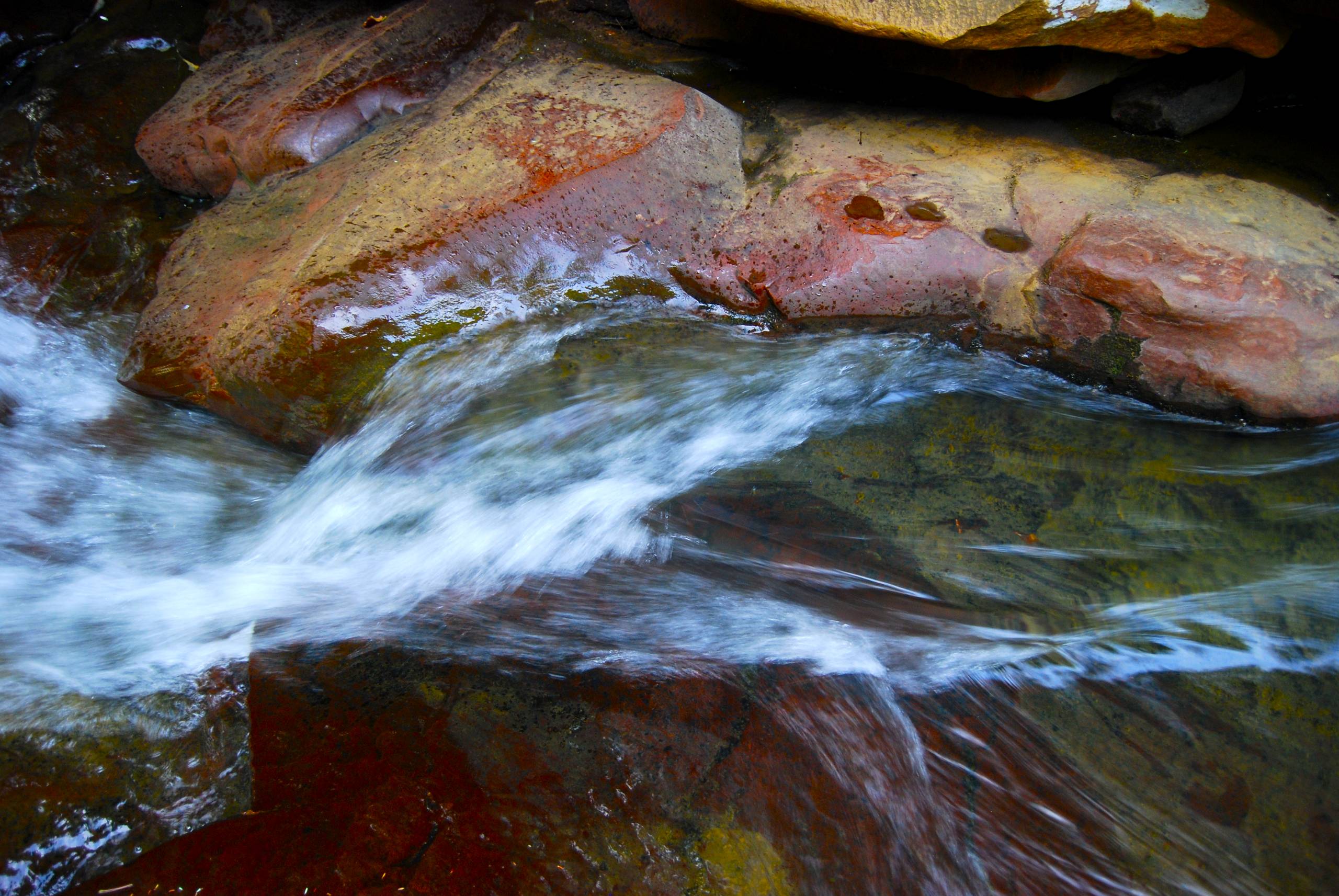
the falls of muddy creek
Summer 2012
Down Deckers Creek
Summer 2012
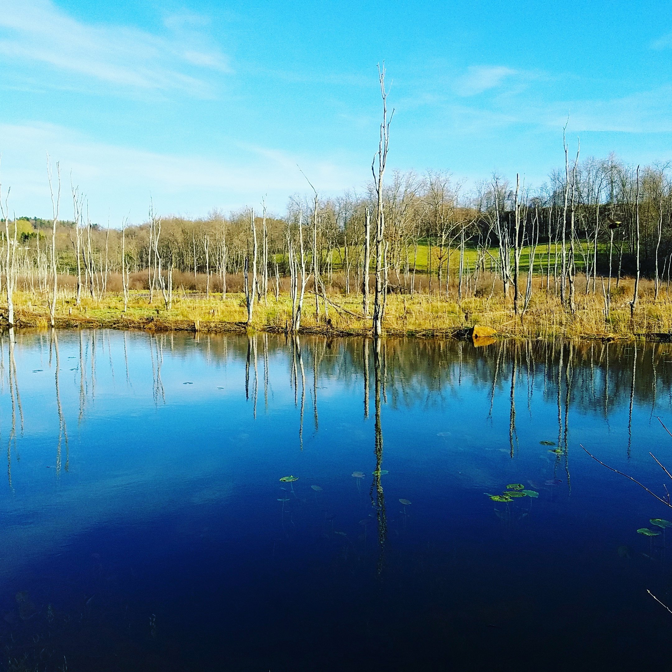
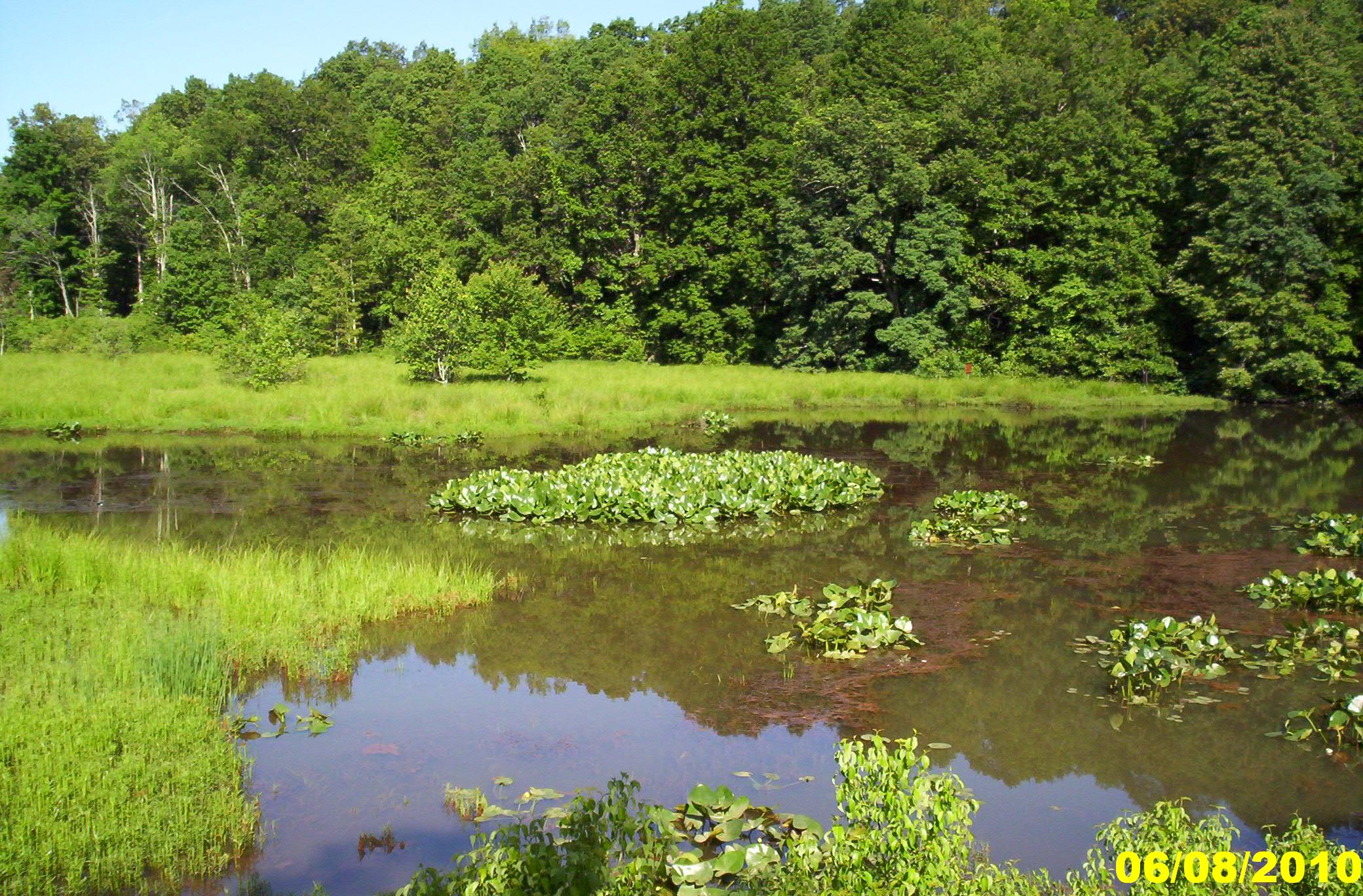
Fairfax Pond-Rehe Wildlife Management Area
Summer 2012
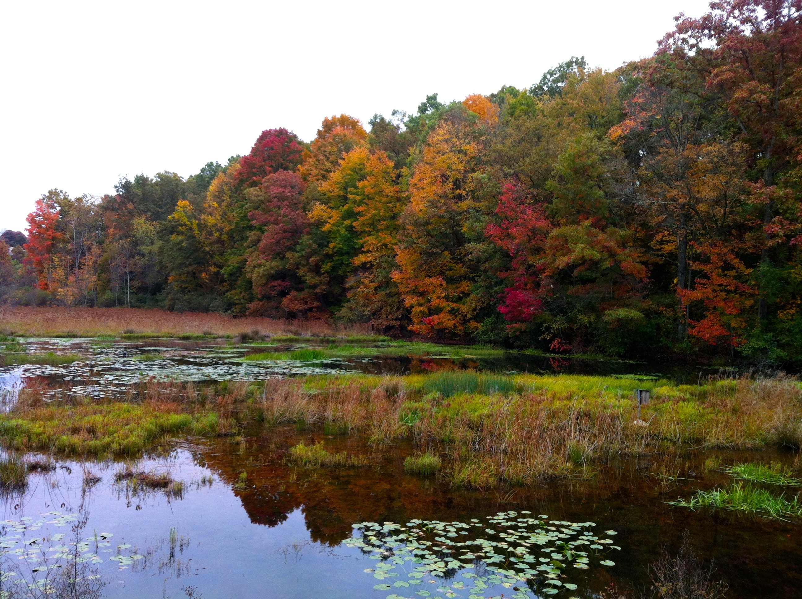
Deckers Creek Trail
Landscape Enlargements
Landscape Enlargements
Summer 2012
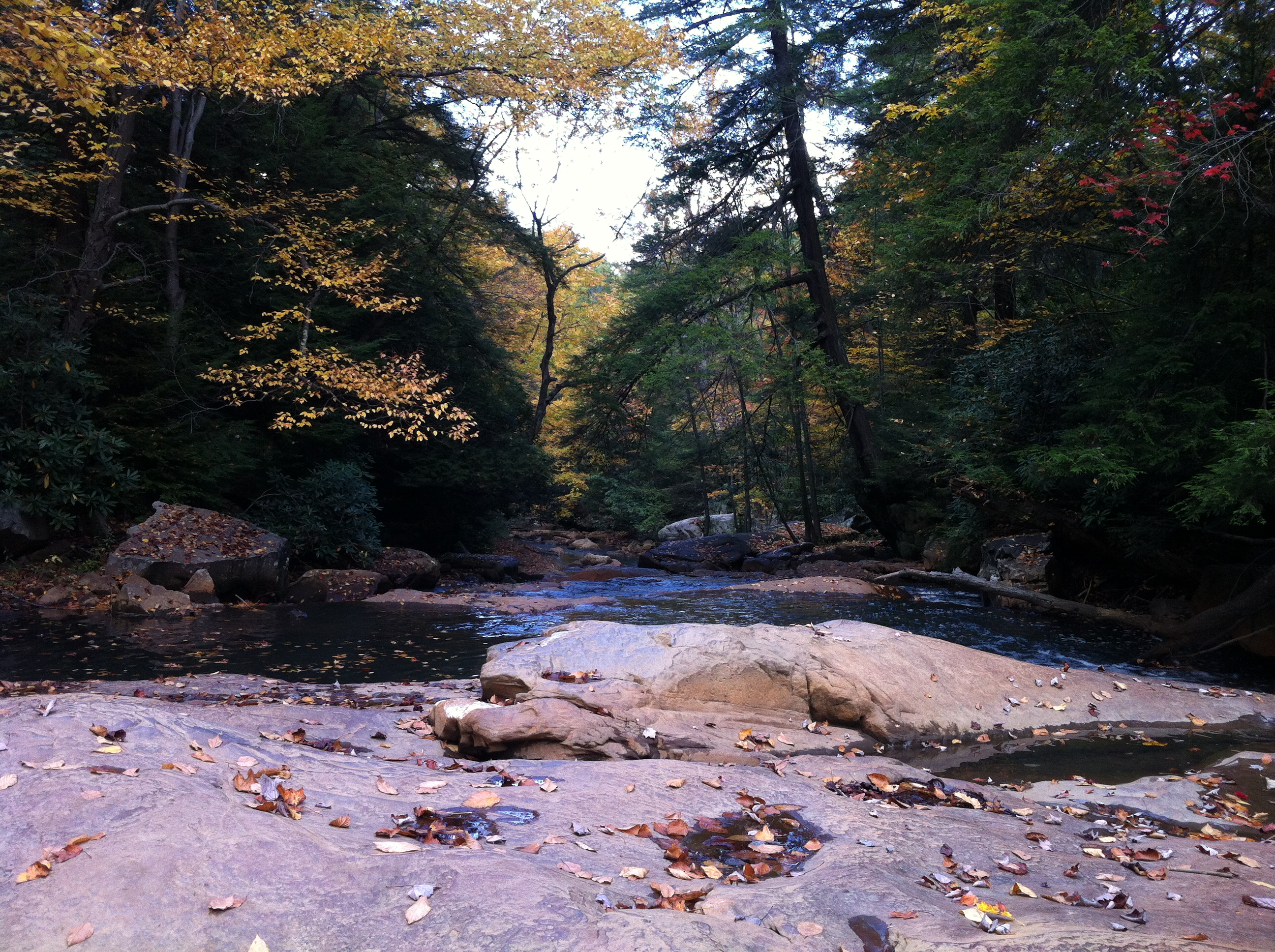
Deckers Creek Trail 10
Topographic Map of Birds Creek Rd, Tunnelton, WV, USA
Find elevation by address:

Places near Birds Creek Rd, Tunnelton, WV, USA:
Saint Josephs Church
124 St Joseph Church Rd
910 St Joseph Church Rd
Pell Road
Fortney
78 Co Rte 26/69
78 Co Rte 26/69
Tunnelton
Commerce Street
Kingwood
Reedsville
31 Larue Ave
3 Seemont Dr
1746 Long Hollow Rd
Herring Rd, Masontown, WV, USA
155 Molly Ln
155 Co Rte 7/23
Preston County
First
Albright
Recent Searches:
- Elevation of Fern Rd, Whitmore, CA, USA
- Elevation of 62 Abbey St, Marshfield, MA, USA
- Elevation of Fernwood, Bradenton, FL, USA
- Elevation of Felindre, Swansea SA5 7LU, UK
- Elevation of Leyte Industrial Development Estate, Isabel, Leyte, Philippines
- Elevation of W Granada St, Tampa, FL, USA
- Elevation of Pykes Down, Ivybridge PL21 0BY, UK
- Elevation of Jalan Senandin, Lutong, Miri, Sarawak, Malaysia
- Elevation of Bilohirs'k
- Elevation of 30 Oak Lawn Dr, Barkhamsted, CT, USA