Elevation of Pell Road, Pell Rd, Third, WV, USA
Location: United States > West Virginia > Preston County > Kingwood >
Longitude: -79.786582
Latitude: 39.4612354
Elevation: 578m / 1896feet
Barometric Pressure: 95KPa
Elevation Map:
Satellite Map:
Related Photos:

Westbrook's 1927 vintage Esso Gas Station - Kingwood WV

Arthurdale Esso Station

All Good 2010 77

Allgood view

Pedro view from behind after shearing

Another view

Bull Run Bridge, West Virginia [Explore]

Under Rt. 26

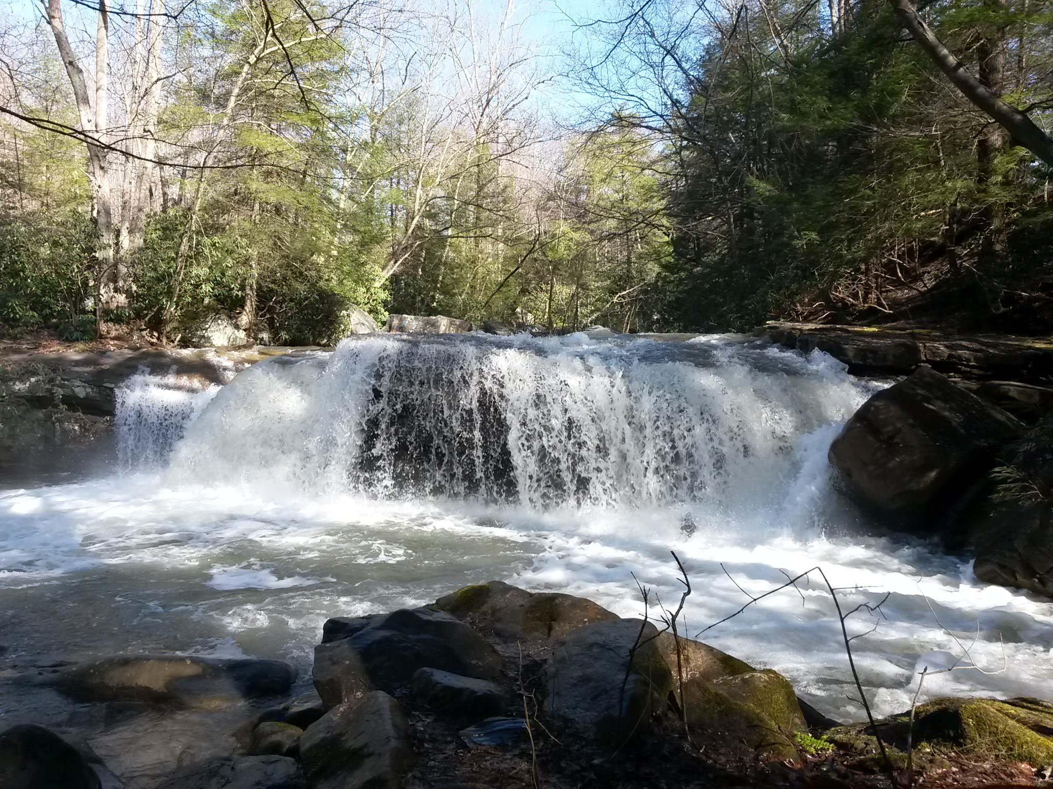
the falls of muddy creek

Down Deckers Creek
Deckers Creek Upper Cascades

Hipsta Milkweed

Heading Toward Winter
B&O

Arizona 2

Fall trip down the Cheat

Matador Fall slideshow

All Good 2010 87

Deckers Creek

Deckers Creek

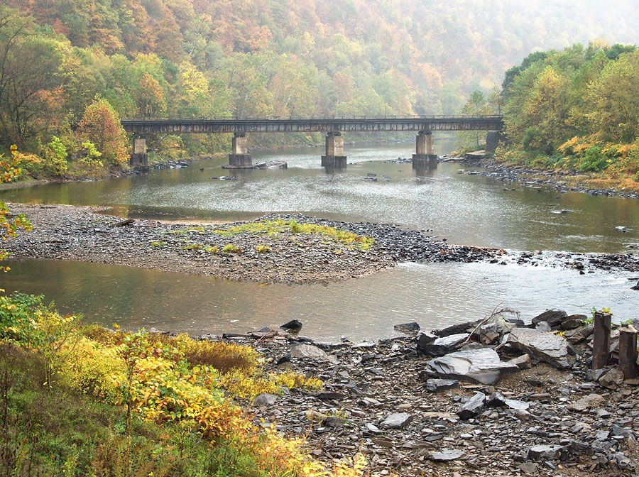
Cheat River, downstream from WV Route 26 bridge

baltimore and ohio viaduct

Upper Deckers Creek WMA

Upper Deckers Creek WMA

Upper Deckers Creek WMA

Deckers Creek Waterfall

Cheat River Morning
Topographic Map of Pell Road, Pell Rd, Third, WV, USA
Find elevation by address:

Places near Pell Road, Pell Rd, Third, WV, USA:
2811 Birds Creek Rd
Saint Josephs Church
910 St Joseph Church Rd
124 St Joseph Church Rd
Reedsville
155 Molly Ln
155 Co Rte 7/23
Fortney
1746 Long Hollow Rd
Tunnelton
78 Co Rte 26/69
78 Co Rte 26/69
Commerce Street
First
Herring Rd, Masontown, WV, USA
Kingwood
31 Larue Ave
3 Seemont Dr
Preston County
2793 Beech Run Rd
Recent Searches:
- Elevation of Elwyn Dr, Roanoke Rapids, NC, USA
- Elevation of Congressional Dr, Stevensville, MD, USA
- Elevation of Bellview Rd, McLean, VA, USA
- Elevation of Stage Island Rd, Chatham, MA, USA
- Elevation of Shibuya Scramble Crossing, 21 Udagawacho, Shibuya City, Tokyo -, Japan
- Elevation of Jadagoniai, Kaunas District Municipality, Lithuania
- Elevation of Pagonija rock, Kranto 7-oji g. 8"N, Kaunas, Lithuania
- Elevation of Co Rd 87, Jamestown, CO, USA
- Elevation of Tenjo, Cundinamarca, Colombia
- Elevation of Côte-des-Neiges, Montreal, QC H4A 3J6, Canada