Elevation of Columbia Rd 54, Waldo, AR, USA
Location: United States > Arkansas > Columbia County > Magnolia Township >
Longitude: -93.379069
Latitude: 33.329226
Elevation: 103m / 338feet
Barometric Pressure: 100KPa
Elevation Map:
Satellite Map:
Related Photos:
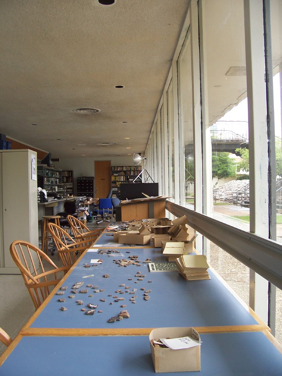
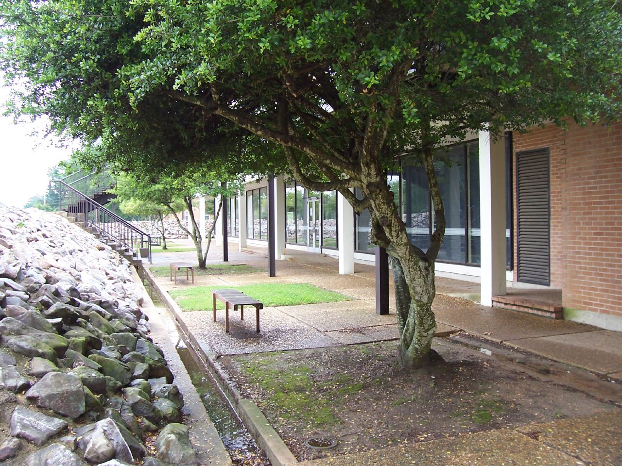
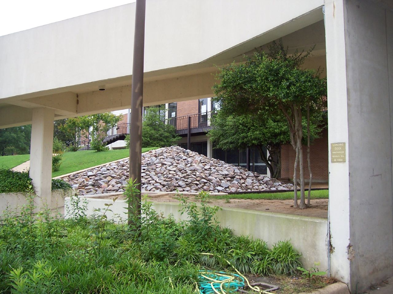
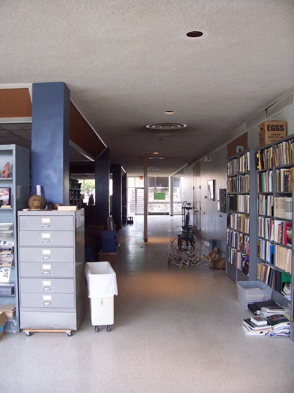
The SAU Research Station

From Inside (2)
The SAU Research Station
The SAU Research Station

The SAU Research Station
The SAU Research Station
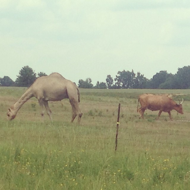
A camel and a longhorn, in Stamps, Arkansas.
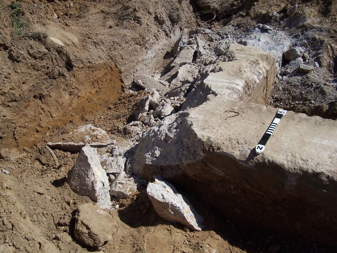
Holt Hall Foundations

cow birds
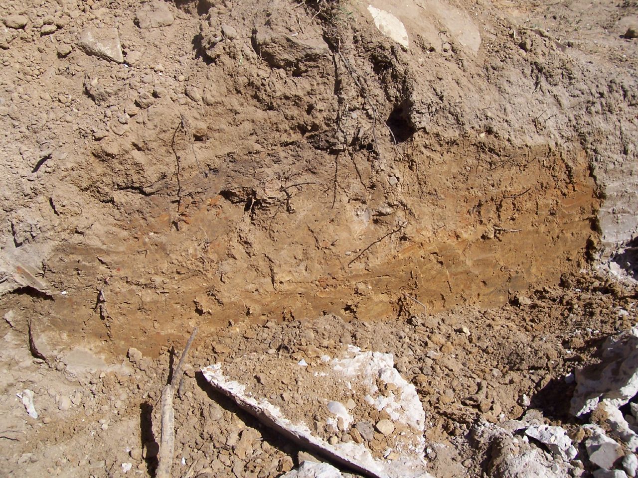
Holt Hall Foundations
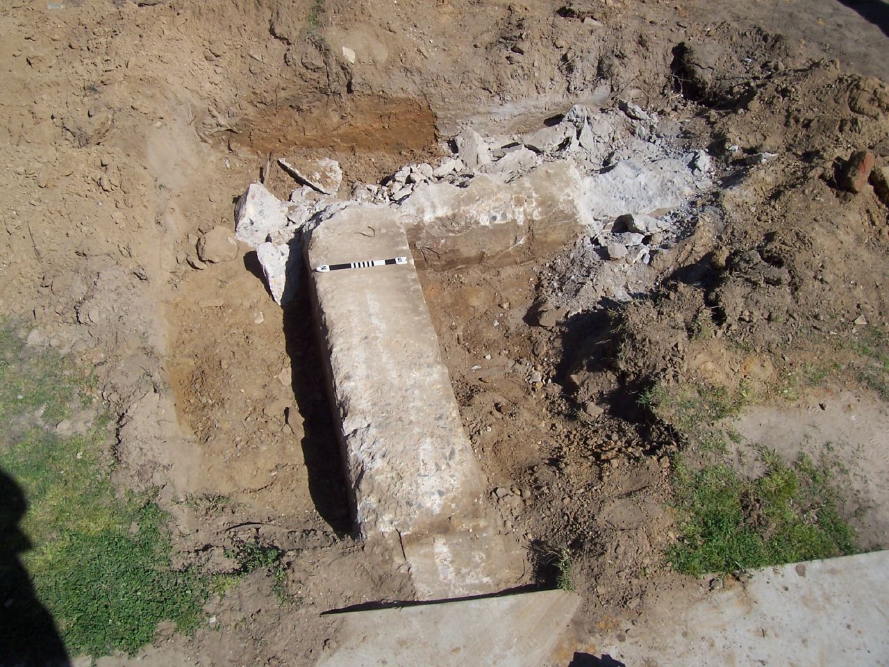
Holt Hall Foundations
Topographic Map of Columbia Rd 54, Waldo, AR, USA
Find elevation by address:

Places near Columbia Rd 54, Waldo, AR, USA:
Buckner
W Myrtle St, Buckner, AR, USA
Hadley Township
Columbia Rd 31, Waldo, AR, USA
US-82, Stamps, AR, USA
Waldo
E McKissack, Waldo, AR, USA
US-, Magnolia, AR, USA
Waldo Township
US-, Waldo, AR, USA
1116 Gravel St
County Rd 36, Stamps, AR, USA
Columbia Rd 1, Stamps, AR, USA
AR-53, Buckner, AR, USA
Magnolia
Columbia Road 15, Magnolia, AR, USA
Nevada 4 Rd, Willisville, AR, USA
Alabama Township
Mcneil
Magnolia Township
Recent Searches:
- Elevation of 72-31 Metropolitan Ave, Middle Village, NY, USA
- Elevation of 76 Metropolitan Ave, Brooklyn, NY, USA
- Elevation of Alisal Rd, Solvang, CA, USA
- Elevation of Vista Blvd, Sparks, NV, USA
- Elevation of 15th Ave SE, St. Petersburg, FL, USA
- Elevation of Beall Road, Beall Rd, Florida, USA
- Elevation of Leguwa, Nepal
- Elevation of County Rd, Enterprise, AL, USA
- Elevation of Kolchuginsky District, Vladimir Oblast, Russia
- Elevation of Shustino, Vladimir Oblast, Russia