Elevation of AR-53, Buckner, AR, USA
Location: United States > Arkansas > Nevada County > Alabama Township >
Longitude: -93.413268
Latitude: 33.4643903
Elevation: 118m / 387feet
Barometric Pressure: 100KPa
Elevation Map:
Satellite Map:
Related Photos:
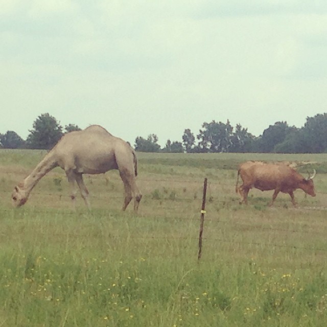
A camel and a longhorn, in Stamps, Arkansas.
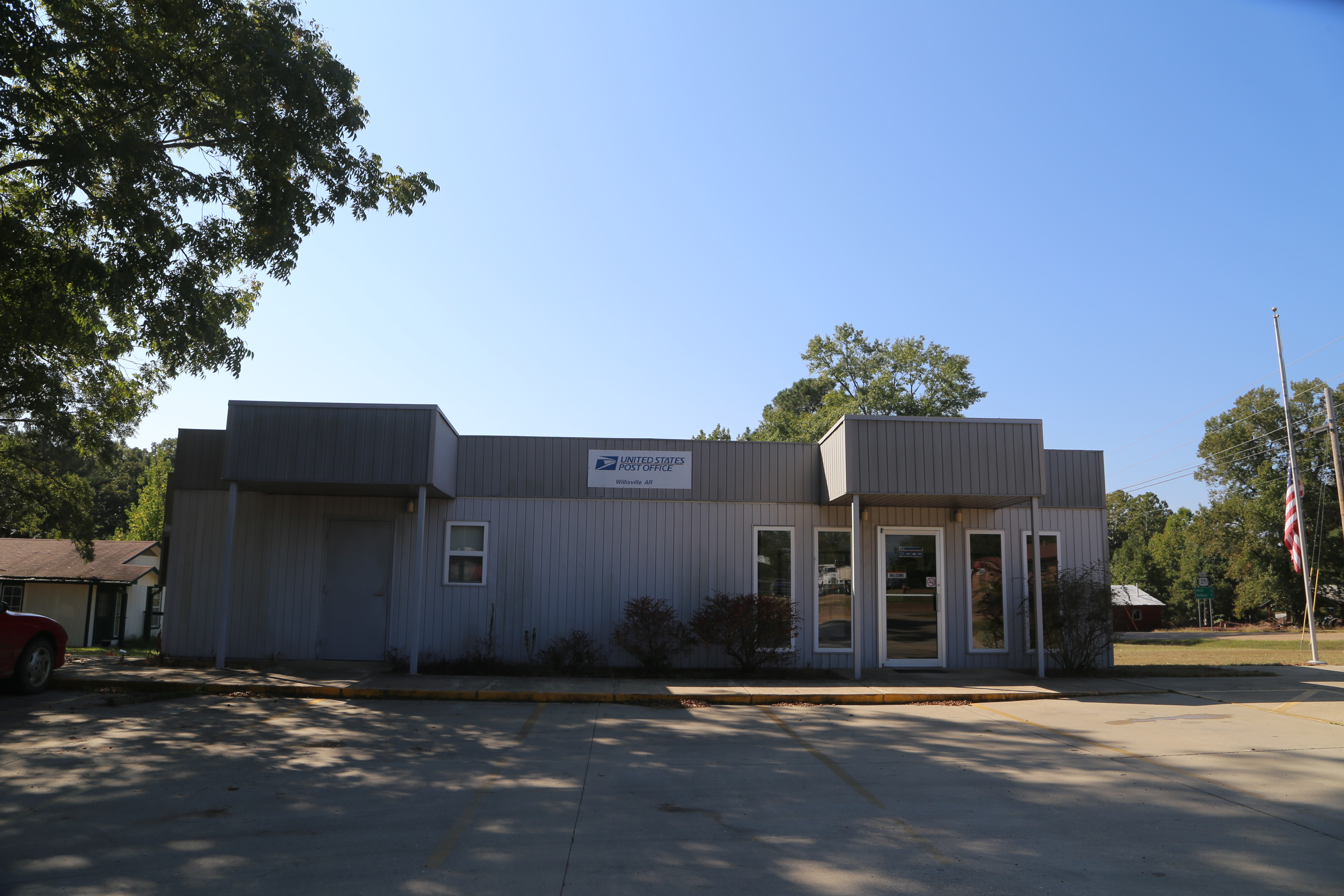
Willisville Akansas, Post Office, 71864, Nevada County AR
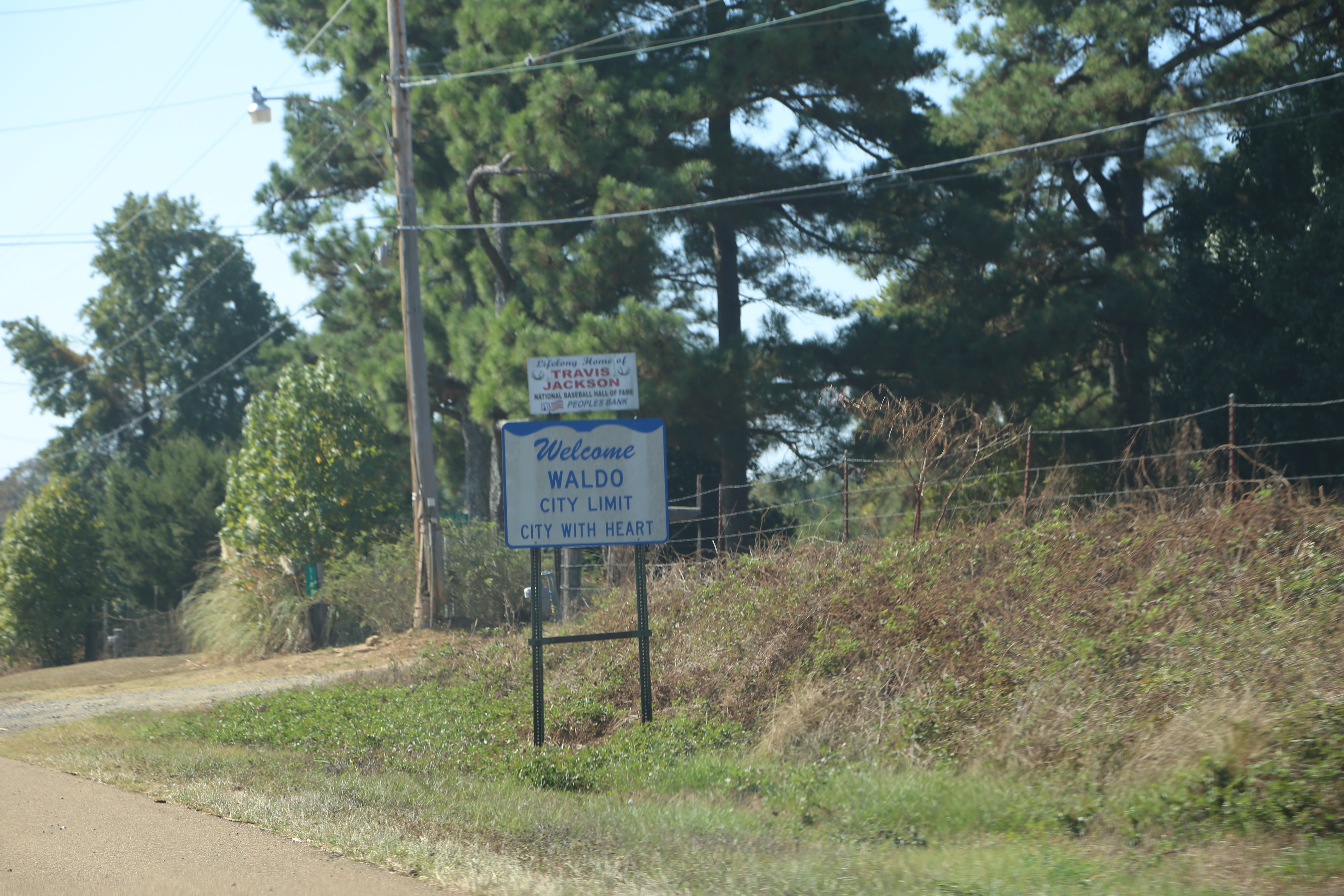
Waldo Arkansas, Columbia County AR

Old broken down shed in rural Arkansas, snapped with the Nokia Lumia 1020

Stopped for a frito chili pie and cherry limeade at our earliest convenience.

Post Offices 71860 (Stamps, Arkansas)
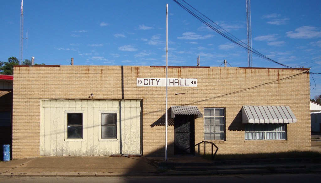
Stamps, Arkansas City Hall

First Presbyterian- Stamps AR
Topographic Map of AR-53, Buckner, AR, USA
Find elevation by address:

Places near AR-53, Buckner, AR, USA:
Alabama Township
298 Nevada 7 Rd
Nevada 4 Rd, Willisville, AR, USA
Parker Township
Nevada Rd, Rosston, AR, USA
Bodcaw
Columbia Rd 31, Waldo, AR, USA
Hadley Township
Buckner
W Myrtle St, Buckner, AR, USA
US-82, Stamps, AR, USA
Co Rd 8, Willisville, AR, USA
Willisville
1116 Gravel St
Columbia Rd 54, Waldo, AR, USA
Taylor Township
US-, Waldo, AR, USA
Waldo Township
Waldo
E McKissack, Waldo, AR, USA
Recent Searches:
- Elevation of Sieveringer Straße, Sieveringer Str., Wien, Austria
- Elevation of Bratskaya Ulitsa, 24, Kurgan, Kurganskaya oblast', Russia
- Elevation of Paradisvegen, Biri, Norway
- Elevation of Crystal Cir, Birmingham, AL, USA
- Elevation of N Railroad Ave, West Palm Beach, FL, USA
- Elevation of 55 Cassick Valley Rd, Wellfleet, MA, USA
- Elevation of Ironwood Dr, Minden, NV, USA
- Elevation of 高尾山口駅, Takaomachi, Hachioji, Tokyo -, Japan
- Elevation of 15 Victory Ave, Greenville, SC, USA
- Elevation of Kota Ternate Utara, Ternate City, North Maluku, Indonesia