Elevation of Columbia Rd 31, Waldo, AR, USA
Location: United States > Arkansas > Columbia County > Waldo Township > Waldo >
Longitude: -93.339129
Latitude: 33.404639
Elevation: 106m / 348feet
Barometric Pressure: 100KPa
Elevation Map:
Satellite Map:
Related Photos:
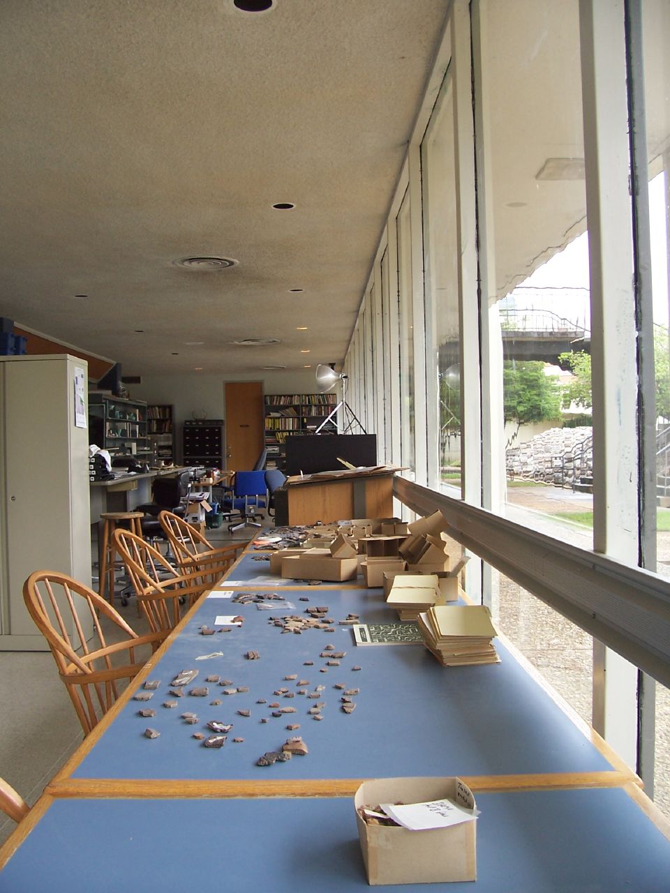
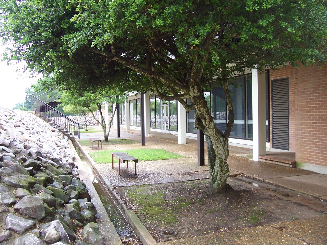
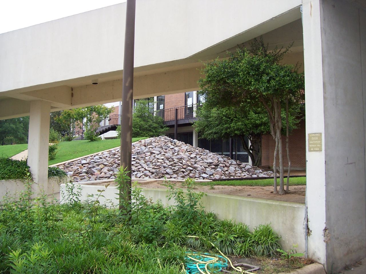
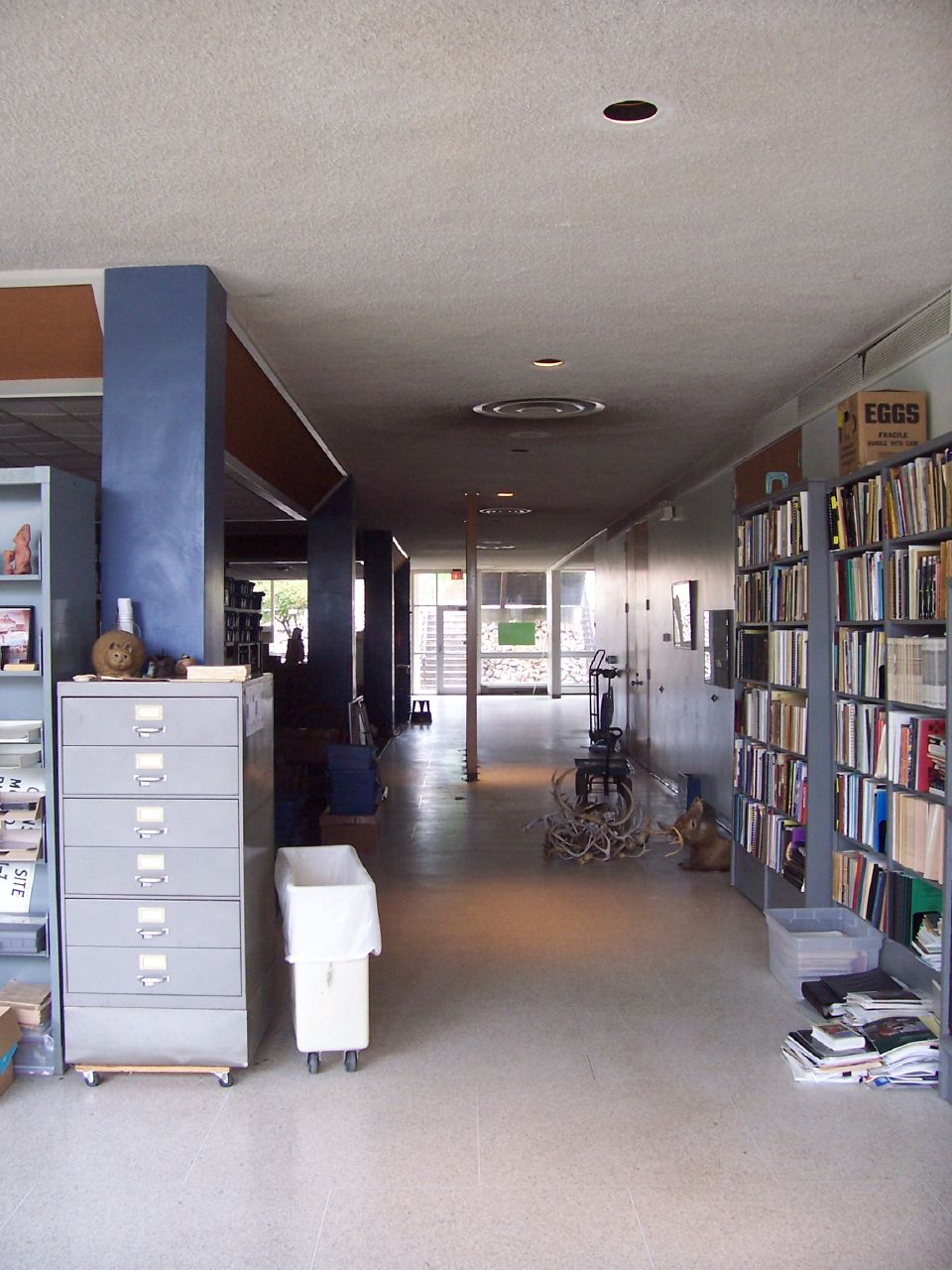
The SAU Research Station

From Inside (2)
The SAU Research Station
The SAU Research Station

The SAU Research Station
The SAU Research Station
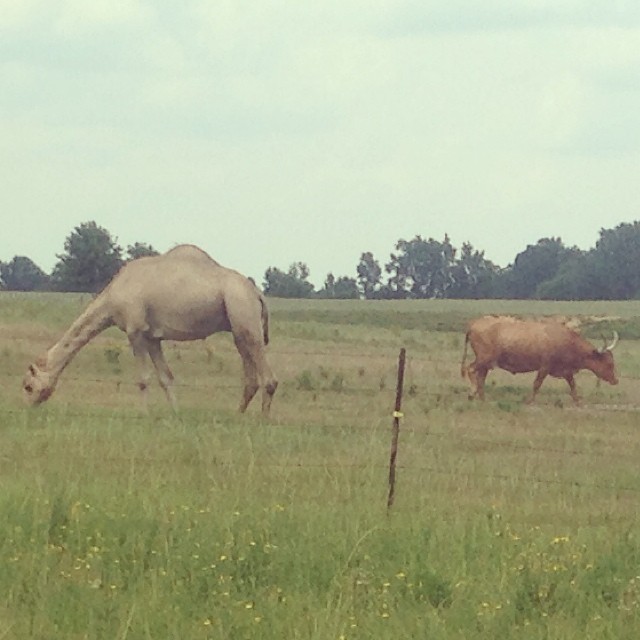
A camel and a longhorn, in Stamps, Arkansas.
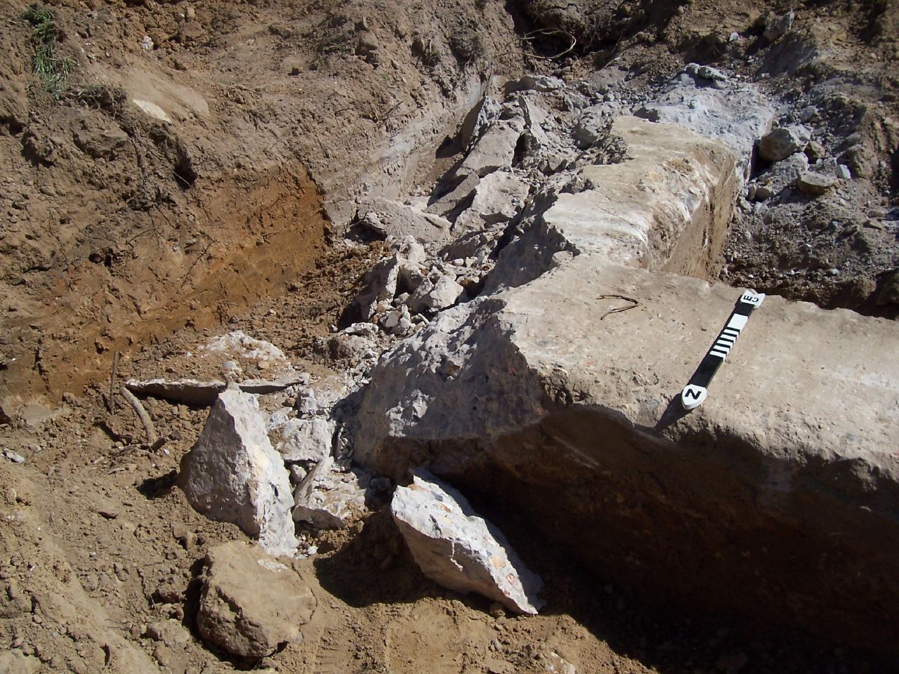
Holt Hall Foundations
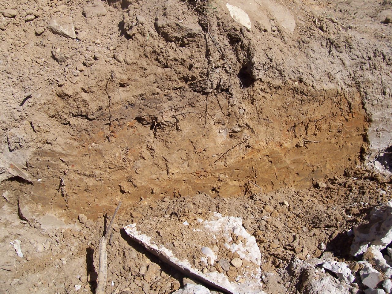
Holt Hall Foundations
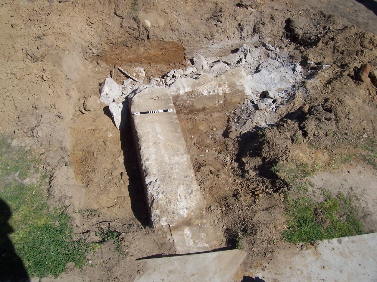
Holt Hall Foundations
Topographic Map of Columbia Rd 31, Waldo, AR, USA
Find elevation by address:

Places near Columbia Rd 31, Waldo, AR, USA:
US-, Waldo, AR, USA
Waldo Township
Waldo
E McKissack, Waldo, AR, USA
Nevada 4 Rd, Willisville, AR, USA
Columbia Rd 54, Waldo, AR, USA
AR-53, Buckner, AR, USA
Hadley Township
Buckner
W Myrtle St, Buckner, AR, USA
Alabama Township
Taylor Township
Co Rd 8, Willisville, AR, USA
Willisville
298 Nevada 7 Rd
US-82, Stamps, AR, USA
Columbia Rd 62 W, McNeil, AR, USA
Mcneil
Parker Township
1116 Gravel St
Recent Searches:
- Elevation of Hickory Blvd, Bonita Springs, FL, USA
- Elevation of Lalagbene, Bayelsa, Nigeria
- Elevation of Ogbosuware Health Centre, 2WWJ+4PJ, Lalagbene, Bayelsa, Nigeria
- Elevation of Duckhorn Ct, Las Vegas, NV, USA
- Elevation of Garretts Run Rd, Ford City, PA, USA
- Elevation of N WI-55, Freedom, WI, USA
- Elevation map of Hadiya, Ethiopia
- Elevation of Hosaina, Ethiopia
- Elevation of Verde Terrace, North Port, FL, USA
- Elevation of US-, Leesburg, FL, USA