Elevation of Taylor Township, AR, USA
Location: United States > Arkansas > Nevada County >
Longitude: -93.278482
Latitude: 33.5071949
Elevation: 103m / 338feet
Barometric Pressure: 100KPa
Elevation Map:
Satellite Map:
Related Photos:
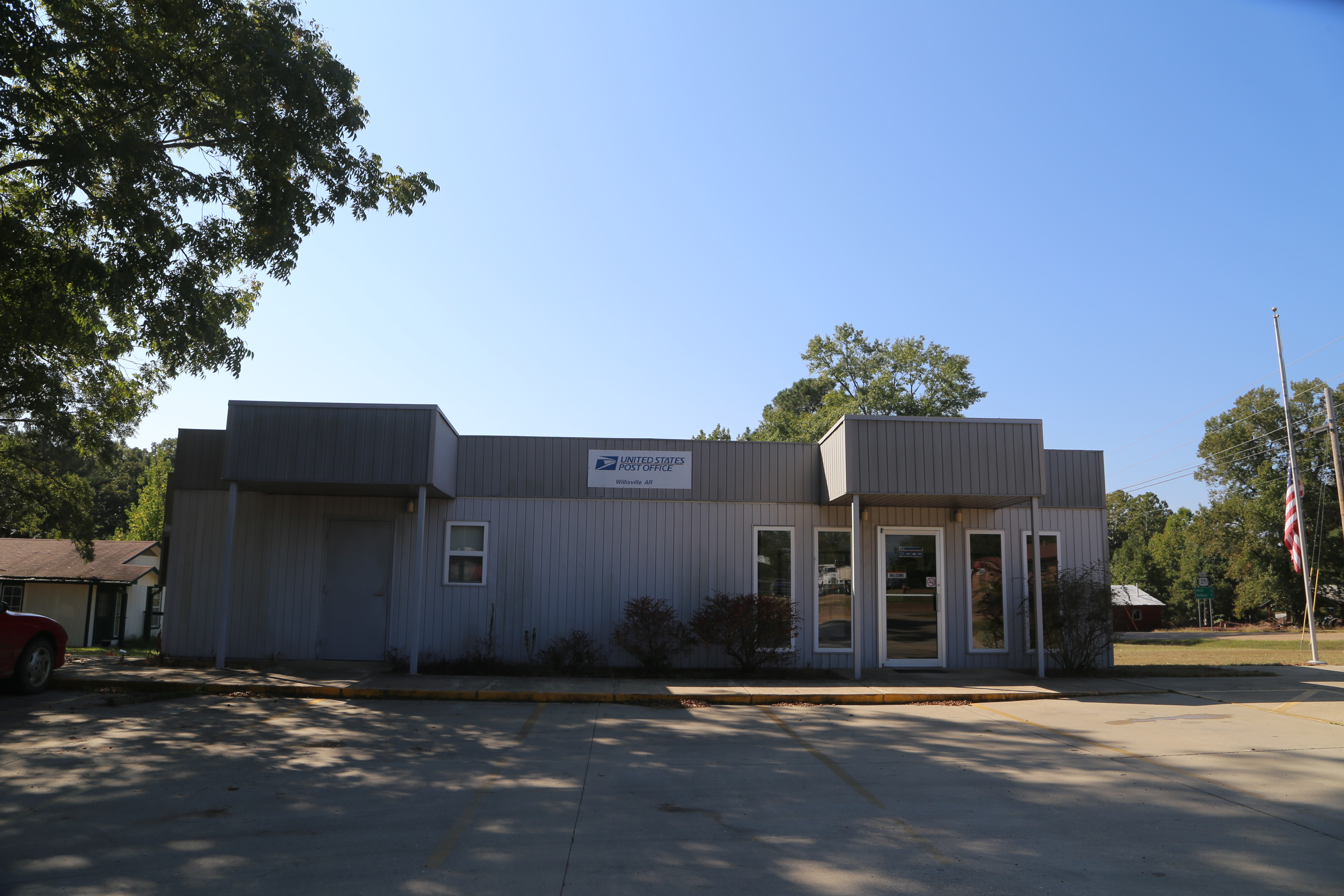
Willisville Akansas, Post Office, 71864, Nevada County AR
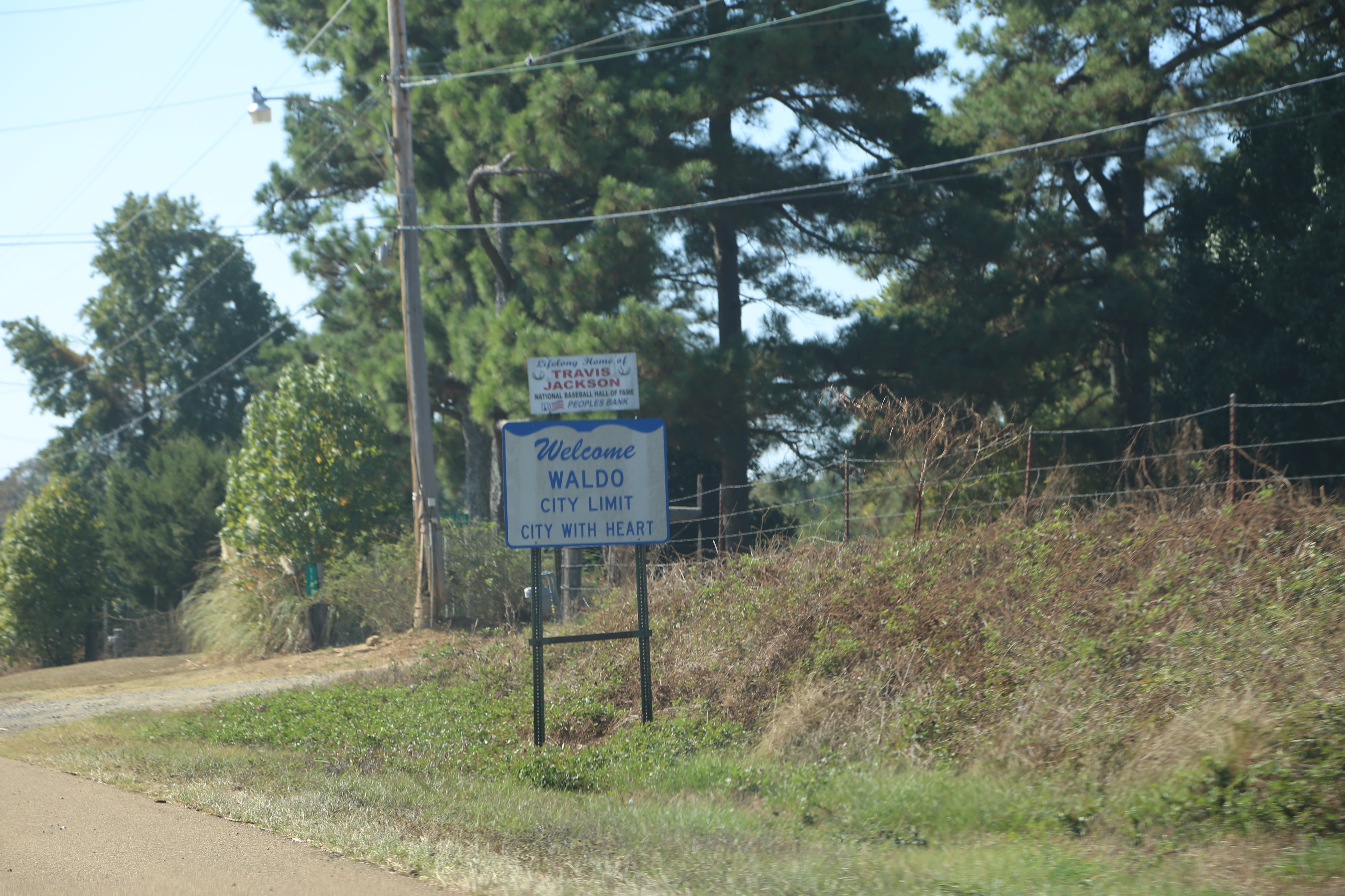
Waldo Arkansas, Columbia County AR
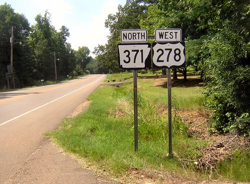
Arkansas 371
Topographic Map of Taylor Township, AR, USA
Find elevation by address:

Places in Taylor Township, AR, USA:
Places near Taylor Township, AR, USA:
Co Rd 8, Willisville, AR, USA
Willisville
Nevada 4 Rd, Willisville, AR, USA
Rosston Hwy, Rosston, AR, USA
Rosston
Caney Township
298 Nevada 7 Rd
US-, Waldo, AR, USA
US-, Rosston, AR, USA
Columbia Rd 31, Waldo, AR, USA
US-, Rosston, AR, USA
Cale
Westmoreland Dr, Rosston, AR, USA
Parker Township
Columbia Rd 62 W, McNeil, AR, USA
Alabama Township
Nevada Rd, Rosston, AR, USA
Waldo Township
Bodcaw
AR-53, Buckner, AR, USA
Recent Searches:
- Elevation of Village Ln, Finleyville, PA, USA
- Elevation of 24 Oakland Rd #, Scotland, ON N0E 1R0, Canada
- Elevation of Deep Gap Farm Rd E, Mill Spring, NC, USA
- Elevation of Dog Leg Dr, Minden, NV, USA
- Elevation of Dog Leg Dr, Minden, NV, USA
- Elevation of Kambingan Sa Pansol Atbp., Purok 7 Pansol, Candaba, Pampanga, Philippines
- Elevation of Pinewood Dr, New Bern, NC, USA
- Elevation of Mountain View, CA, USA
- Elevation of Foligno, Province of Perugia, Italy
- Elevation of Blauwestad, Netherlands