Elevation of Columbia Rd 1, Stamps, AR, USA
Location: United States > Arkansas > Columbia County > Taylor Township >
Longitude: -93.418522
Latitude: 33.1987189
Elevation: 82m / 269feet
Barometric Pressure: 100KPa
Elevation Map:
Satellite Map:
Related Photos:

From Inside (2)

cow birds
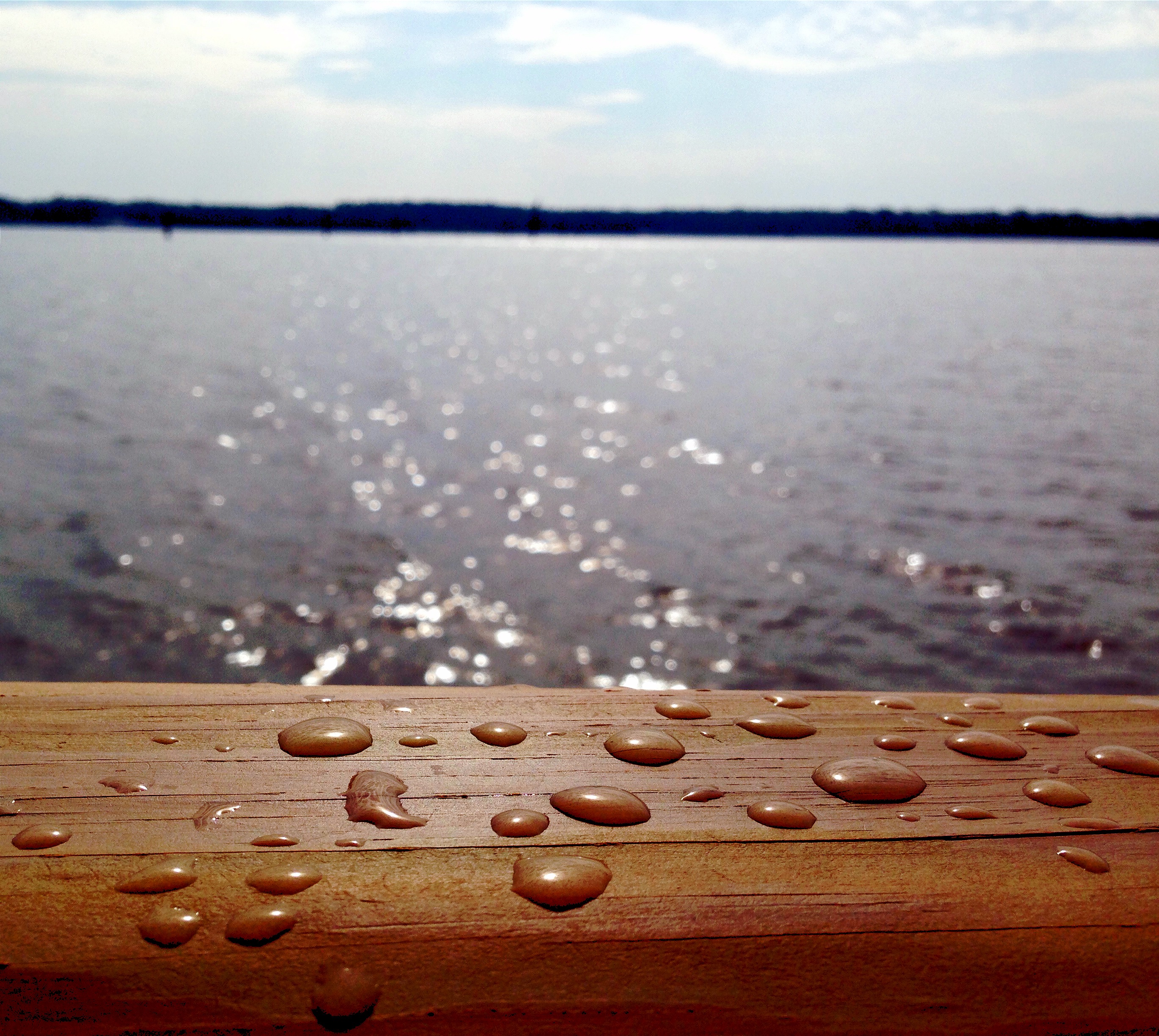
Drops of Jupiter?
Bodcaw Bayou Mars Hill Arkansas

pining for spring

Persimmons are almost ready!

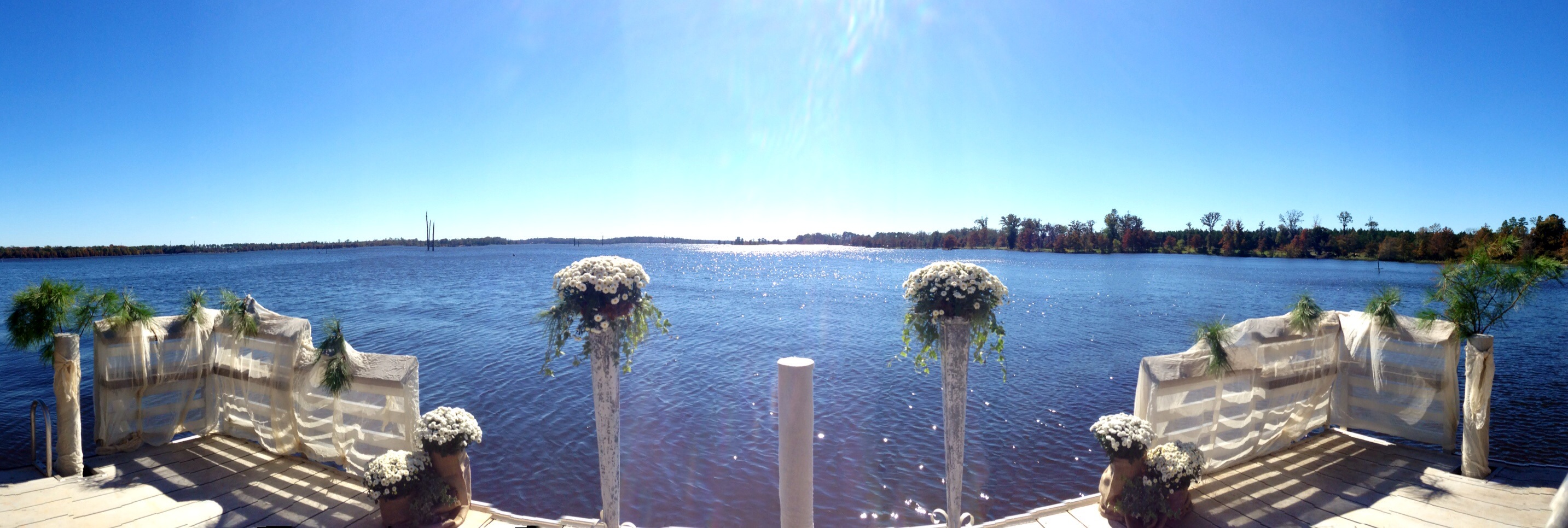
Lake Erling, Arkansas
I'm not going to call him dad. Never! Not even if there's a fire!

Spring BW

our new home
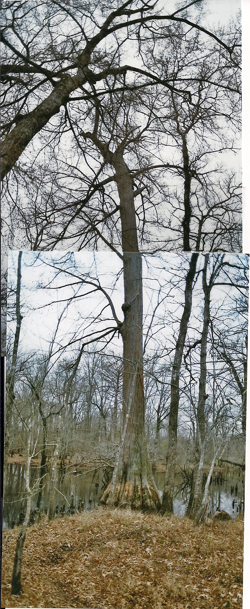
Huge cypress tree
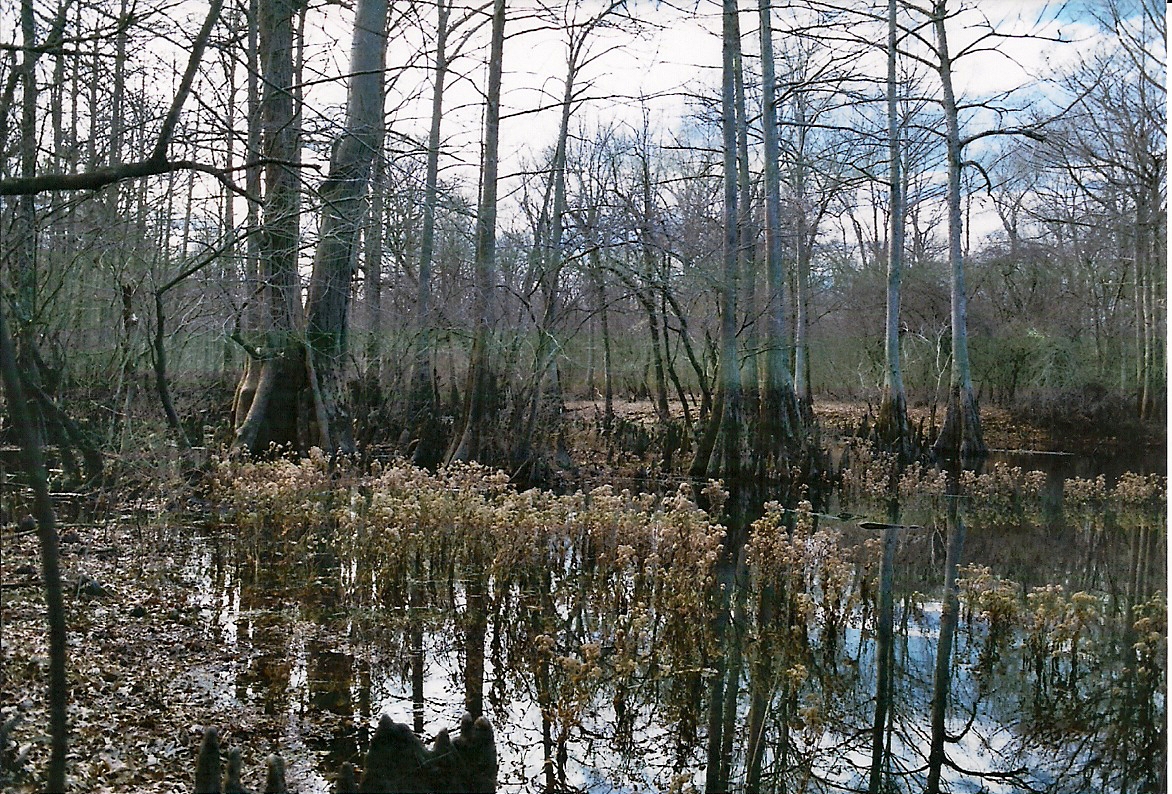
Reflection of huge Cypress tree in Dorcheat Bayou

Troll's home Dorcheat bayou

Piney Woods

snow bird

thankful for washer and dryer

Night Road
Topographic Map of Columbia Rd 1, Stamps, AR, USA
Find elevation by address:

Places near Columbia Rd 1, Stamps, AR, USA:
Taylor Township
Columbia Road 15, Magnolia, AR, USA
US-, Magnolia, AR, USA
County Rd 36, Stamps, AR, USA
Walker Creek Township
Taylor
AR-, Taylor, AR, USA
Columbia Rd 19, Taylor, AR, USA
Columbia Rd 54, Waldo, AR, USA
Buckner
W Myrtle St, Buckner, AR, USA
Mars Hill Township
1116 Gravel St
US-82, Stamps, AR, USA
Hadley Township
AR-98, Magnolia, AR, USA
US-, Taylor, AR, USA
B and S Dr, Springhill, LA, USA
Magnolia
E McKissack, Waldo, AR, USA
Recent Searches:
- Elevation of Redondo Ave, Long Beach, CA, USA
- Elevation of Sadovaya Ulitsa, 20, Rezh, Sverdlovskaya oblast', Russia
- Elevation of Ulitsa Kalinina, 79, Rezh, Sverdlovskaya oblast', Russia
- Elevation of 72-31 Metropolitan Ave, Middle Village, NY, USA
- Elevation of 76 Metropolitan Ave, Brooklyn, NY, USA
- Elevation of Alisal Rd, Solvang, CA, USA
- Elevation of Vista Blvd, Sparks, NV, USA
- Elevation of 15th Ave SE, St. Petersburg, FL, USA
- Elevation of Beall Road, Beall Rd, Florida, USA
- Elevation of Leguwa, Nepal