Elevation of Taylor, AR, USA
Location: United States > Arkansas > Columbia County > Taylor Township >
Longitude: -93.461006
Latitude: 33.1004108
Elevation: 75m / 246feet
Barometric Pressure: 100KPa
Elevation Map:
Satellite Map:
Related Photos:
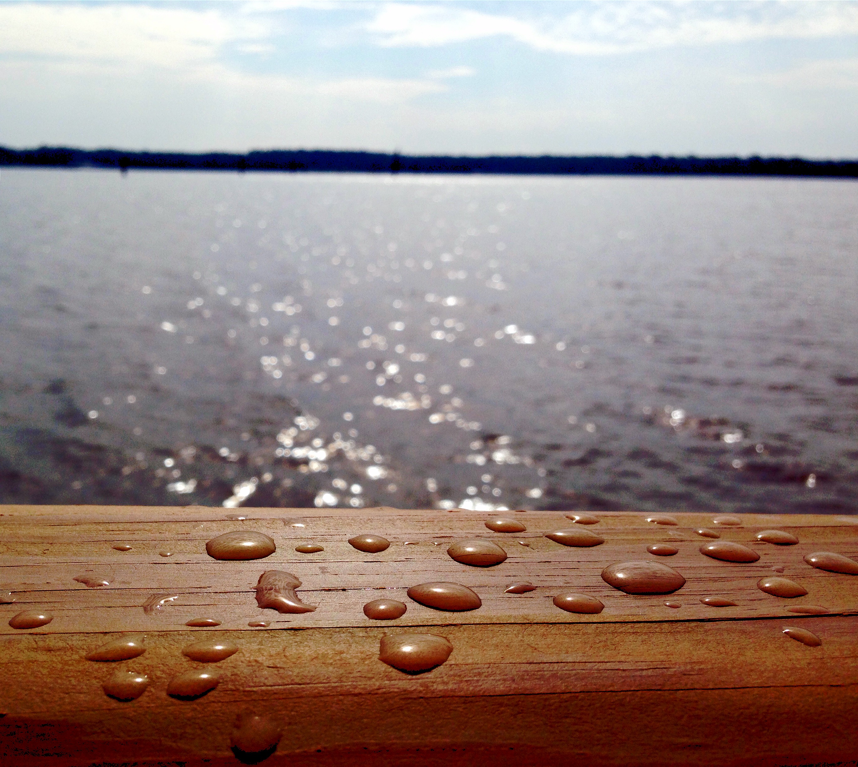
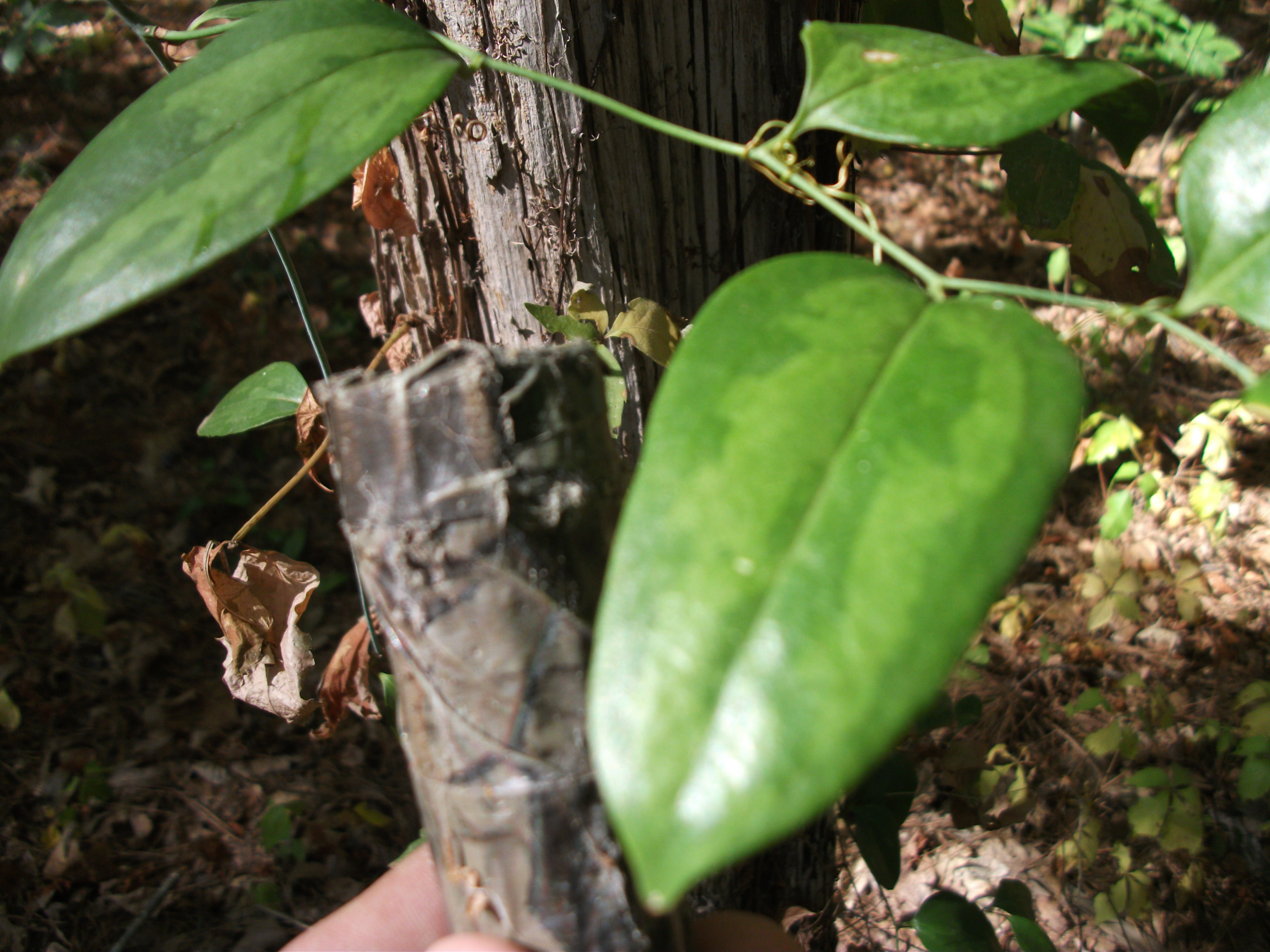
Drops of Jupiter?
Lake Erling - boat ramp
Not here
Dried up Swamp
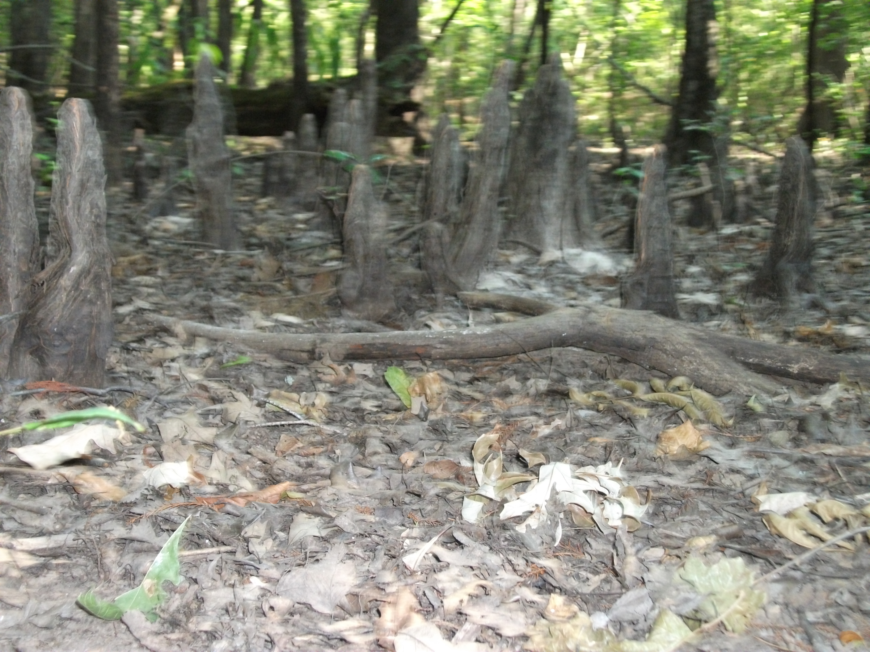
Dried up Swamp
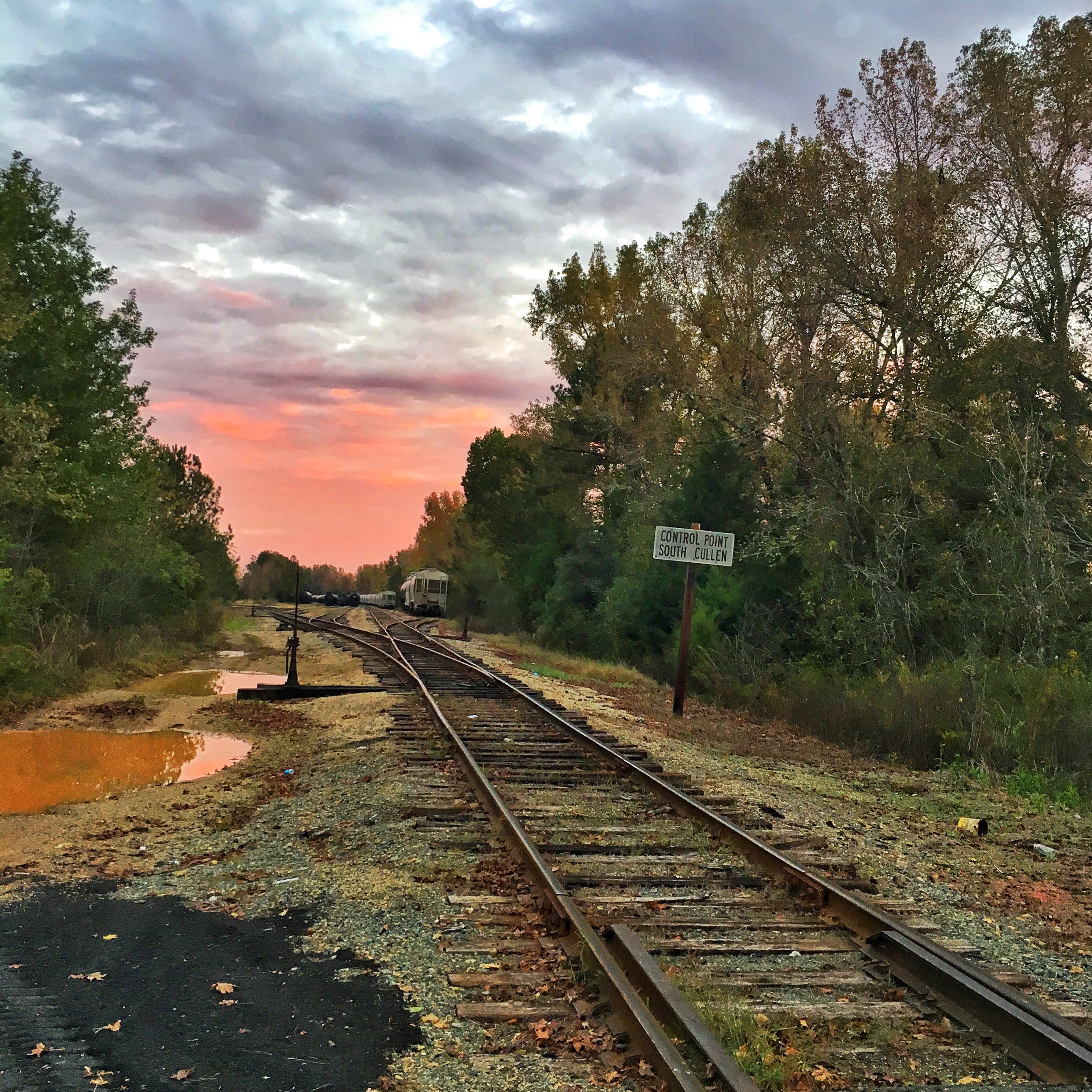
Control Station

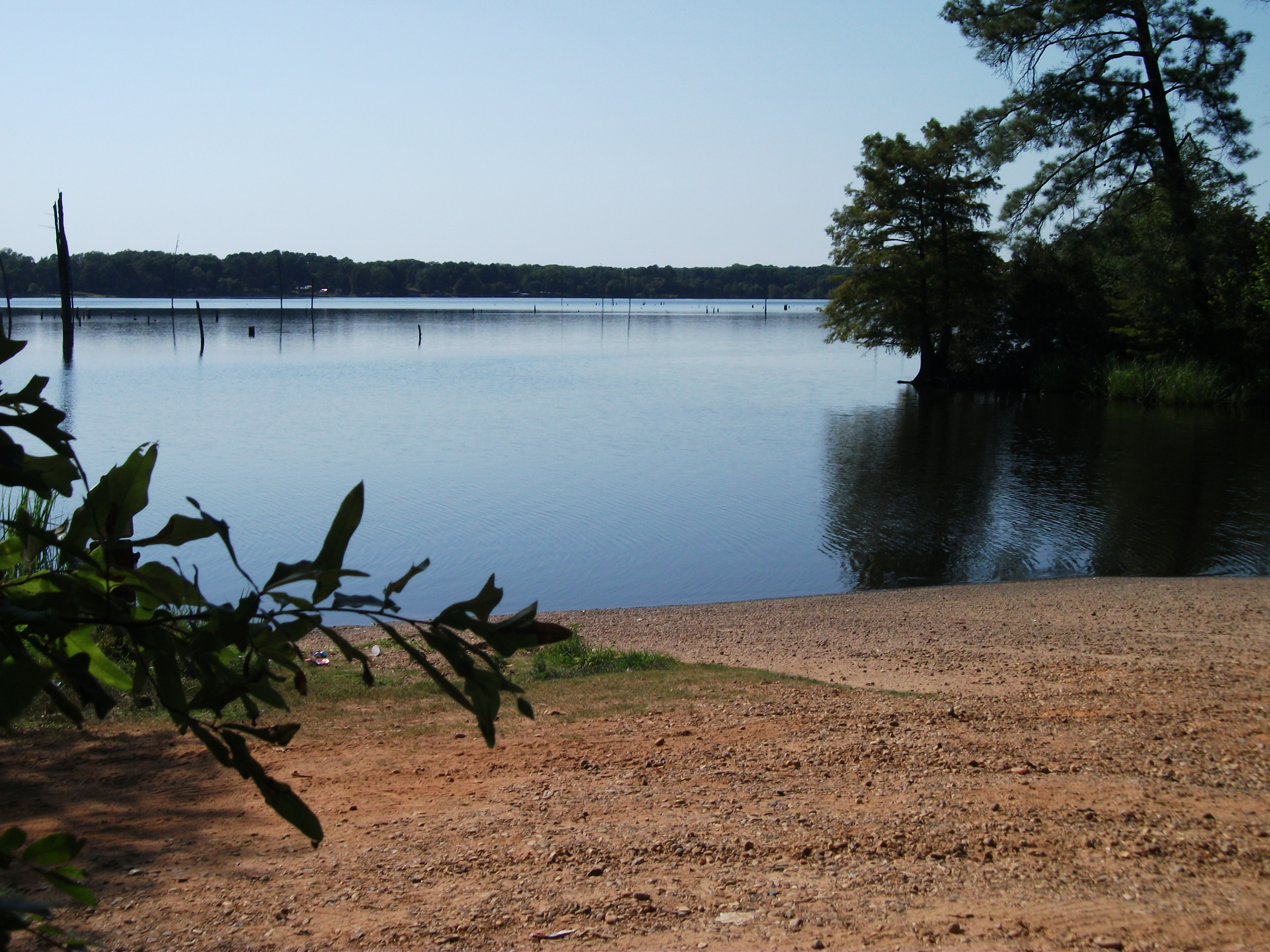
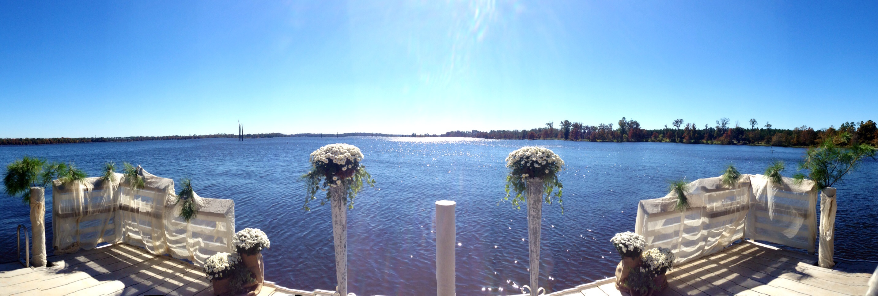
Lake Erling, Arkansas
I'm not going to call him dad. Never! Not even if there's a fire!
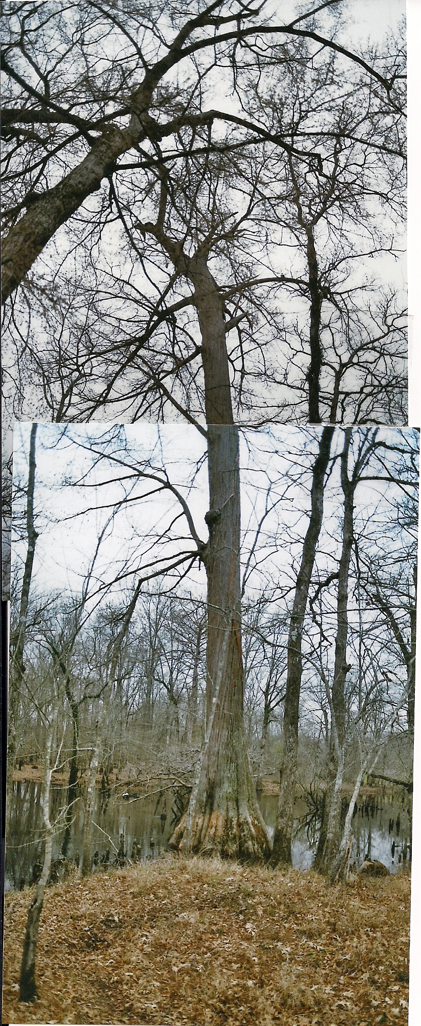
Huge cypress tree
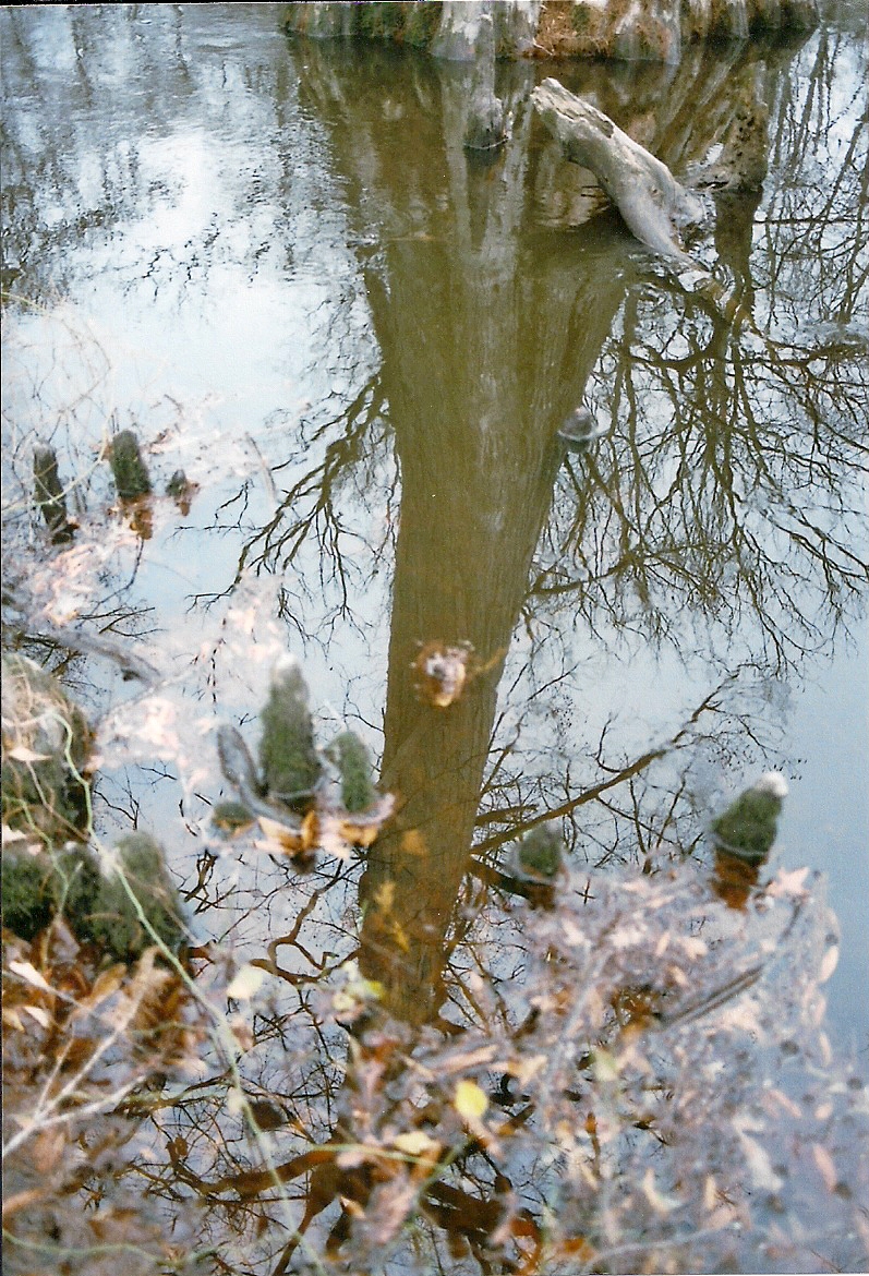
Reflection of huge Cypress tree in Dorcheat Bayou

Troll's home Dorcheat bayou

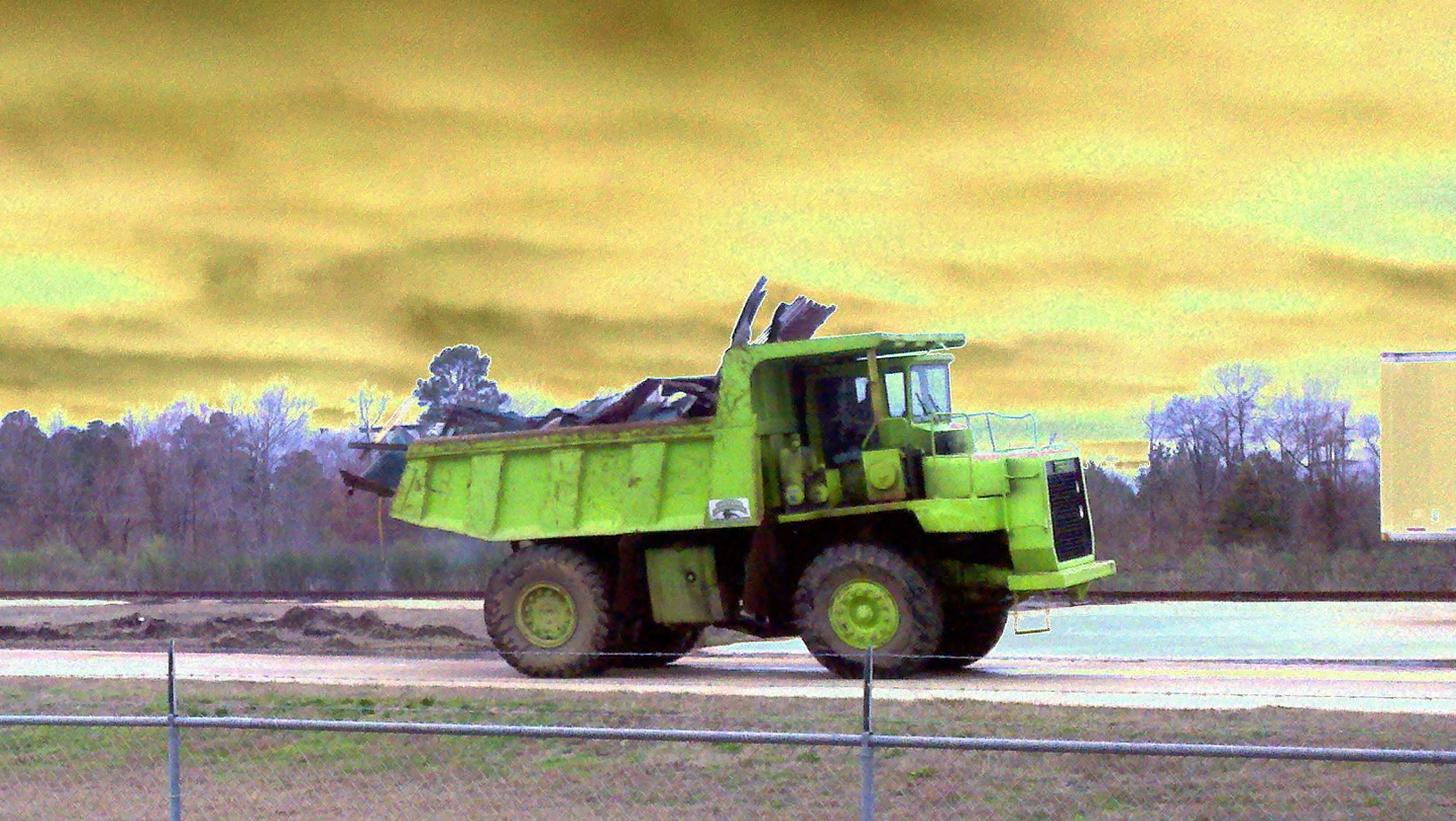
Timber crane bought by a Chinese company
Print this one for Franky

street lamp

red and green

Cajun Christmas Tree

Louisiana Tree

chim chim . . .
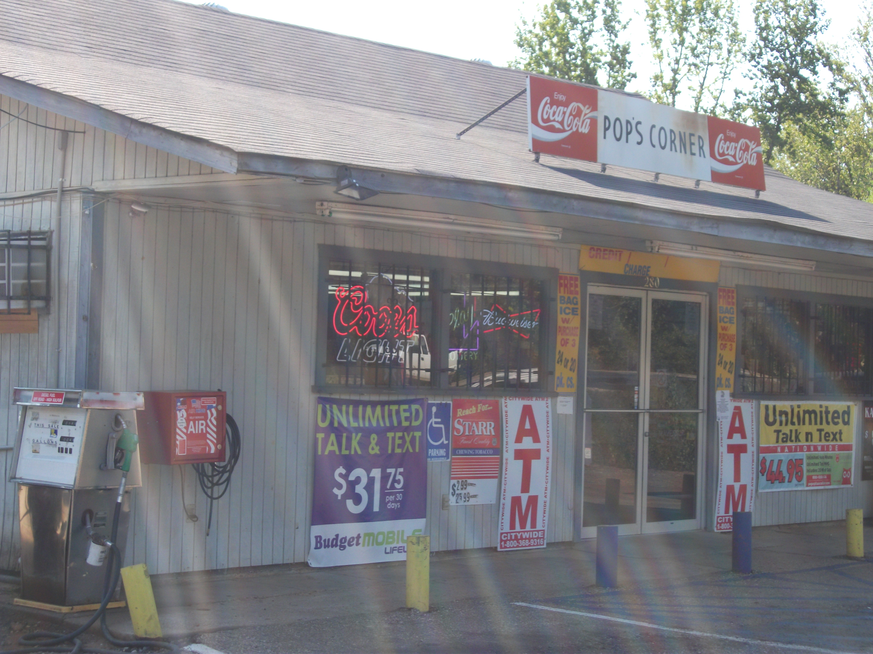
POPS Corner
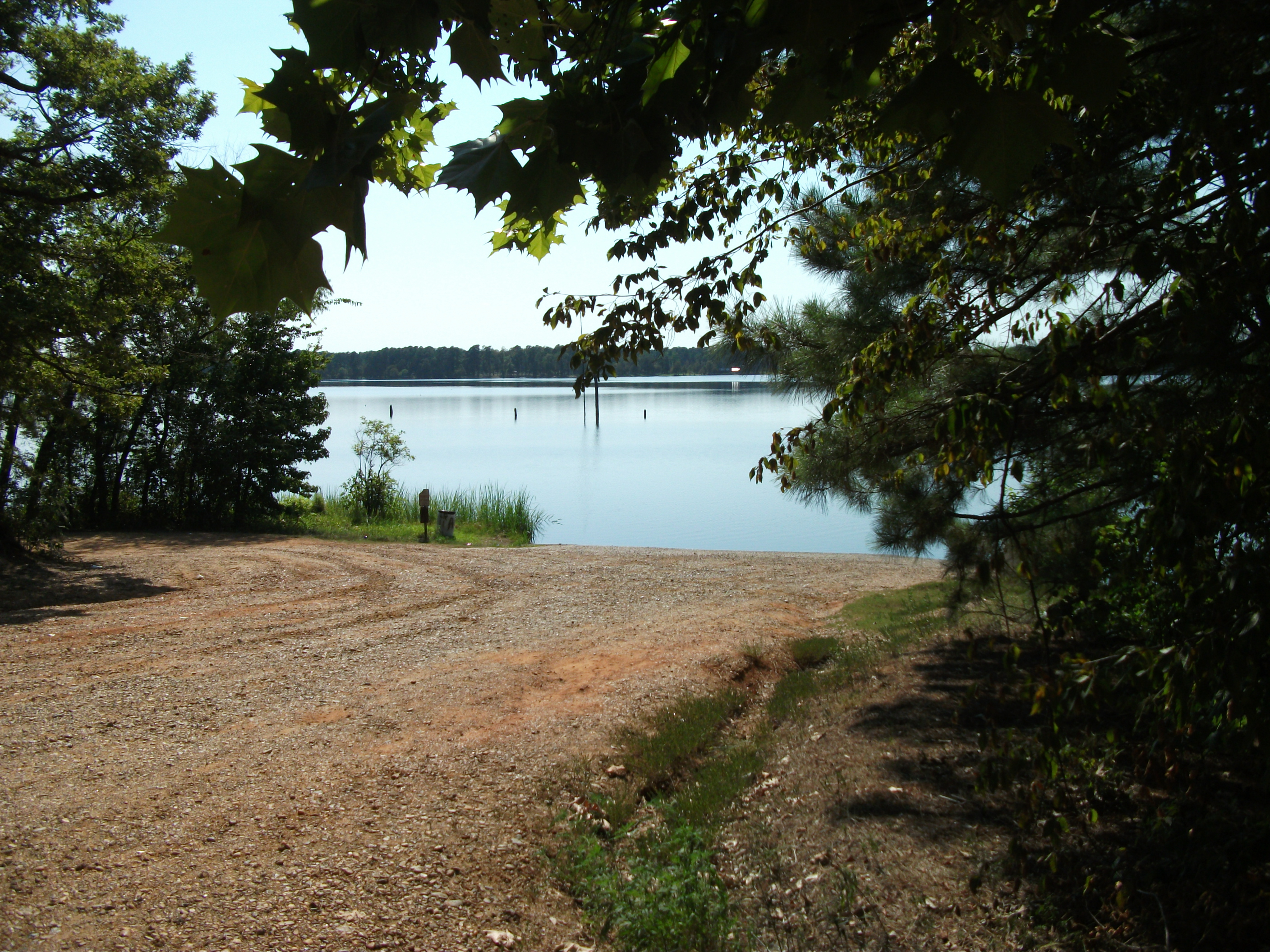
Lake Erling boat ramp
Lake Erling
Topographic Map of Taylor, AR, USA
Find elevation by address:

Places in Taylor, AR, USA:
Places near Taylor, AR, USA:
Taylor Township
AR-, Taylor, AR, USA
Columbia Rd 19, Taylor, AR, USA
US-, Taylor, AR, USA
B and S Dr, Springhill, LA, USA
Center Park Dr, Springhill, LA, USA
Walker Creek Township
Columbia Rd 1, Stamps, AR, USA
Columbia Road 15, Magnolia, AR, USA
M.L.K. Jr. Dr, Springhill, LA, USA
Porterville Rd, Sarepta, LA, USA
County Rd 36, Stamps, AR, USA
3, LA, USA
US-, Magnolia, AR, USA
AR-, Lewisville, AR, USA
Bradley
AR-98, Magnolia, AR, USA
Mars Hill Township
Sarepta
310 Cave St
Recent Searches:
- Elevation of Corso Fratelli Cairoli, 35, Macerata MC, Italy
- Elevation of Tallevast Rd, Sarasota, FL, USA
- Elevation of 4th St E, Sonoma, CA, USA
- Elevation of Black Hollow Rd, Pennsdale, PA, USA
- Elevation of Oakland Ave, Williamsport, PA, USA
- Elevation of Pedrógão Grande, Portugal
- Elevation of Klee Dr, Martinsburg, WV, USA
- Elevation of Via Roma, Pieranica CR, Italy
- Elevation of Tavkvetili Mountain, Georgia
- Elevation of Hartfords Bluff Cir, Mt Pleasant, SC, USA