Elevation of Bradley, AR, USA
Location: United States > Arkansas > Lafayette County > Roane Township >
Longitude: -93.654898
Latitude: 33.0981881
Elevation: 77m / 253feet
Barometric Pressure: 100KPa
Elevation Map:
Satellite Map:
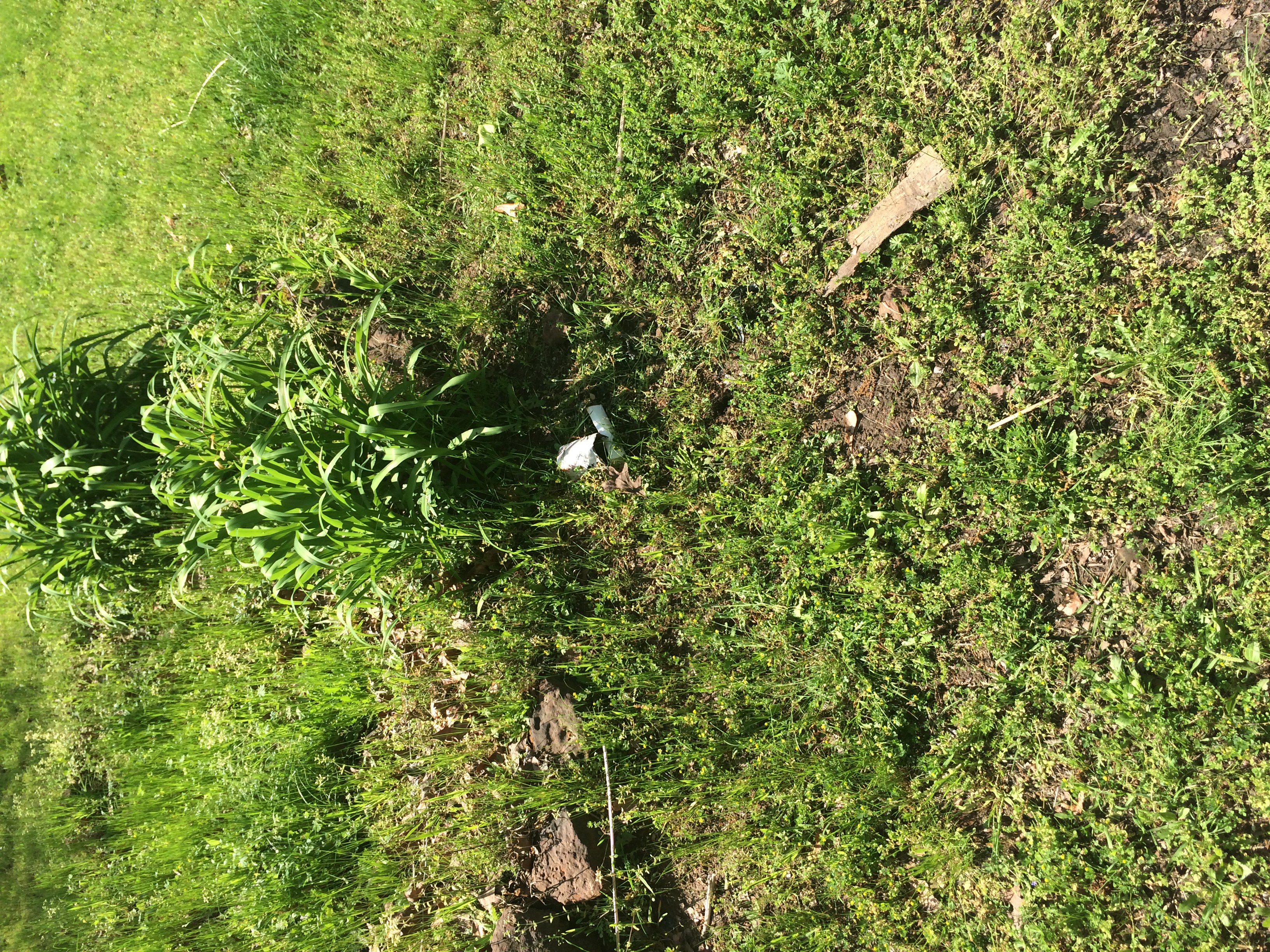
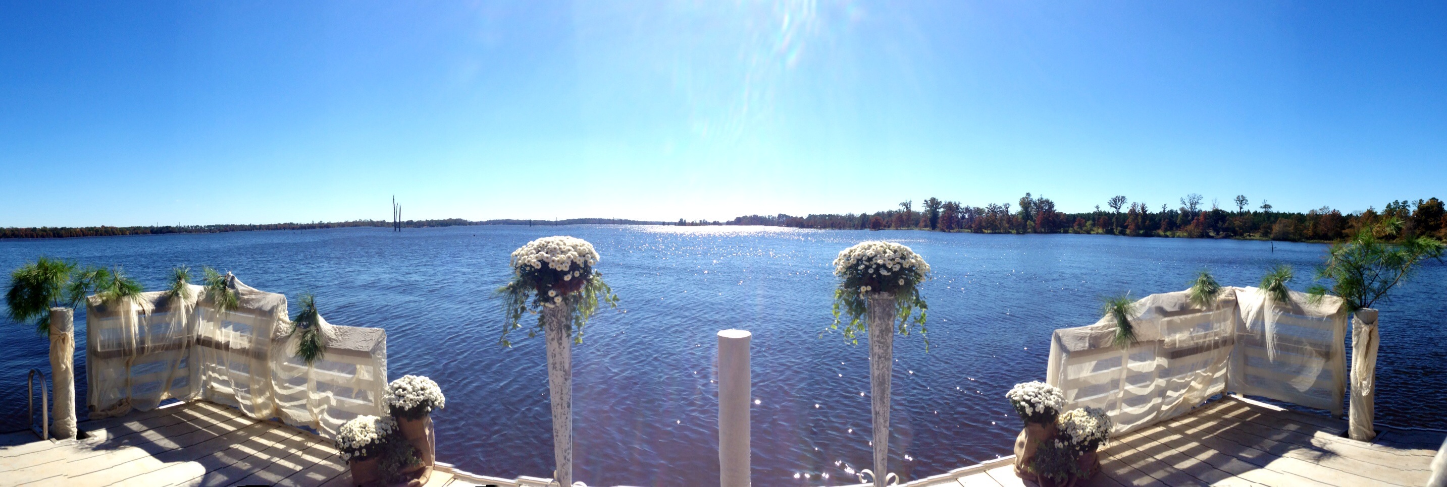
Related Photos:
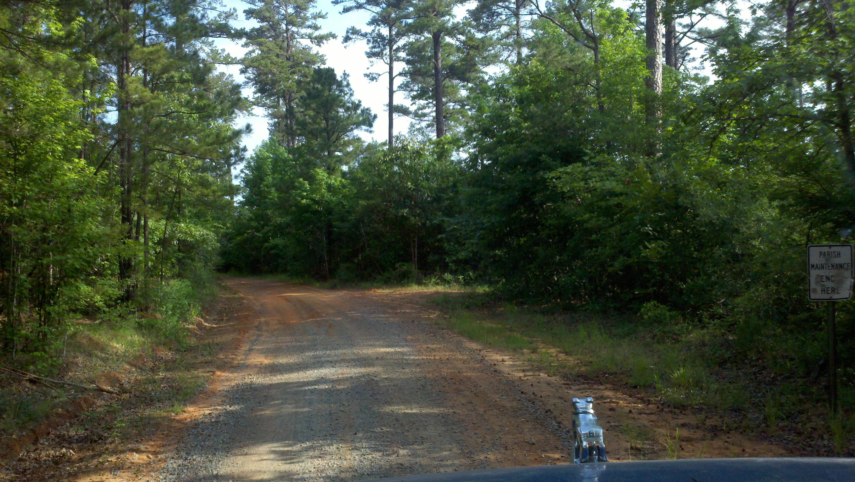
Louisiana Arkansas Stateline
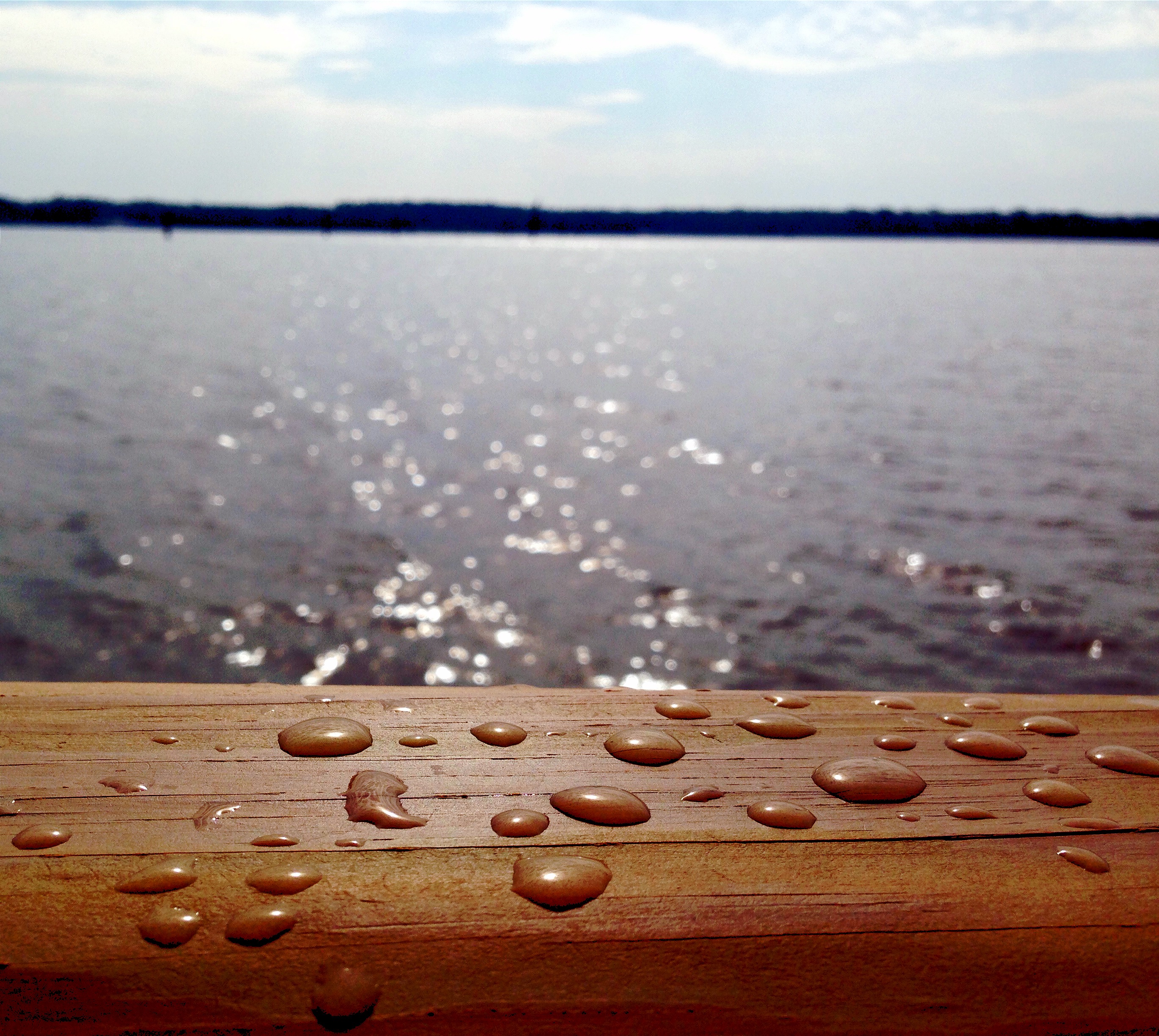
Drops of Jupiter?
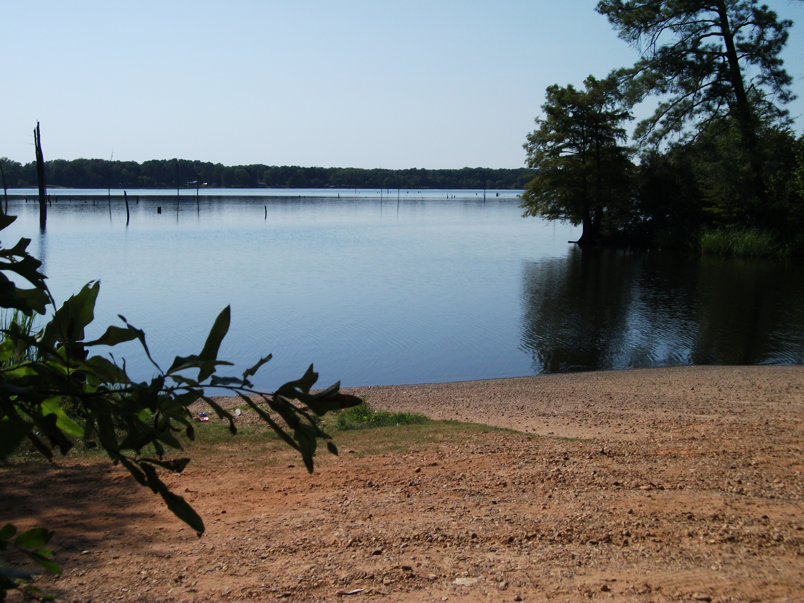
Lake Erling - boat ramp
Not here
What's with-in soon shows it's way

Lake Erling, Arkansas
I'm not going to call him dad. Never! Not even if there's a fire!
Topographic Map of Bradley, AR, USA
Find elevation by address:

Places in Bradley, AR, USA:
Places near Bradley, AR, USA:
AR-, Bradley, AR, USA
Roane Township
AR-, Bradley, AR, USA
AR-, Lewisville, AR, USA
AR-, Taylor, AR, USA
Lafayette County
Bolinger Cutoff Rd, Plain Dealing, LA, USA
Walker Creek Township
Taylor
Plain Dealing
Mars Hill Township
Delaney Road
US-, Taylor, AR, USA
B and S Dr, Springhill, LA, USA
Taylor Township
Center Park Dr, Springhill, LA, USA
County Rd 36, Stamps, AR, USA
Co Rd 9, Fouke, AR, USA
Miller County 40, Fouke, AR, USA
US-71, Bradley, AR, USA
Recent Searches:
- Elevation of Corcoran Ln, Suffolk, VA, USA
- Elevation of Mamala II, Sariaya, Quezon, Philippines
- Elevation of Sarangdanda, Nepal
- Elevation of 7 Waterfall Way, Tomball, TX, USA
- Elevation of SW 57th Ave, Portland, OR, USA
- Elevation of Crocker Dr, Vacaville, CA, USA
- Elevation of Pu Ngaol Community Meeting Hall, HWHM+3X7, Krong Saen Monourom, Cambodia
- Elevation of Royal Ontario Museum, Queens Park, Toronto, ON M5S 2C6, Canada
- Elevation of Groblershoop, South Africa
- Elevation of Power Generation Enterprises | Industrial Diesel Generators, Oak Ave, Canyon Country, CA, USA