Elevation of Magnolia Township, AR, USA
Location: United States > Arkansas > Columbia County >
Longitude: -93.218147
Latitude: 33.262231
Elevation: 86m / 282feet
Barometric Pressure: 100KPa
Elevation Map:
Satellite Map:
Related Photos:
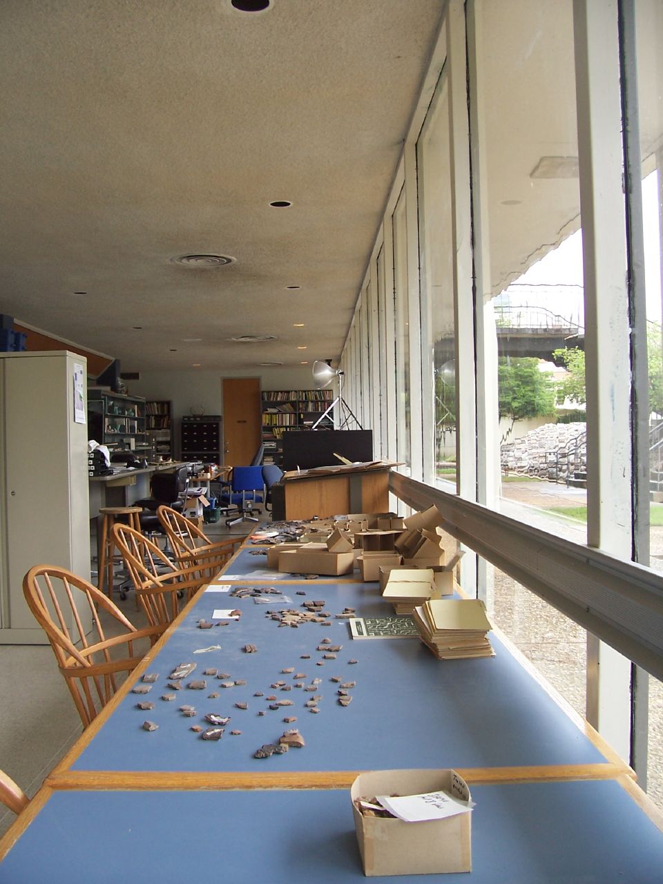
The SAU Research Station
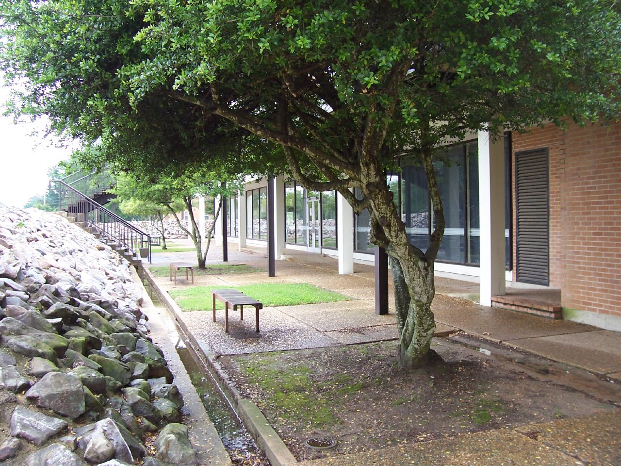
The SAU Research Station
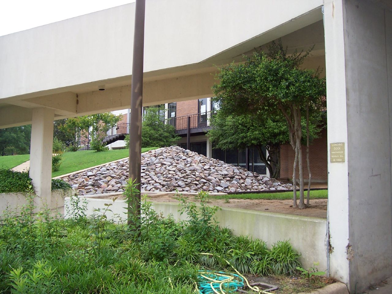
The SAU Research Station

The SAU Research Station
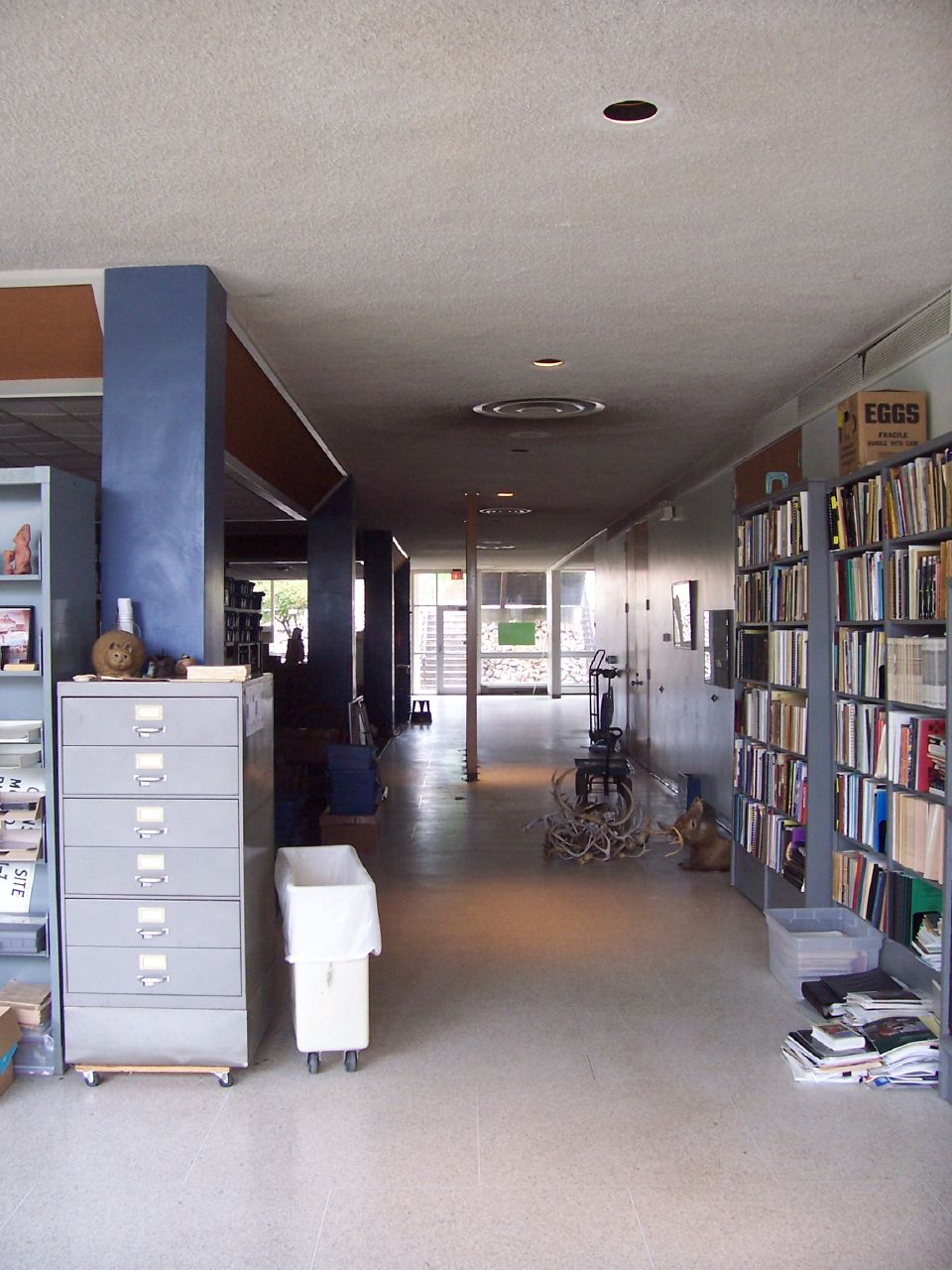
The SAU Research Station
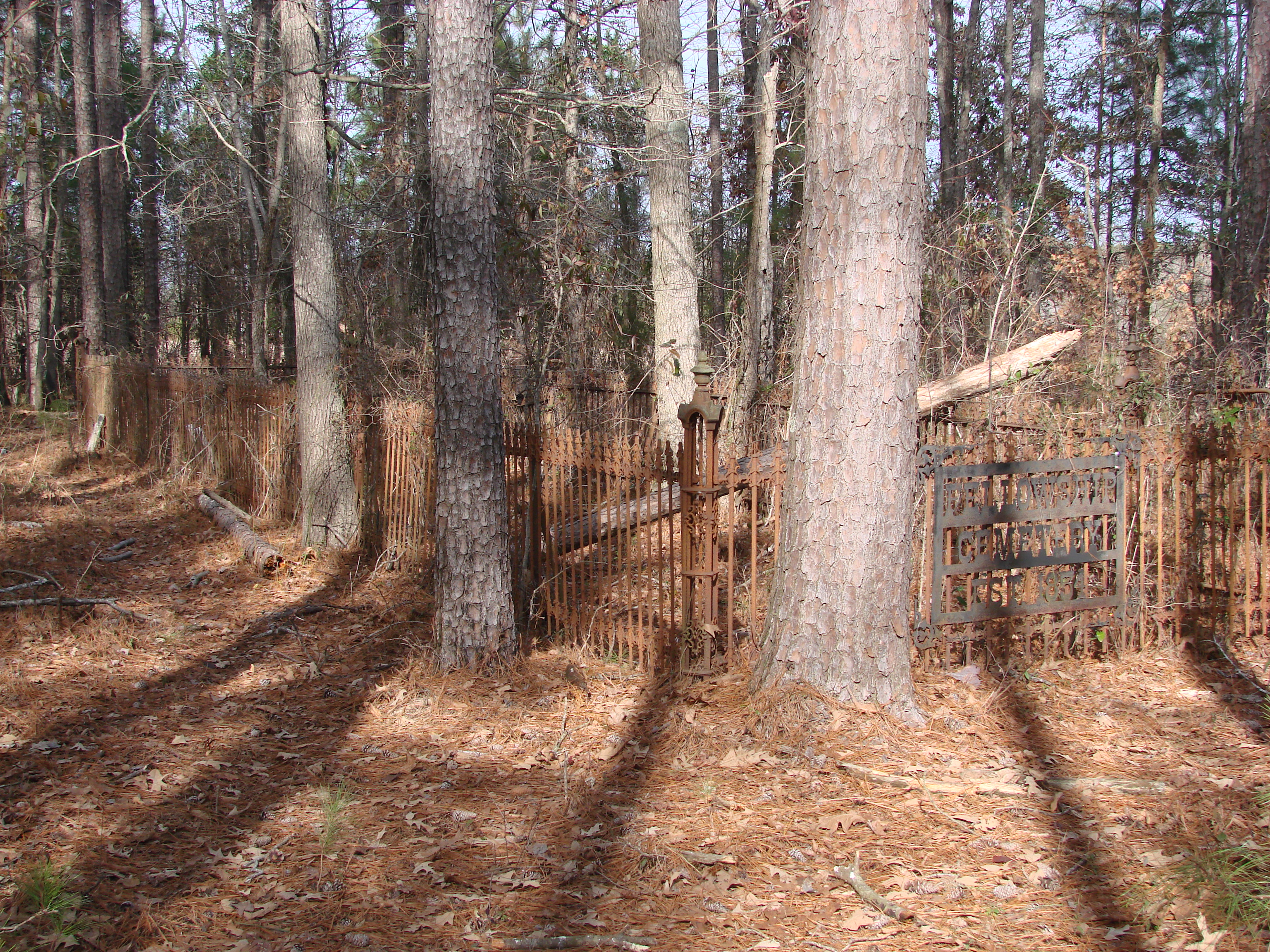
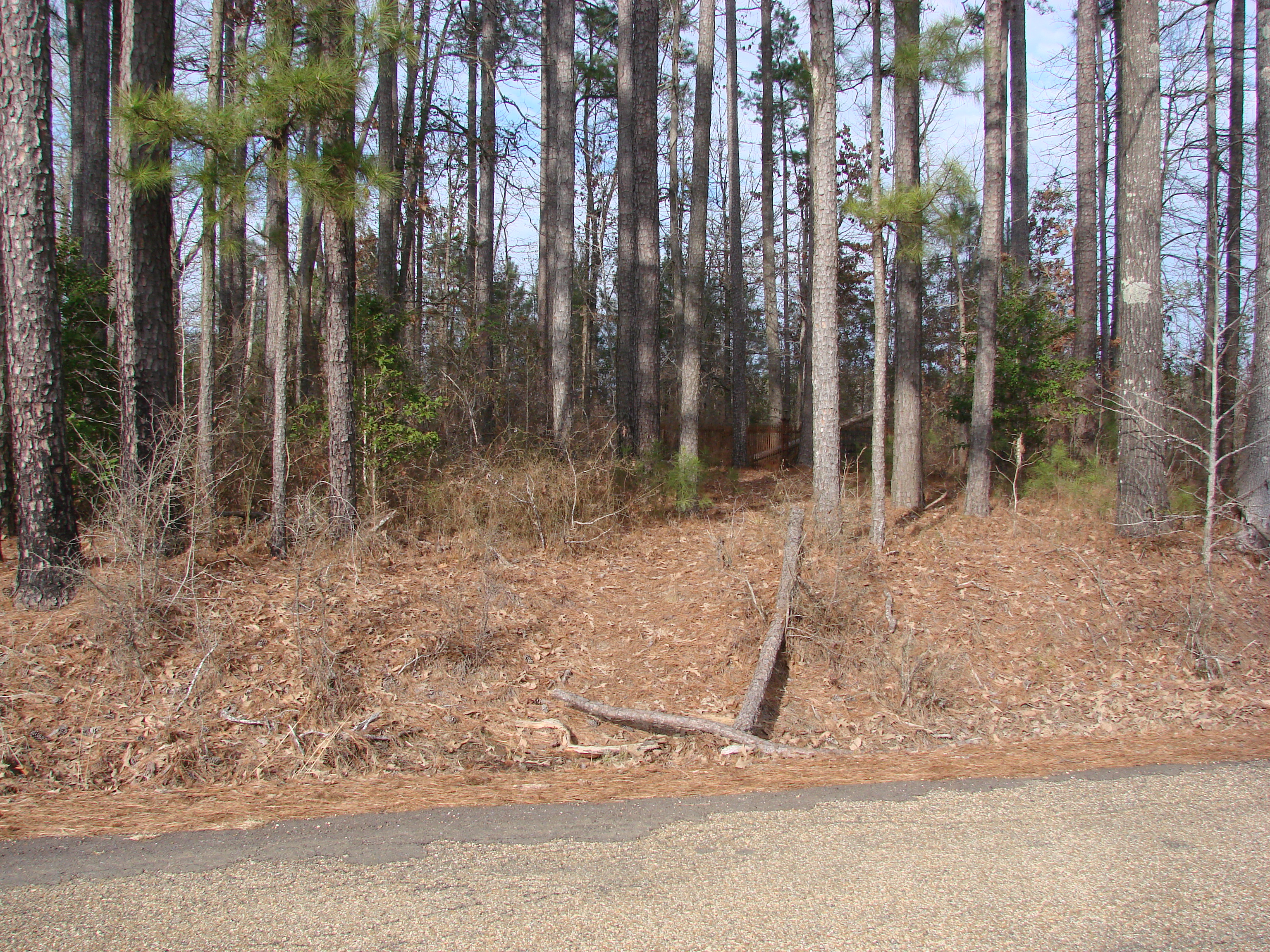
20100120-Fellowship Cemetery Arkansas by Peter-002
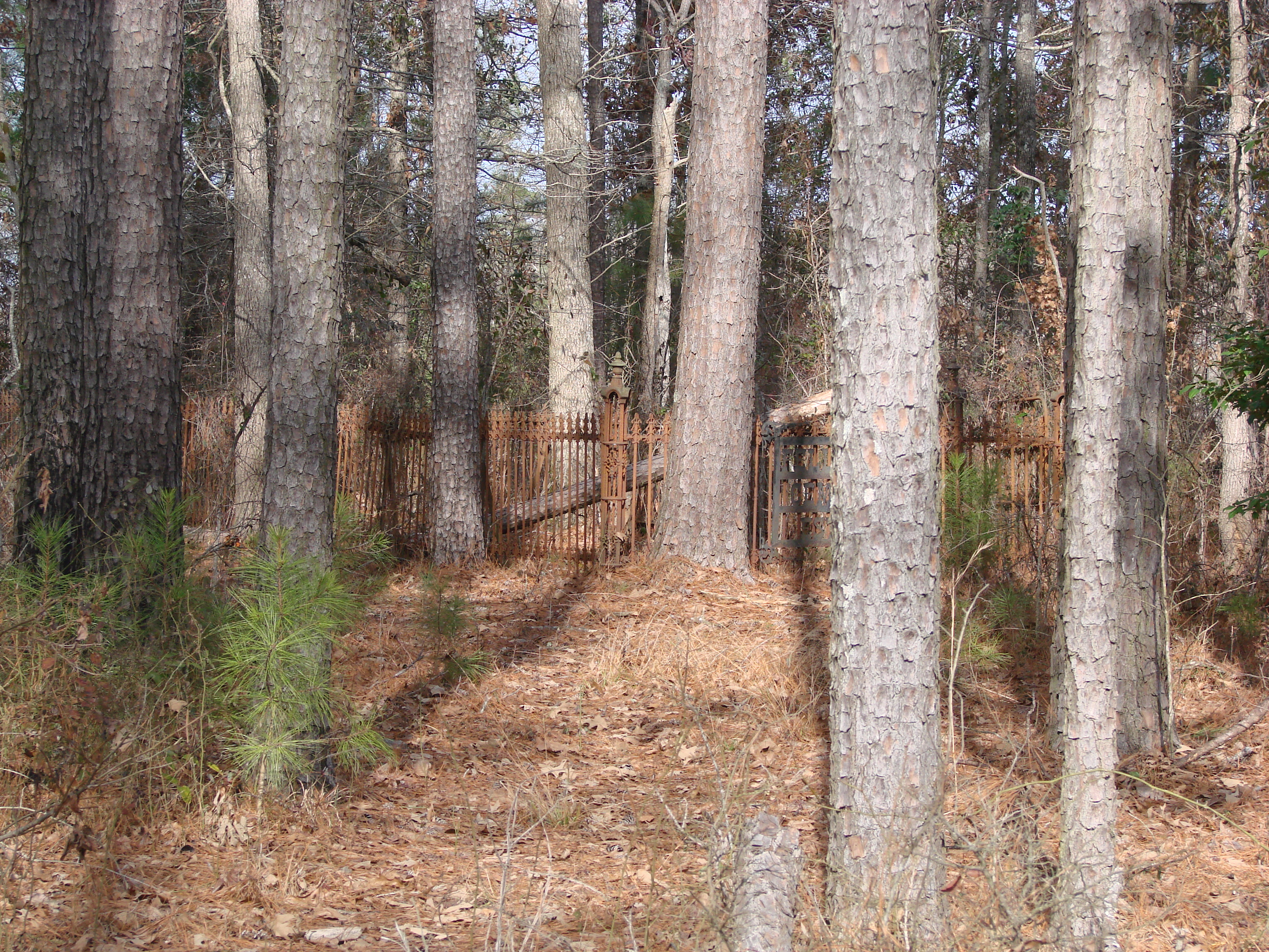
20100120-Fellowship Cemetery Arkansas by Peter-003
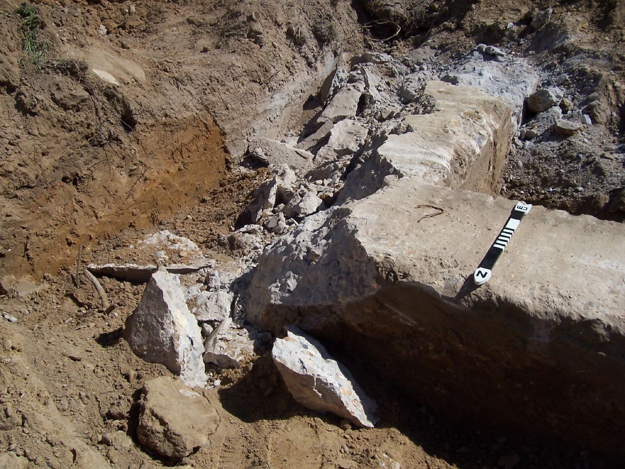
Holt Hall Foundations
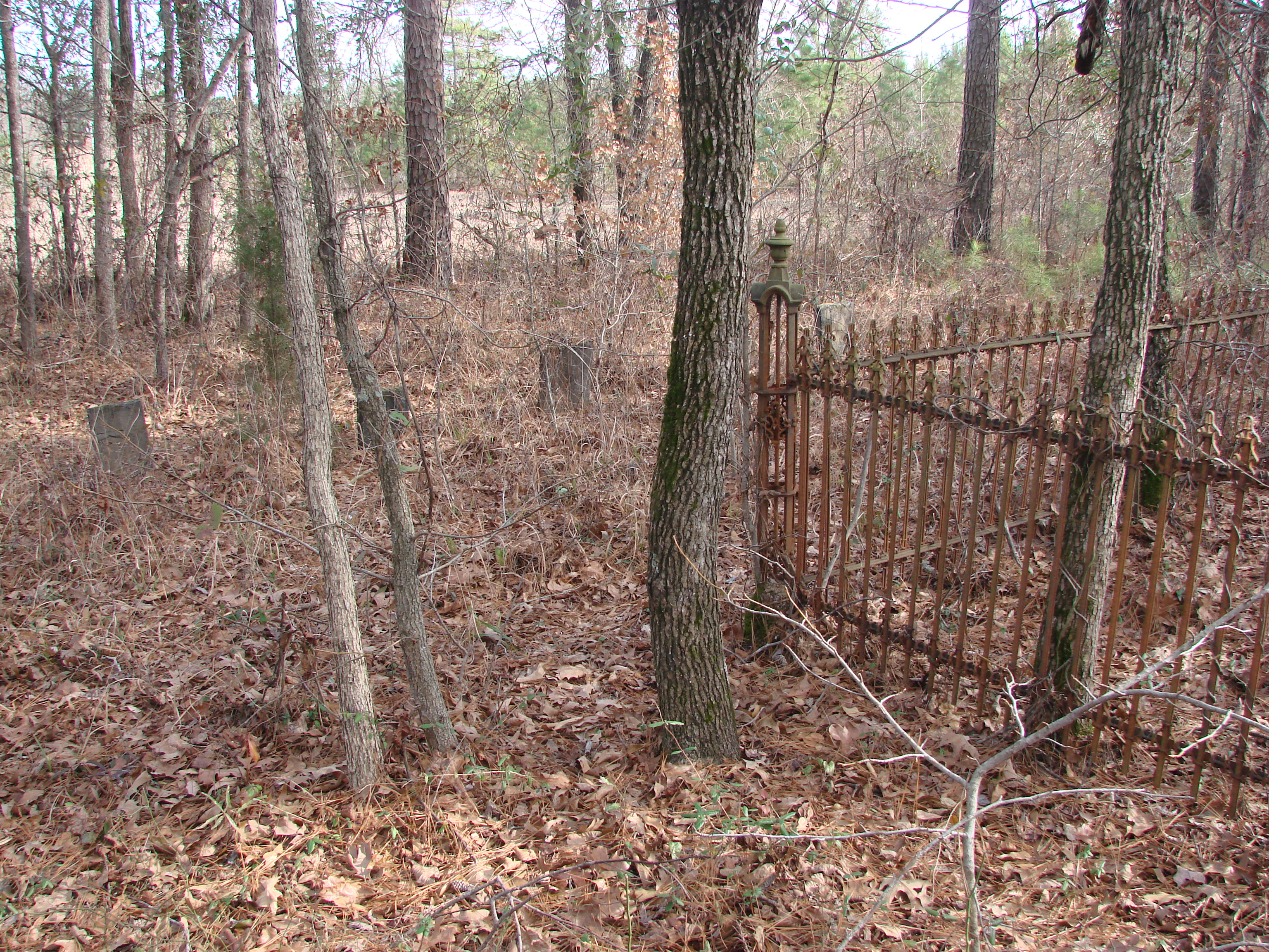
20100120-Fellowship Cemetery Arkansas by Peter-048
20100120-Fellowship Cemetery Arkansas by Peter-045
Holt Hall Foundations
20100120-Fellowship Cemetery Arkansas by Peter-006
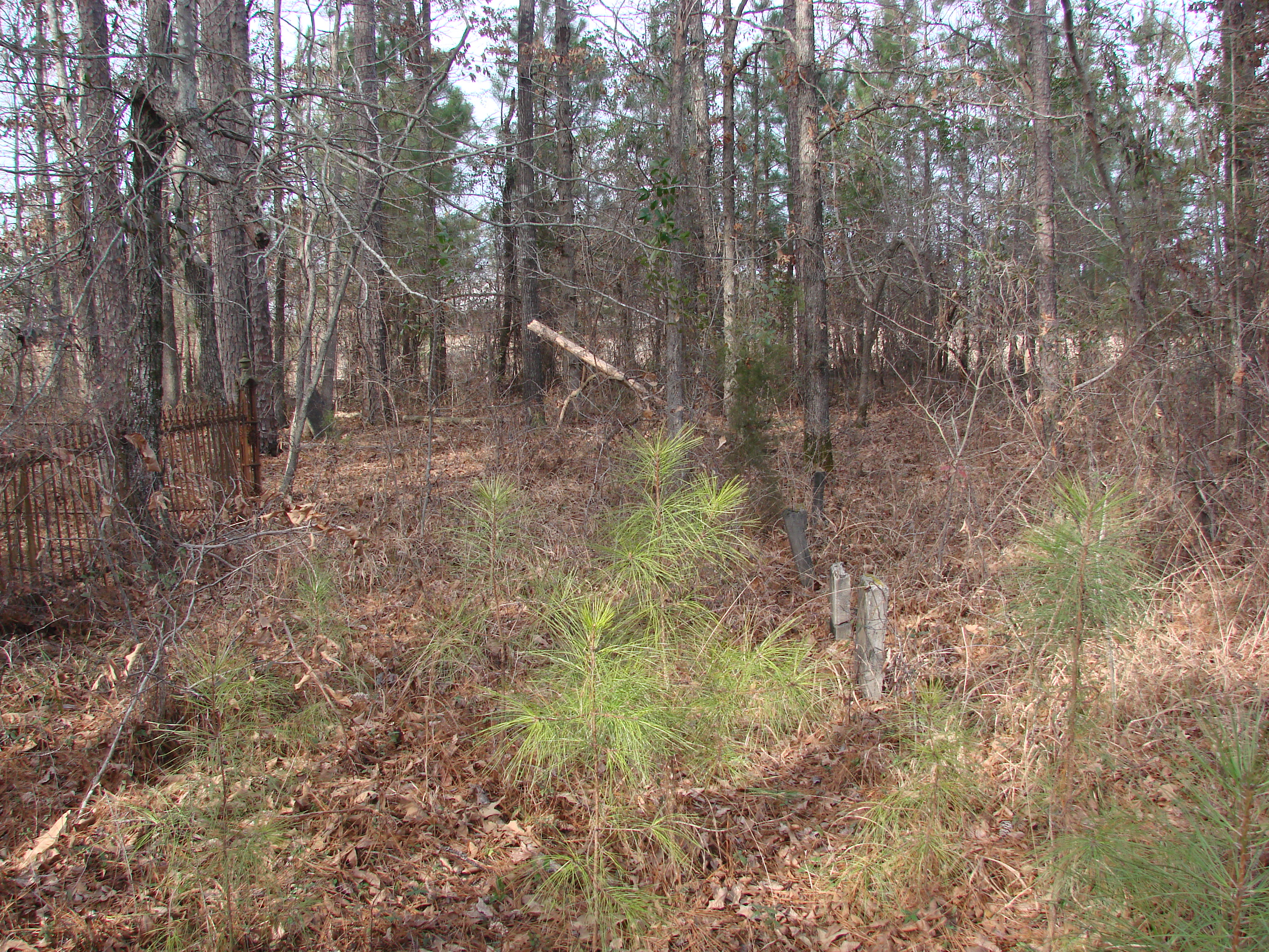
20100120-Fellowship Cemetery Arkansas by Peter-019

cow birds
Topographic Map of Magnolia Township, AR, USA
Find elevation by address:

Places in Magnolia Township, AR, USA:
Places near Magnolia Township, AR, USA:
Magnolia
Columbia Rd 61, Magnolia, AR, USA
Columbia Rd 25, Magnolia, AR, USA
40 Columbia Rd 25
Mcneil
Columbia Rd 61, Magnolia, AR, USA
E McKissack, Waldo, AR, USA
Waldo
Columbia Road 7, Emerson, AR, USA
Waldo Township
Mcneil Township
US-, Magnolia, AR, USA
Columbia County
Columbia Rd 62 W, McNeil, AR, USA
US-, Waldo, AR, USA
AR-98, Magnolia, AR, USA
E Columbia Rd 8, Emerson, AR, USA
Columbia Road 15, Magnolia, AR, USA
Emerson
AR-98, Magnolia, AR, USA
Recent Searches:
- Elevation of Corso Fratelli Cairoli, 35, Macerata MC, Italy
- Elevation of Tallevast Rd, Sarasota, FL, USA
- Elevation of 4th St E, Sonoma, CA, USA
- Elevation of Black Hollow Rd, Pennsdale, PA, USA
- Elevation of Oakland Ave, Williamsport, PA, USA
- Elevation of Pedrógão Grande, Portugal
- Elevation of Klee Dr, Martinsburg, WV, USA
- Elevation of Via Roma, Pieranica CR, Italy
- Elevation of Tavkvetili Mountain, Georgia
- Elevation of Hartfords Bluff Cir, Mt Pleasant, SC, USA