Elevation of Columbia Rd 61, Magnolia, AR, USA
Location: United States > Arkansas > Columbia County > Village Township >
Longitude: -93.120221
Latitude: 33.3188699
Elevation: 109m / 358feet
Barometric Pressure: 100KPa
Elevation Map:
Satellite Map:
Related Photos:
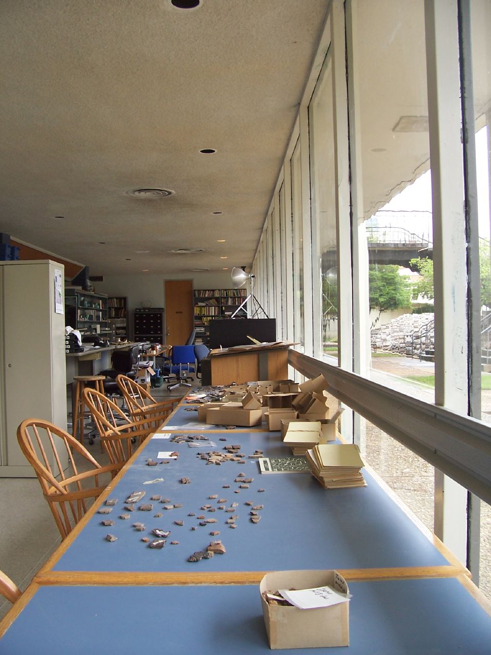
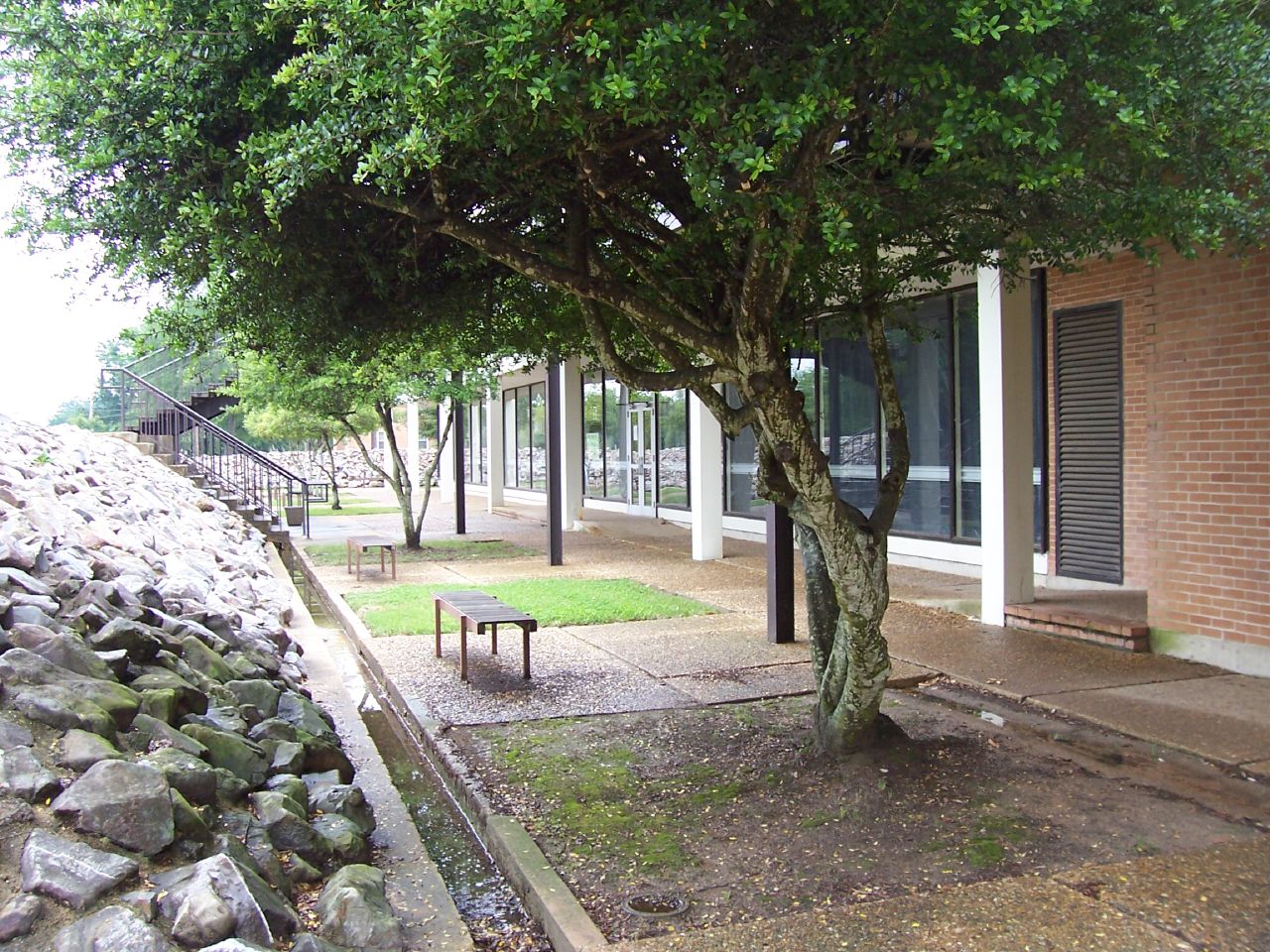
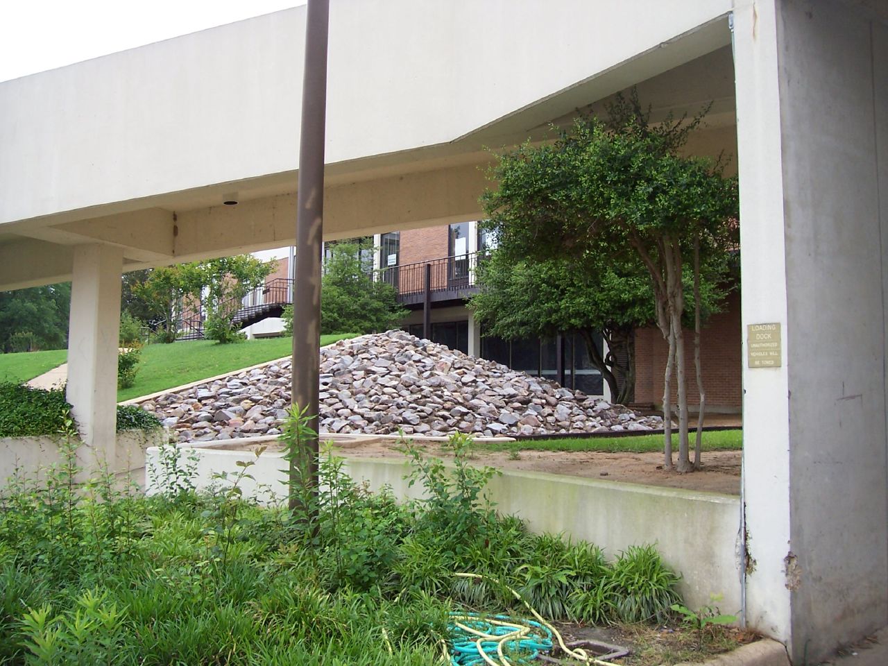
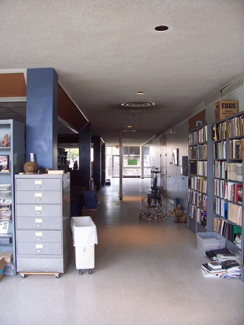
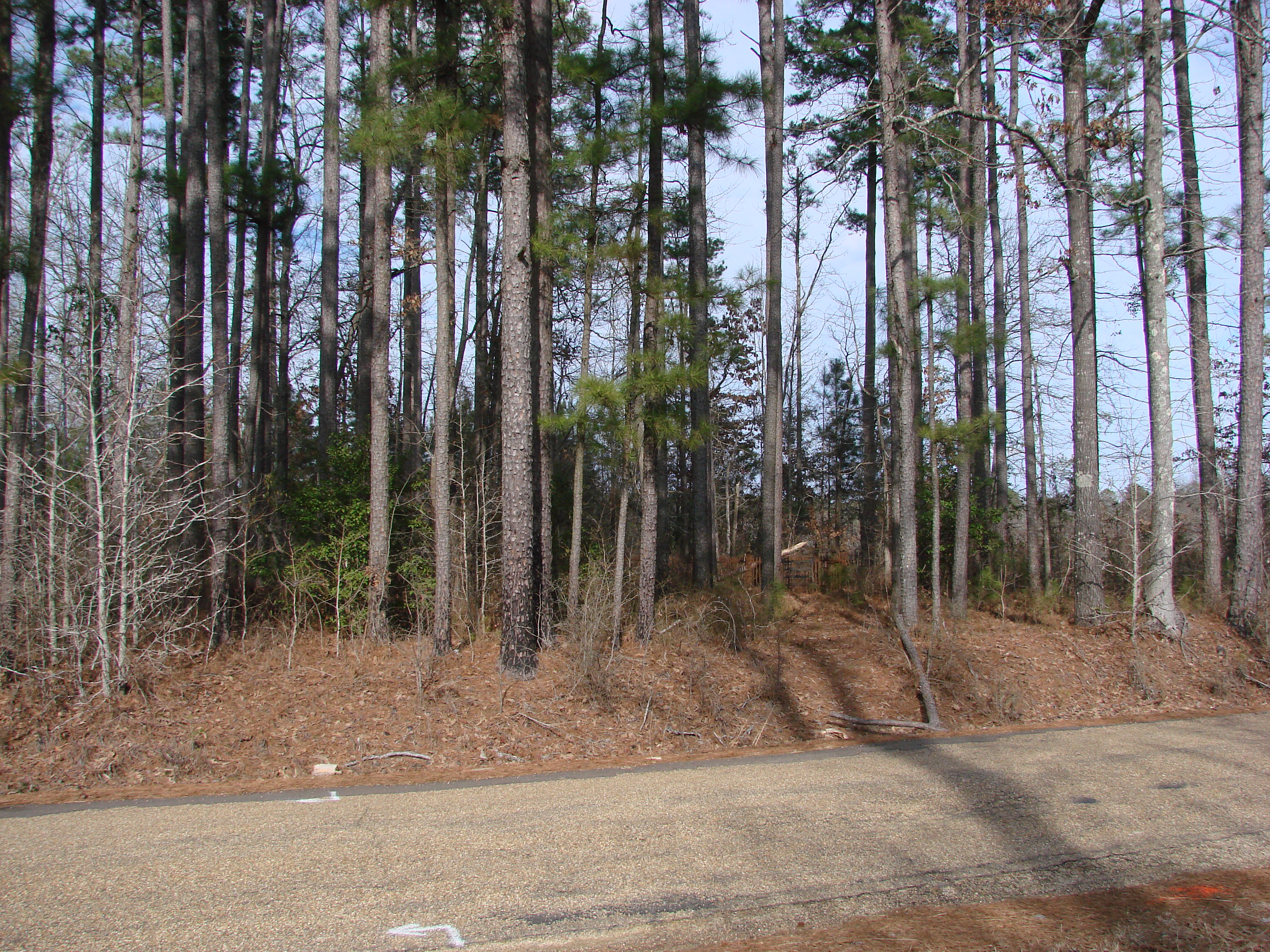
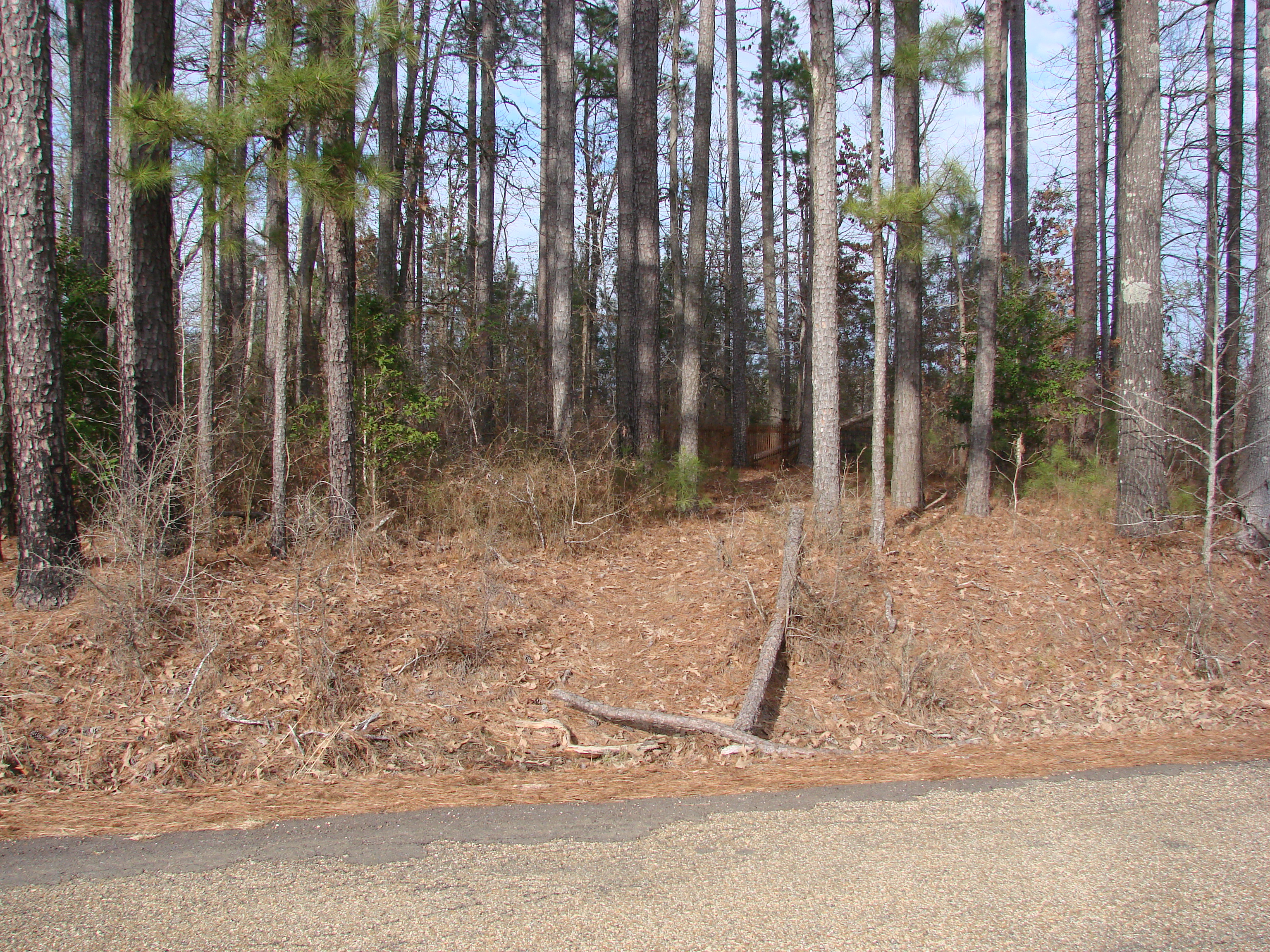
The SAU Research Station
The SAU Research Station
The SAU Research Station

The SAU Research Station
The SAU Research Station
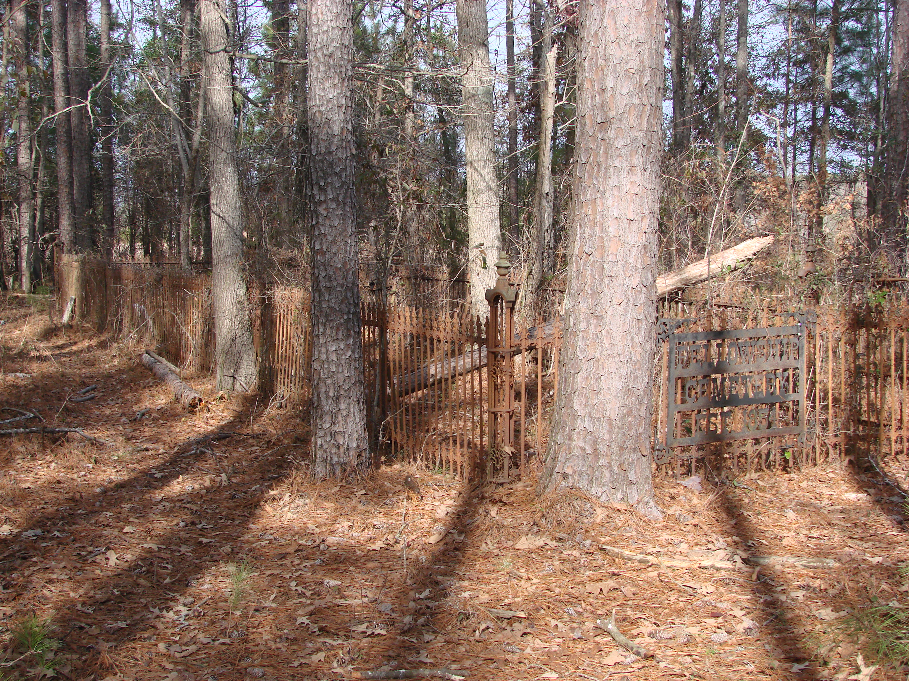
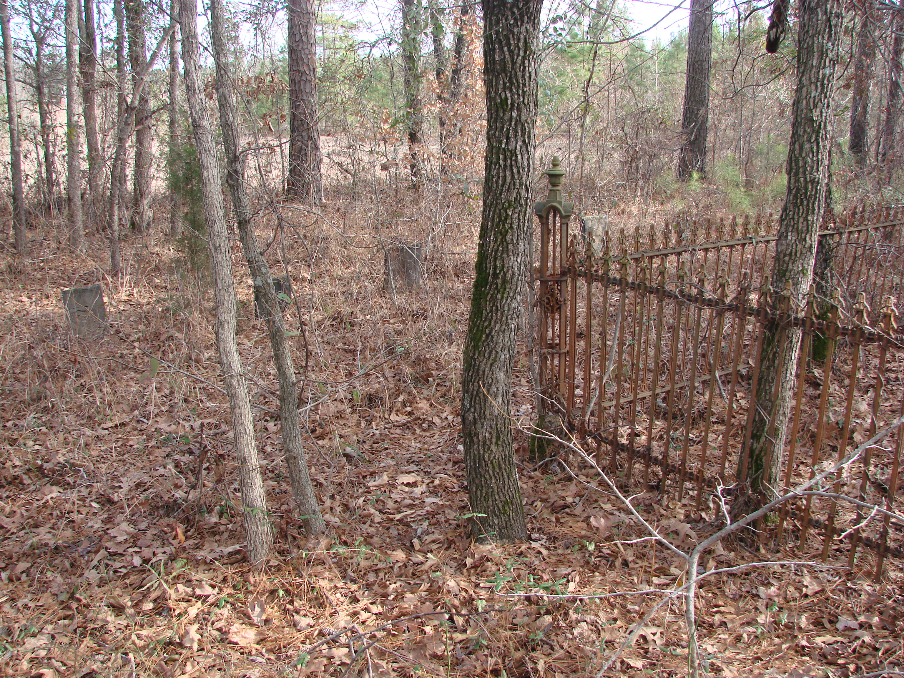
20100120-Fellowship Cemetery Arkansas by Peter-002
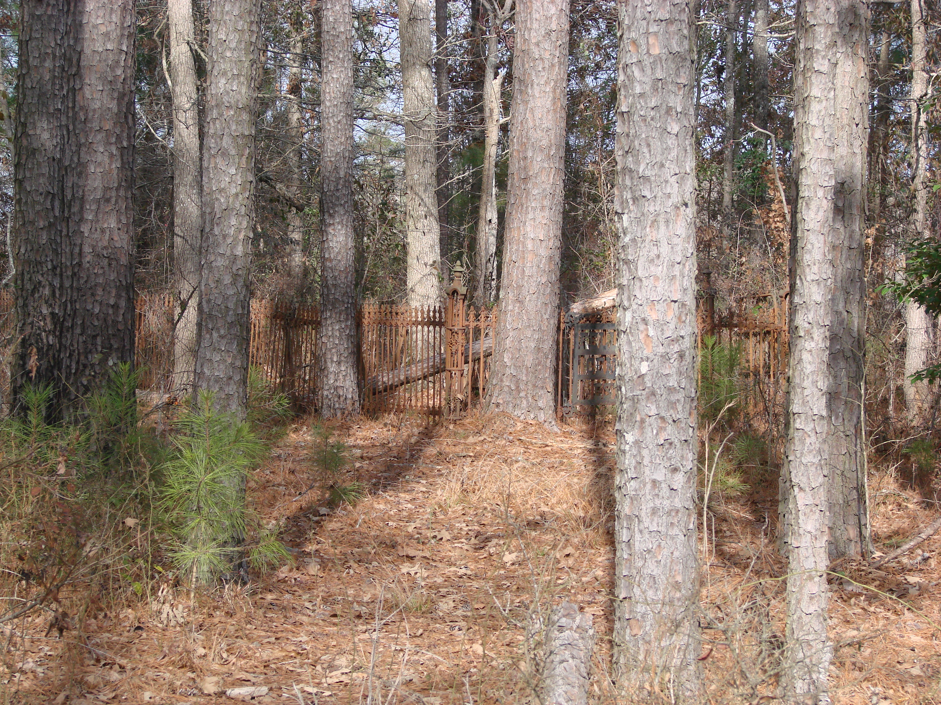
20100120-Fellowship Cemetery Arkansas by Peter-003
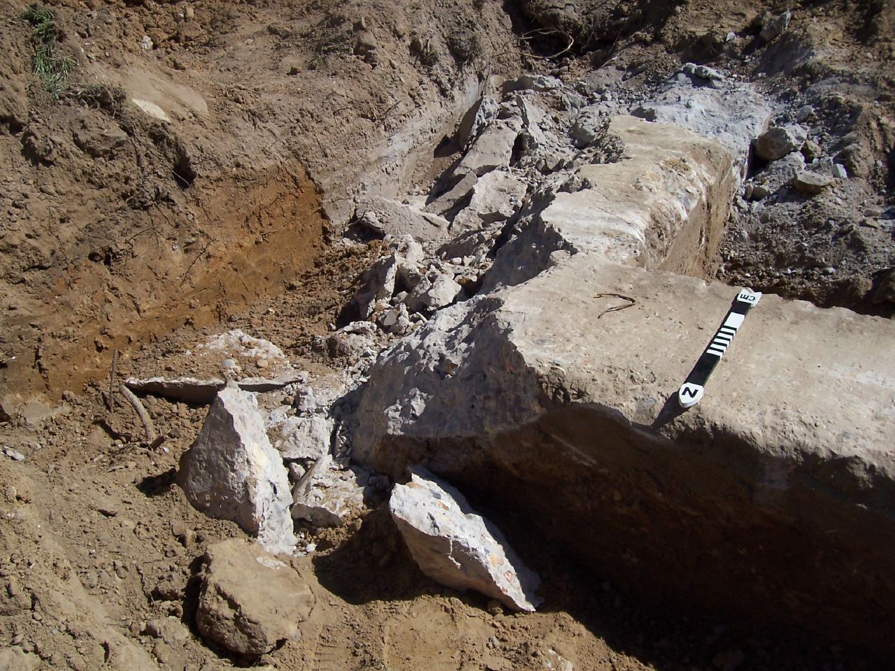
Holt Hall Foundations
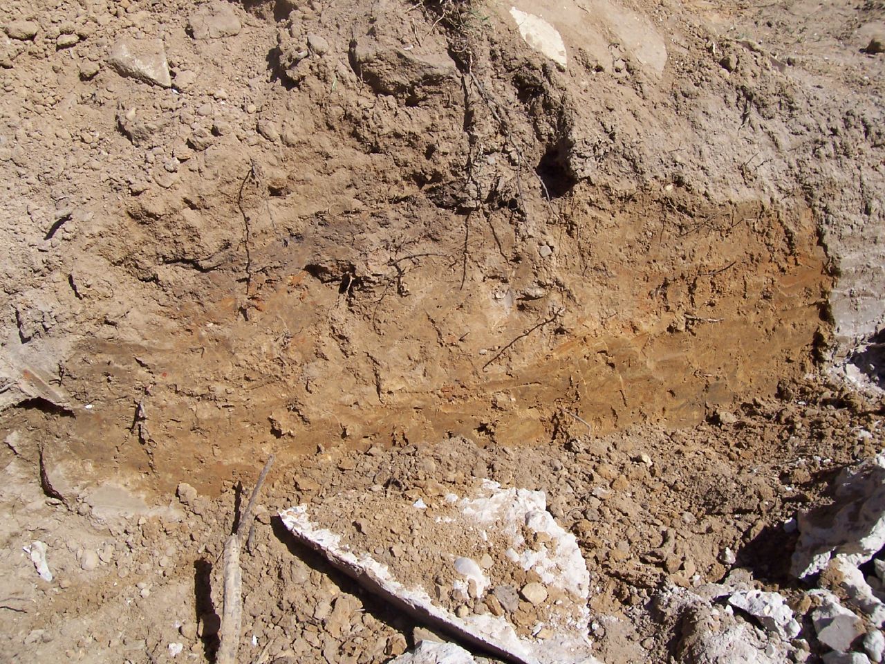
Holt Hall Foundations
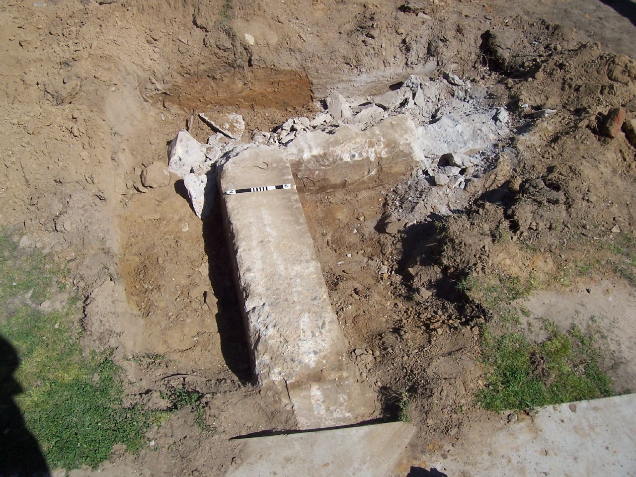
Holt Hall Foundations
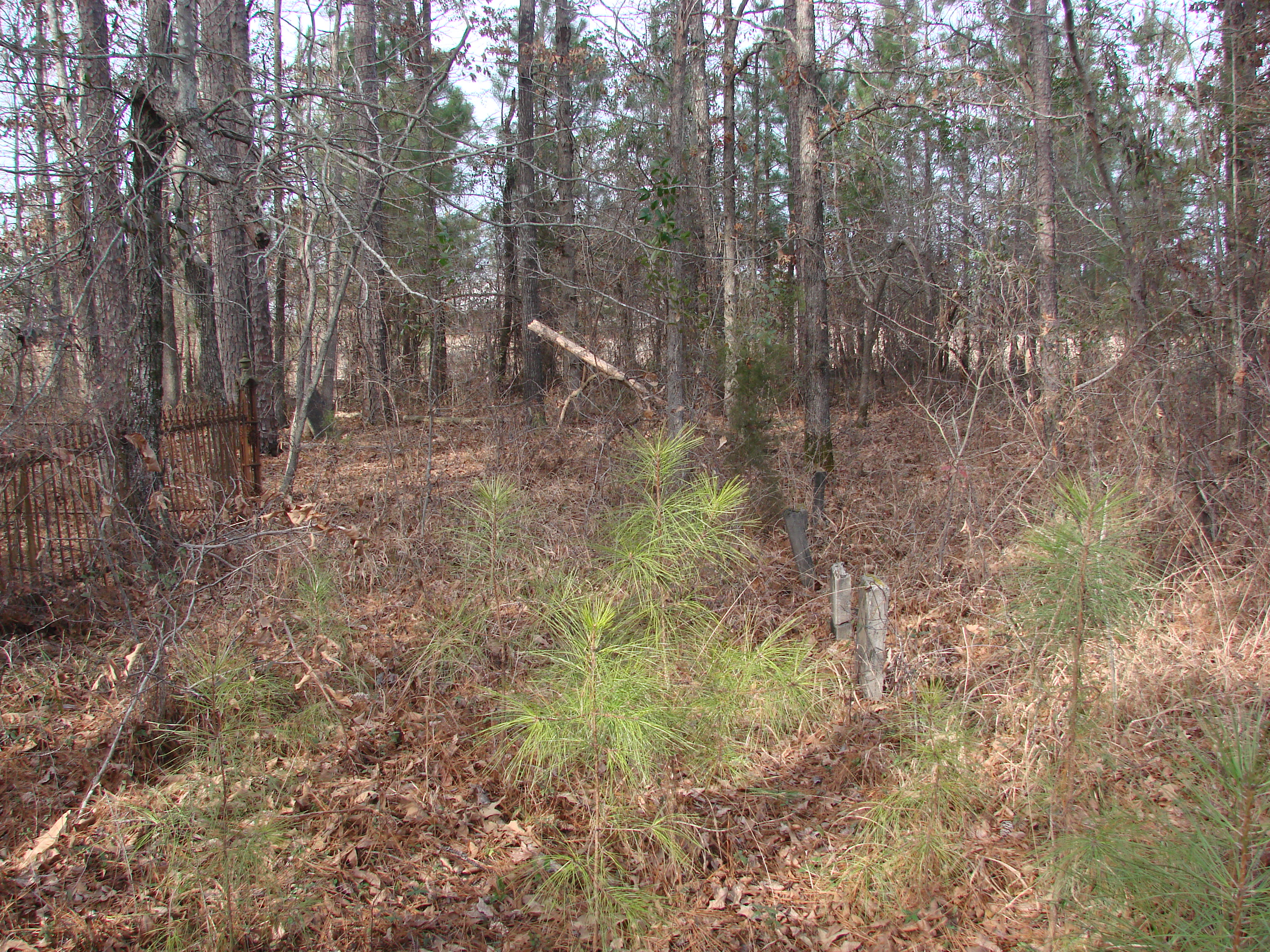
20100120-Fellowship Cemetery Arkansas by Peter-048
20100120-Fellowship Cemetery Arkansas by Peter-045
20100120-Fellowship Cemetery Arkansas by Peter-006
20100120-Fellowship Cemetery Arkansas by Peter-019
Topographic Map of Columbia Rd 61, Magnolia, AR, USA
Find elevation by address:

Places near Columbia Rd 61, Magnolia, AR, USA:
Columbia Rd 61, Magnolia, AR, USA
Mcneil Township
Columbia Rd 25, Magnolia, AR, USA
Village Township
Mcneil
AR-98, Magnolia, AR, USA
122 Jones St
40 Columbia Rd 25
AR-57, Stephens, AR, USA
Stephens
Magnolia Township
Columbia Rd 62 W, McNeil, AR, USA
Magnolia
Smackover Township
Columbia Rd 11 E, Magnolia, AR, USA
US-79, Stephens, AR, USA
Waldo Township
Ogemaw
E Columbia Rd 8, Emerson, AR, USA
E McKissack, Waldo, AR, USA
Recent Searches:
- Elevation of Elwyn Dr, Roanoke Rapids, NC, USA
- Elevation of Congressional Dr, Stevensville, MD, USA
- Elevation of Bellview Rd, McLean, VA, USA
- Elevation of Stage Island Rd, Chatham, MA, USA
- Elevation of Shibuya Scramble Crossing, 21 Udagawacho, Shibuya City, Tokyo -, Japan
- Elevation of Jadagoniai, Kaunas District Municipality, Lithuania
- Elevation of Pagonija rock, Kranto 7-oji g. 8"N, Kaunas, Lithuania
- Elevation of Co Rd 87, Jamestown, CO, USA
- Elevation of Tenjo, Cundinamarca, Colombia
- Elevation of Côte-des-Neiges, Montreal, QC H4A 3J6, Canada