Elevation of McNeil Township, AR, USA
Location: United States > Arkansas > Columbia County >
Longitude: -93.157887
Latitude: 33.3759149
Elevation: 89m / 292feet
Barometric Pressure: 100KPa
Elevation Map:
Satellite Map:
Related Photos:
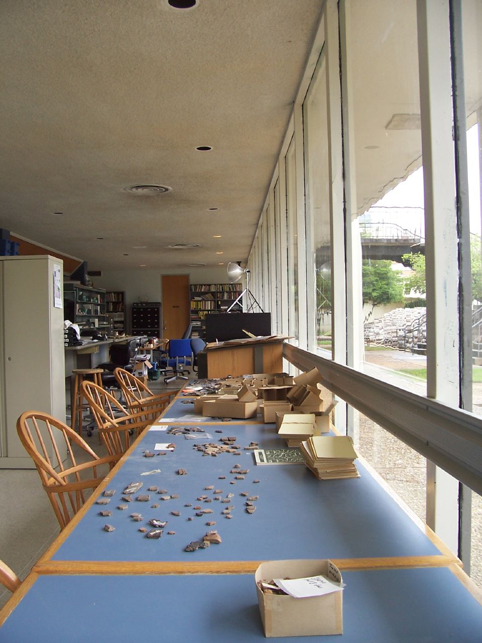
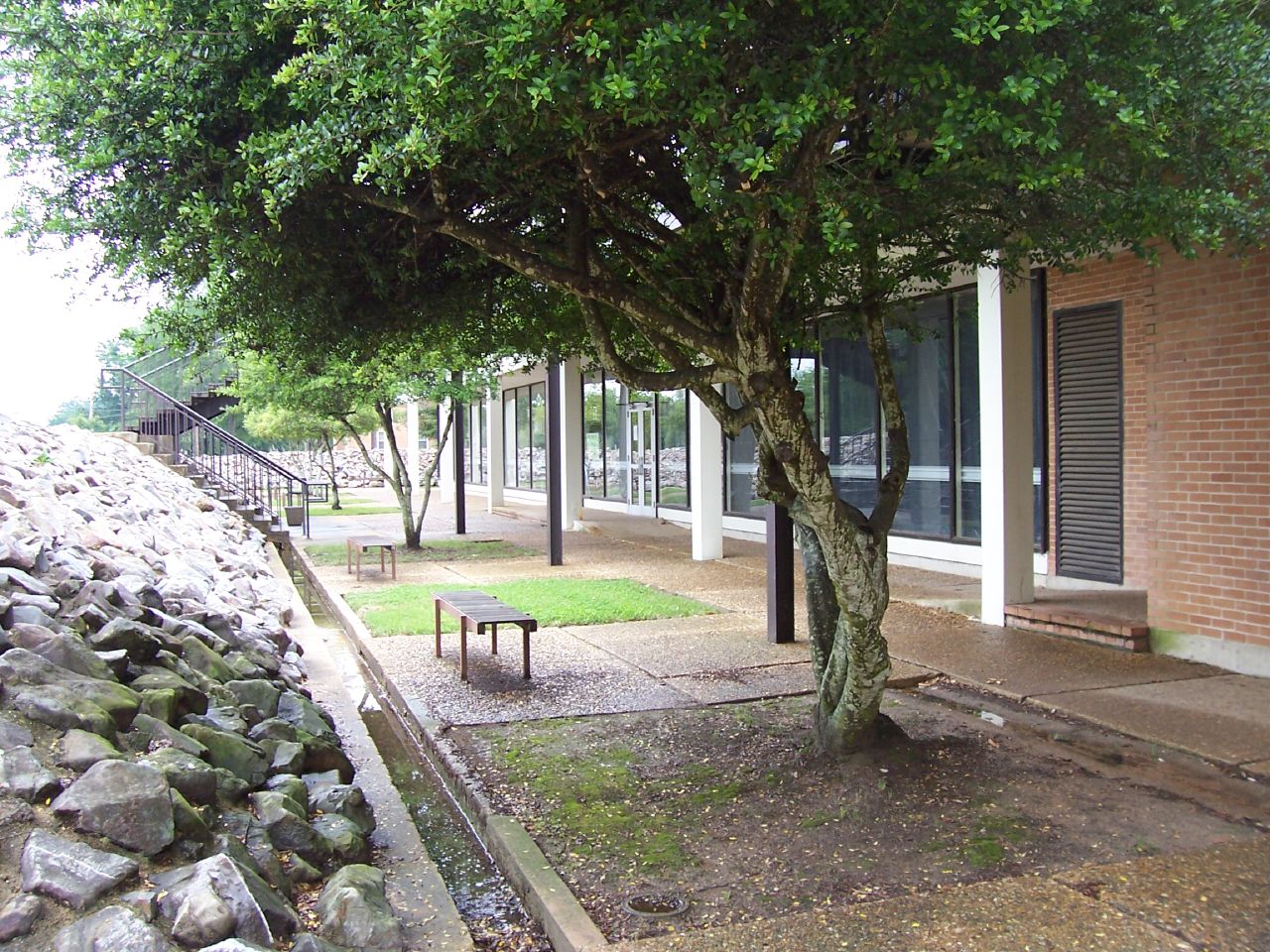
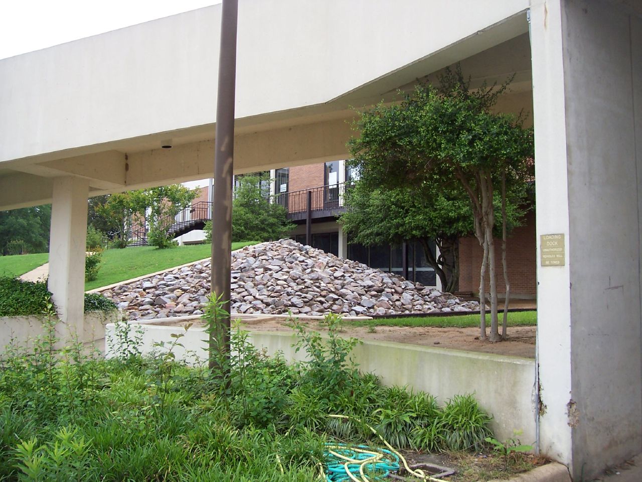
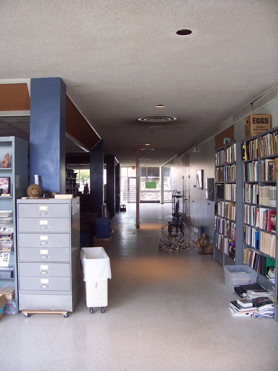
The SAU Research Station
The SAU Research Station
The SAU Research Station

The SAU Research Station
The SAU Research Station
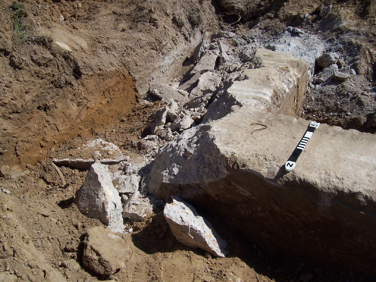
Holt Hall Foundations
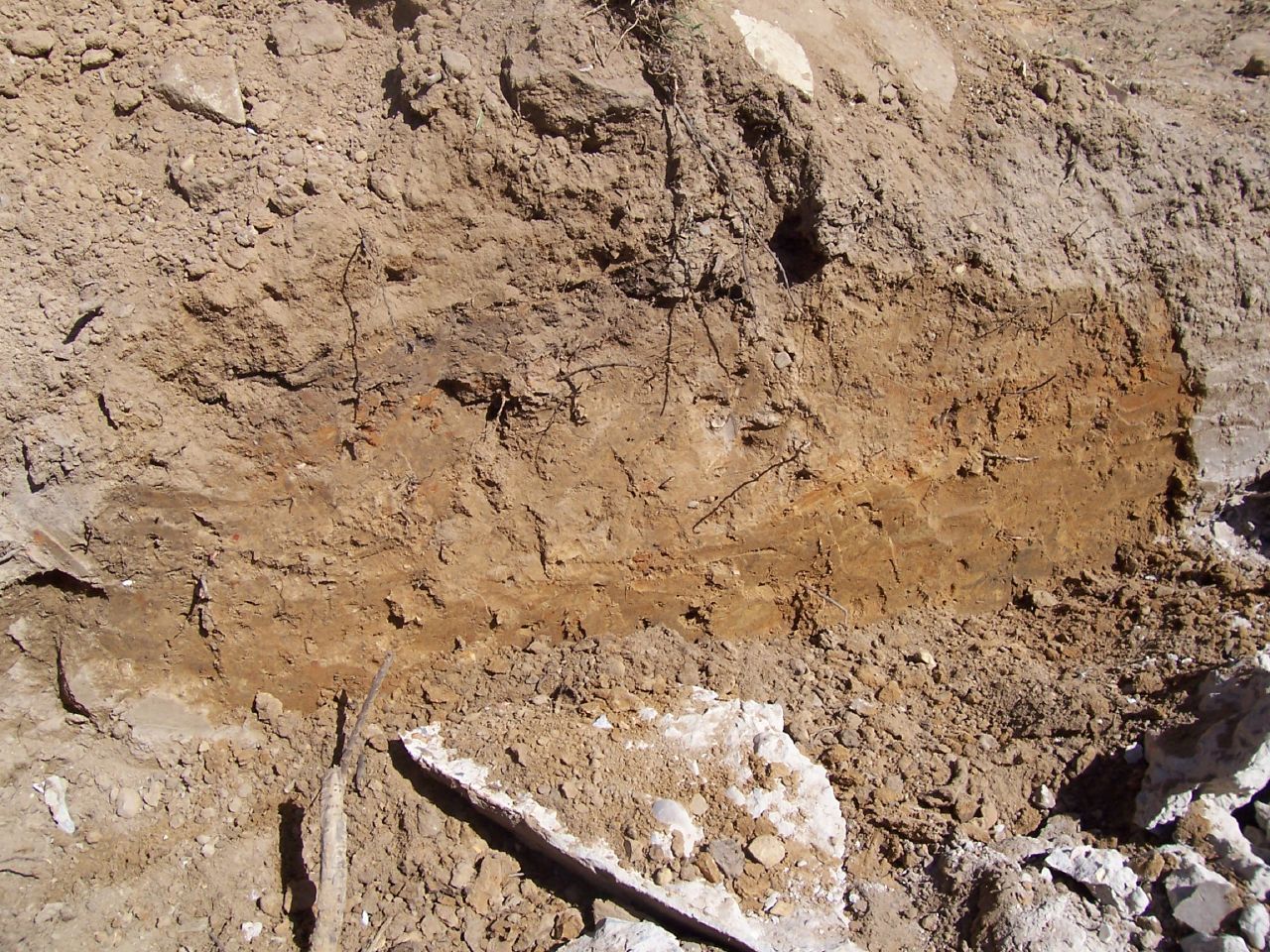
Holt Hall Foundations
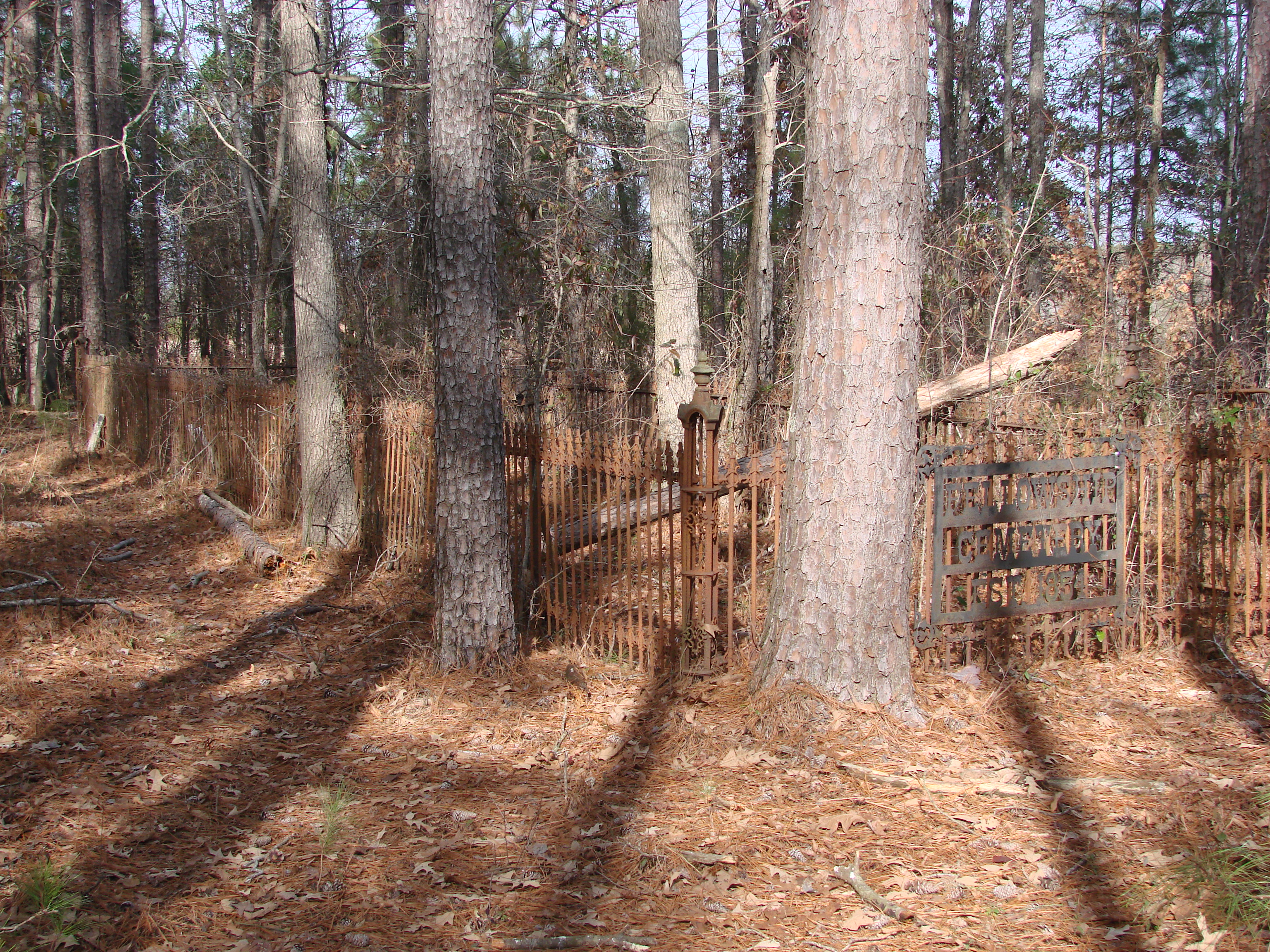
20100120-Fellowship Cemetery Arkansas by Peter-002
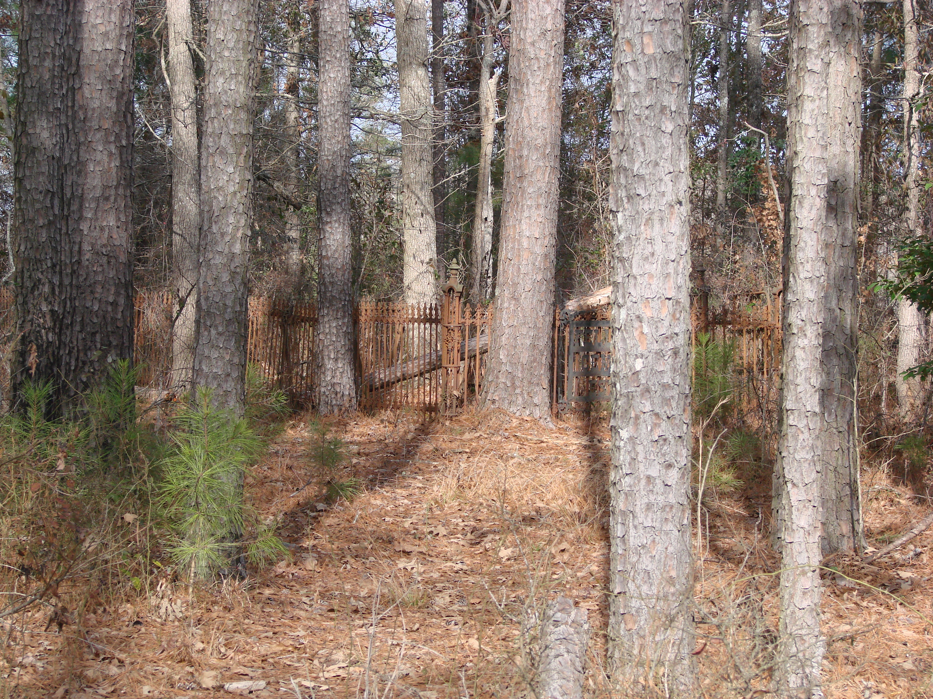
20100120-Fellowship Cemetery Arkansas by Peter-003
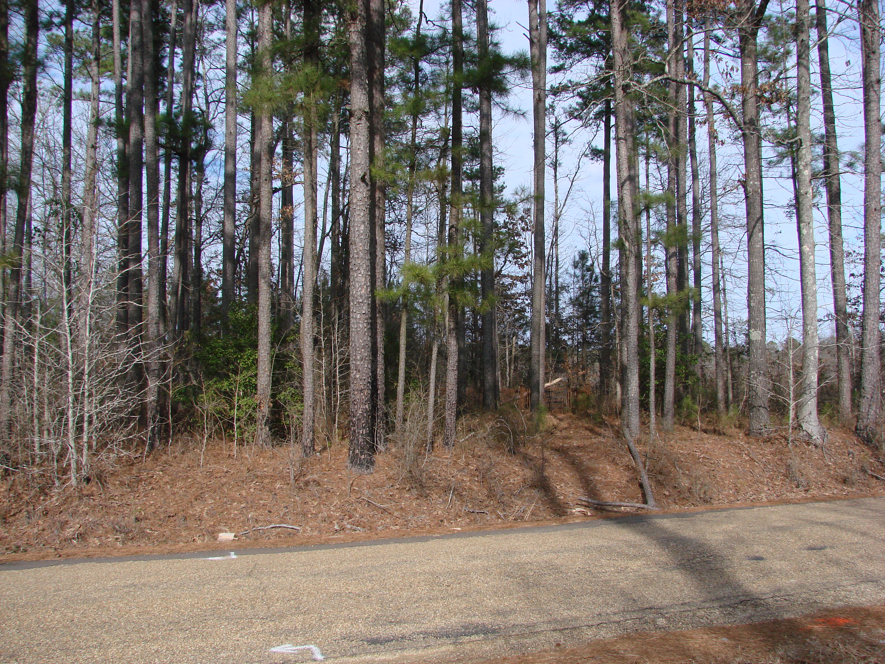
20100120-Fellowship Cemetery Arkansas by Peter-048
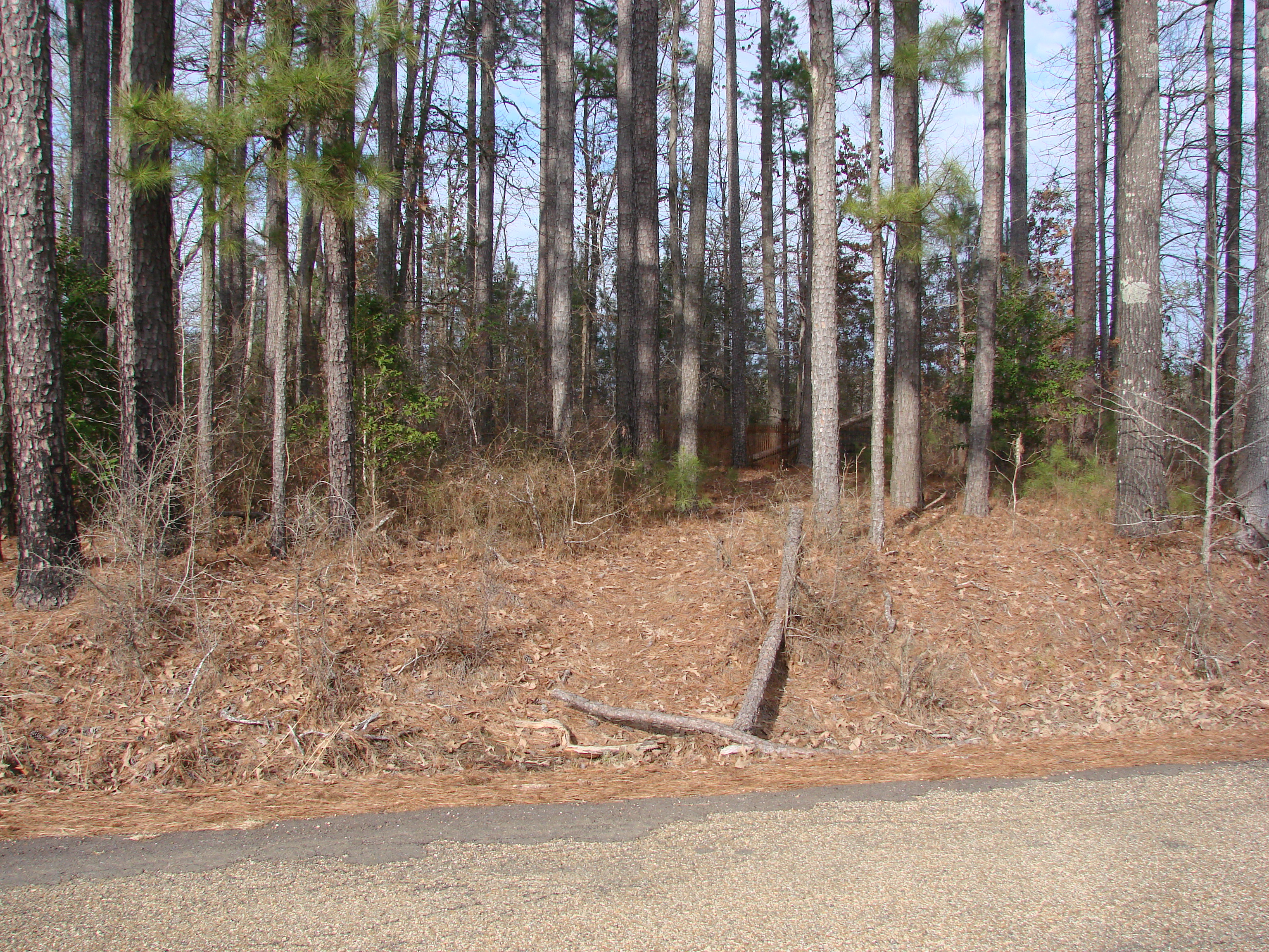
20100120-Fellowship Cemetery Arkansas by Peter-045
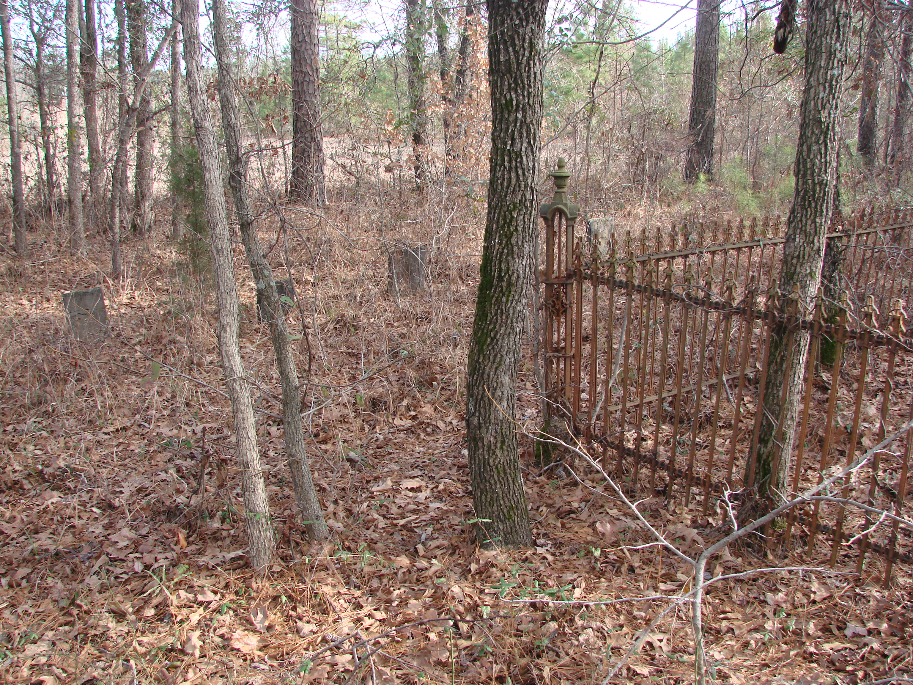
20100120-Fellowship Cemetery Arkansas by Peter-006
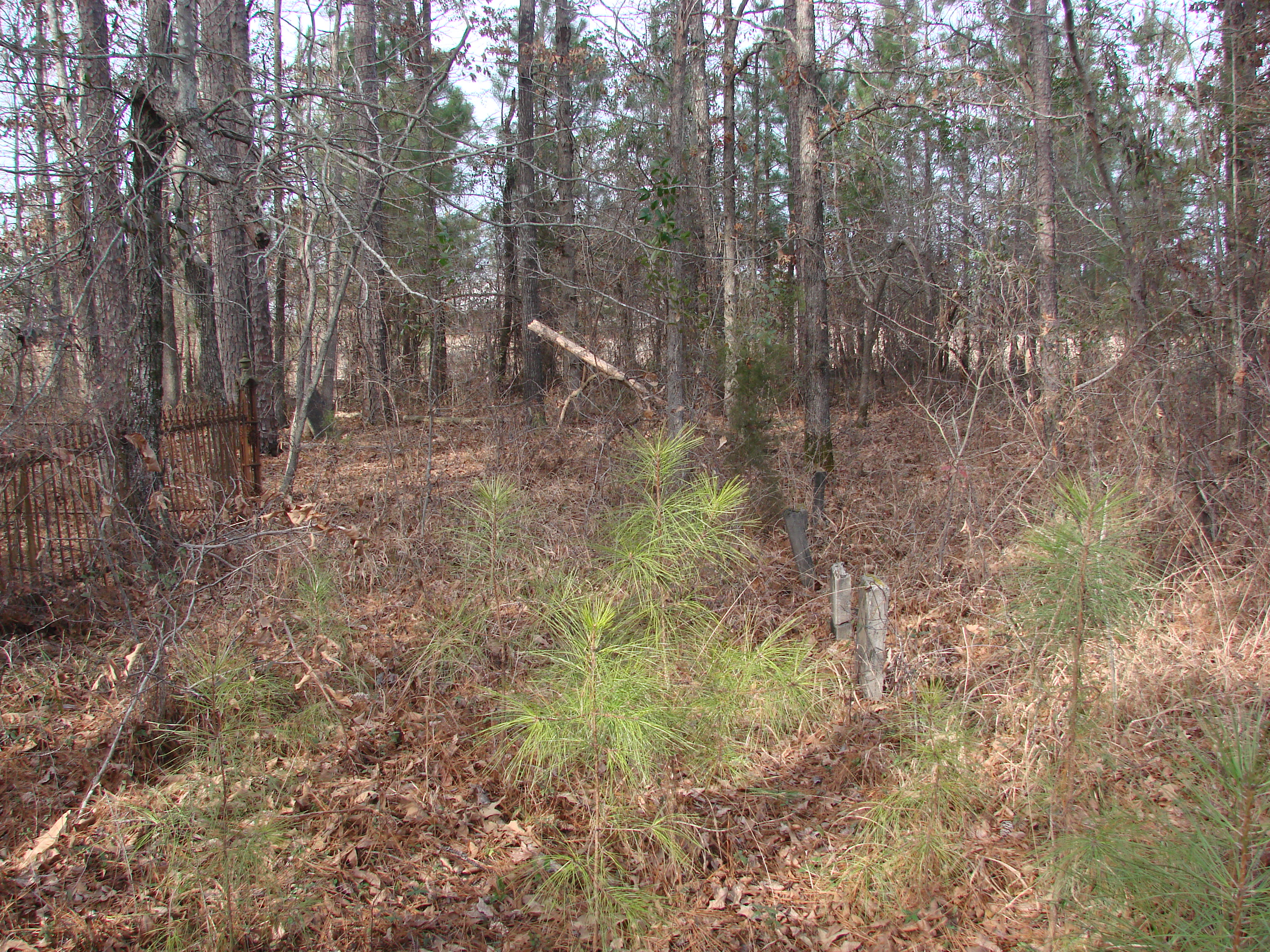
20100120-Fellowship Cemetery Arkansas by Peter-019
Topographic Map of McNeil Township, AR, USA
Find elevation by address:

Places in McNeil Township, AR, USA:
Places near McNeil Township, AR, USA:
Columbia Rd 62 W, McNeil, AR, USA
Mcneil
Columbia Rd 61, Magnolia, AR, USA
Columbia Rd 61, Magnolia, AR, USA
122 Jones St
Stephens
Waldo Township
Columbia Rd 25, Magnolia, AR, USA
Magnolia Township
Smackover Township
US-, Waldo, AR, USA
Magnolia
E McKissack, Waldo, AR, USA
Waldo
AR-57, Stephens, AR, USA
Hwy 57, Stephens, AR, USA
Village Township
US-79, Stephens, AR, USA
40 Columbia Rd 25
Jefferson Township
Recent Searches:
- Elevation of Corso Fratelli Cairoli, 35, Macerata MC, Italy
- Elevation of Tallevast Rd, Sarasota, FL, USA
- Elevation of 4th St E, Sonoma, CA, USA
- Elevation of Black Hollow Rd, Pennsdale, PA, USA
- Elevation of Oakland Ave, Williamsport, PA, USA
- Elevation of Pedrógão Grande, Portugal
- Elevation of Klee Dr, Martinsburg, WV, USA
- Elevation of Via Roma, Pieranica CR, Italy
- Elevation of Tavkvetili Mountain, Georgia
- Elevation of Hartfords Bluff Cir, Mt Pleasant, SC, USA