Elevation of Clendenin, WV, USA
Location: United States > West Virginia > Kanawha County > >
Longitude: -81.348174
Latitude: 38.4887089
Elevation: 190m / 623feet
Barometric Pressure: 99KPa
Elevation Map:
Satellite Map:
Related Photos:
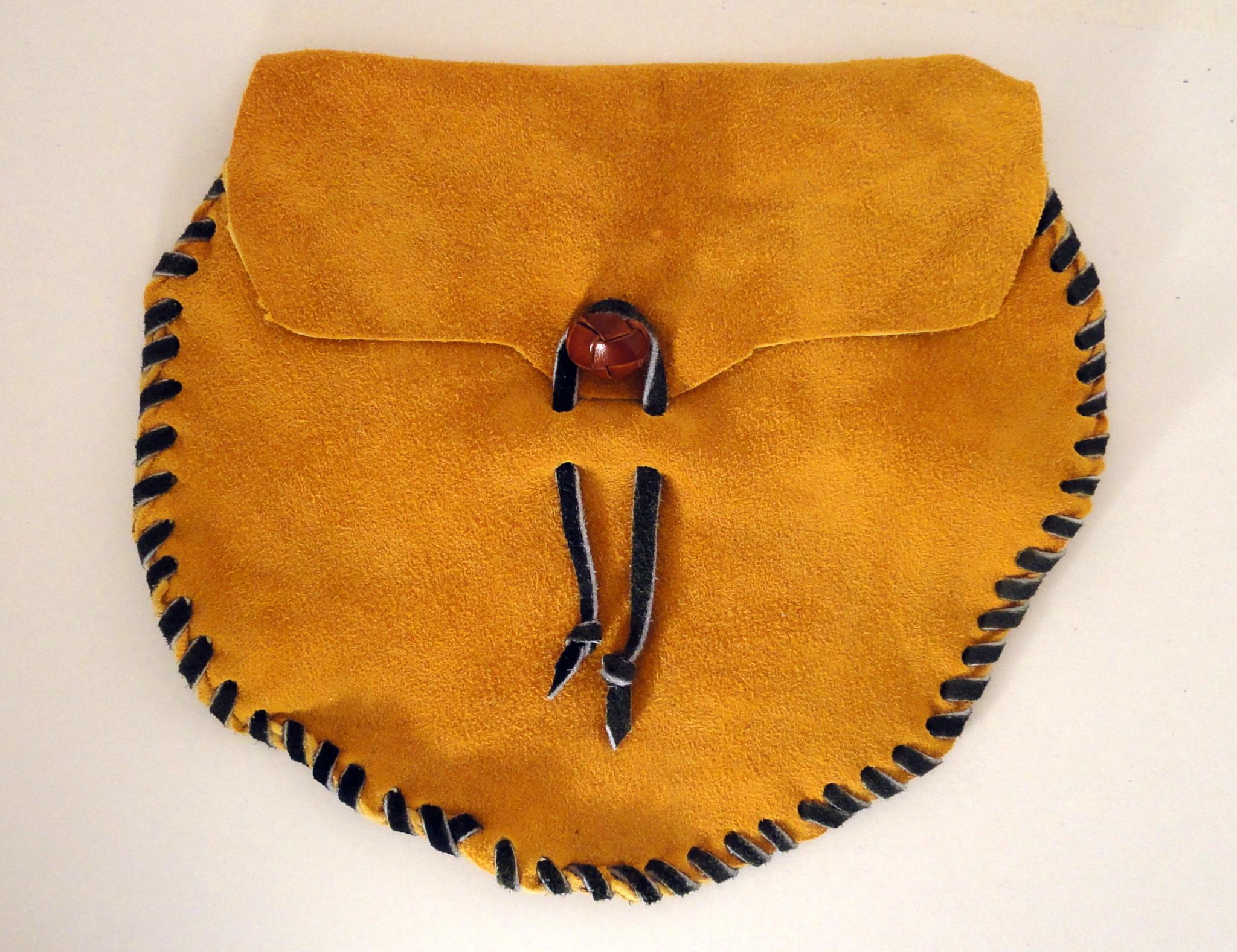
Modern Sporran - Front

Modern Sporran - Back

First to view
Poker run

Bridge 975-25
Poker run

Bridge 975-38
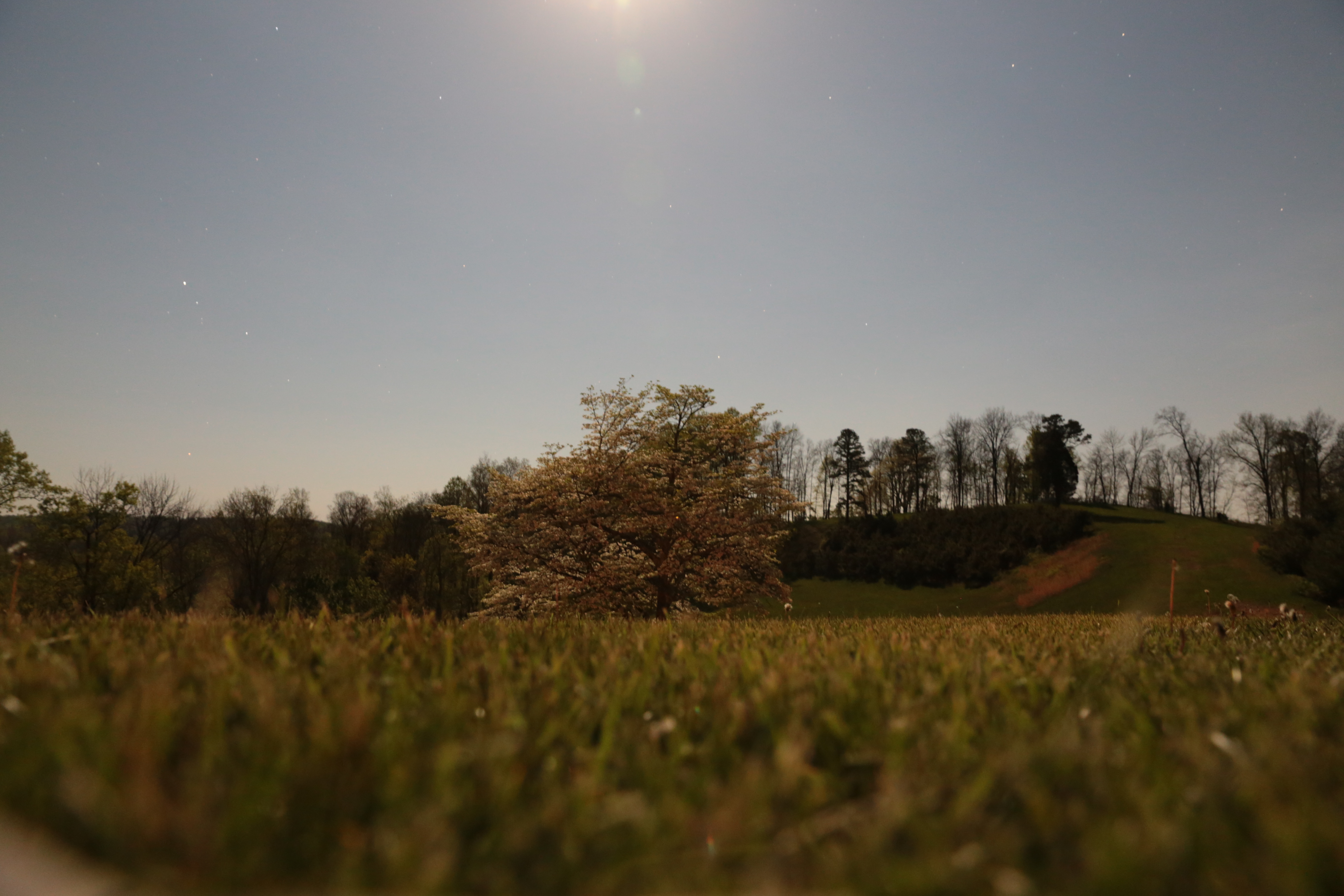
The White Tree

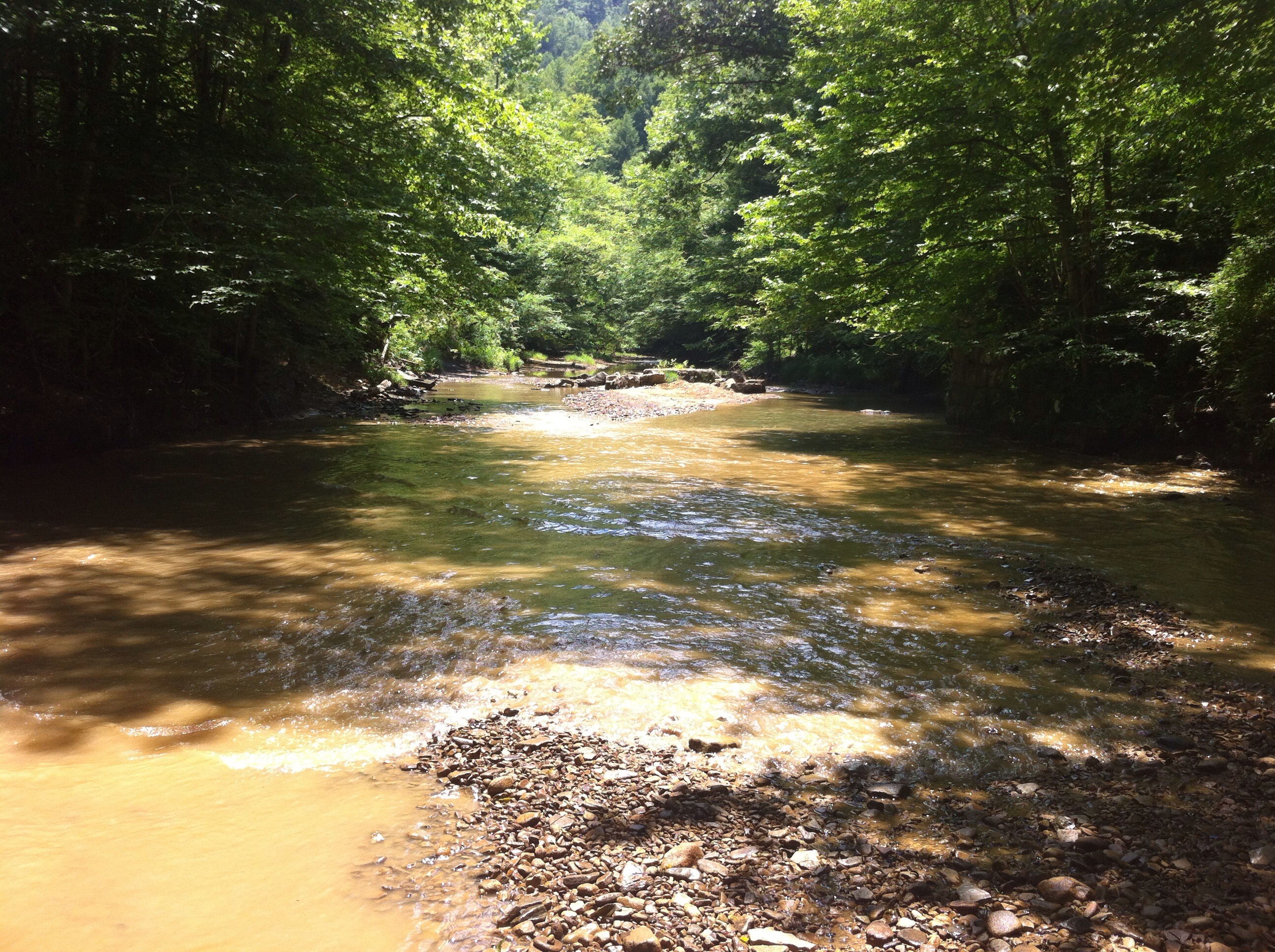
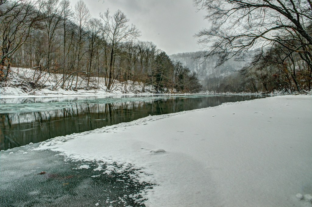
Icy Elk River
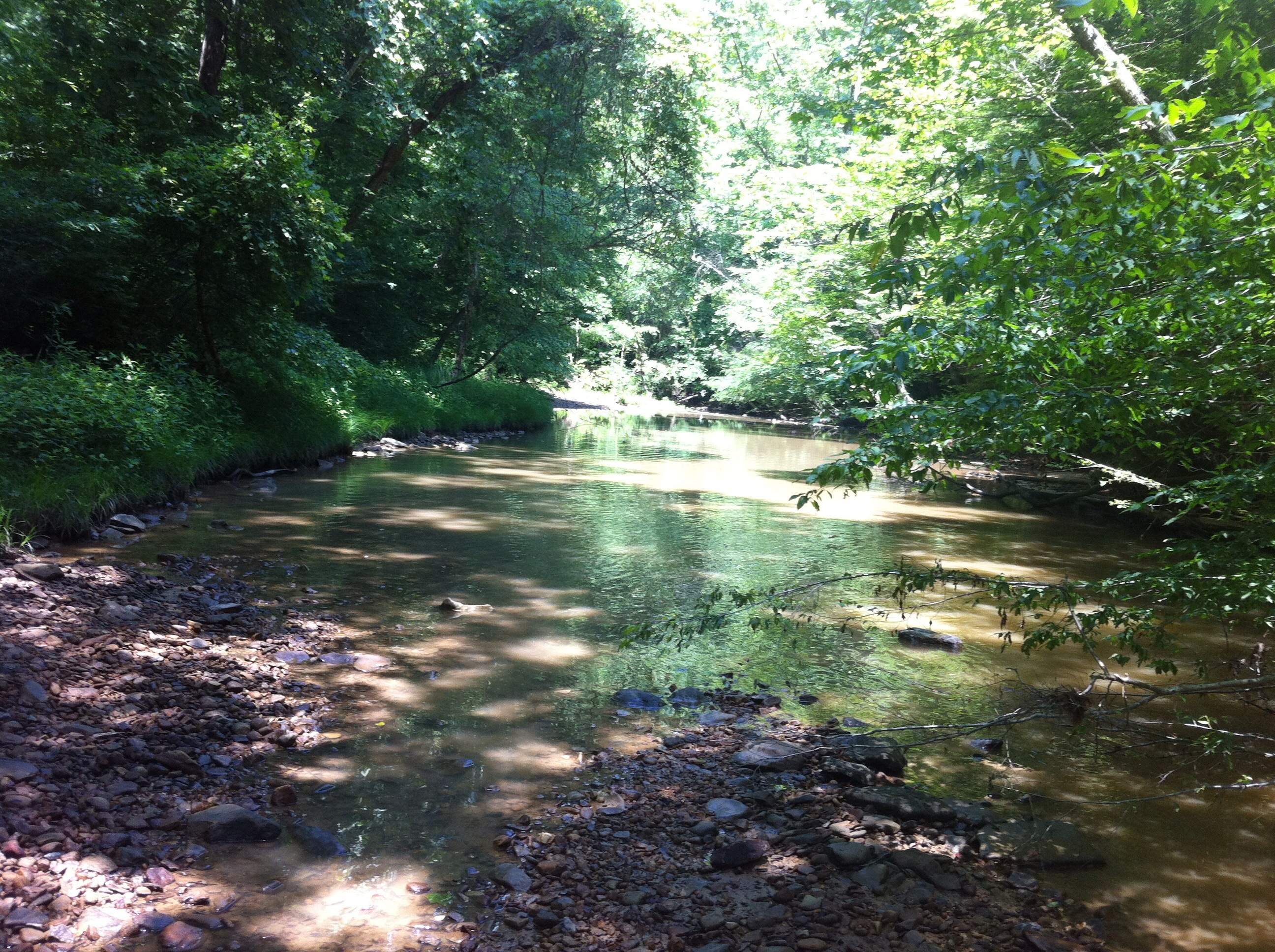
Winter on the Elk
Topographic Map of Clendenin, WV, USA
Find elevation by address:

Places in Clendenin, WV, USA:
Places near Clendenin, WV, USA:
545 Mullins Mountain Dr
Little Blue Creek Road
Hurricane Road
4107 Dutch Ridge Rd
Dutch Ridge Rd, Clendenin, WV, USA
137 Breeze Way
Long Ridge Rd, Walton, WV, USA
Pentacre Rd, Elkview, WV, USA
7771 Frame Rd
Amma
2287 Bee Lick Run Rd
4, WV, USA
Frame
Procious
Elkview
Glen
Rock Creek Road
Rock Creek Road
Walton
Twistabout Road
Recent Searches:
- Elevation of Pinewood Dr, New Bern, NC, USA
- Elevation of Mountain View, CA, USA
- Elevation of Foligno, Province of Perugia, Italy
- Elevation of Blauwestad, Netherlands
- Elevation of Bella Terra Blvd, Estero, FL, USA
- Elevation of Estates Loop, Priest River, ID, USA
- Elevation of Woodland Oak Pl, Thousand Oaks, CA, USA
- Elevation of Brownsdale Rd, Renfrew, PA, USA
- Elevation of Corcoran Ln, Suffolk, VA, USA
- Elevation of Mamala II, Sariaya, Quezon, Philippines