Elevation of Rock Creek Road, Rock Creek Rd, III, WV, USA
Location: United States > West Virginia > Roane County > Iii > Walton >
Longitude: -81.414958
Latitude: 38.6188356
Elevation: 253m / 830feet
Barometric Pressure: 98KPa
Elevation Map:
Satellite Map:
Related Photos:

DSC03999

DSC03993

DSC04000

DSC03998

DSC04002
DSC03990

JWF-4314-2

On the road again
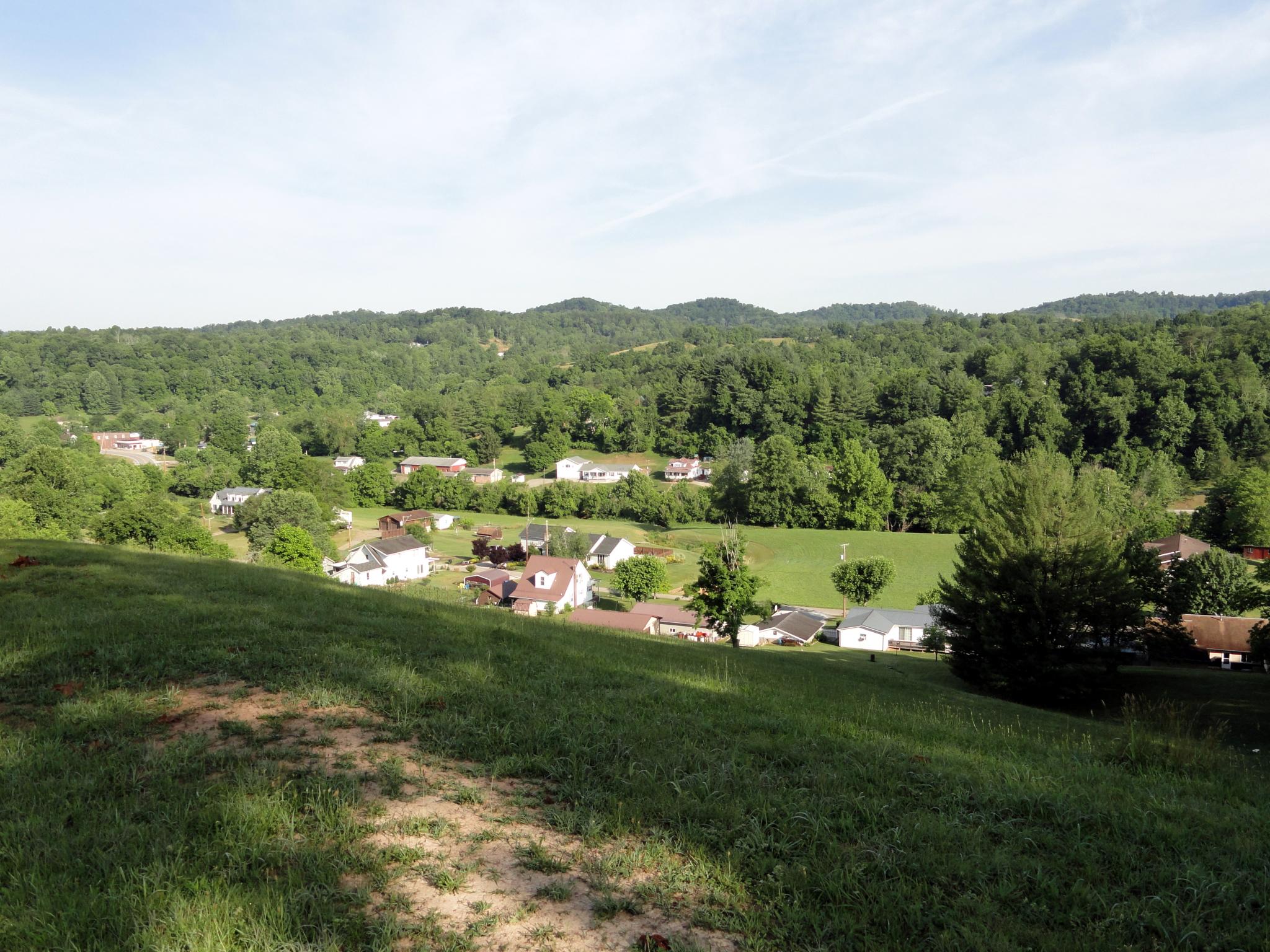
Roane Co., WV

Finding Balance

I-79 Clendenin Park & Ride

WV 4

Heading into Clendenin
Topographic Map of Rock Creek Road, Rock Creek Rd, III, WV, USA
Find elevation by address:

Places near Rock Creek Road, Rock Creek Rd, III, WV, USA:
Rock Creek Road
Walton
Long Ridge Rd, Walton, WV, USA
Hurricane Road
Gandeeville
Kettle
Shannon Branch
2287 Bee Lick Run Rd
137 Breeze Way
7771 Frame Rd
Goose Creek Road
990 Vicars Ridge Rd
990 Vicars Ridge Rd
Looneyville
Slab Fork Road
Slab Fork Road
Frame
Poca River Rd, Charleston, WV, USA
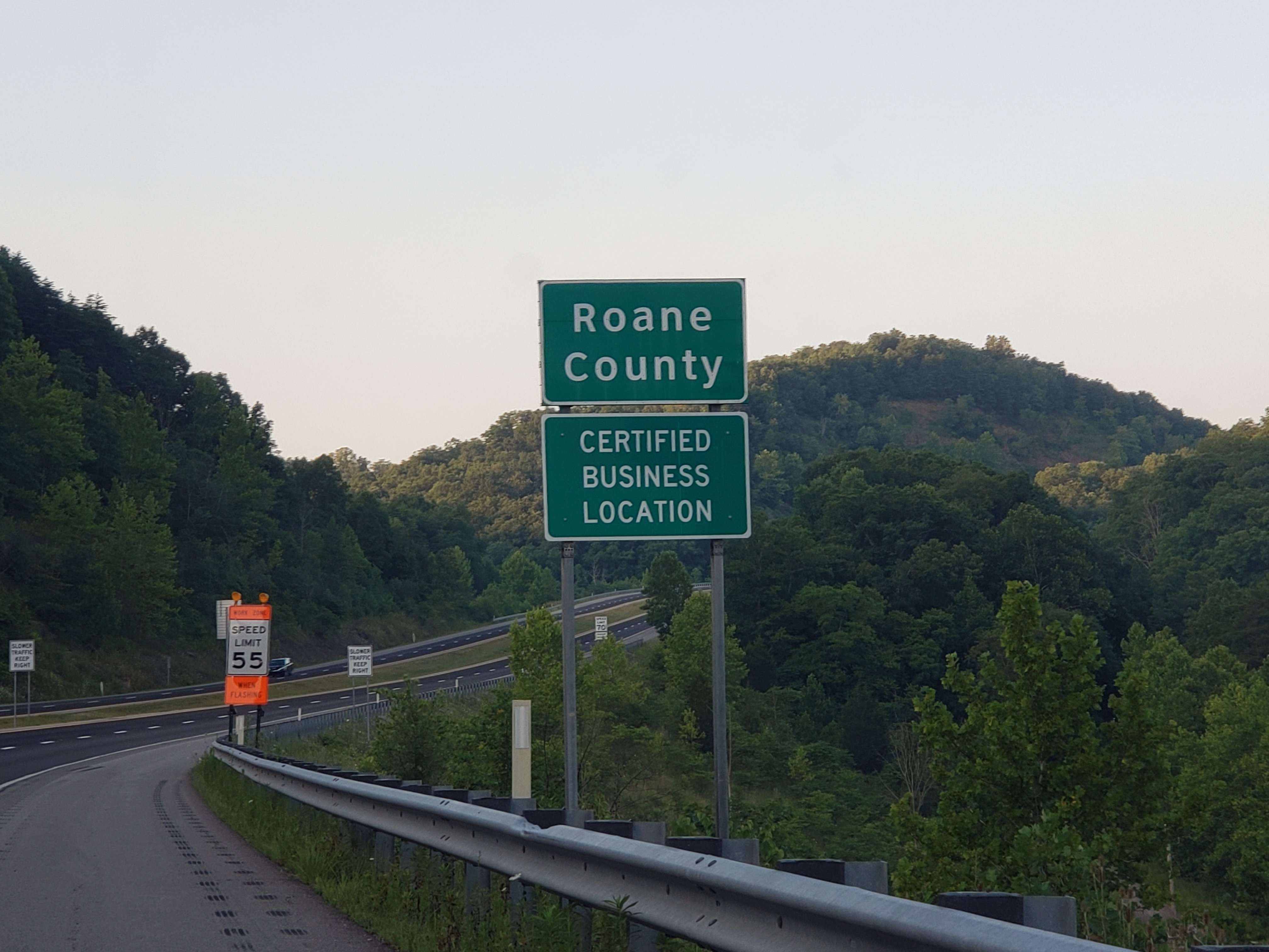
Roane County
Clendenin
Recent Searches:
- Elevation of Jay Bird Ln, Paradise, CA, USA
- Elevation of NE 39th Ave, Gainesville, FL, USA
- Elevation of Mt Hope Ave, Cincinnati, OH, USA
- Elevation of Peach Ln, Colorado Springs, CO, USA
- Elevation of Chester St, Columbia, SC, USA
- Elevation of 59-38 Linden St, Flushing, NY, USA
- Elevation of N Main St, Boaz, AL, USA
- Elevation of LEHIGHTON BOROUGH, PA, USA
- Elevation of Tipperary Estate, Tipperary Rd, near SHY Convent, Yercaud, Tamil Nadu, India
- Elevation of Anza Ave, Vista, CA, USA