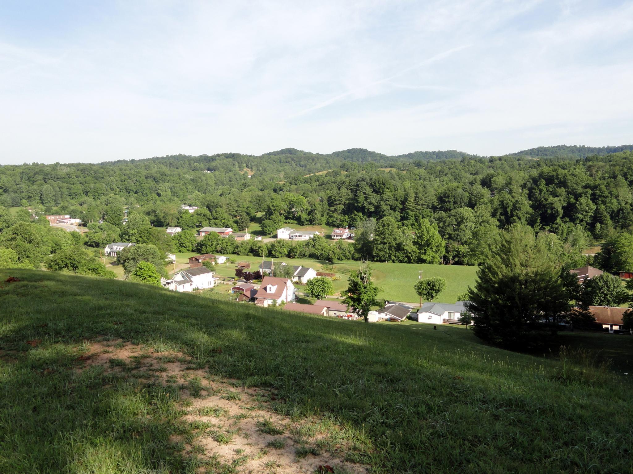
Elevation of Hurricane Road, Hurricane Rd, District 4, WV, USA
Location: United States > West Virginia > Kanawha County > > Frame >
Longitude: -81.412372
Latitude: 38.539858
Elevation: 235m / 771feet
Barometric Pressure: 99KPa
Elevation Map:
Satellite Map:
Related Photos:

Modern Sporran - Front

Modern Sporran - Back

First to view

DSC03999

DSC03993

DSC04000

DSC03998

DSC04002
DSC03990


Topographic Map of Hurricane Road, Hurricane Rd, District 4, WV, USA
Find elevation by address:

Places near Hurricane Road, Hurricane Rd, District 4, WV, USA:
Long Ridge Rd, Walton, WV, USA
7771 Frame Rd
Frame
Rock Creek Road
Rock Creek Road
Clendenin
Kettle
4, WV, USA
Walton
Goose Creek Road
Poca River Rd, Charleston, WV, USA
2287 Bee Lick Run Rd
137 Breeze Way
Elkview
Pentacre Rd, Elkview, WV, USA
Little Blue Creek Road
545 Mullins Mountain Dr
Amma
Shannon Branch
4107 Dutch Ridge Rd
Recent Searches:
- Elevation of Bella Terra Blvd, Estero, FL, USA
- Elevation of Estates Loop, Priest River, ID, USA
- Elevation of Woodland Oak Pl, Thousand Oaks, CA, USA
- Elevation of Brownsdale Rd, Renfrew, PA, USA
- Elevation of Corcoran Ln, Suffolk, VA, USA
- Elevation of Mamala II, Sariaya, Quezon, Philippines
- Elevation of Sarangdanda, Nepal
- Elevation of 7 Waterfall Way, Tomball, TX, USA
- Elevation of SW 57th Ave, Portland, OR, USA
- Elevation of Crocker Dr, Vacaville, CA, USA