Elevation of Mullins Mountain Dr, Clendenin, WV, USA
Location: United States > West Virginia > Kanawha County > > Clendenin >
Longitude: -81.289368
Latitude: 38.4763942
Elevation: 304m / 997feet
Barometric Pressure: 98KPa
Elevation Map:
Satellite Map:
Related Photos:

Hinckle Ridge Panorama

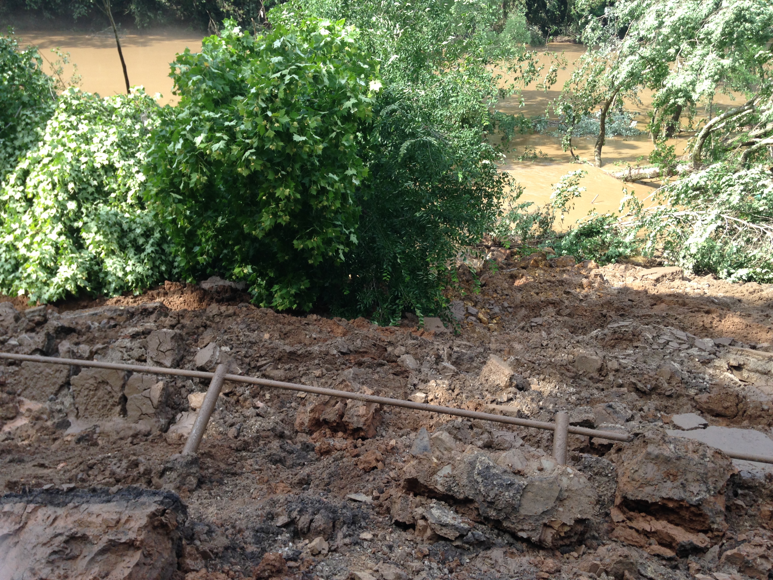
Icy Elk River

The White Tree

Winter on the Elk

Poker run

Poker run

Trees And Still Water
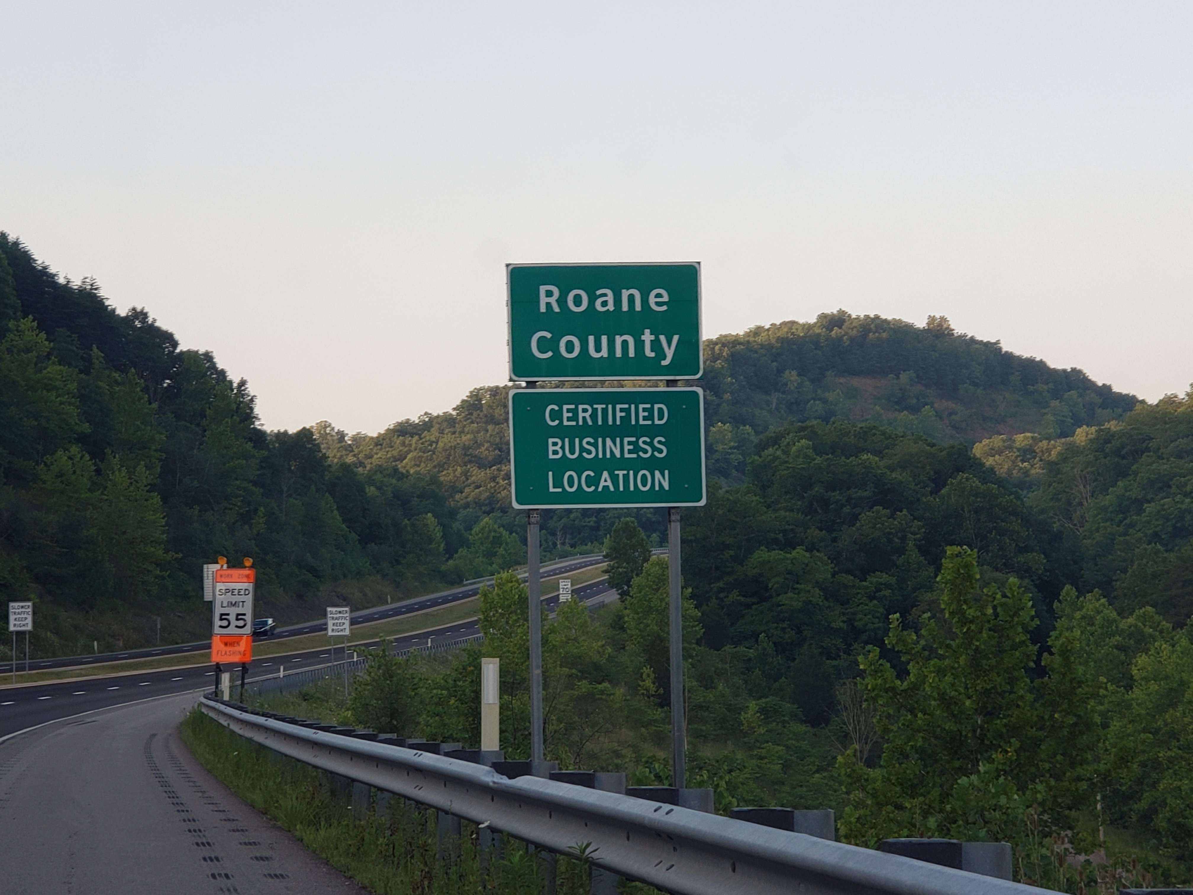
Roane Co., WV

Post Office Glen, WVA

WV 4

Carols Crossroads Best

Carols Crossroads Best

Carols Crossroads Best

Carols Crossroads Best

Carols Crossroads Best

Carols Crossroads Best

I-79 Clendenin Park & Ride

WV 4 Outside of Clendenin

WV 4 Outside of Clendenin

WV 4 Outside of Clendenin

WV 4 Outside of Clendenin

WV 4 Outside of Clendenin
WV 4 Outside of Clendenin

WV 4 Outside of Clendenin
Topographic Map of Mullins Mountain Dr, Clendenin, WV, USA
Find elevation by address:

Places near Mullins Mountain Dr, Clendenin, WV, USA:
Little Blue Creek Road
Clendenin
Procious
Glen
Amma
Twistabout Road
137 Breeze Way
Dutch Ridge Rd, Clendenin, WV, USA
4107 Dutch Ridge Rd
2287 Bee Lick Run Rd
Hurricane Road
C
Left Hand
Pentacre Rd, Elkview, WV, USA
Hollywood Rd, Newton, WV, USA
Iii
Long Ridge Rd, Walton, WV, USA
Clay County
7771 Frame Rd
Maysel
Recent Searches:
- Elevation of 6 Rue Jules Ferry, Beausoleil, France
- Elevation of Sattva Horizon, 4JC6+G9P, Vinayak Nagar, Kattigenahalli, Bengaluru, Karnataka, India
- Elevation of Great Brook Sports, Gold Star Hwy, Groton, CT, USA
- Elevation of 10 Mountain Laurels Dr, Nashua, NH, USA
- Elevation of 16 Gilboa Ln, Nashua, NH, USA
- Elevation of Laurel Rd, Townsend, TN, USA
- Elevation of 3 Nestling Wood Dr, Long Valley, NJ, USA
- Elevation of Ilungu, Tanzania
- Elevation of Yellow Springs Road, Yellow Springs Rd, Chester Springs, PA, USA
- Elevation of Rēzekne Municipality, Latvia