Elevation of Dutch Ridge Rd, Clendenin, WV, USA
Location: United States > West Virginia > Kanawha County > > Clendenin >
Longitude: -81.366238
Latitude: 38.390915
Elevation: 368m / 1207feet
Barometric Pressure: 97KPa
Elevation Map:
Satellite Map:
Related Photos:
I have a cat
Modern Sporran - Front

Modern Sporran - Back

First to view
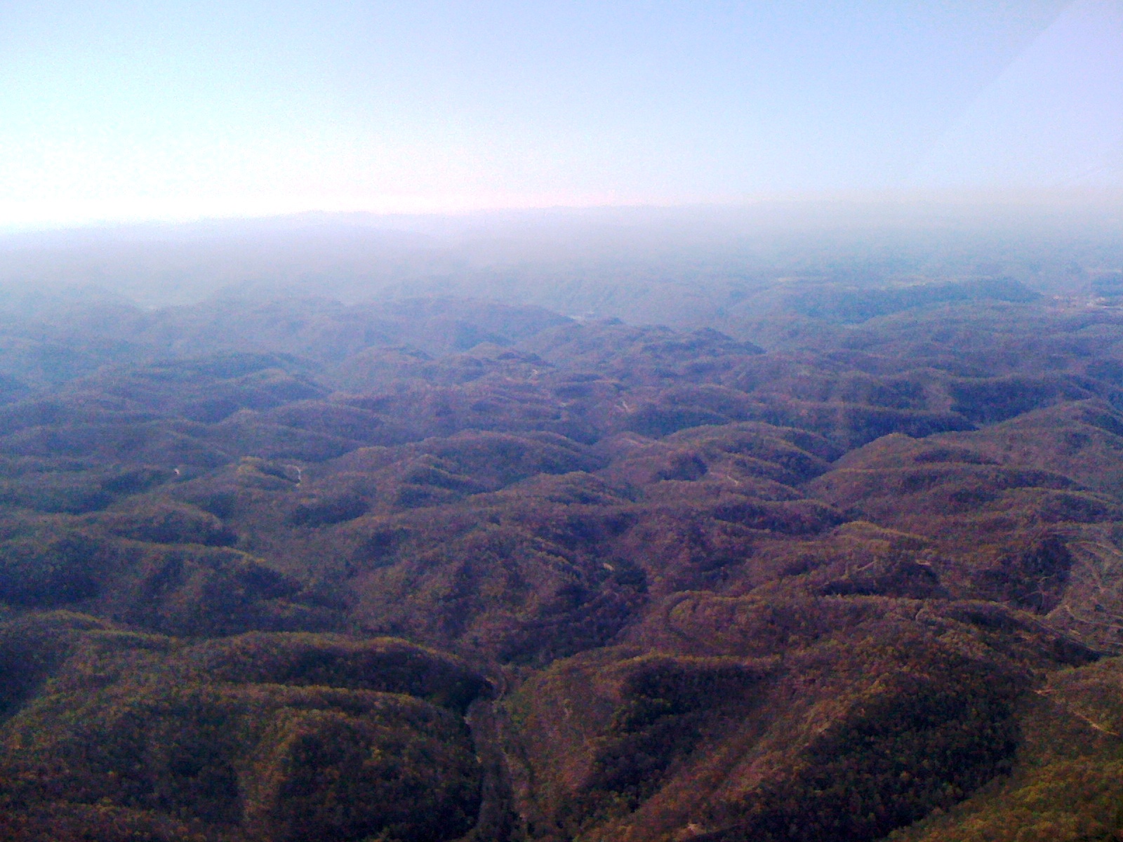
Day 3 of the trip 130
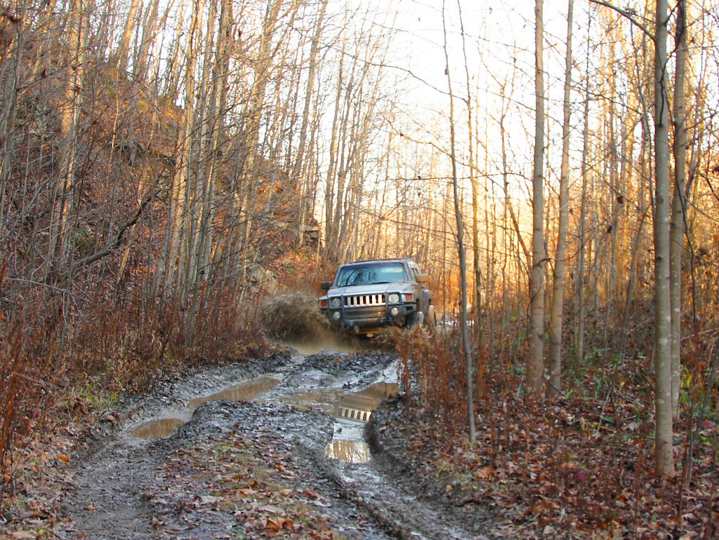
11 11 24 Hummer Mud 3
Day 3 4 10 1016a
Day 3 of the trip 063
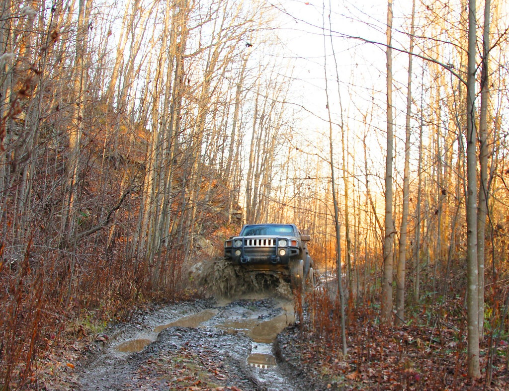
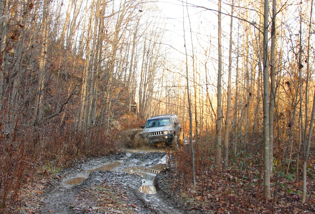
11 11 24 Hummer Mud 5
Poker run
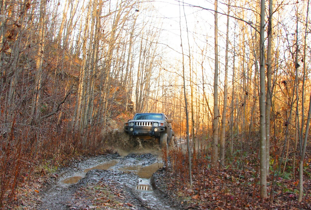
11 11 24 Hummer Mud 2
11 11 25 Hummer Mud 1

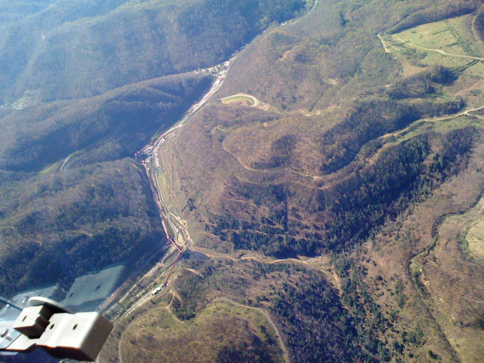
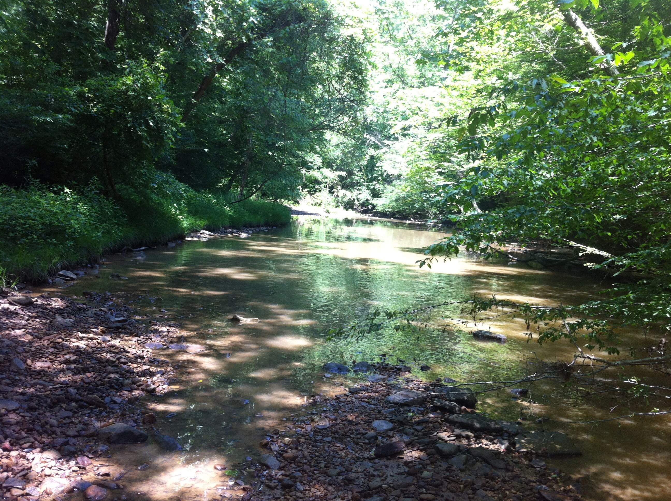
Bridge 975-25
11 11 24 Hummer Mud 4
Poker run

Bridge 975-38
The White Tree
Topographic Map of Dutch Ridge Rd, Clendenin, WV, USA
Find elevation by address:

Places near Dutch Ridge Rd, Clendenin, WV, USA:
4107 Dutch Ridge Rd
Pentacre Rd, Elkview, WV, USA
Clendenin
545 Mullins Mountain Dr
Elkview
Glen
4, WV, USA
Pond Gap
Kanawha County
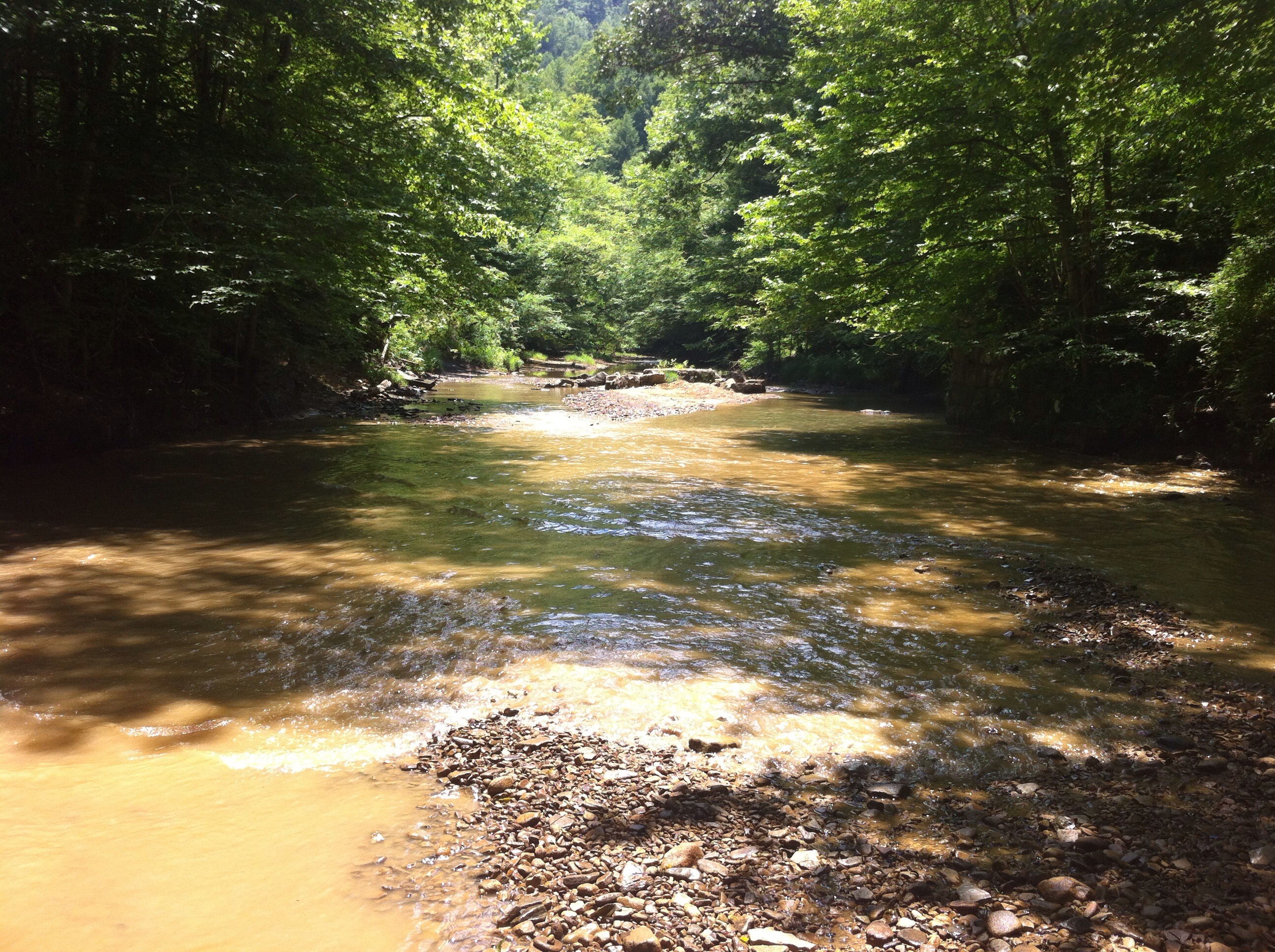
Little Blue Creek Road
2002 Shawnee Ct
7771 Frame Rd
Hurricane Road
Frame
5474 Rutledge Rd
62 Dons Dr
78 Dons Dr
Rutledge Rd, Charleston, WV, USA
Cedar Grove
C
Recent Searches:
- Elevation of Bella Terra Blvd, Estero, FL, USA
- Elevation of Estates Loop, Priest River, ID, USA
- Elevation of Woodland Oak Pl, Thousand Oaks, CA, USA
- Elevation of Brownsdale Rd, Renfrew, PA, USA
- Elevation of Corcoran Ln, Suffolk, VA, USA
- Elevation of Mamala II, Sariaya, Quezon, Philippines
- Elevation of Sarangdanda, Nepal
- Elevation of 7 Waterfall Way, Tomball, TX, USA
- Elevation of SW 57th Ave, Portland, OR, USA
- Elevation of Crocker Dr, Vacaville, CA, USA