Elevation of Clearfield County, PA, USA
Location: United States > Pennsylvania >
Longitude: -78.566085
Latitude: 40.9519685
Elevation: 427m / 1401feet
Barometric Pressure: 96KPa
Elevation Map:
Satellite Map:
Related Photos:
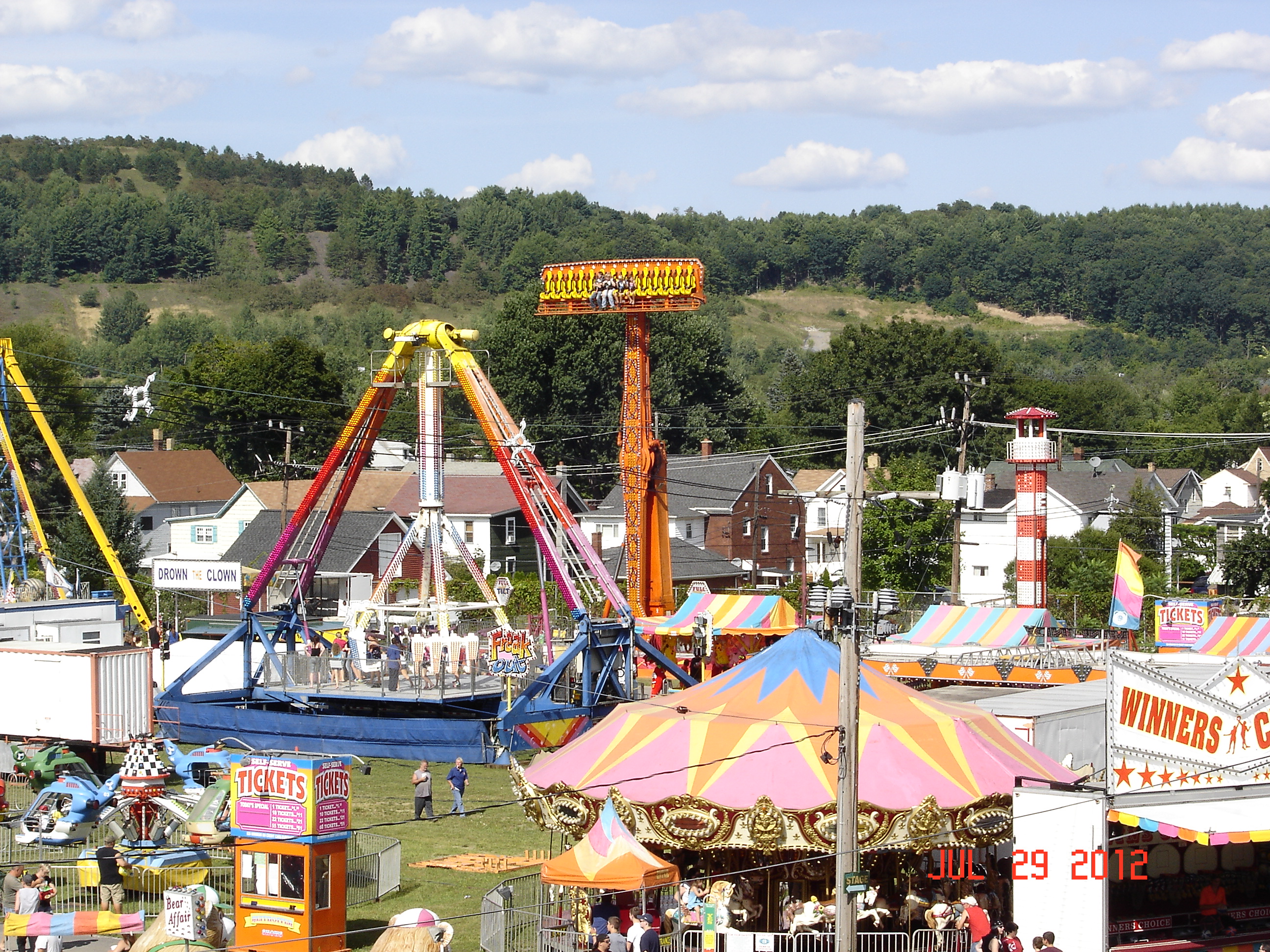
2012 Clearfield County Fair
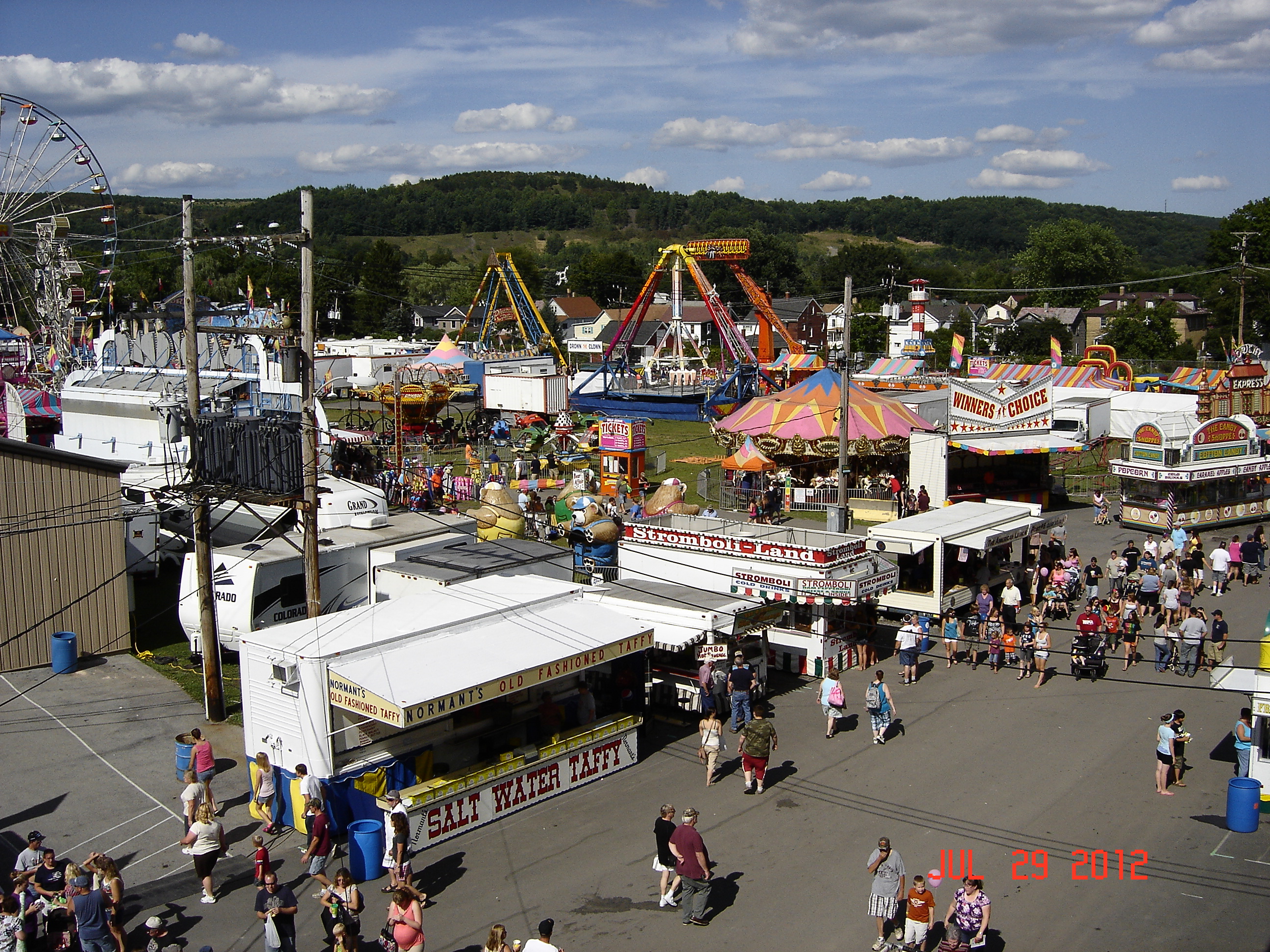
Birds Eye View
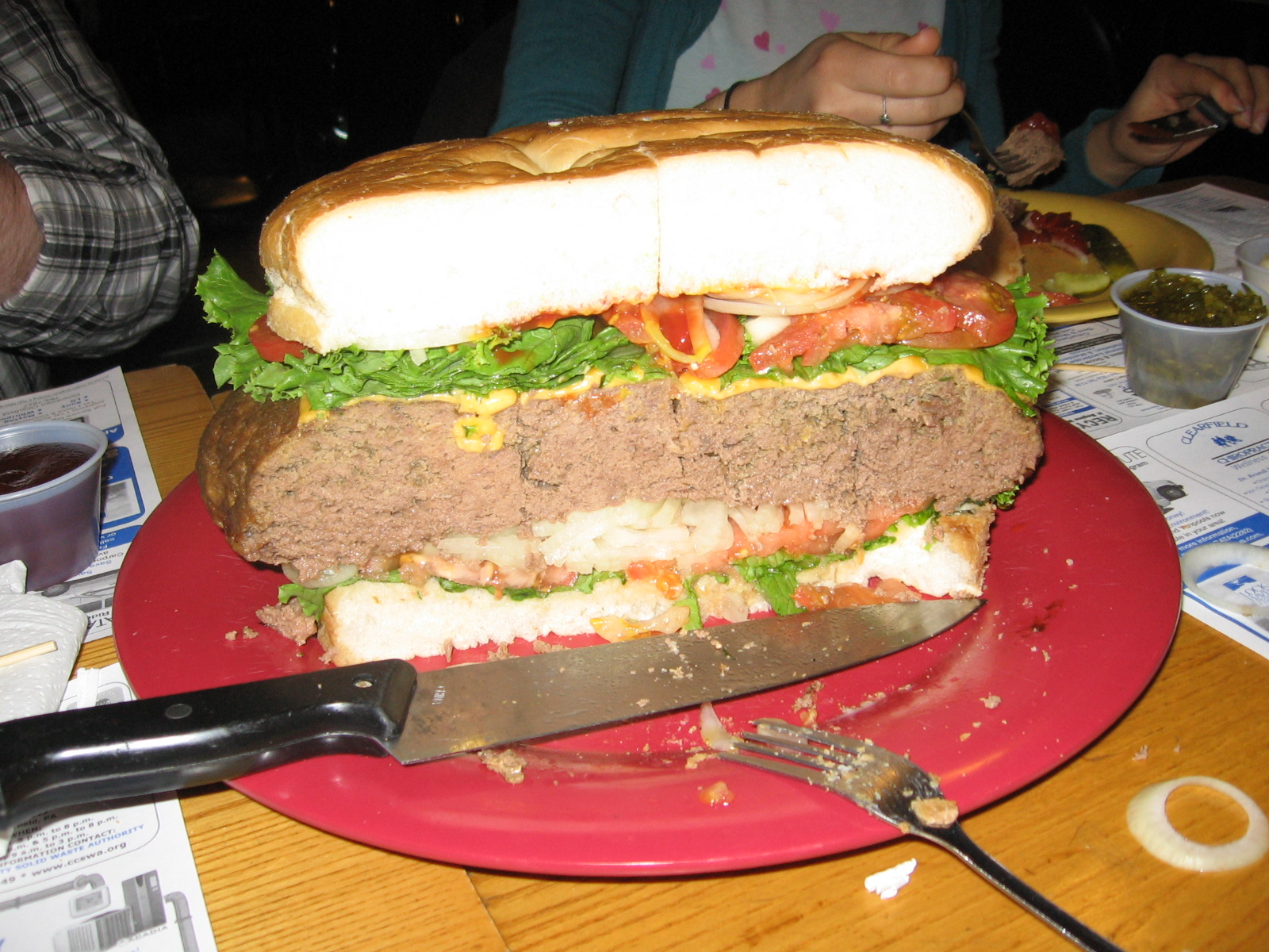
Cross-section View

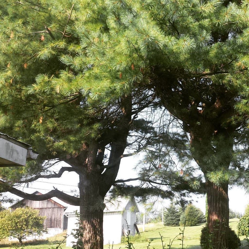
Ah the view up the hill. Morning from the farm
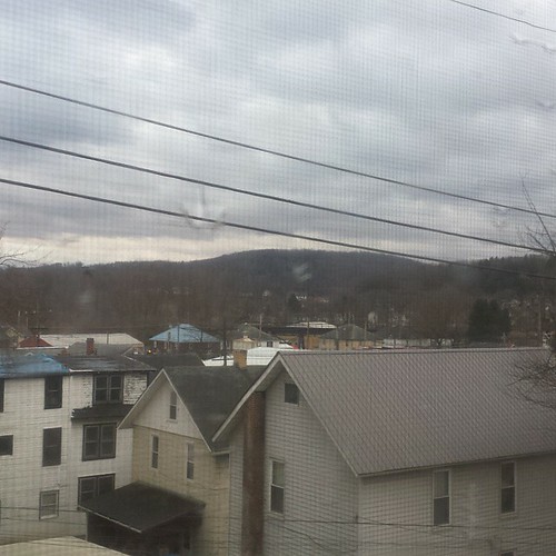
view from my window at the vacation home
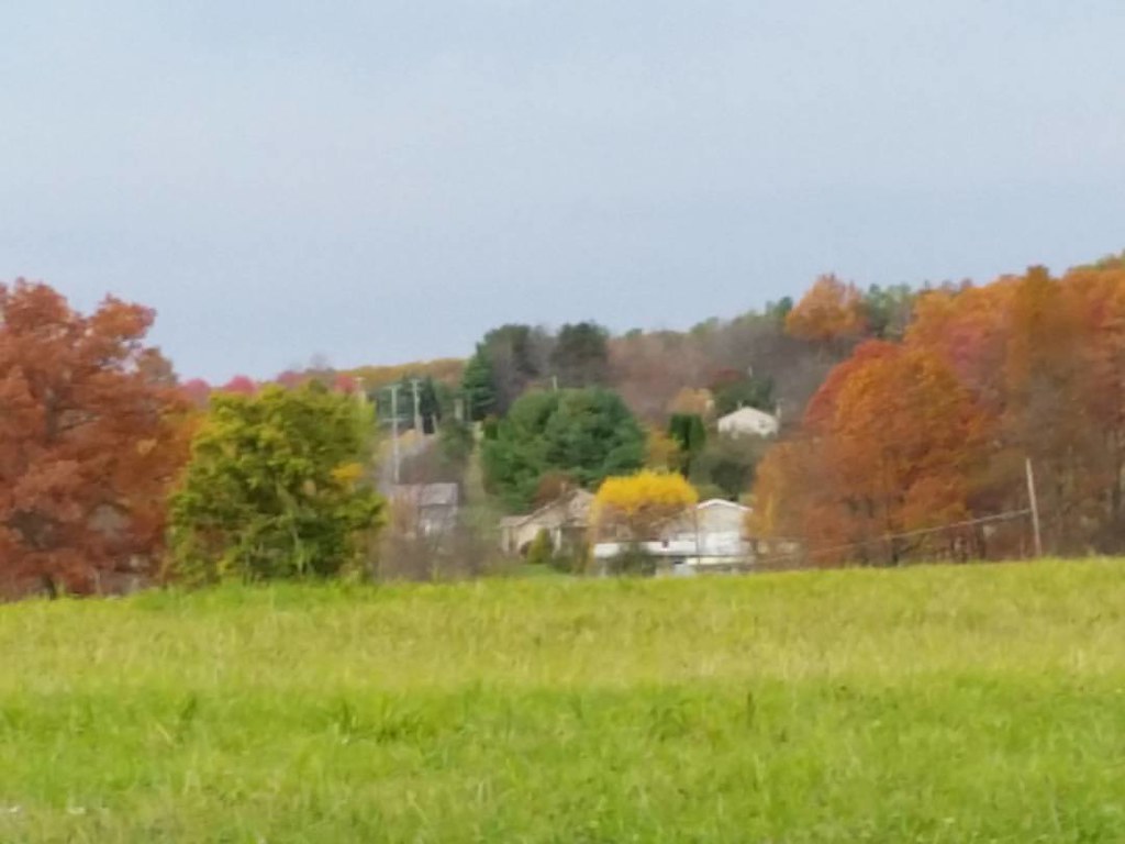
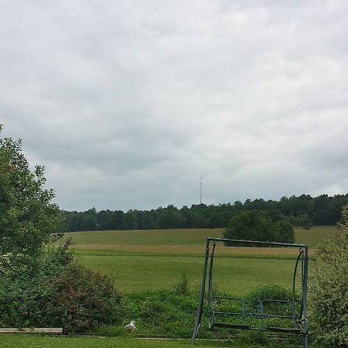
view of the farm from Hixon hill
View from my bedroom
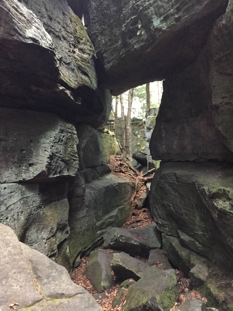
Panther Rocks
Panther Rocks
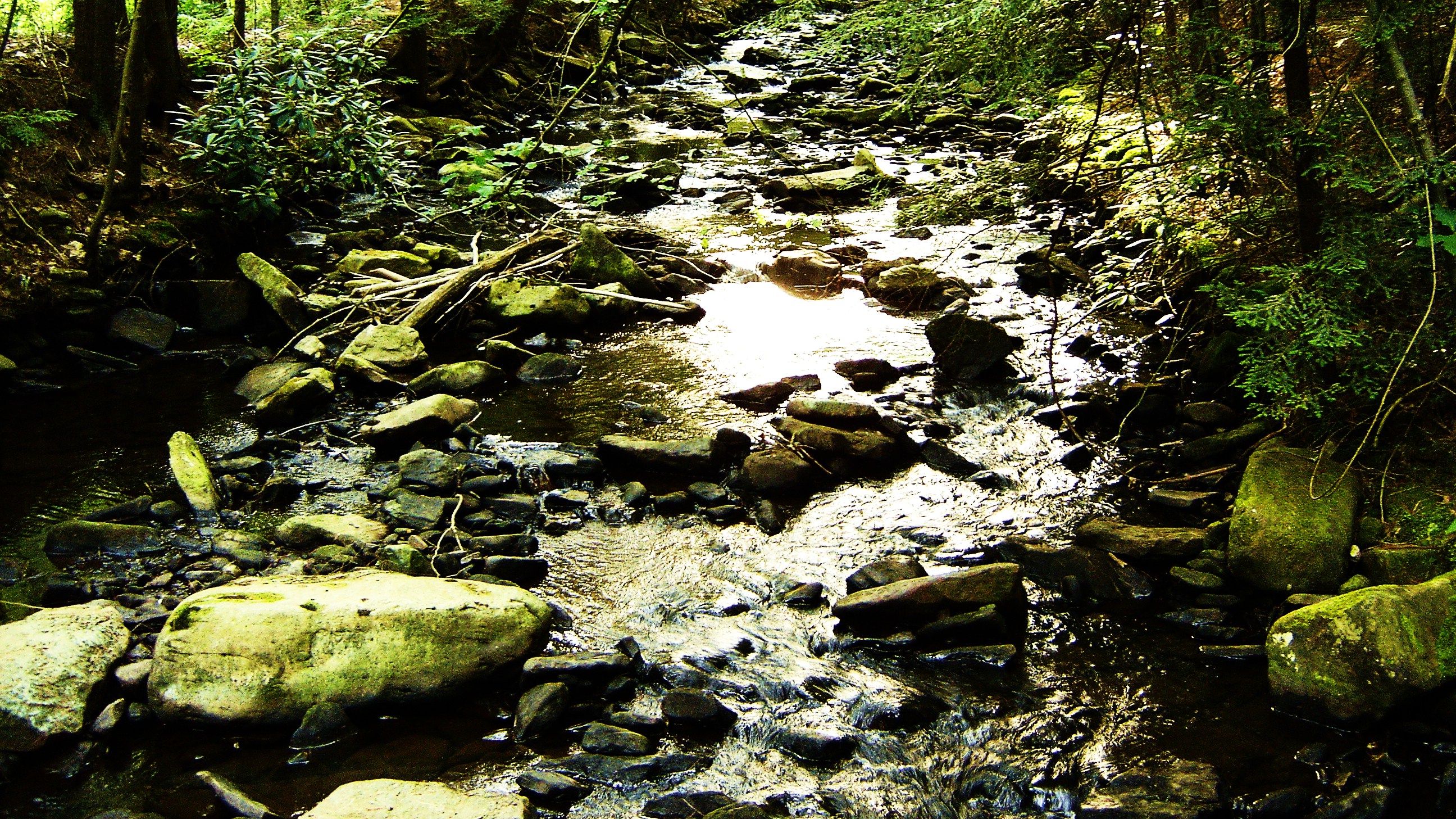
Natural Beauty

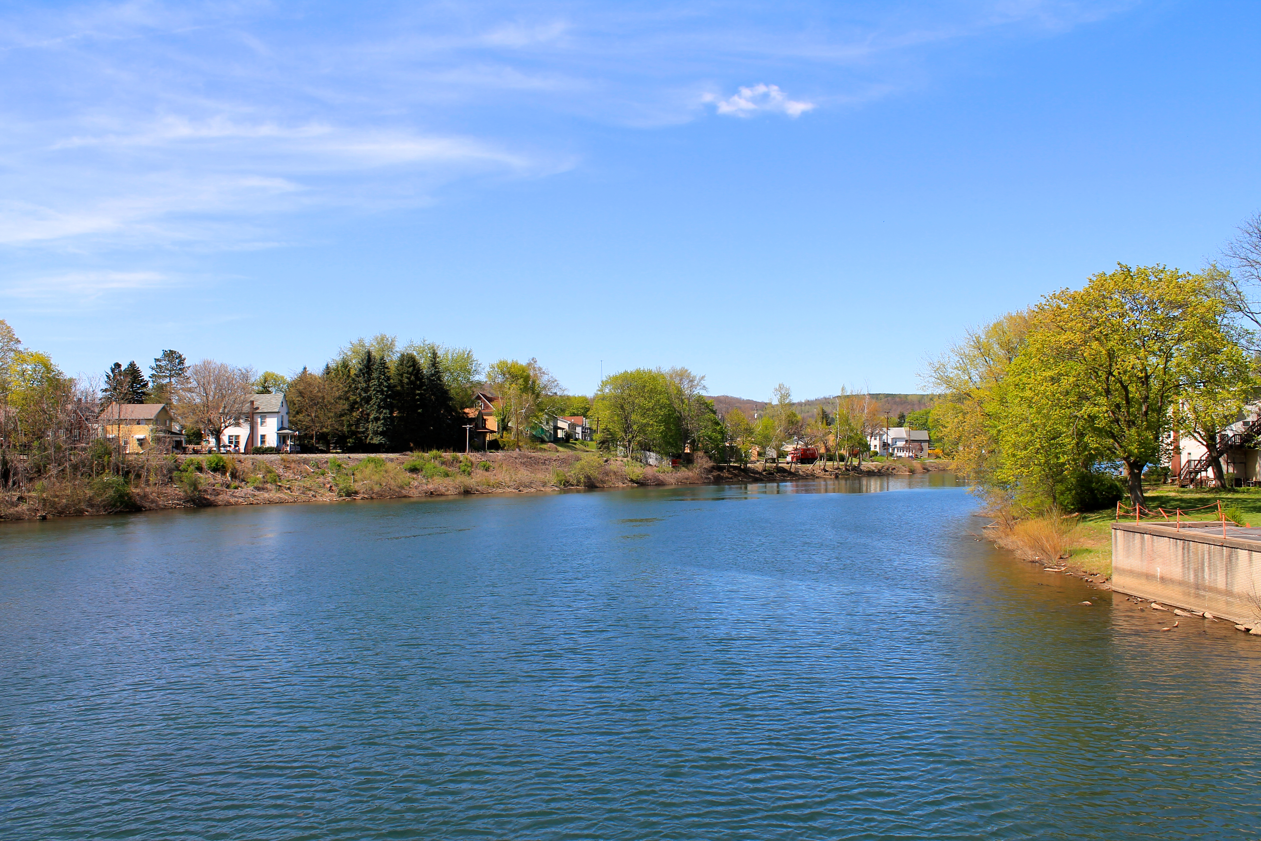
West Branch Susquehanna River, looking upstream - Clearfield, PA
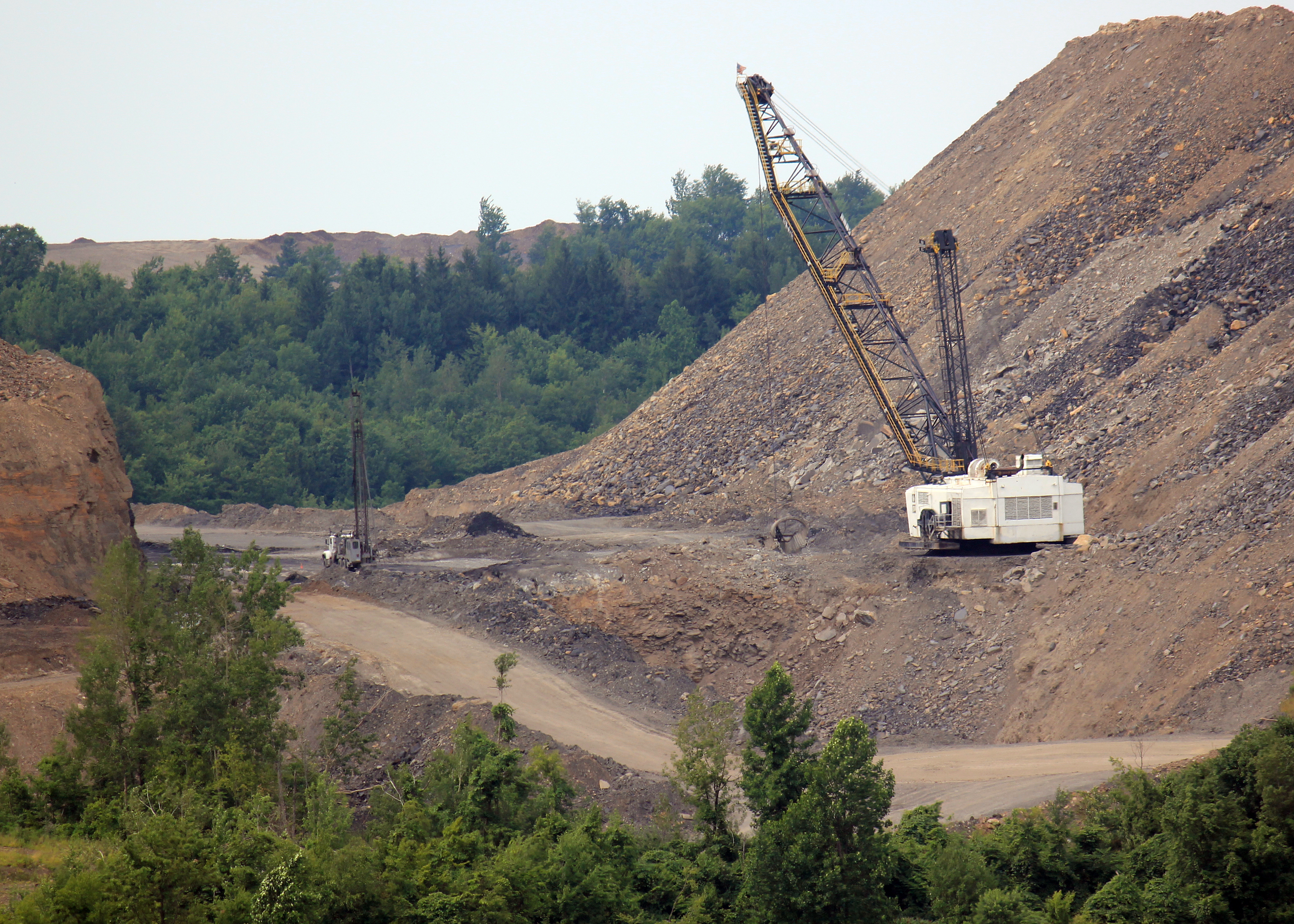
Topsoil? This IS topsoil !!!
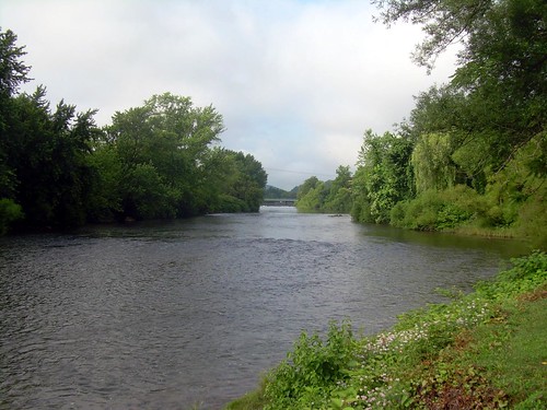
West Branch Susquehanna River, looking downstream - Clearfield, PA
eliott-7
IMG_7380.jpg

IMG_7347.jpg
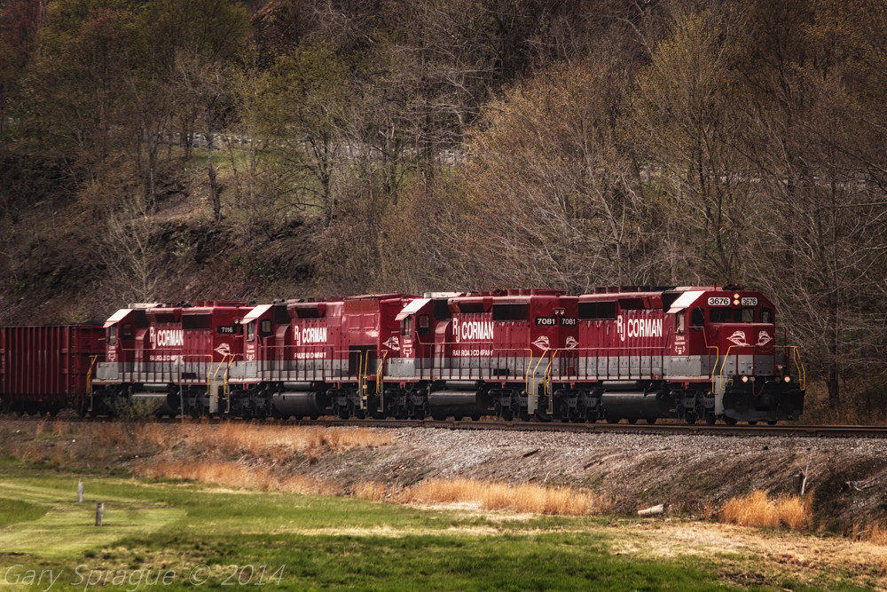
R.J. Corman Railroad
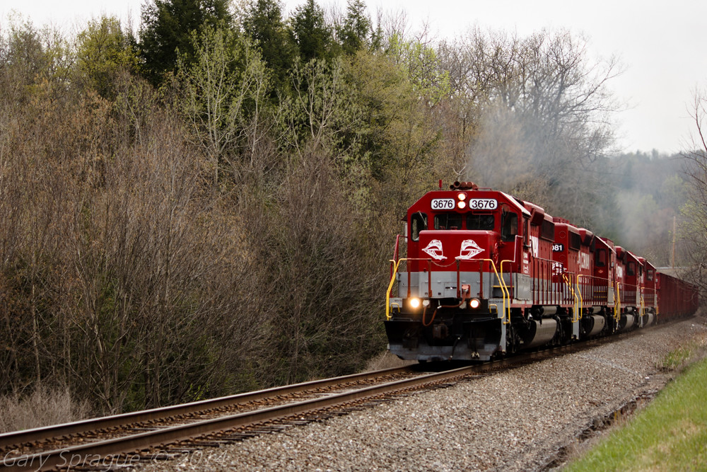
R.J. Corman Railroad
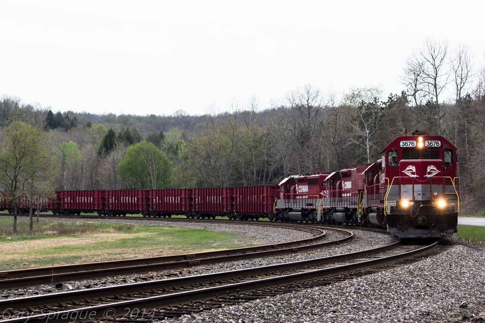
R.J. Corman Railroad
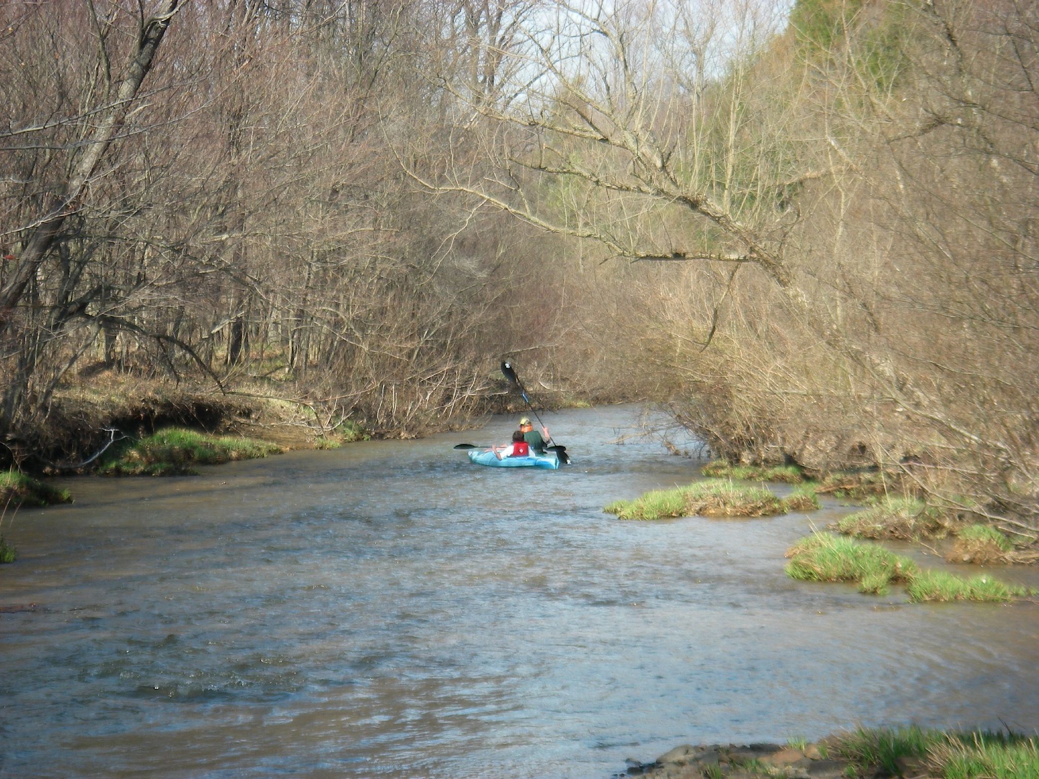
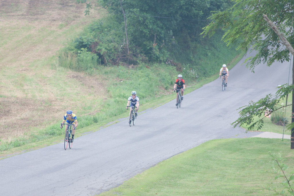
First Day of Trout Weekend 04-17-09 thru 04-19-09 038
Looking up the ridge by KAO
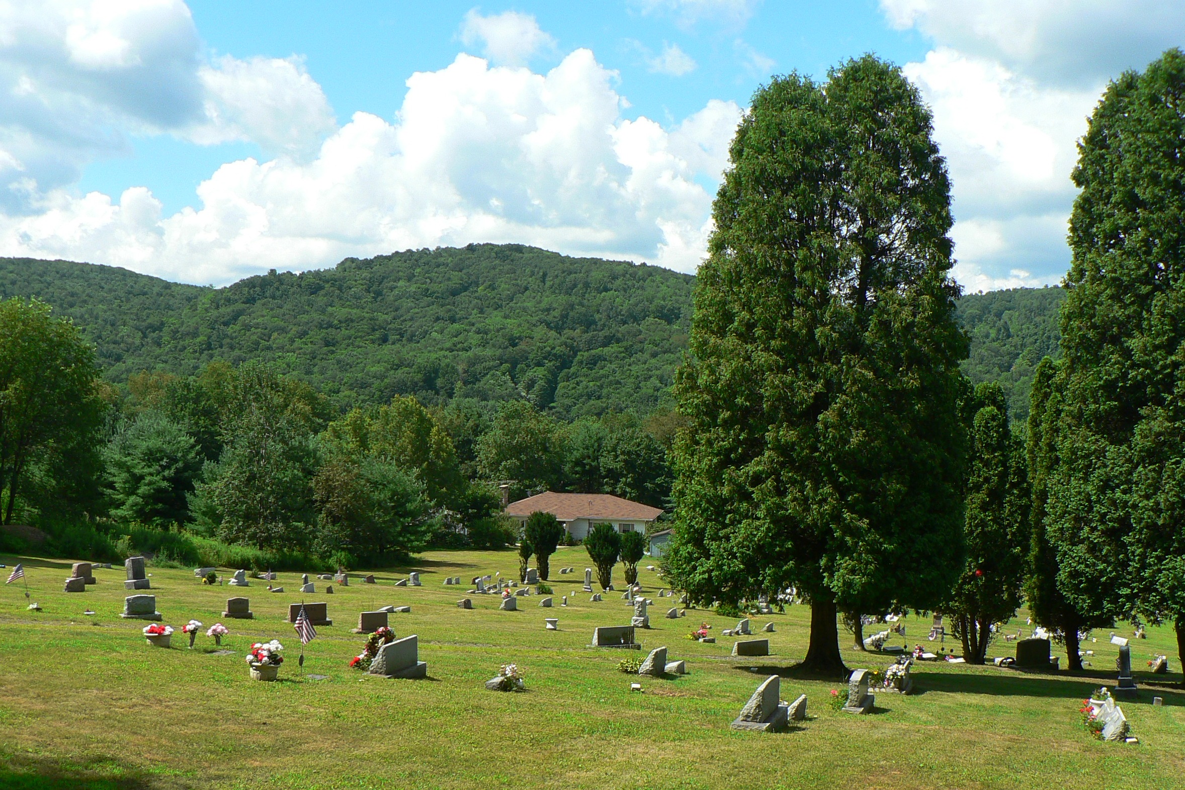
mahaffey graveyard
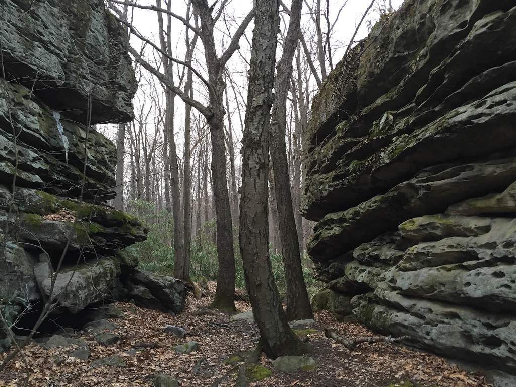
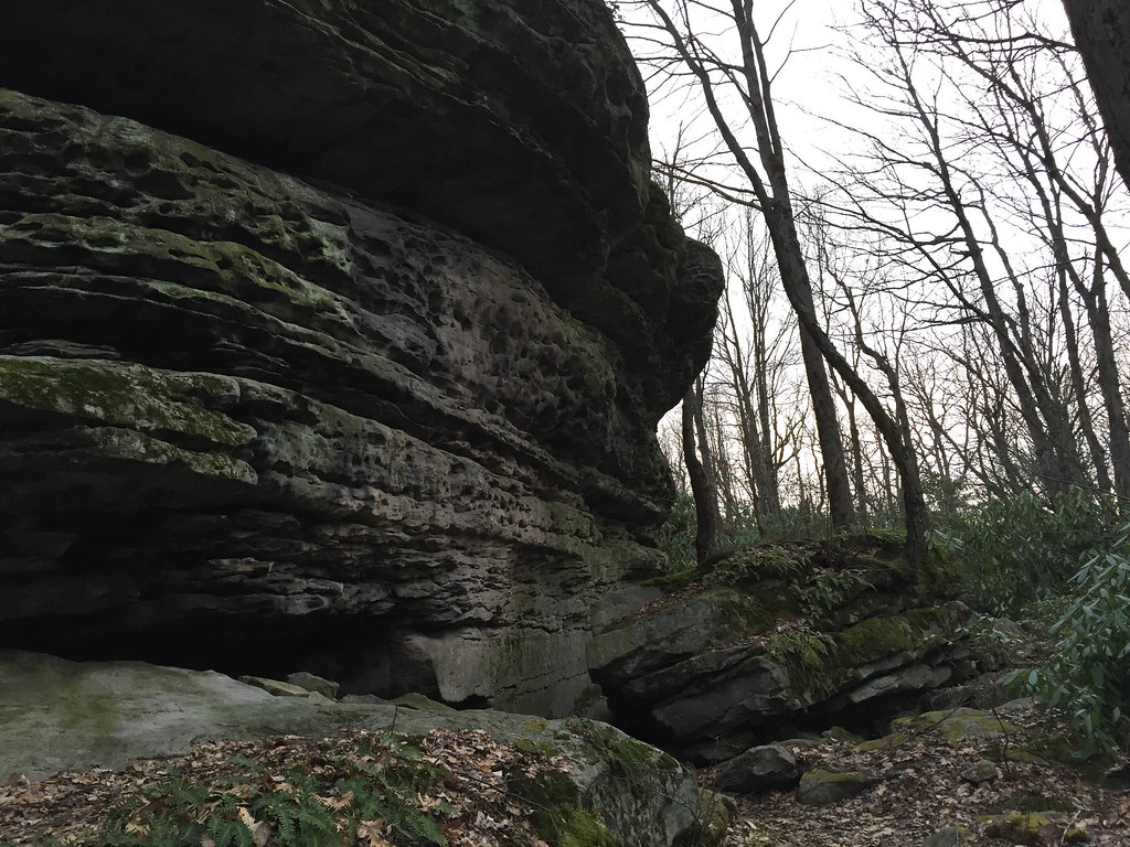
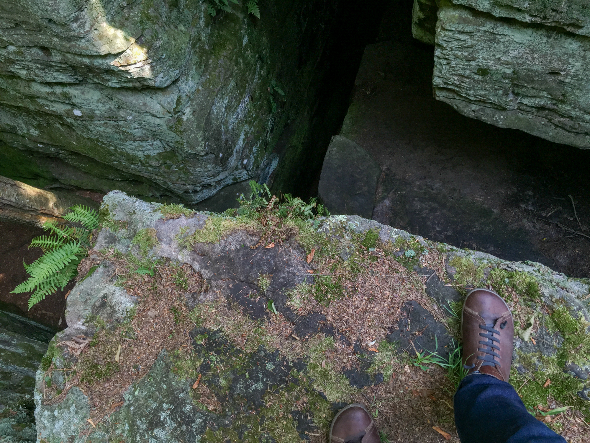
Bilger's Rocks
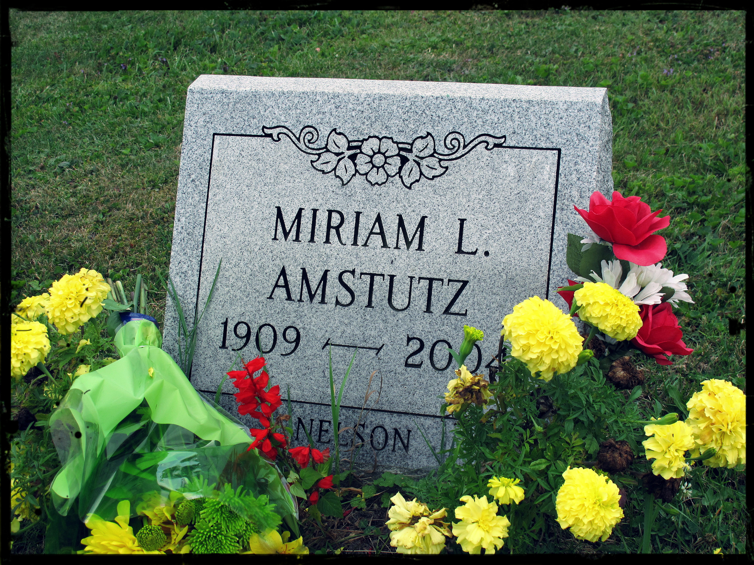
Miriam L. Amstutz (1909–2004)
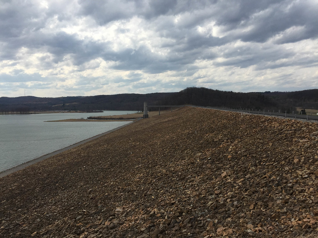
Curwensville Dam

First Day of Trout Weekend 04-17-09 thru 04-19-09 040
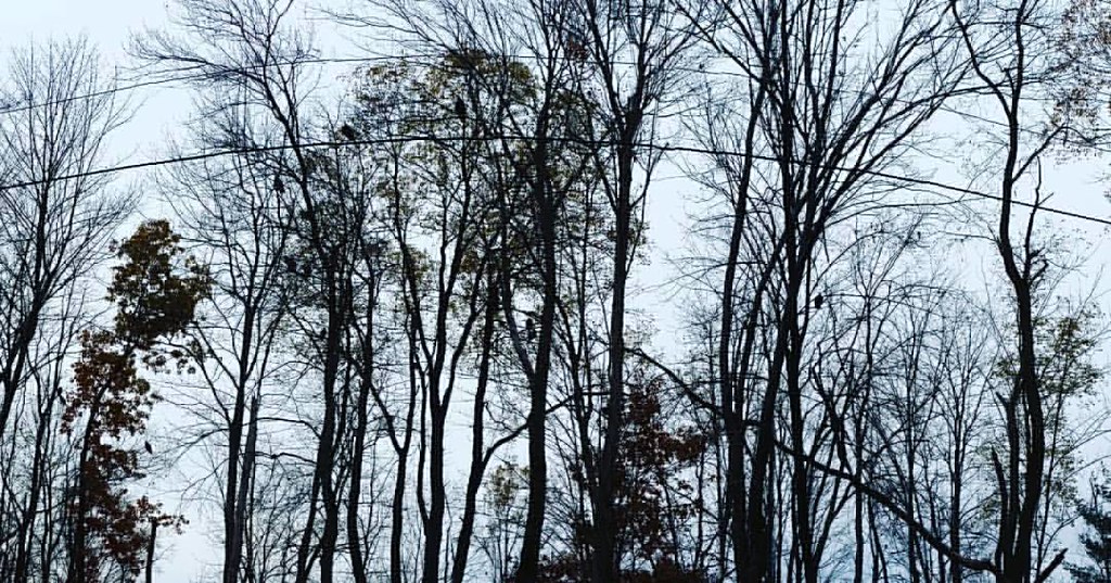
creepy #birds
IMG_9220.jpg
Topographic Map of Clearfield County, PA, USA
Find elevation by address:

Places in Clearfield County, PA, USA:
Sandy Township
Cooper Township
Lawrence Township
Bell Township
Knox Township
Huston Township
Greenwood Township
Bigler Township
Osceola Mills
Westover
Jordan Township
Pike Township
Beccaria Township
Burnside Township
Karthaus Township
Goshen Township
Girard Township
Bradford Township
Lumber City
Penn Township
Brisbin
Pine Township
Covington Township
Boggs Township
Woodward Township
Pottersdale
Morris Township
Marron Rd, Curwensville, PA, USA
28 Witmer Rd, Irvona, PA, USA
Blackburn Rd, Houtzdale, PA, USA
Irvona Rd, Irvona, PA, USA
85 Valley Ln, Frenchville, PA, USA
Westover
Westover
Westover
Westover
Westover
Westover
Spring St, Houtzdale, PA, USA
18 Bills Rd, Clearfield, PA, USA
Ginter Morann Hwy, Houtzdale, PA, USA
Irishtown Rd, Grampian, PA, USA
Grampian
Curwensville
Ramey
Luthersburg
Mahaffey
Glen Hope
Coalport
Union Township
Gulich Township
Places near Clearfield County, PA, USA:
701 Windy Hill Rd
80 Kirk St, Curwensville, PA, USA
Lumber City
165 Shannon Heights Rd
1818 Mcfadden Rd
New Millport
Olanta
Olanta Road
Mahaffey Grampian Hwy, Mahaffey, PA, USA
Knox Township
Tyrone Pike, Irvona, PA, USA
Church Rd, Curwensville, PA, USA
Marron Rd, Curwensville, PA, USA
Greenwood Township
Jordan Township
2977 Douglas Rd
Camp Corbly Rd, Mahaffey, PA, USA
Curwensville Tyrone Hwy, Olanta, PA, USA
Oak Ridge Rd, Madera, PA, USA
Hammer Rd, Curwensville, PA, USA
Recent Searches:
- Elevation of Corso Fratelli Cairoli, 35, Macerata MC, Italy
- Elevation of Tallevast Rd, Sarasota, FL, USA
- Elevation of 4th St E, Sonoma, CA, USA
- Elevation of Black Hollow Rd, Pennsdale, PA, USA
- Elevation of Oakland Ave, Williamsport, PA, USA
- Elevation of Pedrógão Grande, Portugal
- Elevation of Klee Dr, Martinsburg, WV, USA
- Elevation of Via Roma, Pieranica CR, Italy
- Elevation of Tavkvetili Mountain, Georgia
- Elevation of Hartfords Bluff Cir, Mt Pleasant, SC, USA