Elevation of Ramey, PA, USA
Location: United States > Pennsylvania > Clearfield County >
Longitude: -78.397241
Latitude: 40.7981154
Elevation: 492m / 1614feet
Barometric Pressure: 96KPa
Elevation Map:
Satellite Map:
Related Photos:

{beach scenes} my view.
"Mountain top view"
Glasgow (panoramic) - May 1976
18:365 Afternoon View
First Day of Trout Weekend 04-17-09 thru 04-19-09 038
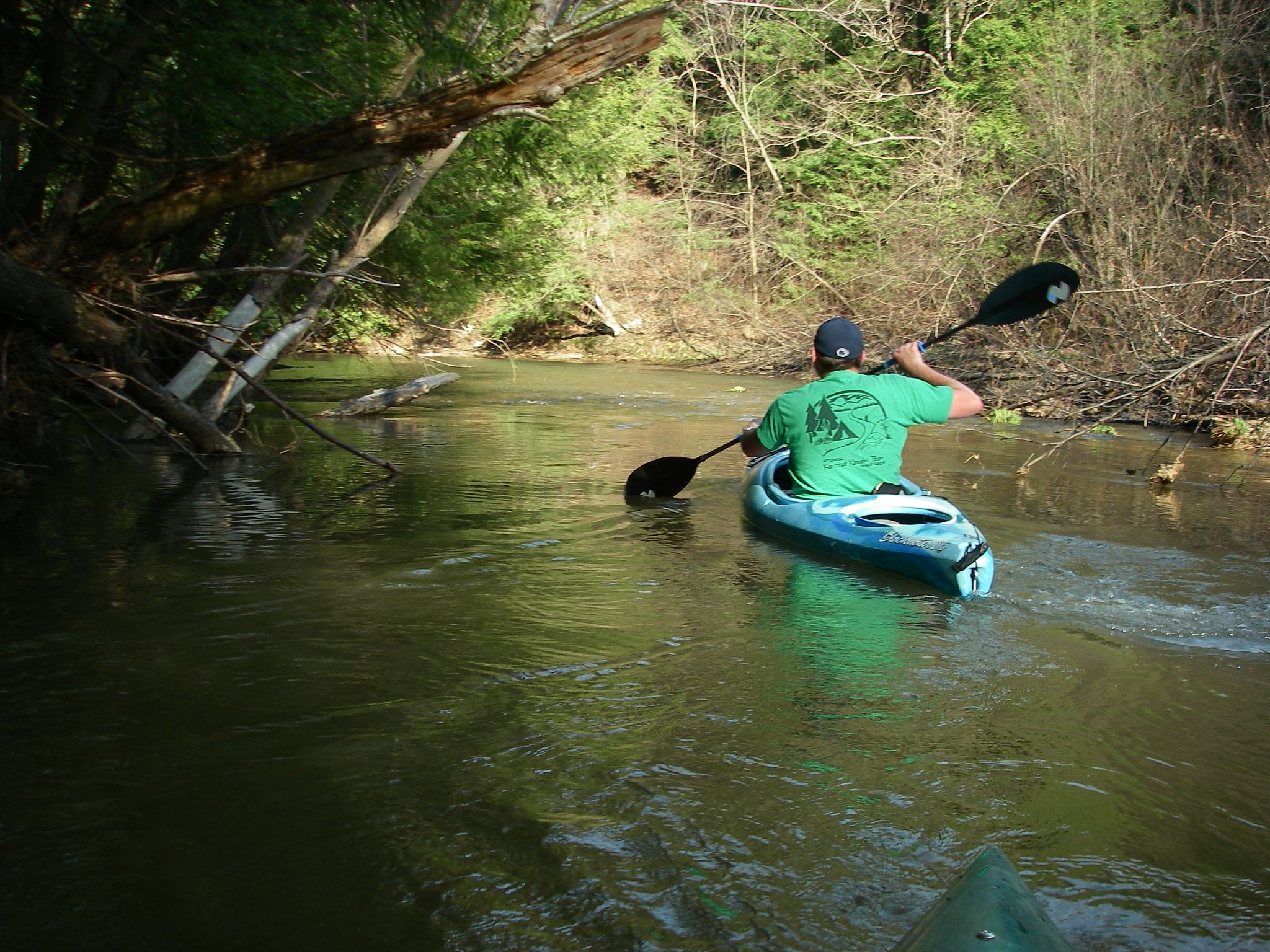
First Day of Trout Weekend 04-17-09 thru 04-19-09 040

156:365 State Stores Always Make Me Miss Living In Georgia

Coalport, Pennsylvania 1997
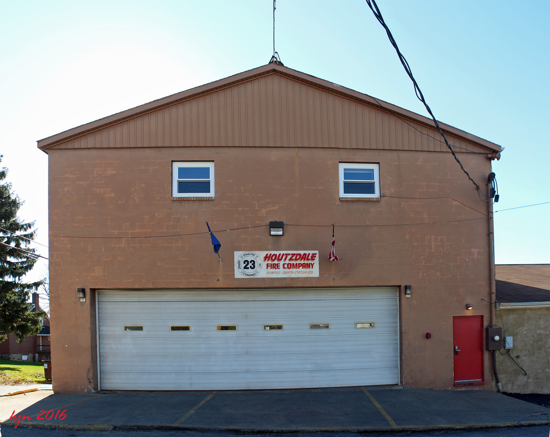
2016 1113 Houtzdale FD 23 a
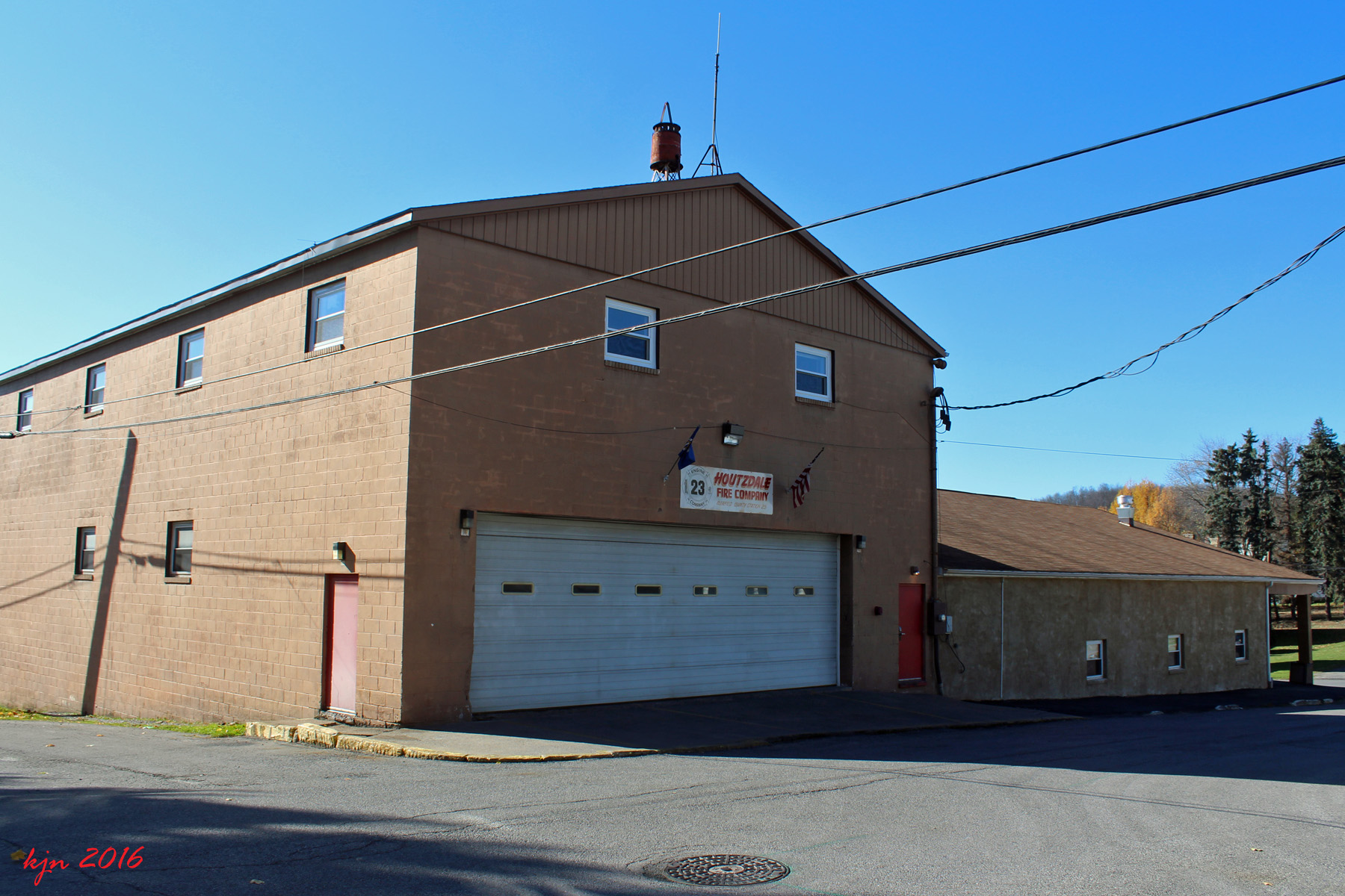
2016 1113 Houtzdale FD 23 b
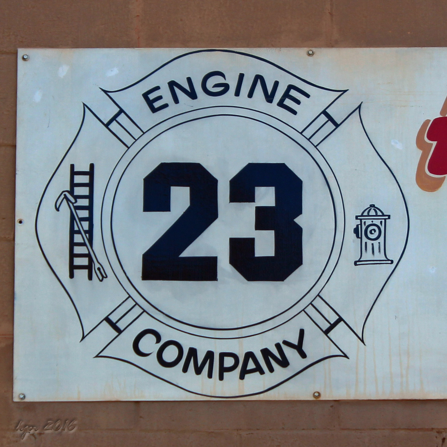
2016 1113 Houtzdale FD 23 c

20151004-1006 - Pennsylvania Trip
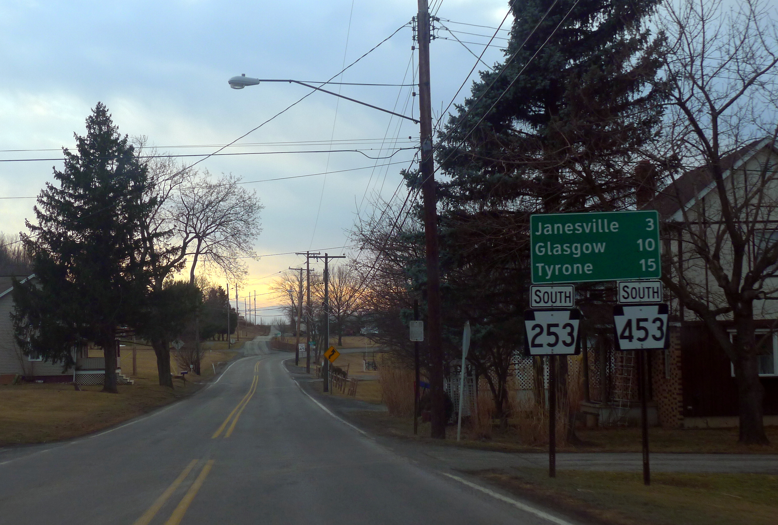
Blue highways of Clearfield County
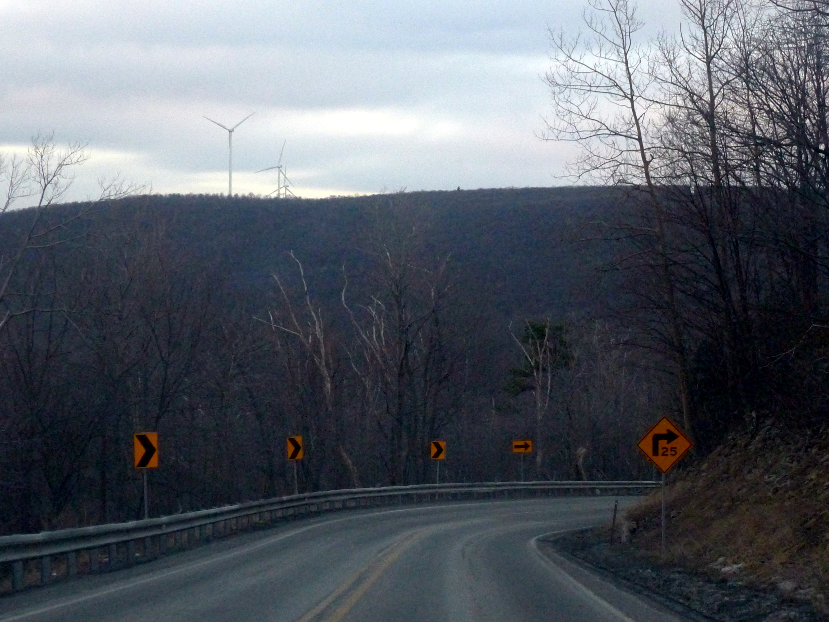
Winding down the Allegheny Front on PA 453

Ole Aching Back Joe - Fallentimber, Pennsylvania
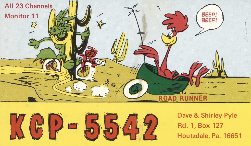
Road Runner - Houtzdale, Pennsylvania
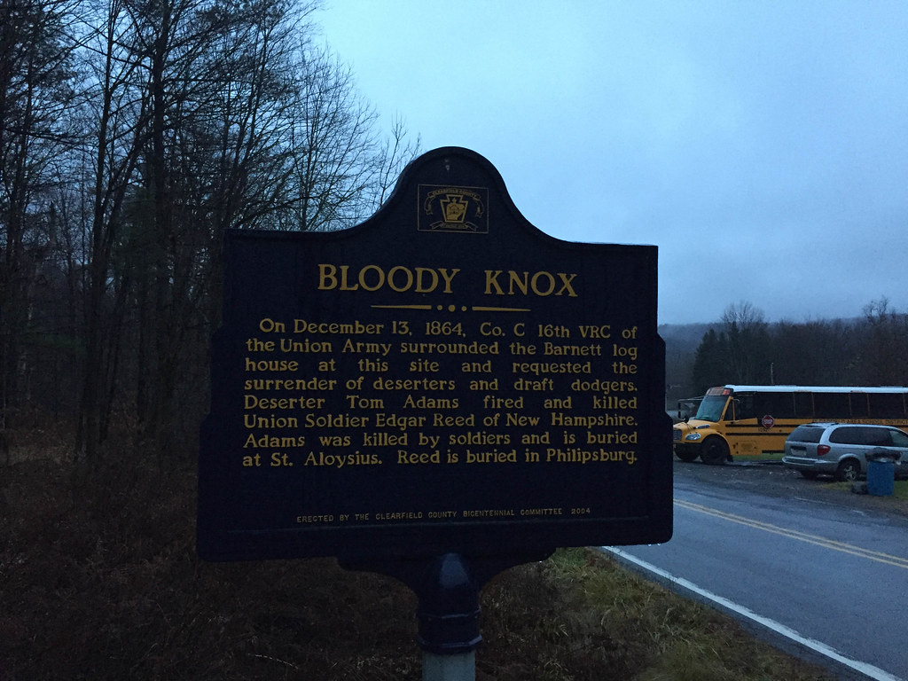
Bloody Knox
2014-09-08_06-19-01

After The Rain
Summer blues and greens
M bil Servi e
257:365 Dinner run to P-Burg...

245:365 Chocolate Indulgence...
Topographic Map of Ramey, PA, USA
Find elevation by address:

Places near Ramey, PA, USA:
Morann Ave, Houtzdale, PA, USA
Atlantic Ave, Houtzdale, PA, USA
Houtzdale
Brisbin
15 Poland Ave, Houtzdale, PA, USA
Blackburn Rd, Houtzdale, PA, USA
Spring St, Houtzdale, PA, USA
Woodward Township
Osceola Mills
Centre Rd, Osceola Mills, PA, USA
Logan St, Osceola Mills, PA, USA
Boggs Township
Sandy Ridge
496 State St
State St, Osceola Mills, PA, USA
West Decatur
Blue Ball Rd, West Decatur, PA, USA
Philipsburg
322 5th St
Rush Township
Recent Searches:
- Elevation of Elwyn Dr, Roanoke Rapids, NC, USA
- Elevation of Congressional Dr, Stevensville, MD, USA
- Elevation of Bellview Rd, McLean, VA, USA
- Elevation of Stage Island Rd, Chatham, MA, USA
- Elevation of Shibuya Scramble Crossing, 21 Udagawacho, Shibuya City, Tokyo -, Japan
- Elevation of Jadagoniai, Kaunas District Municipality, Lithuania
- Elevation of Pagonija rock, Kranto 7-oji g. 8"N, Kaunas, Lithuania
- Elevation of Co Rd 87, Jamestown, CO, USA
- Elevation of Tenjo, Cundinamarca, Colombia
- Elevation of Côte-des-Neiges, Montreal, QC H4A 3J6, Canada