Elevation of Huston Township, PA, USA
Location: United States > Pennsylvania > Clearfield County >
Longitude: -78.588795
Latitude: 41.2128595
Elevation: 465m / 1526feet
Barometric Pressure: 96KPa
Elevation Map:
Satellite Map:
Related Photos:
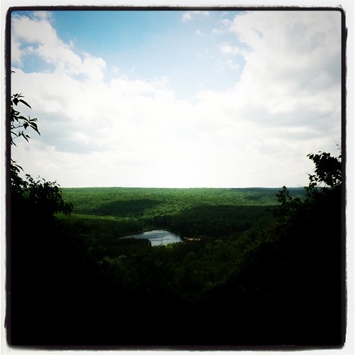
Parker Dam - Trail of New Giants View
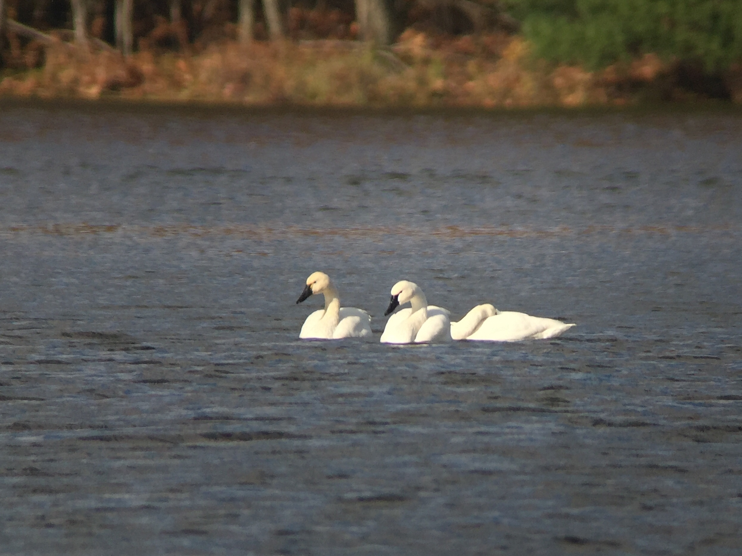
Tundra Swans - DuBois Reservoir, Clearfield Co, PA - Oct 29, 2015

2011-05-06 13.56.42

307 - Pizza Party
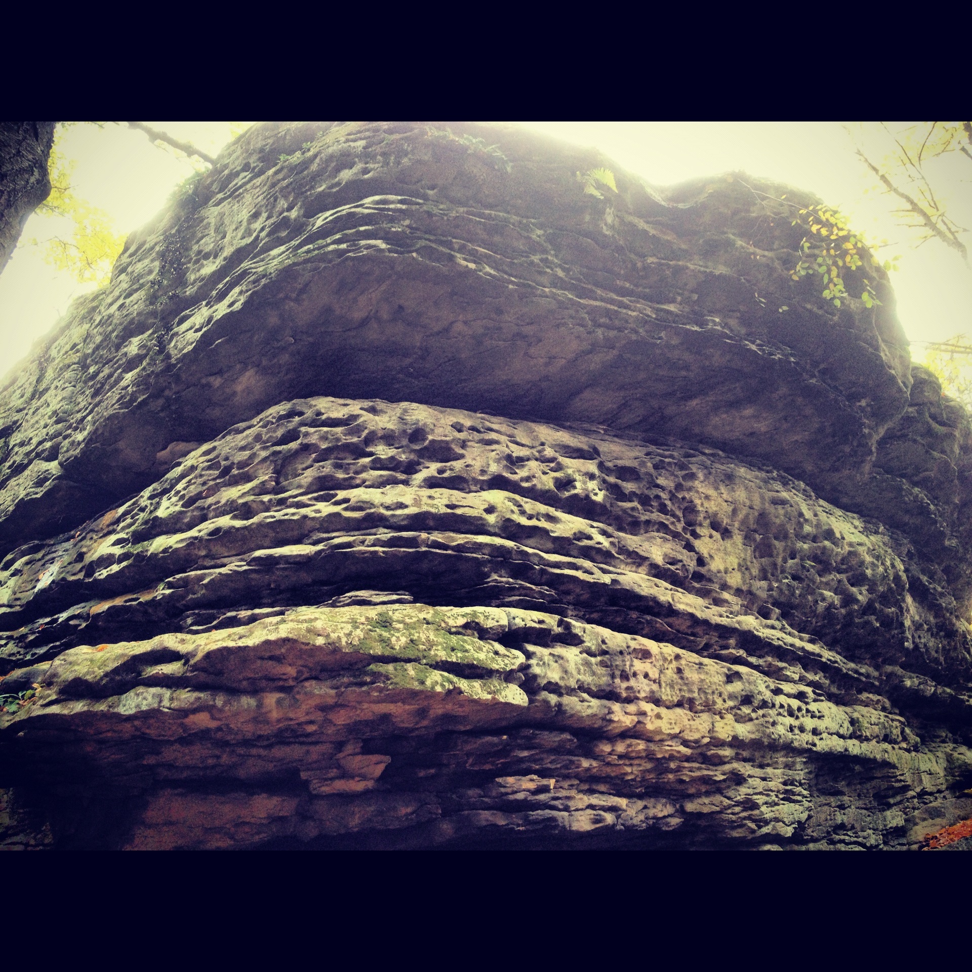
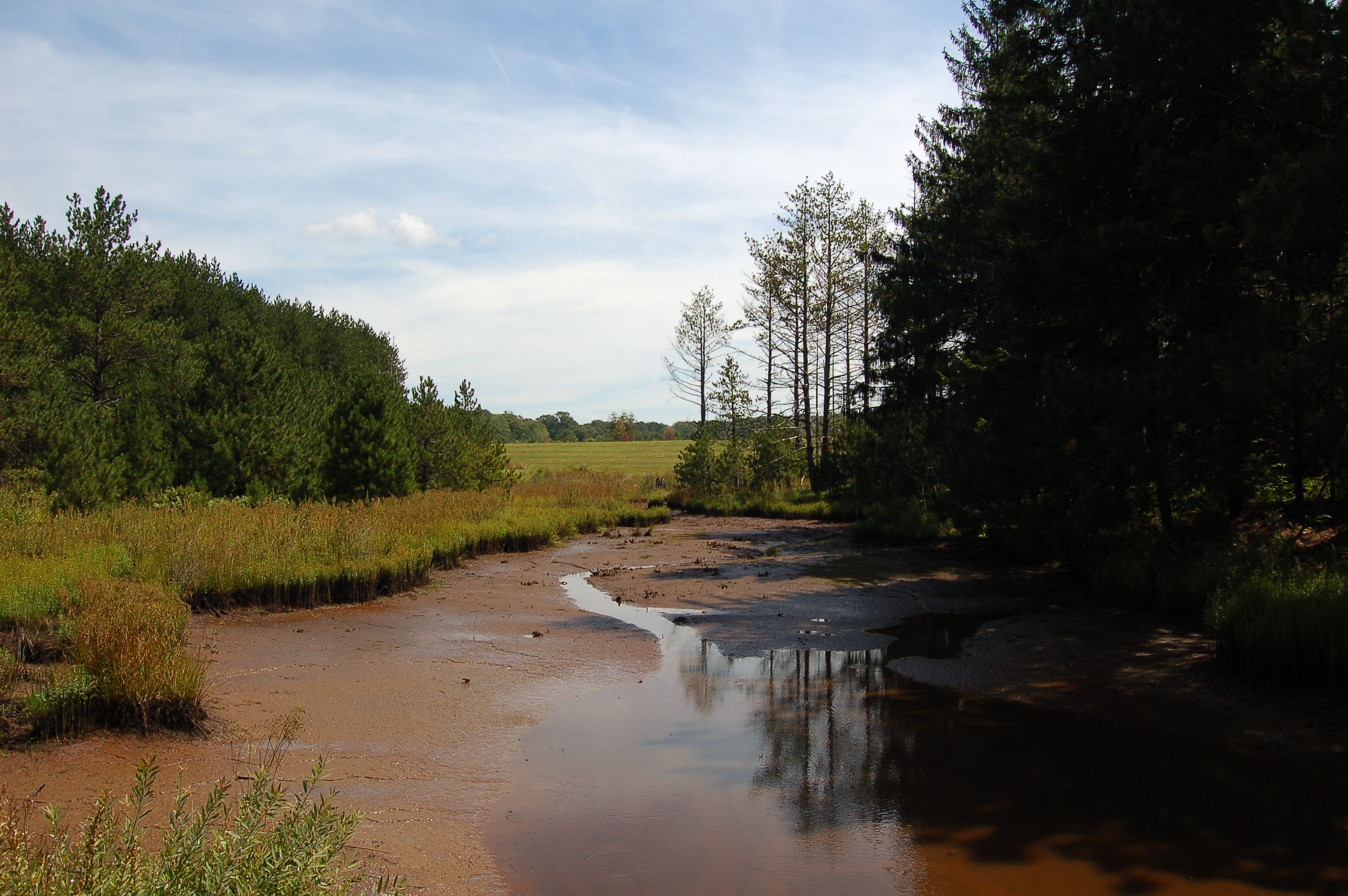
Panther Rock
Parker Dam, PA
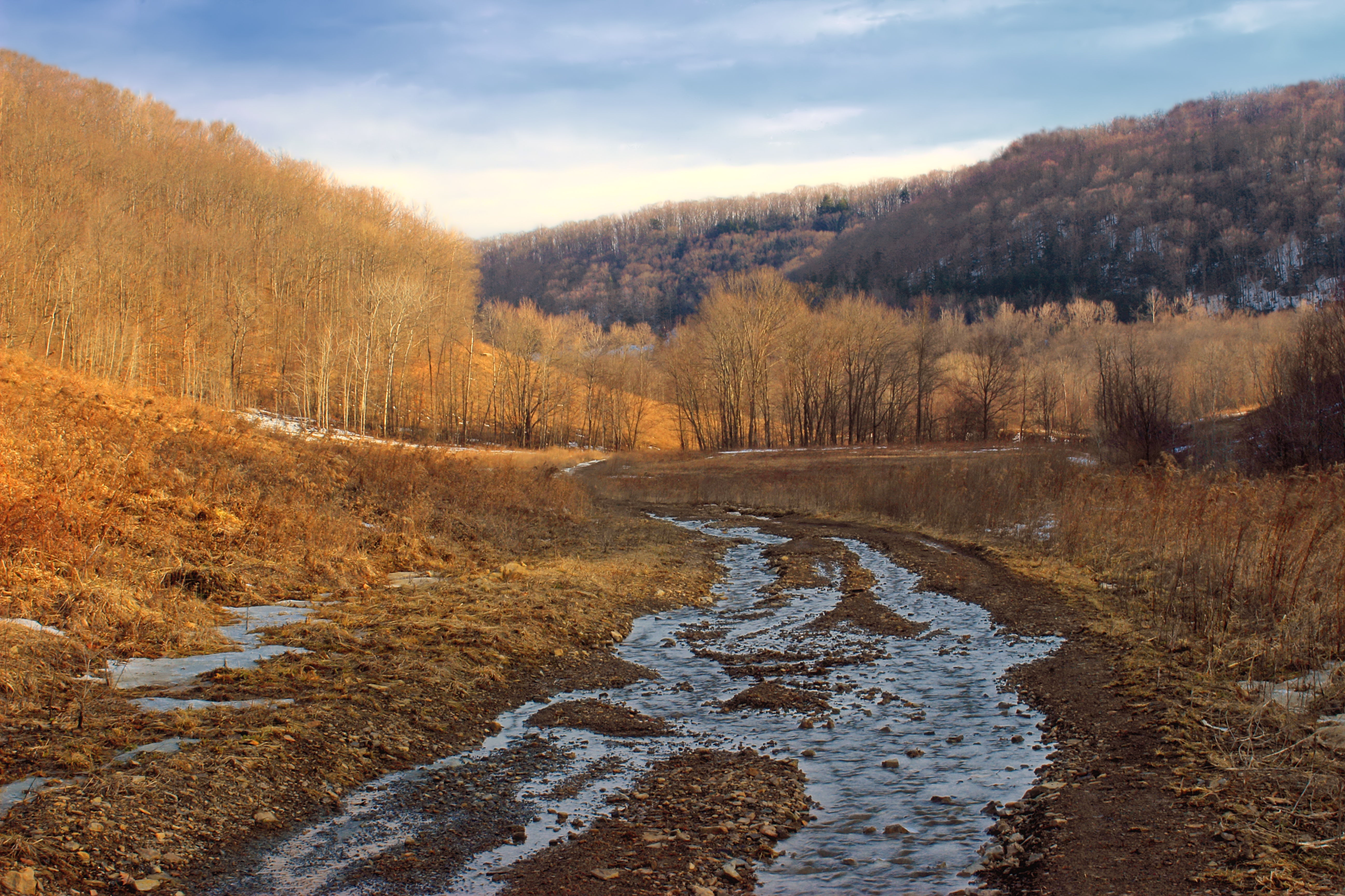
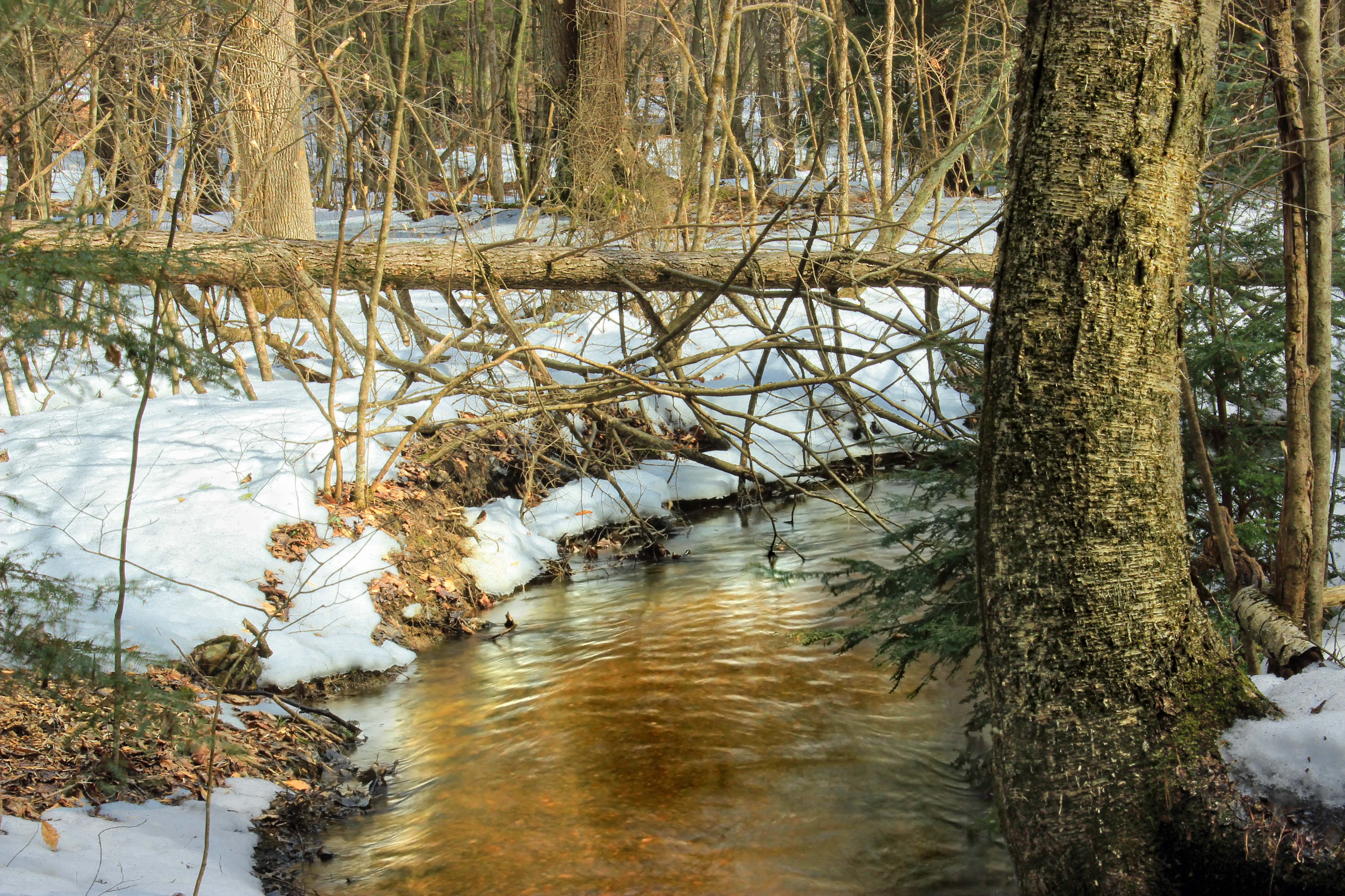
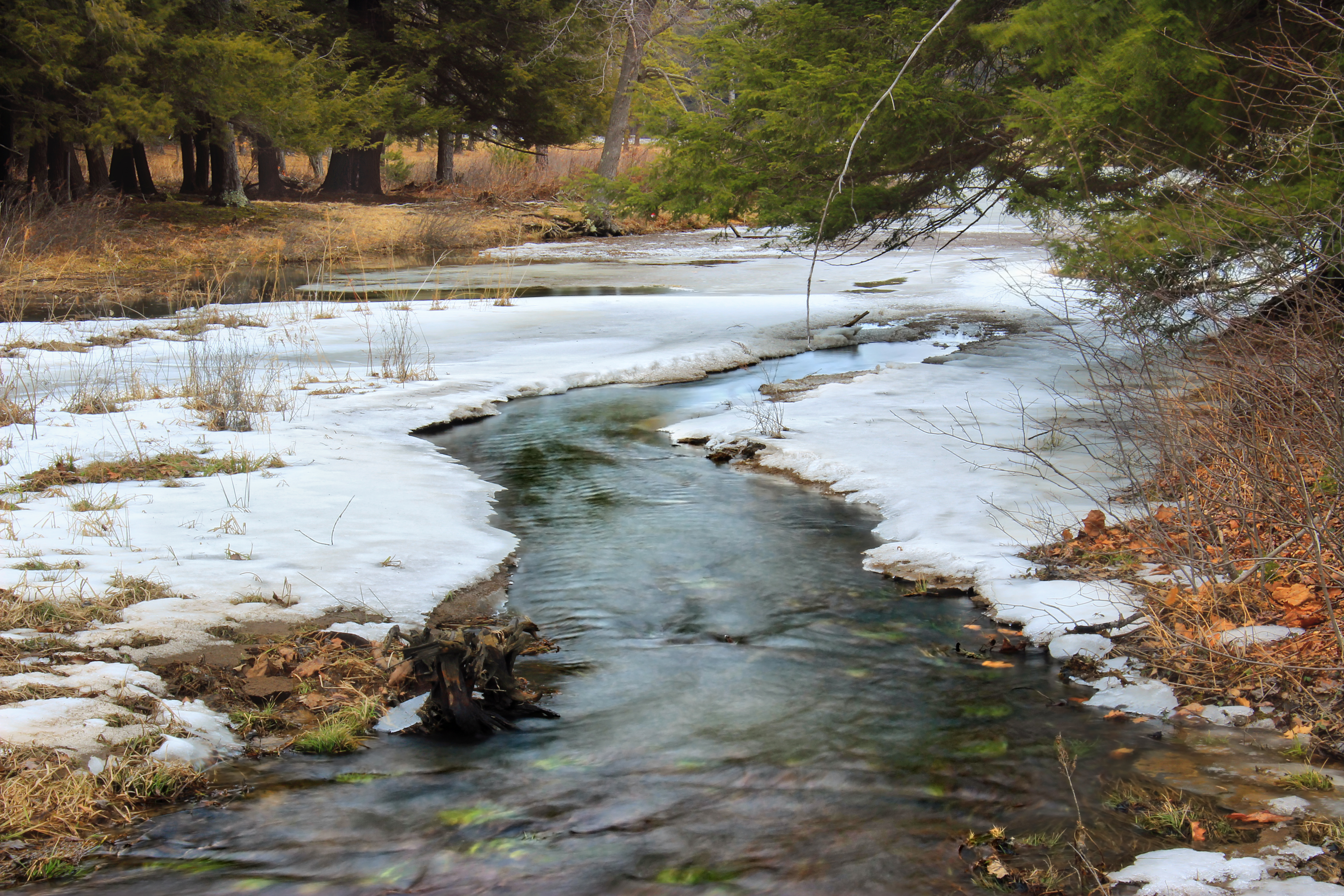
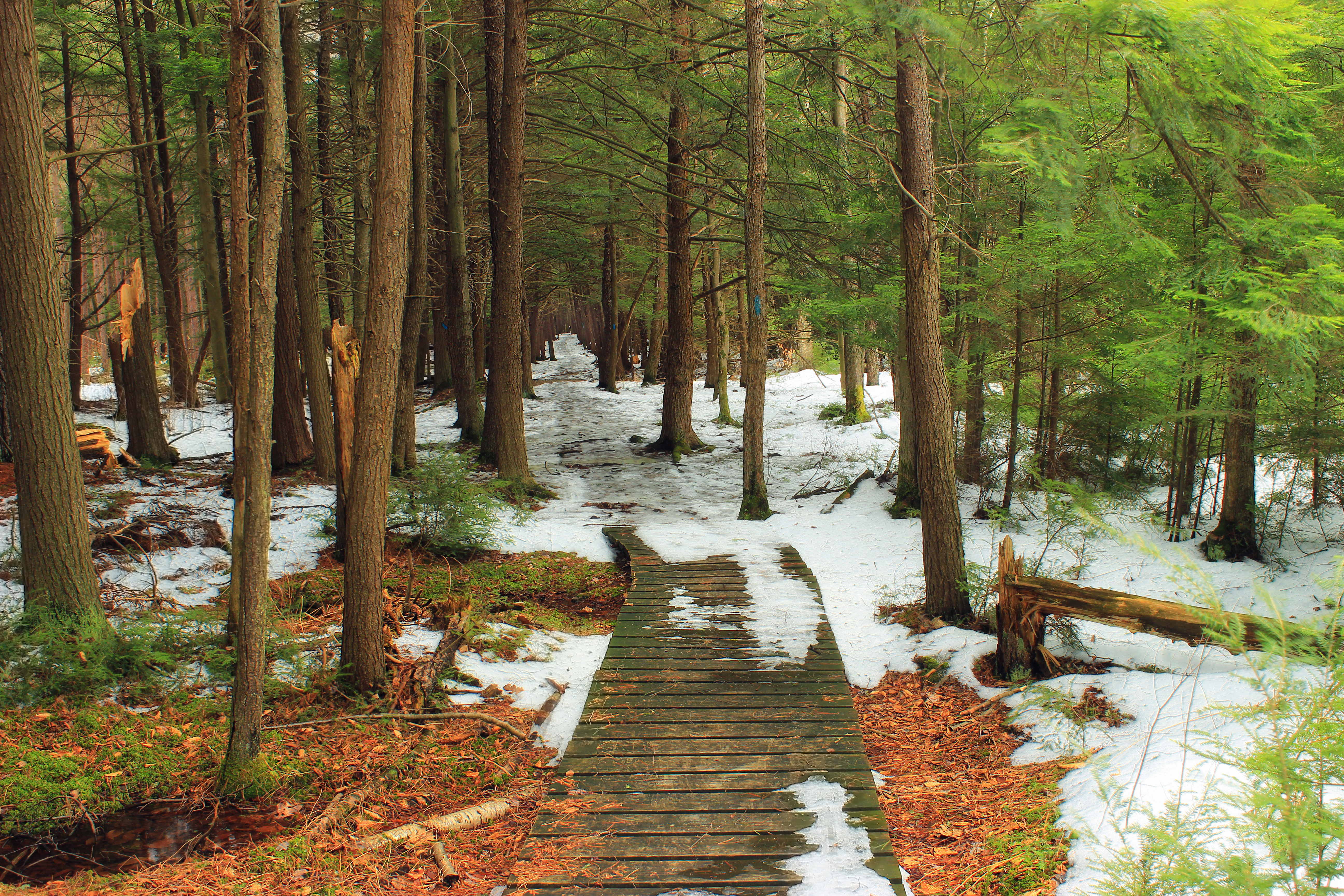
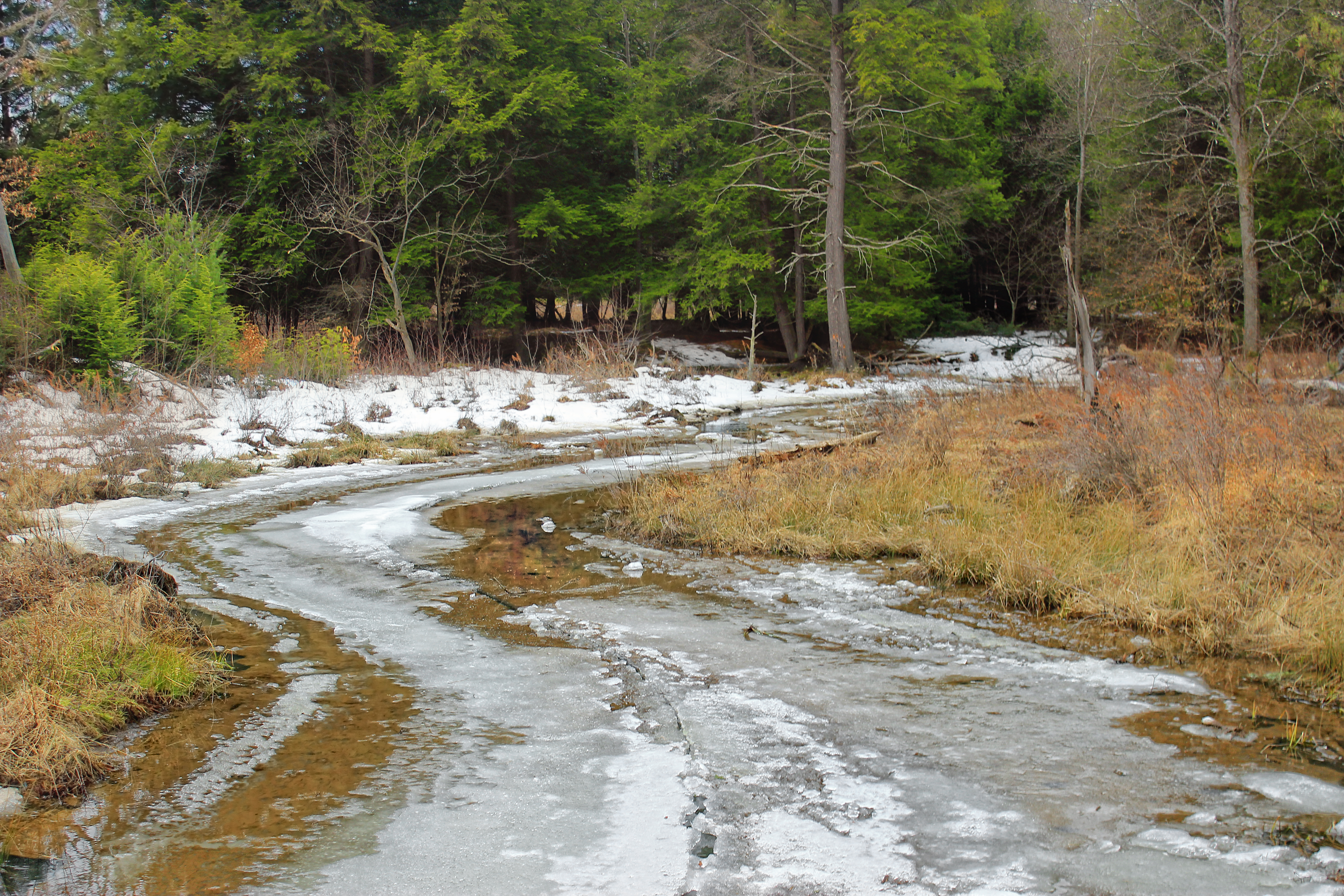
Snowmelt (3)

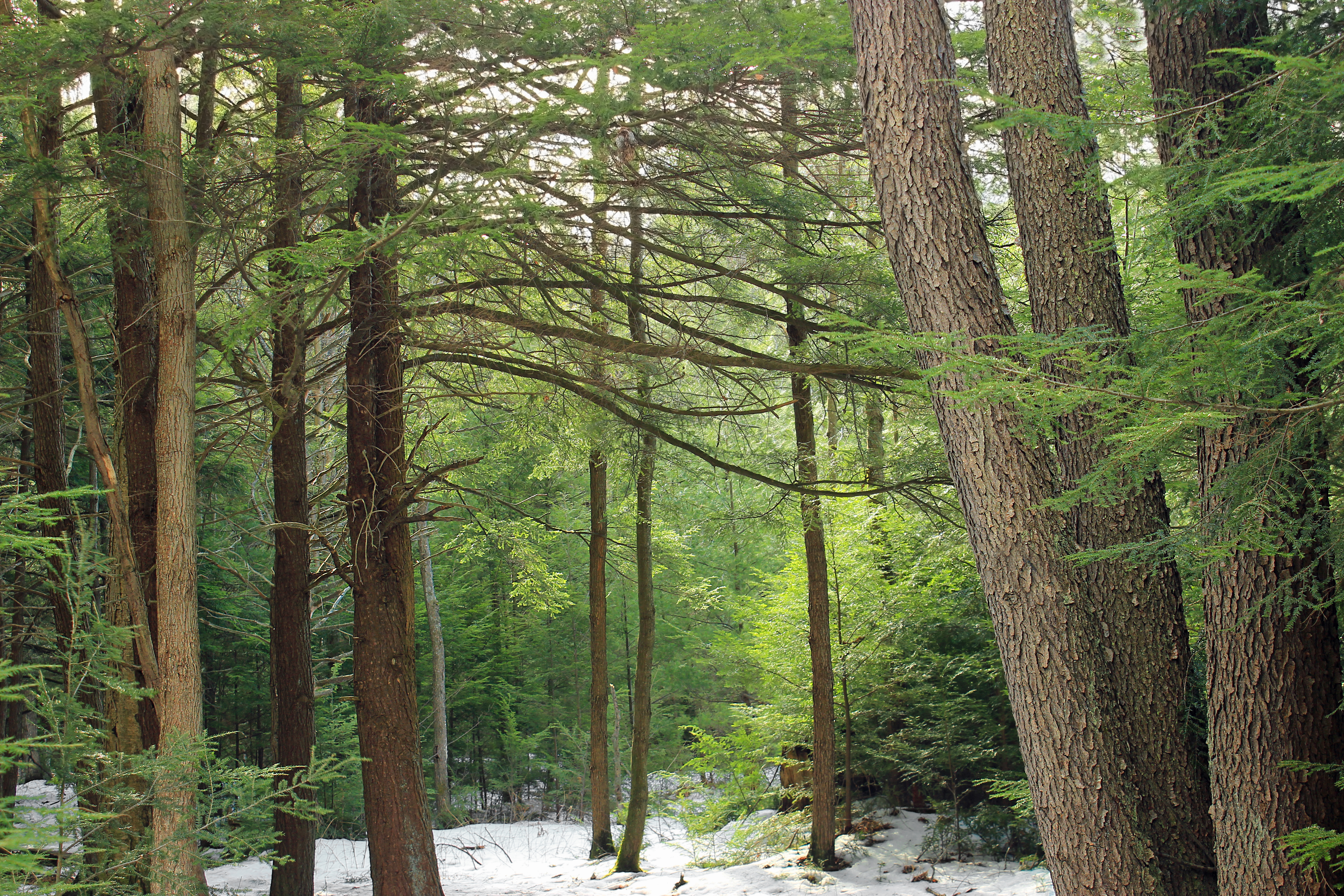
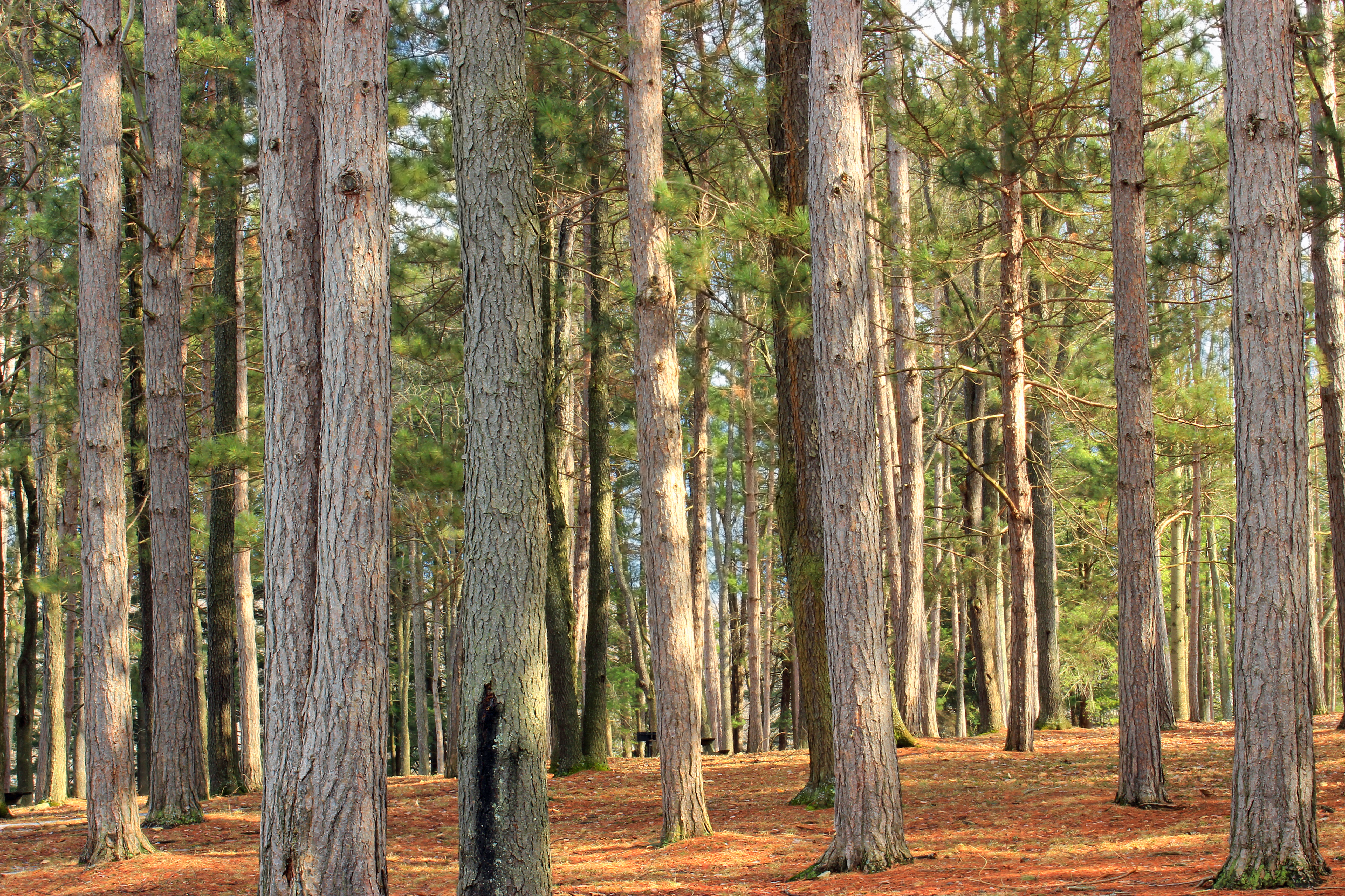
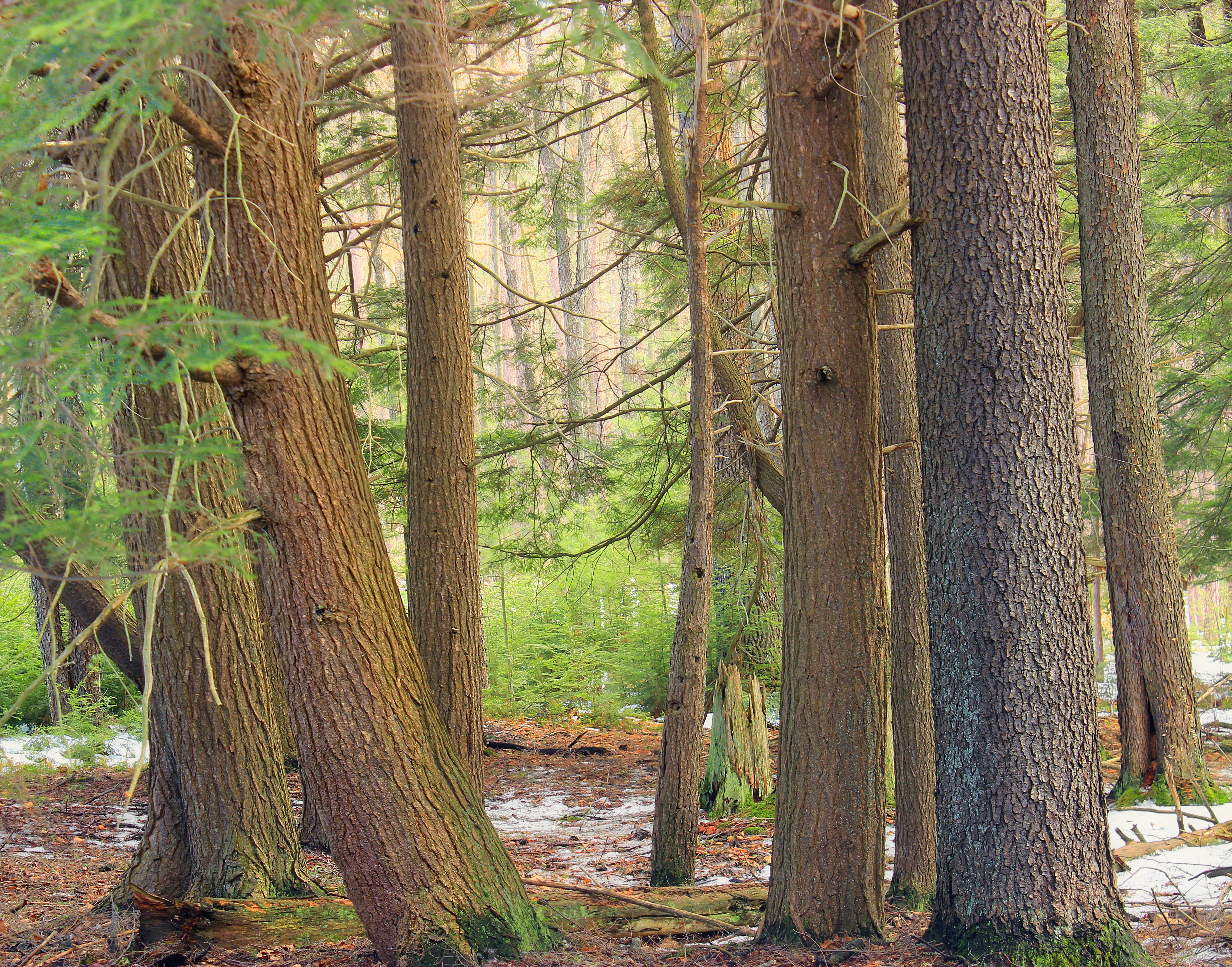
Bennett Branch Forest (3)
Bennett Branch Forest (2)
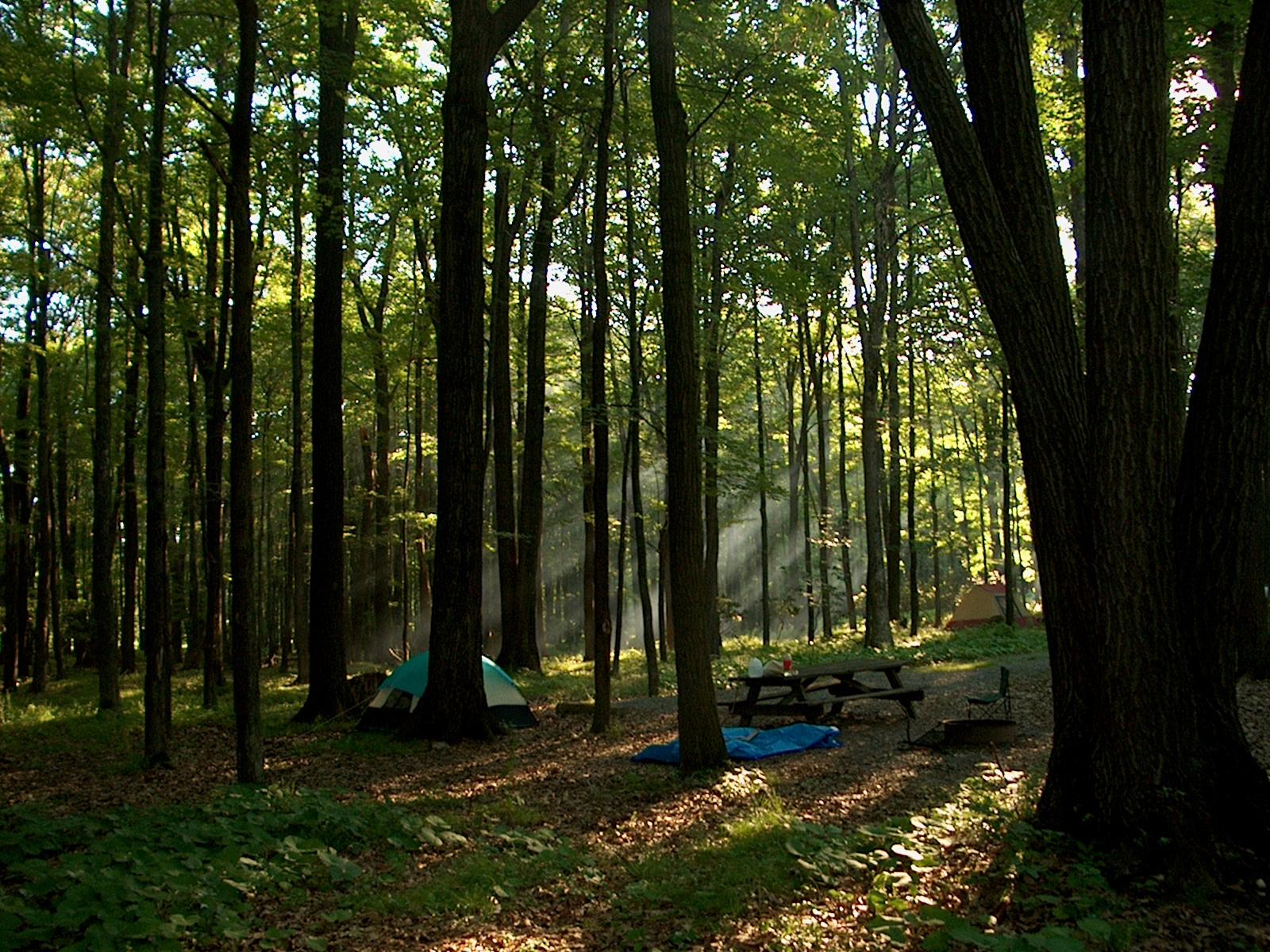
Beaver Dam Trail (8)
ph-10660
Beaver Dam Trail (2)
Beaver Dam Trail (4)
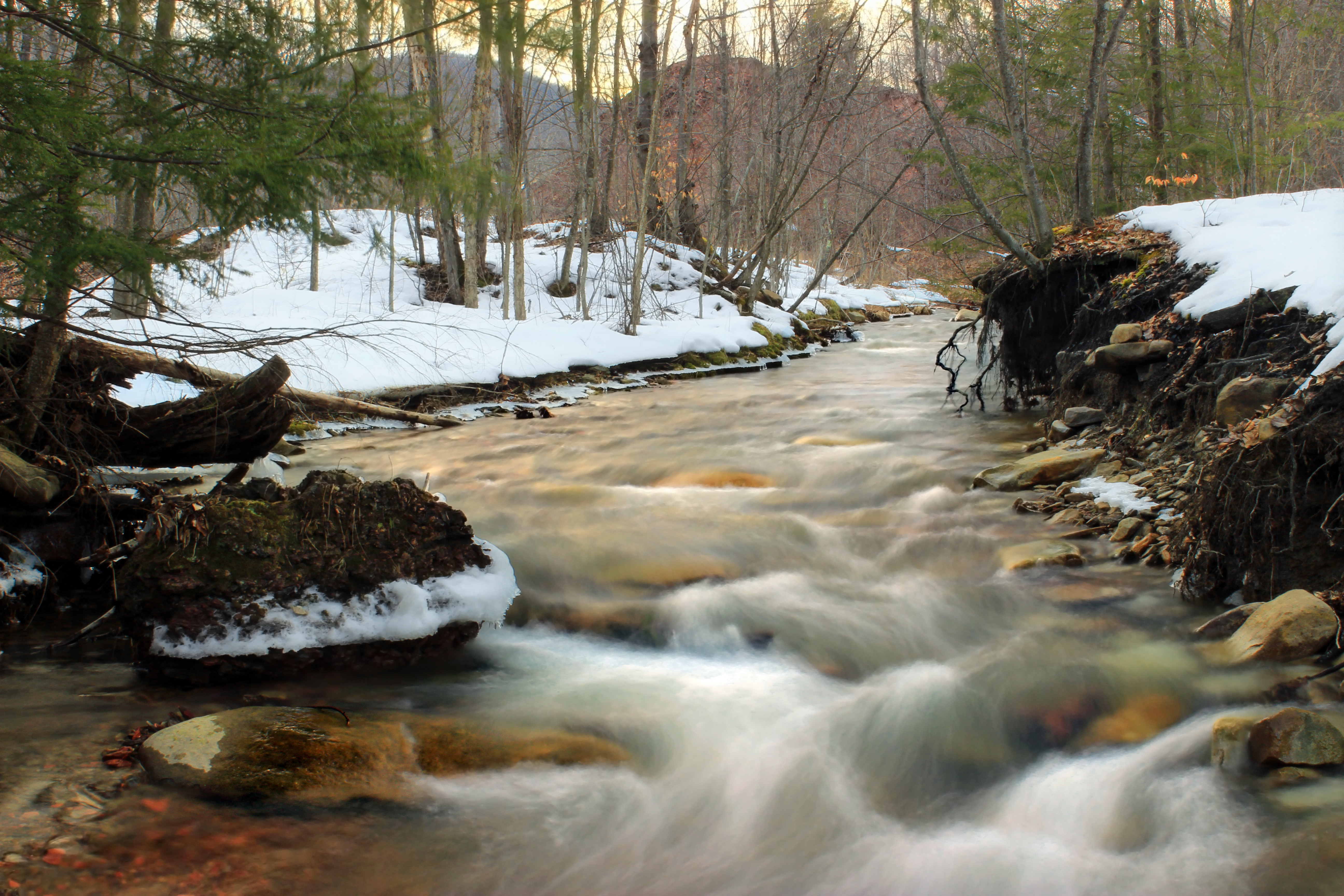
Snowmelt (1)
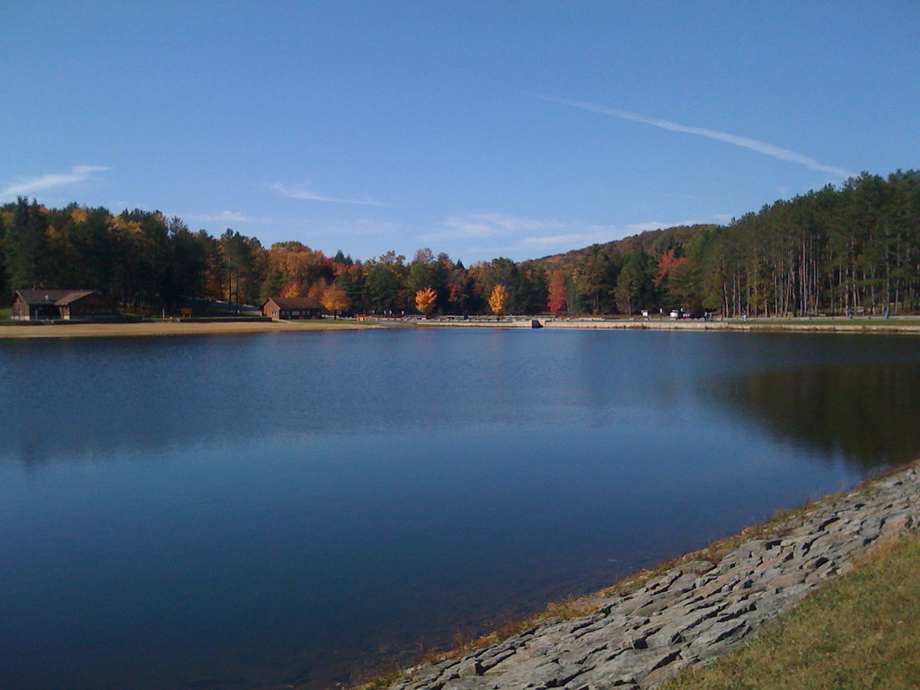
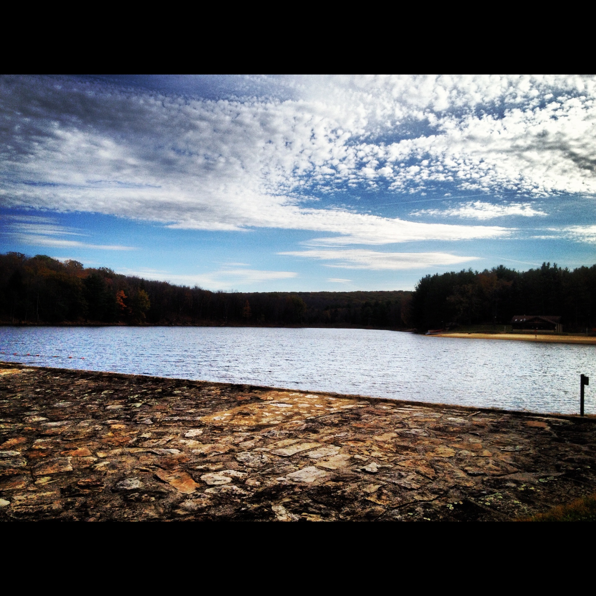
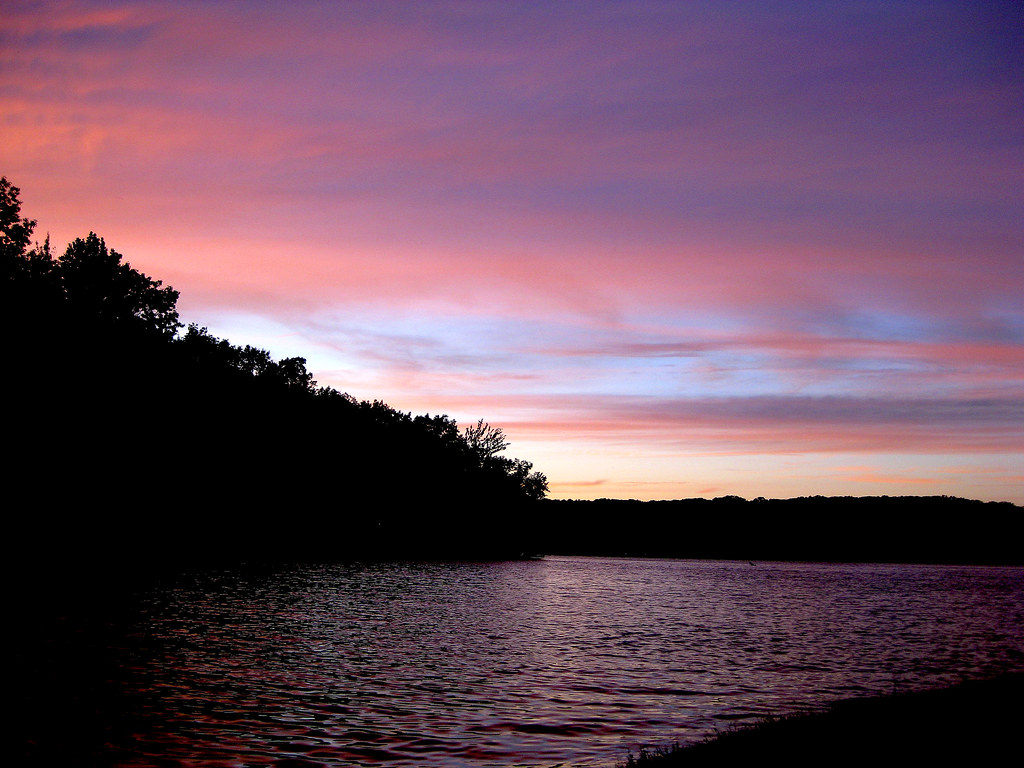
Parker Dam Lake
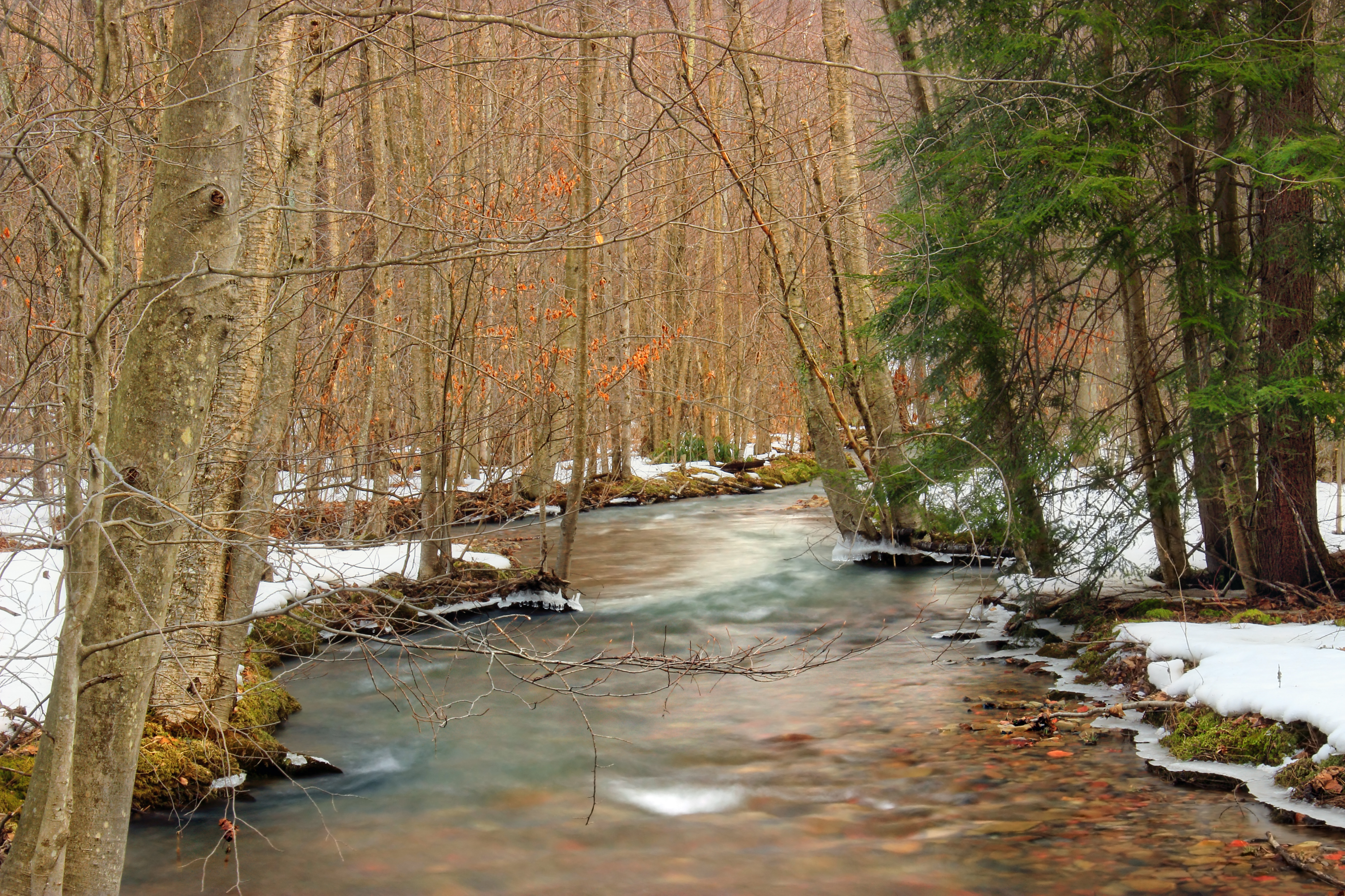
Snowmelt (2)
Beaver Dam Trail (1)
13/365: Waiting for Fireworks
ph-10661
Beaver Dam Trail (5)
Beaver Dam Trail (7)
Sauder Trail at Parker Dam

Photo 100 020
20151019-155834-2
DSC_7437.JPG
Topographic Map of Huston Township, PA, USA
Find elevation by address:

Places in Huston Township, PA, USA:
Places near Huston Township, PA, USA:
Penfield
Mt Pleasant Rd, Penfield, PA, USA
76 Ontario St, Penfield, PA, USA
Bennetts Valley Hwy, Penfield, PA, USA
Anderson Creek Rd, Penfield, PA, USA
Rattlesnake Hill
75 Sunflower Rd
River Rd, Byrnedale, PA, USA
Byrnedale
Weedville
Bennetts Valley Hwy, Byrnedale, PA, USA
95 Pier Ct
2977 Bay Rd
Silverwoods And Wolf Run Manor At Treasure Lake
Treasure Lake
Hastings Rd, DuBois, PA, USA
40 Little Inagua Ct
13115 Treasure Lake Rd
Brockport
Rattlesnake Road
Recent Searches:
- Elevation of Congressional Dr, Stevensville, MD, USA
- Elevation of Bellview Rd, McLean, VA, USA
- Elevation of Stage Island Rd, Chatham, MA, USA
- Elevation of Shibuya Scramble Crossing, 21 Udagawacho, Shibuya City, Tokyo -, Japan
- Elevation of Jadagoniai, Kaunas District Municipality, Lithuania
- Elevation of Pagonija rock, Kranto 7-oji g. 8"N, Kaunas, Lithuania
- Elevation of Co Rd 87, Jamestown, CO, USA
- Elevation of Tenjo, Cundinamarca, Colombia
- Elevation of Côte-des-Neiges, Montreal, QC H4A 3J6, Canada
- Elevation of Bobcat Dr, Helena, MT, USA