Elevation of Coalport, PA, USA
Location: United States > Pennsylvania > Clearfield County >
Longitude: -78.534467
Latitude: 40.7478401
Elevation: -10000m / -32808feet
Barometric Pressure: 295KPa
Elevation Map:
Satellite Map:
Related Photos:

{beach scenes} my view.

20090705-K10D-8540_2000px

Glasgow (panoramic) - May 1976

view from the pew
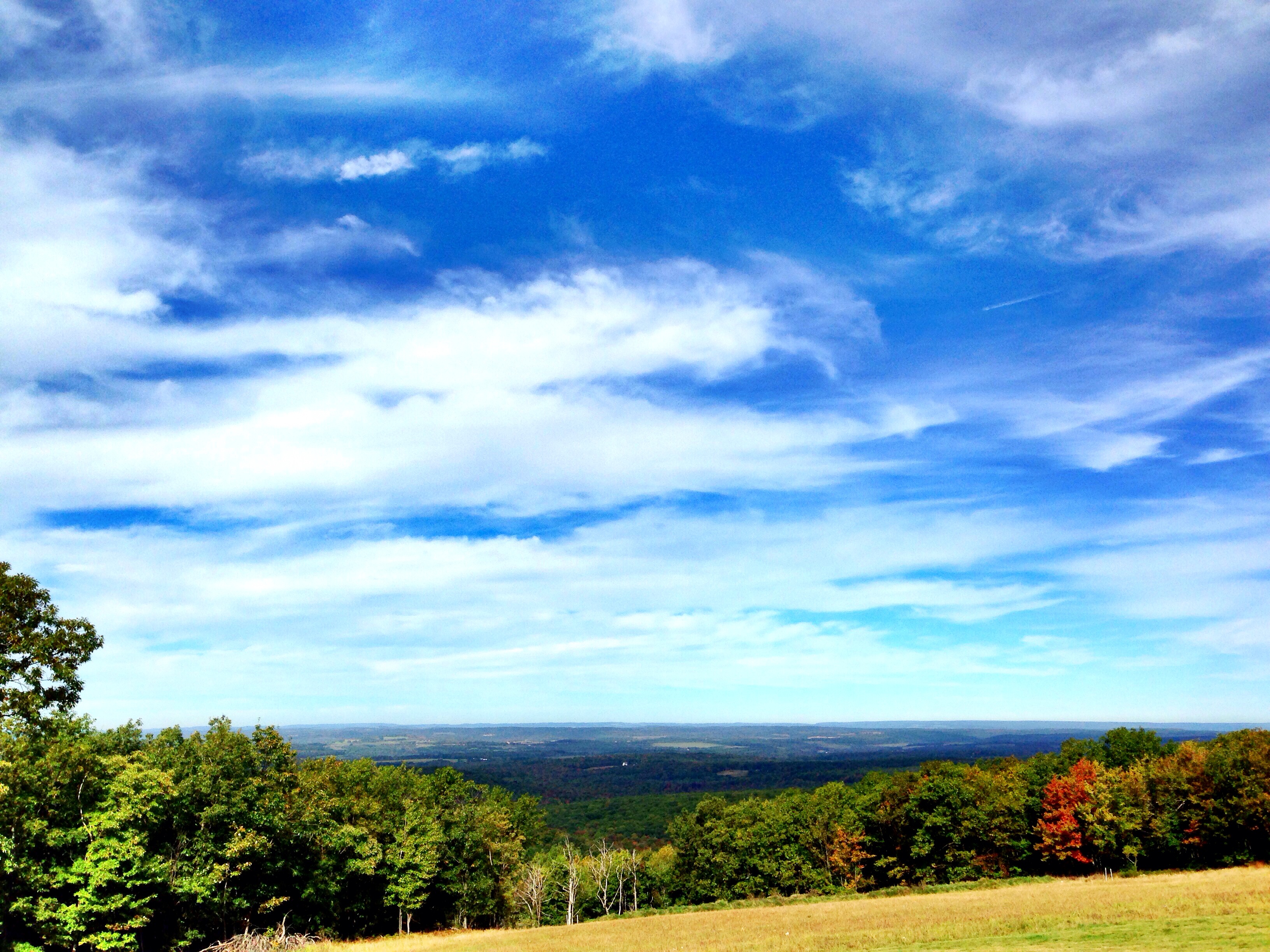
"Mountain top view"

View from the top.

Throwing a Stone
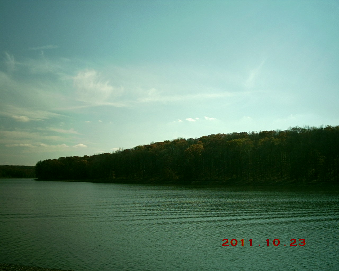
Glendale Lake, Prince Gallitzin State Park

Mud Lick Overlook

Prince Gallitzin Panorama 2

Glendale Lake, Prince Gallitzin State Park

IMG_1233.JPG

Prince Gallitzin State Park
Topographic Map of Coalport, PA, USA
Find elevation by address:

Places near Coalport, PA, USA:
21 Jackson St
Sr, Coalport, PA, USA
Flinton
Beccaria Township
155 Troxell Springs Rd
131 Lark Lane
Kibler Lake Road
Reade Township
Smithmill
890 Logging Rd 11135
Gulich Township
Rock Run Recreation Area
Westover
Westover
Westover
Westover
Westover
Westover
Westover
Michael Ln, La Jose, PA, USA
Recent Searches:
- Elevation of Bilohirs'k
- Elevation of 30 Oak Lawn Dr, Barkhamsted, CT, USA
- Elevation of Luther Road, Luther Rd, Auburn, CA, USA
- Elevation of Unnamed Road, Respublika Severnaya Osetiya — Alaniya, Russia
- Elevation of Verkhny Fiagdon, North Ossetia–Alania Republic, Russia
- Elevation of F. Viola Hiway, San Rafael, Bulacan, Philippines
- Elevation of Herbage Dr, Gulfport, MS, USA
- Elevation of Lilac Cir, Haldimand, ON N3W 2G9, Canada
- Elevation of Harrod Branch Road, Harrod Branch Rd, Kentucky, USA
- Elevation of Wyndham Grand Barbados Sam Lords Castle All Inclusive Resort, End of Belair Road, Long Bay, Bridgetown Barbados