Elevation of Windy Hill Rd, Curwensville, PA, USA
Location: United States > Pennsylvania > Clearfield County > Curwensville >
Longitude: -78.577686
Latitude: 40.955664
Elevation: 494m / 1621feet
Barometric Pressure: 96KPa
Elevation Map:
Satellite Map:
Related Photos:

Ah the view up the hill. Morning from the farm
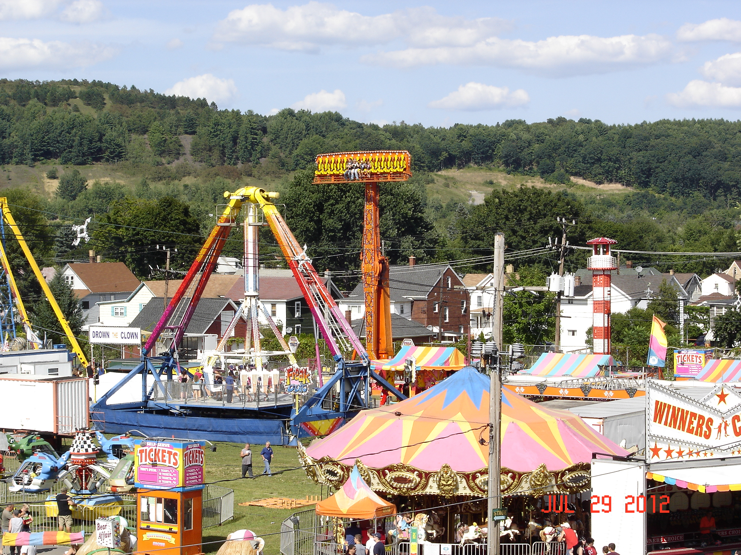
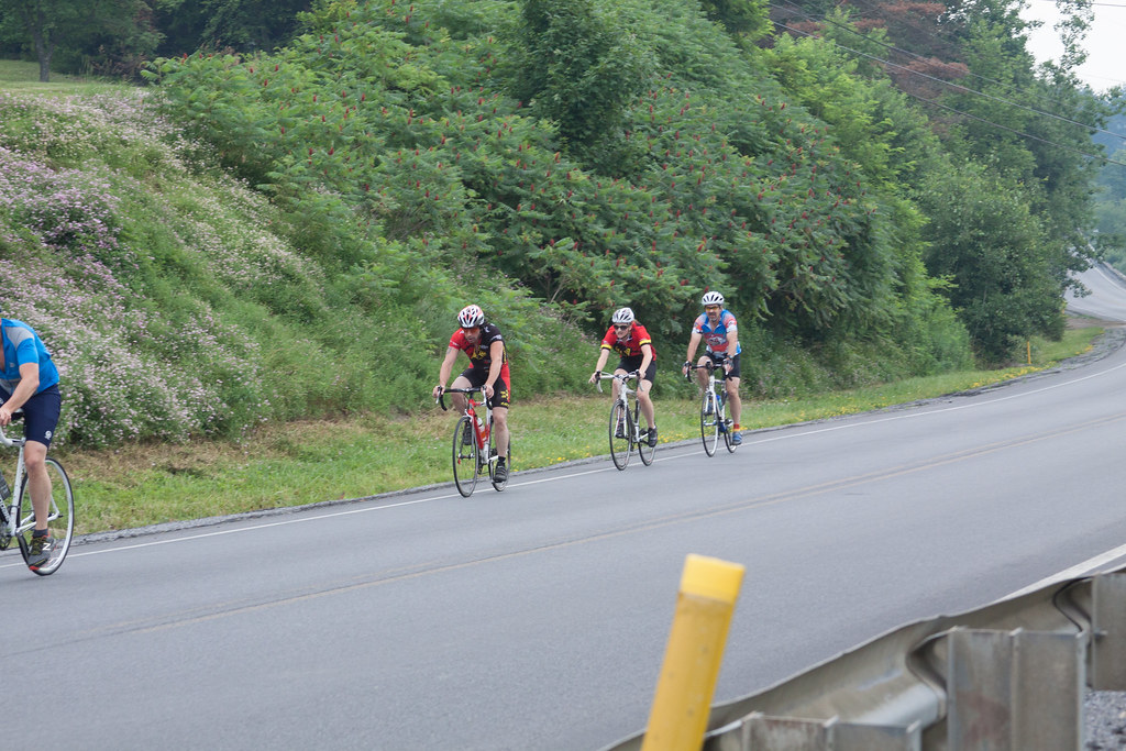
2012 Clearfield County Fair
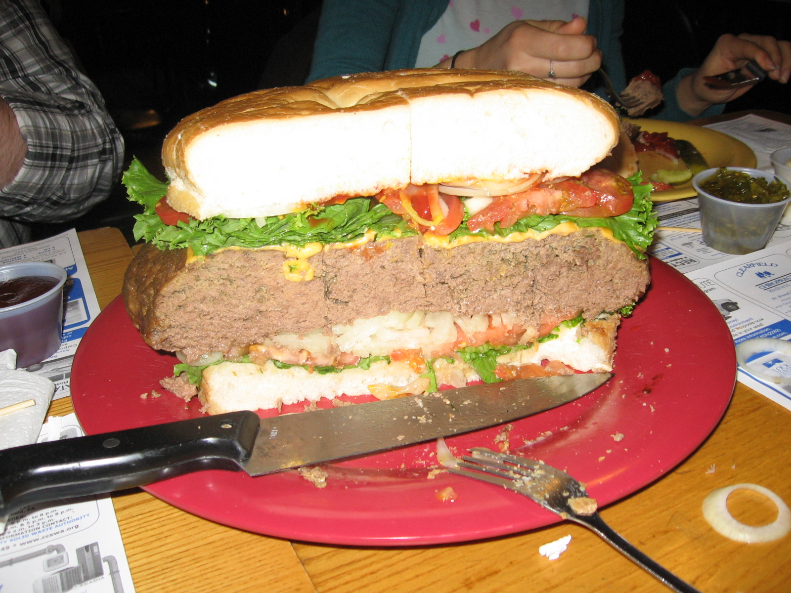
Cross-section View
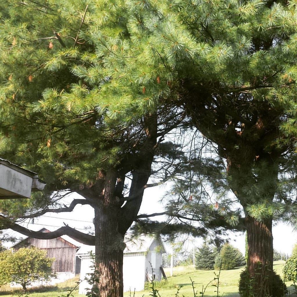
View from my bedroom
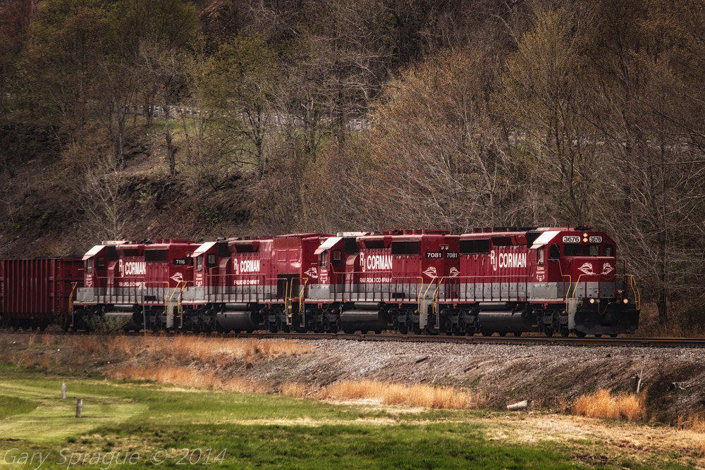
R.J. Corman Railroad
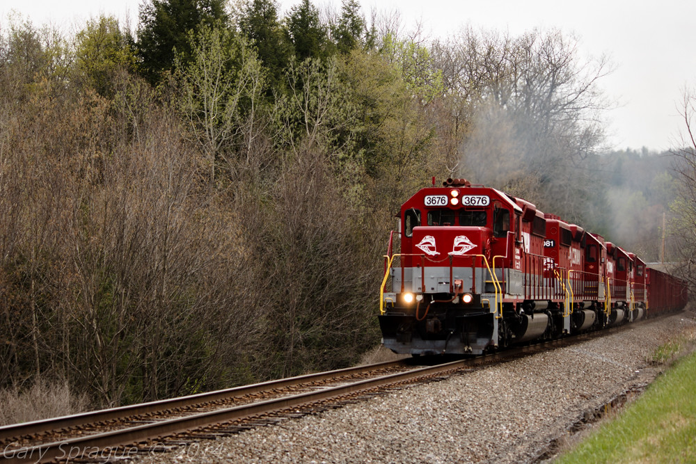
R.J. Corman Railroad
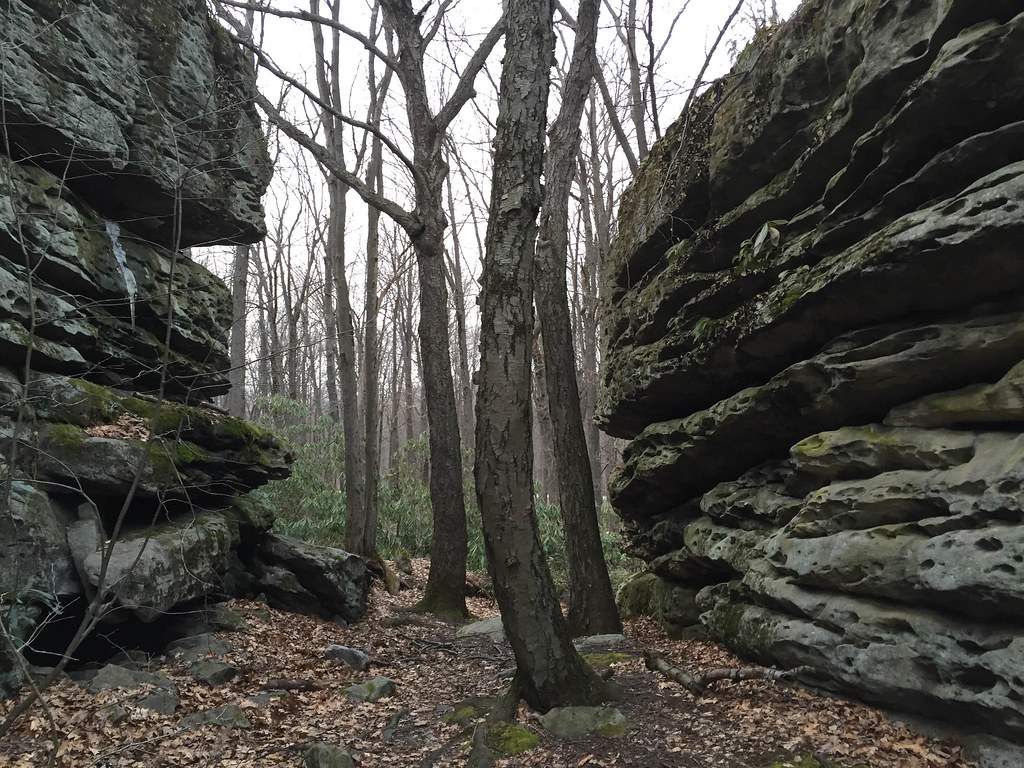
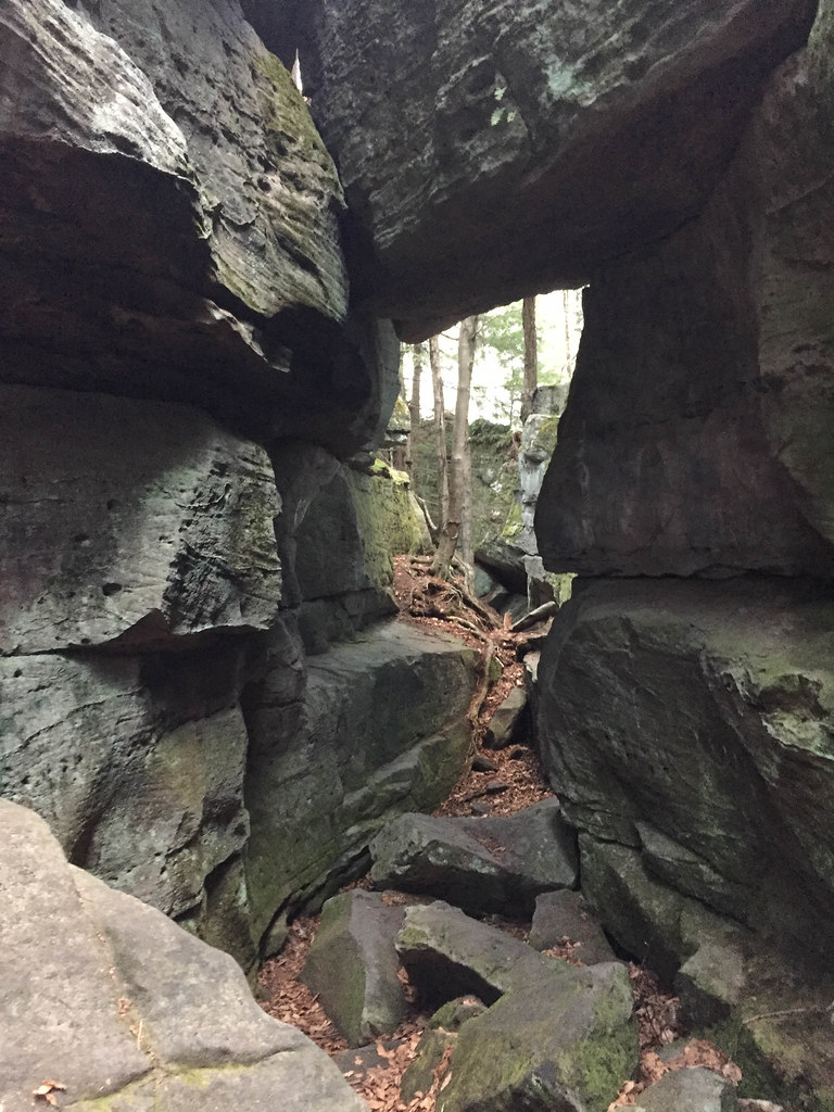
Panther Rocks
First Day of Trout Weekend 04-17-09 thru 04-19-09 038
Panther Rocks
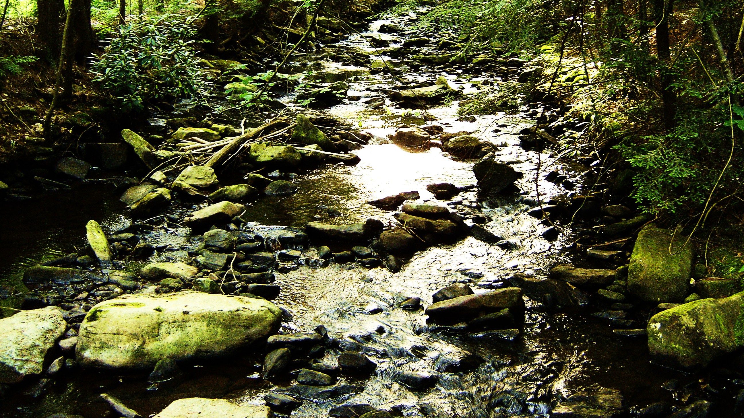
Natural Beauty
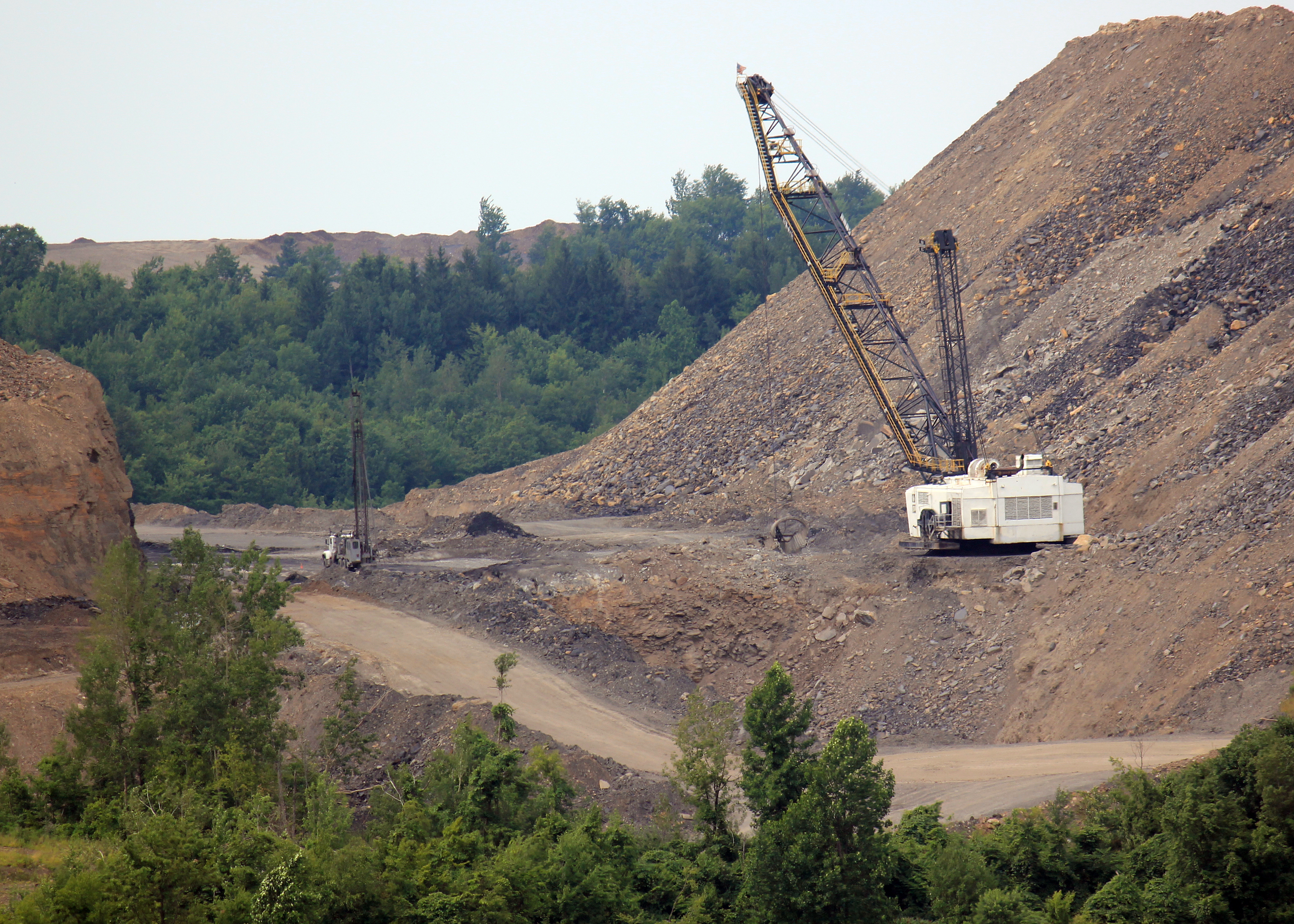
Topsoil? This IS topsoil !!!
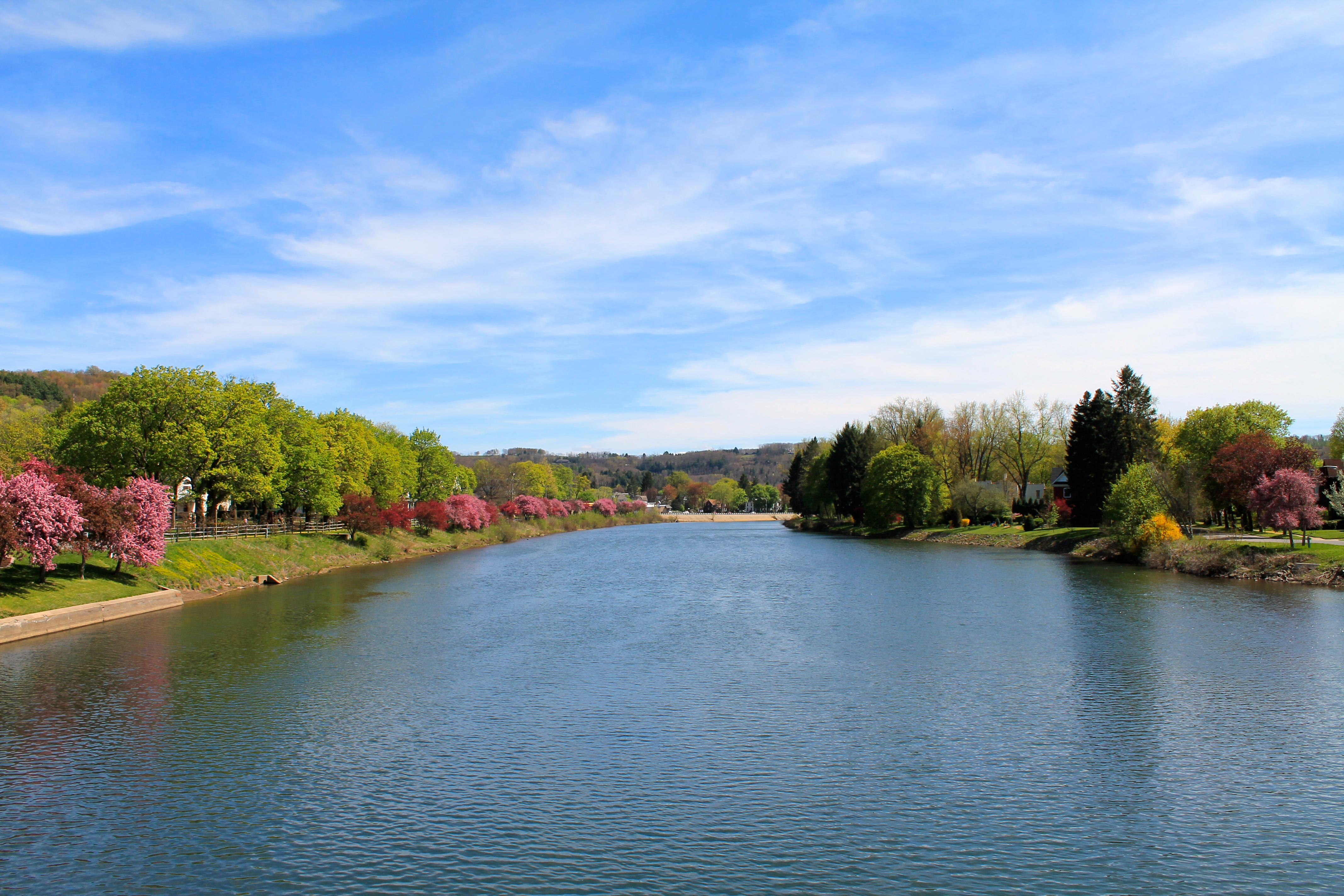
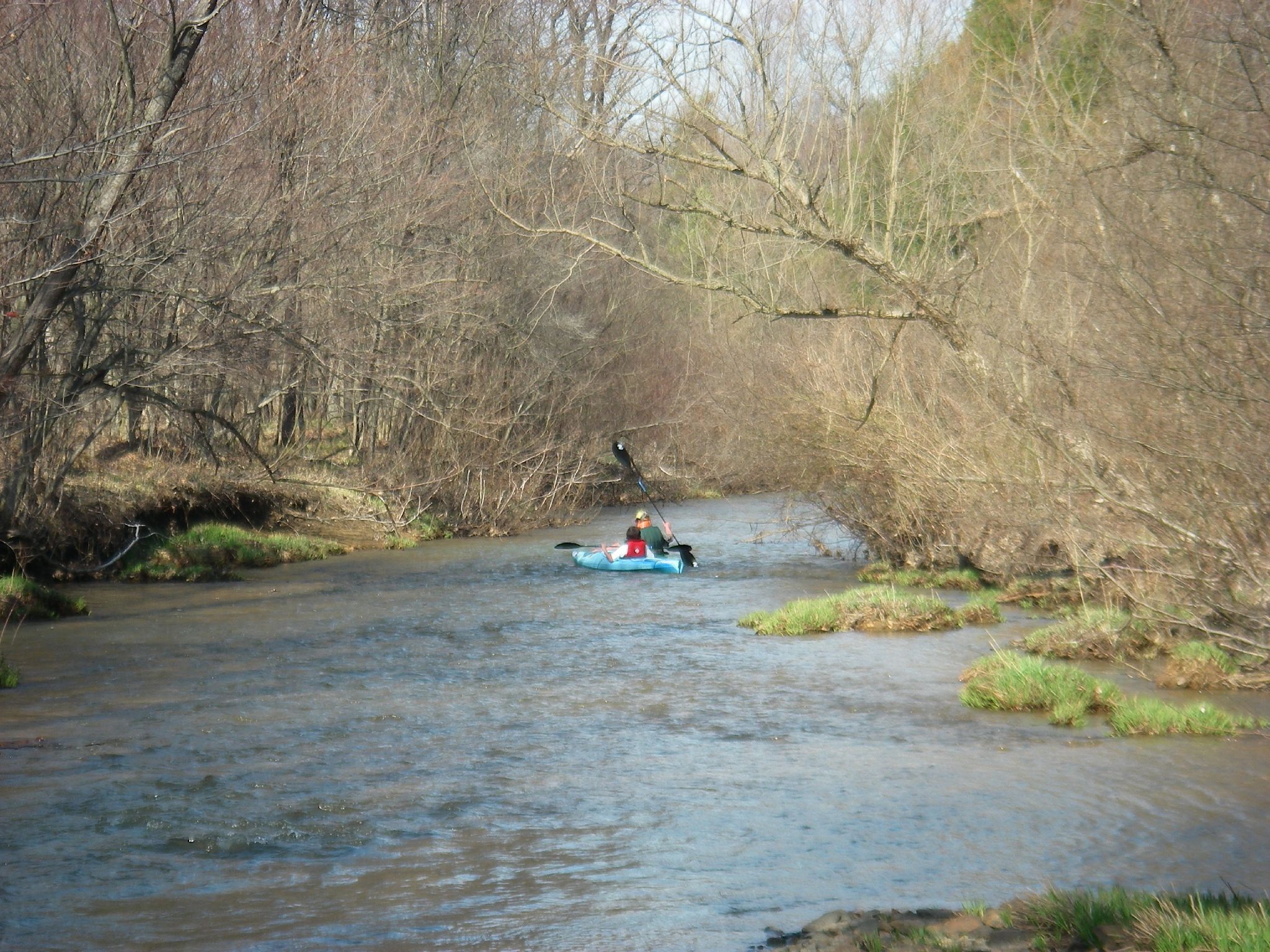
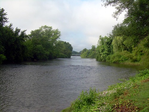
West Branch Susquehanna River, looking upstream - Clearfield, PA
Looking up the ridge by KAO
eliott-7
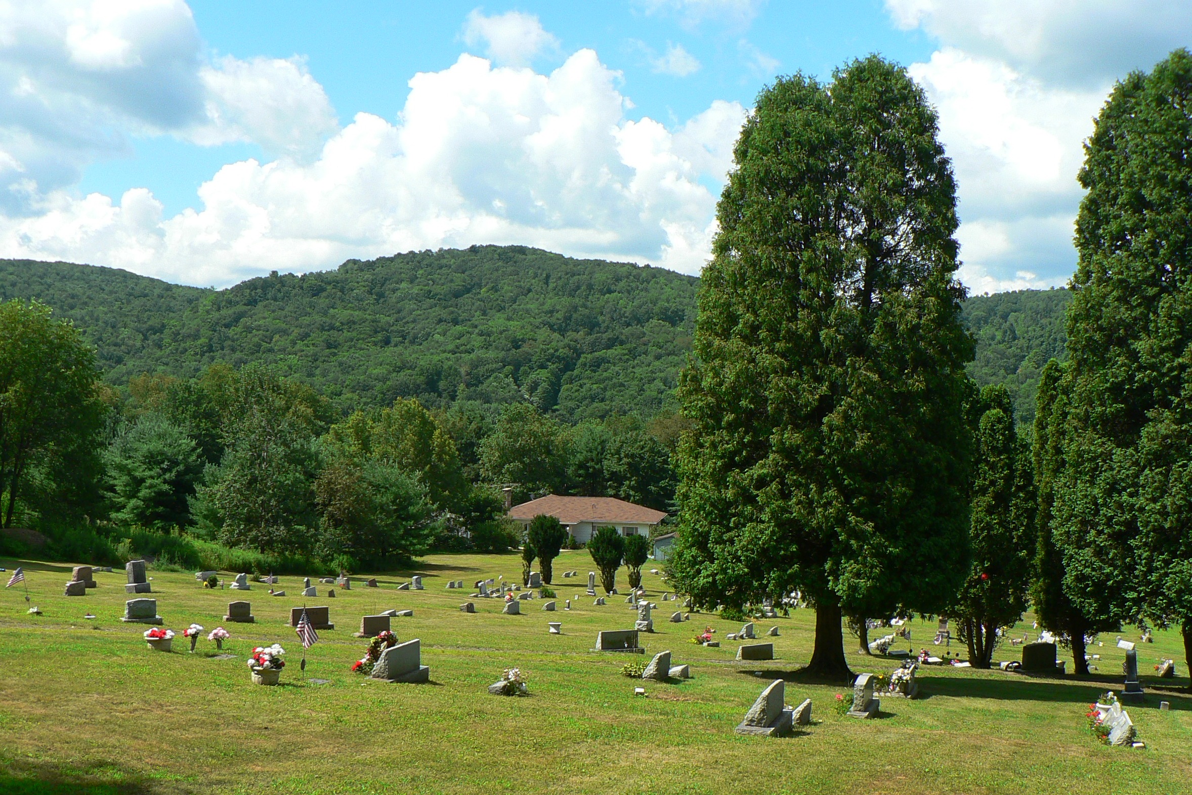
mahaffey graveyard
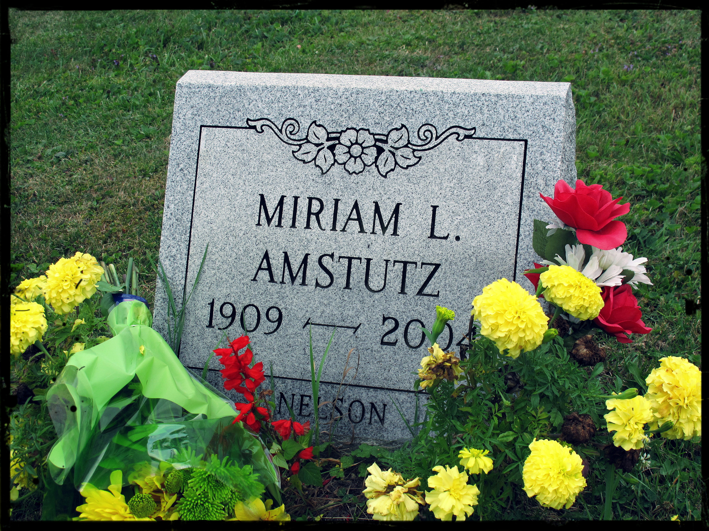
Miriam L. Amstutz (1909–2004)
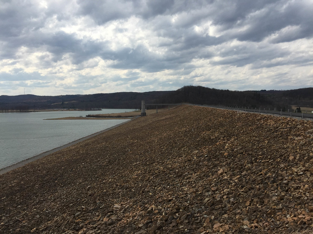
Curwensville Dam
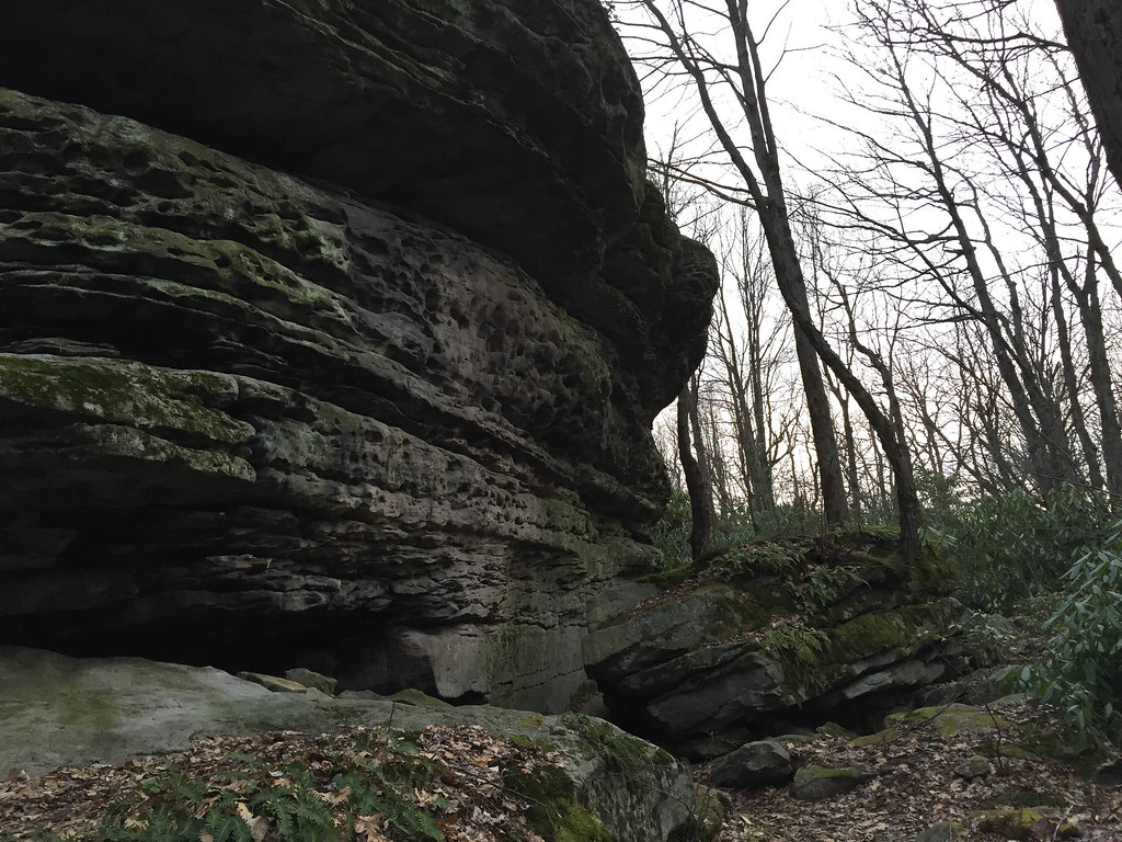
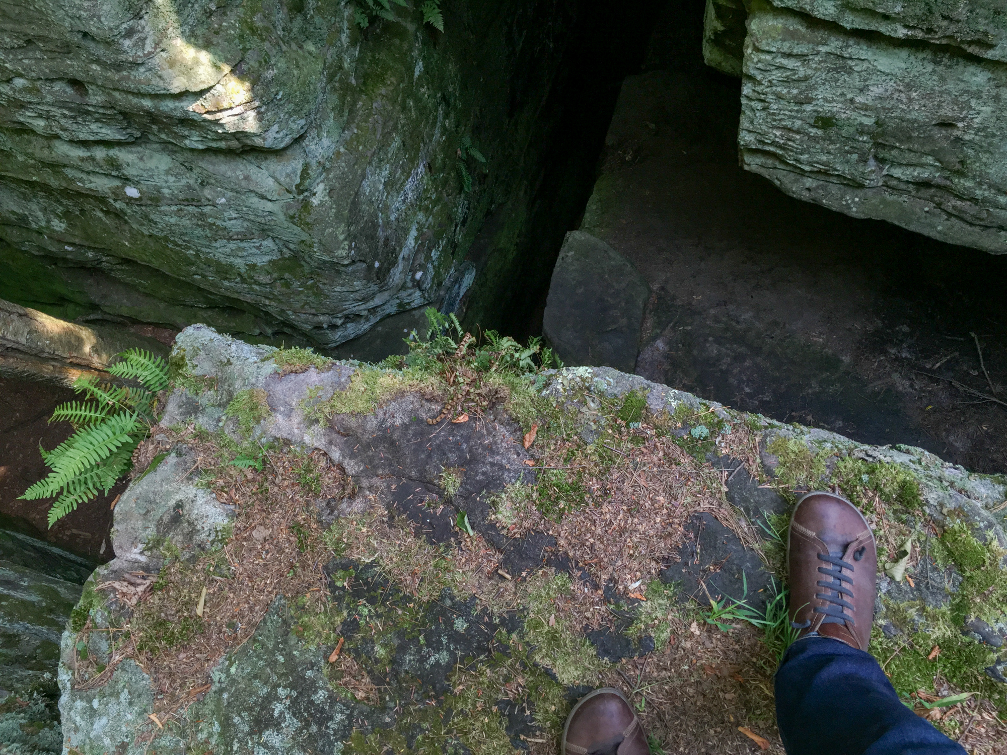
Bilger's Rocks
IMG_7347.jpg
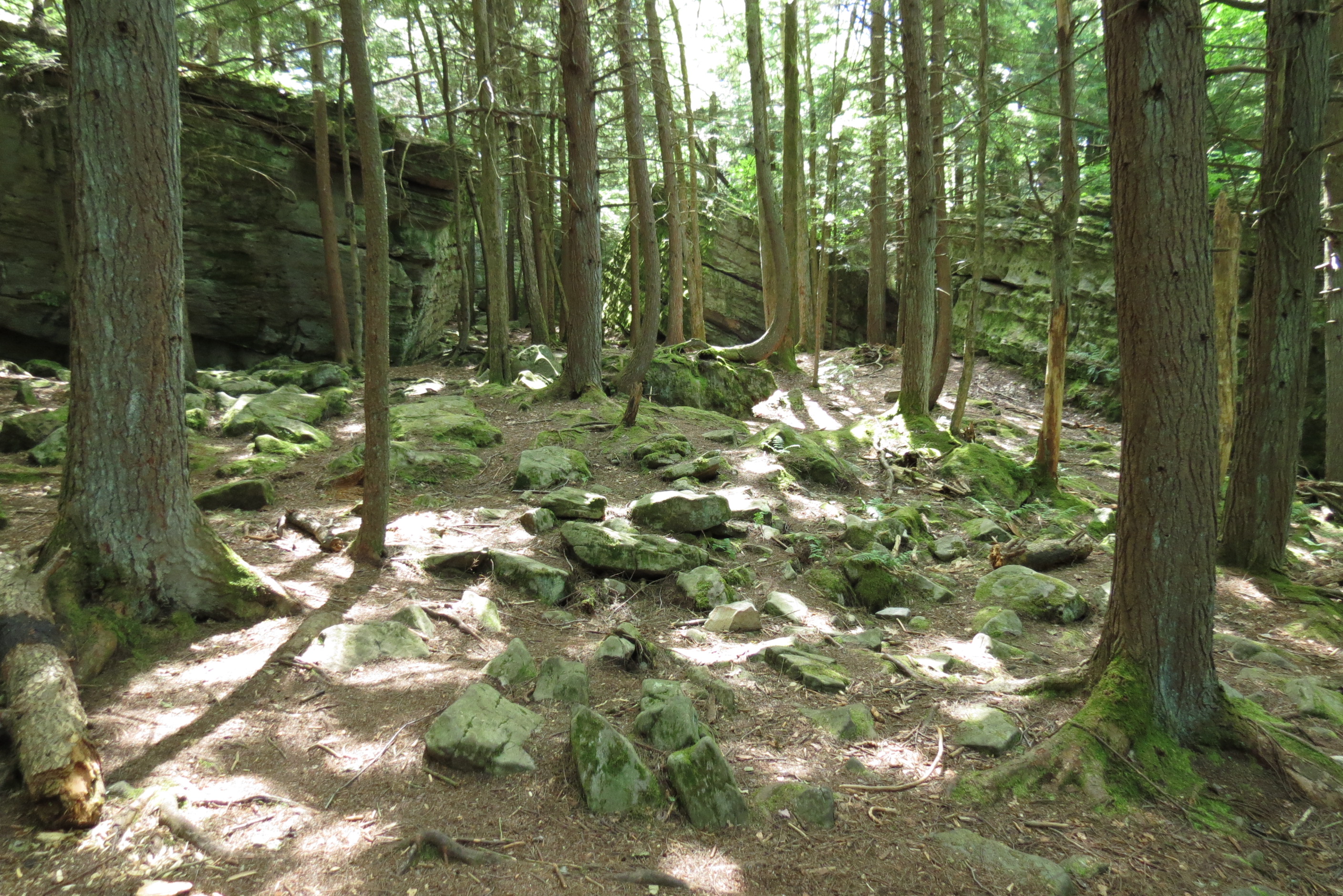
Bilger's Rocks -- Clearfield County, PA
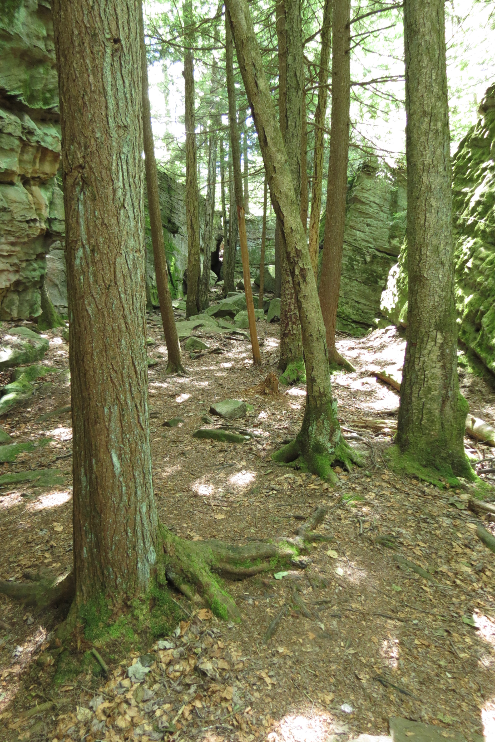
Bilger's Rocks -- Clearfield County, PA
IMG_9220.jpg
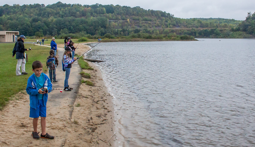
Annual Conservation Celebration 2015
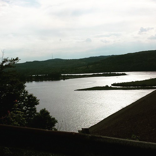
#curwensvillelake as seen from #pa453sb #memorialday
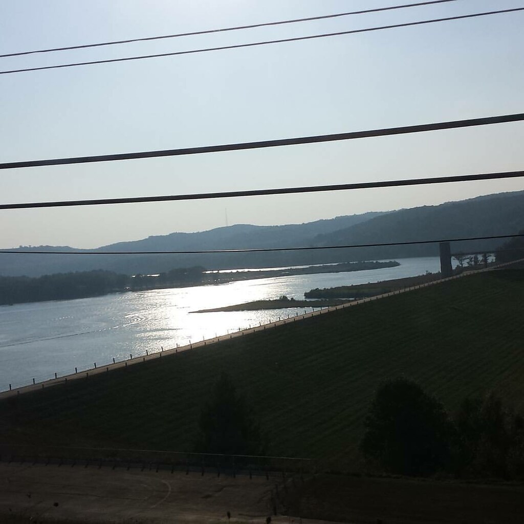
Bye #curwensvillelake
Topographic Map of Windy Hill Rd, Curwensville, PA, USA
Find elevation by address:

Places near Windy Hill Rd, Curwensville, PA, USA:
Clearfield County
80 Kirk St, Curwensville, PA, USA
Lumber City
1818 Mcfadden Rd
165 Shannon Heights Rd
New Millport
Olanta
Olanta Road
Mahaffey Grampian Hwy, Mahaffey, PA, USA
Church Rd, Curwensville, PA, USA
Greenwood Township
Marron Rd, Curwensville, PA, USA
Tyrone Pike, Irvona, PA, USA
Knox Township
Camp Corbly Rd, Mahaffey, PA, USA
Jordan Township
2977 Douglas Rd
Oak Ridge Rd, Madera, PA, USA
Curwensville Tyrone Hwy, Olanta, PA, USA
Hammer Rd, Curwensville, PA, USA
Recent Searches:
- Elevation of Lampiasi St, Sarasota, FL, USA
- Elevation of Elwyn Dr, Roanoke Rapids, NC, USA
- Elevation of Congressional Dr, Stevensville, MD, USA
- Elevation of Bellview Rd, McLean, VA, USA
- Elevation of Stage Island Rd, Chatham, MA, USA
- Elevation of Shibuya Scramble Crossing, 21 Udagawacho, Shibuya City, Tokyo -, Japan
- Elevation of Jadagoniai, Kaunas District Municipality, Lithuania
- Elevation of Pagonija rock, Kranto 7-oji g. 8"N, Kaunas, Lithuania
- Elevation of Co Rd 87, Jamestown, CO, USA
- Elevation of Tenjo, Cundinamarca, Colombia