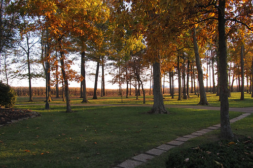
Elevation of Church St, Washington Court House, OH, USA

Location: United States > Ohio > Fayette County >

Longitude: -83.612853

Latitude: 39.604438

Elevation: 318m / 1043feet

Barometric Pressure: 98KPa

Elevation Map:

elevation map of Church St, Washington Court House, OH, USA

Satellite Map:

Satellite map of Church St, Washington Court House, OH, USA

Related Photos:

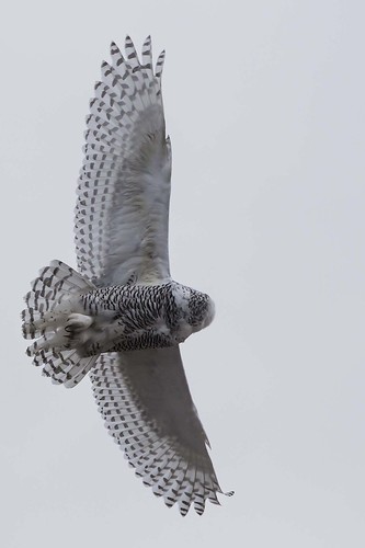
ohio immature snowyowl fayettecounty buboscandiacus washingtoncourthouse
SNOWY OWL
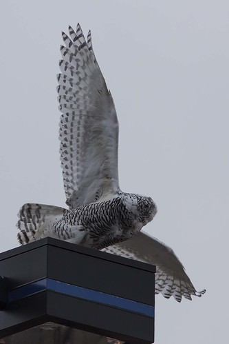
ohio snowyowl fayettecounty buboscandiacus washingtoncourthouse
SNOWY OWL
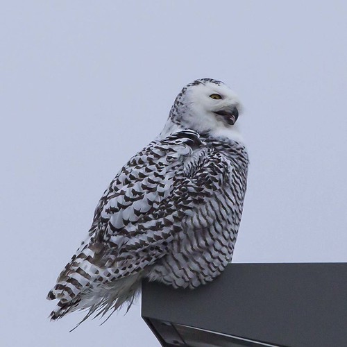
ohio snowyowl fayettecounty buboscandiacus washingtoncourthouse
SNOWY OWL
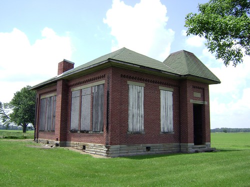
county school ohio house brick abandoned rural one decay clinton room forgotten bloomington schoolhouse woodside 1913
Bloomington, Ohio- Woodside Schoolhouse
ohio immature snowyowl fayettecounty buboscandiacus washingtoncourthouse
SNOWY OWL
winter icy wrecks i71
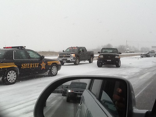
Five Miles Per Hour
ohio monument cemetery army memorial military wwi worldwari cannon artillery oh bethpage sabina warmemorial 1917 bethlehemsteel 37mm artillerypiece sabinacemetery markamodeli
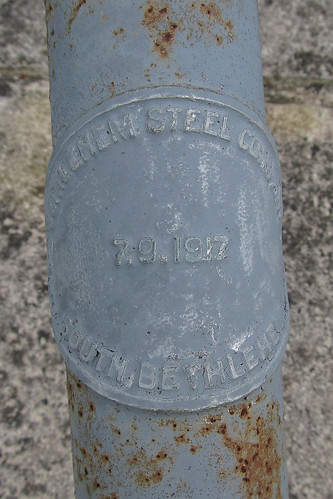
37mm Mark A, Model I No.???? in Sabina
park camera old railroad travel ohio house black color history tourism metal digital america train canon court photography photo washington big flickr technology display events engine machine rusty saturday railway landmark science powershot steam adventure transportation co locomotive chesapeake hdr cliche hs k4 kanawha 284 eyman sx40 844steamtrain
Chesapeake and Ohio 2776 Steam Locomotive
county ohio house abandoned farmhouse rural decay farm forgotten fayette milledgeville
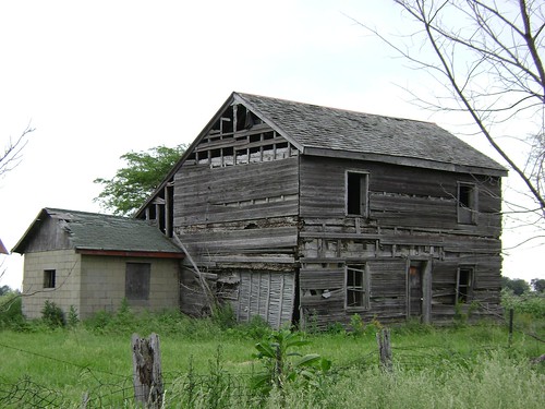
Milledgeville, Ohio
county ohio house abandoned farmhouse rural wooden decay farm forgotten greene bowersville
Bowersville, Ohio
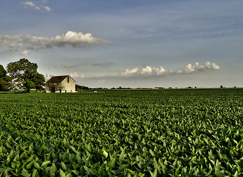
ohio sky field clouds corn grow bean crops agriculture flickrcentral hdr abigfave esmithiii esmithiii2003
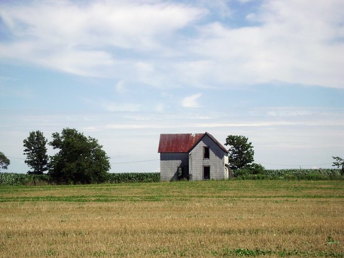
The Barn and field-HDR
sunset ohio clouds farm farmland rays dailyville ohiofoothills binglandfarms
day is done
ohio field corn unitedstates oh greene jamestown greenecounty apt12 grapegrove paullinrdgrapegroveohiounitedstates
Corn Field
square squareformat amaro iphoneography instagramapp uploaded:by=instagram
Driving home after fun day at Kings Island. Corn corn and more corn #Ohio #country #evening #vacation #funday #kingsisland
winter sun weather farm cincinnati cincy cincinnatiweather
Sun Over Farm
tree field alone farm lonely
Tree along I-71
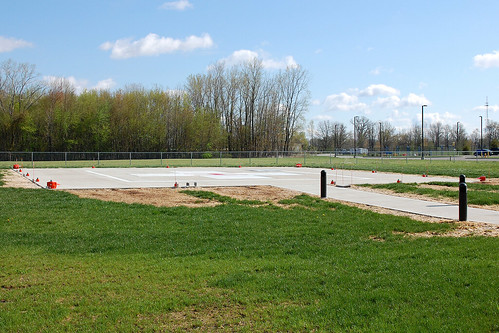
ohio hospital flying aviation flight medical helicopter oh helicopters jamestown smalltown helipad heliport medevac helipads smalltownohio heliports hospitalheliport emergencyheliport ohioheliports miamivalleyjamestownemergencycenterheliport ohioheliport
Miami Valley Jamestown Emergency Center Heliport
jcbsixs
Ohio before you.
railroad b ohio house rural farm elevator grain indiana railway caboose io springfield local gw wsh dti emd sd402 railfanning gp50 iory
EMD IORY Glint
road travel trees sunset ohio plants tree landscape drive evening highway driving sunsets oh interstate traveling roadside restarea i71 jeffersonville interstate71 i71n i71north
Rest Area