Elevation of Interstate 71, I-71, United States
Location: United States > Ohio > Fayette County > Washington Court House >
Longitude: -83.507952
Latitude: 39.6680166
Elevation: 314m / 1030feet
Barometric Pressure: 98KPa
Elevation Map:
Satellite Map:
Related Photos:
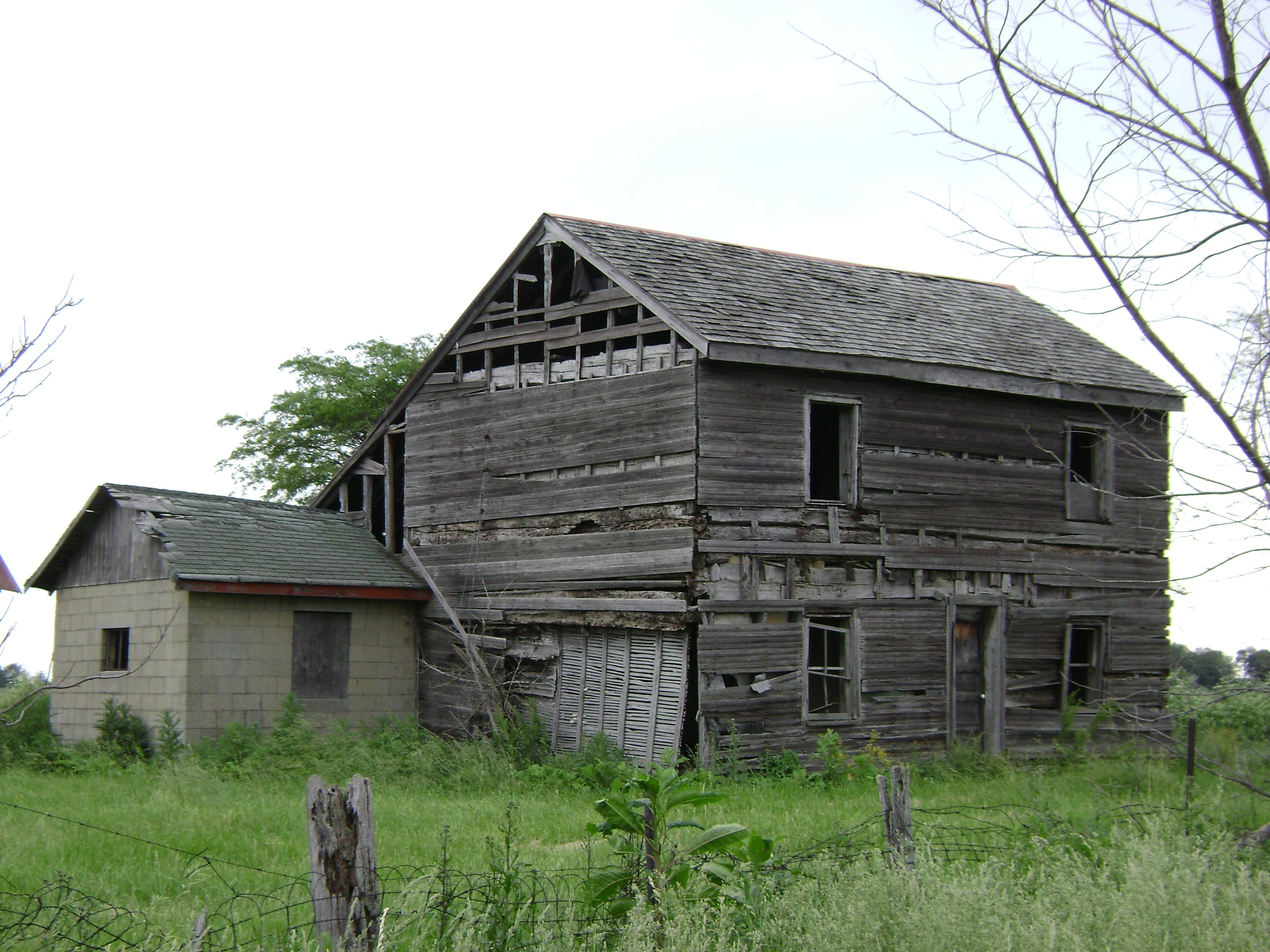
Milledgeville, Ohio
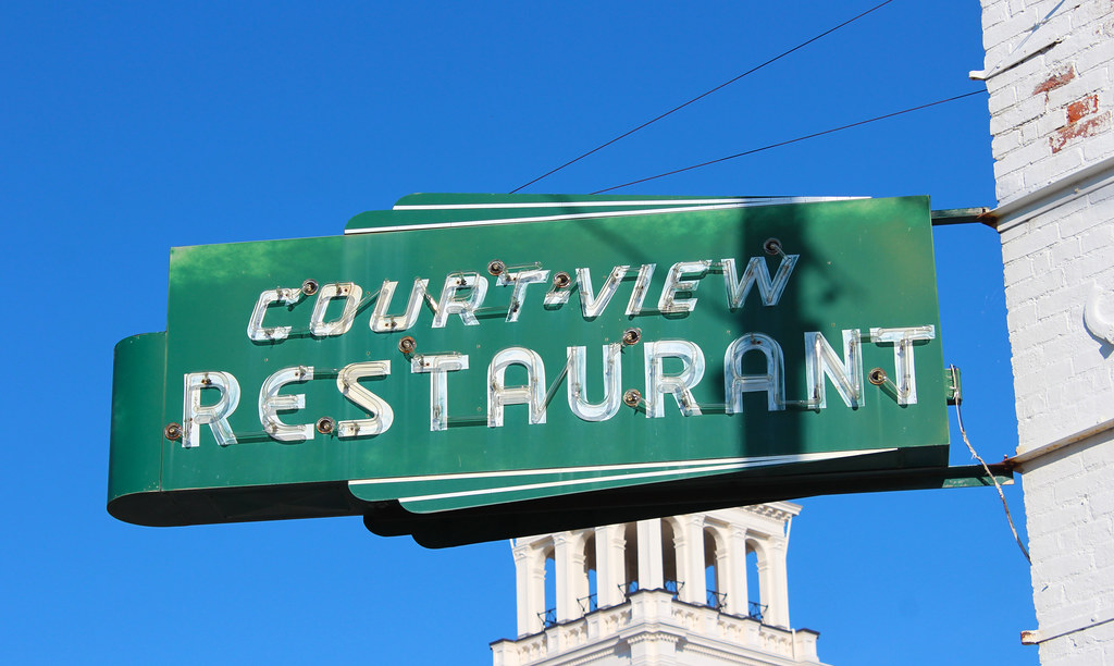
Court-View Restaurant

Five Miles Per Hour

EMD IORY Glint

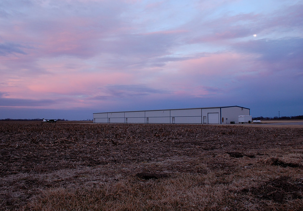
Rural Sunset

Little Bird, Big Sky
Corn about knee-high

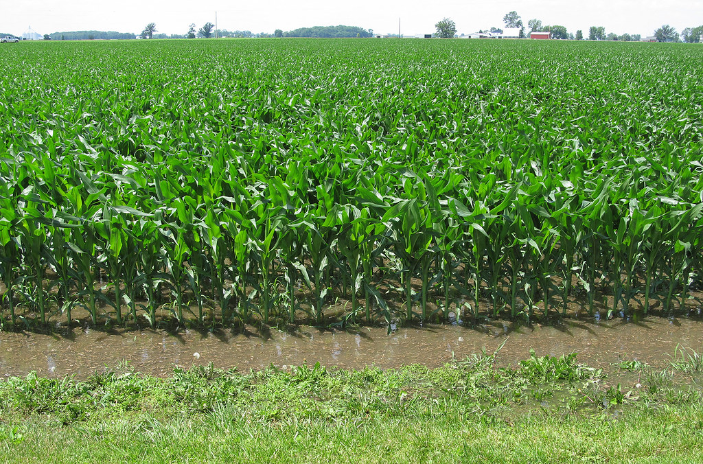
Corn Field
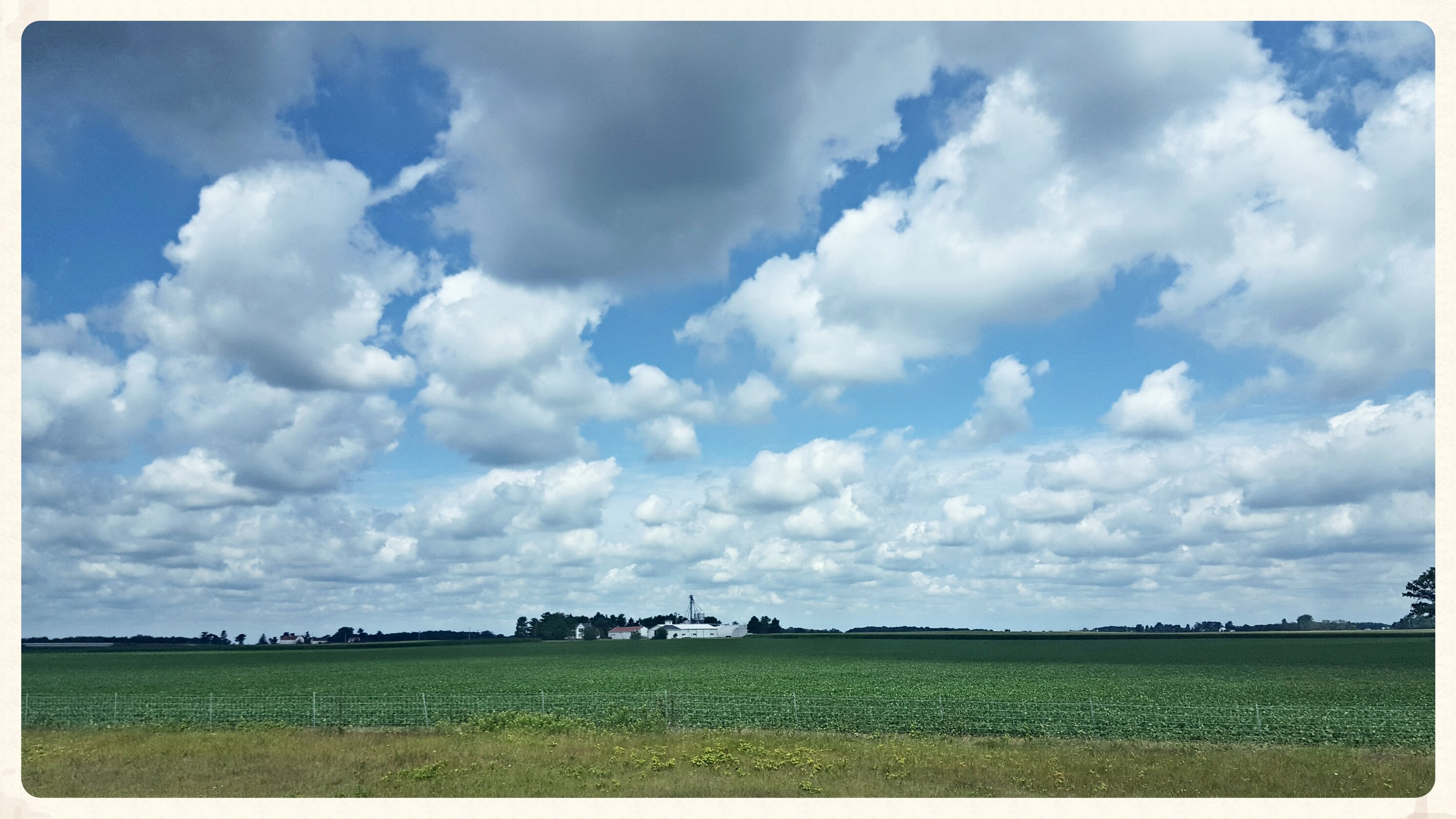
Open sky -Jeffersonville Ohio
2013-08-10 roadtrip day 1

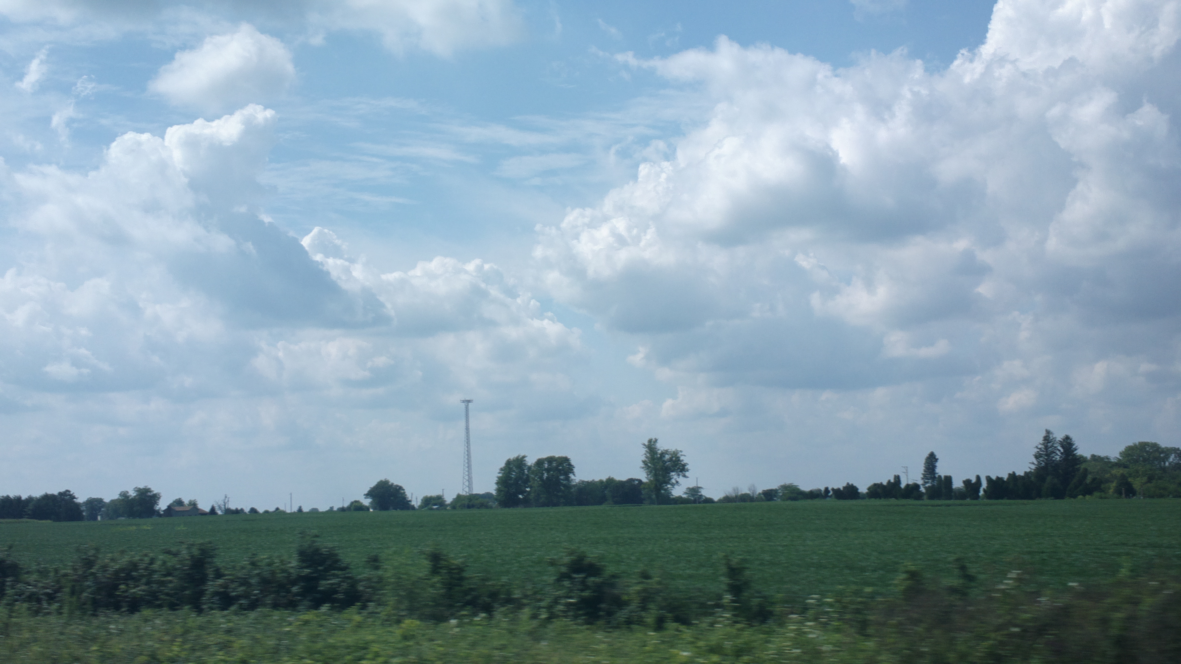
Tree along I-71
Little Bird, Big Sky

Rest Area
Topographic Map of Interstate 71, I-71, United States
Find elevation by address:

Places near Interstate 71, I-71, United States:
Jeffersonville
Midway
60 Federal St, Midway, OH, USA
Fayette County
Old U.S. 35, Washington Court House, OH, USA
3800 State Rte 41
Ohio 729
Milledgeville Post Office
Milledgeville
Main St NW, Milledgeville, OH, USA
Jasper Township
Church St, Washington Court House, OH, USA
Range Township
Union Township
Washington Court House
4677 Oh-729
500 S Elm St
15 Wagner Ct
Yankeetown-Chenoweth Rd, Mt Sterling, OH, USA
Harrison Rd, Mt Sterling, OH, USA
Recent Searches:
- Elevation of Elwyn Dr, Roanoke Rapids, NC, USA
- Elevation of Congressional Dr, Stevensville, MD, USA
- Elevation of Bellview Rd, McLean, VA, USA
- Elevation of Stage Island Rd, Chatham, MA, USA
- Elevation of Shibuya Scramble Crossing, 21 Udagawacho, Shibuya City, Tokyo -, Japan
- Elevation of Jadagoniai, Kaunas District Municipality, Lithuania
- Elevation of Pagonija rock, Kranto 7-oji g. 8"N, Kaunas, Lithuania
- Elevation of Co Rd 87, Jamestown, CO, USA
- Elevation of Tenjo, Cundinamarca, Colombia
- Elevation of Côte-des-Neiges, Montreal, QC H4A 3J6, Canada