Elevation of State Rte 41, Washington Court House, OH, USA
Location: United States > Ohio > Fayette County > Washington Court House >
Longitude: -83.475359
Latitude: 39.5774967
Elevation: 303m / 994feet
Barometric Pressure: 98KPa
Elevation Map:
Satellite Map:
Related Photos:

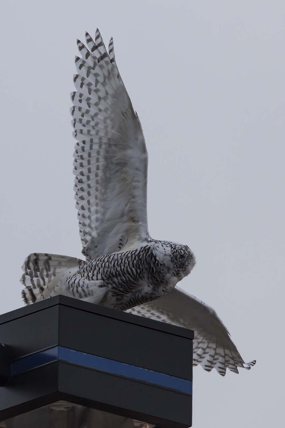
SNOWY OWL

Court-View Restaurant

SNOWY OWL

Milledgeville, Ohio

1883 Reconstructed Iron Bridge
SNOWY OWL

SNOWY OWL

Burnett Building — Washington Court House, Ohio

court-view restaurant

Five Miles Per Hour

Soldiers Row 3

Rest Area
Little Bird, Big Sky

Little Bird, Big Sky

Little Bird, Big Sky

Little Bird, Big Sky

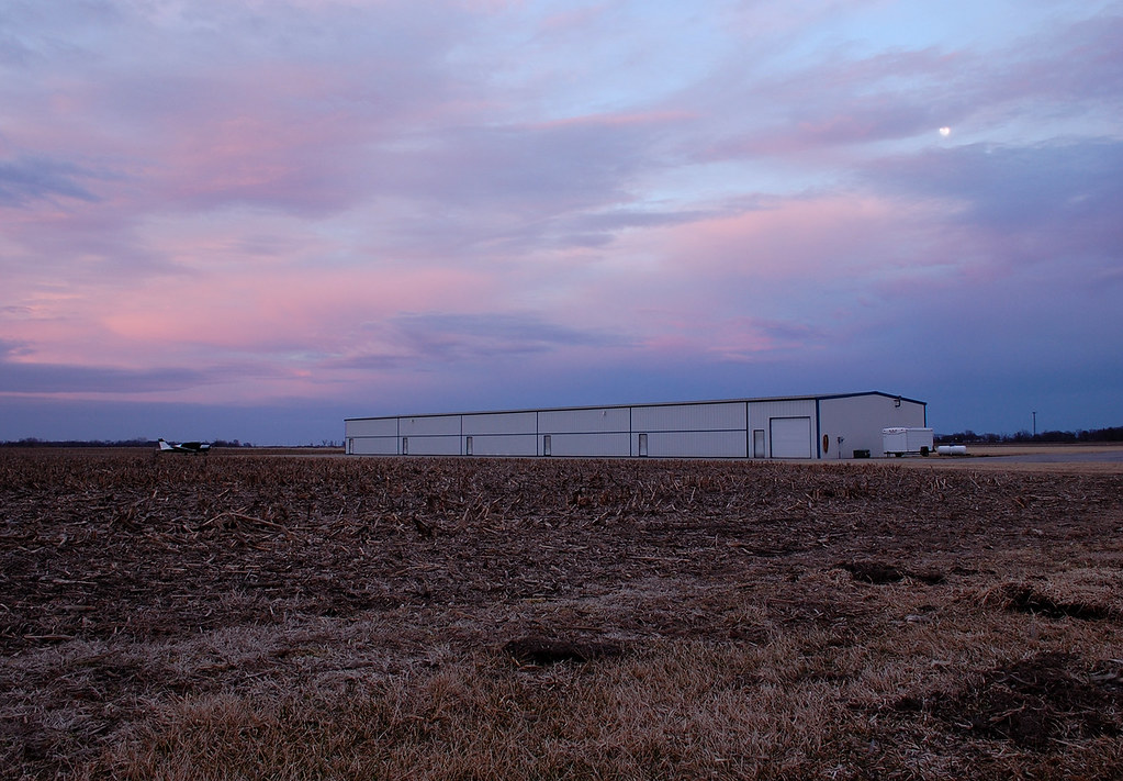
Rural Sunset

Corn about knee-high

I23 - Morning

I23 - Evening

Landscape — Wayne Township, Fayette County, Ohio

Open sky -Jeffersonville Ohio
Topographic Map of State Rte 41, Washington Court House, OH, USA
Find elevation by address:

Places near State Rte 41, Washington Court House, OH, USA:
Fayette County
Union Township
Old U.S. 35, Washington Court House, OH, USA
Washington Court House
15 Wagner Ct
500 S Elm St
Jasper Township
Interstate 71
Milledgeville
Main St NW, Milledgeville, OH, USA
Milledgeville Post Office
Ohio 729
Jeffersonville
4677 Oh-729
Church St, Washington Court House, OH, USA
US-22, New Holland, OH, USA
1730 Cline Rd
Harrison Rd, Mt Sterling, OH, USA
Midway
60 Federal St, Midway, OH, USA
Recent Searches:
- Elevation of Elwyn Dr, Roanoke Rapids, NC, USA
- Elevation of Congressional Dr, Stevensville, MD, USA
- Elevation of Bellview Rd, McLean, VA, USA
- Elevation of Stage Island Rd, Chatham, MA, USA
- Elevation of Shibuya Scramble Crossing, 21 Udagawacho, Shibuya City, Tokyo -, Japan
- Elevation of Jadagoniai, Kaunas District Municipality, Lithuania
- Elevation of Pagonija rock, Kranto 7-oji g. 8"N, Kaunas, Lithuania
- Elevation of Co Rd 87, Jamestown, CO, USA
- Elevation of Tenjo, Cundinamarca, Colombia
- Elevation of Côte-des-Neiges, Montreal, QC H4A 3J6, Canada