Elevation of OH-, Sabina, OH, USA

Location: United States > Ohio > Clinton County > Richland Township > Sabina >

Longitude: -83.601464

Latitude: 39.5521769

Elevation: 314m / 1030feet

Barometric Pressure: 98KPa

Elevation Map:

elevation map of OH-, Sabina, OH, USA

Satellite Map:

Satellite map of OH-, Sabina, OH, USA

Related Photos:

county school ohio house brick abandoned rural one decay clinton room forgotten bloomington schoolhouse woodside 1913
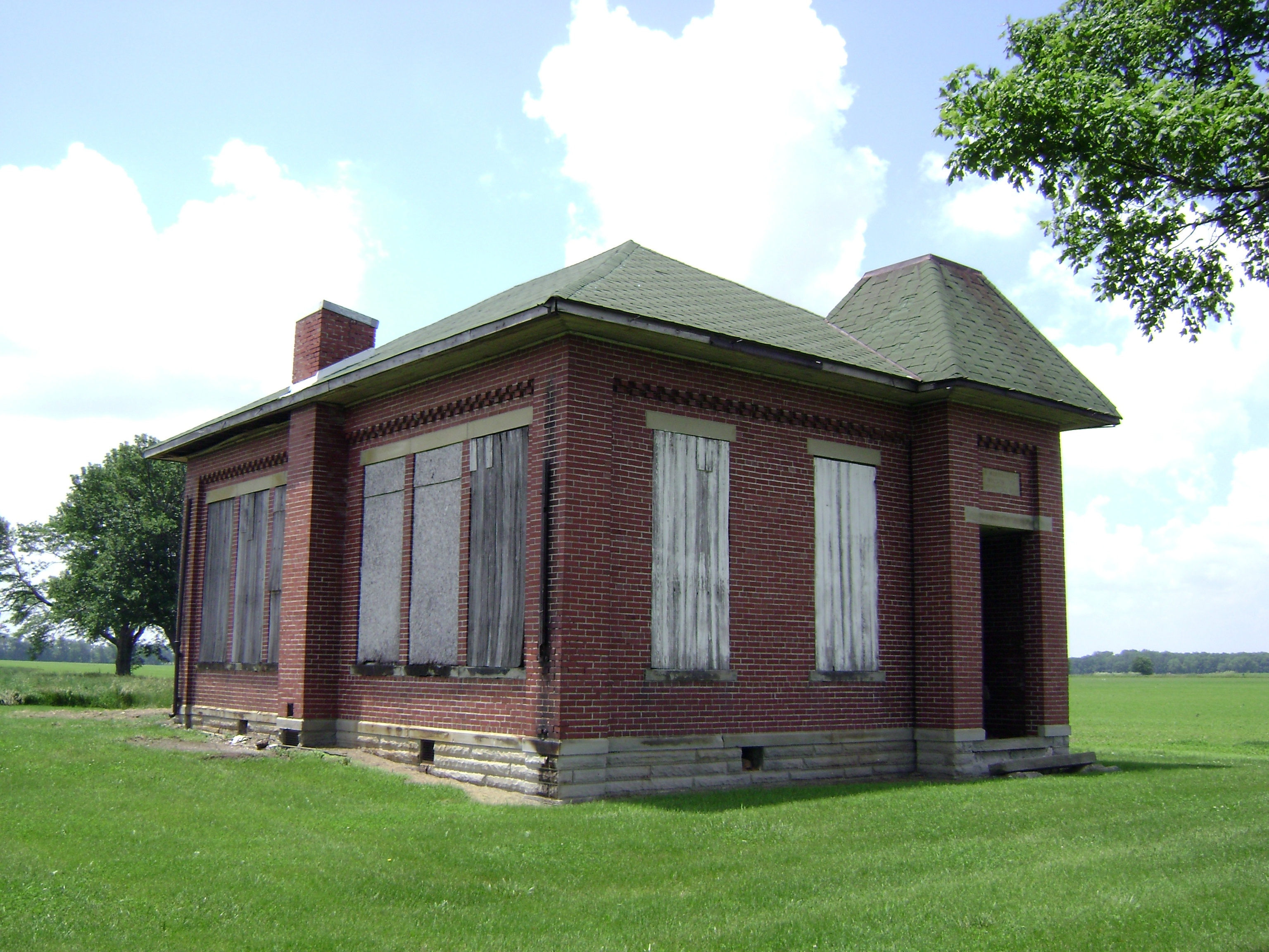
Bloomington, Ohio- Woodside Schoolhouse
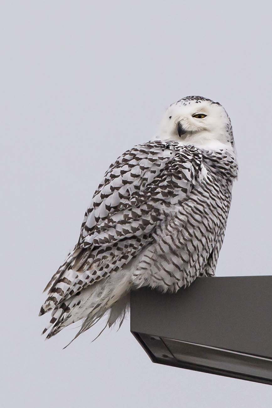
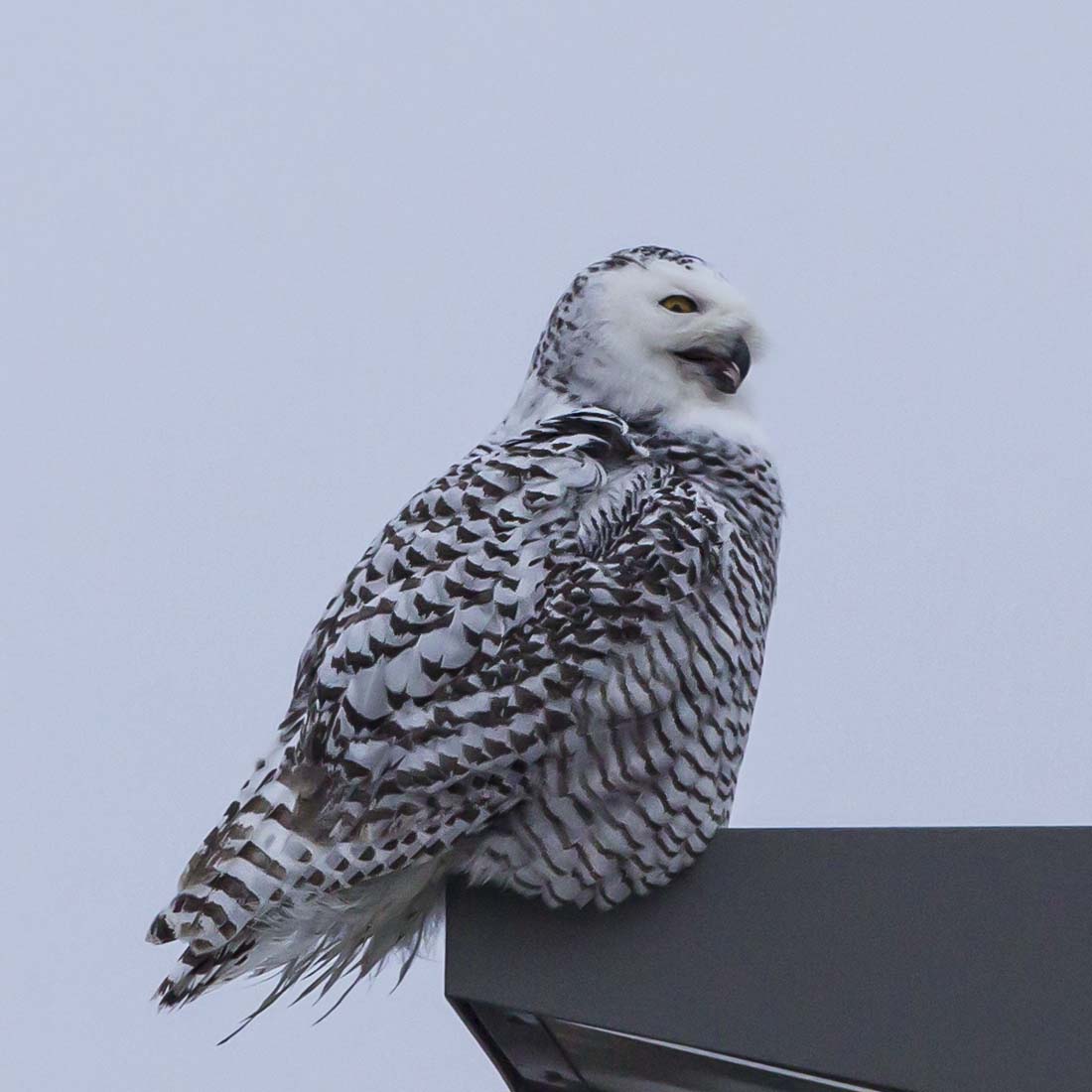
ohio immature snowyowl fayettecounty buboscandiacus washingtoncourthouse
SNOWY OWL
walmartsupercenter newsprintfilter
Snowy Owl (Finally)
ohio snowyowl fayettecounty buboscandiacus washingtoncourthouse
SNOWY OWL
ohio sign downtown fayettecounty washingtoncourthouse
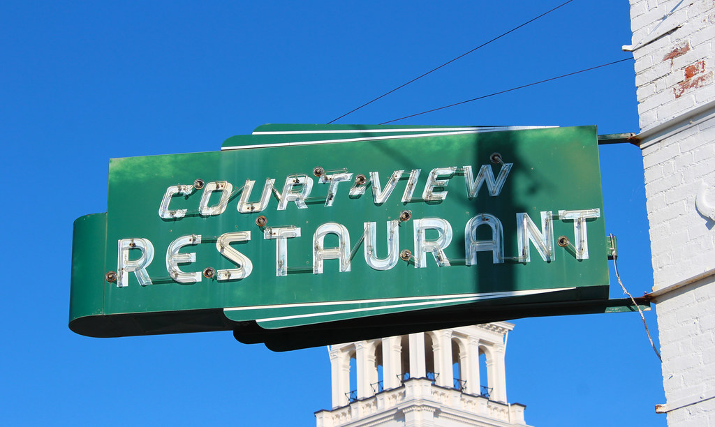
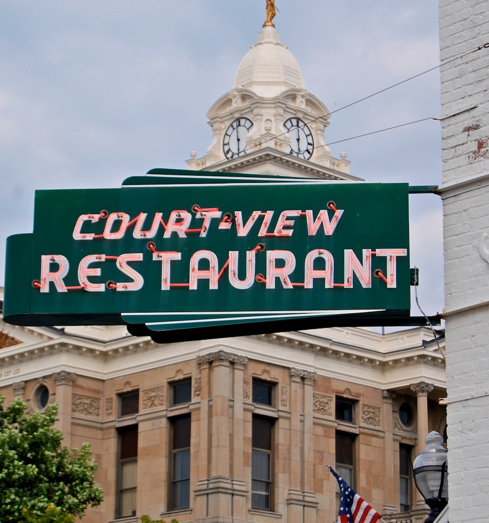
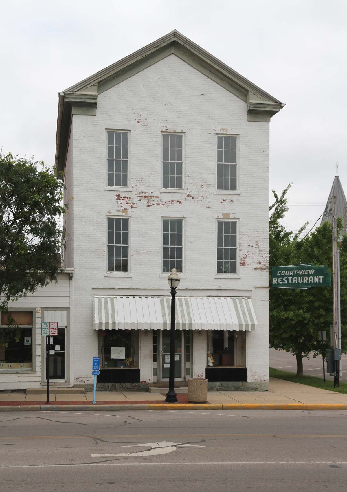
Court-View Restaurant
sunset ohio sky windmill clouds barn
The Sky turns Pastel
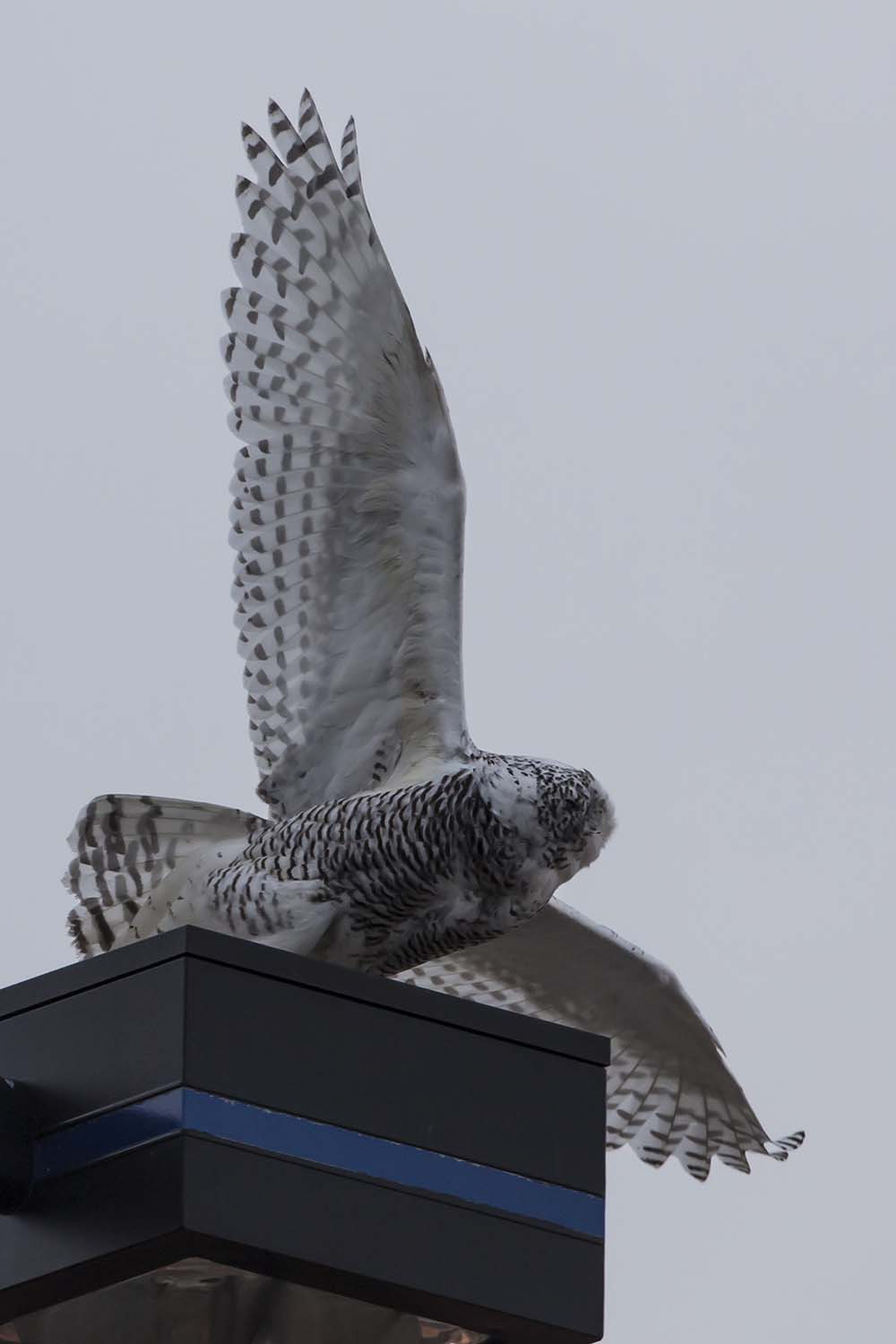
ohio snowyowl fayettecounty buboscandiacus washingtoncourthouse
SNOWY OWL
ohio sign typography neon lettering washingtoncourthouse
court-view restaurant
ohio immature snowyowl fayettecounty buboscandiacus washingtoncourthouse
SNOWY OWL
ohio raw bridges 1883 fayettecounty dok1 ironbridges geotaggedohio
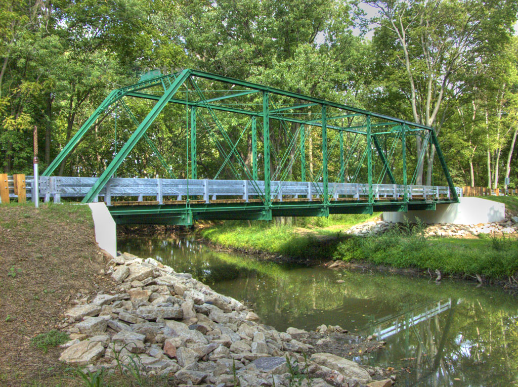
1883 Reconstructed Iron Bridge
windows white building sign awning greek restaurant neon painted entrance frieze 66 historic doorway commercial storefront 1854 cornice burnett returns revival threestory sidelights trabeated courtview
Burnett Building — Washington Court House, Ohio
ohio monument cemetery army memorial military wwi worldwari cannon artillery oh bethpage sabina warmemorial 1917 bethlehemsteel 37mm artillerypiece sabinacemetery markamodeli
37mm Mark A, Model I No.???? in Sabina
winter icy wrecks i71
Five Miles Per Hour
ohio courthouse washingtoncourthouse washingtonch courtviewrestaurant davidwgibbs fayettecountyohiocourthouse
Fayette County, Ohio Court House
county ohio house abandoned farmhouse rural decay farm forgotten fayette milledgeville
Milledgeville, Ohio
ohio sky field clouds corn grow bean crops agriculture flickrcentral hdr abigfave esmithiii esmithiii2003
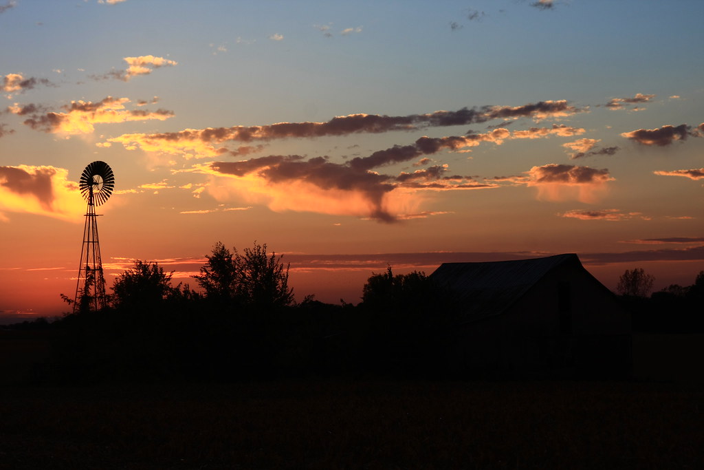
The Barn and field-HDR
square squareformat amaro iphoneography instagramapp uploaded:by=instagram
Driving home after fun day at Kings Island. Corn corn and more corn #Ohio #country #evening #vacation #funday #kingsisland
Open sky -Jeffersonville Ohio
winter sun weather farm cincinnati cincy cincinnatiweather
Sun Over Farm
ohio cemetery landscape nikon d70 d70s duotone washingtoncourthouse
Soldiers Row 3
railroad b ohio house rural farm elevator grain indiana railway caboose io springfield local gw wsh dti emd sd402 railfanning gp50 iory
EMD IORY Glint
tree field alone farm lonely
Tree along I-71
jcbsixs
Ohio before you.
trees sunset ohio sky sun tree silhouette clouds rural evening landscapes skies dusk silhouettes sunsets farmland oh farms evenings nightfall fayettecounty i23 washingtoncourthouse ruralohio ruralairport fayettecountyairport ruralairfield
Rural Sunset
sunset ohio clouds rural landscape evening landscapes flying airport cloudy dusk aviation farming flight sunsets farmland landing oh farms agriculture airports runway nightfall fayettecounty i23 runways washingtoncourthouse ruralohio fayettecountyairport
I23 - Evening
morning ohio clouds rural sunrise landscape dawn landscapes flying airport cloudy dusk aviation farming hangar flight farmland gas landing oh farms mornings sunrises agriculture airports runway fuel fayettecounty hangars fueltanks i23 runways aviationfuel washingtoncourthouse ruralohio fuelfarm thangar fayettecountyairport
I23 - Morning
county pink sunset ohio sky night clouds rural plane airplane landscape evening flying airport corn cornfield purple dusk aircraft aviation parking airplanes farming hangar flight sunsets farmland planes oh farms parked piper agriculture airports fayette tiedown nightfall fayettecounty pa28 generalaviation i23 ohiosunset washingtoncourthouse aviationphotography ruralohio piperpa28181archerii piperpa28 cornstubble pa28181 archerii ruralairport piperaircraft piperarcherii thangar pa28181archerii countyairport pipercherokeearcher ohioevening fayettecountyairport n38357
Little Bird, Big Sky
county pink sunset ohio sky moon night clouds rural plane airplane landscape evening flying airport corn cornfield purple dusk aircraft aviation parking airplanes farming hangar flight sunsets farmland moonrise planes oh farms parked piper agriculture airports lunar fayette tiedown nightfall fayettecounty pa28 generalaviation i23 ohiosunset washingtoncourthouse aviationphotography ruralohio piperpa28181archerii piperpa28 cornstubble pa28181 archerii ruralairport piperaircraft piperarcherii thangar pa28181archerii countyairport pipercherokeearcher ohioevening fayettecountyairport n38357
Little Bird, Big Sky
ohio summer food plants water field rural landscape airport corn mud farming grain farmland crop oh farms crops summertime growing grains agriculture airports maize fayettecounty farmcountry i23 foodproduction washingtoncourthouse ruralohio ohiofarmcountry fayettecountyairport
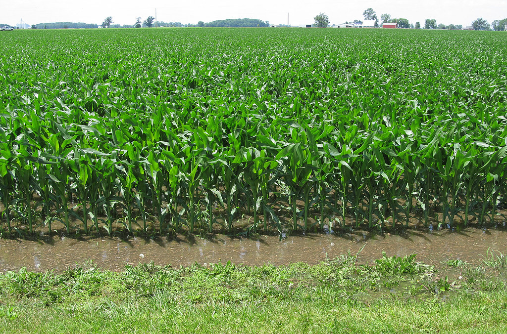
Corn about knee-high
road travel trees sunset ohio plants tree landscape drive evening highway driving sunsets oh interstate traveling roadside restarea i71 jeffersonville interstate71 i71n i71north
Rest Area
county ohio house abandoned farmhouse rural wooden decay farm forgotten greene bowersville
Bowersville, Ohio
bird pheasant englishpointer hunting birdhunting birddogs pheasanthunting cherrybend
Jeff taking aim at his first pheasant
pheasant birddogs pheasanthunting cherrybend
Cherry Bend Pheasant Farm - 12/26/11
nikon pheasant hunting birdhunting pheasanthunting cherrybend nikond7000
Cold winter day, a big change from last year's hunt