Elevation of Richland Township, OH, USA
Location: United States > Ohio > Clinton County >
Longitude: -83.613557
Latitude: 39.497299
Elevation: 314m / 1030feet
Barometric Pressure: 98KPa
Elevation Map:
Satellite Map:
Related Photos:
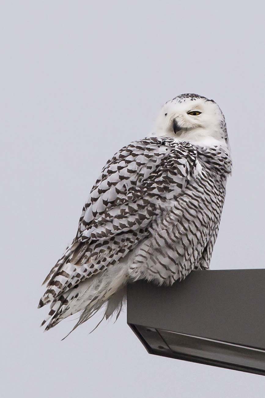
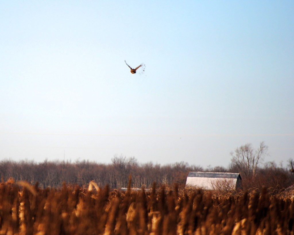
SNOWY OWL
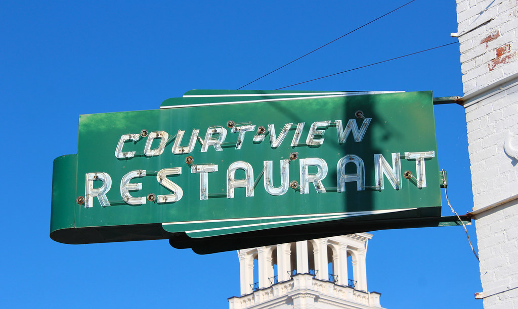
Court-View Restaurant

The Sky turns Pastel
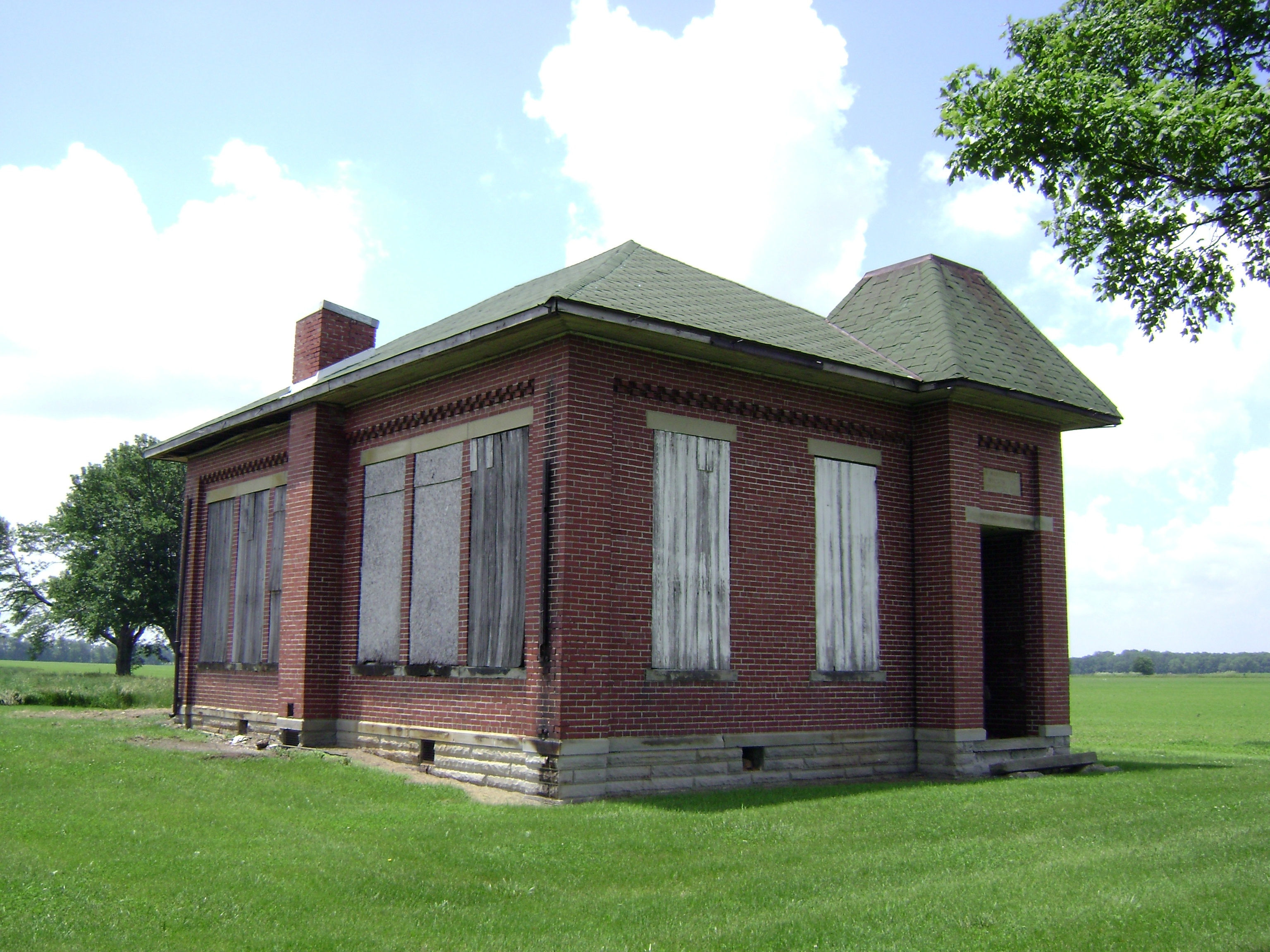
Bloomington, Ohio- Woodside Schoolhouse
37mm Mark A, Model I No.???? in Sabina

Citabria screams overhead

Chesapeake and Ohio 2776 Steam Locomotive
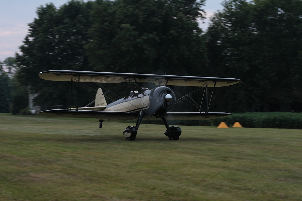
Stearman take off roll
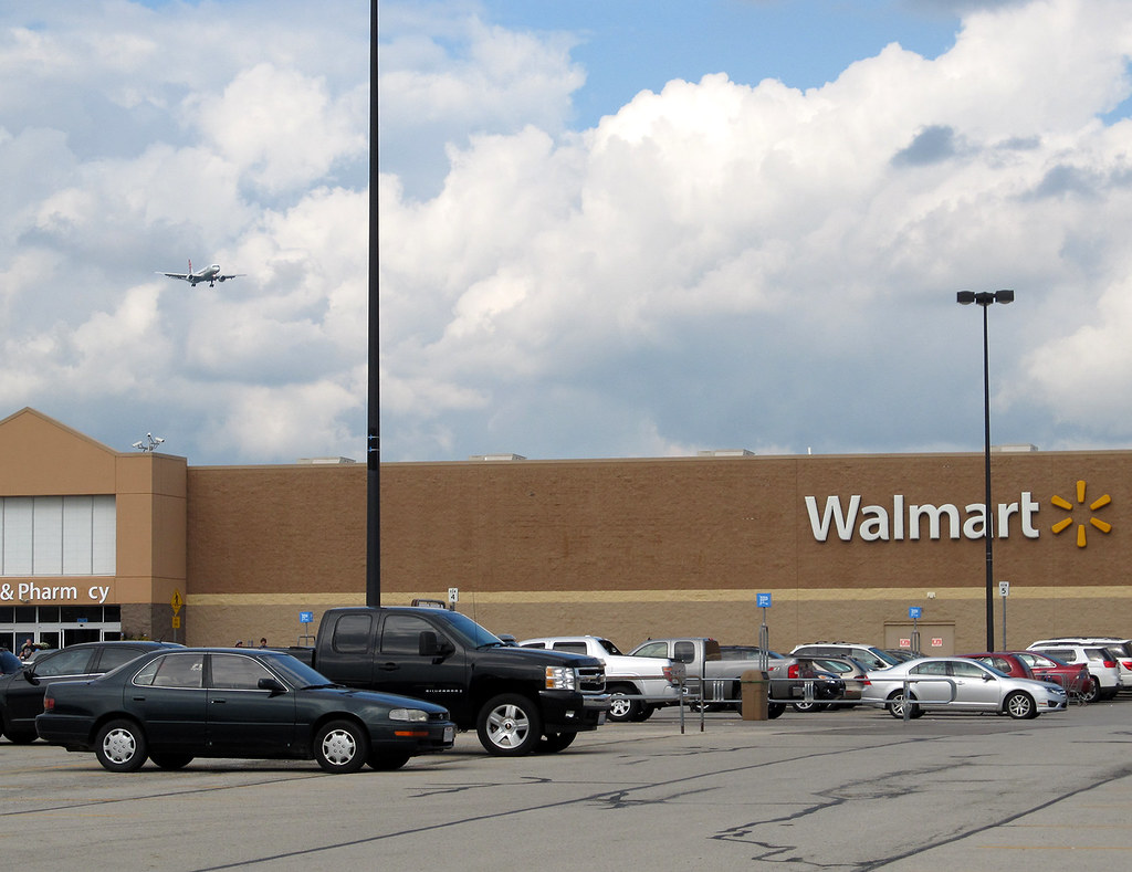
My kind of Walmart

US Air Force F-101B 57-0308 at ILN - Belly View
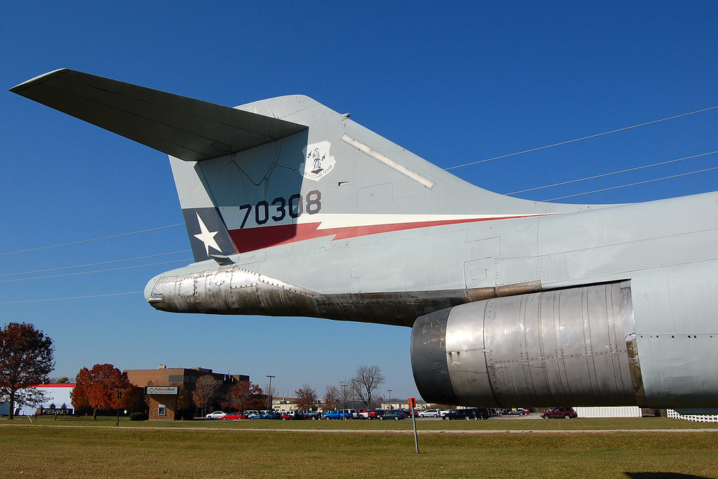
US Air Force F-101B 57-0308 at ILN

Snowy Owl (Finally)

SNOWY OWL
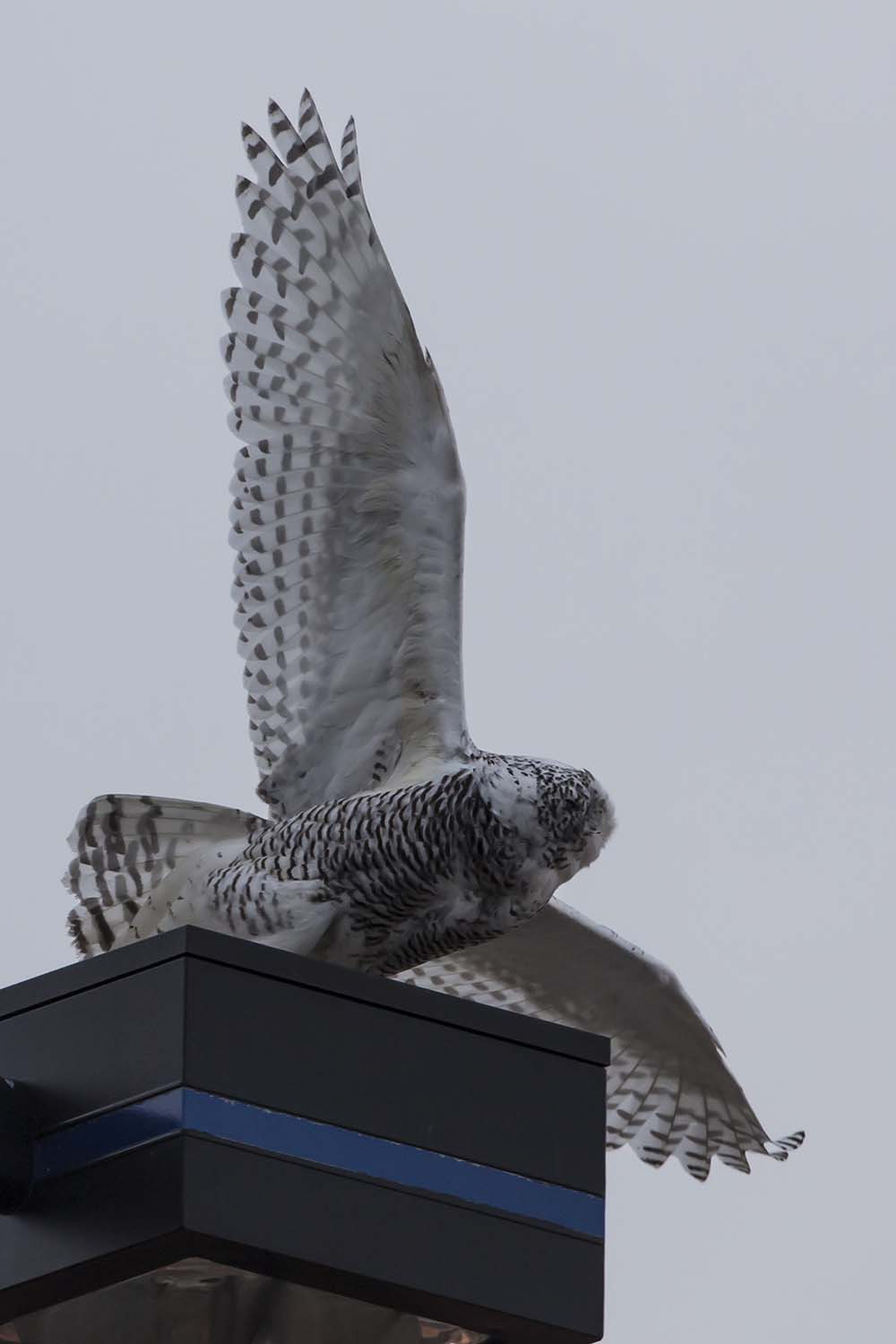
SNOWY OWL
Milledgeville, Ohio
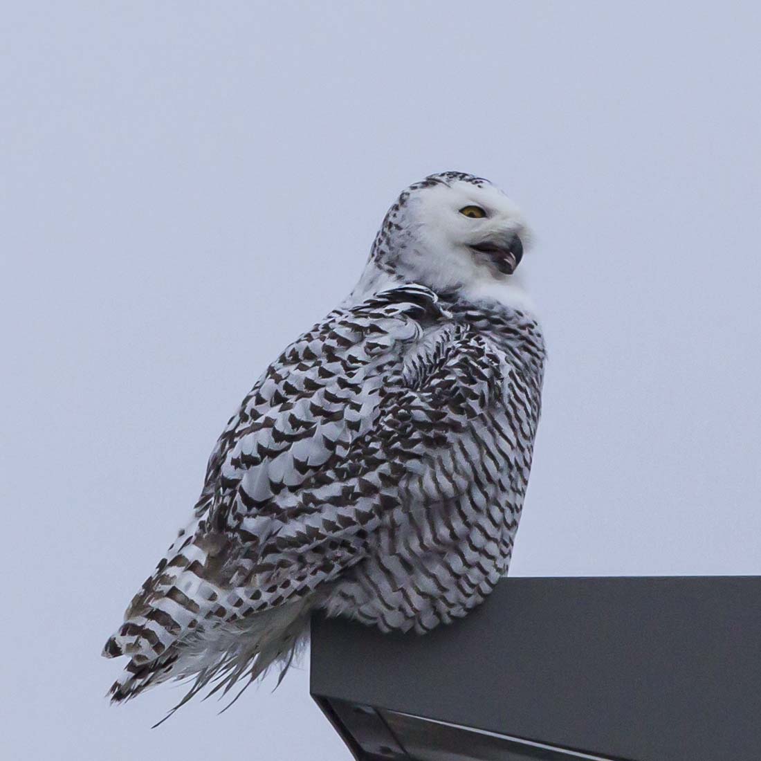
SNOWY OWL
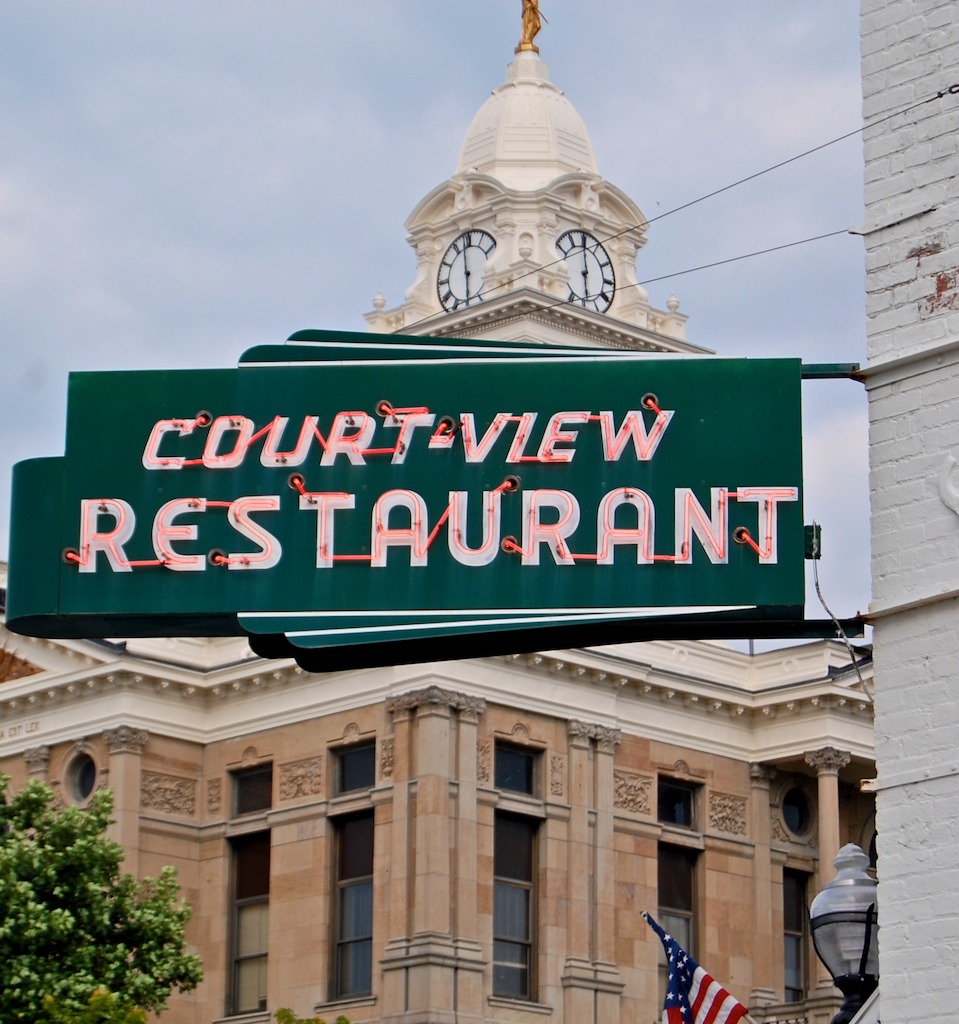
court-view restaurant
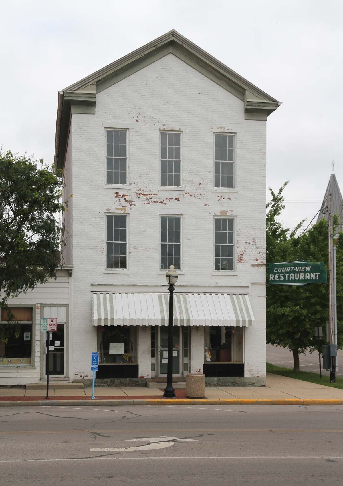
Burnett Building — Washington Court House, Ohio
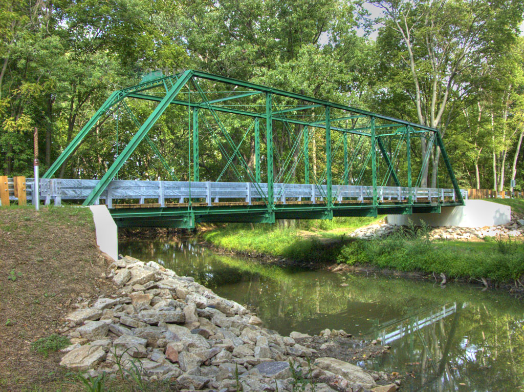
1883 Reconstructed Iron Bridge

Fayette County, Ohio Court House
Bowersville, Ohio

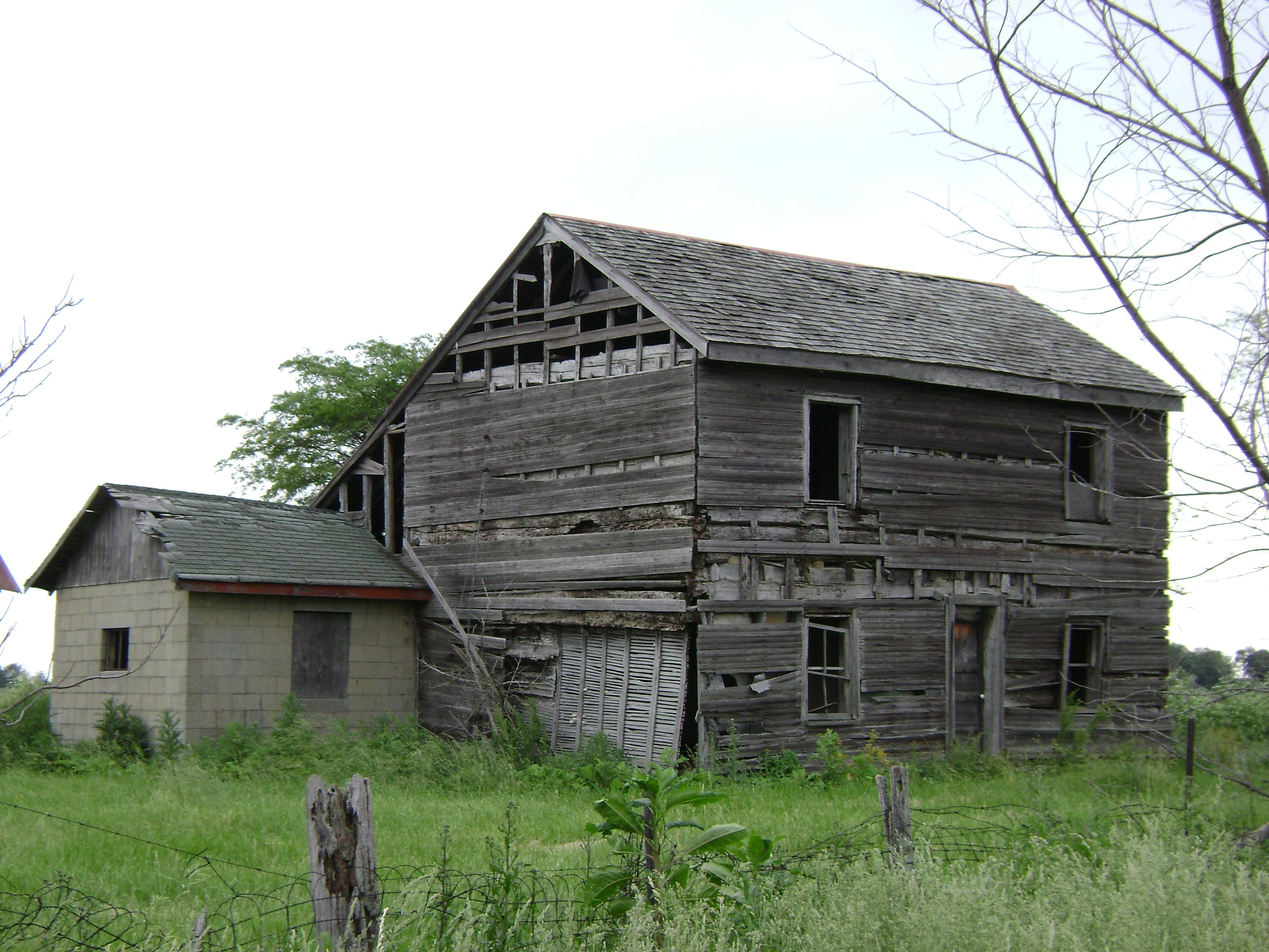
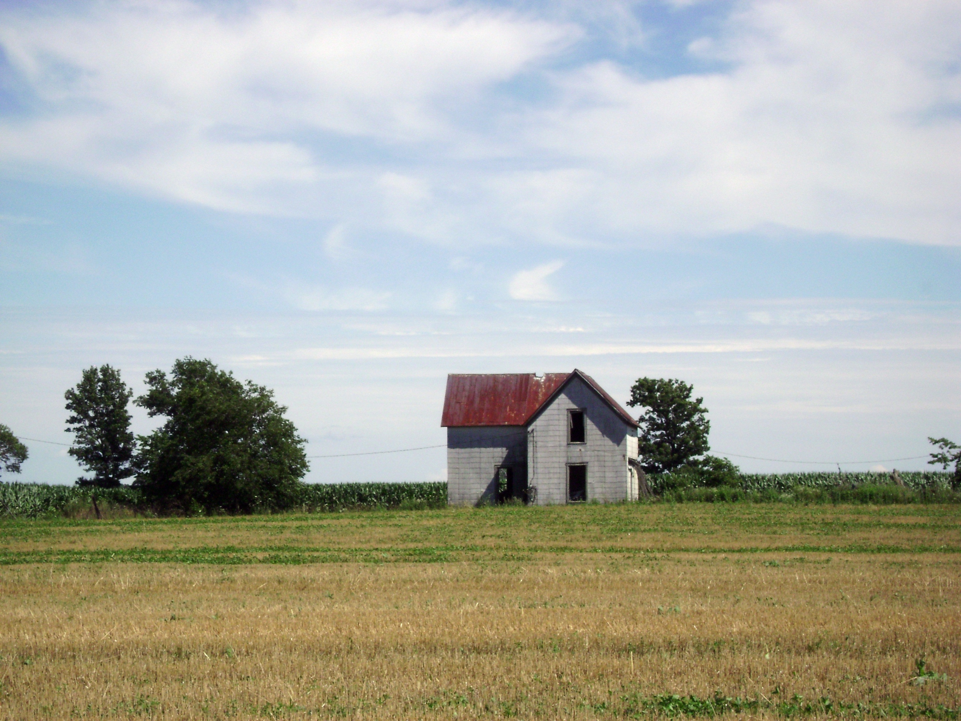
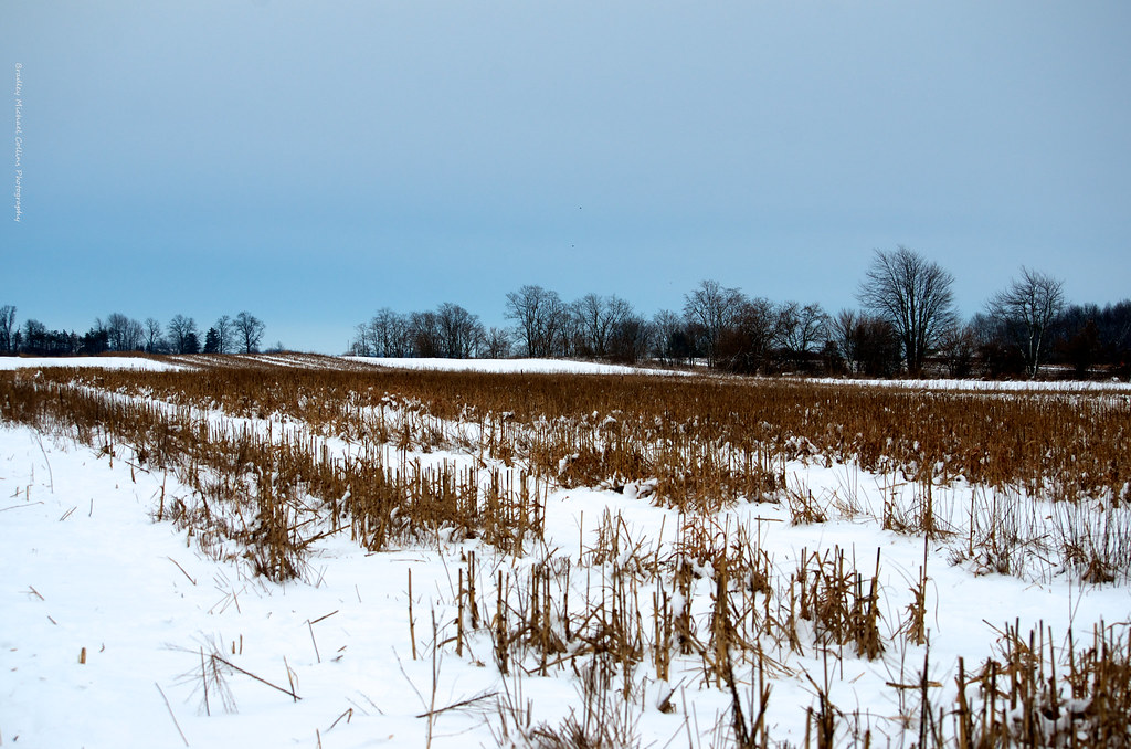
The Barn and field-HDR
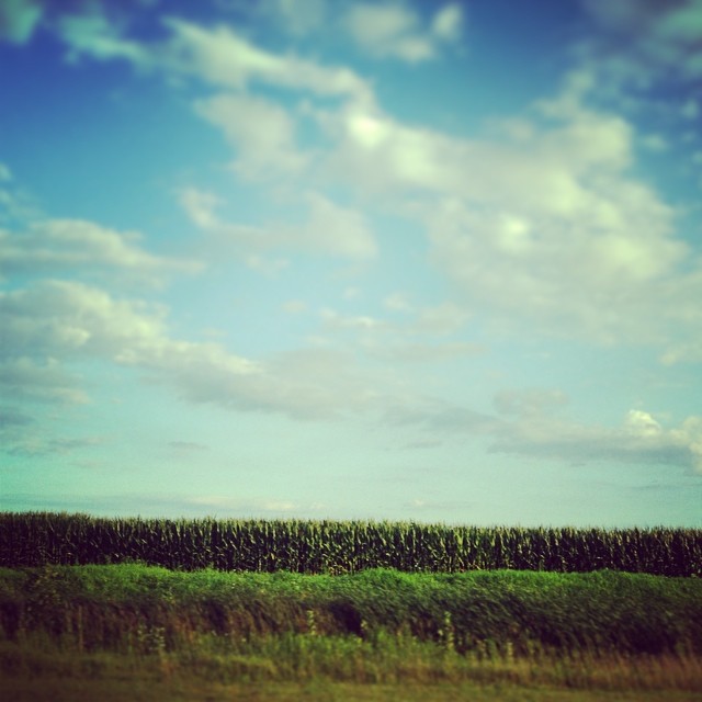
Driving home after fun day at Kings Island. Corn corn and more corn #Ohio #country #evening #vacation #funday #kingsisland
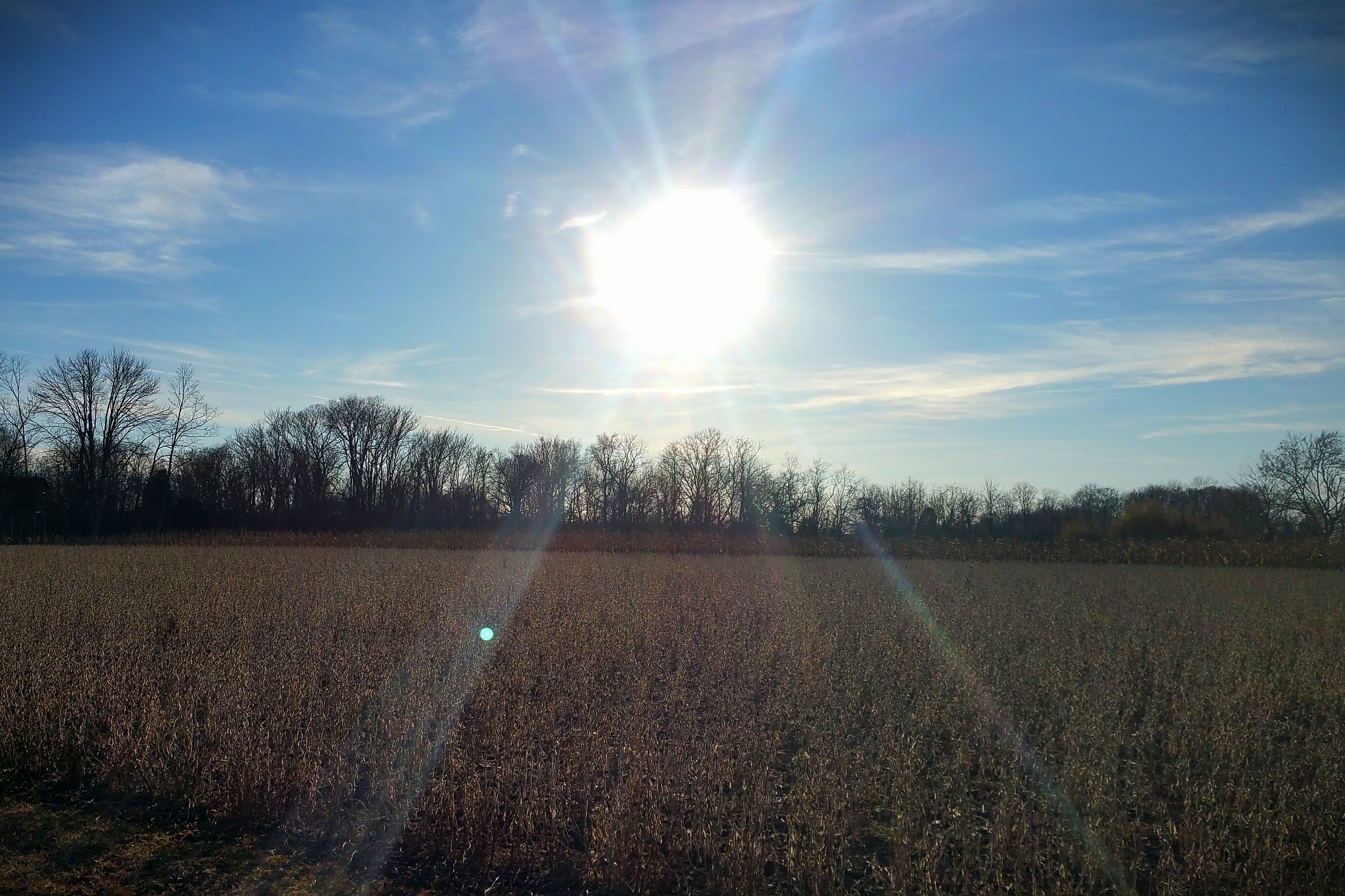
Sun Over Farm

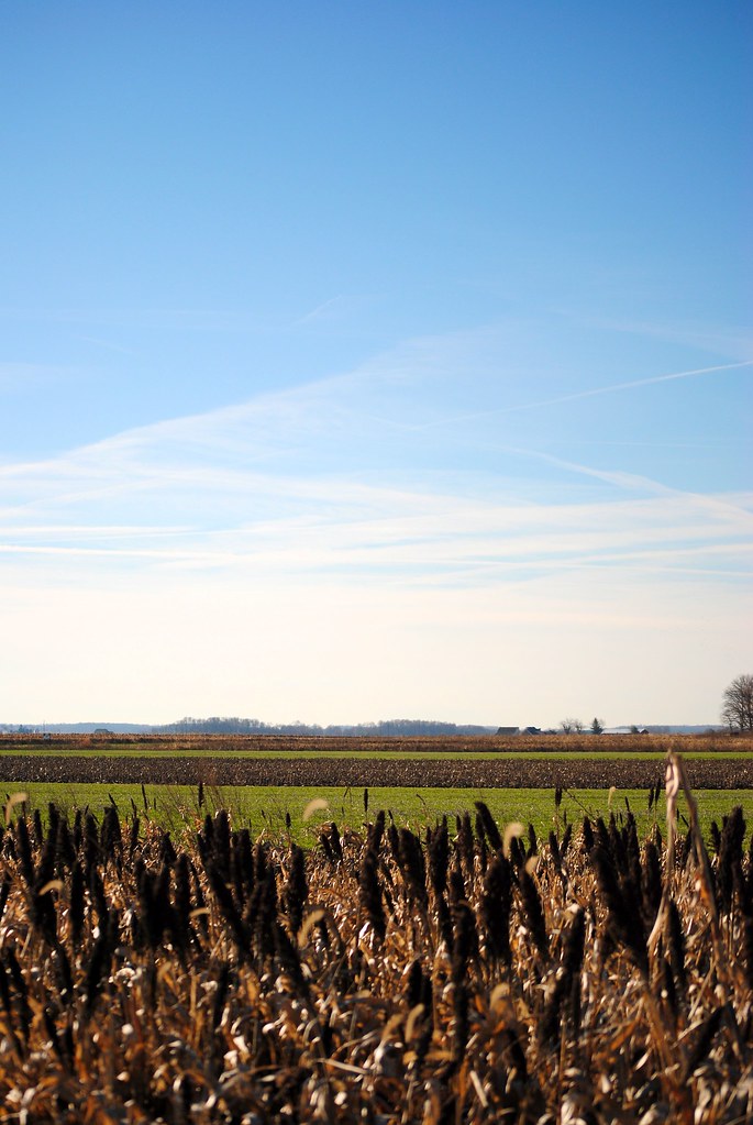
After the Harvest

Jeff taking aim at his first pheasant

Cherry Bend Pheasant Farm - 12/26/11
Cold winter day, a big change from last year's hunt
Feathers flying!
Couldn't ask for a much better day in late December

Ryan taking aim

Nick checking out how many shells he has left

Double Trouble - Ryan and Nick

Rising hen

Zoe hot on the trail of a pheasant
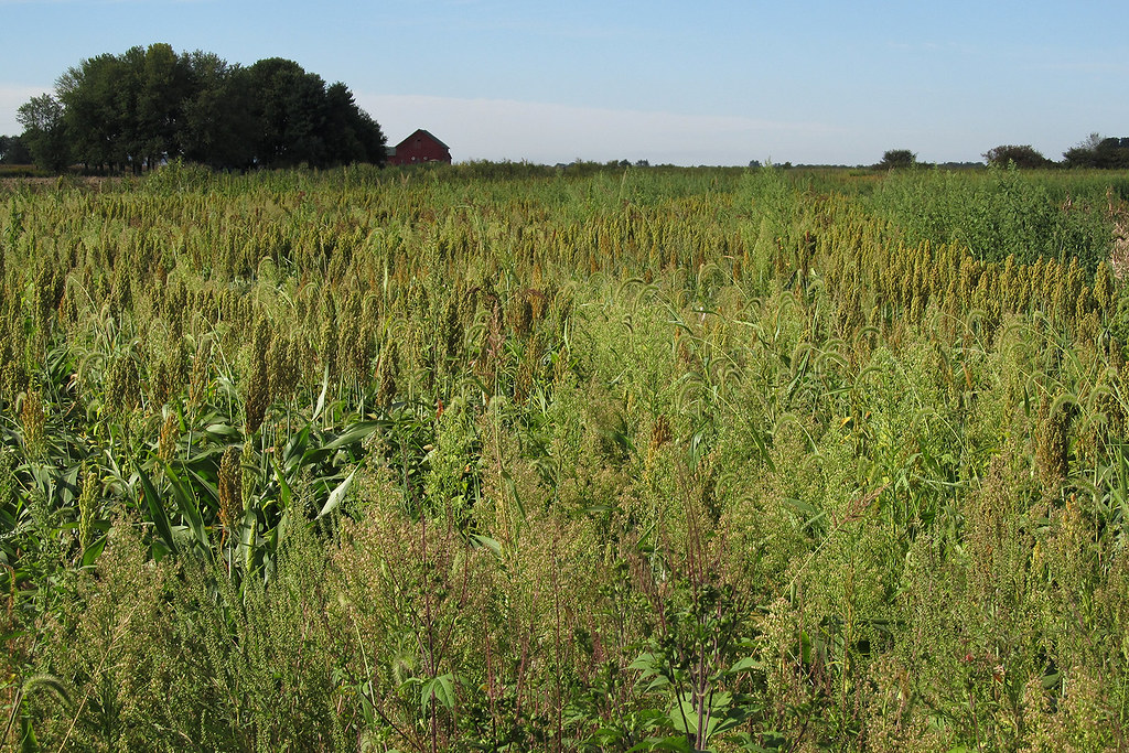
Fields of Sorghum

EMD IORY Glint

Tree along I-71
Rest Area
Topographic Map of Richland Township, OH, USA
Find elevation by address:

Places in Richland Township, OH, USA:
Places near Richland Township, OH, USA:
202 Krebs Dr
Sabina Public Library
Sabina
1730 Cline Rd
4677 Oh-729
420 Powers Rd
OH-72, Sabina, OH, USA
120 Weller St
Wayne Township
Lees Creek
32 Larrick Rd, Sabina, OH, USA
Jasper Township
Main St NW, Milledgeville, OH, USA
Milledgeville
Milledgeville Post Office
Ohio 729
Cherrybend Rd, Wilmington, OH, USA
Church St, Washington Court House, OH, USA
Melvin Rd, Wilmington, OH, USA
Old U.S. 35, Washington Court House, OH, USA
Recent Searches:
- Elevation of Corso Fratelli Cairoli, 35, Macerata MC, Italy
- Elevation of Tallevast Rd, Sarasota, FL, USA
- Elevation of 4th St E, Sonoma, CA, USA
- Elevation of Black Hollow Rd, Pennsdale, PA, USA
- Elevation of Oakland Ave, Williamsport, PA, USA
- Elevation of Pedrógão Grande, Portugal
- Elevation of Klee Dr, Martinsburg, WV, USA
- Elevation of Via Roma, Pieranica CR, Italy
- Elevation of Tavkvetili Mountain, Georgia
- Elevation of Hartfords Bluff Cir, Mt Pleasant, SC, USA