Elevation of Caramoran, Catanduanes, Philippines
Location: Philippines > Bicol > Catanduanes >
Longitude: 124.175444
Latitude: 13.819335
Elevation: 486m / 1594feet
Barometric Pressure: 96KPa
Elevation Map:
Satellite Map:
Related Photos:

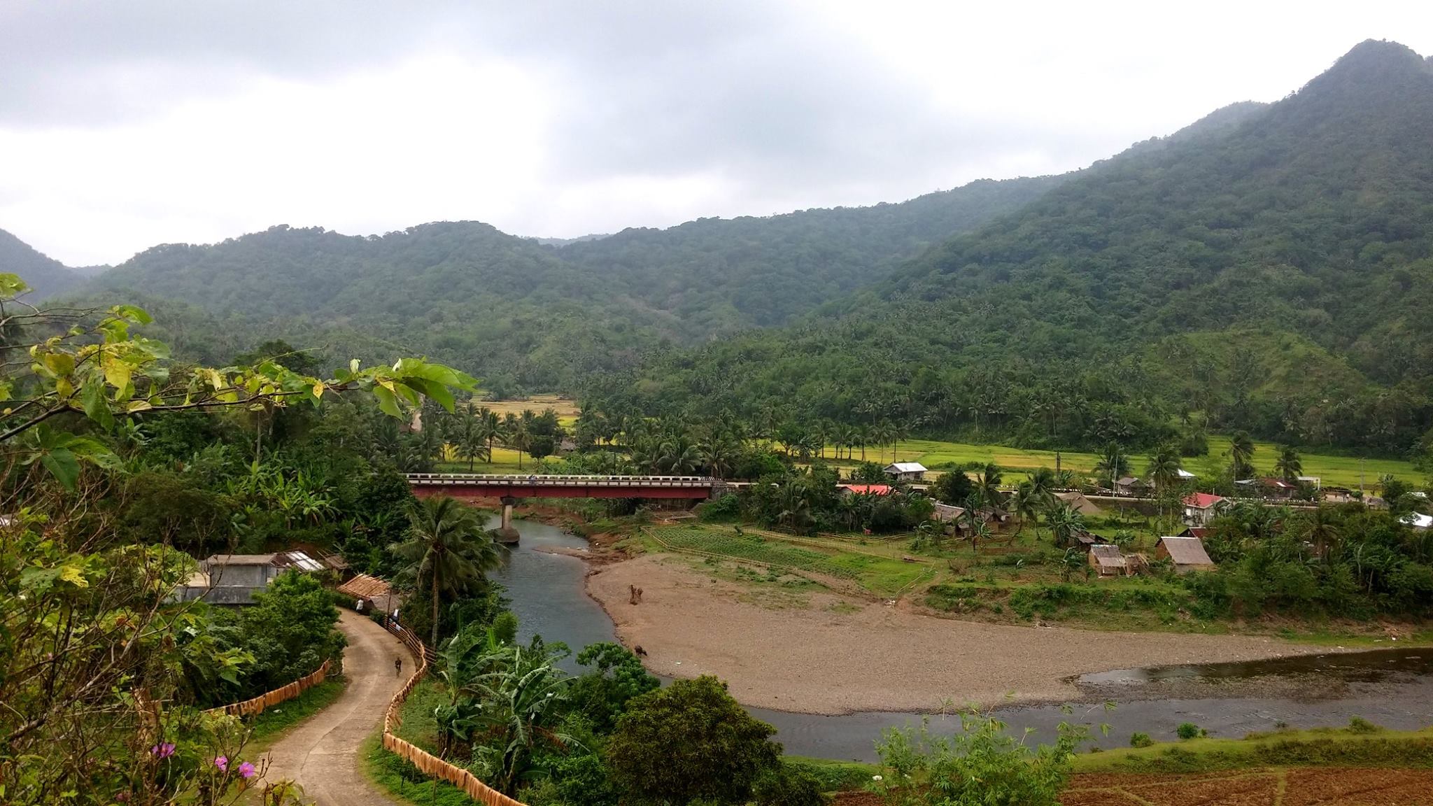
Caramoran, Catanduanes, Philippines

San Jose Oco

San Jose Oco
San Jose Oco

San Jose Oco

San Jose Oco

San Jose Oco

San Jose Oco

Old Tree

Sunset-2
Topographic Map of Caramoran, Catanduanes, Philippines
Find elevation by address:

Places in Caramoran, Catanduanes, Philippines:
Places near Caramoran, Catanduanes, Philippines:
Barangay Obi
Pedro Vera (summit)
Catanduanes
Bagamanoc
Catanduanes Island
Baras
San Andres
Bato Municipal Hall
Barangay Libod
Cabugao
Tamburan
Bato
Mamangal Beach Resort
Antipolo Del Norte
Binurong View Point
Bote
Pananaogan
Bote Lighthouse
Bacacay
Basud
Recent Searches:
- Elevation of Congressional Dr, Stevensville, MD, USA
- Elevation of Bellview Rd, McLean, VA, USA
- Elevation of Stage Island Rd, Chatham, MA, USA
- Elevation of Shibuya Scramble Crossing, 21 Udagawacho, Shibuya City, Tokyo -, Japan
- Elevation of Jadagoniai, Kaunas District Municipality, Lithuania
- Elevation of Pagonija rock, Kranto 7-oji g. 8"N, Kaunas, Lithuania
- Elevation of Co Rd 87, Jamestown, CO, USA
- Elevation of Tenjo, Cundinamarca, Colombia
- Elevation of Côte-des-Neiges, Montreal, QC H4A 3J6, Canada
- Elevation of Bobcat Dr, Helena, MT, USA