Elevation of Binurong View Point, Baras, Catanduanes, Philippines
Location: Philippines > Bicol > Catanduanes > Baras >
Longitude: 124.414530
Latitude: 13.6688182
Elevation: 12m / 39feet
Barometric Pressure: 101KPa
Elevation Map:
Satellite Map:
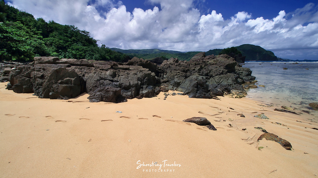
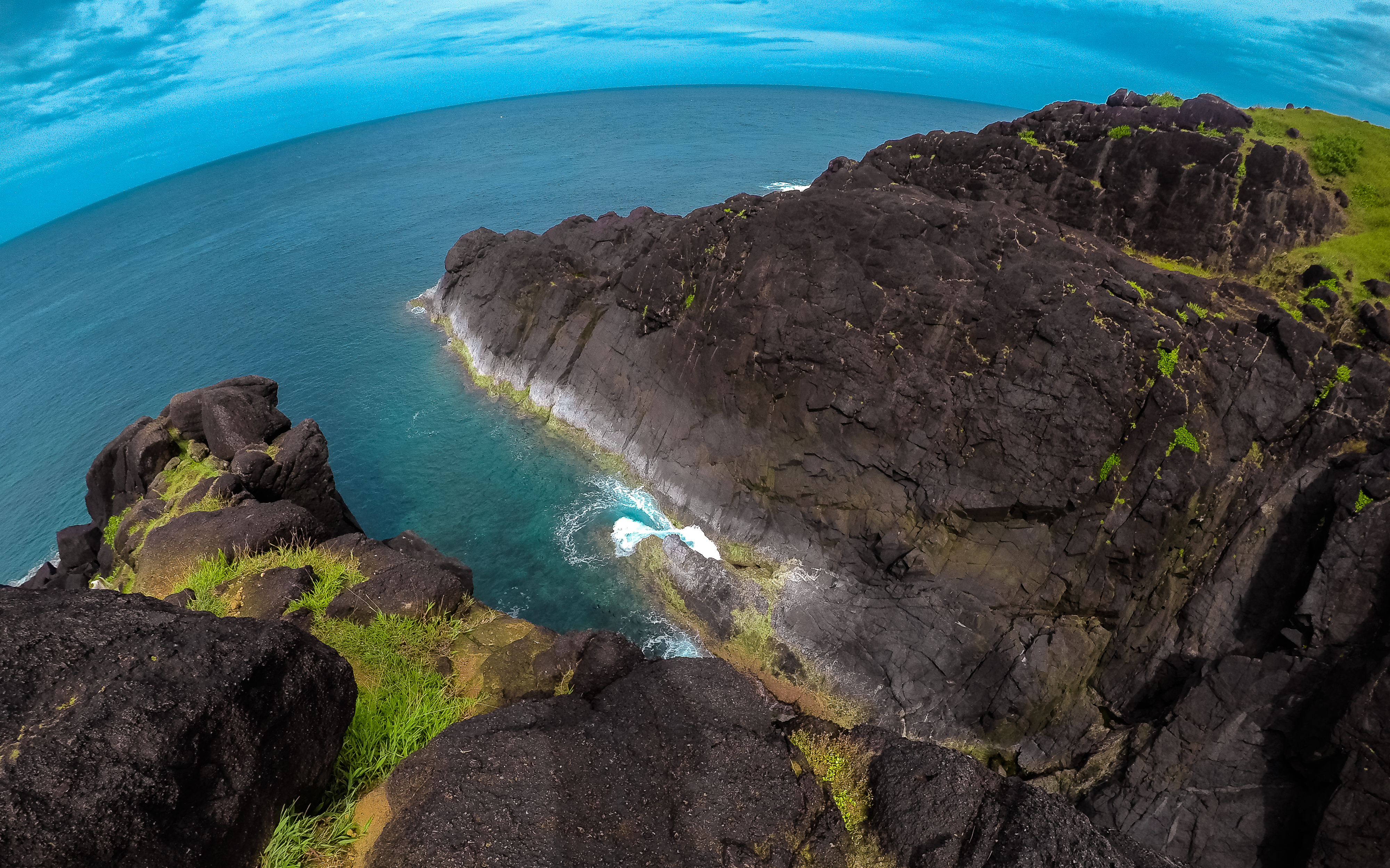
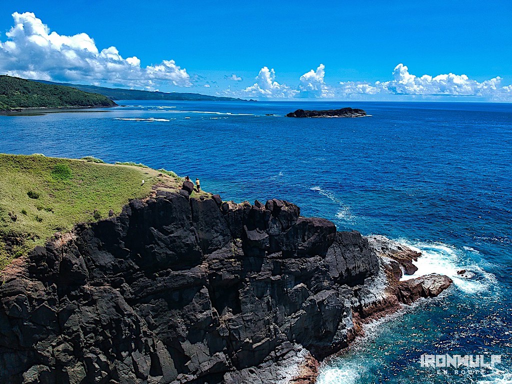
Related Photos:
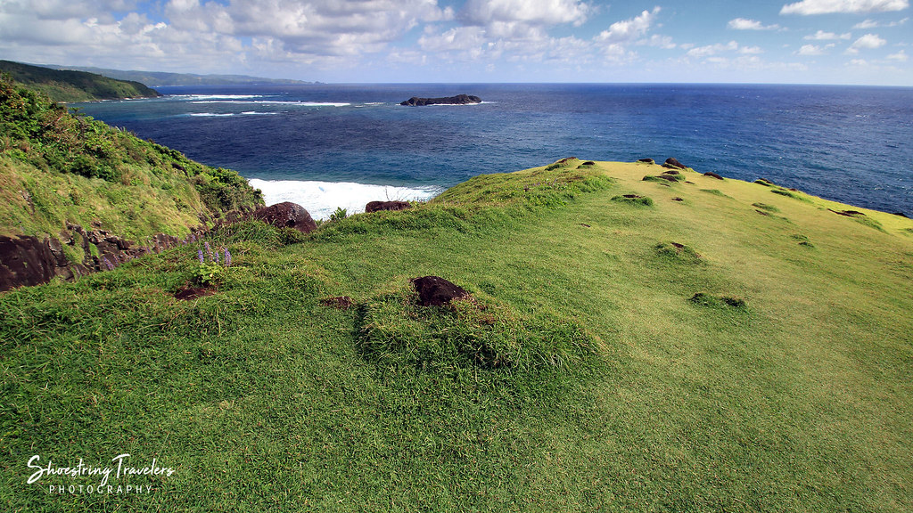
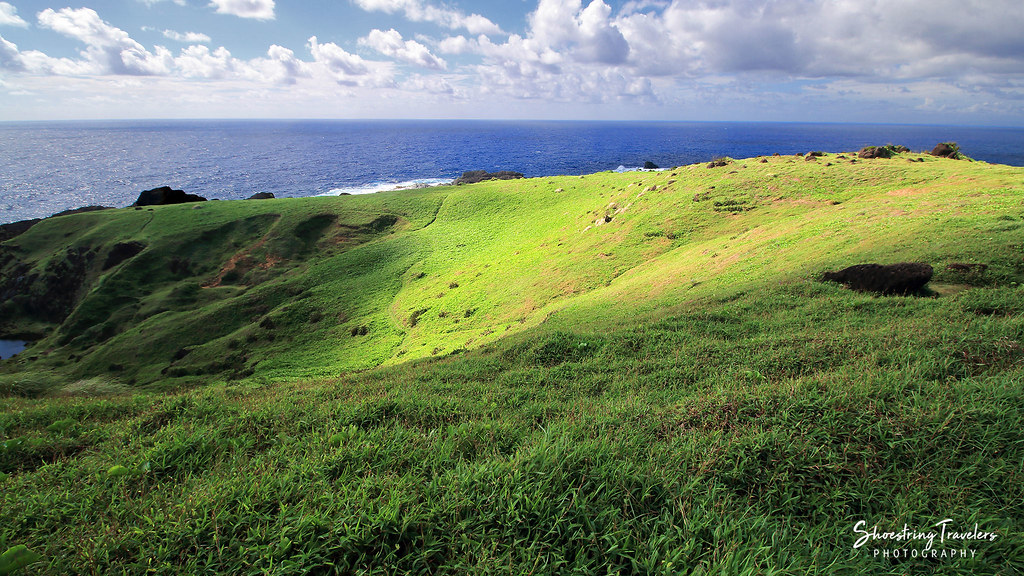
Through the Hills
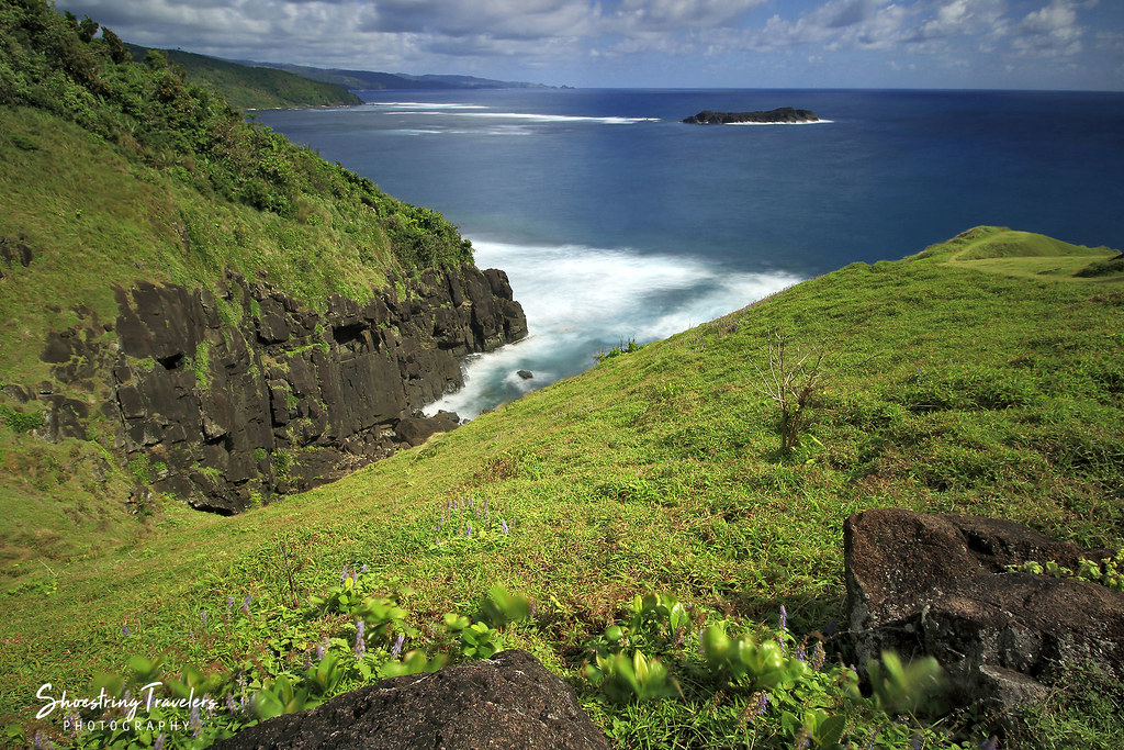
Pacific View
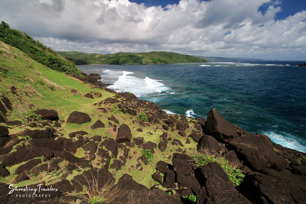
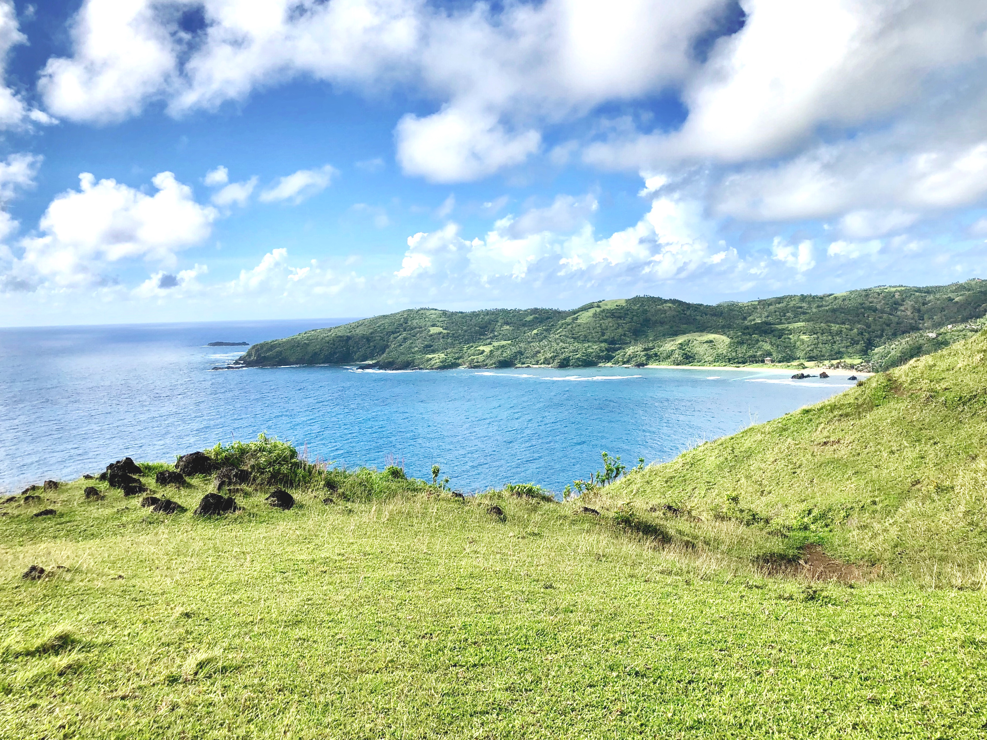
Catanduanes Coast
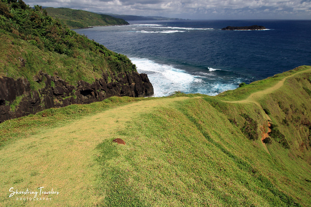
Coastal View
Wonderful view!
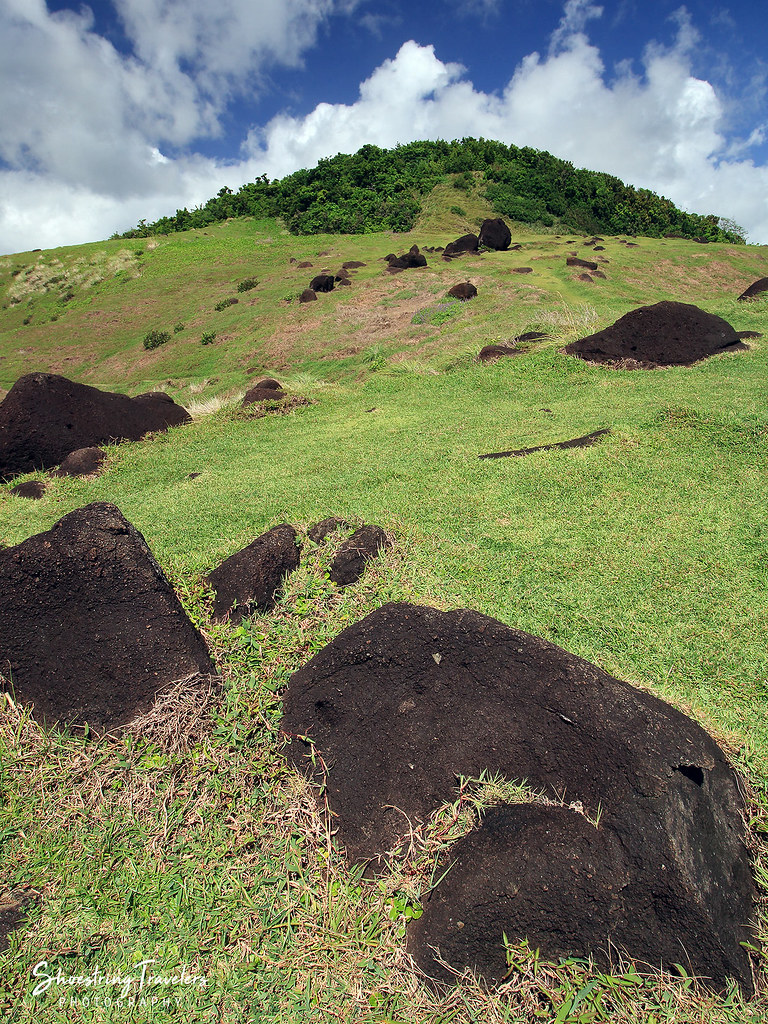
Binurong's Hills
Light and Shadows in the Land of Howling Winds
Binurong Point

Puraran Beach
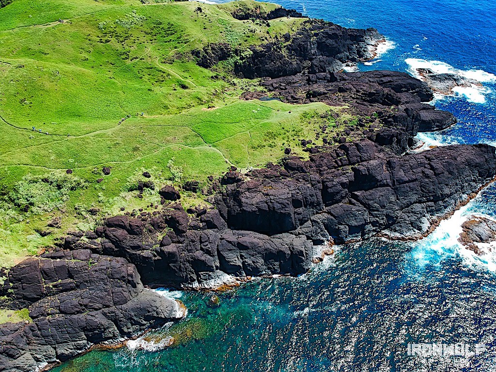
Binurong Point
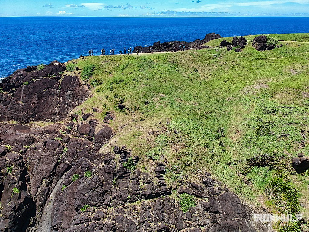
Binurong Point
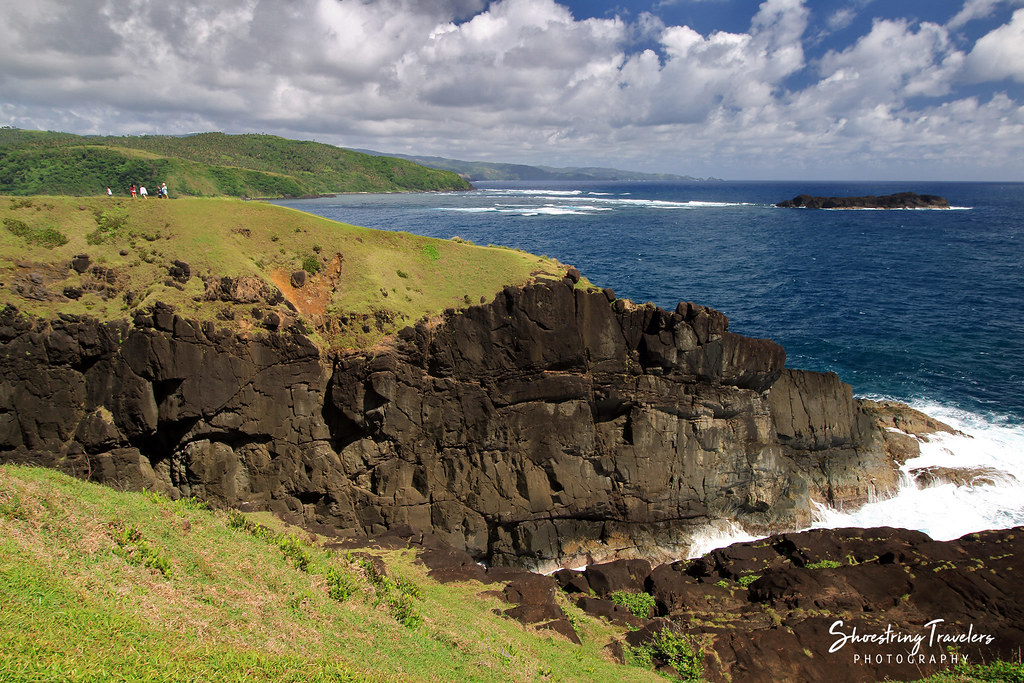
Binurong Point

Binurong Point
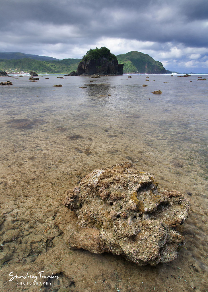
Puraran Low Tide
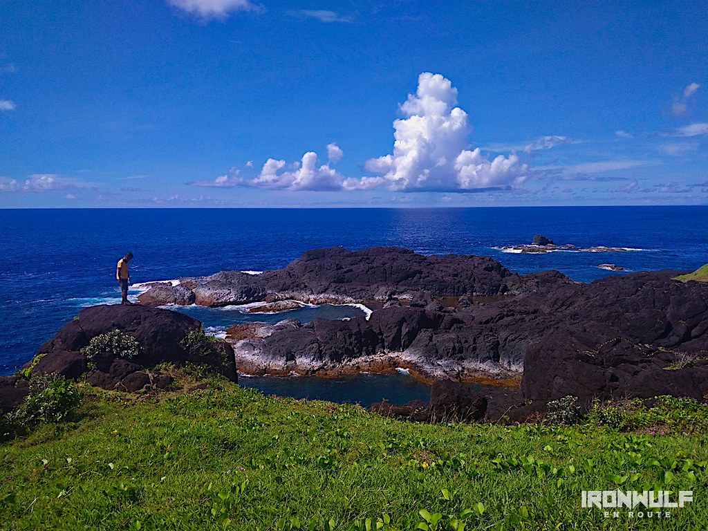
Puraran Rocks!

Wild Flowers
BINURONG POINT
Binurong Point
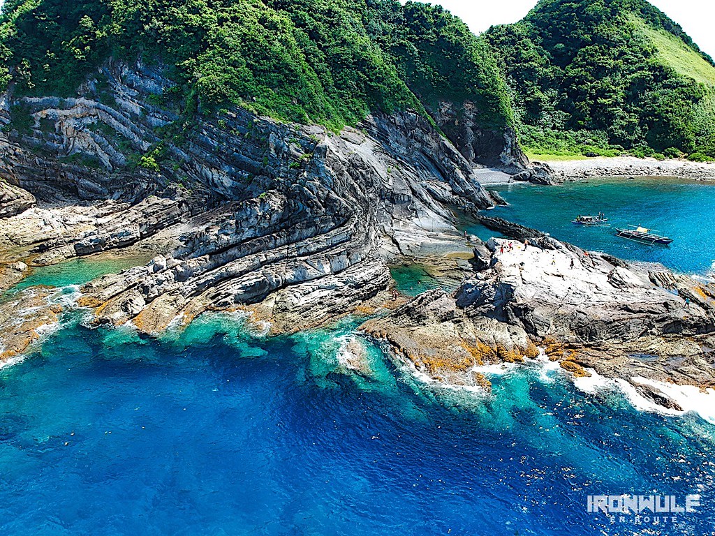
Carorian Poseidon Rock
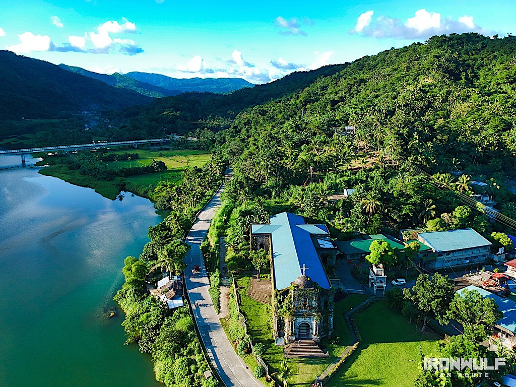
Bato Church

Puraran Sunrise ???? . . . . . . #catanduanes #itsmorefuninthephilippines #puraran #sunrise #landscape #happyislandcatanduanes #thepoortraveler #huggingtheworld #howitravel #passionpassport #unlimitedplanet #lonelyplanet #shuttersrepublic #travel #p
One Cloudy Day
Topographic Map of Binurong View Point, Baras, Catanduanes, Philippines
Find elevation by address:

Places near Binurong View Point, Baras, Catanduanes, Philippines:
Baras
Bato
Tamburan
Barangay Libod
Bato Municipal Hall
Bote
Bote Lighthouse
Pananaogan
Cabugao
Catanduanes
Pedro Vera (summit)
Barangay Obi
Antipolo Del Norte
Caramoran
Catanduanes Island
Mamangal Beach Resort
Bagamanoc
San Andres
Bacacay
Basud
Recent Searches:
- Elevation of Unnamed Road, Respublika Severnaya Osetiya — Alaniya, Russia
- Elevation of Verkhny Fiagdon, North Ossetia–Alania Republic, Russia
- Elevation of F. Viola Hiway, San Rafael, Bulacan, Philippines
- Elevation of Herbage Dr, Gulfport, MS, USA
- Elevation of Lilac Cir, Haldimand, ON N3W 2G9, Canada
- Elevation of Harrod Branch Road, Harrod Branch Rd, Kentucky, USA
- Elevation of Wyndham Grand Barbados Sam Lords Castle All Inclusive Resort, End of Belair Road, Long Bay, Bridgetown Barbados
- Elevation of Iga Trl, Maggie Valley, NC, USA
- Elevation of N Co Rd 31D, Loveland, CO, USA
- Elevation of Lindever Ln, Palmetto, FL, USA