Elevation of Tamburan, Bato, Catanduanes, Philippines
Location: Philippines > Bicol > Catanduanes > Bato >
Longitude: 124.302577
Latitude: 13.6077029
Elevation: 10m / 33feet
Barometric Pressure: 101KPa
Elevation Map:
Satellite Map:
Related Photos:
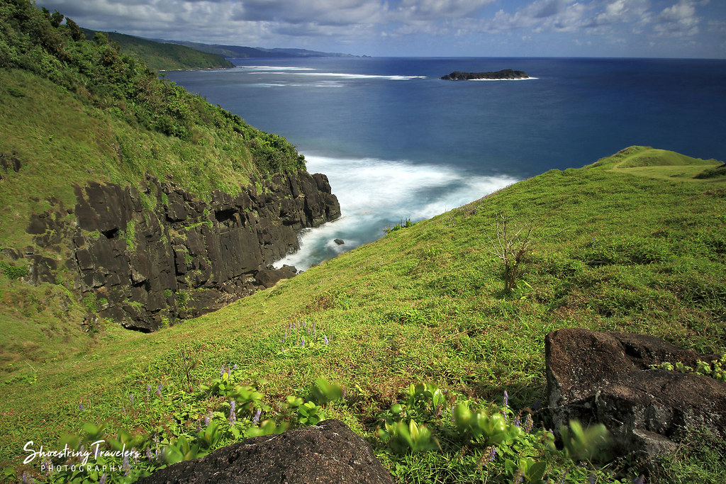
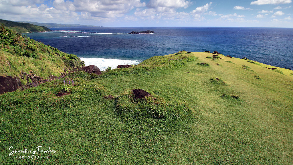
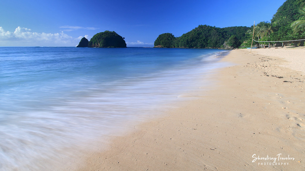
Pacific View
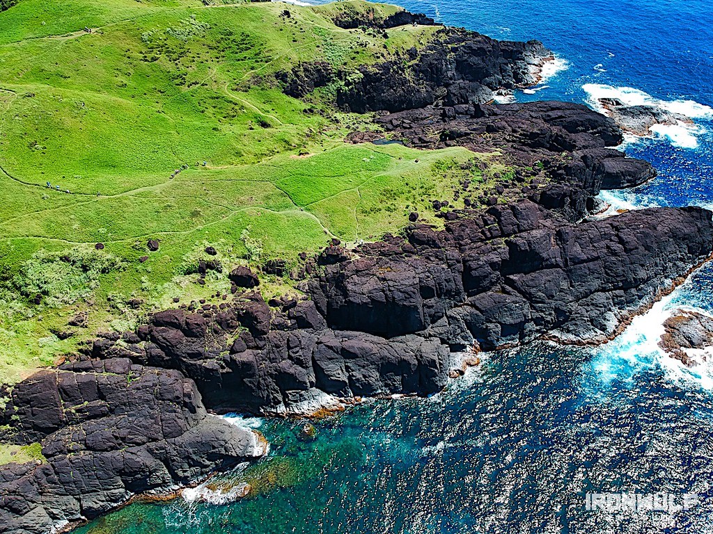
Catanduanes Coast
Coastal View
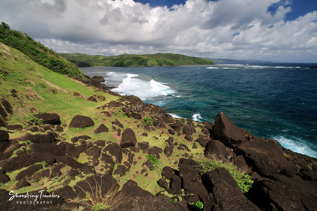
Wonderful view!
Through the Hills
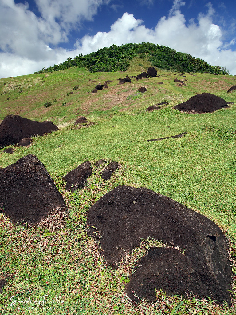
Binurong's Hills

No Barrel Waves Today

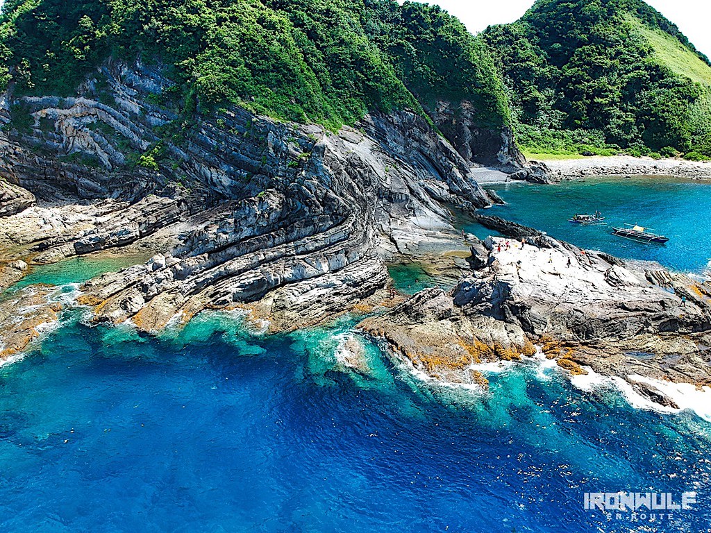
Puraran Beach

Kite surfing. It's luxurious these days to have a beach all to yourself.
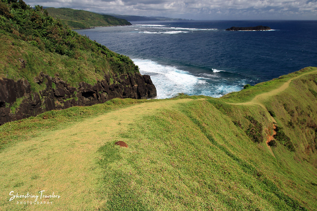
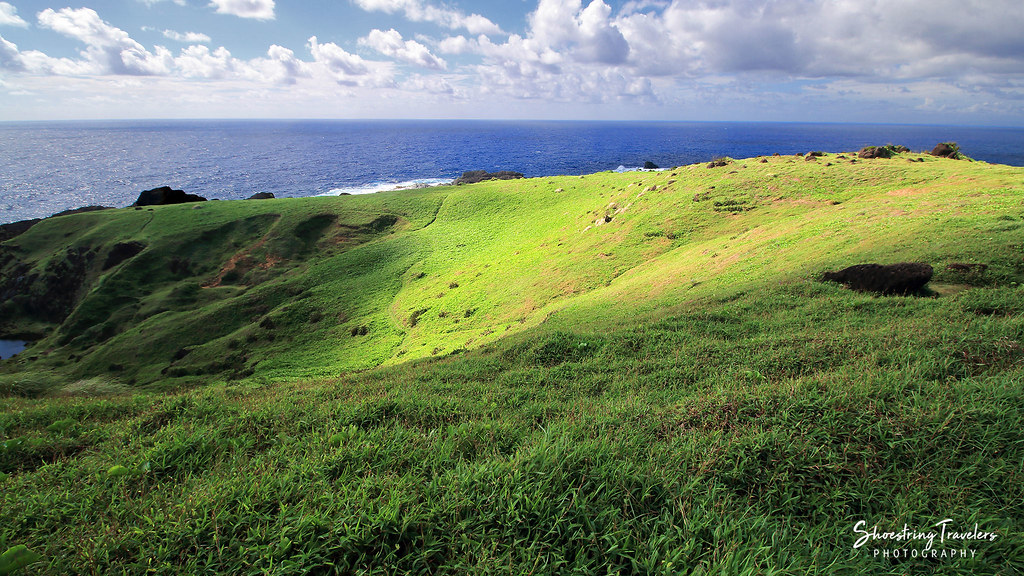
Rolling Hills

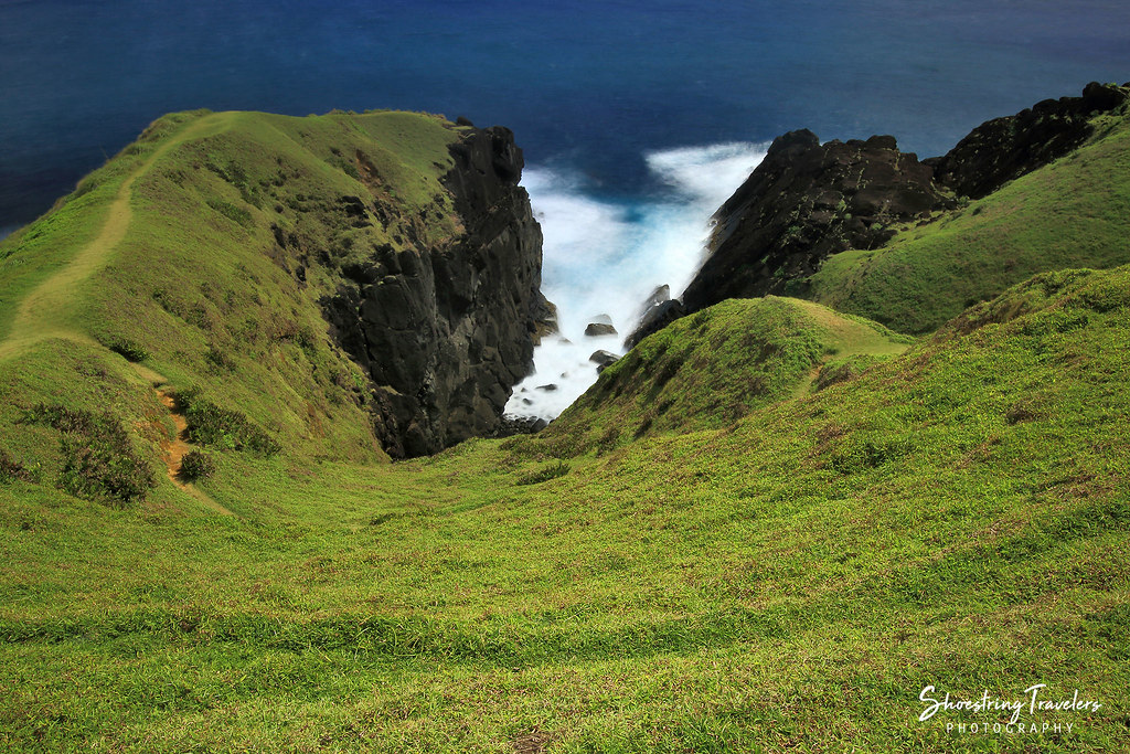
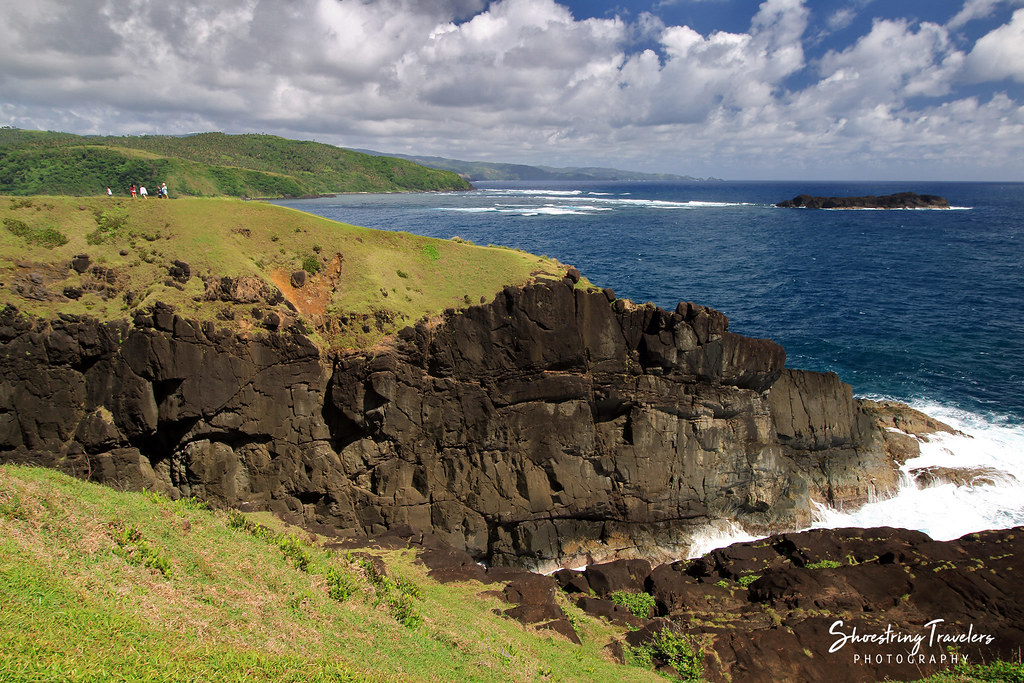
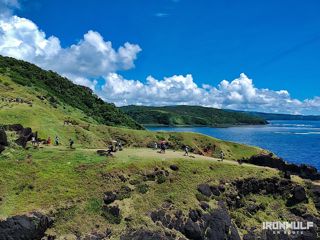
Binurong Point
Light and Shadows in the Land of Howling Winds
Binurong Point
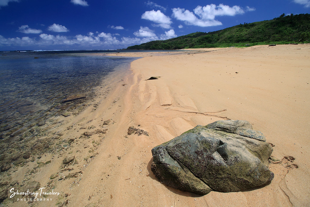
Puraran Beach
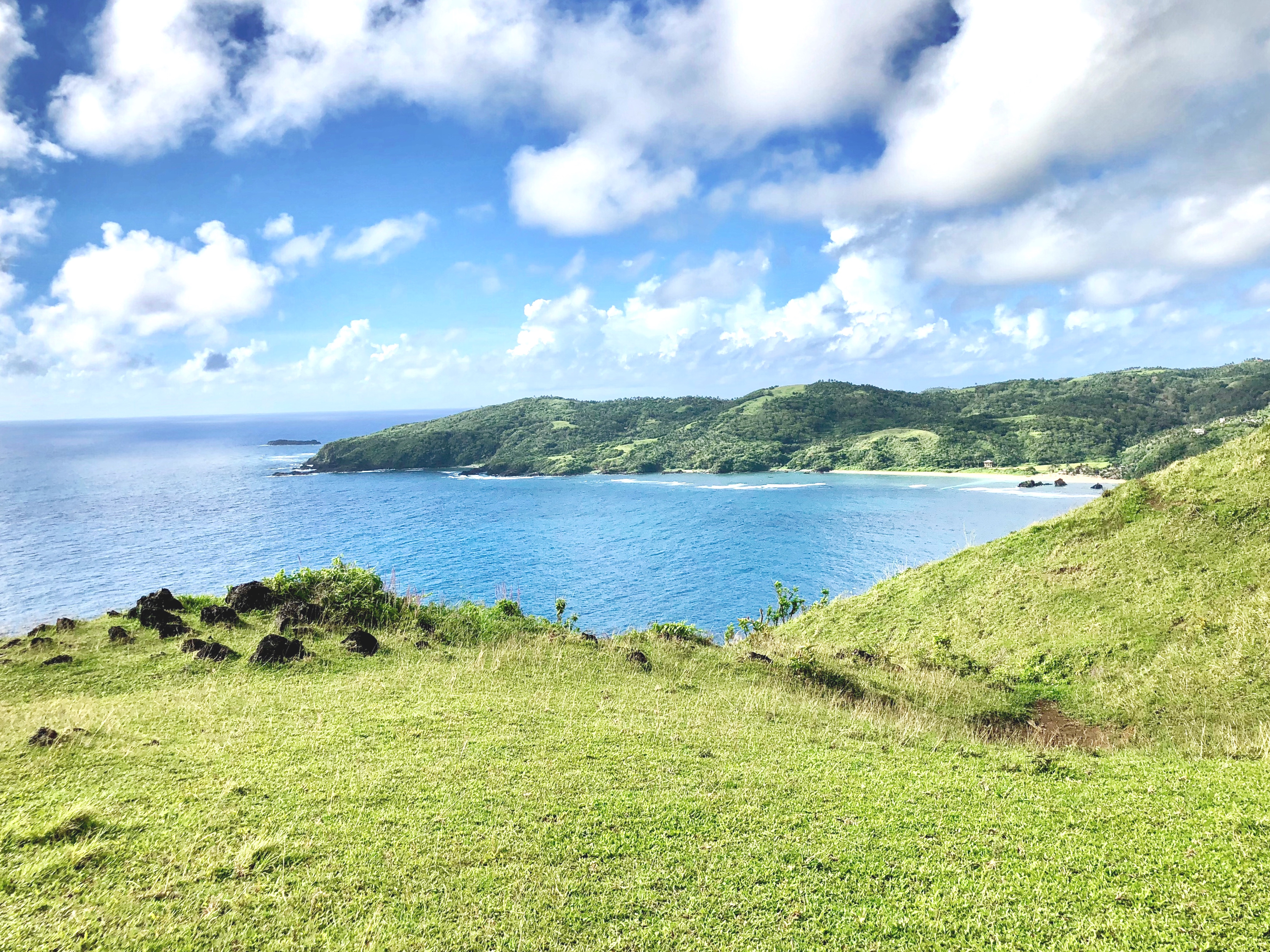
Lazy Afternoon
Puraran Low Tide
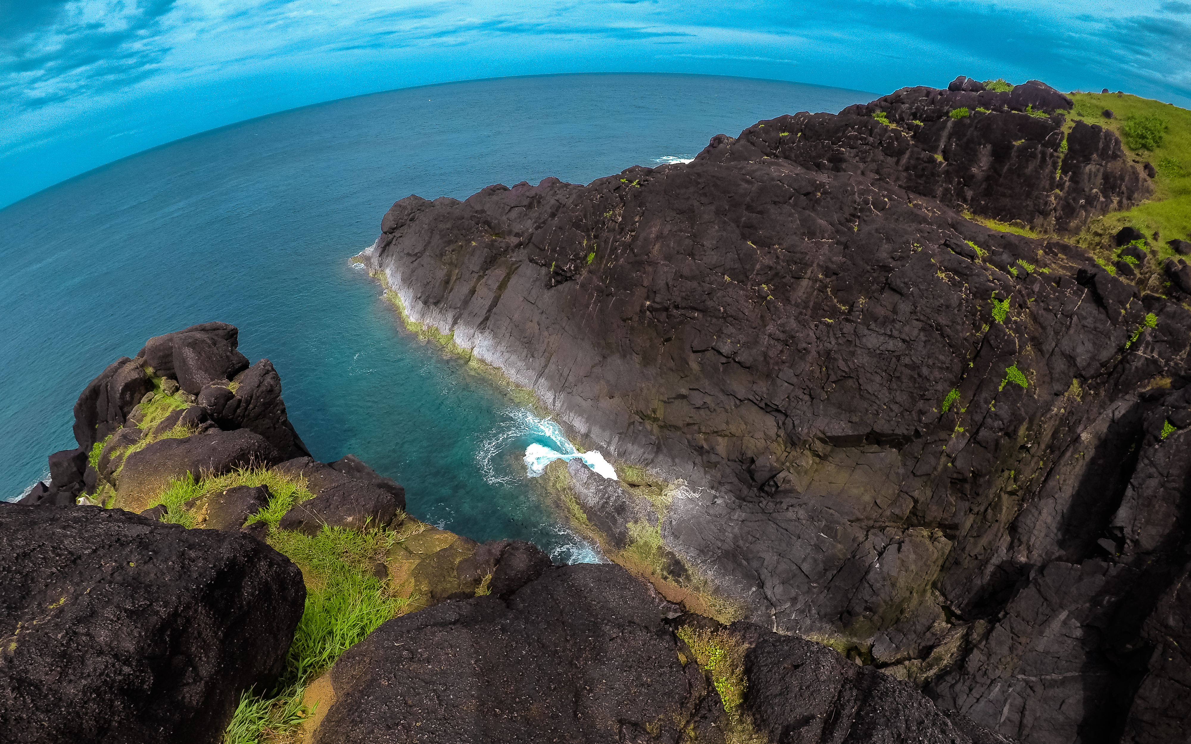
BINURONG POINT

Sundown at Igang
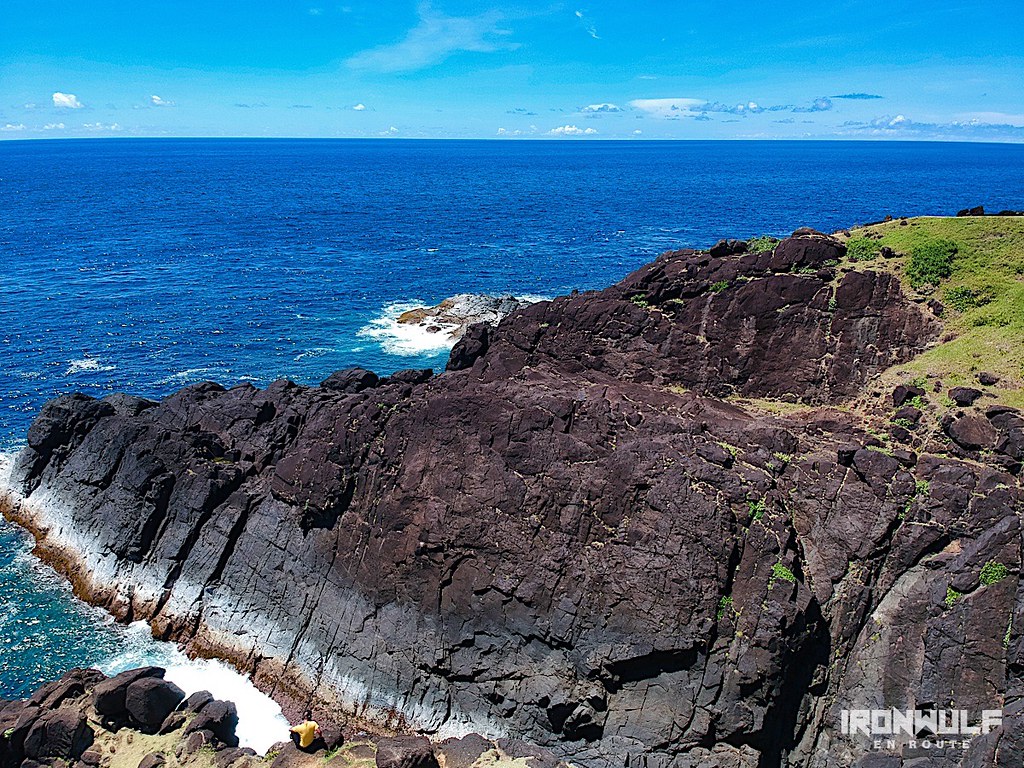
Binurong Point
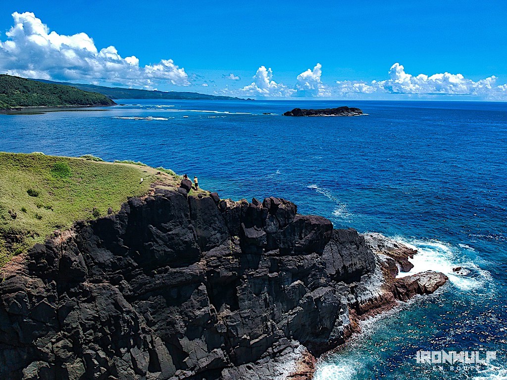
Binurong Point

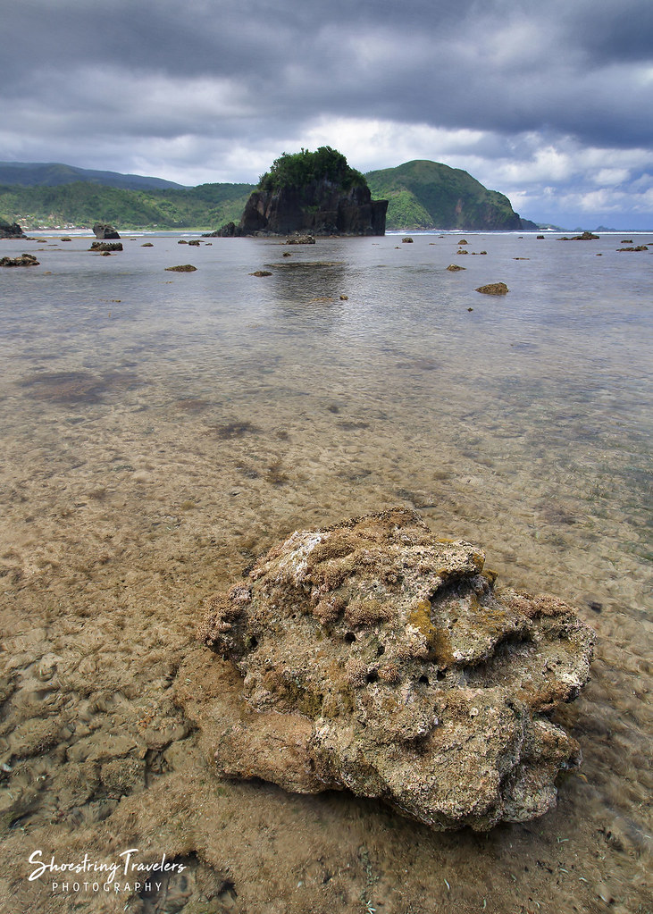
Sunset at Twin Rock
Carorian Poseidon Rock
Binurong Point
Binurong Point
Topographic Map of Tamburan, Bato, Catanduanes, Philippines
Find elevation by address:

Places near Tamburan, Bato, Catanduanes, Philippines:
Barangay Libod
Bato Municipal Hall
Bato
Cabugao
Bote
Pananaogan
Bote Lighthouse
Baras
Antipolo Del Norte
Catanduanes
Binurong View Point
Mamangal Beach Resort
Catanduanes Island
Barangay Obi
Pedro Vera (summit)
San Andres
Caramoran
Bagamanoc
Bacacay
Basud
Recent Searches:
- Elevation of Corso Fratelli Cairoli, 35, Macerata MC, Italy
- Elevation of Tallevast Rd, Sarasota, FL, USA
- Elevation of 4th St E, Sonoma, CA, USA
- Elevation of Black Hollow Rd, Pennsdale, PA, USA
- Elevation of Oakland Ave, Williamsport, PA, USA
- Elevation of Pedrógão Grande, Portugal
- Elevation of Klee Dr, Martinsburg, WV, USA
- Elevation of Via Roma, Pieranica CR, Italy
- Elevation of Tavkvetili Mountain, Georgia
- Elevation of Hartfords Bluff Cir, Mt Pleasant, SC, USA