Elevation of Bote, Bato, Catanduanes, Philippines
Location: Philippines > Bicol > Catanduanes > Bato >
Longitude: 124.322707
Latitude: 13.5740226
Elevation: 195m / 640feet
Barometric Pressure: 99KPa
Elevation Map:
Satellite Map:
Related Photos:

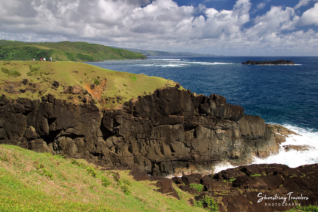
Pacific View

Catanduanes Coast

Coastal View

Through the Hills
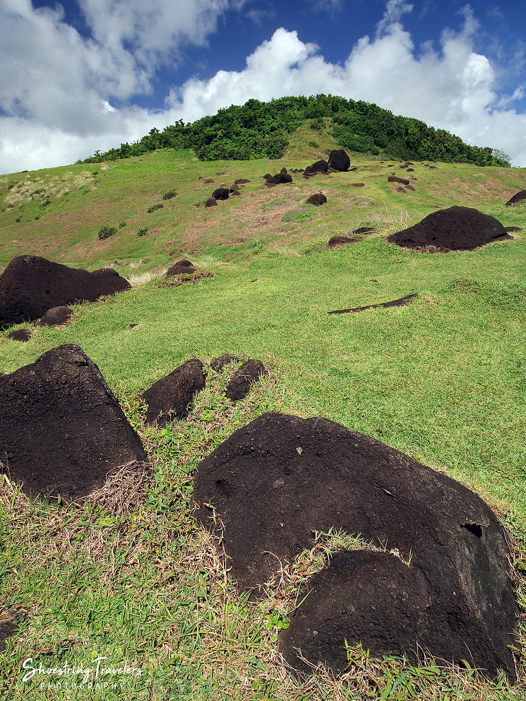
Binurong's Hills
Rolling Hills
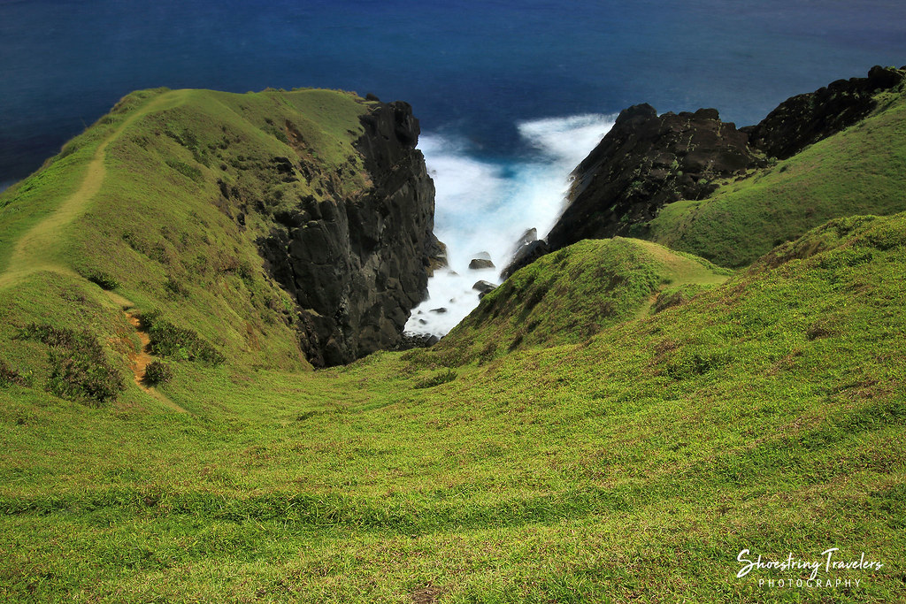
Binurong Point

Light and Shadows in the Land of Howling Winds

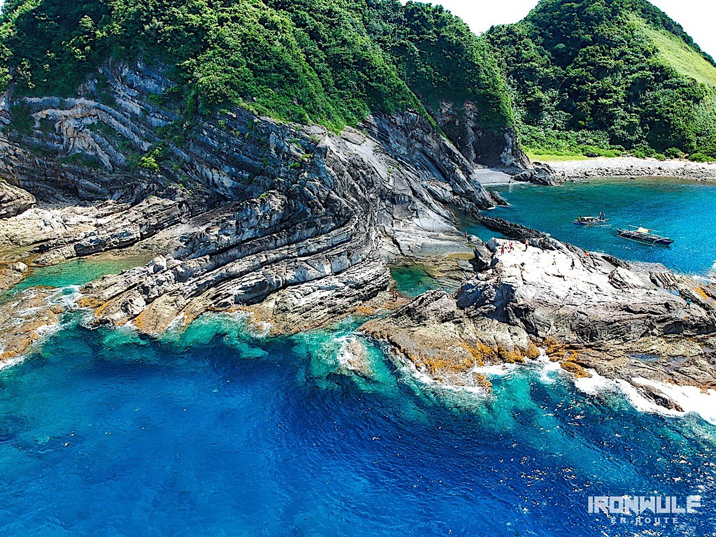
Igang Beach

Puraran Rocks!

Binurong Point

Dive Pool

Wild Flowers

Sundown at Igang

Binurong Point

Sunset at Twin Rock

Binurong Point
Carorian Poseidon Rock

Bato Church

Binurong Point

One Cloudy Day
Topographic Map of Bote, Bato, Catanduanes, Philippines
Find elevation by address:

Places near Bote, Bato, Catanduanes, Philippines:
Bote Lighthouse
Pananaogan
Bato
Tamburan
Barangay Libod
Bato Municipal Hall
Cabugao
Antipolo Del Norte
Binurong View Point
Baras
Catanduanes
Mamangal Beach Resort
Catanduanes Island
Barangay Obi
Pedro Vera (summit)
San Andres
Caramoran
Bagamanoc
Bacacay
Basud
Recent Searches:
- Elevation of Tenjo, Cundinamarca, Colombia
- Elevation of Côte-des-Neiges, Montreal, QC H4A 3J6, Canada
- Elevation of Bobcat Dr, Helena, MT, USA
- Elevation of Zu den Ihlowbergen, Althüttendorf, Germany
- Elevation of Badaber, Peshawar, Khyber Pakhtunkhwa, Pakistan
- Elevation of SE Heron Loop, Lincoln City, OR, USA
- Elevation of Slanický ostrov, 01 Námestovo, Slovakia
- Elevation of Spaceport America, Co Rd A, Truth or Consequences, NM, USA
- Elevation of Warwick, RI, USA
- Elevation of Fern Rd, Whitmore, CA, USA